2025
JUNE
June 28th – Alamos Canyon Open Space
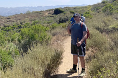
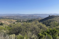
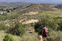
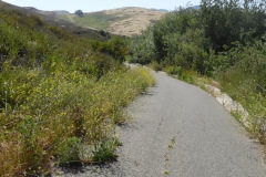
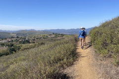
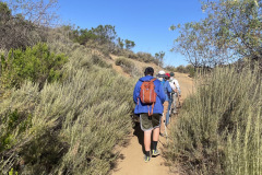
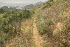
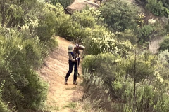
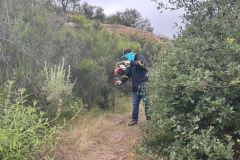
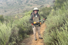
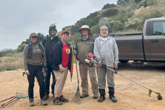
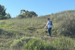
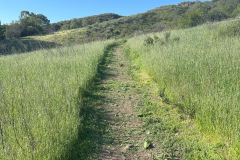
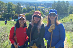
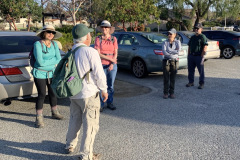
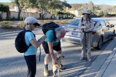
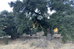
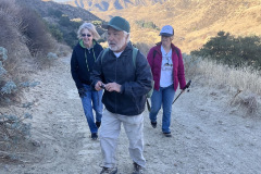
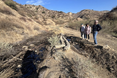
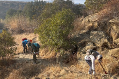
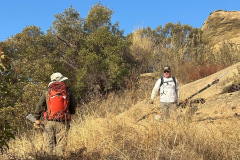
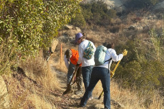
Ten hikers gathered at the trailhead of the Alamos Canyon Trail in nearby Oak Park County Park. After paying the $5.00 (weekends) parking fee we parked at the trailhead sign. We began our hike along the connector trail, connecting the true trailhead to the Alamos Canyon Road, on a warm sunny summer morning. We followed an overgrown dirt road, surrounded by trees and shrubs, until we connected to a paved road that went uphill and then under Hwy 118. There we took a short break and saw some swallow nests under the Hwy. Soon we reached the official signed entrance to the Alamos Canyon Open Space, and continued north/northeastward along the Alamos Canyon dirt road. There were plenty of birds, crows, seagulls, hawks and vultures along the way.
show more
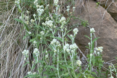
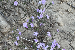
The blooming plants photographed were: datura, white sage, chaparral yucca, clustered tarweed and some Sacapellote. Also, a photo of a Cooper’s hawk on top of an antenna.
show less
June 21st – Work Party: Lower Chumash Trail
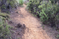
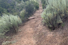
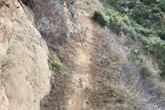
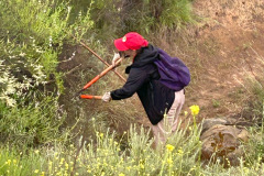
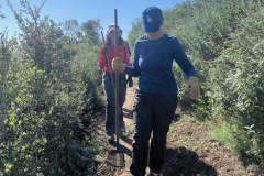
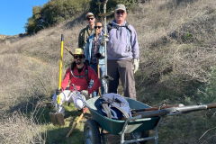
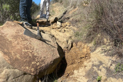
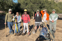
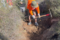
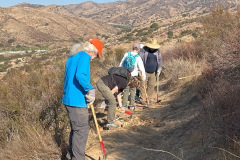
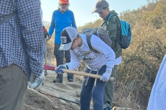
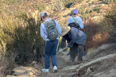
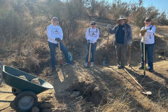
Two volunteers met at the trailhead for the Lower Chumash Trail at the end of Flanagan Drive in Simi on a pleasant partly cloudy morning at 8:00 AM. The trail was in good condition with only minor growth along the edges. The beginning of the trail was recently cleared by Rancho Simi Parks and Recreation thanks to Paul Friedeborn. The volunteers went up the trail with two shovels, a pick mattock and a pair of loppers. Using shovels and pick mattocks they cleared mustard, deerweed and a few California sagebrush. Using the loppers one volunteer cleared overhanging sumac, ceanothus and some scrub oak. Thank you, Mike Kuhn and Martin DeGoey.
June 7th – Porter Ranch Counterclockwise Loop
Six hikers met on a delightfully overcast morning at 7:00 AM near the Aliso Canyon Trail trailhead, just below Porter Ridge Park on Sesnon Blvd. east from the north end of Reseda Blvd. We began our counter clockwise-loop walking through Porter Ridge Park, to the end of Ormskirk Avenue. There, to the west is a trail referenced as the Sesnon Trail (which forms the border of a housing development to its south). We followed the trail to where Tampa Avenue ends and where the trailhead at the north end of Limekiln Canyon begins. After a short stroll through the lush verdure of Limekiln Canyon, we crossed Tampa Ave. to the wide well-maintained Palisades Trail. An enjoyable trail providing views of the surrounding area, mainly to the south.
show more
show less
MAY
May 31st – Woodridge Lollipop Loop
Five hikers met at the Long Canyon Trail parking lot in Wood Ranch on a bright, late spring morning. The Hike began by going west on the Woodridge Connector Trail where we saw a brush rabbit (Sylvilagus bachmani), or western brush rabbit. It is a species of cottontail rabbit that is gray, black or brown with small ears and a small dark tail that is white beneath. Continuing, the trail turned upward, becoming a single track and crossed a paved road into Thousand Oaks, connecting up with the Woodridge Loop trail. Along the trail there were views of elegant houses and Conejo Valley off to the south, and to the north at one point we could see Bard Reservoir through a fence. The hike continued around a gated community at the end of Sunset Hills Blvd, until we started heading east into Long Canyon Open Space. We enjoyed different types of scenery, quiet air and each other’s company, along with various flowers such as; California everlasting, purple sage, California poppy, cliff aster, California buckwheat. There were birds and lizards and curiosities to see, along with plenty of conversation. It was a fun 4.6 miles round-trip hike with around 660’ of elevation gain/loss when we arrived back to our vehicles at the Long Canyon Trail head.
May 24th – Wildflower Walk: The Chumash Trail
16 enthusiastic hikers met at the Chumash Trail trailhead at 9 AM, on a cool overcast morning. This was the fifth wildflower walk in a series of six led by Mike Kuhn this Spring. We learned about wildflowers and the local history of the area. All in attendance enjoyed our short time together going up the trail a total of about 2.5 miles, with just over 513’ of elevation gain. The following is a listing of what we saw along the trail:
show more
Laurel Sumac (Malosma laurina)
Black Mustard (Rhamphospermum nigrum)
Chamise (Adenostoma fasciculatum)
Sugar Bush (Rhus ovata)
Golden Yarrow (Eriophyllum confertiflorum)
Golden Stars (Bloomeria crocea)
Purple Sage (Salvia leucophylla)
California Sage (Artemisia californica)
Deer Weed (Acmispon glaber var. glaber)
Bindweed (Convolvulus)
Sticky Monkey Flower (Diplacus aurantiacus)
Elegant Clarkia (Clarkia unguiculata)
California Everlasting (Pseudognaphalium californicum)
Wooly Bluecurls (Trichostema lanatum)
Yerba Santa (Eriodictyon californicum)
Turkish Rugging (Chorizanthe staticoides)
Santa Suzana Tarplant (Deinandra minthornii)
Yellow Mariposa Lily (Calochortus luteus)
Butterfly Mariposa Lily (Calochortus venustus)
Chaparral Yucca (Hesperoyucca whipplei)
Popcorn (Calistoga popcornflower)
Scarlet Larkspur (Delphinium cardinale)
Cudweed Aster (Corethrogyne filaginifolia)
show less
May 17th – Work Party: Upper Stagecoach Trail
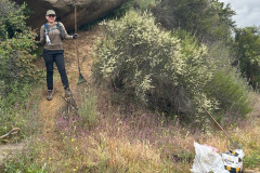
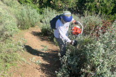
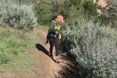
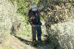
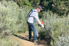
Four volunteers met at the trailhead for the Upper Stagecoach Trail, off Lilac Lane Simi Valley, on a slightly drizzly Saturday morning. With one volunteer using a gas-powered hedger, and one volunteer using a gas-powered weed whacker, we eagerly started working. The other volunteers, armed with loppers and rakes, diligently cleared the trail of hedge clippings and whacked weeds. Also, a lot of brush pruning was done on thicker branches that the hedger couldn’t cut or missed. The trail ended at the Santa Susana Pass Road, where we picked up some trash.
For a remarkable transformation of a trail in need of heavy grooming, many thanks go to: Paul Friedeborn, Geneen Garcia, Stephenie Kennsing, Mike Kuhn and Martin DeGoey.
APRIL
April 19th – Work Party: Mt. McCoy
Six volunteers met at the western end of Washburn Street at the Mt. McCoy trailhead. It was a sunny pleasant morning as we began working our way up the trail. One volunteer chose a power string trimmer (weed whacker) and one volunteer used a gas-powered hedge trimmer, while a third volunteer used a pair of loppers and a pick mattock. We cleared the edges of the trail from heavily sprouting mustard and brush overgrowth. The volunteers cleared the trail to a good 4 ft. width, more than halfway to the top (.6 miles). We decided to call it quits early because the rest of the trail was in fair condition and there were a lot of hikers visiting the cross, on this holiday weekend. After the hedging, weed whacking and looping, three volunteers came up from behind and cleared the trail of all the tailings using leaf rakes. Thank you to the volunteers who made the trail so inviting; Keri Nelson, Tammy Sindel, Jossy Matute, Paul Friedeborn, Mike Kuhn and Martin DeGoey.
April 5th – Las Llajas Trail to the Shovel
Six hikers met at the trailhead on Evening Sky Drive on cool spring morning. We’ve hiked Las Llajas Canyon to the shovel many times, but this hike was very different. All around the trailhead we noticed a good many signs about a lost dog. The dog was a white Jindo named Leia. One of our hikers noticed something white, looking very out-of-place, on a ridge about 100’ to the north. At this point, we were only about a half-mile up the canyon, not far past the turnoff leading into the old Marr Ranch development. Moments later, the put-of-place white object started moving and we knew it had to be the lost dog. After reporting the location on social media, we continued up the canyon, hoping the owner would be able to find their dog.
show more
Northbound we climbed up the eastern slope of the mountain, atop which there are panoramic views of the surrounding area including parts of Chivo Canyon, Las Llajas Canyon, the Santa Susana Mountains, and Simi Valley. We took a break when we reached our goal, the site of a coquina (a soft whitish limestone formed of broken shells and corals cemented together and used for road building) mining operation. Various mining equipment artifacts are strewn about near the mining site, most notably a P&H Model 206 shovel.
Wildflower season is just starting, but nonetheless there were a good many in evidence including: Bush Lupine, Wishbone, Bush Sunflower, Wild Cucumber, Santa Barbara Locoweed, Stork’s Bill Filaree, Ceanothus, Tree Tobacco, Datura, Squaw Spurge, and Sugar Bush.
By chance, the two hikers who turned back, met a friendly couple at the top of the asphalt hill leading out of the canyon. The couple was dog-sitting Leia
(a known flight-risk) while the owner was out-of-country, and they were understandably relieved beyond words, that the dog was found. They told us the owner would soon be back to the trailhead. Two of us had the opportunity to meet the owner and Leia. We later learned that the dog got loose from a home in the Texas Tract and was missing since last Monday.
The hike to the shovel is always special, but today even more so. We returned to our cars, having completed a pleasant 6.13-mile hike with about 1063’ of elevation gain/loss, on a pleasant morning for hiking.
show less
MARCH
March 29th – Corriganville Loop and the Stagecoach Trail
Eleven hikers met at 8:00 AM at historic Corriganville Park at the east end of Simi Valley on an extremely pleasant spring morning. We began our hike at the Interpretive trail trailhead on the far east end of the parking lot. Passing Camp Rotary, we started up the Loop Trail in the eastern section of the park by crossing the (dry) creek that flows through the park. After seeing some rock cairns and a maze, the trail gradually rose to the west where we Soon reached a 3-way trail junction. Taking the middle trail and following it in a counterclockwise direction, we descended into a large open space until reaching the primary trail on the south side of the park. Many of the old western movies were filmed here, having several signs showing pictures and brief descriptions of movie sets filmed decades ago. There were still parts of some of the movie sets but over the years mother nature has destroyed nearly everything that was left. We finished the Loop Trail by crossing a bridge at the west end of Robin Hood Lake where below, in the concrete dam structure, underwater portholes for filming underwater scenes are still visible.
show more
NOTE: The following web link points to a very well-written description of the history of Corriganville – – –
show less
March 22nd – Sapwi Park to Chumash Indian Museum and Back
Eleven hikers met at 8:00 AM at Sapwi Trails Community Park off of Erbes road in Thousand Oaks, where the hike began. Going north east on an open space service road, surrounded with trees and lush green grass, we soon arrived at the Sapwi Bike Park, a BMX bike track. As we continued hiking east, we passed a flood control dam adjacent to the Sapwi Trails Disc Golf Course. The trail then followed the flood control basin, shaded by trees on the south side. Eventually the trail ended, emerging onto Westlake Blvd. There we crossed the street and followed Lang Ranch Pkwy to Lang Ranch Neighborhood Park, where we took a short break. Then we crossed the street again at the entrance of the Chumash Indian Museum. The museum didn’t open until 10:00 but we hiked to the Chumash Indian village where we took another short break, then headed back.
show more
show less
March 8th – Work Party: Lower Stagecoach Trail
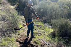
Eight volunteers gathered near the picnic area at Corriganville Park on a nice, sunny morning. After reviewing the safety guidelines and the outline for our objective, we started up the switchbacks on the Lower Stagecoach trail, Corriganville Trails (rsrpd.org). Using Pick Mattocks and shovels, we filled in low spots and ruts in the trail using dirt and rocks, some very large rocks. We also cleared and created water bars (drain dips). The soil conditions were perfect, easy to pack down. One volunteer brought a weed wacker and cleared the edges on most of the trail. Thanks, and appreciation goes to Boy Scout Troop 605, Arron Wieting and Robert Wieting, also Dana DuPuis, Noah Jansen, Adam Bloemstein, Paul Friedeborn, Mike Kuhn, and Martin DeGoey.
March 1 st – O’Melveny Park, Neon Way, Mission Point Loop
Three hikers met at the entrance to O’Melveny Park, in Granada hills, on a pleasingly cloudy March morning. Our hike began by walking southwest along the nearby sidewalk on Sesnon Blvd to its junction with Neon Way. While we walked on the sidewalk, we enjoyed the domestic trees and plants along the way. Turning north on Neon Way, after a short distance, we reached Sulphur Spring Fire Road (aka the Dr. Mario A. De Campos Trail). We began the steady climb along the fire road to Mission Point in the Santa Susana Mountains. We passed a small irrigation pool, though difficult to see, there were goldfish in it. We eventually came to a bench beneath a large oak tree. A short distance further up the trail was Mission Point, with its small, stone monument memorializing Mario De Campos and a bench called Widowers’ Bench.
show more
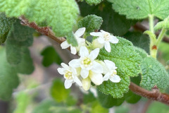
The Weather conditions Had been dry so there weren’t many wildflowers. We enjoyed some lupine and sunflower, wild cucumber, sugar bush and white-flowered currant. Nearing the top of the mountain, black muster was growing thick. A couple of domestic flowering trees we enjoyed were, a Bengal kino (orange) and an Australian golden wattle.
show less
FEBRUARY
February 22nd – Simi Peak from King James Court via China Flat
Seven hikers began their hike at the China Flat trailhead on a nice winter morning. The trail was a steady rocky climb up Dead Cow Road on the south side of the mountain; we passed interesting rock formations and enjoyed expanding views to the south. At the top of the old road we turned left (north) and followed the China Flat Trail as it descended into patches of oak trees, shrubbery of various types, and sprawling meadows. Soon we turned left (west) and followed the trail that leads up to Simi Peak (2,403’), the highest point in the Simi Hills, giving us a good panoramic view of the surrounding area.
show more
show less
February 8th – The Hummingbird Trail to Rocky Peak Fire Road
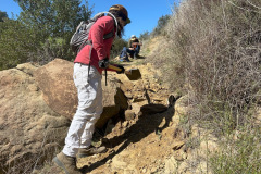
5 hikers assembled at the on-street-parking area at the north end of Kuehner Drive at the trailhead (1,175’) for the Hummingbird Trail (just outside the gate into Hummingbird Ranch) on a chilly but pleasant winter morning under a blue sky. We began our 2.3-mile eastward climb to the Rocky Peak Fire Road, taking in the increasingly wide views to the west as we gained elevation. The trail passed through (and on) a variety of imposing rock formations along the way including very large boulders and giant slabs of sandstone rock, many with small “caves.”
show more
Nevertheless we eventually reached the trail’s junction with the Rocky Peak Fire Road where we took a short break before retracing our route to our vehicles. We reached the trailhead having completed a 4.6-mile out-and-back hike with about 1,300’ of elevation gain/loss.
show less
February 1st – Big Sky Trail Loop
Eleven hikers met near the waterfall on Big Sky Place on a chilly winter morning. We walked northward along the sidewalk on Erringer Road until we reached the signed trailhead where we turned right (east) onto the Big Sky Trail. Soon we crossed a dry stream bed [a result of almost no rain since last spring] and a short distance later we turned left (north) onto the loop portion of the trail. As we hiked northward we enjoyed the fresh air and conversation with our fellow hikers. The trail followed the now-dry stream bed with several stretches of shade trees and three street crossings before it began undulating toward its northernmost point.
show more
show less
JANUARY
January 25th – Tapo Canyon Open Space
7 hikers met at 8:00 AM in the dirt trailhead parking area (1,136’) for the Tapo Canyon Open Space Trail (T23) in Simi Valley. The hike was a welcome event! After what seemed like weeks of extreme Santa Ana winds, the most destructive fires in the State’s history right in our backyard, and some of the worst air quality ever, we were finally able to hit the trail. It was a very chilly morning and the small patches of warming sun along the tail were most inviting. Our timing was perfect, just ahead of the rain forecast the next day.
show more
The hikers turned right and began hiking the T23 loop which took them along a dirt road/trail that led downward through an oak woodland toward its eastern junction (1,276’) with itself. They then turned right (leaving the loop) and descended into Chivo Canyon (1,224’) where they took a short break at the ever-popular oil seep. They then retraced their steps to the T23 loop where they took the right fork and followed T23 back to the narrow pass, completing the loop, where they returned to the original trailhead. They completed their mostly pleasant outing having hiked 5.1 miles with a total elevation gain/loss of 713’. Several rabbits and some birds were seen along the way, along with a few other hikers, and lots of bicyclists, on a pleasant Saturday morning.
show less
January 18th – Work Party: Hummingbird Creek Trail
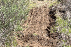
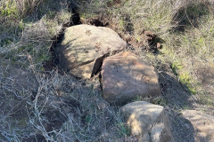
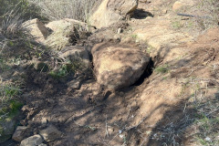
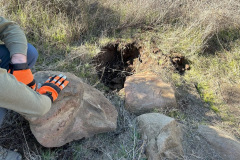
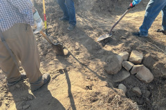
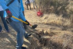
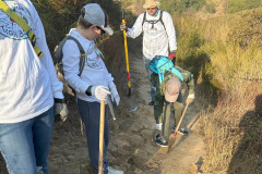
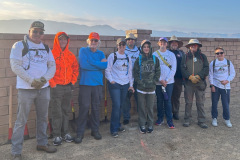
Eleven volunteers met, on a pleasant, sunny morning, for the January trail maintenance work party at the Hummingbird Creek Trail. Soon after our introductions, safety tips and objectives, we were on the trail using Shovels and pick mattocks. We concentrated on removing protruding stones that were tripping hazards while leveling and widening the trail. One volunteer brought a pole chainsaw and was able to cut down some Arundo and overhanging brush and tree limbs. Another volunteer concentrated on clearing water bars (drain dips). It was a very successful and productive morning, with special appreciation for Boy Scout Troop 605 and every volunteer; Arron Wieting, Bob Wieting,Andrew Chauvin, Lara Chauvin, Luke Chauvin, Helen Chauvin, James Fabry, Seth Fabry, Paul Friedeborn Mike Kuhn and Martin DeGoey.
January 5th – Mt. McCoy up and back
5 hikers met at the carpool point near the intersection of Royal Avenue and Madera Road on a pleasant winter morning and then (since trailhead parking is quite limited) walked from there to the Mt. McCoy trailhead on Washburn Street a few blocks to the west. The hike began along the trail heading south but it quickly began climbing gradually westward along the well-maintained (but frequently “cut” by bicycle riders) trail leading to the summit via a series of switchbacks. We took our time as the trail rose up the mountainside; we were rewarded with views of the western end of Simi Valley, including Sinaloa Lake, Wood Ranch, and the Bard Reservoir. There is a white concrete cross (erected in 1941) as well as two concrete benches at the summit, from which the Ronald Reagan Presidential Library can be seen. After a short break to enjoy the panoramic view of the desiccated landscape, we returned the way we came completing a 3.25-mile hike with 650’ of elevation gain/loss
January 4th – Wildwood Park: Mesa Trail to Tepee Trail to Wildwood Canyon (Paradise Falls) to Lizard Rock Trail Loop
It was a chilly foggy winter morning (which warmed up nicely during the hike) when we met at 8:00 AM at the main Wildwood Park parking lot at the west end of Avenida De Los Arboles in Thousand Oaks. Heading westward, we began our clockwise loop hike along the Mesa Trail. There were no other hikers and no bicyclists (presumably because it was New Years Day). Shortly after we began our hike we turned left (south) onto the Tepee Trail and followed it down into Wildwood Canyon, stopping to visit the “Little Cave” along the way.
show more
We descended to the foot of Patradise Falls and admired it for a while. Then we continued on downstream, crossing flowing water several times on short wooden bridges. When we reached Hoegeman’s Hollow, there were several picnic tables (and bathrooms). We took a short break and then continued on downstream until reaching the Hill Canyon Treatment Plant where we turned north onto the Lizard Rock Trail and followed it up to its junction with the Mesa Trail which we followed eastward back to our vehicles, thus finishing a pleasant 4.83-mile hike with 900′ of elevation gain/loss.
show less
