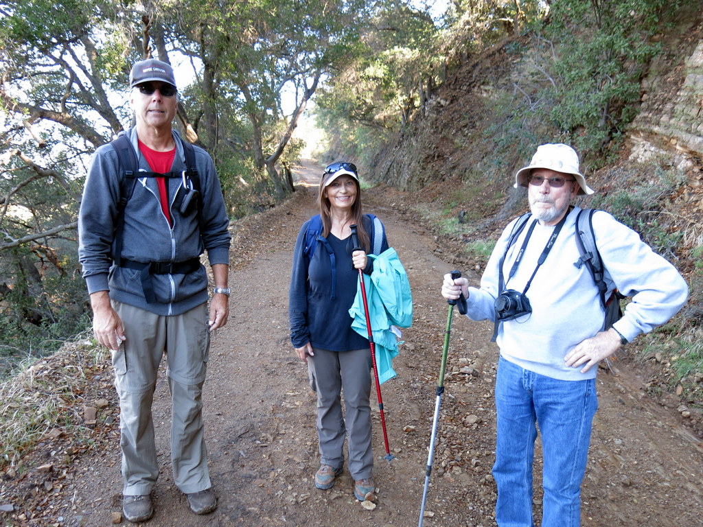
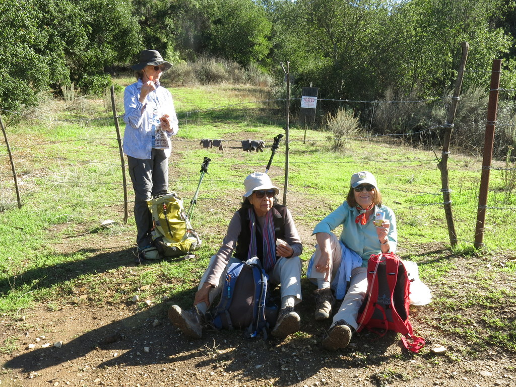
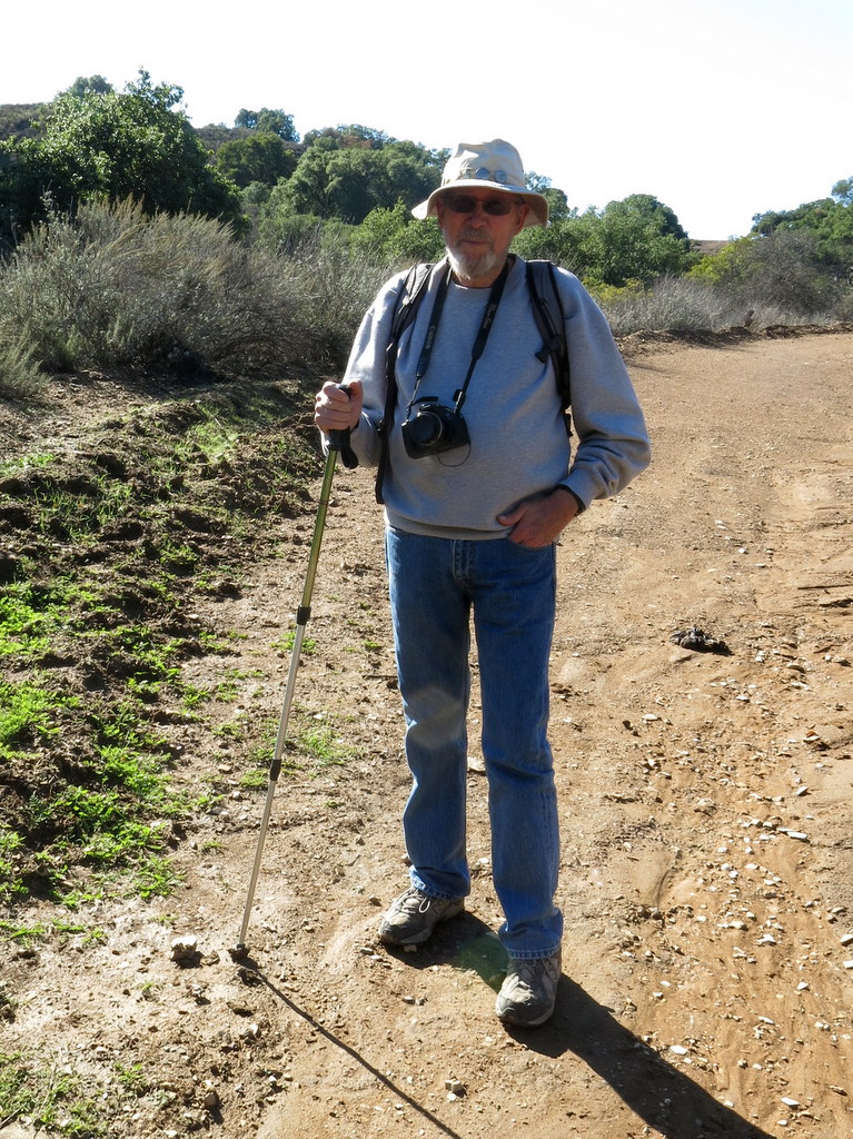
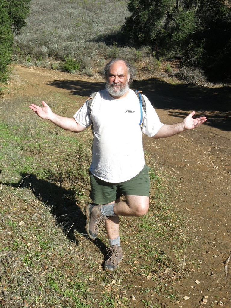
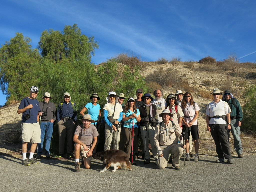
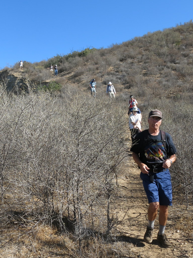
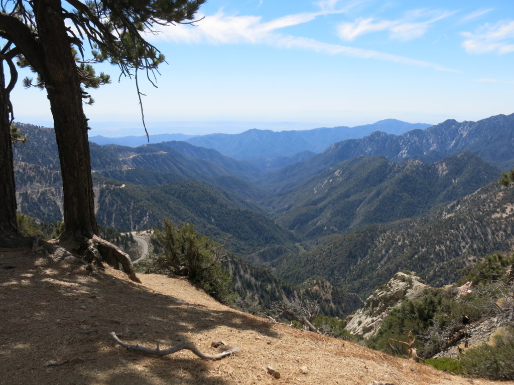
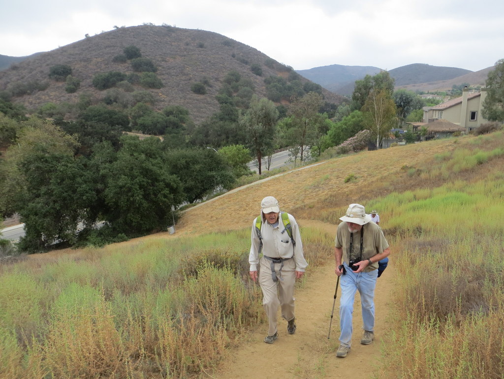
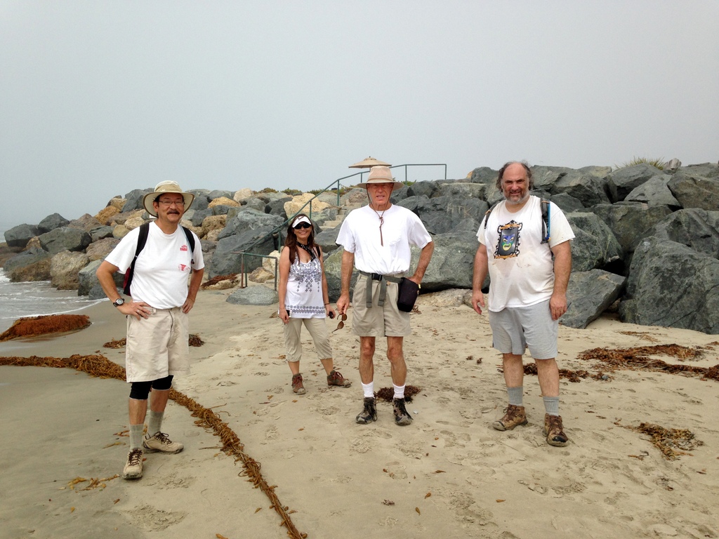
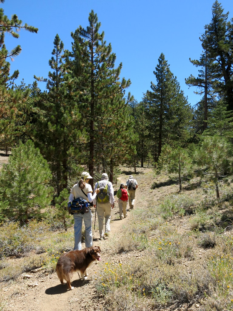
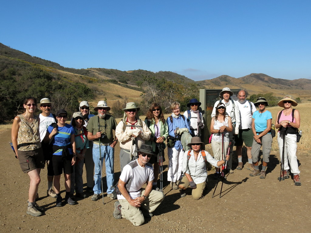
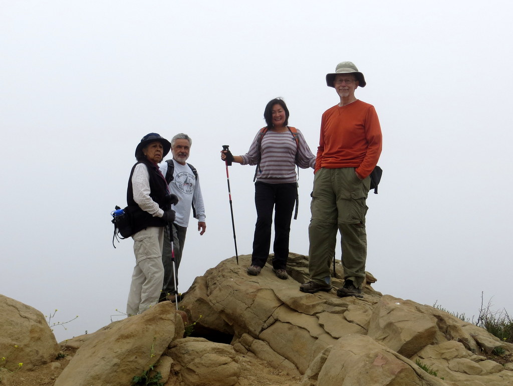
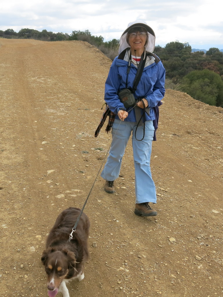
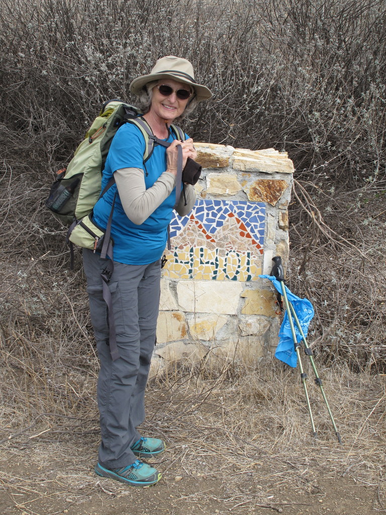
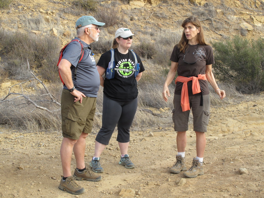
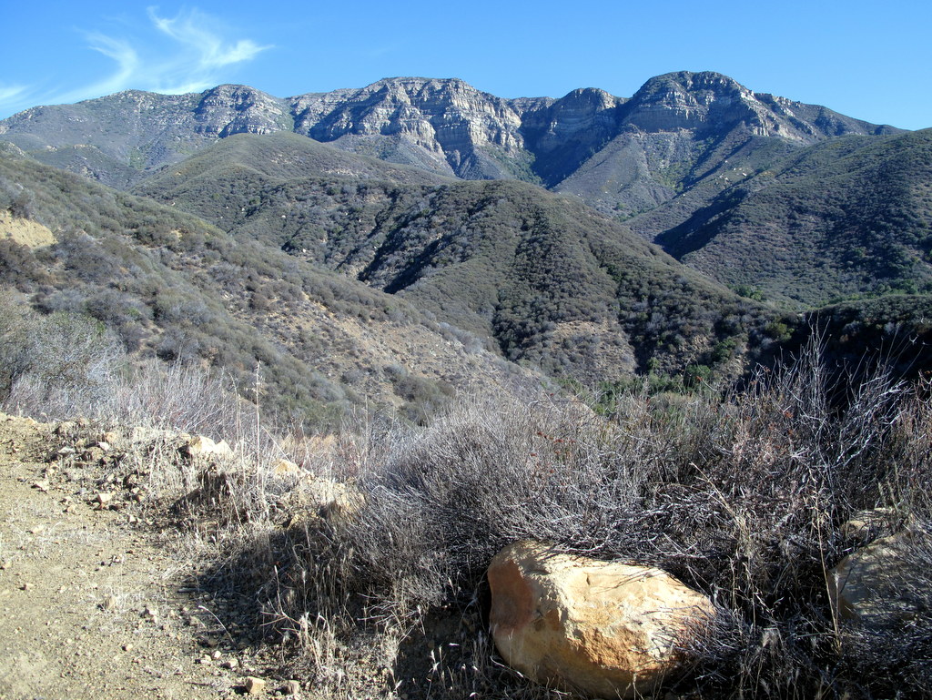
December 27th – Sage Ranch Loop
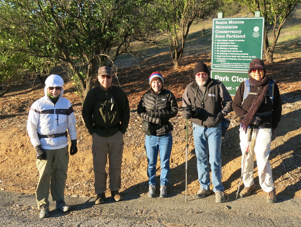
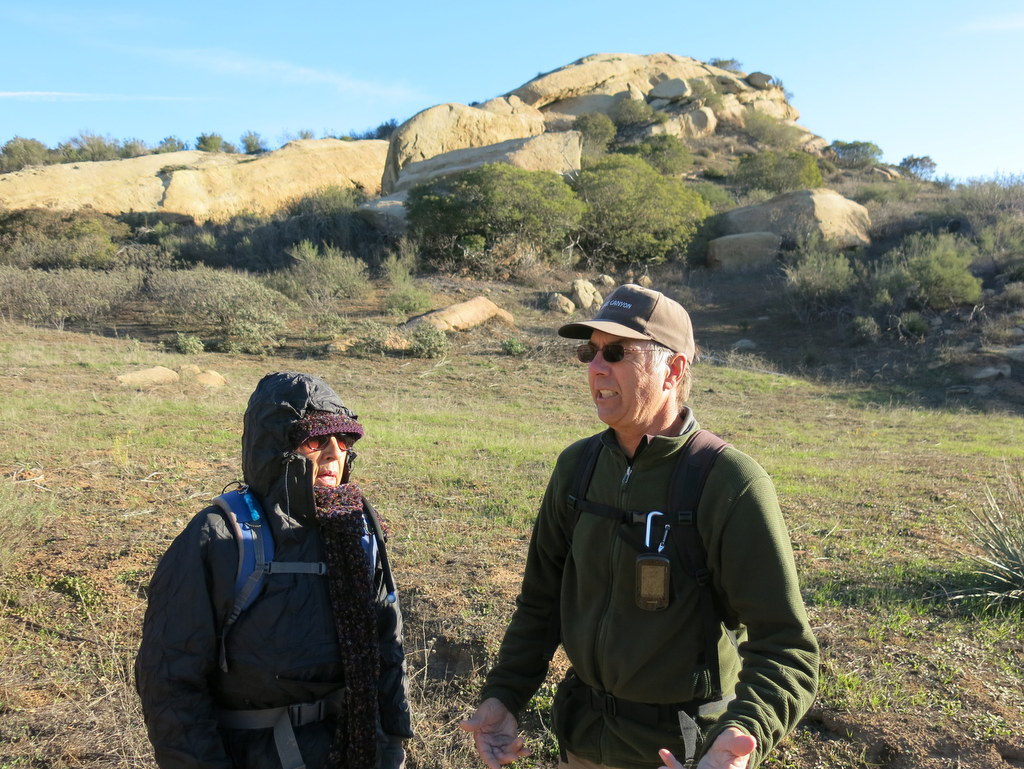
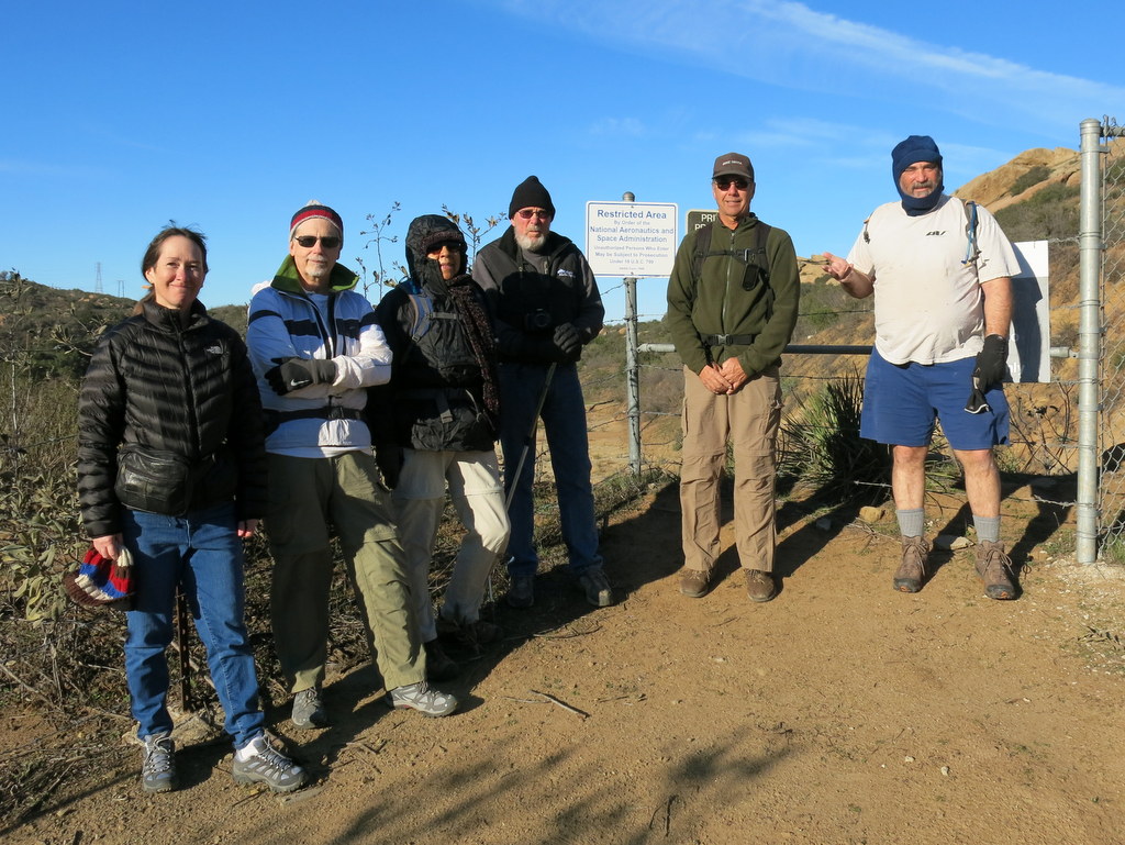
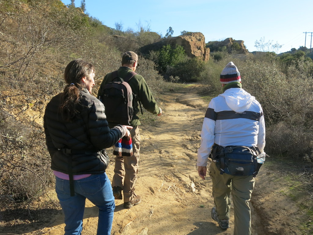
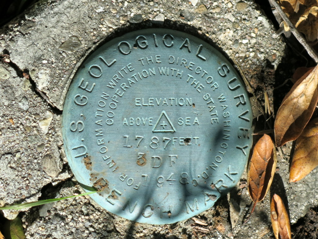
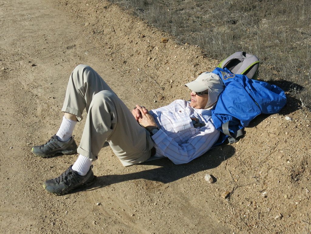
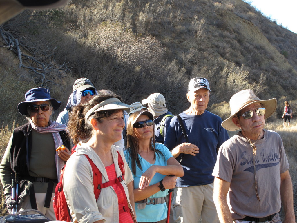
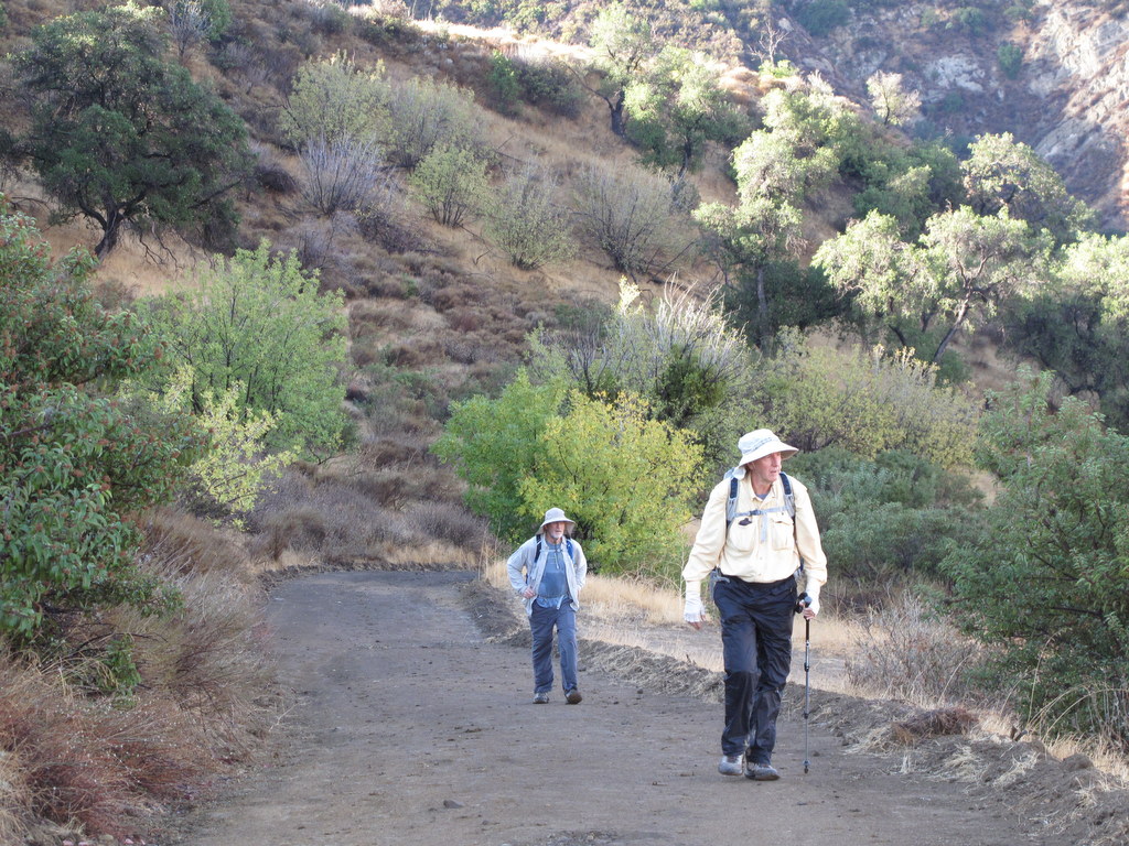
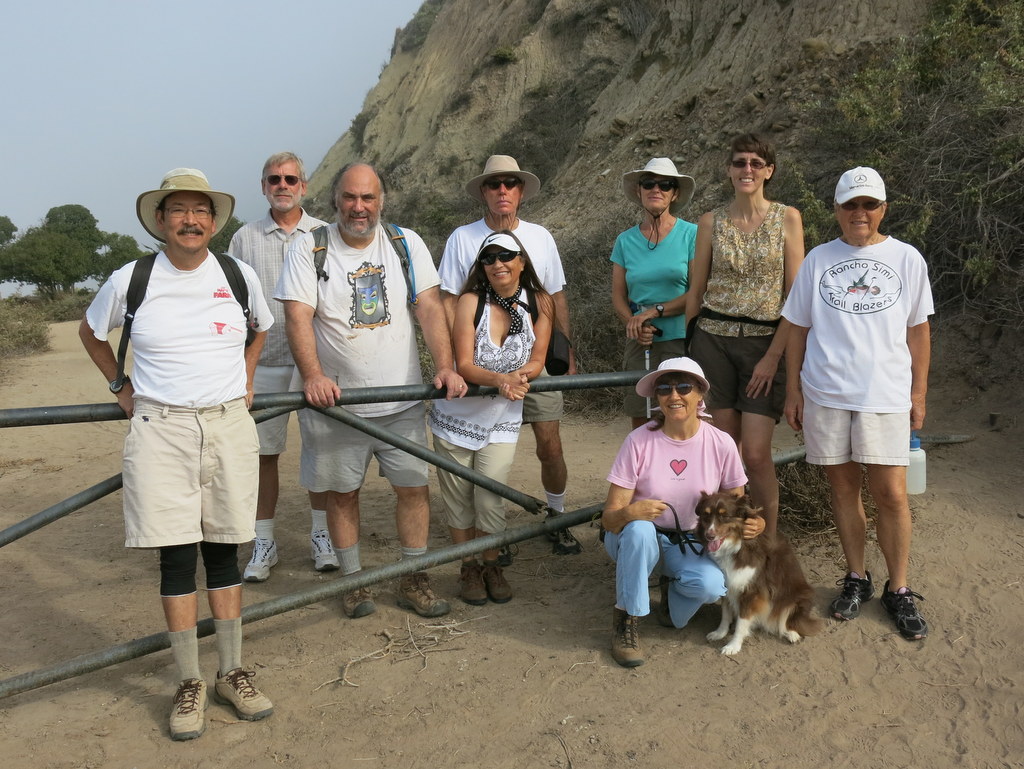
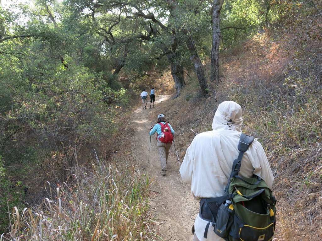
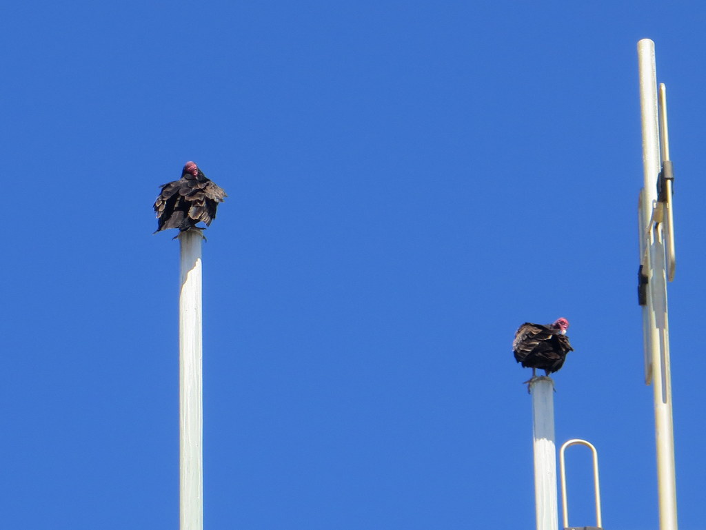
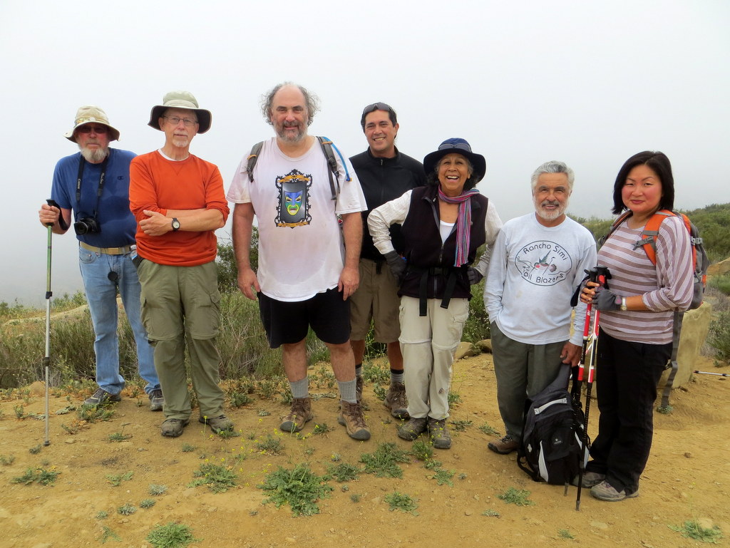
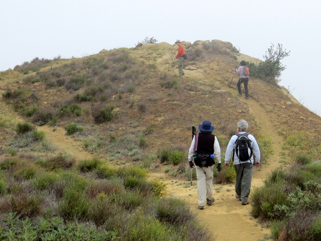
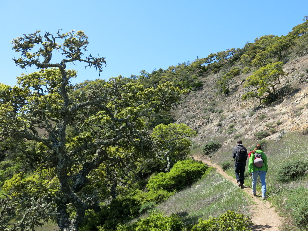
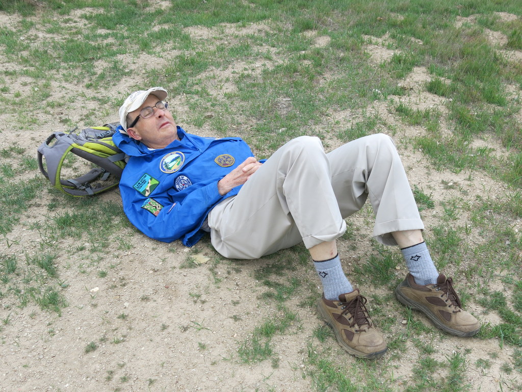
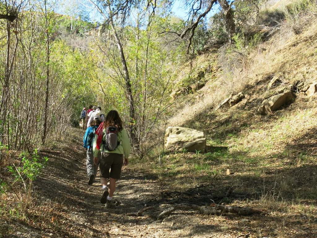
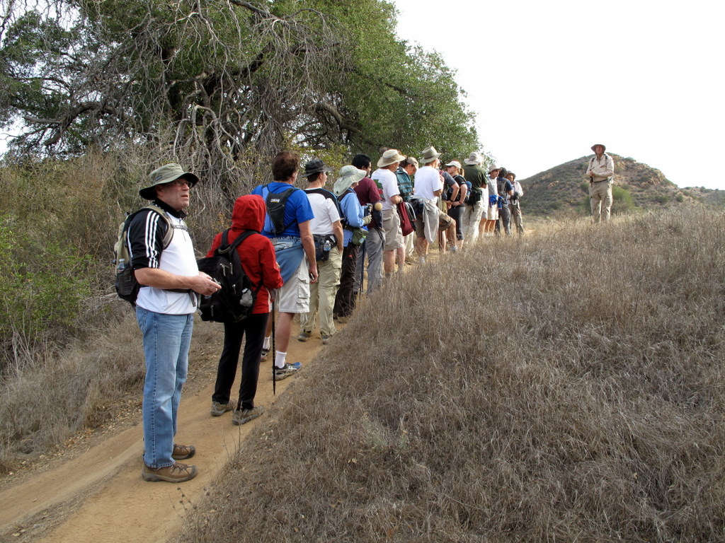
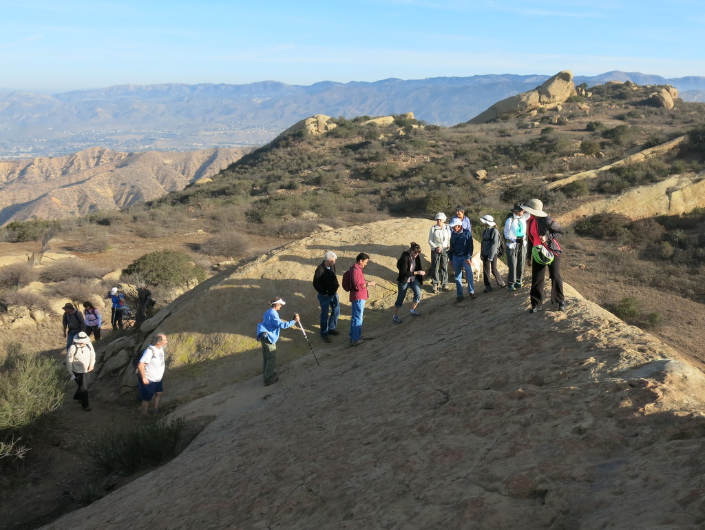
Seven intrepid hikers met at the Sage Ranch Park trailhead parking lot, high above the eastern end of Simi Valley. Starting temperatures were in the low forties and the wind gusts shook our cars. Summoning up all the bravado we could muster, the decision was made to hike the loop as quickly as possible, avoiding any side trails. The northern side of the loop was definitely the most exposed, affording an expansive view of Simi Valley. Peering out from our wind-breakers and stocking-caps, the majesty of the place was lost for us today. Thankfully, the southern side of the loop was a bit less exposed, and much more enjoyable, even though most of our views were of the Santa Susanna Field Lab. No doubt this hike was one for the Trail Blazer record books. We finished the hike in just under and hour, hiking 2.5 miles, with 660′ of elevation gain.
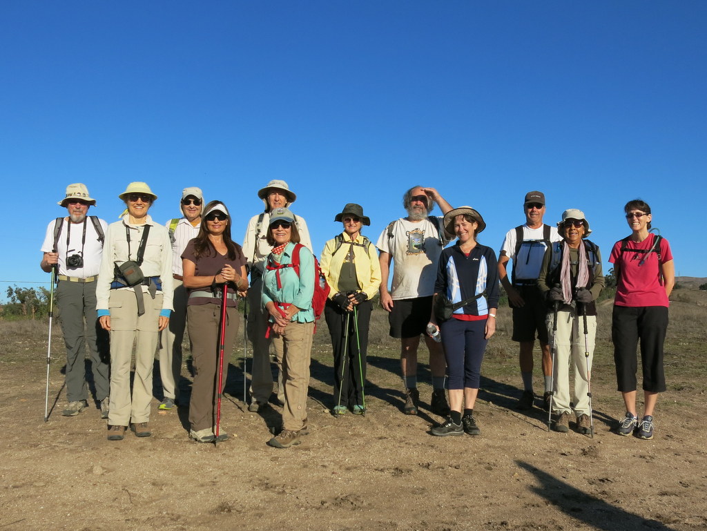
December 13th – Sulphur Mountain Shuttle
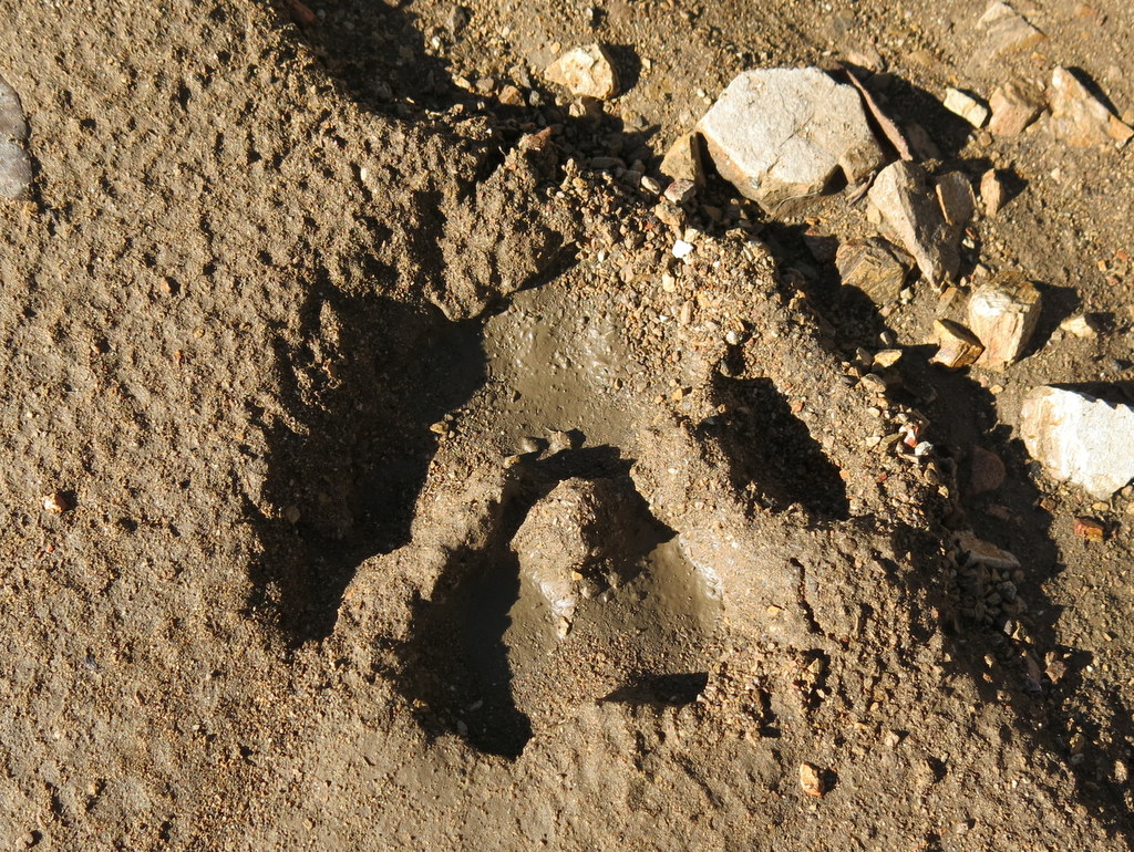
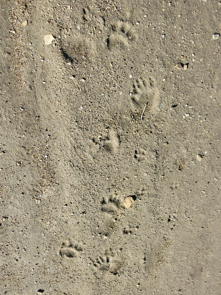
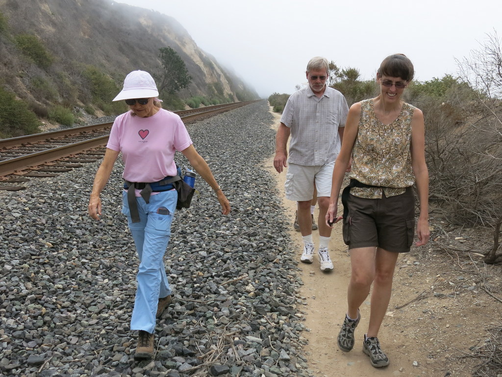
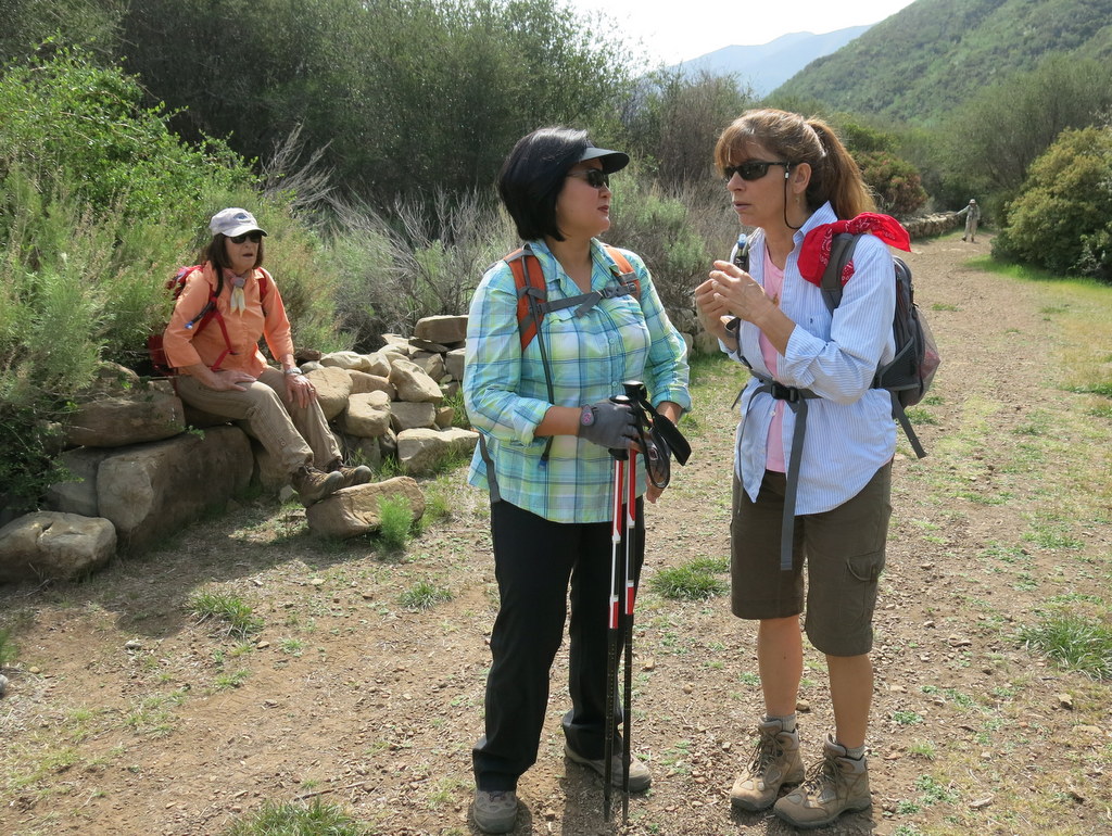
17 hikers carpooled to the paved west end of Sulphur Mountain Road (off Highway 33) near Ojai on a chilly late-autumn morning. Most of the group boarded four vehicles for a scenic drive through the Ojai Valley to the eastern trailhead via Highway 150 and the paved east end of Sulphur Mountain Road which wound uphill through a lovely oak forest where we spotted a young buck. It was a gorgeous day as 13 of us began hiking westward/downhill along the Sulphur Mountain Recreation Trail (SMRT). We were soon treated to sweeping views of the beautiful rolling green terrain between our trail and the ocean as well as clear views of the Oxnard Plain and several of the Channel Islands (NOTE: the other four hikers hiked the trail eastward/uphill). We continued westward with the upper portion of the Sulphur Mountain Ridge immediately to our north and continuous vistas of rolling hills dotted with oak trees, grassland meadows, and valleys to the south and west. There was clear evidence in the mud of mountain lion activity. Eventually we met our eastbound fellow hikers and exchanged car keys (thus avoiding another lengthy car shuttle). We resumed our journey, continuing to walk through the beautiful pastoral countryside. Eventually the trail began providing views of the Ojai Valley and the distant towering mountains to the north and west and of Lake Casitas to the west. The last mile of the trail wound downhill, heavily shaded by oak trees. We eventually reached our vehicles, having completed a very pleasant 10.6 mile hike with 400′ of elevation gain and 2,500′ of gradual elevation loss on a perfect day for hiking.
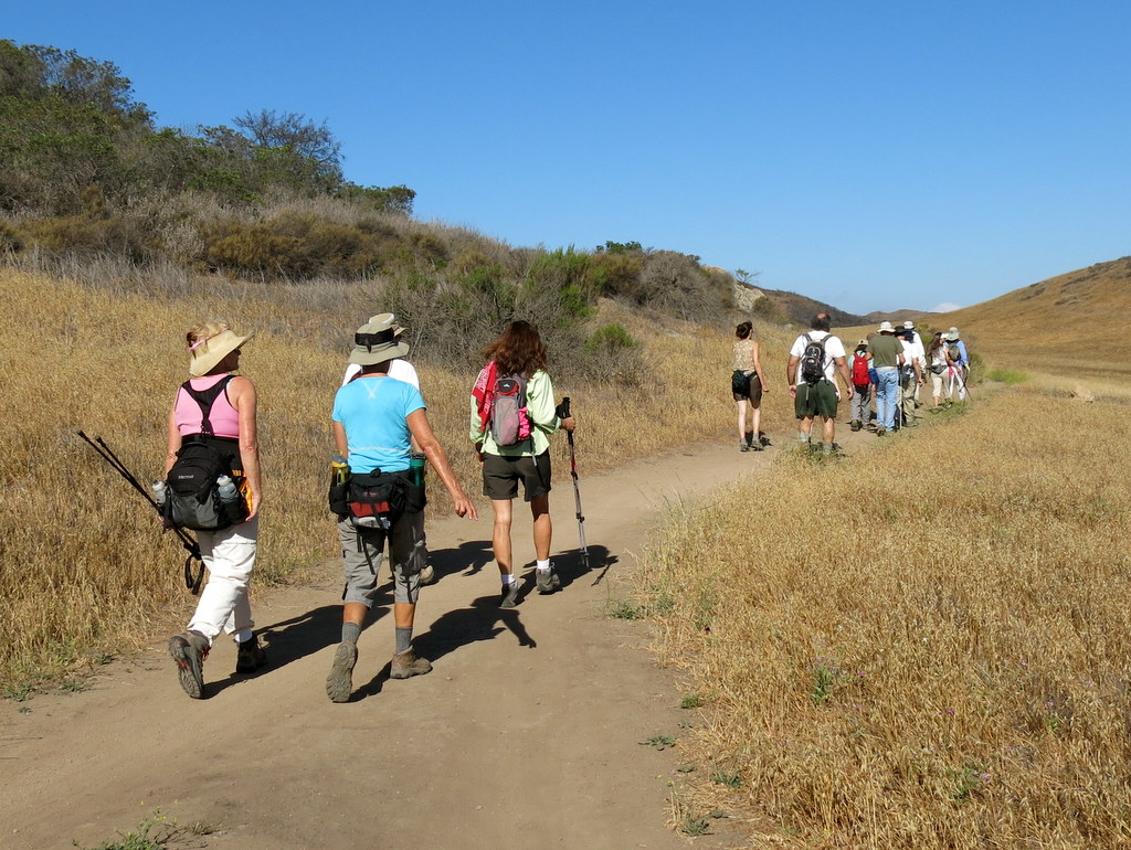
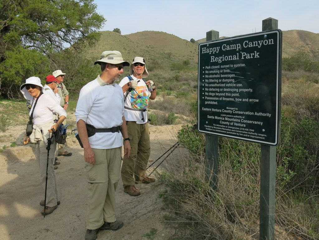
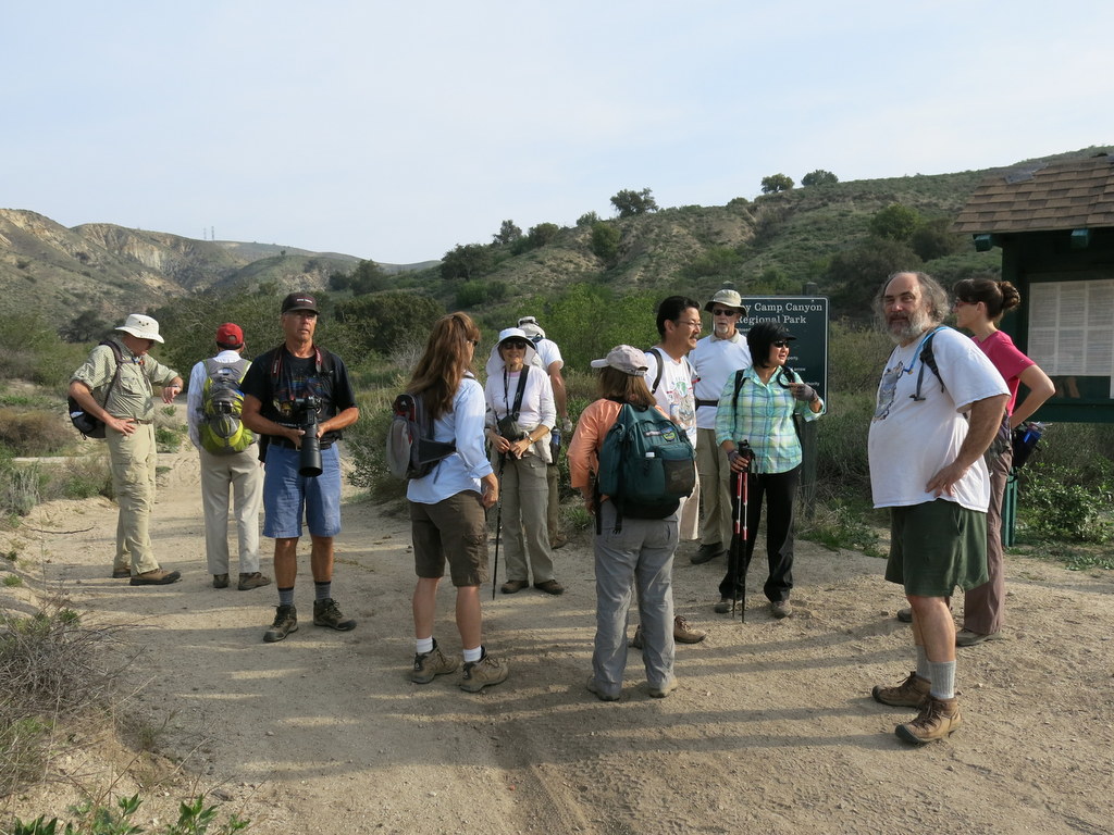
December 6th – Happy Camp Canyon, Middle Range Fire Road Loop
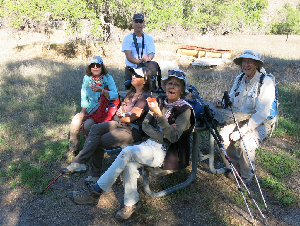

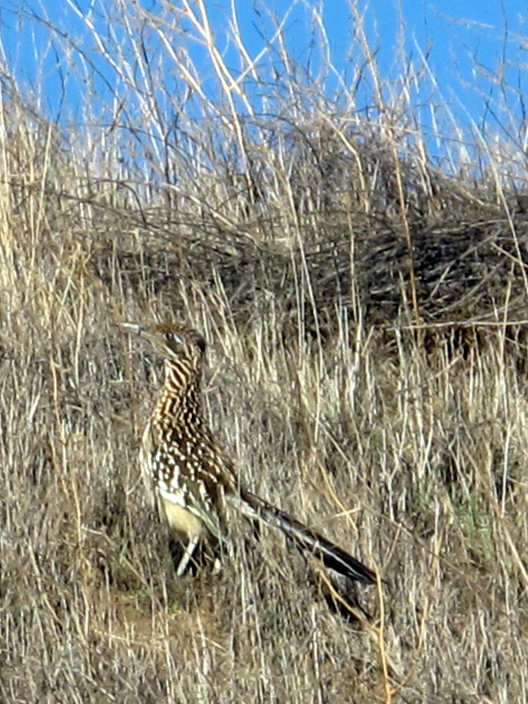
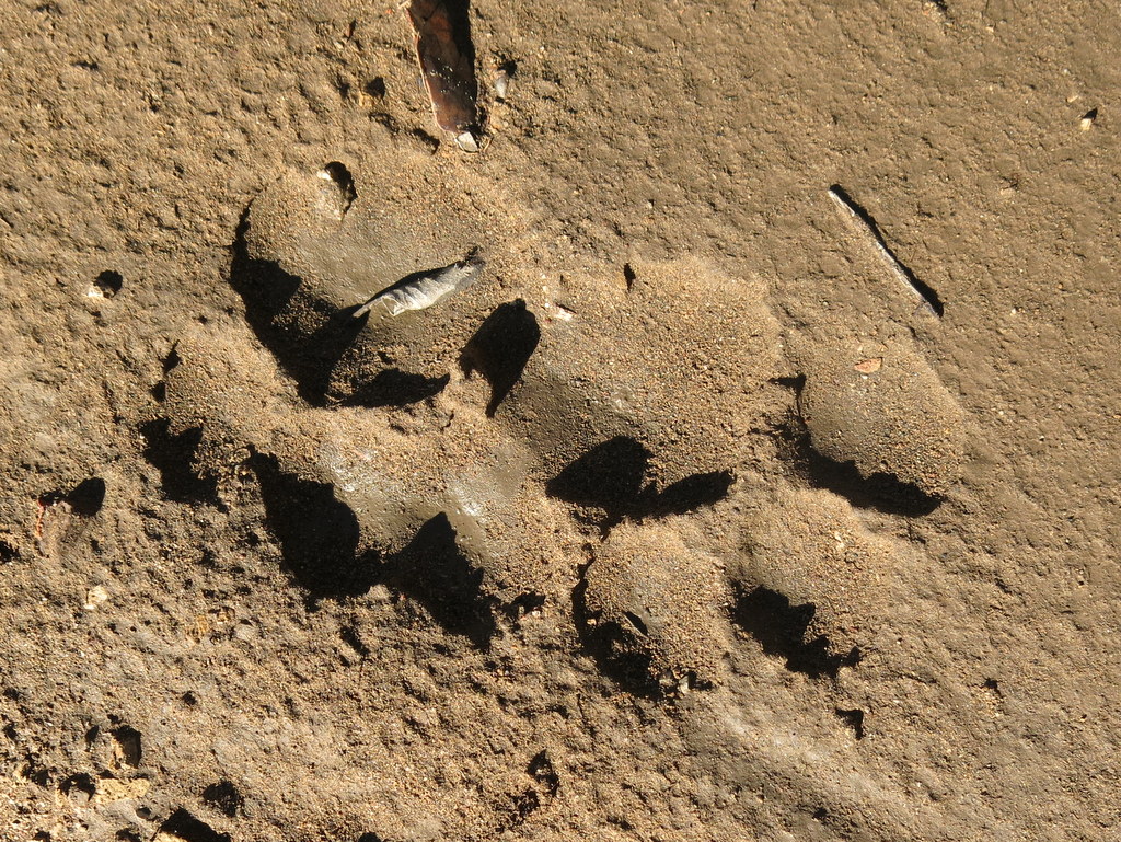
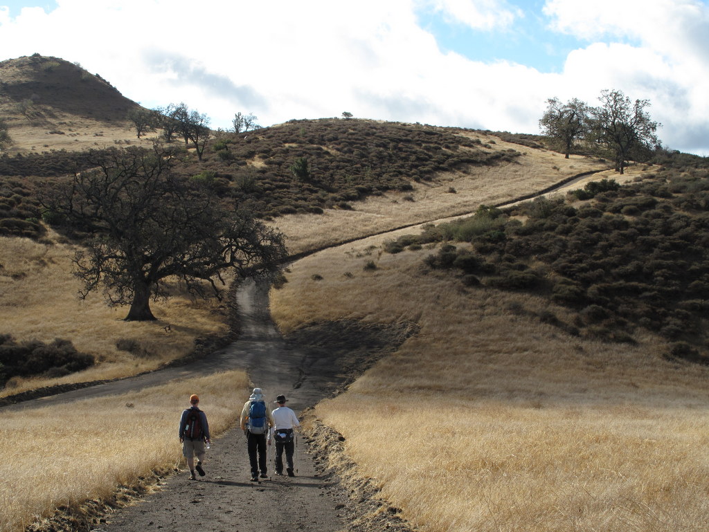
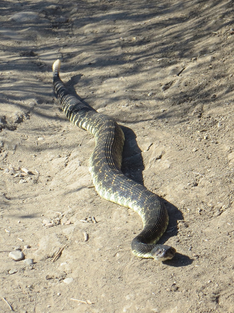
13 hikers met in the dirt parking lot at the east end of Broadway Road north of Moorpark on a clear sunny morning. We followed a well-maintained trail beside the Rustic Canyon golf course a little over a mile to the entrance to Happy Camp Canyon, “a lush riparian oak woodland with an intermittent stream,” spotting a coyote and a roadrunner along the way. Although continuing drought has eliminated “lush” and “stream,” recent rain had left its mark in the form of intermittent puddles and short muddy stretches of trail. Passing the junction with the west end of the Middle Range Fire Road, we followed an old ranch road eastward as it rose 600′ gradually in the canyon bottom between Oak Ridge and Big Mountain. At 4.8 miles we took a break in an oak grove with picnic tables and hitching rails. We then climbed steeply for 0.5 mile up Big Mountain to the Middle Range Fire Road via an abandoned, partially eroded dirt connector road. Once we reached the ridge (and recovered from the steep climb) we took in the views to the south and west which were unfortunately rather hazy. After hiking westward (spotting many deer tracks and some bear tracks) and descending to the entrance to Happy Camp Canyon, we made our way back to the parking lot, having completed an 11-mile hike with 1,500′ of elevation gain/loss on a nice day for hiking.
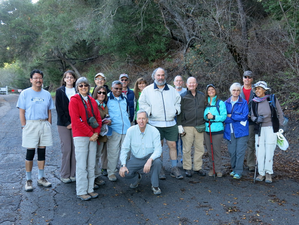
December 5th – Christmas Holiday Party Potluck


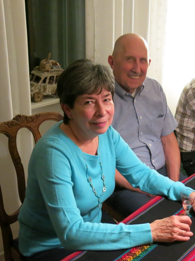

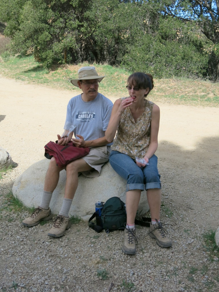
Ursula graciously opened up her beautiful home and hosted our annual Christmas Holiday party again this year. We all enjoyed the wide variety of scrumptious food, and great conversation. 28 Trail Blazers were in attendance this year. A great time was had by all. Now it’s time to do our best and hike off all the calories from the tasty desserts.
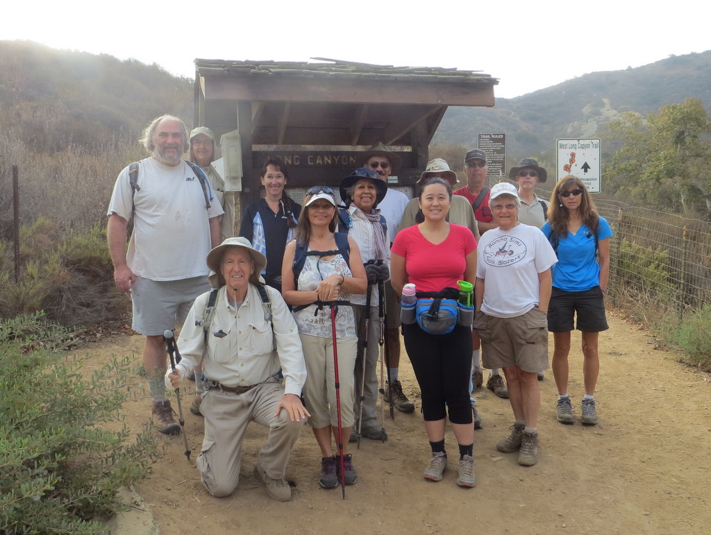
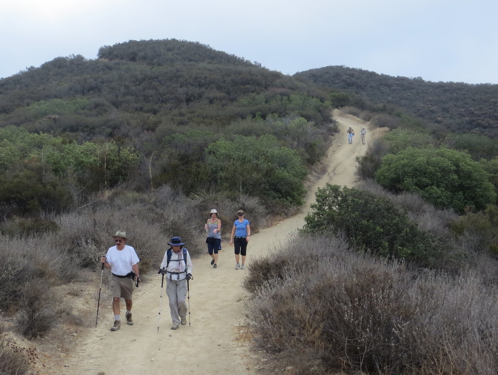
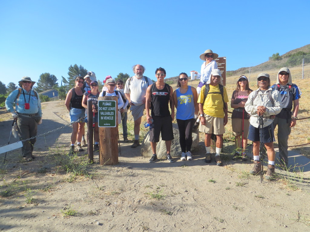
November 29th – Chivo Canyon, Tapo Canyon Overlook, Eastern Ridge, Cliff Trail
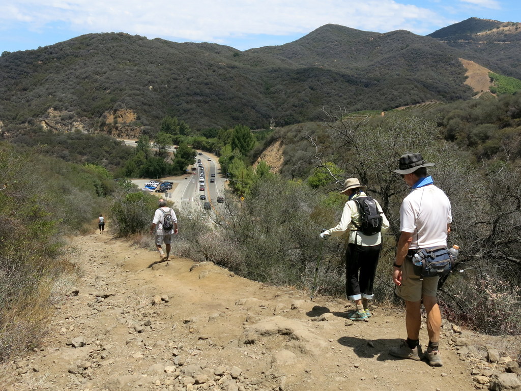
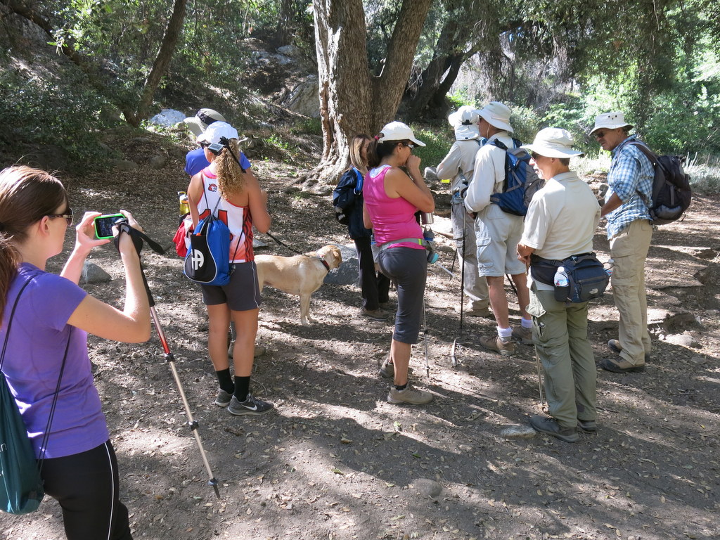
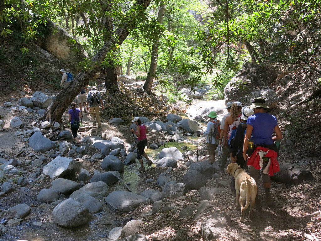
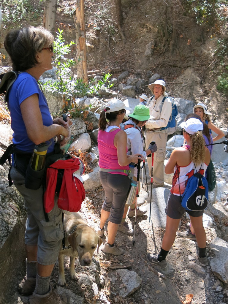
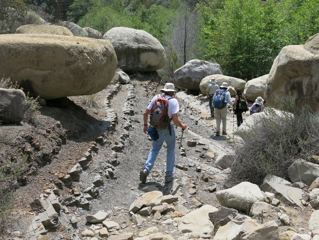
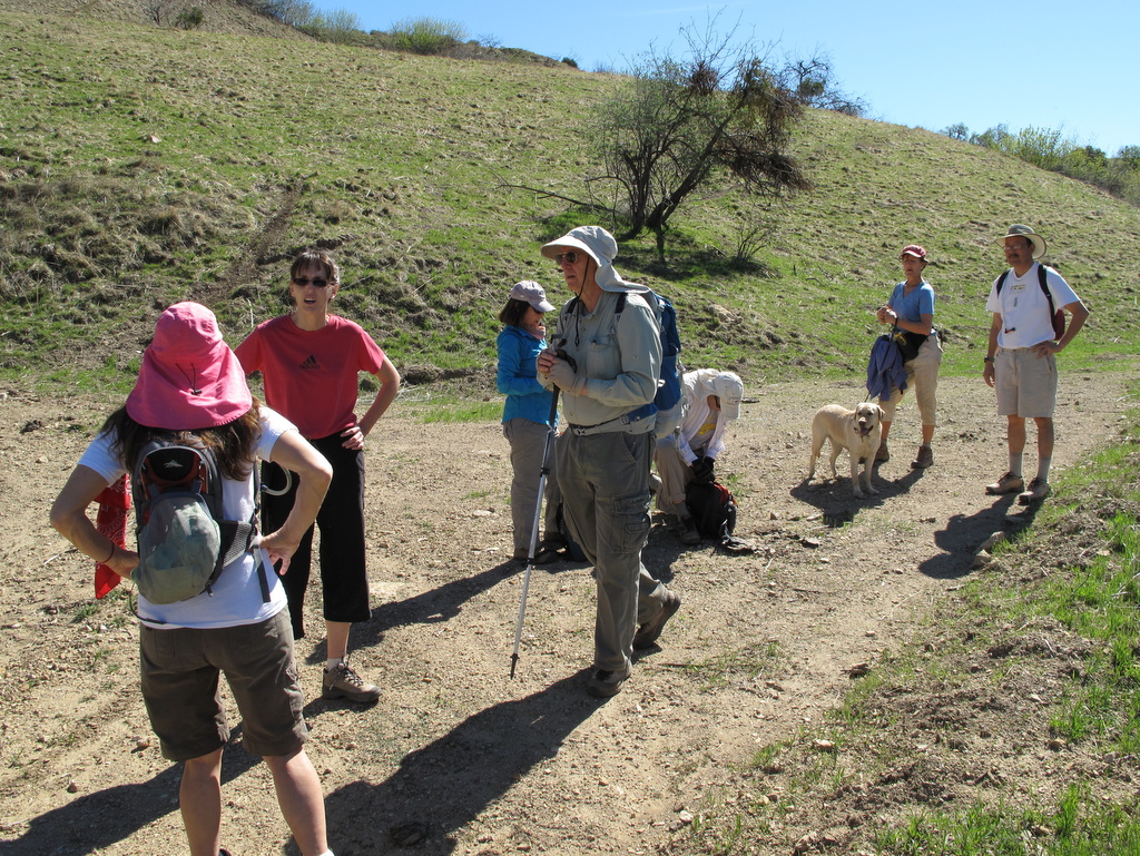
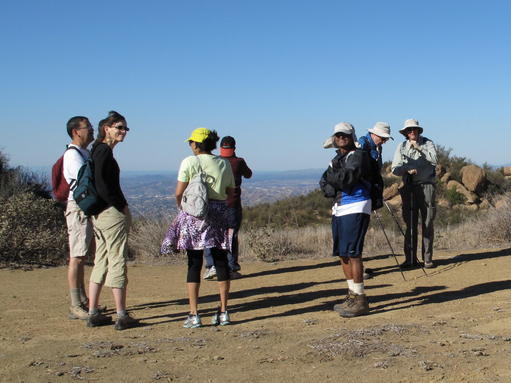
18 hikers met on a mild Saturday morning in Simi Valley near the mouth of Chivo Canyon in the Marr Ranch Open Space in northeast Simi Valley. Our hike began along Trail #22 (as shown on the RSRPD “Park Facilities Directory Map of Simi Valley and Oak Park”) as it headed up Chivo Canyon. At 0.7 mile we turned left (west) on Trail #23 and followed it through a side canyon as it climbed westward to an overlook that revealed Tapo Canyon. Returning (via a loop) to Chivo Canyon we continued north to the beginning/end of the abandoned Marr Ranch Road and followed the “Buckhorn Trail” portion of it to top of the ridge on the east side of Chivo Canyon where we had a sweeping nearly 360-degree view of the entire area. While enjoying a cool breeze, we continued south along the ridge on the Marr Ranch Road until we reached “Four Points,” where we continued south on an unnamed trail along the cliffs overlooking Chivo Canyon until the trail (an old road) dropped steeply to Cottonwood Drive. We returned a short distance to our vehicles having completed a very pleasant 7-mile hike with a total gain/loss of at least 1,500′.
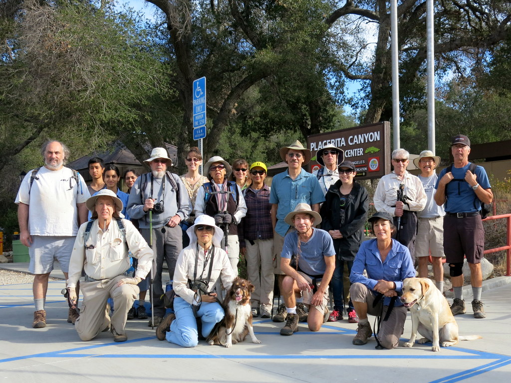
November 23rd – Placerita Canyon – Los Pinetos Trail – Wilson Saddle Loop Hike
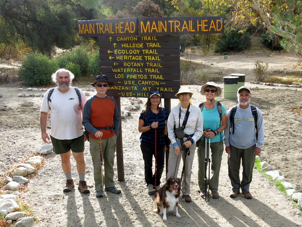
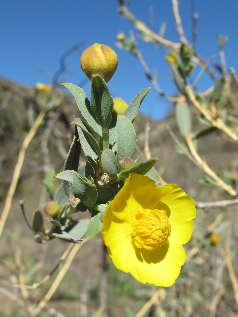
Seven Trail Blazers met at the Stearns St. Park & Ride at 8 AM, and carpooled to Placerita Canyon County Park to begin our hike. It was a pleasantly cool, calm and clear morning, just perfect for hiking. Shortly before the junction of the Placerita Canyon Trail, and the Walker Ranch Group Campground, a meetup member, who was running late, caught up with the group. The effects of a three year drought were in evidence. The creek was bone dry and there were no wildflowers to be seen. The Los Pinetos Trail was quite a workout, gaining about 1,300′ in just under two miles. Reaching the top of Wilson Saddle, the group was ready to rest and enjoy some trail snacks. After a short hike down Wilson Canyon Road, we reached the firebreak trail, that seemed to drop off abruptly like a cliff. Views are expansive from most of the trail from this point on, so it helped to take our minds off the steepness of the trail. After arriving back at our cars, some of our group took the short Oak of the Golden Dream trail. In 1842, near this oak, gold was first discovered in California by Francisco Lopez y Arbello. It was a good workout and a perfect hike, having completed 7.75 miles, with just over 2,000′ of total elevation gain.
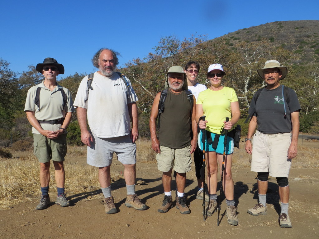
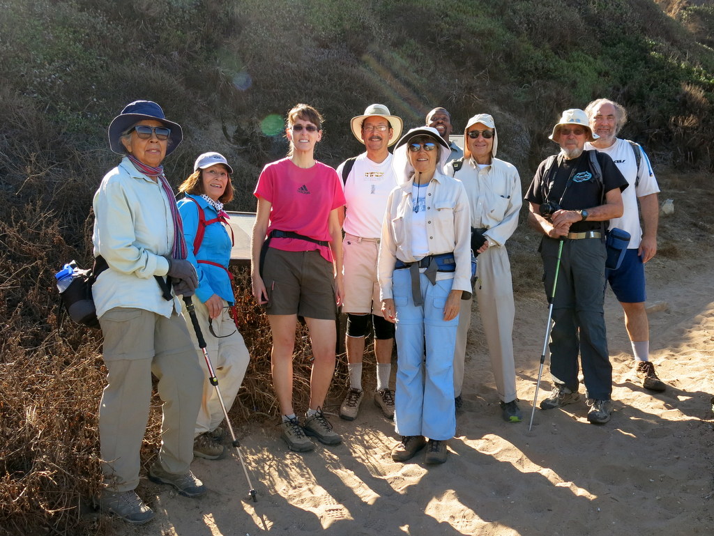
November 8th – Sandstone Peak via the Mishe Mokwa Trail
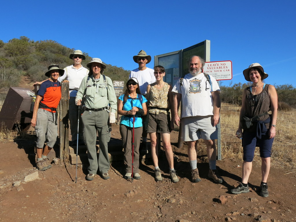
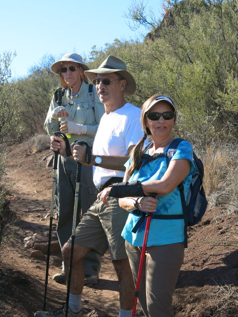
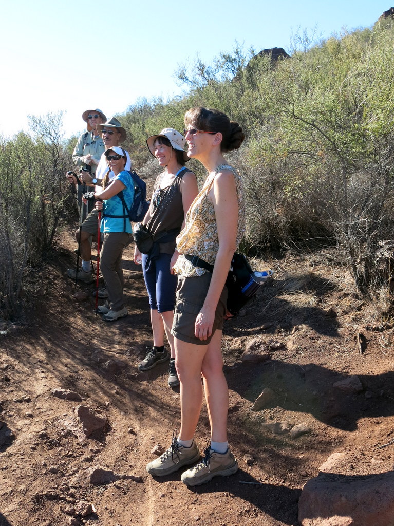
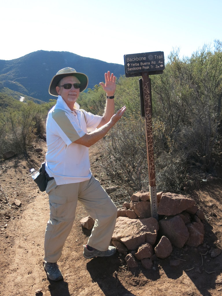
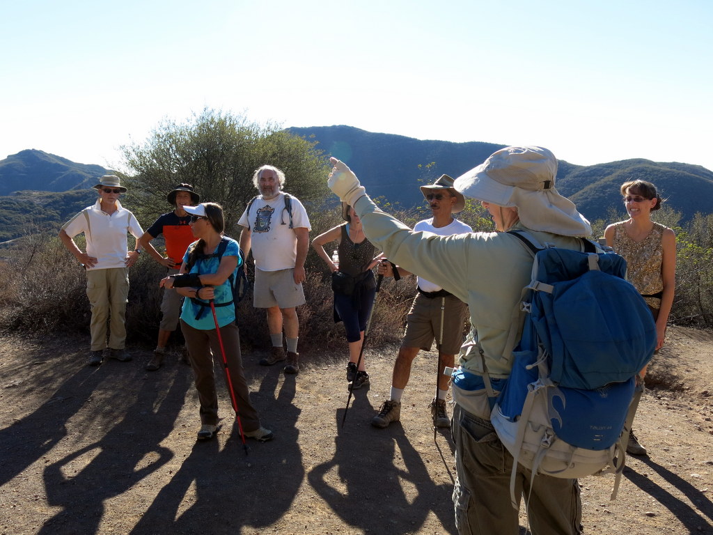
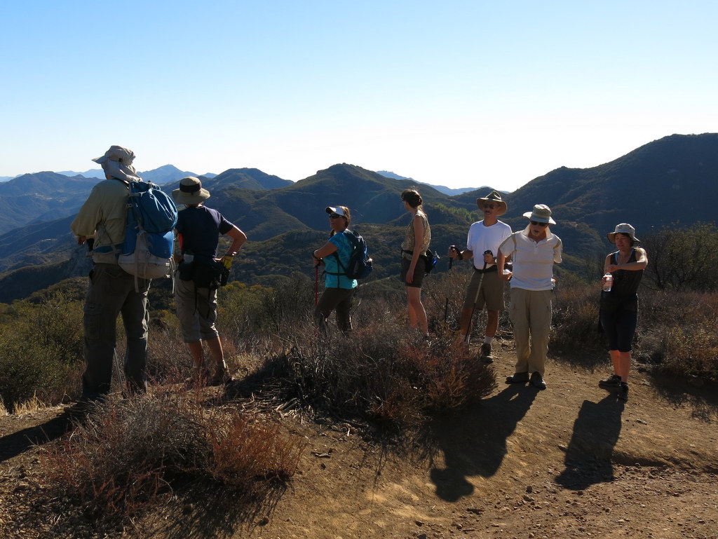
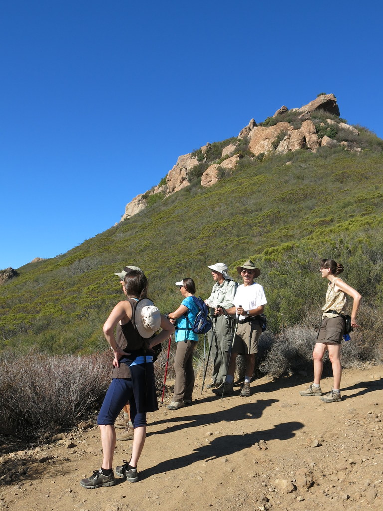
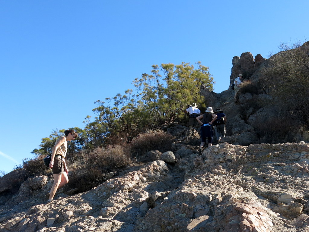
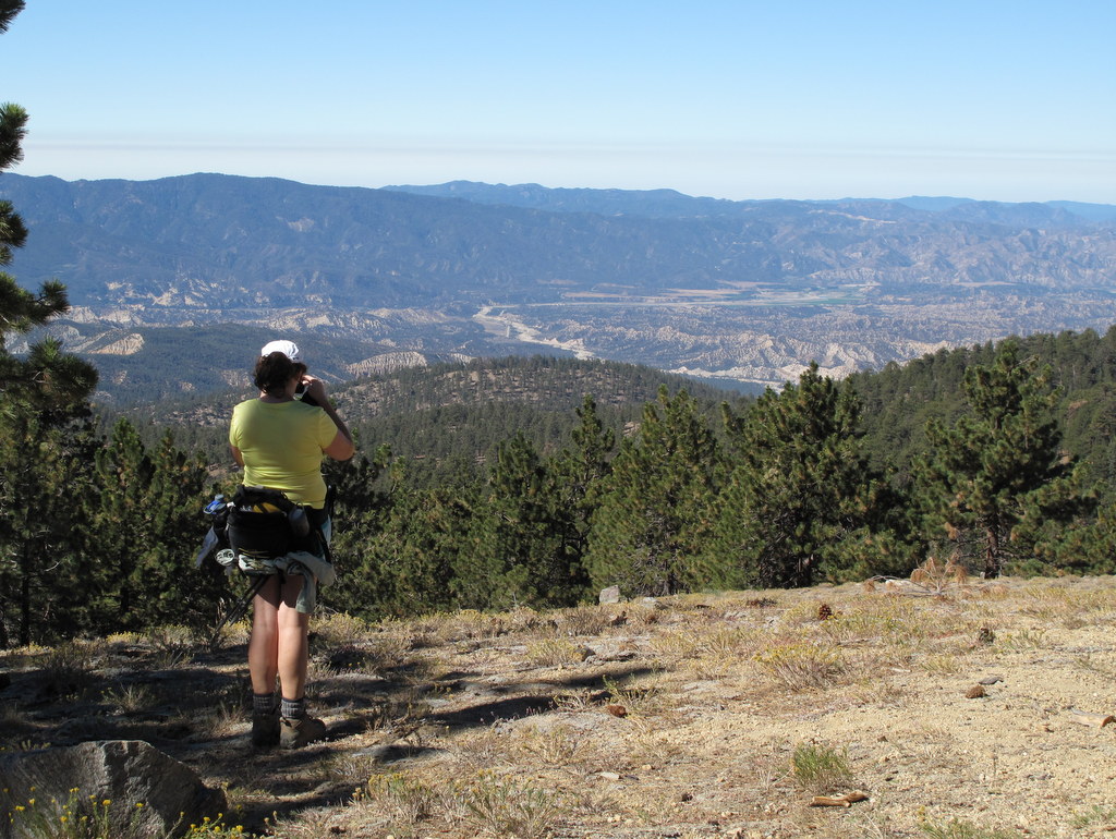
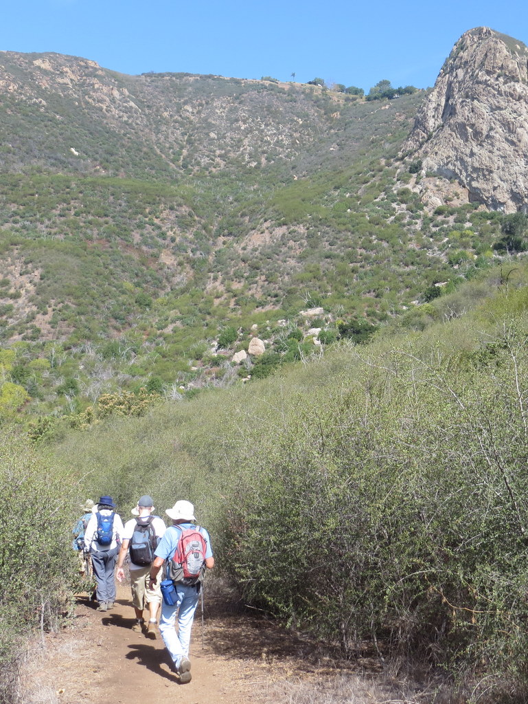
9 hikers traveled to Triunfo Pass (2,100′) in the Santa Monica Mountains (SMM) on a warm fall morning. The clockwise loop hike began on the Mishe Mokwa Trail but we quickly took a connector trail over to the Sandstone Peak Trail, a portion of the SMM Backbone Trail (BBT). The trail climbed steadily upward to a junction with a spur trail leading to Sandstone Peak, gaining 930′ in the process; after gaining an additional 150′ on the spur trail we reached the summit of Sandstone Peak (3,111′) aka Mt. Allen, the highest peak in the Santa Monica Mountains. The peak is just a hunk of grayish-white rock, but it provides a stunning 360-degree view (depending on the air quality) of the ocean, the mountains, and the Oxnard Plain. Visibility was fairly good on this day and an ocean breeze mitigated the rising air temperature. After enjoying the view and returning to the BBT we continued on to its junction with the western end of the Mishe Mokwa Trail which we followed as it descended to the shady Split Rock picnic area in Carlisle Canyon. After taking a leisurely break, we followed the Mishe Mokwa Trail back to the parking lot, enjoying excellent views of the reddish-colored Echo Cliffs (a long stretch of sheer vertical sandstone rock faces) against the green side of Boney Mountain, and Balanced Rock, a huge house-sized boulder precariously balancing atop a smaller boulder. We headed home having completed a pleasant 6.6-mile hike with ~1,550′ of elevation gain/loss.
November 1st – Las Llajas Canyon, Rocky Peak Fire Road, Chumash Trail
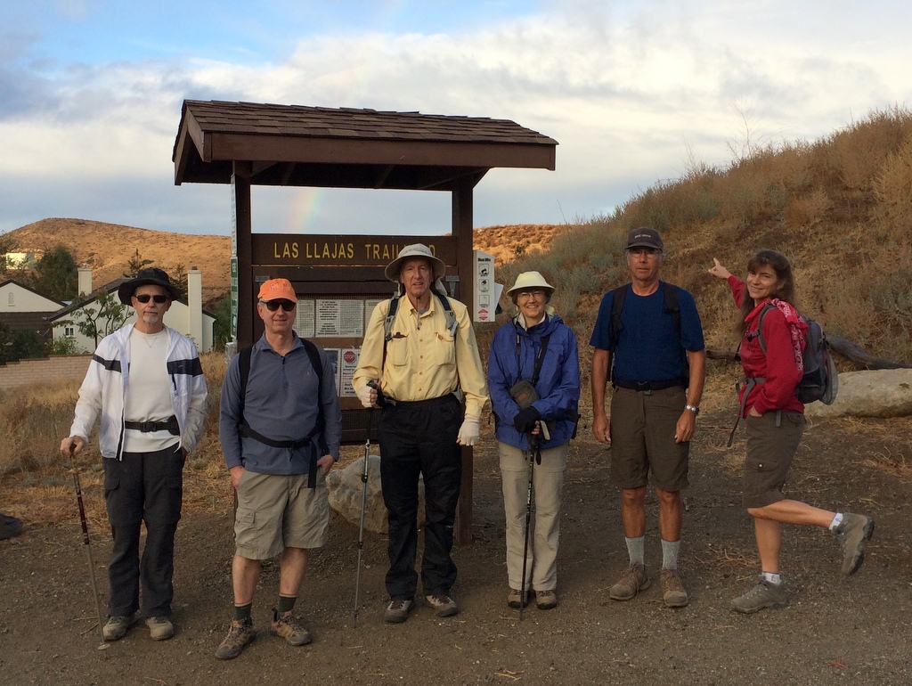
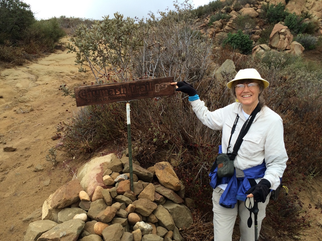
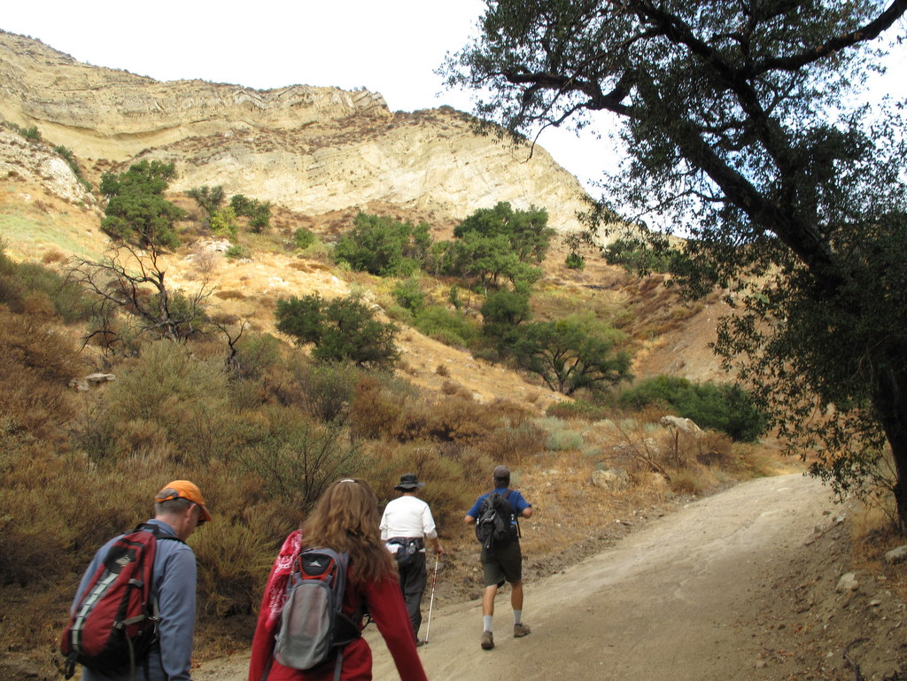
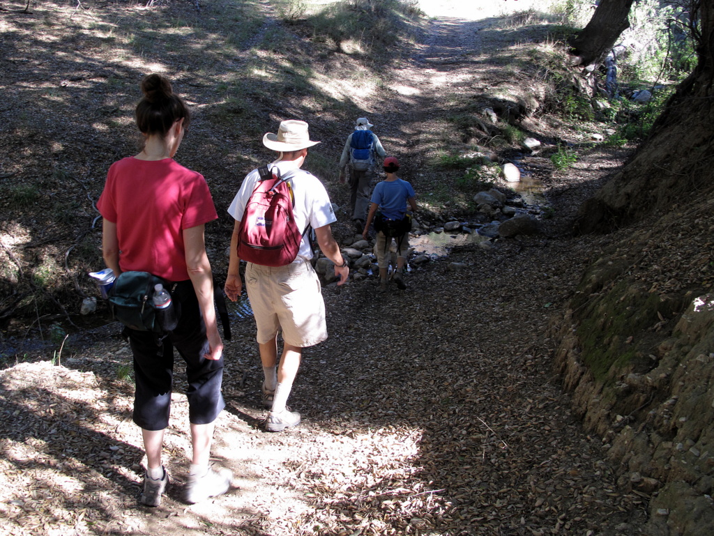
7 hikers met at the Las Llajas Canyon trailhead on Evening Sky Drive in Simi Valley on a cool autumn morning just minutes after the first rainstorm in months ended. The hike began by descending a short paved section of road into the canyon bottom; from there a wide graded dirt road followed a stream north through the canyon, crossing the stream bed three times; the stream actually had some water in it! The steep canyon walls provided shade as we enjoyed an easy 3.5 mile trek up the canyon with minimal mud. The foliage glistened thanks to several months of dust having been washed off by the rainstorm. Nearing the Poe Ranch gate, we took the right (east) fork and continued up the dirt road leading to an abandoned oil field and then on up to a junction with the Rocky Peak Fire Road, savoring the views along the way. After reaching the Rocky Peak Fire Road, we turned right and headed south toward the upper end of the Chumash Trail. Along the way we passed Fossil Hill (named for the shells of sea creatures left behind when the area was under a vast sea). We enjoyed the panoramic views of mountains and canyons to the east, south, and west. Upon reaching the upper end of the Chumash Trail with its “Chumash Trail 2.7 miles to Flanagan Drive trailhead” sign, we stopped briefly before rapidly descending the familiar trail into Simi Valley. We then turned right (west) and followed a short trail to a closed-but-not-locked gate in a fence at the east end of Evening Sky Drive. A short walk along Evening Sky Drive took us back to our vehicles, having completed a very pleasant 9.6 mile hike with 1,804′ of elevation gain.
October 25th – Work Party – Wild Animal Corridor – Cache In Trash Out Event
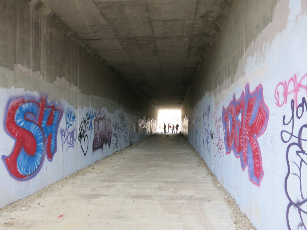
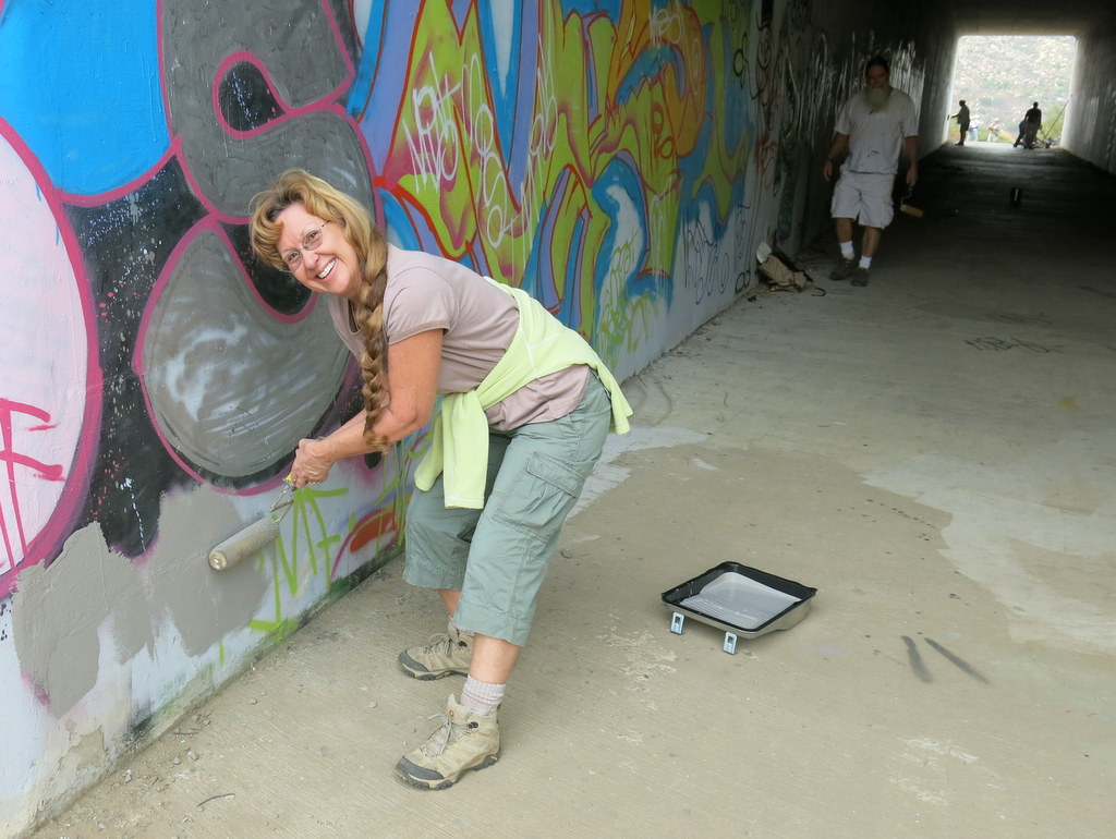
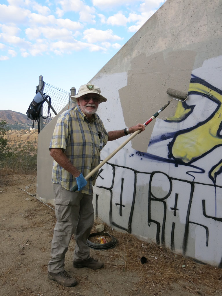

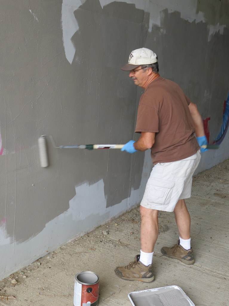
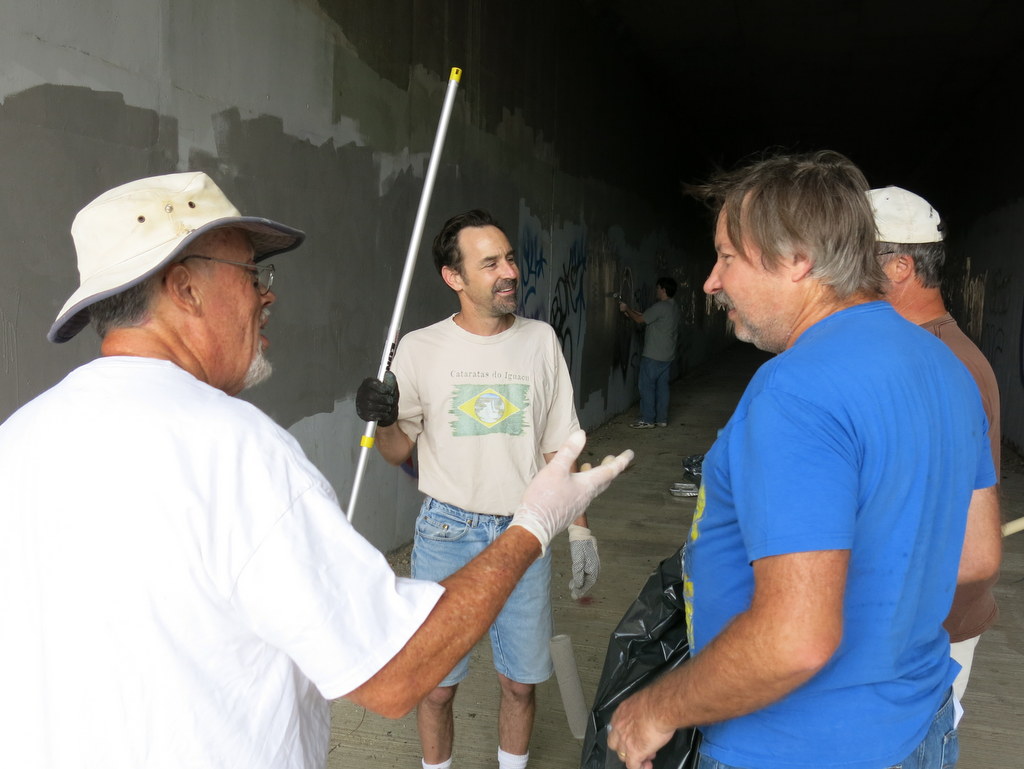
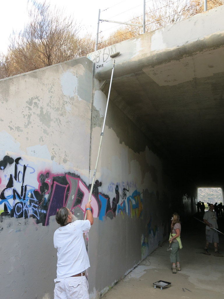
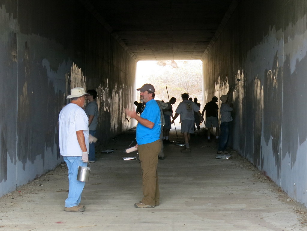
At total of 18 Trail Blazers and local geocachers met in Corriganville at 8 AM this morning. The work party goal was to paint over the graffiti on the Wildlife Corridor and pick up trash in the area. The RSRPD provided everything we needed to get the job done, including paint, gloves, rollers, extensions, and garbage bags. We finished the job in record time this year. The Corridor is once again clean slate. We carried down four large filled large bags and what looked like part of a baby crib, that must have fallen out of a truck on the freeway. Since we finished so quickly, there was ample time to socialize and find some nearby geocaches. Who knew work could be so much fun? We’ll do it all again next October.
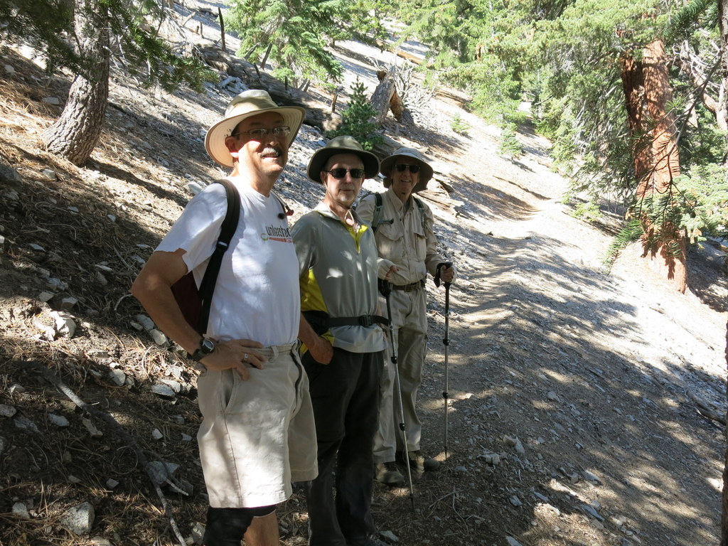
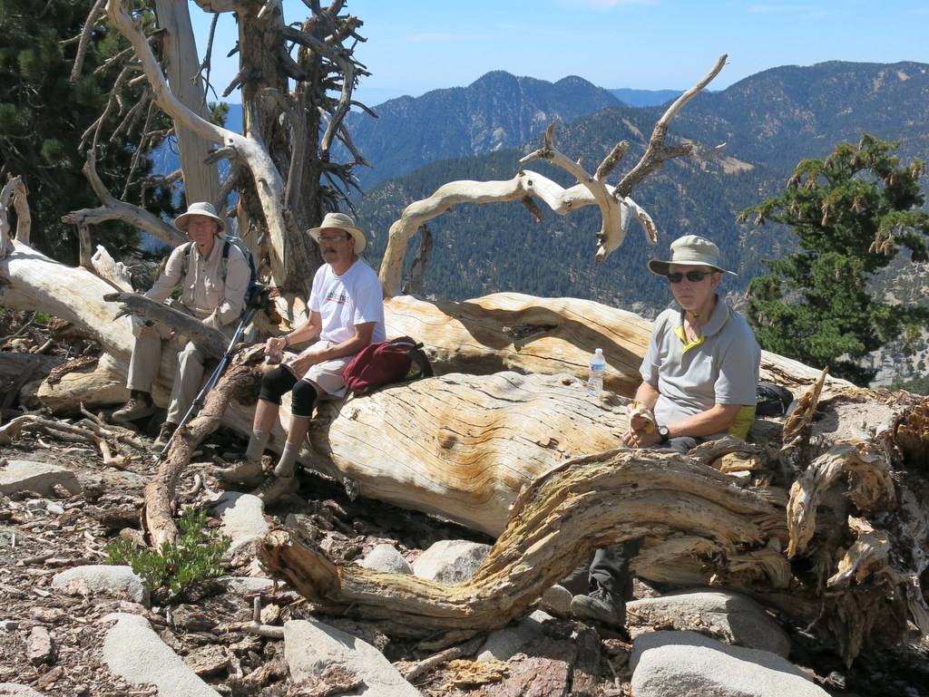
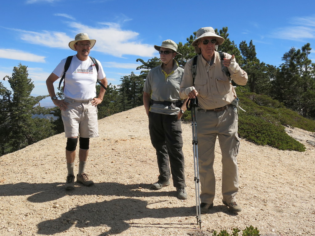
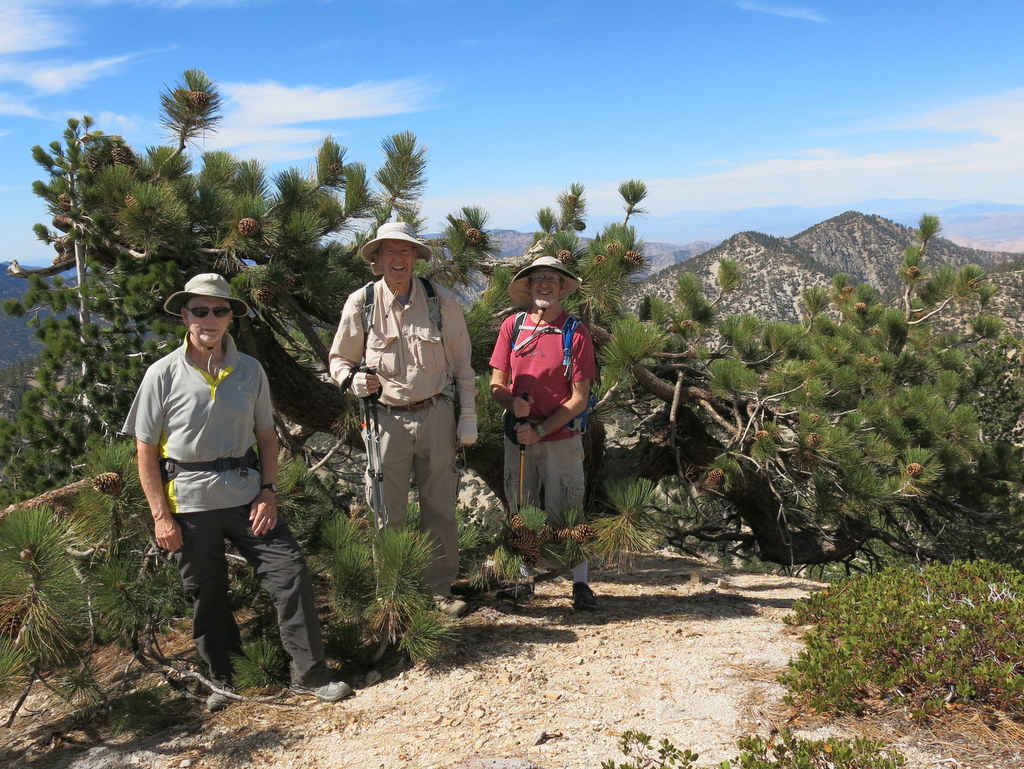
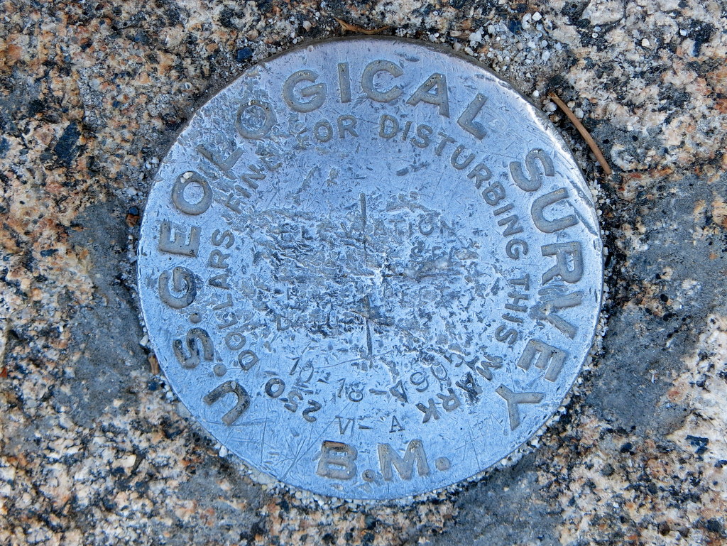
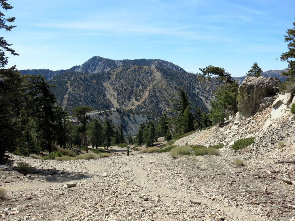
October 18th – San Gabriel Peak from Mt. Disappointment Road
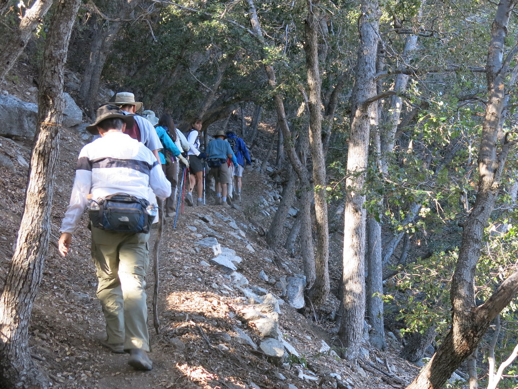
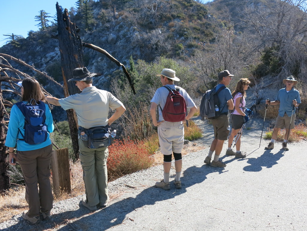
12 hikers met at at the Stearns Street Park & Ride and carpooled to the trailhead. At the intersection of Highway 2 and Mt. Wilson Red Box Road, we picked up a thirteenth hiker. It was a clear, cool, and still morning. The heavily forested single-track trail, up the to the summit of Mt. Disappointment, quickly gained elevation. It was quite a relief to finally reach the intersection of the gated Mt. Disappointment Road. From there it was a short, and not so steep hike, to top of our first peak, Mt. Disappointment (5,963′). Back in 1875, USGS Surveyors were in the Simi Valley hills, looking for a high point in the San Gabriel Mountains to triangulate. They spotted a then unnamed peak, made the first recorded climb up to it, and discovered that nearby San Gabriel Peak was, in fact, the higher peak. The peak was named after their “disappointment.” Next in our peak-bagging adventure came San Gabriel Peak (6,161′). San Gabriel Peak is second only to Strawberry Peak (6,164′) in elevation among the front-range summits. Our third and last peak of the day, was Mt. Lowe (5,603′), named for Professor Thaddeus S.C. Lowe, who in 896, built the Mount Lowe Railway almost to the summit. All three peaks provided us with beautiful and expansive views. There’s something very special about taking the time to look out over the distance. The group agreed that we did not want to retrace our steps, adding a lot more elevation gain, just to come back down the Mt. Disappointment trail. Instead we took the connector fire road, from the Markham Saddle, through the Mueller Tunnel, and then down to the paved Mt. Wilson Red Box Road. The next time we do this hike, we might do well to make this our starting point, and do the loop in reverse. In all, we hiked about 8.5 miles, with 2,100′ of total elevation gain. It was a most successful “exploratory” hike.
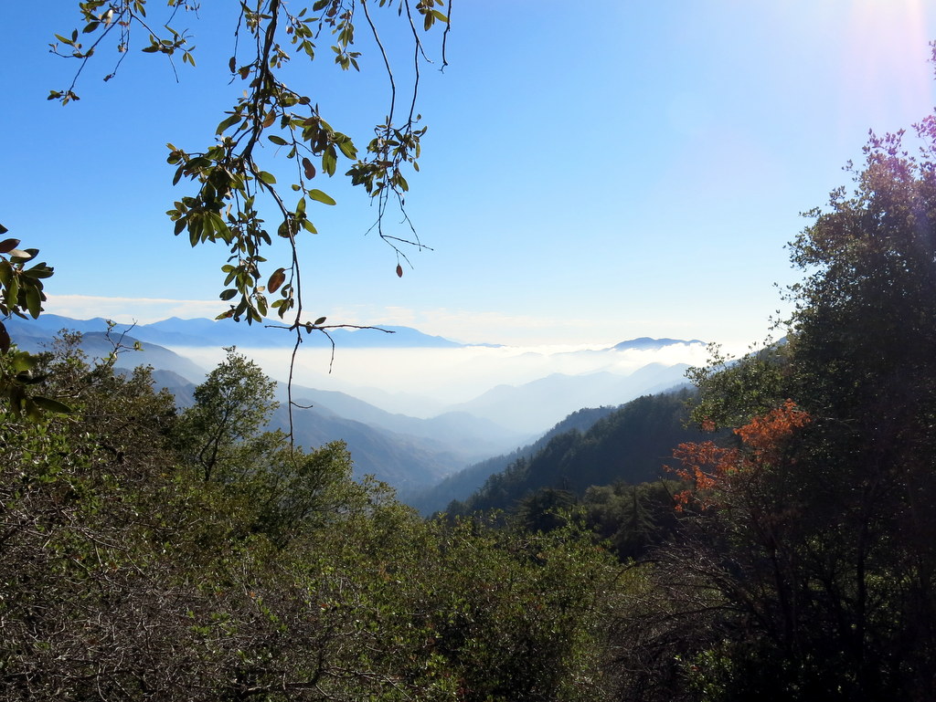
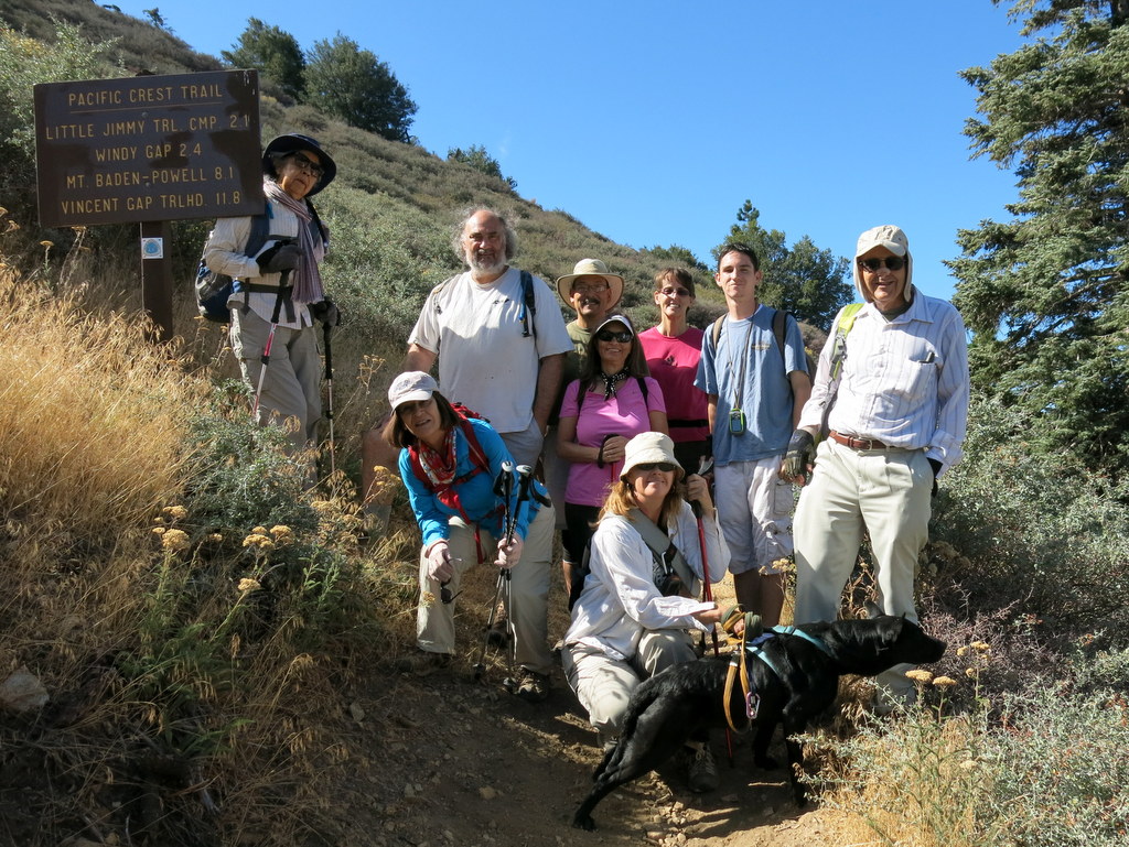
October 12th – Devil’s Punchbowl Trail to Devil’s Chair

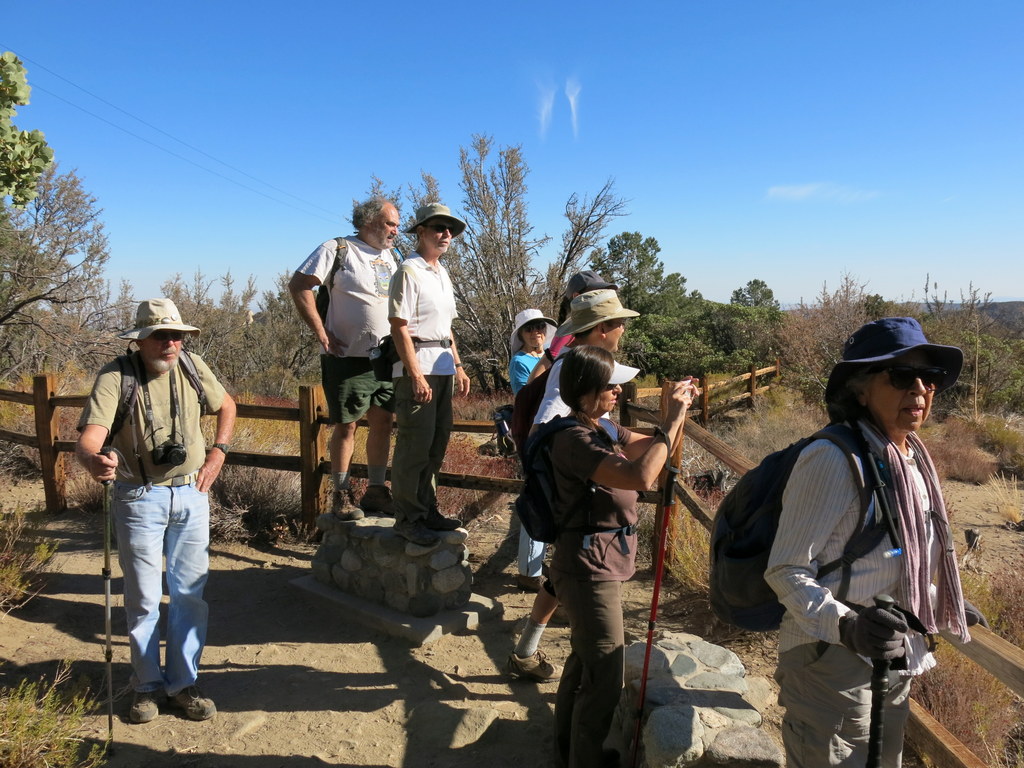
Nine joyful hikers met at the Stearns Street Park & Ride and carpooled to the trailhead, located at the Devil’s Punchbowl Natural Area above Palmdale. The Punchbowl itself is situated at the intersection of two major earthquake faults, forming the San Andreas Rift Zone, so it is also the site of some very spectacular geological formations. The trail from the visitor center meets the Pacific Crest Trail, called at the Burkhart Trail junction, about a mile up the hill. The trail also traverses a beautiful pine forest and offers expansive views of the Antelope Valley to the north. It was a clear and warm day and the mercury stopped just short of 80 degrees. On October 10th, President Obama designated a good portion of the San Gabriel Mountains as the San Gabriel Mountains National Monument. The Punchbowl area is within the northern slopes of the San Gabriel Mountains, so it is now part of the new Monument. All in all, we hiked 8 miles, with about 1,600′ of total elevation gain. Everyone agreed it was a most enjoyable hike.
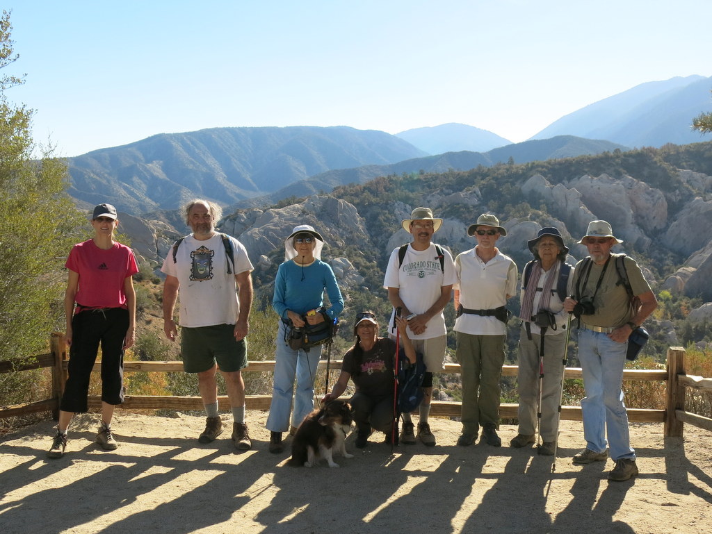
October 4th – Mt. Williamson from Islip Saddle via Angeles Crest Highway
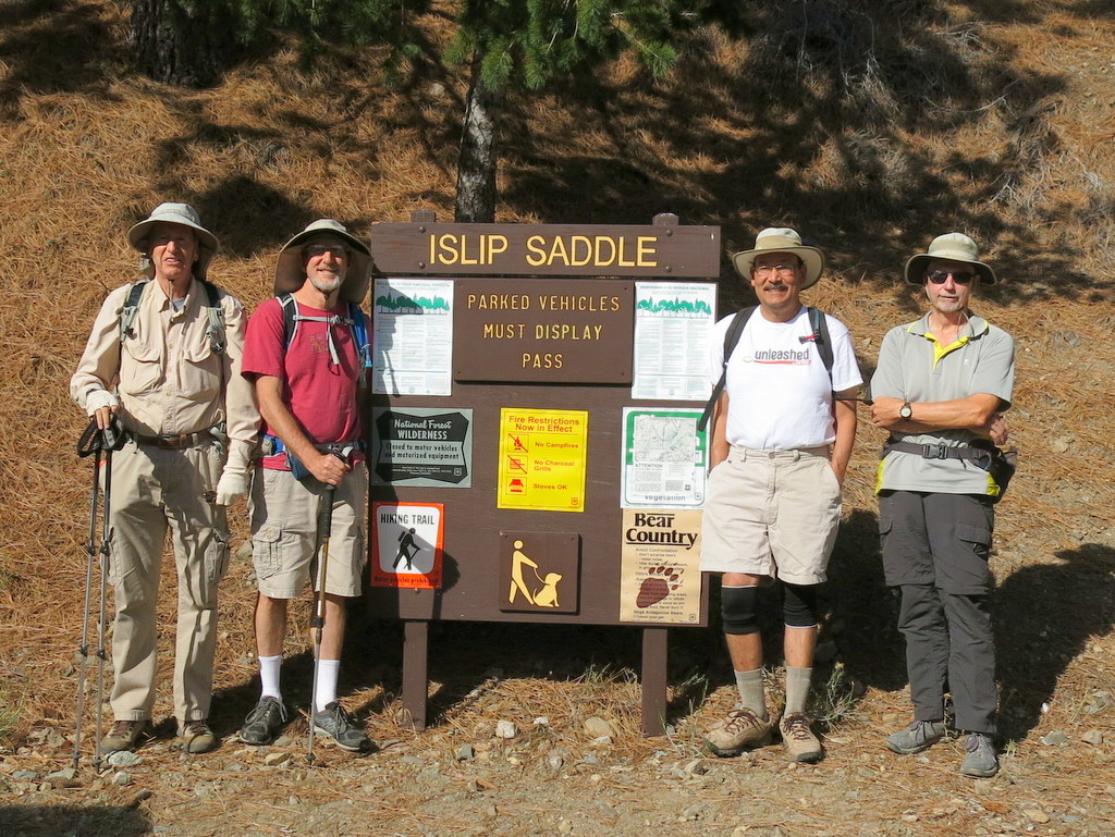
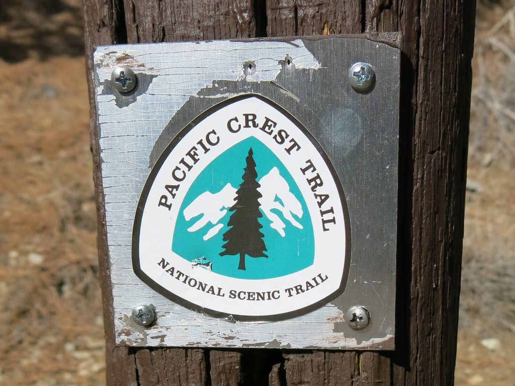
On a day when the temperature in Simi Valley was forecast to reach 104 degrees Fahrenheit, four hikers carpooled to Islip Saddle in the much-cooler San Gabriel Mountains [Angeles National Forest]. The trailhead temperature was 70 degrees as our hike began along the Pacific Crest Trail (PCT) from the Islip Saddle parking lot (6,670′). The trail entered a pine-scented forest as it climbed steadily up Mt. Williamson to the northwest. After nearly two miles of pleasant hiking (including cool breezes) we reached the official peak (8,214′) of the mountain, an open area that afforded views of the surrounding mountains and the Antelope Valley. We then continued our hike along the Pleasant View Ridge, crossing two other “peaks” on Mt. Williamson, until we reached the ridge’s end where we enjoyed another spectacular view of the surrounding area. We retraced our route to the parking lot and returned home to the scalding 104-degree high temperature that had been forecast, happy to have enjoyed an almost-perfect hike with temperatures in the 70’s throughout the hike, having completed a 5.8-mile hike with 1,947′ of elevation gain/loss.
September 27th – Arroyo Simi Bike Path Ride – Madera Road to Ralston Street
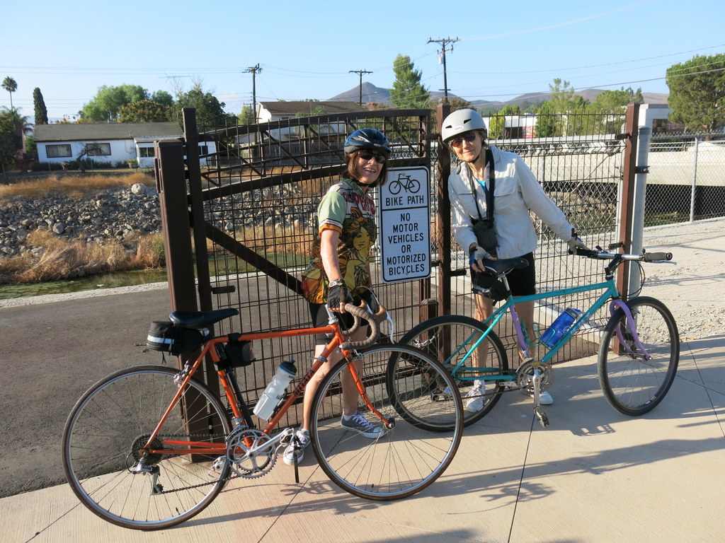
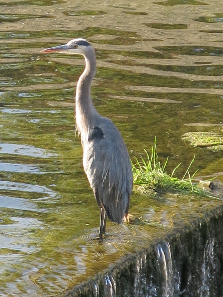
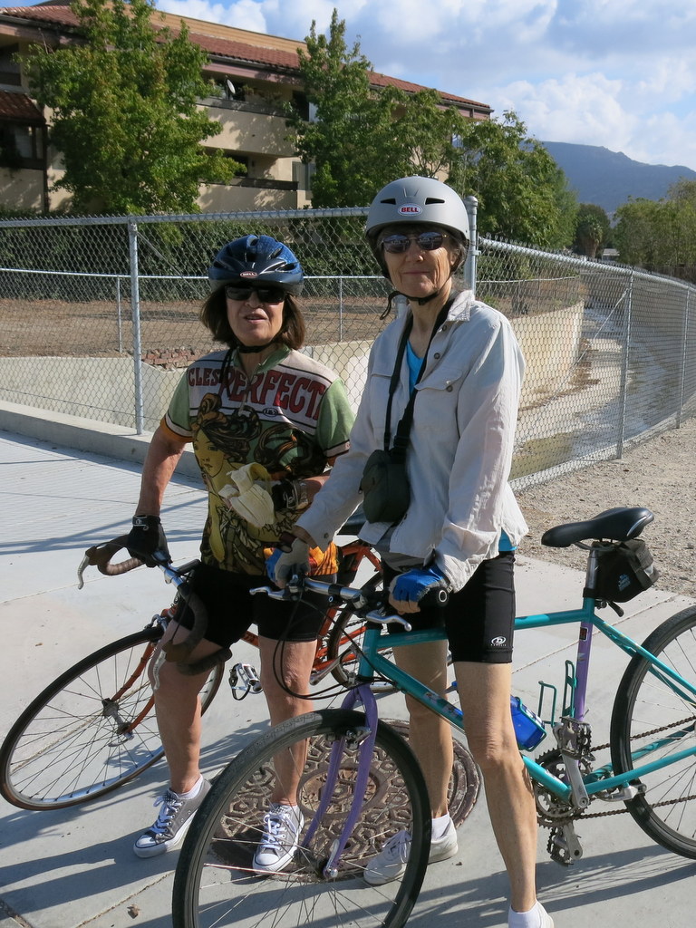
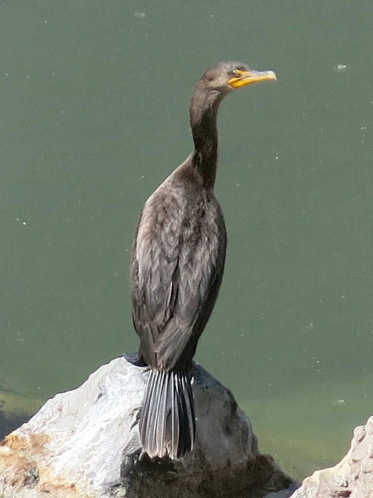
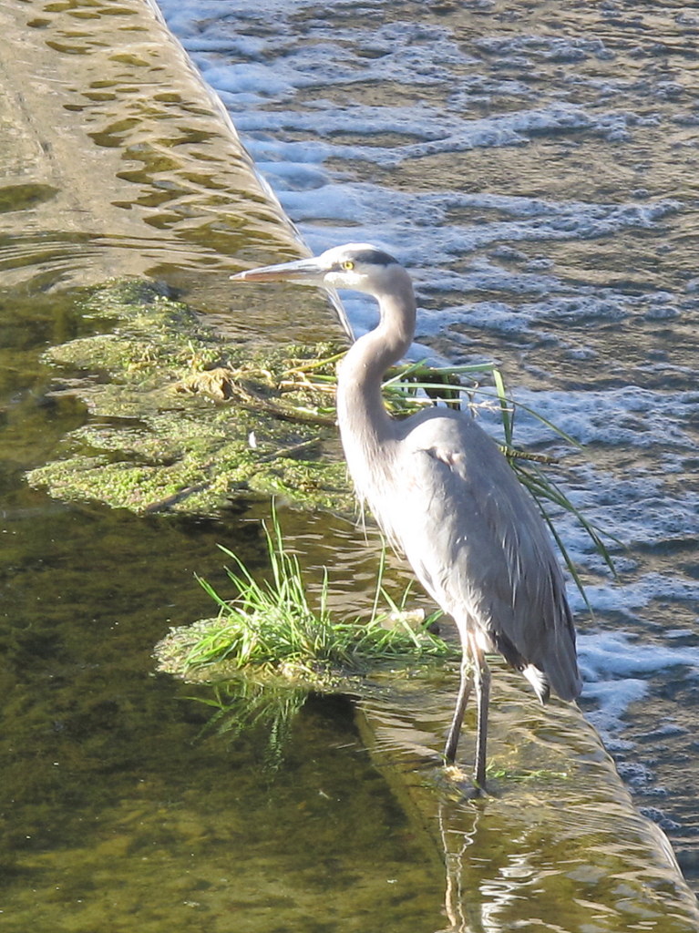
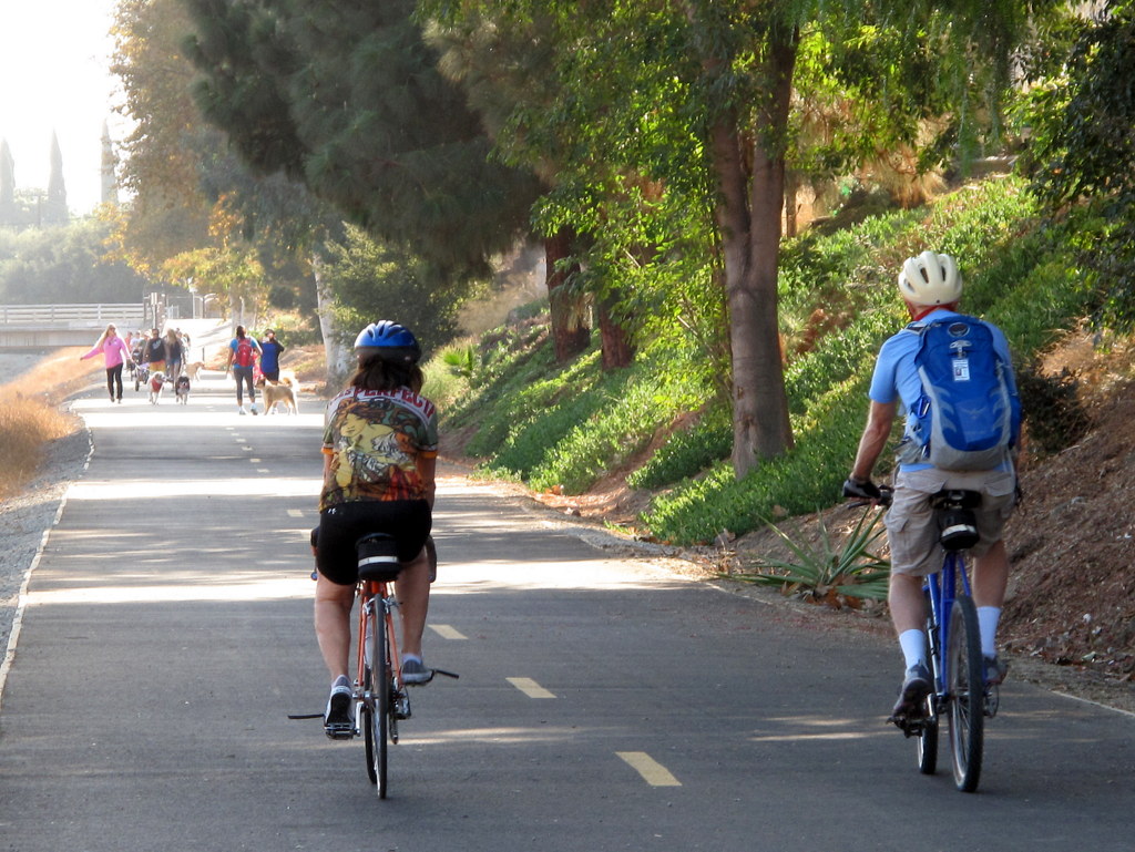
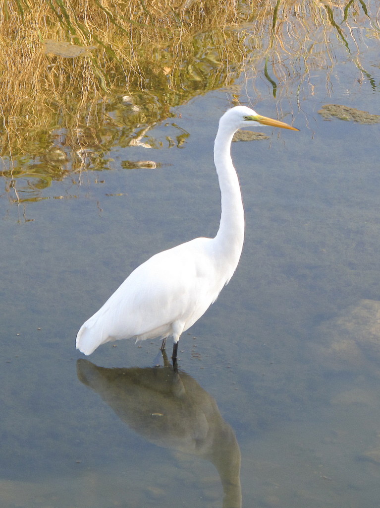
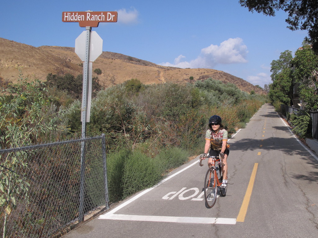
It was one of those beautiful September mornings, where the scattered clouds painted a magic patchwork in the sky. Waterater foul species were plentiful in the Arroyo, especially at the western end. We saw two different Great Blue Herons, dozens of egrets, and a multitude of mallards, coots and grebes. Under our drought conditions, many parts of the Arrory were dry, but there was still sufficient water to support a struggling ecosystem The previous time we rode the Arroyo, we didn’t go quite as far. Thanks to Betty, we were able to extend the ride a few miles further. Upon returning to our cars, we completed exactly 16 miles, with about 350′ of total elevation gain and loss. It was a shame we didn’t have more participants. The ride was a great change of pace.
September 20th – Long Canyon, Oak Canyon, Montgomery Canyon, Challenger Park, Canyon View Trail Loop
15 hikers gathered at the Long Canyon Trail trailhead parking lot at Wood Ranch in Simi Valley on a mild end-of-summer morning. We began hiking the Long Canyon trail as it climbed steeply 0.7 mile to a trail junction atop a ridge overlooking western Simi Valley to the north as well as the Lang Ranch Open Space to the south. We then followed a “use” trail down to the dirt road in Oak Canyon while enjoying views of the surrounding mountain slopes. After a short break we headed eastward up a dirt connector road to a ridge that provided nice views of western Simi Valley. We continued along the dirt road as it dropped into Montgomery Canyon and headed toward Long Canyon Road. We then followed a couple of trails over to Challenger Park which was unusually vacant. After crossing Long Canyon Road and following an equestrian trail for a while we climbed steeply up the Canyon View Trail which provided views of the surrounding area including Bard Reservoir and followed it as it undulated along a ridgeline back to the trailhead parking lot, completing a 7.3-mile loop hike with 1,665′ of elevation gain/loss on a pleasant day for hiking (thanks to the marine layer).
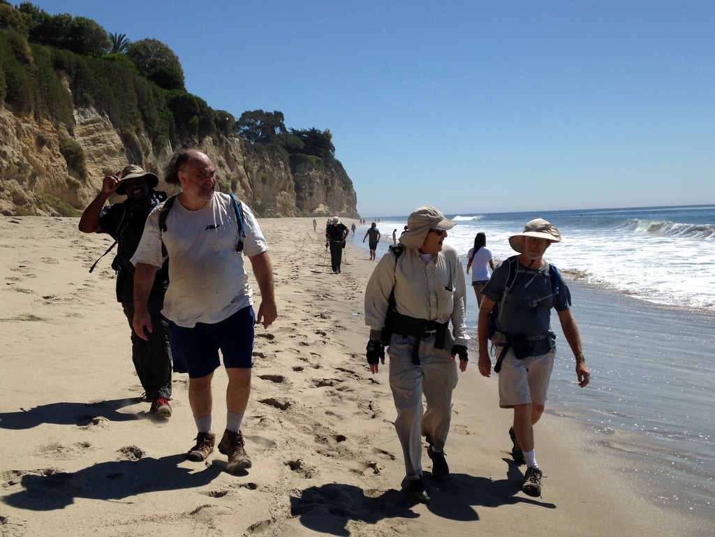
September 14th – Nicholas Flat Trail to Nicholas Pond
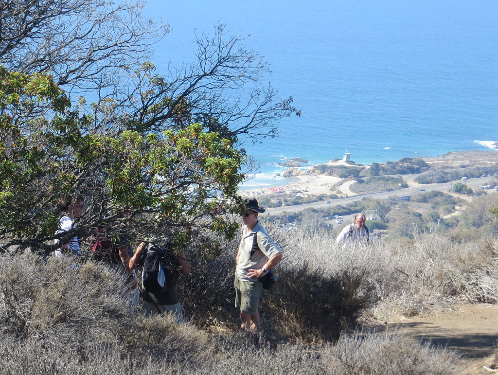
Seven hikers met on an already warm Saturday morning in Simi Valley to car pool to the Nicholas Flat Trail trailhead in Leo Carrillo State Park in Malibu. We had a pleasant drive through the Santa Monica Mountains via Hwy 23 to Pacific Coast Highway (Hwy 1) where we encountered limited access to the highway due to bicycle riders engaged in a sanctioned “marathon” race. Even near the ocean the morning temperature was unusually high. The hike began with a steady, fairly steep, ascent as the trail gained around 1,600′ in about 2.5 miles. Except for a group of trail maintenance workers, we had the trail to ourselves. As the air temperature quickly increased we soon felt its debilitating effect, but we decided to continue the hike. The usual ocean views were obscured by cloud cover just offshore. The effects of the ongoing drought on the mountainside foliage was shockingly evident. Eventually we crested the mountain, descended through a large meadow, and followed the trail down to Nicholas Pond which for the first time was completely dry. After taking a rest/lunch break in the shade next to the former pond, we returned the way we had come, suffering from what had become a scorcher of a day. Our unpleasant hike covered 7.8 miles with a total elevation gain/loss of nearly 2,200′.
September 6th – Mt. Islip
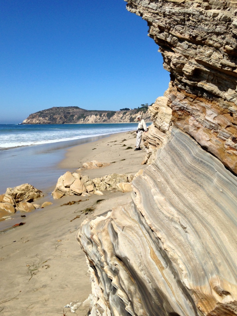
August 30th – Carpinteria Bluffs, Tar Pits Park, and Bates Beach
Nine Trail Blazers met at Donut Delite on a still cool morning. Today was our day to beat the heat in Simi Valley and the promnise of a beach hike was just the ticket. When we arrived at the trailhead was indeed cool, but also foggy. There we added another hiker to the group and began our hike following the rail road tracks. The thick fog obscured the usual grand beach views from the bluffs, but as the morning progressed, our views were gradually restored. Not a single seal was seen from the the Harbor Seal Preserve, or anywhere else along the bluffs. We did see two bobbing seal heads, just past the surf, when we arrived at the far western side of Carpinteria State Beach. Most of the group continued from there, walking on the beach, past all the campgrounds, and then turned around at the rocks that form the far eastern end of the harbor breakwater. We returned, retracing our steps, taking a detour through Tar Pit Park, following the beach below the bluffs back to our cars. In total, we hiked just over 7 miles, with a very gentle 300′ total elevation gain. We did in fact beat the heat. It was close to 20 degrees warmer back at home.
August 23rd – Mt. Pinos to Sheep Camp
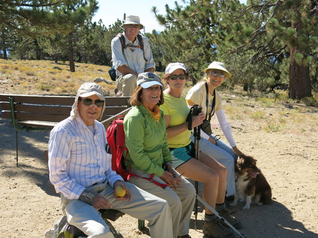
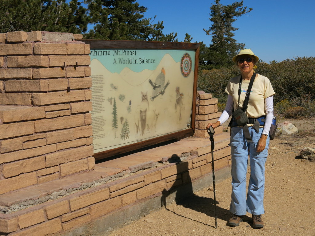
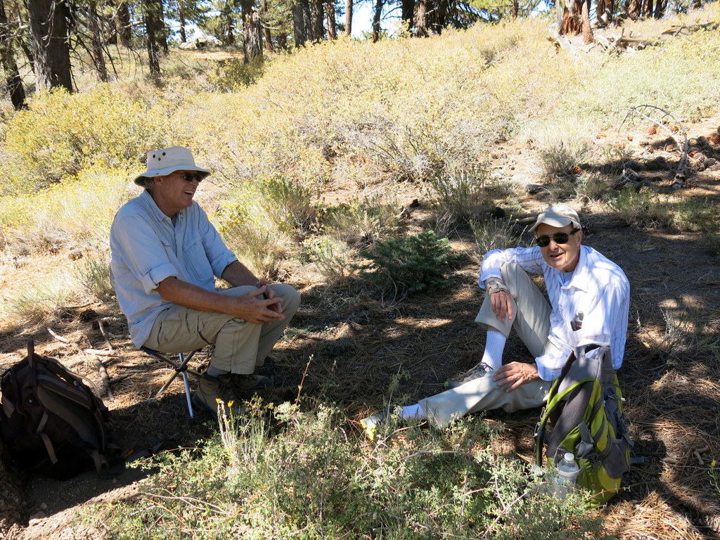
Seven sleepy Trail Blazers, met at the Stearns St. Park & Ride, a whole hour earlier than usual. We’ve done this hike, several times in the past, and it has always proven to be an all-day event. The hike itself is arguably one of the very best hikes in Ventura County. Spectacular views can be had just two miles in from the trail head at Mt. Pinos, at the highest point in all the Los Padres Mountain Range. The air is thin at 8,847′, but no one seemed to notice. The expansive views of the southern Central Valley, the southernmost Sierra Nevada, much of northern Ventura county, much of the Santa Barbara County mountains, the Caliente Range and the Carrizo Plain are so delightfully overwhelming. Along the way, we spent some time enjoying the summit views, then descended down to the saddle between Pt. Pinos and Sawmill Mountain, and finally on to Sheep Camp. Sheep Camp is a primitive backwoods camp, with a spring that runs all year. This time around, barely a few drops came from it’s pipe. We later learned that a dead squirrel plugged up the works ahead of the pipe. The weather was unseasonably cool. When we started the hike, it was only 61 degrees. When we returned to the trailhead, it was 72 degrees. Perfect hiking weather. In all, our hike was 10.5 miles, with about 2,000′ of total elevation gain.
August 17th – Westward Beach to Paradise Cove
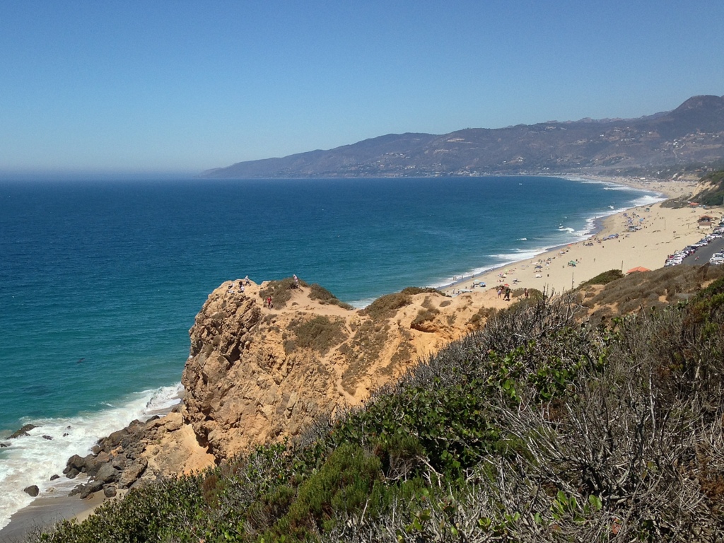
Eight hikers met at Donut Delight and carpooled to the end of Westward Beach Road in Malibu. There were no empty parking sports near our trailhead, so we had to park some distance away. Along the way, we found an orphan hiker, from a Los Angeles hiking group, who never found his intended trailhead. We gladly adopted him. Jeremy proved to be fine addition to our group. It was a perfect day, with cool temperatures and relatively clear skies. The tide was quite low, even on our return from Paradise Cove, so none of us got our feet wet. This allowed us to spend all the time we wished relaxing at Paradise Cove. The beach had an unusual treat for us. There were a good number of some very unusual of sea creatures called Velella. They are also known by other names, such as sea raft, by-the-wind sailor, purple sail, and little sail. They are most bizarre and fascinating creatures. On our return trip, we visited the overlook just below and south of the top of Pt. Dume. A plethora of seal lions were on the rocks far below us. Next, we spent a short time at the top, enjoying the expansive view up and down the coast. Having returned to our cars, the GPS confirmed that we hiked almost exactly 7 miles, with 420′ of elevation gain. What a wonderful way to beat the heat back at home.
July 26th – Newton Canyon
Eight intrepid hikers met at the Donut Delite trailhead and carpooled to the Newton Canyon Trailhead on Kanan Road. The Newton Canon trail follows a segment of the Backbone Trail and is know for its extensive riparian canopy. It is the shade, provided by this canopy, that make this hike a good choice in the hot Summer months. A quick check with NOAA indicated that the forecast trailhead temperature, at the end our our hike, should be about 85 degrees. Humidity was very high, so the comfort window was short. Turns out, NOAA’s forecast was spot on. It was indeed 85 degrees when we returned to our cars at the trailhead. The drought thinned out our canopy a bit, and the trail was dustier than in past years. There were no wildflowers in evidence, except for the very hardy and ever present California Buckwheat, and a few examples of Cliff Aster and Wand Chicory. The car AC felt very good, having completed just over 7.5 miles, with just under 1,700′ of total elevation gain.
July 12th – Solstice Canyon – Sostomo Trail – Deer Valley Loop + Tropical Terrace
8 hikers carpooled to Solstice Canyon in the Santa Monica Mountains National Recreation Area on a pleasant summer morning. The out-and-back hike began by following nearly dry Solstice Creek along the easy well-shaded Solstice Canyon Trail (a dirt road), taking advantage of two short trails paralleling the dirt road along the way, and reaching the Sostomo Trail after about one mile. We followed the Sostomo Trail as it climbed steadily toward a junction with the Deer Valley Loop Trail as the day grew warmer. As the trail rose we had good views of Solstice Canyon and the Rising Sun Trail across the canyon. After reaching Deer Valley, we followed the loop trail in a clockwise direction as it ascended the mountainside to an overlook of the Pacific Ocean. As we neared the overlook a much-appreciated marine layer cooled us off (but obscured our view of the ocean). After a short break we completed the loop and then returned along the Sostomo Trail to the Solstice Canyon Trail. Turning left we walked a short distance to Tropical Terrace, the ruins of the Roberts house built in the 1950s and destroyed by wildfire in 1982. At one time there were giraffes, camels, buffalo, African deer, and exotic birds in the canyon. We took a break at Tropical Terrace and enjoyed the ambiance of palm trees and drought-deprived waterfalls in the adjacent Solstice Creek. We then returned to our vehicles via the Solstice Canyon Trail having completed a 7.2-mile hike with over 1,600′ of elevation gain/loss.
July 6th – Mt. McCoy to the Reagan Library
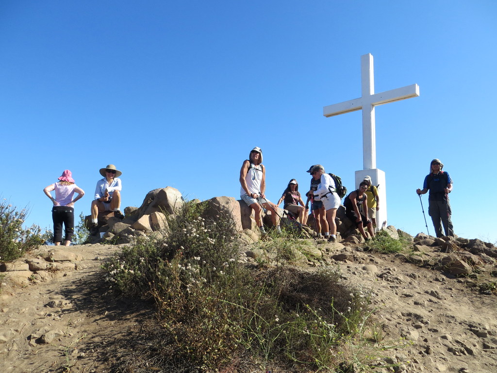
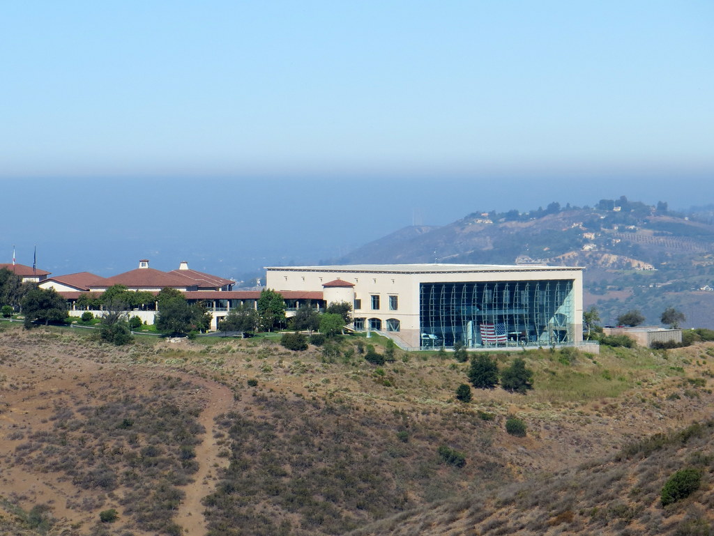
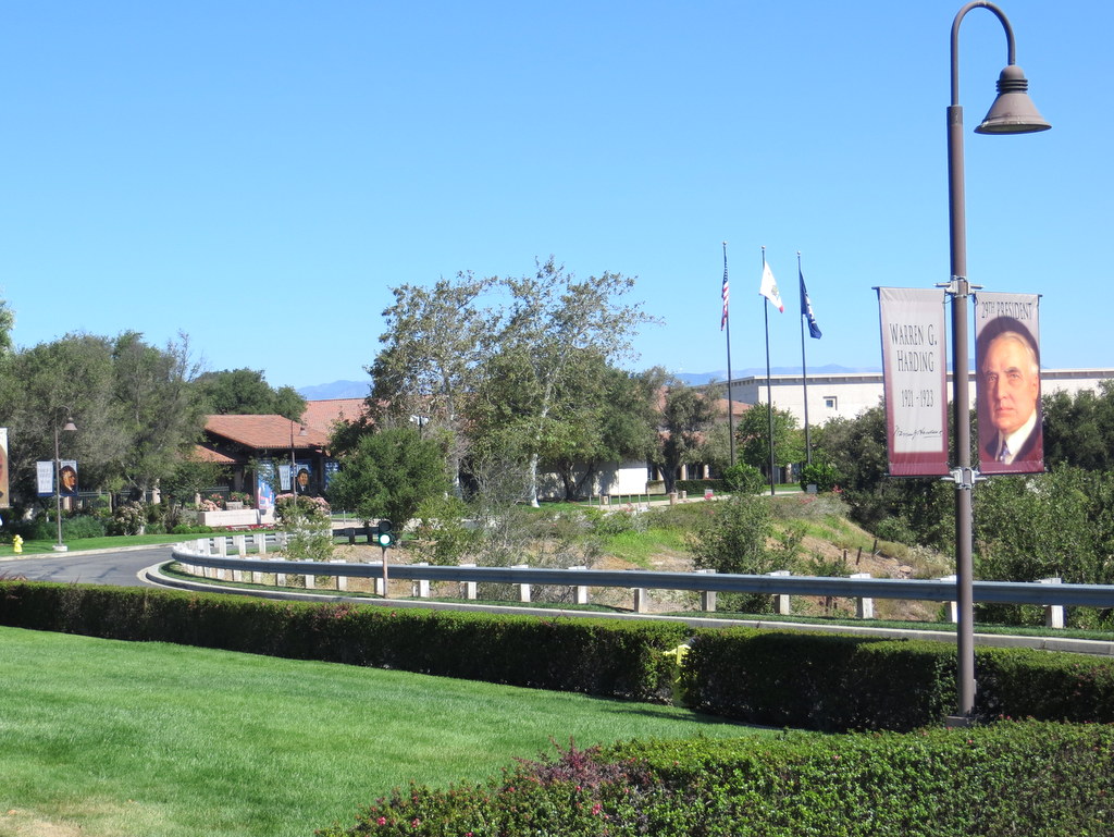
16 hikers met at the carpool point near the intersection of Royal Avenue and Madera Road on an already warm morning and then (since trailhead parking is quite limited) walked from there to the Mt. McCoy trailhead on Washburn Street a few blocks to the west. The hike began along the trail heading south but it quickly began climbing gradually westward along the well-maintained (but frequently “cut” by bicycle riders) trail leading to the summit via a series of switchbacks. As the trail rose up the mountainside, we were rewarded with excellent views of the western end of Simi Valley, including Sinaloa Lake, Wood Ranch, and the Bard Reservoir. There is a white concrete cross (erected in 1941) as well as two concrete benches at the summit, from which the Ronald Reagan Presidential Library can be seen. After a short break to enjoy the panoramic view, we hiked southwest to Presidential Drive and then hiked along it to the west side of the library where President Reagan was buried in 2004. The setting of the library is quite beautiful. We sat in the shade on the patio and enjoyed a cool breeze for a while. Eventually we returned the way we came completing a 6-mile hike with 900′ of elevation gain/loss, glad that the return trip was mostly downhill since the day had heated up considerably.
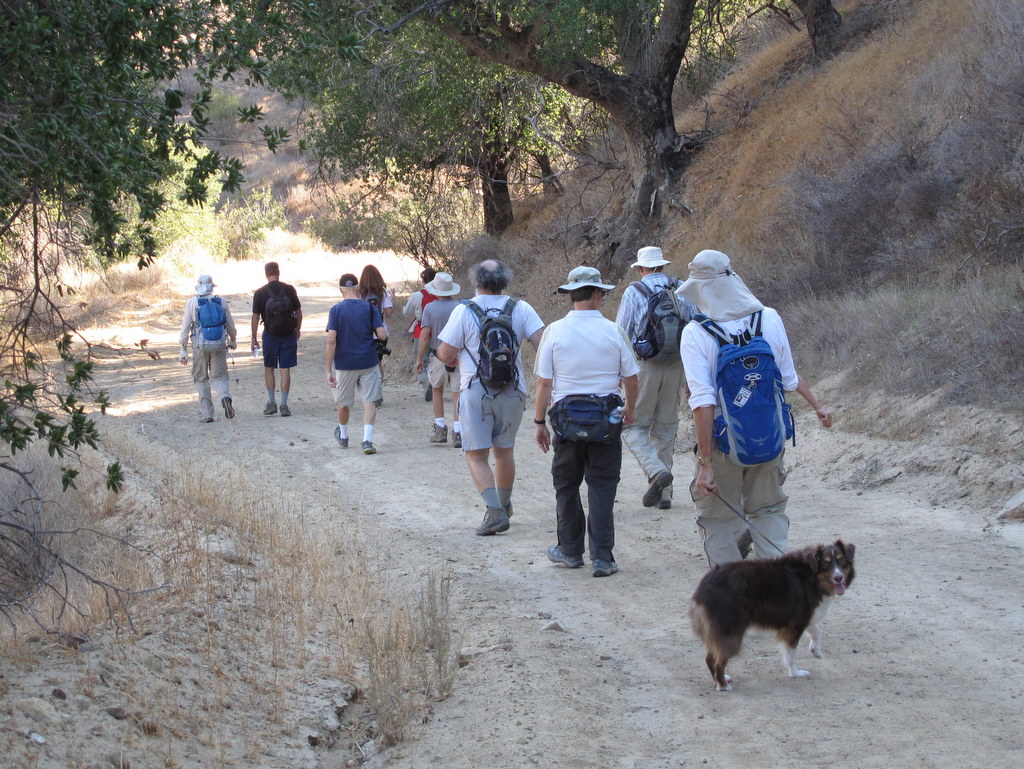
June 28th – Danielson Memorial via the Fossil Trail
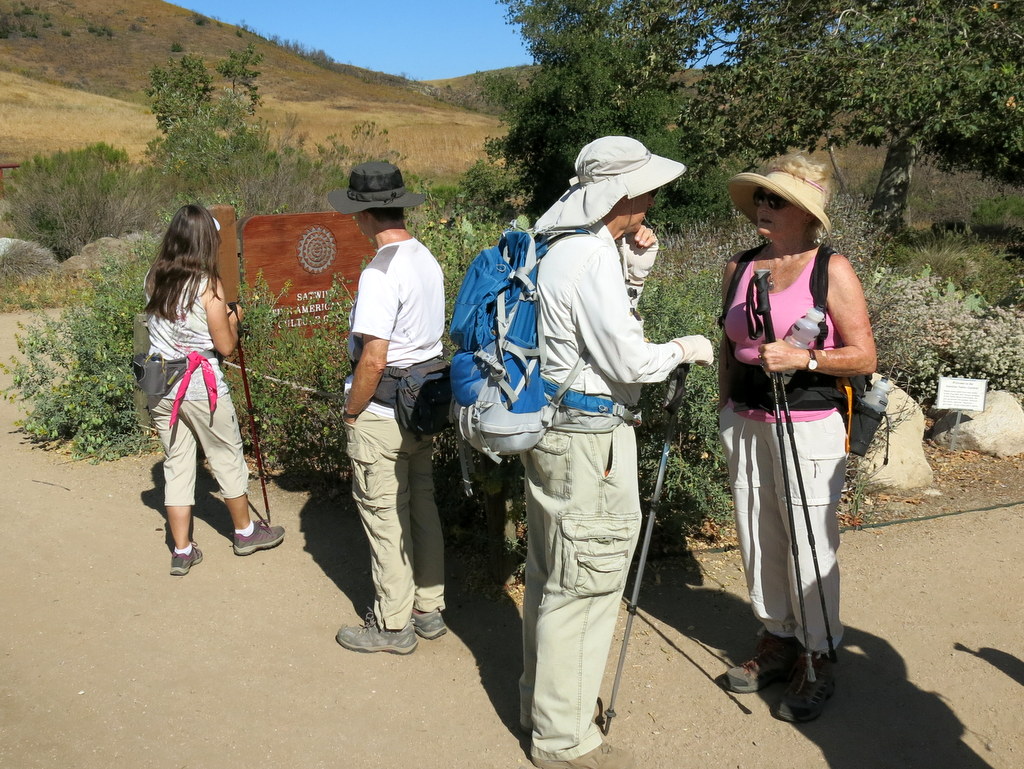
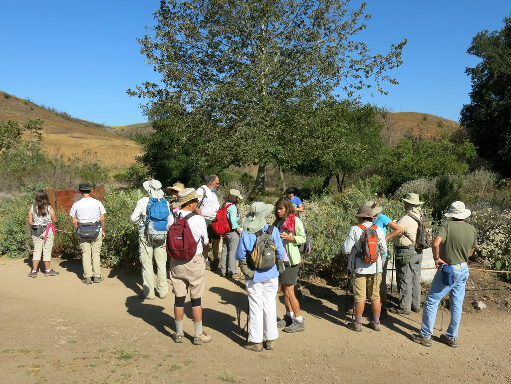
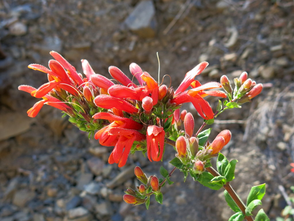
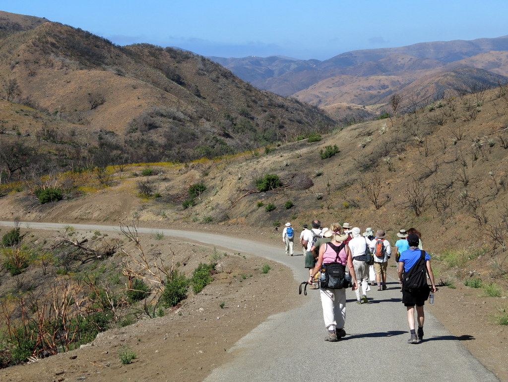
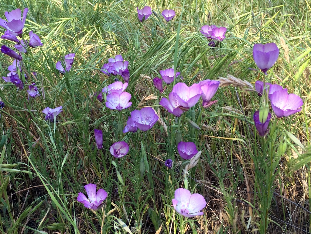
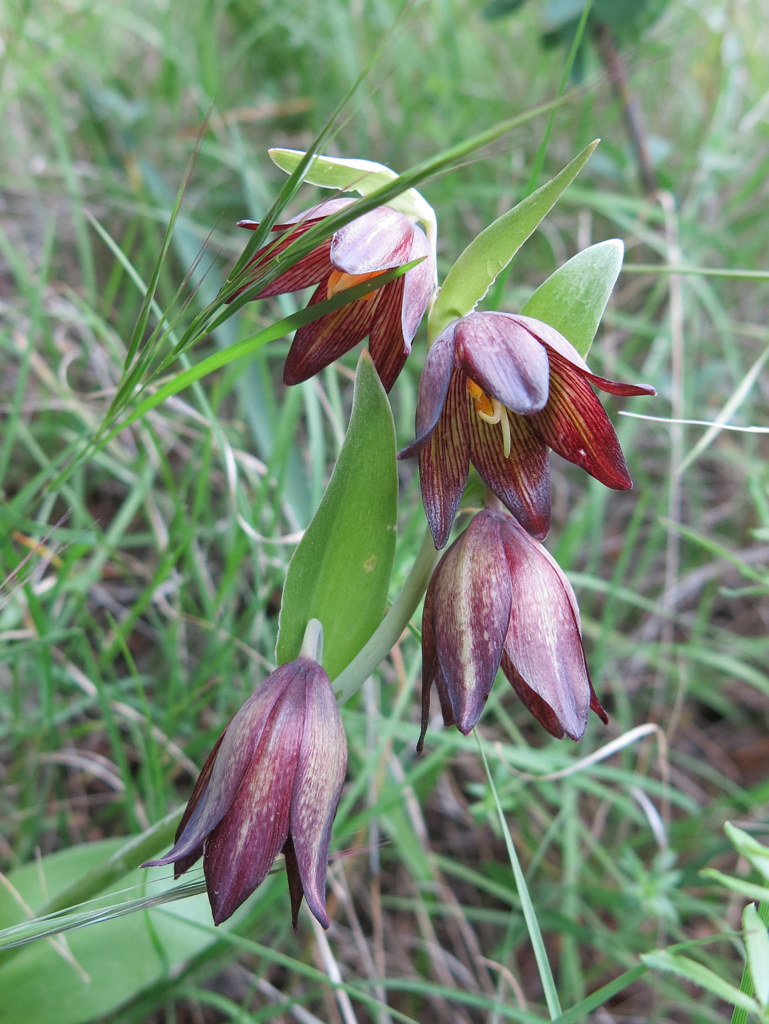
18 hikers gathered at the Wendy Trail trailhead at the south end of Wendy Drive in Newbury Park on a pleasant early-summer morning. Our Santa-Monica-Mountains outing began as we hiked over to the Satwiwa Native American Indian Culture Center in Rancho Sierra Vista. After a brief stop we headed south as the paved upper section of Sycamore Canyon Road descended into the canyon. Immediately after crossing the bridge in the canyon bottom, we left the road [and the bicycle riders] and headed northeast on the Upper Sycamore Canyon Trail for a short distance to a junction with the Fossil Trail which we took. The trail began climbing steeply to the east on a flank of Boney Mountain, gaining 760′ of elevation in 0.9 mile. Since last year’s Camarillo Springs Fire burned most of the foliage on the west end of Boney Mountain, most of our hike was in the direct sunlight. However, there were a surprising number and variety of blooming wildflowers (including humboldt lilies, plummers mariposa lilies, large-flowered phacelia, and penstemon) adorning the trail and unobstructed distant views. We eventually reached the Danielson Memorial and the ruins of the Danielson house (only a chimney remains) where we took a long break in the still heavily wooded (unburned) area. As we continued our hike we enjoyed beautiful floral displays along the Danielson Road and visited the barely flowing waterfall in its riparian setting. The day had become much warmer as we followed the Windmill Trail back to the parking lot which we reached having completed an 8.3-mile loop hike with about 1,950′ of elevation gain/loss.
June 21st – Trippet Ranch, Eagle Rock, Hub Junction, Musch Trail Loop
13 hikers gathered in the Trippet Ranch parking lot in Topanga State Park on a pleasant summer morning. Our hike began along the mostly shaded Nature Trail that wound its way upward to the junction of the Santa Ynez Canyon Trail and the Eagle Springs Fire Road. We followed the fire road up to Eagle Junction and then on up to the western approach to Eagle Rock by which time the day had warmed up considerably. We snacked and rested atop the imposing Eagle Rock monolith and enjoyed the panoramic inland views. Resuming our hike we headed back down to the Musch Trail (a section of the Santa Monica Mountains Backbone Trail) junction and followed the partially shaded trail as it descended through interspersed sections of chaparral, woodlands, grassy meadows, and seasonal streams (presently dry). At times we were cooled by sea breezes; there were several varieties of blooming plants though most of them weren’t blooming due to the ongoing drought. We reached the parking lot having completed a fairly pleasant 5.2-mile lollipop loop hike with 1,113′ of elevation gain/loss.
June 14th – Switzer Falls and Bear Canyon Trail Camp
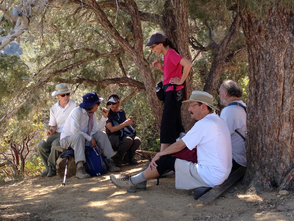
Eleven hikers carpooled to the trailhead at the Switzer Picnic Area (10 miles from La Canada Flintridge along the Angeles Crest Highway) in the San Gabriel Mountains. It was a cool morning as we hiked along a pleasant heavily shaded trail (the remnants of an old asphalt road) one mile downstream along the Arroyo Seco to the remains of the Commodore Switzer Trail Camp which was a bustling weekend spot around 100 years ago. The Switzer Falls are a short distance further downstream, but the U.S. Forest Service warns the hiker not to continue downstream. Instead, the trail crossed to the west side of the stream and climbed the hillside to skirt the narrow gorge; parts of the hillside trail were fenced in to protect hikers from falling. Soon the trail dropped into the Arroyo Seco gorge downstream from Switzer Falls. We followed the trail downstream to the point at which the creek in Bear Canyon flows into the Arroyo Seco and then began climbing steadily upstream in rugged Bear Canyon. We crossed the gurgling stream many times on our way to the Bear Canyon Trail Camp, our turnaround point, four miles from the trailhead. Although their size was diminished by the ongoing drought, there were many mirror-like pools, cascades, and small waterfalls along the way and tall big-cone spruce trees provided heavy shade; wildflowers (including the Humboldt lily) and ferns made their presence known. The camp is situated in a very nice spot; it makes one want to linger. After a lunch break we returned the way we had come, visiting the lower Switzer waterfall along the way. One advantage to hiking upstream in the Arroyo Seco is that doing so provides much better views of the small waterfalls and pools along the way. Eventually we reached the parking lot and returned to Simi Valley having hiked nearly 9 miles with about 1,700′ of elevation gain/loss.
May 26th – Yosemite National Park
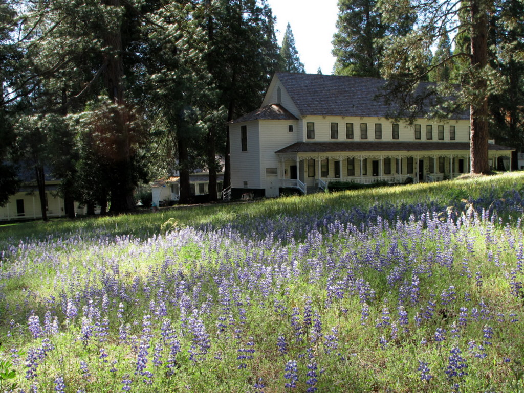

Arrival and Wawona Meadow Loop
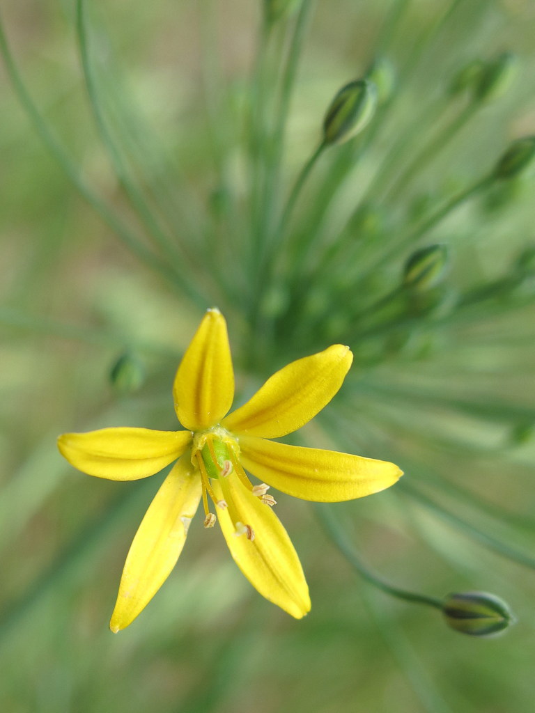
17 Rancho Simi Trailblazers gathered at the Wawona Campground (3,879′) in southwestern Yosemite National Park for several days of camping and hiking in one of the most beautiful areas in the world. After setting up camp, we carpooled over to the lovely Wawona Hotel (4,011′) where we began hiking the easy four-mile Wawona Meadow loop trail (4,071′) which follows a dirt road through a forest of ponderosa pines and incense cedars that encircles the meadow. We enjoyed the cool pine-scented air, the views of the green meadow, the blooming plants (including the rarely seen mountain lady’s slipper orchid), and the solitude of the hike. Afterward we returned to the campground having hiked 4.0 miles with a mere 242′ of elevation gain/loss.
May 27th – Yosemite National Park
TUESDAY, MAY 27, 2014 – Clouds Rest or Little Yosemite Valley or Yosemite Falls
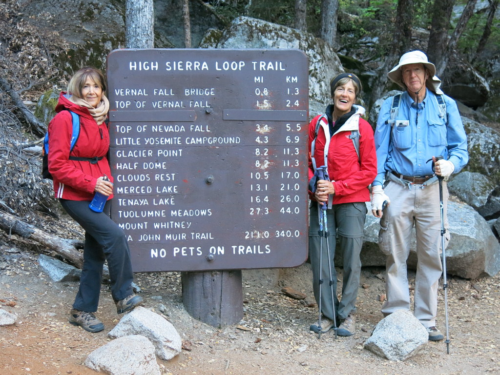
o Group A – Happy Isles TH to Clouds Rest via the Mist Trail (return via the John Muir Trail)
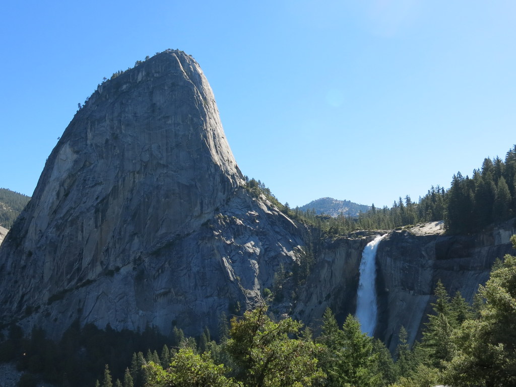
Several hikers began the long climb to Clouds Rest (9,926′) early in the morning at Happy Isles (4,035′) on the floor of Yosemite Valley. They started along the shady John Muir Trail and then followed the more strenuous Mist Trail past the Emerald Pool and the Silver Apron to Vernal Fall and then Nevada Fall (5,980′), two of the park’s most spectacular waterfalls. The hike continued on the John Muir Trail through Little Yosemite Valley and the Clouds Rest Trail to Clouds Rest with its staggering views of nearby Half Dome as well as Tenaya Canyon, North Dome, Basket Dome, Matterhorn Peak, and Mounts Florence, Lyell, and Maclure to the east. The hikers returned to the Happy Isles TH via the John Muir Trail having hiked over 18 miles round-trip with ~6,000′ of elevation gain/loss.
o Group B – Happy Isles TH to Little Yosemite Valley via the John Muir Trail (return via the Mist Trail)
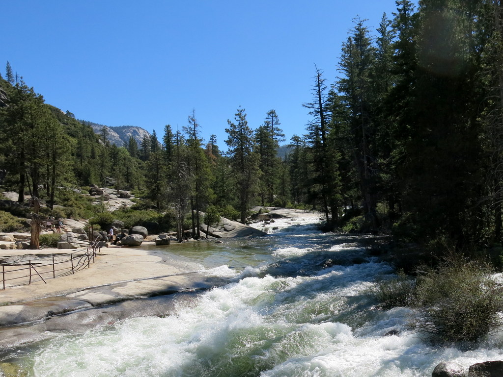
This group of hikers began the climb to Nevada Fall along the John Muir Trail a bit later than Group A, also starting from the Happy Isles TH. The uphill hike was pleasantly cool thanks to the heavily forested mountainside and an early start and as a bonus there were few other hikers on the trail. After exploring the area surrounding the top of Nevada Fall, the hikers continued on to the backpackers campground in Little Yosemite Valley where they rested and had lunch next to the Merced River. The hikers returned to the Happy Isles TH via the Mist Trail (and Vernal Fall) having hiked 11.9 miles round-trip with 2,690′ of elevation gain/loss.
o Group C – Yosemite Falls (lower and upper)
This group of hikers began the arduous climb to the top of Upper Yosemite Fall near the Camp 4 Walk-in Campground on the floor of Yosemite Valley (4,000′). The first mile of the steep trail has many switchbacks and is shaded much of the way. However, after that the trail rises more steeply and is mostly in direct sunlight and the day grew hotter as time passed. There were spectacular views of Half Dome, Mount Clark, and Sentinel Rock as well as Lower Yosemite Fall and Upper Yosemite Fall (6,440′). The hikers – drained by the heat of the day – returned to the trailhead having hiked 6.8 miles round-trip with 2,700′ of elevation gain/loss.
WEDNESDAY, MAY 28, 2014 – Panorama Trail to Happy Isles TH or vice versa
o Group A – Glacier Point to Happy Isles (downhill)
After enjoying the spectacular views from Glacier Point (7,214′) of Yosemite Falls, North Dome, Half Dome, Yosemite Valley, Tenaya Canyon, Vernal Fall, and Nevada Fall, the hikers began hiking down the beautiful Panorama Trail eventually descending into the Illilouette Gorge with views of Illilouette Fall. A leisurely lunch break was taken on a large granite slab jutting into Illilouette Creek a short distance the waterfall. The hike continued as the trail crossed the creek on a nice footbridge and then climbed steadily as it rounded the mountain to reveal 584′ Nevada Fall. Continuing on, the group reached the top of Nevada Fall where the Merced River shoots over a sheer cliff. After enjoying the area around Nevada Fall (5,980’), the hikers descended to the Happy Isles TH via the John Muir Trail having hiked 12.43 miles one-way with 1,208′ of elevation gain and 4,313′ of elevation loss.
o Group B – Happy Isles to Glacier Point (uphill)
This group of hikers started earlier than Group A and hiked in the opposite direction; the two groups met at the Illilouette Fall lunch spot (and exchanged car keys). The group hiked 12.43 miles one-way with 4,313′ of elevation gain and 1,208′ of elevation loss.
THURSDAY, MAY 29, 2014 – Tunnel View Overlook to Crocker/Dewey Point via the Pohono Trail
o Group A – Tunnel View Overlook to Dewey Point via the Pohono Trail
After getting an early start (4,410′), the hikers began hiking fairly steeply and steadily through a very pleasant (and cool) forest of incense cedar, ponderosa pine, and Douglas fir trees. After crossing an abandoned road built in 1875 as the original wagon route into Yosemite Valley, the hikers soon reached Inspiration Point (5,420′) with its spectacular views of El Capitan, Clouds Rest, Half Dome, Sentinel Dome, and Cathedral Rocks. Continuing to climb upward the trail finally crested and then headed toward Crocker Point (7,090′) with its commanding views of Bridalveil Fall, Half Dome, et al. Further on, Dewey Point (7,385′) provided unrivaled views down into Yosemite Valley and across much of the mountainous park. This group hiked 12 miles round-trip with 3,554′ of elevation gain/loss.
o Group B – Tunnel View Overlook to Crocker Point via the Pohono Trail
This group of hikers took the same route as Group A, but turned around at Crocker Point where the hikers enjoyed a leisurely lunch-and-rest break while enjoying the spectacular views. This group hiked 10.8 miles round-trip with 3,255′ of elevation gain/loss.
FRIDAY, MAY 30, 2014 – Yosemite Valley Floor Loop or alternatives
o Group A – This group of hikers got a fairly early start and hiked the Yosemite Valley Floor Loop Trail starting and ending at the Yosemite Falls shuttle stop. The trail skirts the base of the cliffs that surround the valley and is frequently well-shaded. Despite the crowds that frequent the valley, happily the hikers didn’t encounter a single hiker until late morning (and then mostly in the Bridalveil Fall area). The trail followed the Merced River for quite a while and there were views of Yosemite Falls, El Capitan, the Leaning Tower, Ribbon Fall, Cathedral Rocks, Three Brothers, Sentinel Rocks, and Sentinel Falls. The hikers left the loop trail at the Four Mile Trail parking area, then crossed the “swinging bridge†and passed Yosemite Lodge, thus completing a 12.8-mile loop hike with 650′ of elevation gain/loss.
SATURDAY, MAY 31, 2014 – Chilnualna Falls
Chilnualna Fall is one of the tallest waterfalls outside of Yosemite Valley (the trailhead is located a little over two miles from the Wawona Campground). The hikers got an early start (to beat the heat) and began (4,261′) the uphill hike along Chilnualna Creek, soon reaching a pretty 25-foot waterfall. The lower portion of the trail is shaded, but it soon crosses a sunny manzanita-covered ridge; it then enters a cooler forest of ponderosa pines and incense cedars before emerging into the open as it nears the main waterfall. The group rested on granite rock along the Chilnualna Creek just above the main waterfall and below a series of cascades. Some of the group hiked a short distance further uphill to another set of nice cascades. There were many blooming plants along the trail. The hikers returned to the trailhead having hiked 9.4 miles round-trip with 2,392′ of elevation gain/loss.
SUNDAY, JUNE 1, 2014 – Strike camp and drive home (284 miles) – We had a wonderful time in Wawona and Yosemite Valley. The weather was perfect, the temperatures were mostly pleasant, the scenery was magnificent, and the company was congenial.
May 24th – The Hummingbird Trail and Rocky Peak
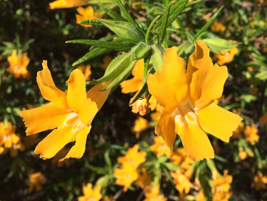
10 hikers met in the dirt parking area (1,120′) on the east side of Kuehner Avenue just north of Hwy 118 in Simi Valley to hike to Rocky Peak via the Hummingbird Trail. It was a pleasant marine-layer-cooled morning as we began our eastward climb to the Rocky Peak Fire Road. The trail passed through (and on) a variety of imposing rock formations along the way including very large boulders and giant slabs of sandstone rock, many with small “caves.” Many flowering plants (including sticky monkey flower, deerweed, buckwheat, yucca, and canyon sunflowers) adorned the hillsides. After reaching the fire road we followed it northward to the spur trail that led us a quarter of a mile east to the San Fernando Valley overlook, near the actual peak (2,715′) which was lost in the low-lying fog. As we returned the way we came, we encountered a group of firefighters ascending the Hummingbird Trail as part of a training exercise. We reached the parking area having completed an 8.4-mile hike with about 1,750′ of elevation gain/loss.
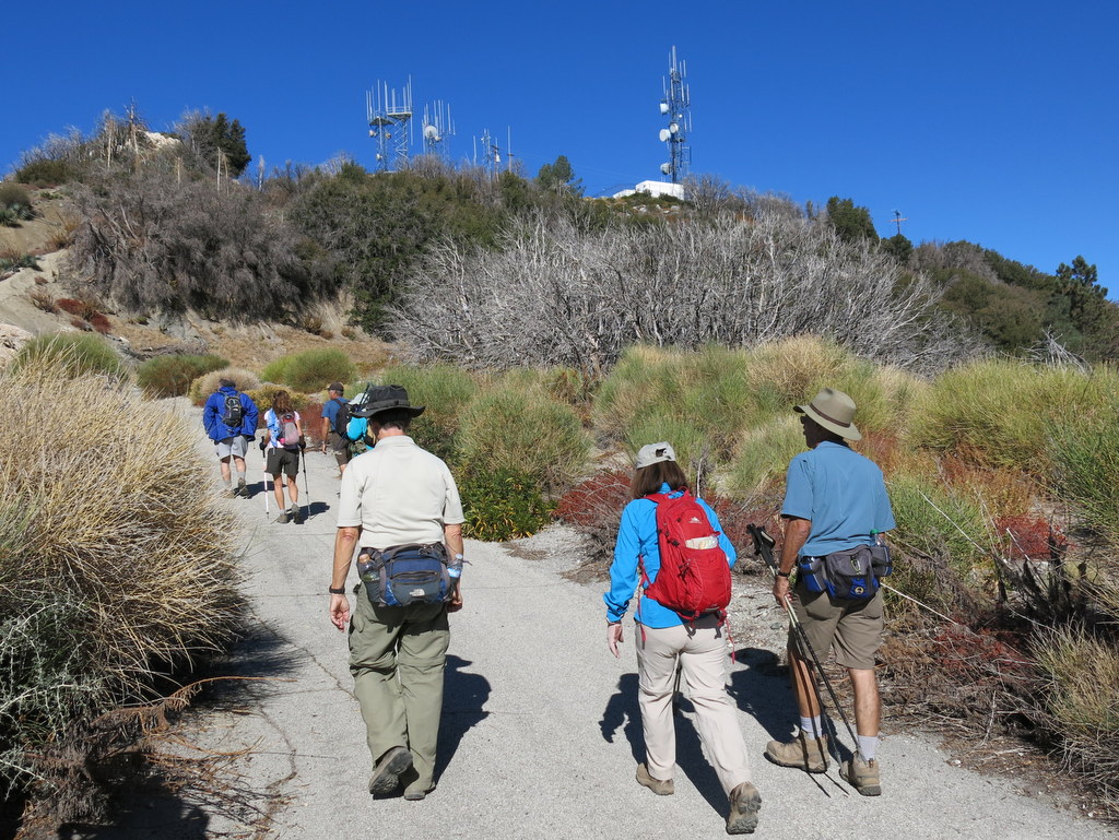
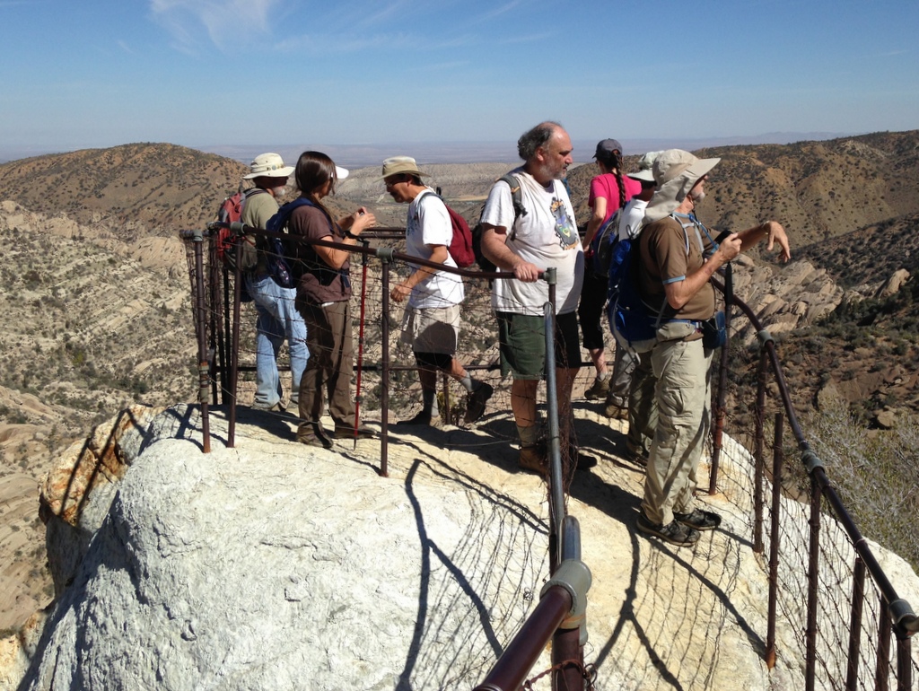
May 18th – Mt. Baldy, Ski Lift, Devil’s Backbone, Mt. Baldy/Bear Flat Trail to Mt. Baldy Village
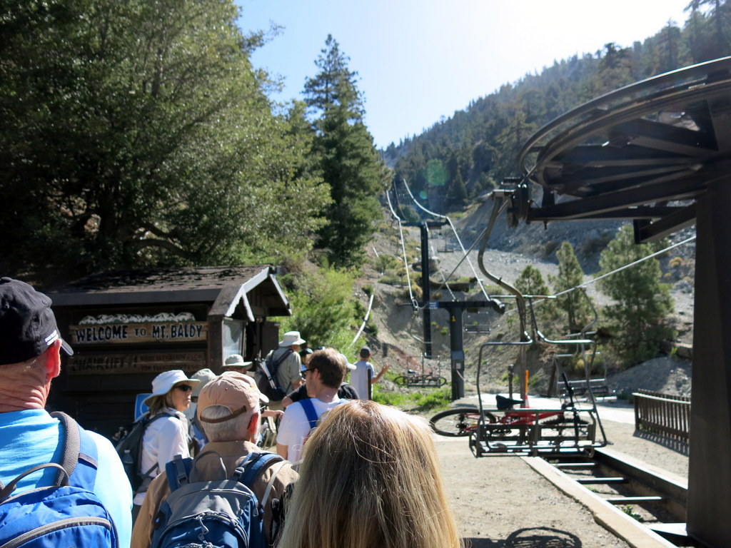
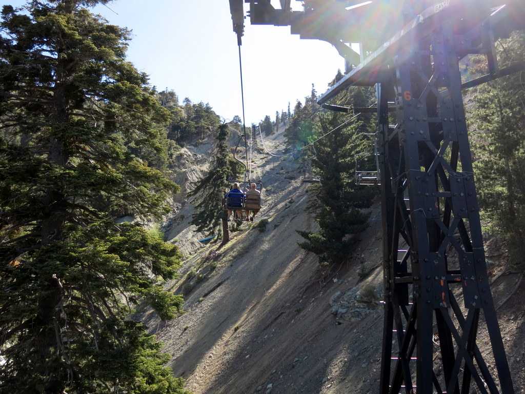
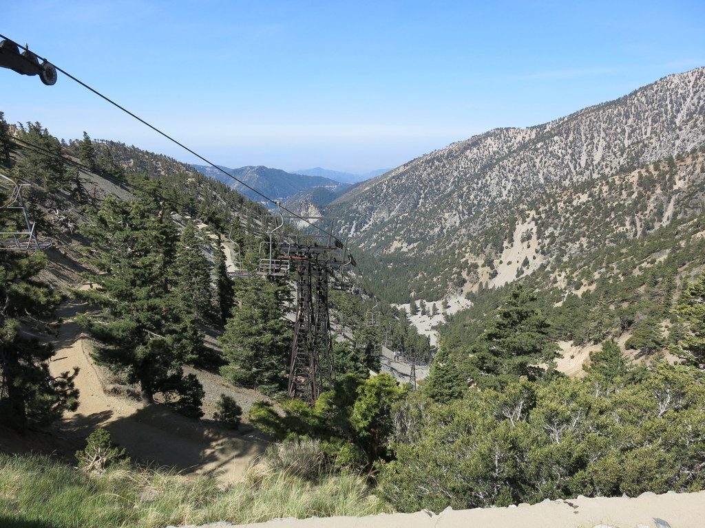
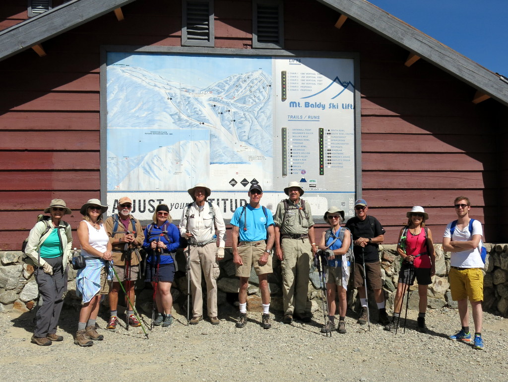
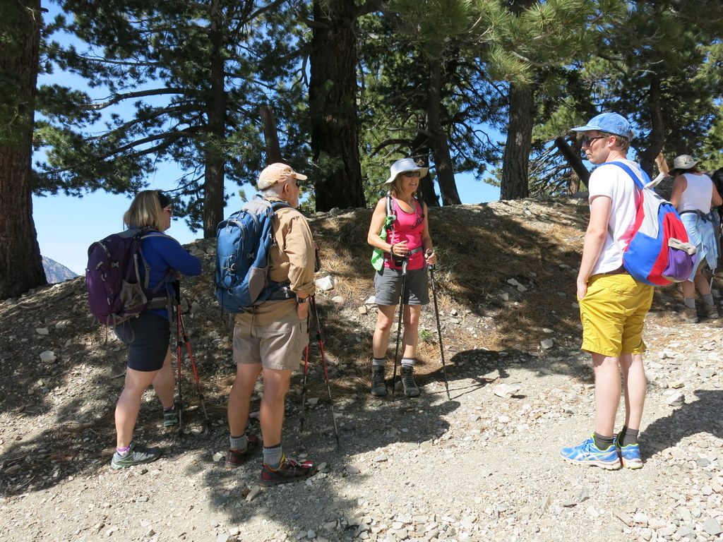
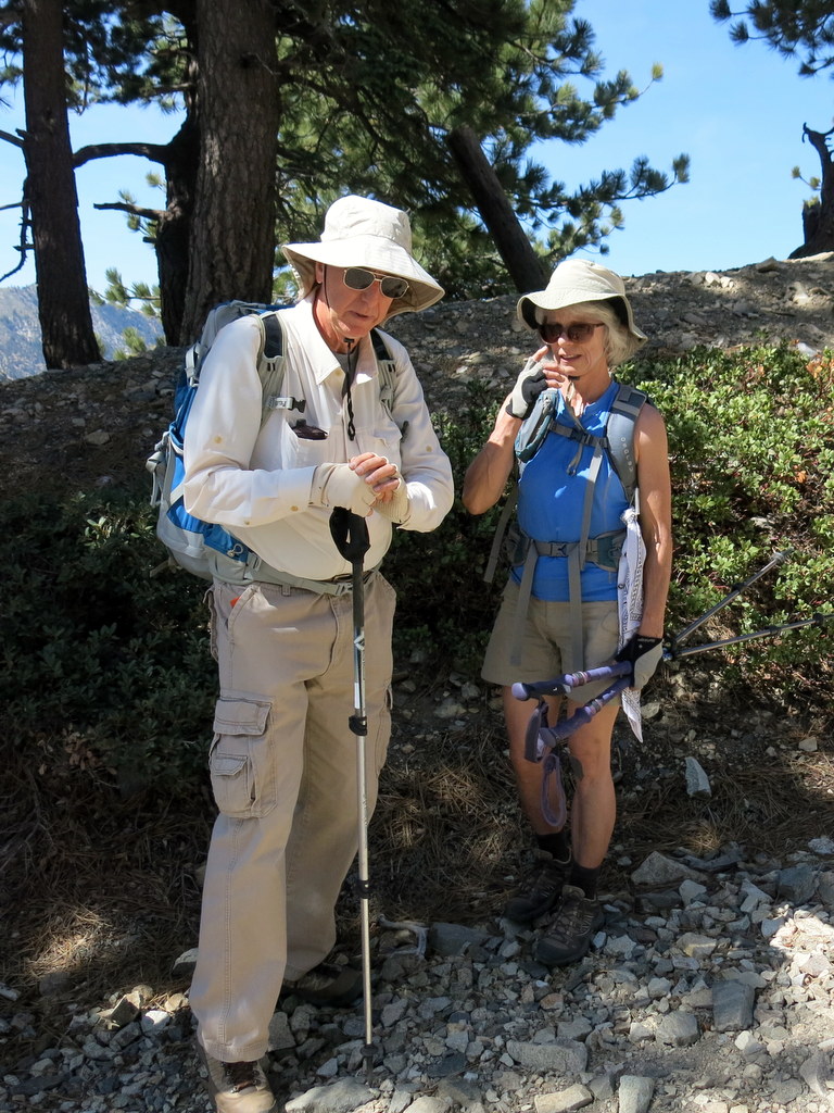
12 hikers gathered in the Mt. Baldy (Mt. San Antonio) Ski Lift parking lot (6,447′) at the north end of Mt. Baldy Road on a pleasant spring morning to hike to Mt. Baldy peak (10,064′), the highest peak in the San Gabriel Mountains. After riding the ski lift up to Baldy Notch (7,802′), we set out on the 3.6-mile climb to the peak. Initially the trail followed a fire road/ski run heading up the mountain to the west for about 1.25 miles, eventually leading to the well-named Devil’s Backbone portion of the trail. This middle portion of the trail led onto a sharp narrow ridge with steep drop-offs on both sides posing a serious danger to careless hikers, but affording great views into the deep gorge of Lytle Creek to the north and into San Antonio Canyon to the south. The trail then narrowed to a pulse-raising 12″ – 18″ width as it wound around the southeast flank of Mt. Harwood, again requiring a keen focus on the trail. Eventually, Mt. Baldy peak came into view in the distance. After crossing a saddle, we began climbing the steep trail to the top of the mountain, pausing as needed to catch our breath. Finally we reached the top of Mt. Baldy and were rewarded with a 360-degree view (which was limited by heavy smog in the distance). After resting, eating our lunches, and enjoying the view we descended the unsigned Mt. Baldy/Bear Flat Trail (referred to by John Robinson as “The hard way to do Old Baldy”) to Mt. Baldy Village (4,273′). The last section of this trail below Bear Flat (5,580′) was lovely; there were ferns under a canopy of live oak, bay, and bigcone Douglas-fir trees and a pleasant stream gurgled as it cascaded down the canyon. We returned to Simi Valley, tired but happy, having completed a 10.4-mile hike with 2,448′ of elevation gain and a whopping 5,836′ of elevation loss.
May 3rd – East Canyon, Corral Sunshine Motorway, Mission Point

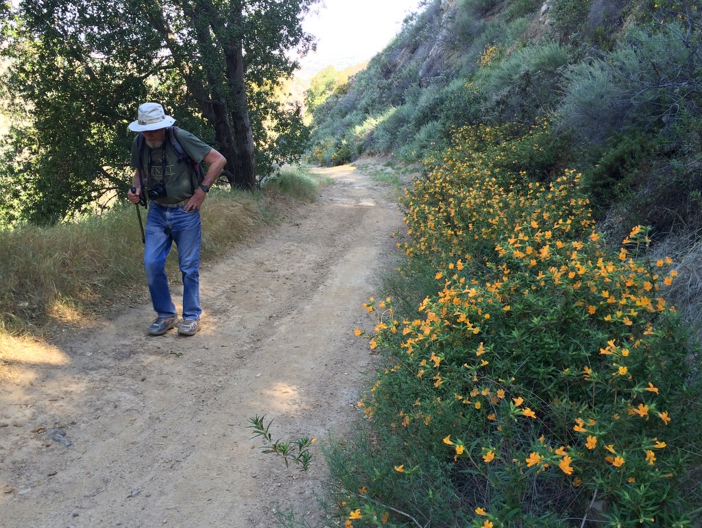
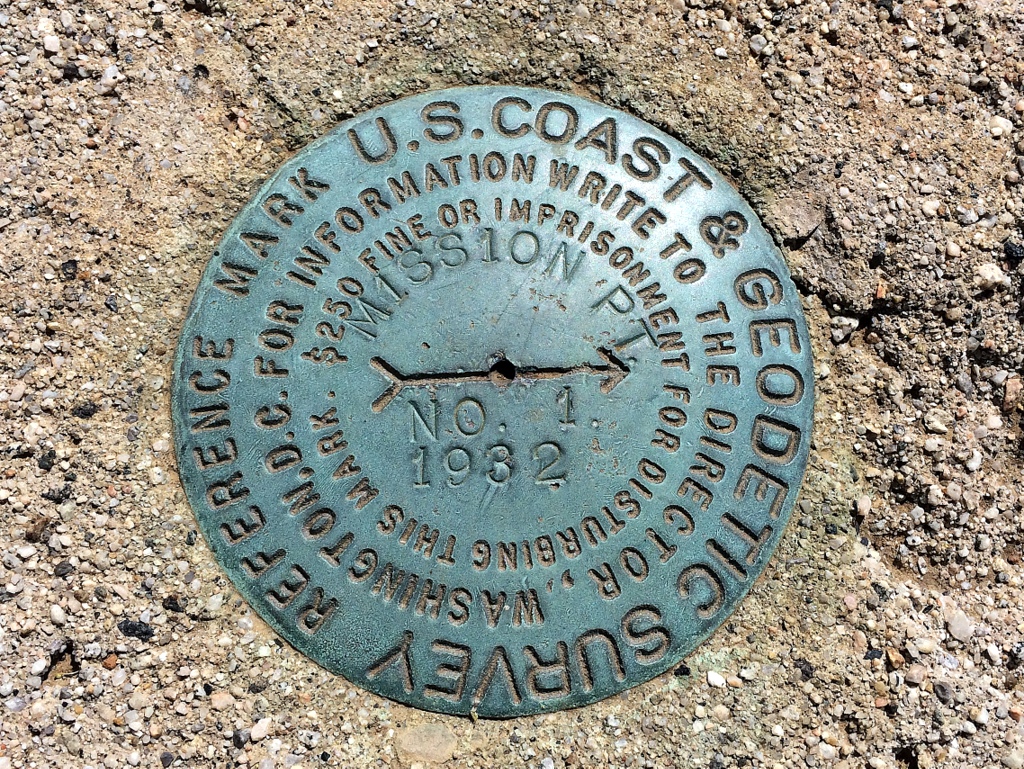
9 hikers carpooled to the “East Canyon, Rice Canyon, and Michael D. Antonovich Open Space” section of the 4,000-acre Santa Clarita Woodlands Park in the San Fernando Valley on an unseasonably hot day. One additional hiker joined us at the trailhead and we began hiking southward along the non-maintained and somewhat-eroded East Canyon Motorway as it followed the small creek in the canyon bottom. The route was lined with bay laurel, black walnut, cottonwood, sycamore, and oak trees. Soon the dirt road began rising more steeply along the western side of a wooded ridge and we were greeted by an abundance of wildflowers including lupine, cliff-aster, clarkia, sugar bush, elderberry, California everlasting, black mustard, and sticky monkey flower. We enjoyed views of the steep green slopes to the west and relics of the bigcone Douglas-fir trees that once covered the mountain. The heat of the day was mitigated by intermittent shade and refreshing breezes as the road led inexorably upward to a junction with Bridge Road (and the Oat Mountain Motorway) which is blocked by a SoCal Gas fence and gate. Having reached the highest point in our hike, we headed southeast along the very pleasant Corral Sunshine Motorway to Mission Point which provides a panoramic view of the San Fernando Valley and beyond. After resting, we retraced our route to the trailhead, enjoying beautiful surroundings. We reached our very hot vehicles and returned home having completed a 9-mile hike with 1,600′ of elevation gain/loss on a surprisingly good day for mountain hiking.
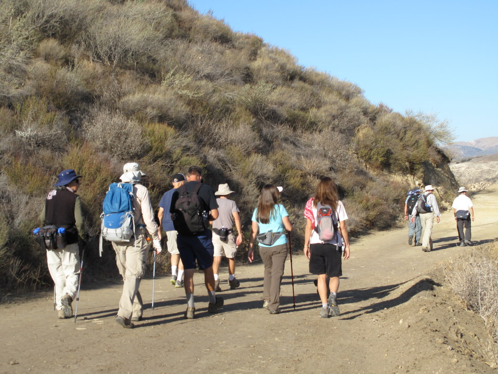
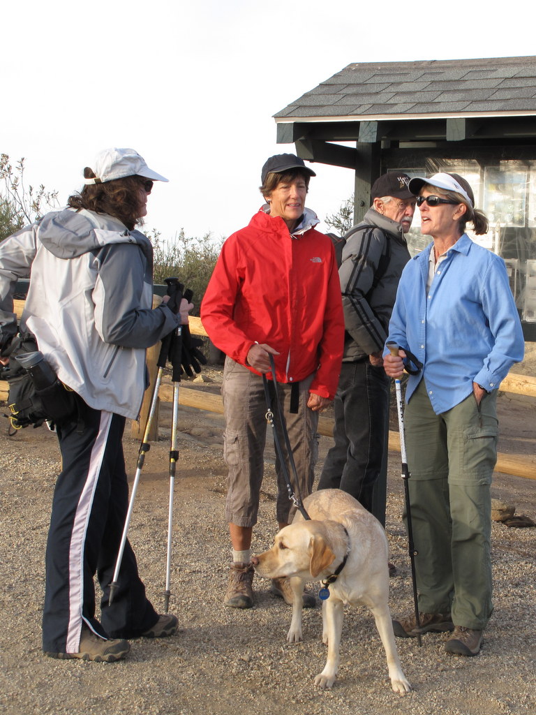
April 26th – Towsley Canyon Loop
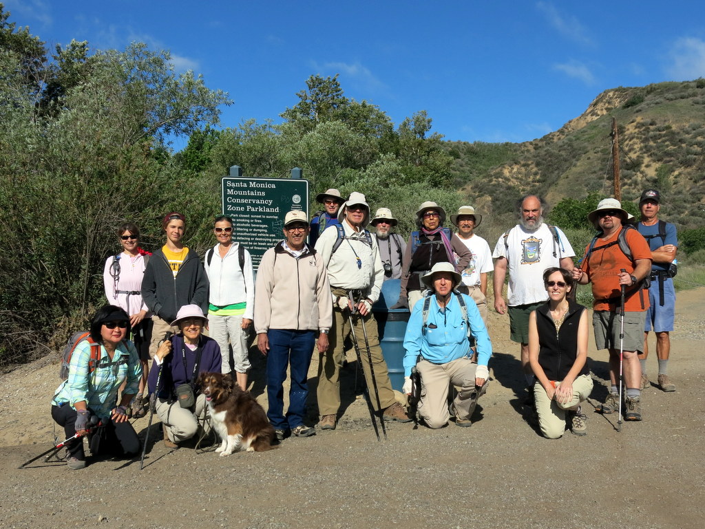

17 hikers (plus one dog) met at the “Ed Davis Park at Towsley Canyon” section of the 4,000-acre Santa Clarita Woodlands Park on a pleasant spring morning. We began hiking along a dirt road toward the Sonia Thompson Nature Center, crossing Towsley Creek on a concrete bridge. Soon we began a counterclockwise hike on the Towsley View Loop Trail. After passing through The Narrows section of Towsley Gorge, the trail began rising via switchbacks along the shaded eastern slope of the canyon. The verdant north-facing slopes of the Santa Susana Mountains rose steeply to the south. The single-track trail passed through sage scrub, stands of California walnut, bay laurel, and scattered oak trees as we made our way to the 2,450′ high point on the trail from which much of the Santa Clarita Valley could be seen. The hillsides were adorned by many blooming wildflowers which begged to be photographed. The trail then began dropping into shady Wiley Canyon which we followed downstream to a junction with the Canyon View Loop Trail which rose along the northern flank of the mountain before descending to the Sonia Thompson Nature Center. After resting in the shaded grassy area near the nature center, we followed the paved road back to our vehicles, having completed a very pleasant 6.8-mile hike with 1,400′ of elevation gain/loss.
April 19th – Matilija Falls
Fifteen hikers carpooled to the trailhead at the west end of Matilija Road a few miles northwest of Ojai on a pleasant spring morning; two other hikers met the group at the trailhead. The hike began along a road that headed west through the private Matilija Canyon Ranch Wildlife Refuge where we were greeted by several loud, but beautiful peacocks. The stream crossing at the 0.4-mile mark was easy since the water level was relatively low. After a little over a mile our route crossed through a lovely private ranch via a dirt road that hikers are restricted to. At about the 2-mile mark the dirt road became a narrow trail as it wound through a shady poison-oak-paradise stretch. In fact, since the route closely followed Matilija Creek the rest of the way, poison oak was frequently present [long pants and a long-sleeved shirt are recommended]. After a while we stopped by the stream at a particularly lovely spot and took a short break (and some photos). Continuing upstream the maintained trail ended and we began to scramble and boulder hop, frequently finding short open stretches of trail. Occasionally we were required to cross the stream in order to continue – fortunately this was possible without having to wade. We were rewarded for our effort by beautiful scenery including the flowing creek, several large pools of water, vast expanses of sedimentary rock layers, an extensive riparian oak woodland, towering canyon walls, and many wildflowers. At about the 4.5-mile mark we reached a 30-foot cascade and a beautiful shaded campsite just above it. We took a rest-and-lunch break in this idyllic location. Continuing on upstream we soon reached the two fabled waterfalls, took some photos, and rested briefly. The scrambling and boulder-hopping going downstream seemed considerably easier than going upstream and the scenery was just as beautiful. We made it back to our vehicles with mostly minor scratches, cuts, and bruises. We returned home after a 9.8-mile hike with around 1,300′ of elevation gain/loss.
April 6th – Santa Cruz Island (Channel Islands National Park)
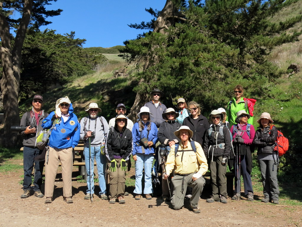
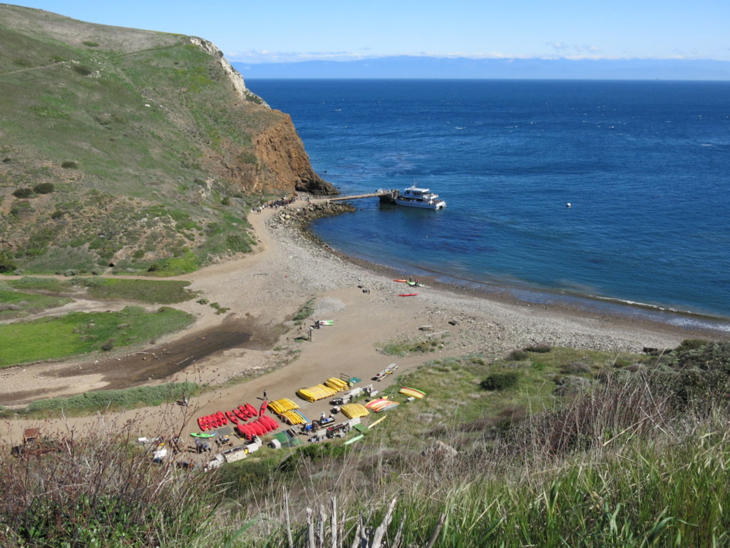
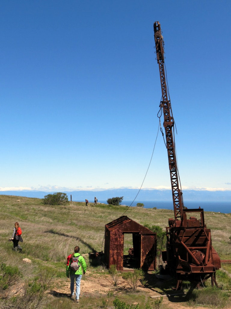

Eighteen eager hikers assembled around 7:00 a.m. at the Island Packers facility in Ventura Harbor with their hiking gear, looking forward to exploring Santa Cruz Island, the largest of the five islands in the Channel Islands National Park. Shortly after 8:00 a.m. our trip across the Santa Barbara Channel began. As a result of a strong wind from the west, we experienced an unpleasant “heaving” boat ride; Anacapa Island was visible to the south. We disembarked at Scorpion Anchorage on the east end of the island, very happy to be on firm ground again. After hiking a short distance toward the nearby campground, we turned left onto Scorpion Road and followed it as it climbed over 700′ to a trail (dirt road) junction. At that point seven hikers decided to hike up to El Montanon peak and the remaining hikers headed toward Smugglers Cove. It was a beautiful, if somewhat windy, day – the hillsides were green, there were many blooming wildflowers, and the temperature was perfect for hiking uphill. Smugglers Cove is a lovely sandy bay on the eastern edge of the island with a nice view of Anacapa Island; shade was provided by many large eucalyptus trees and there was an old ranch house (built in 1889) as well as evidence of the olive grove and nut trees that once flourished there. El Montanon (1,808′) is the highest mountain on the island that is accessible by the public; the views from the peak are spectacular, including other islands in the Santa Barbara Channel and the coastline of Southern California. It is accessed via Montanon Ridge and High Mount with stretches of narrow trail flanked by pulse-raising drops along the volcanic slopes. It was very windy and cold at the peak; along the way we passed an historic oil well and a cypress grove. The two groups of hikers arrived back at Scorpion Anchorage simultaneously, the Smugglers Cove group having hiked 8.8 miles with 1,818′ of elevation gain/loss and the El Montanon peak group having hiked 9.5 miles with 2,547′ of elevation gain/loss. The Island Packers boat ride back to Ventura Harbor at 4:30 p.m. was quite pleasant.
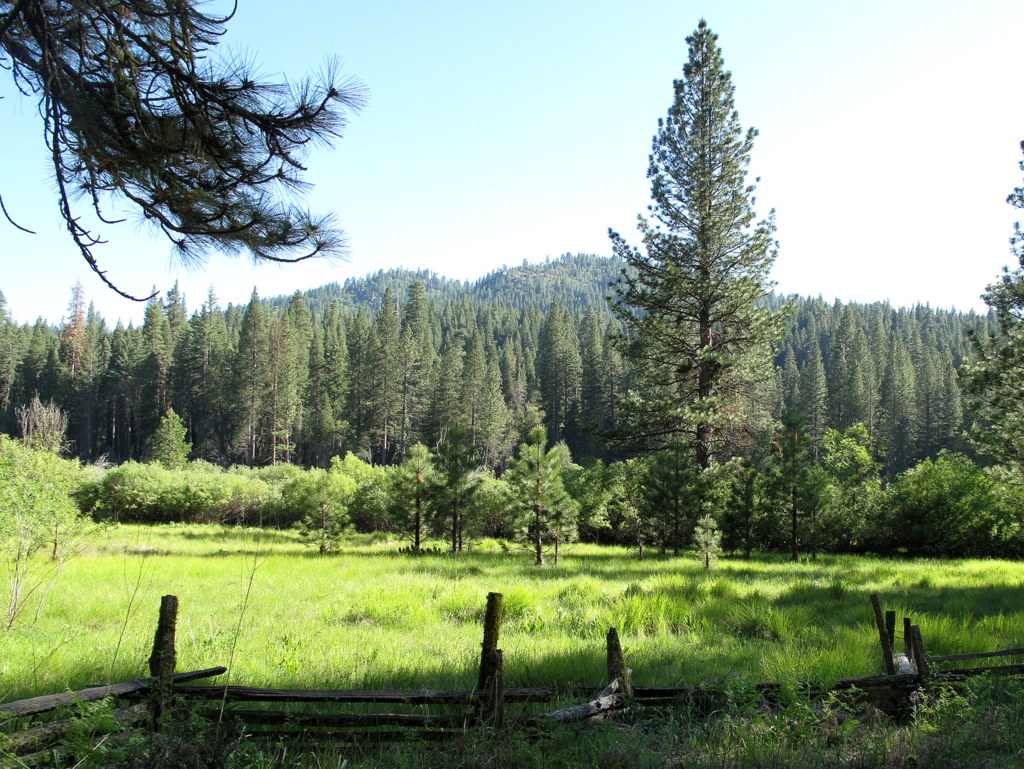
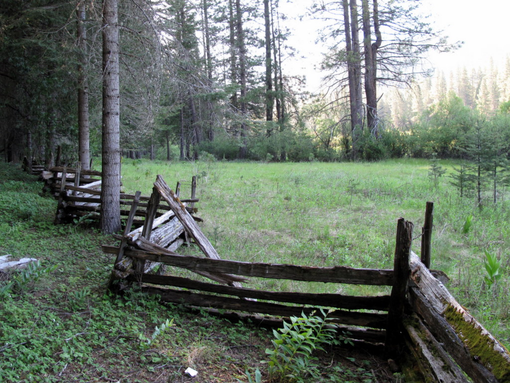
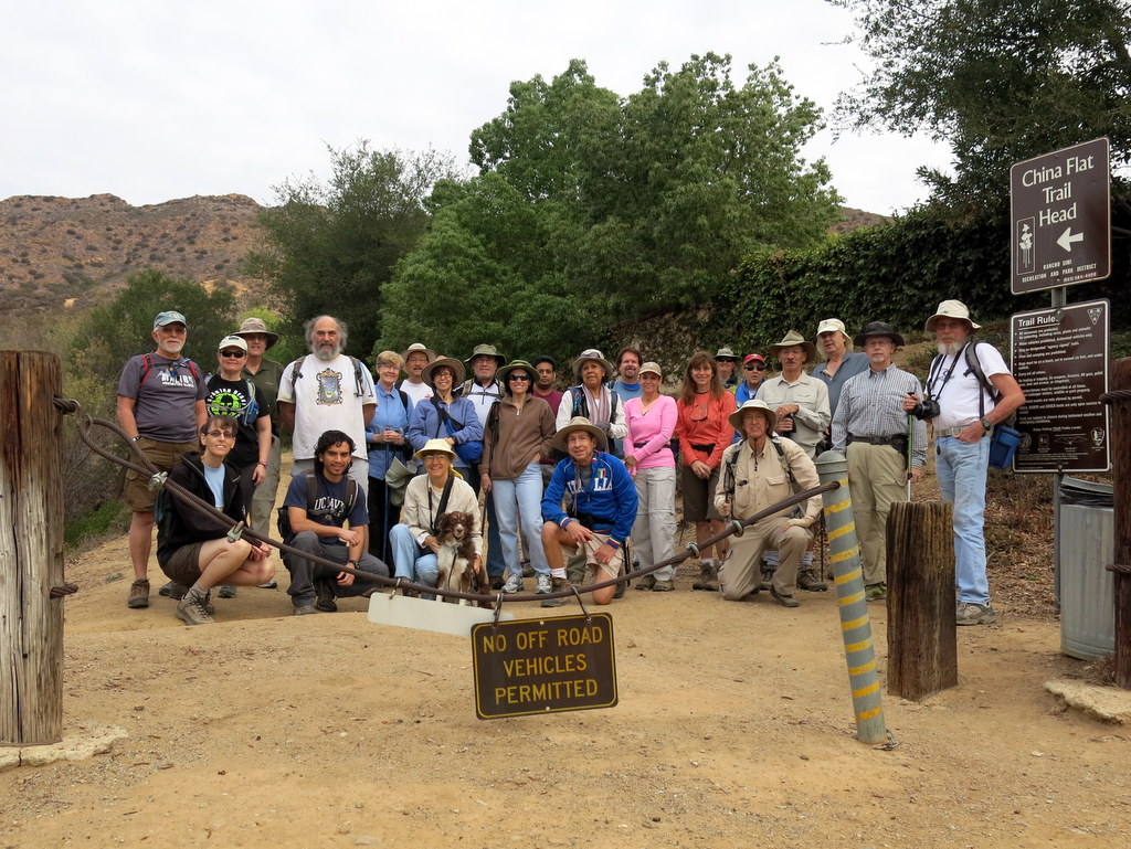
March 29nd – Happy Camp Canyon, Middle Range Fire Road Loop
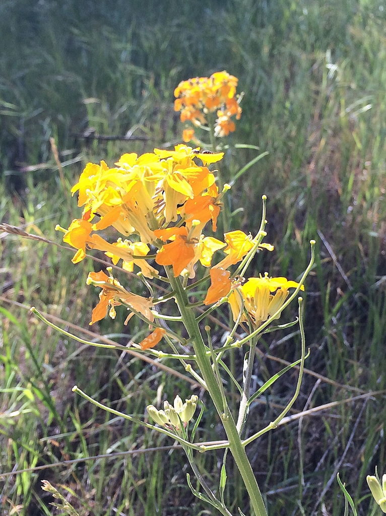
A bakers dozen worth of Trail Blazers met at Donut Delite and carpooled to the Broadway trail head of Happy Camp Canyon Regional Park. It was a cool and clear morning yielding to perfect hiking weather. Only in the distance to the west, was some fog, that obscured our ocean views, once we gained elevation on the Middle Ridge Fire Road. Today we saw more wildflowers than on all previous trails this season to date. Even in this severe drought, many varieties were in evidence, including Wishbone, Bush Sunflower, Bush Lupine, Bladder Pod, Cliff Aster, Indian Paintbrush, Datura and Santa Barbara Loco Weed. Total distance was 10.8 miles with just over 2,000′ of elevation gain. The day was in stark contrast to the last time we hiked this same loop in extremely high winds.
March 22nd – Edison Road, Albertson Motorway, Upper Las Virgenes Trail
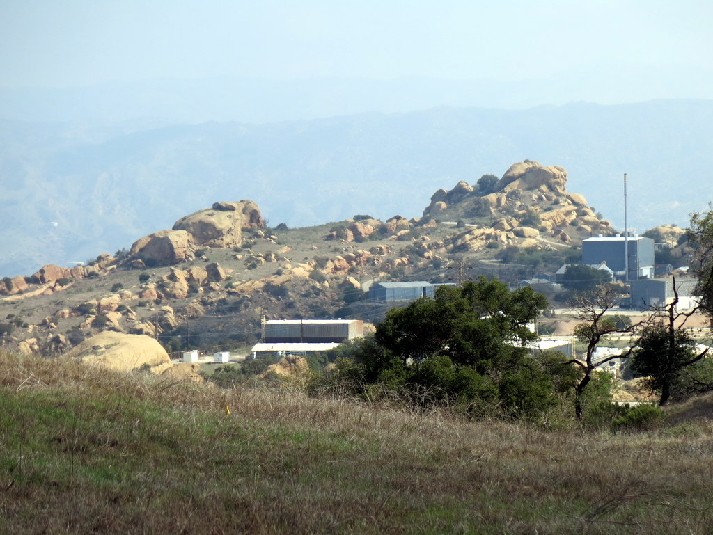
15 hikers (+ one dog) met at Vista Del Arroyo Park on Chicory Leaf Place in Simi Valley for a hiking adventure in the pleasingly green springtime Simi Hills. At first we headed east along the Arroyo Simi but we then began climbing a north-south ridge along an Edison Road toward the Albertson Motorway which runs east-west atop the Simi Hills. We were soon rewarded with views of the nearby mountains and canyons as well as the American Jewish University’s Brandeis-Bardin campus to the east and the recently graded Runkle Canyon slopes and beyond to the west. As we climbed higher, the Arness Fire Road appeared to the east and several unusually shaped structures on the Santa Susana Field Laboratory property [aka Boeing/Rocketdyne] loomed into view. Eventually we reached the Albertson Moorway and enjoyed a rest/lunch break on lush green grass in the shade of some large oak trees. We continued to the south to a higher vantage point with sweeping views of the Simi Hills to the south. We then returned to our vehicles, having completed a 10-mile hike with about 2,200′ of elevation gain/loss on a nice day for hiking.
March 8th – Devil Canyon to Las Llajas Canyon
10 hikers met at the Las Llajas Canyon trailhead in Simi Valley and then carpooled to the Devil Canyon trailhead on Poema Place in Chatsworth. Our hike began as we descended into the heavily shaded canyon bottom where we followed the remnants of the Devil Canyon Motorway upstream as it frequently crisscrossed the creek. Though the narrow lower portion of the canyon still has debris left behind by flooding a few years ago, it provides a cool sanctuary for the hiker. Recently grown bright green grass adorned the open areas among the oak trees as the canyon widened and the flora had been cleaned by the recent rain. After passing through a cathedral-like oak woodland in the upper portion of Devil Canyon we reached Browns Canyon Road which we followed westward to its three-way junction with Rocky Peak Fire Road and Las Llajas Canyon Road. As we headed south on Rocky Peak Fire Road we enjoyed excellent views of the Santa Susana Mountains before we descended along an abandoned oil field road into Las Llajas Canyon where we took a lunch break. We then hiked downstream through Las Llajas Canyon to its trailhead on Evening Sky Drive, completing a pleasant 10.5-mile hike with about 1,600′ of elevation gain.
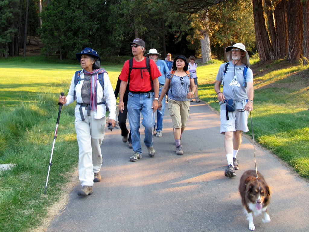
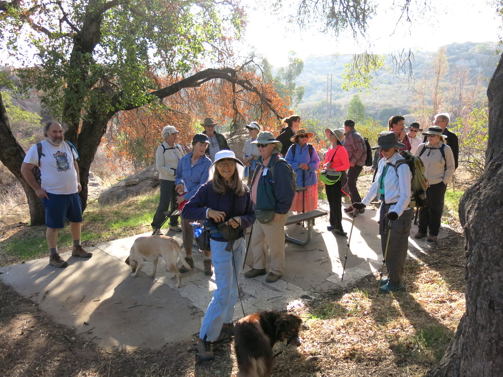
February 22nd – Placerita Canyon – Los Pinetos Trail
20 hikers gathered in the main parking lot in Placerita Canyon County Park in southeastern Santa Clarita Valley on a beautiful “winter” morning. After a group photo near the Nature Center (1,550′) we began hiking briskly eastward along the Placerita Canyon Trail. The air was cool since the canyon is shaded in the early morning. The creek in the canyon was completely dry as a consequence of ongoing drought. After about two miles, we reached the Walker Ranch site (1,800′) and headed south on the Los Pinetos Trail, climbing steadily toward Wilson Saddle (3,100′) and the Santa Clara Divide Road. After the first steep mile or so, the trail entered a pleasant live oak forest adorned with bright green grass for the remainder of the nearly three-mile-long trail, passing Los Pinetos Spring along the way. The group enjoyed a break at Wilson Saddle which has comfortable seating and bathroom facilities, followed by a short walk to the southeast to an overlook of the San Fernando Valley. The hike resumed along a short portion of Whitney Canyon Road, but soon turned northward onto an unmarked firebreak leading down toward the Nature Center. This firebreak is not a fire road; it has many steep downhill stretches as it heads to the northwest, as well as several short sometimes-steep uphill stretches. It is challenging and strenuous, particularly if one is heading up it (rather than down it as we were). Eventually we reached the Manzanita Mountain trail leading down to a large water tank overlooking the Nature Center. We then descended to the parking lot via the Hillside Trail. We returned to the carpool point in Simi Valley, having completed a pleasant 8-mile hike with 1,981′ of elevation gain.
February 8th – Sulphur Mountain Shuttle
8 hikers carpooled to the paved west end of Sulphur Mountain Road (off Highway 33) near Ojai on a chilly winter morning. Leaving two vehicles parked near the gate, we boarded the other two vehicles for a scenic drive through the Ojai Valley to the eastern trailhead via Highway 150 and the paved east end of Sulphur Mountain Road which wound uphill through an oak forest. After assembling our hiking gear, we headed westward along the Sulphur Mountain Recreation Trail (SMRT). It was a pleasant day for hiking and we were soon treated to sweeping views of the beautiful rolling green terrain between our trail and the ocean. However, as we continued westward the deleterious effects of the continuing drought were quite evident; the hillsides were severely desiccated though the numerous oak trees still seemed to be in fair condition. The sky kept changing from bright blue with puffy white clouds to sun-blocking gray cloud cover and back again, but no rain fell. The water-level in distant Lake Casitas was alarmingly low. We eventually reached our vehicles, having completed a pleasant 10.3-mile stroll with 400′ of elevation gain and around 2,500′ of gradual elevation loss.
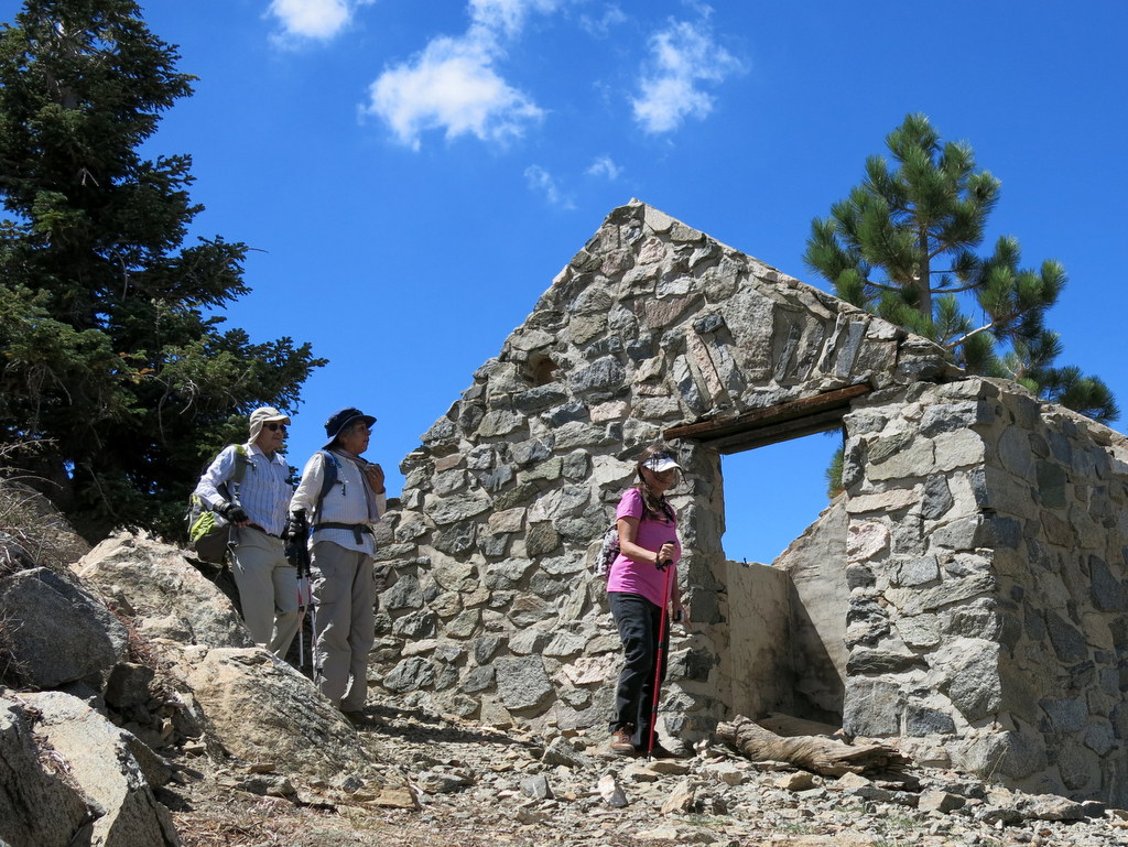
February 1st – Johnson Motorway to Rocky Peak
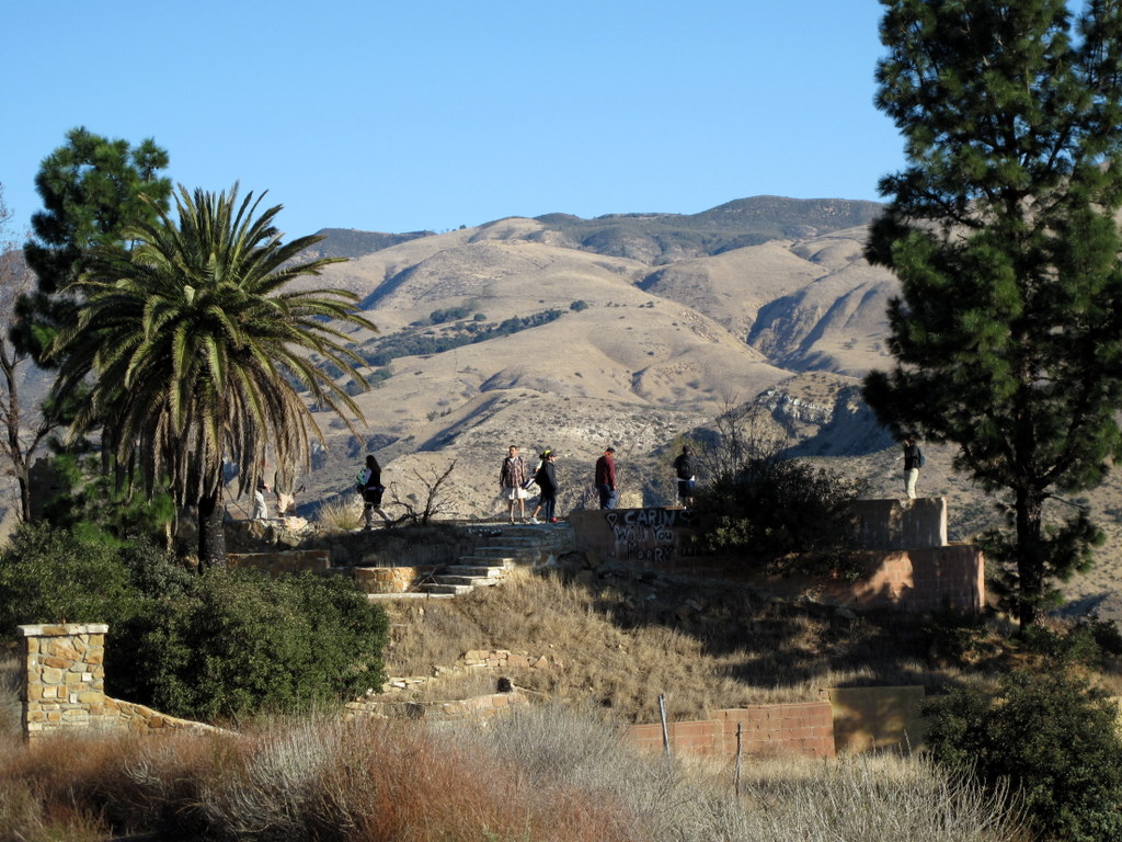
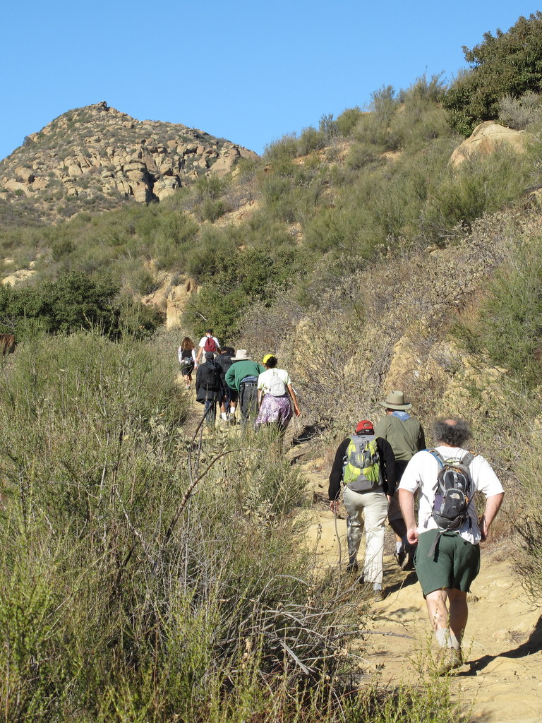
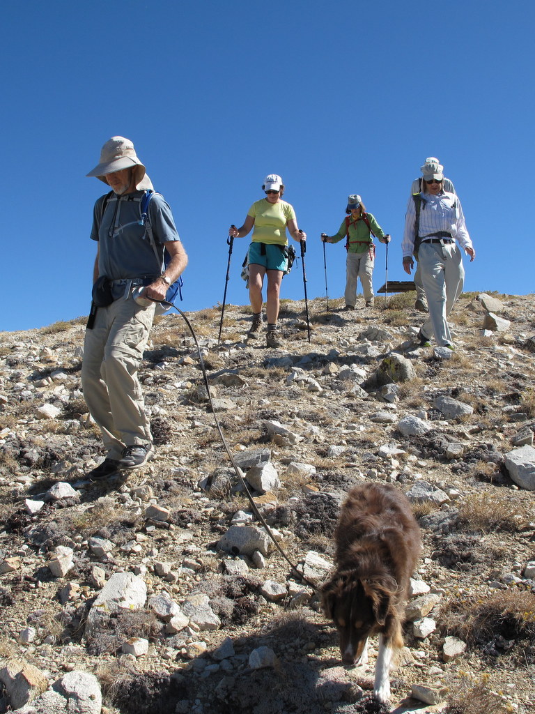
15 hikers met at the trailhead on Iverson Road just outside the gated southern entrance to Indian Springs Estates in Chatsworth on a chilly winter morning. After following the easement through the upscale gated community, we reached the beginning of the unpaved Johnson Motorway (once a toll road). The trail (an old dirt and sandstone roadbed) rose westward until it met a short “driveway” leading north to the ruins of the ranch house that was built by Ann and Neils Johnson who were the first English-speaking homesteaders in the San Fernando Valley; they had built their primary home in “Chatsworth park” in the 1870’s. Leaving the ruins, we followed the Johnson Motorway as it passed through a landscape of dramatic rock formations, climbing steadily, but not steeply, toward the Rocky Peak Fire Road. After 3.5 miles we reached the fire road where we took a short break. We then headed southward along the Rocky Peak Fire Road enjoying views of both Simi Valley and the San Fernando Valley and then followed a short spur trail to a very windy overlook near Rocky Peak. We retraced our route downhill back to our vehicles and returned home having completed a pleasant 9.25-mile hike with about 1,925′ of total elevation gain.
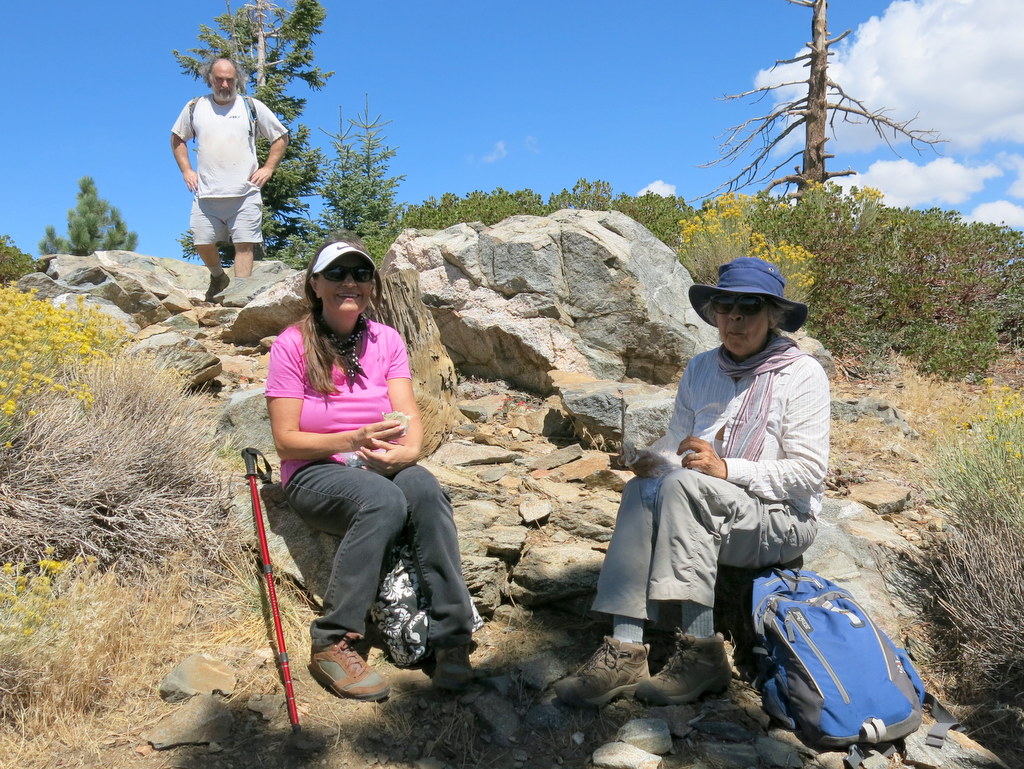
January 26th – Simi Peak via China Flat
27 hikers met at a trailhead on Lindero Canyon Road (near King James Court) in Oak Park on a beautiful “winter” morning. Our hike in the Simi Hills began along a single-track trail, but soon continued along an old dirt-and-rock road as it rose up the south side of the mountain, providing ever-expanding views to the south. Upon reaching the apex of the old road, we headed north and descended into lovely China Flat with its oak trees and sprawling meadows. The impact of the continuing drought was clearly evident on the flora in the area. After circling China Flat in a counterclockwise direction, we followed a trail westward and climbed to Simi Peak (2,403′), the highest point in the Simi Hills (which occupy the area between Simi Valley and Hwy 101 and between Hwy 23 and the San Fernando Valley), where we were greeted by unusually clear vistas. We took a rest-and-lunch break atop the peak and enjoyed the panoramic view, including glimpses of two of the Channel Islands. After a while we returned to our vehicles, completing a 7.5-mile hike with about 1,900′ of elevation gain/loss on a beautiful day.
January 11th – Sisar Canyon

14 hikers (and one cute dog) carpooled to the Sisar Canyon trailhead on Sisar Road just north of the Summit Community on Hwy 150 between Santa Paula and Ojai in the Los Padres National Forest on a pleasantly cool winter morning. The hike began on a shaded dirt fire road (4N15) which ascended to the north along the intermittently flowing creek which required two easy crossings. Eventually the road turned southwestward and emerged into the sunlight as it headed ever-upward [toward its eventual end at the Nordhoff Ridge Road (5N08)]. We were treated to increasingly panoramic views of the surprisingly green hillsides of the surrounding mountains (including the Topa Topa Ridge to the north) and the Upper Ojai Valley and Sulphur Mountain to the south. We encountered several hikers and bicycle riders. After hiking about 3.5 miles, the trail (21W08 aka Red Reef Trail) leading to White Ledge Camp diverged from the fire road. We followed it about one mile to the trail camp which is situated along a creek among towering conifers. After a welcome and refreshing respite at the trail camp, we retraced our steps downhill back to our vehicles and returned home, having completed a 9-mile hike with a total elevation gain/loss of about 2,000′.
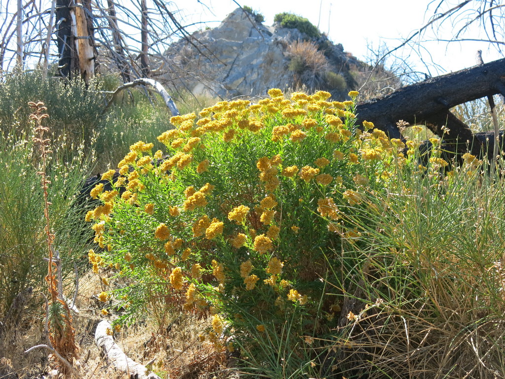
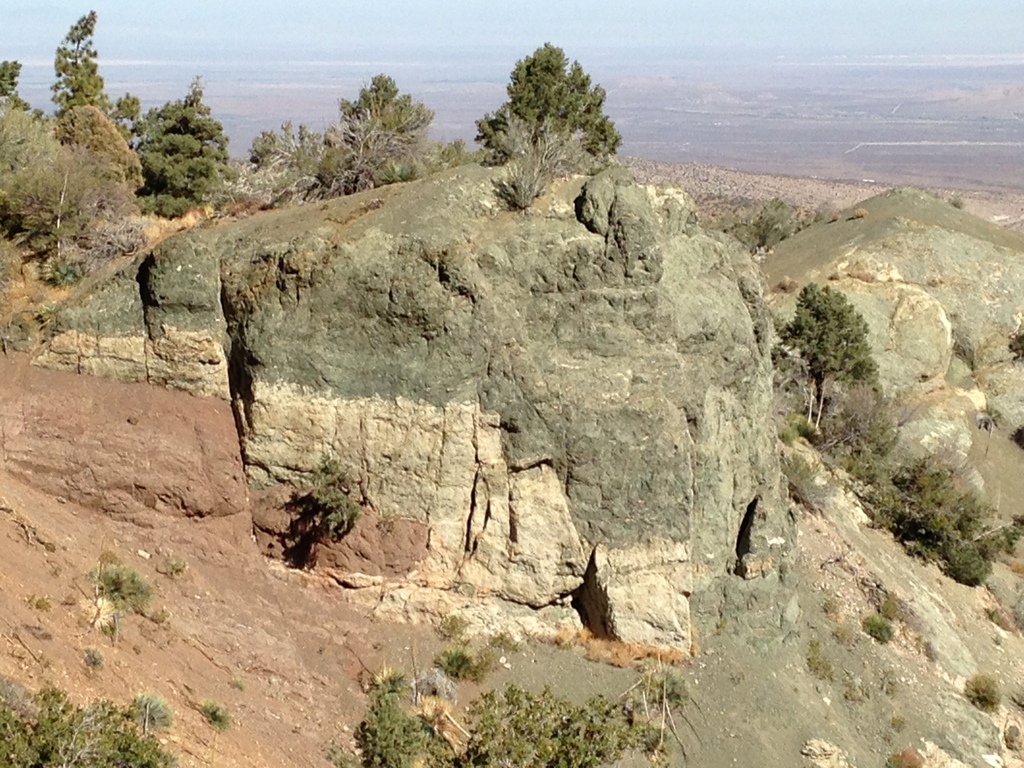
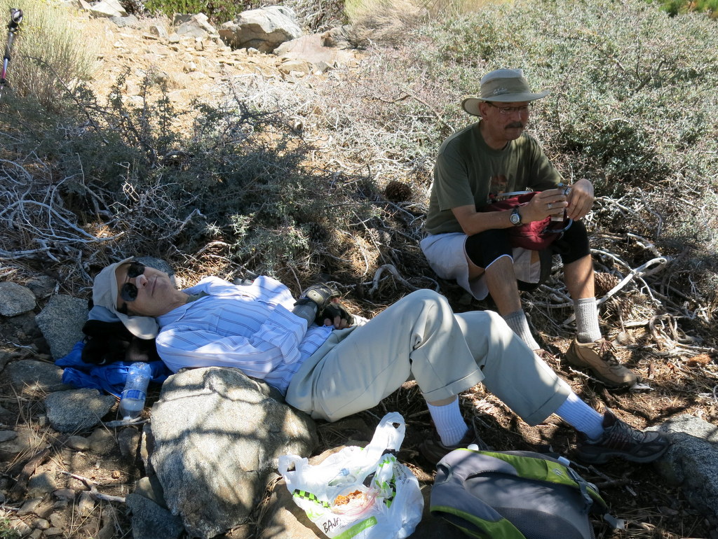
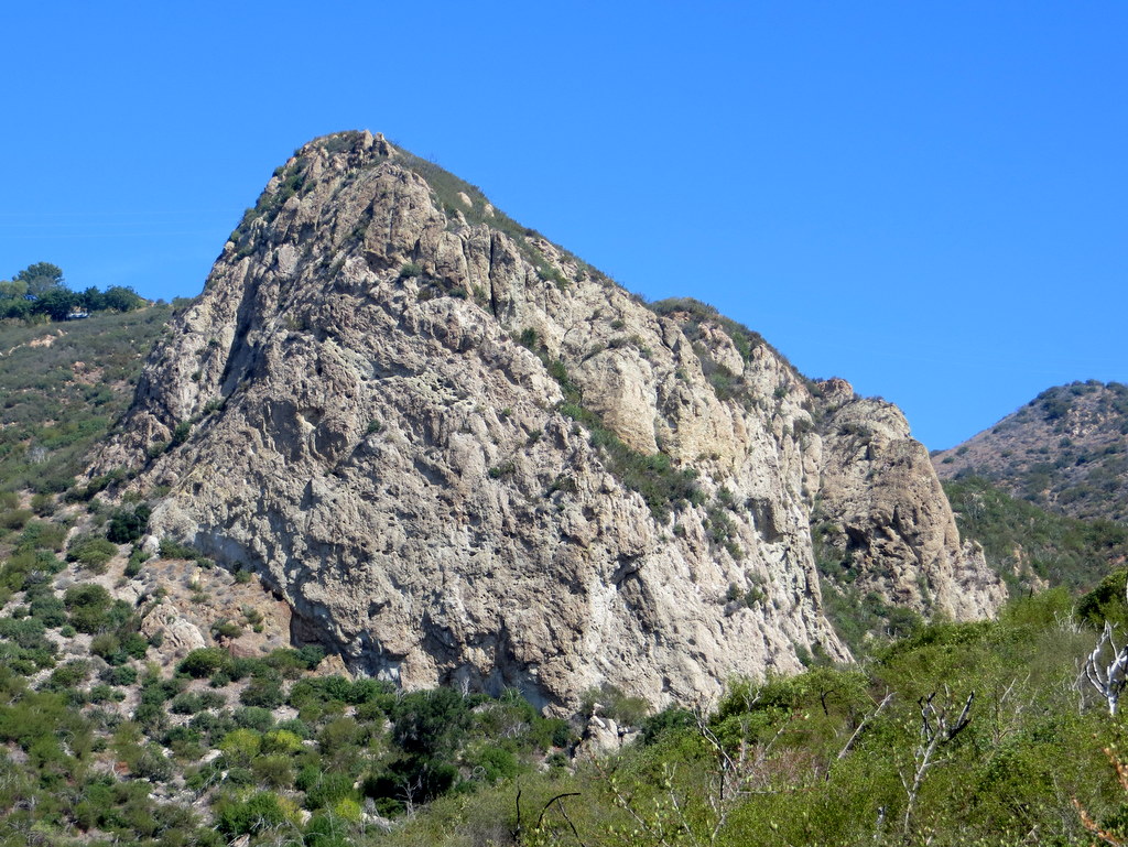
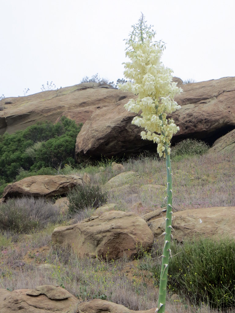
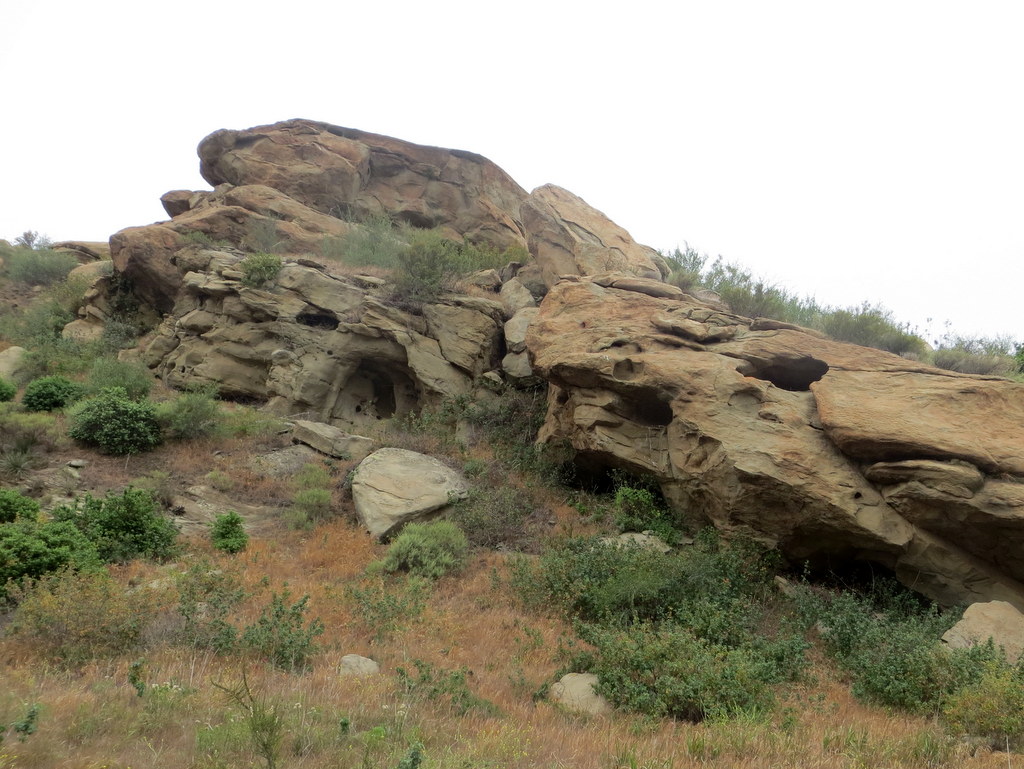
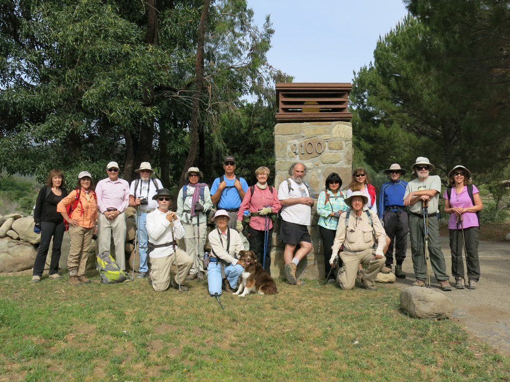
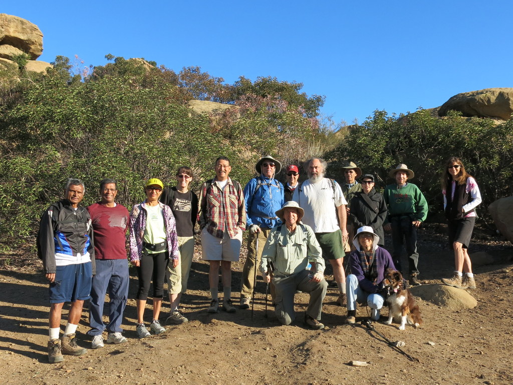
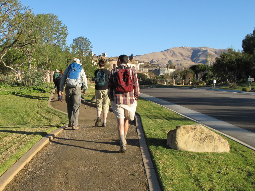
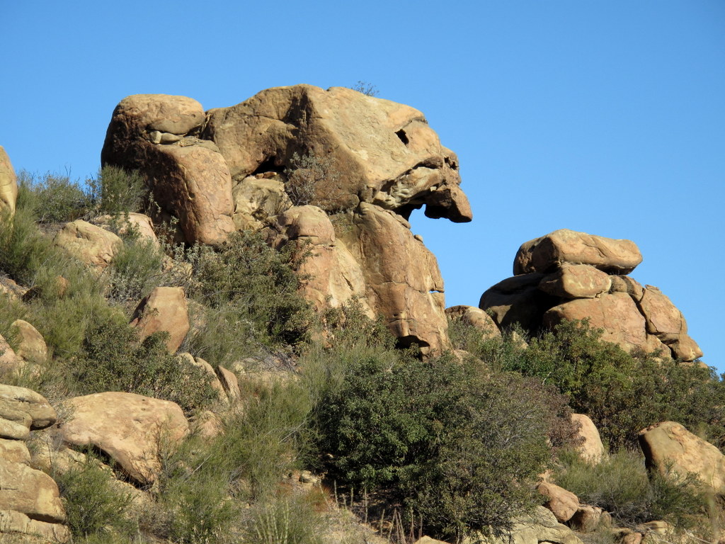
January 4th – Sage Ranch
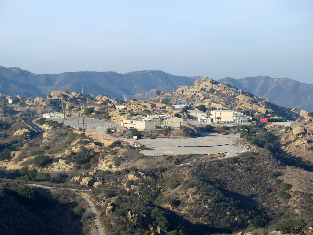
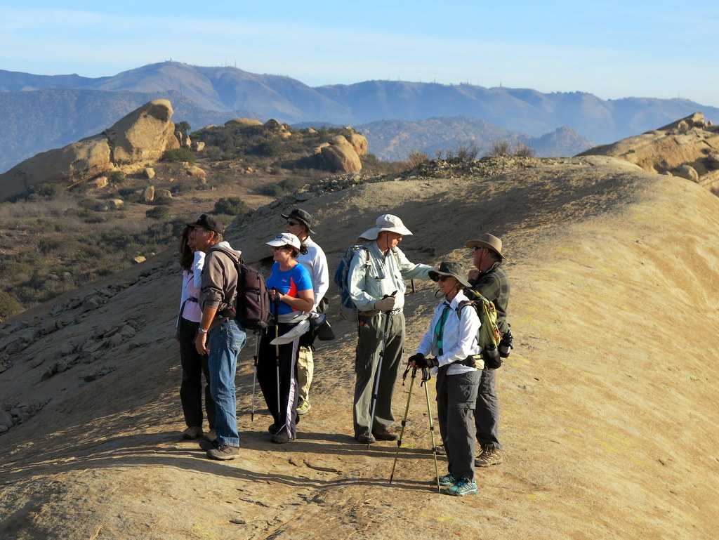
24 hikers arrived at the parking lot in Sage Ranch Park in the Simi Hills on a pleasant winter morning. The 625-acre park is located just north of the Santa Susana Field Laboratory (SSFL) (aka Rocketdyne/Boeing) at an elevation of 2,000′. It is chock-full of world-class sandstone rock formations and has lots of picnic tables shaded by large oak trees. Shortly after we began our hike, we were rewarded with views of the east end of Simi Valley and the mountains to the north. We explored some side trails and then climbed up on Sandstone Ridge, a long, steep rock formation rising alongside the trail on the west side; it afforded us with excellent views of the once-bustling SSFL. The effects of the continuing drought were evident on the parched flora in the area. All too soon, we completed our short, but invigorating, post-holiday stroll (3.3 miles with about 500′ of elevation gain).