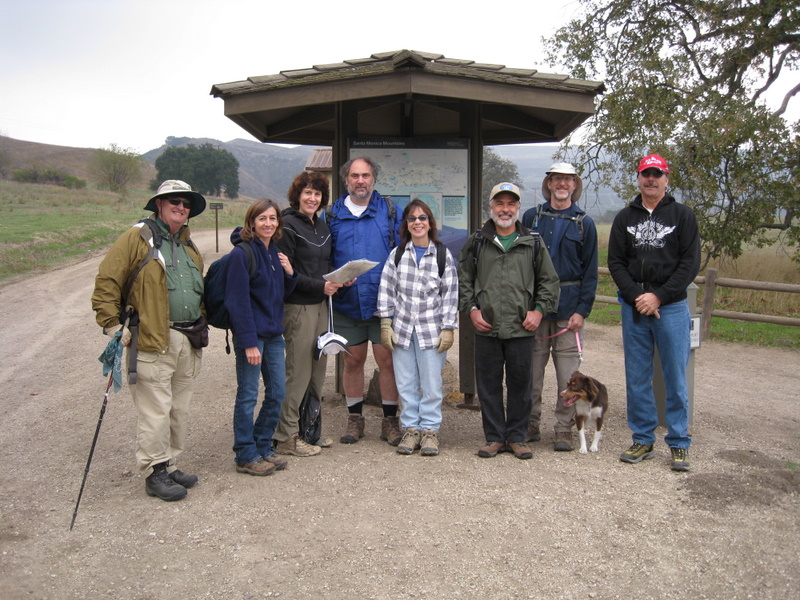
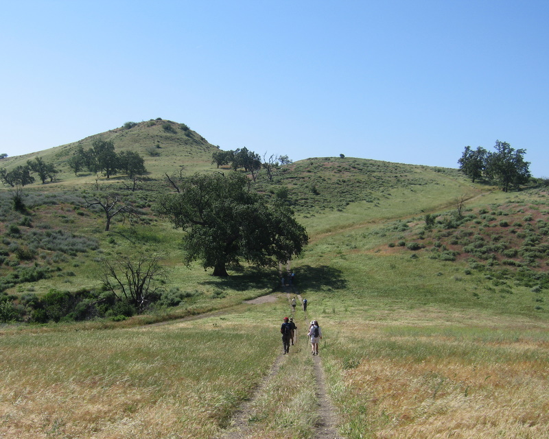
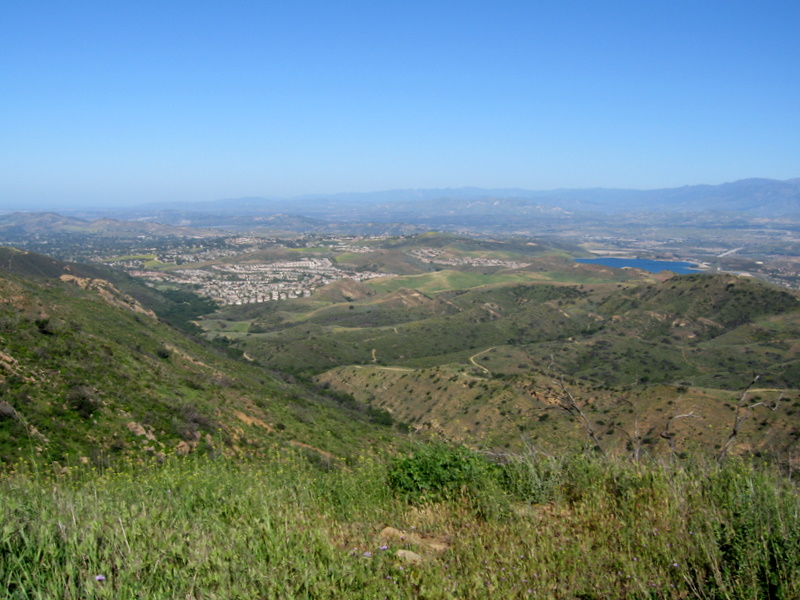
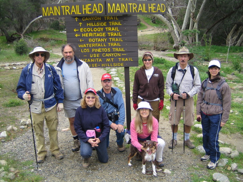
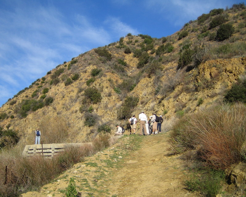
December 27th 2008 – Happy Camp Upper Trail Loop
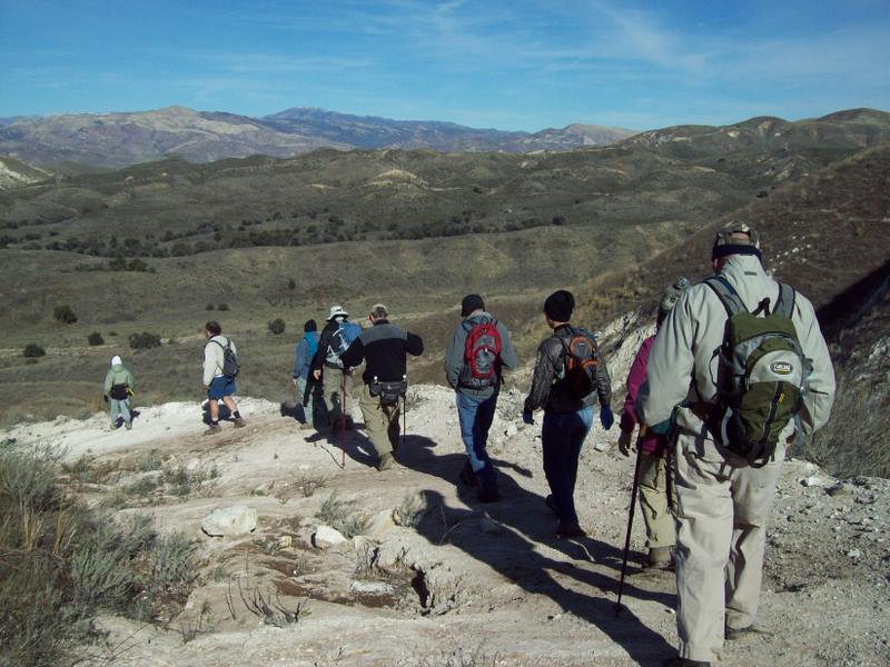
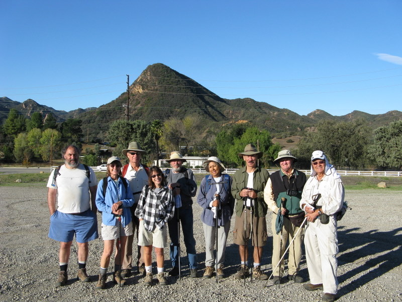
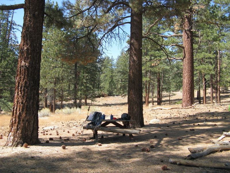
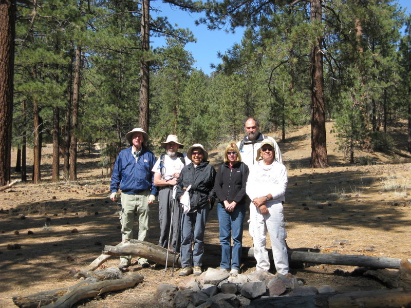
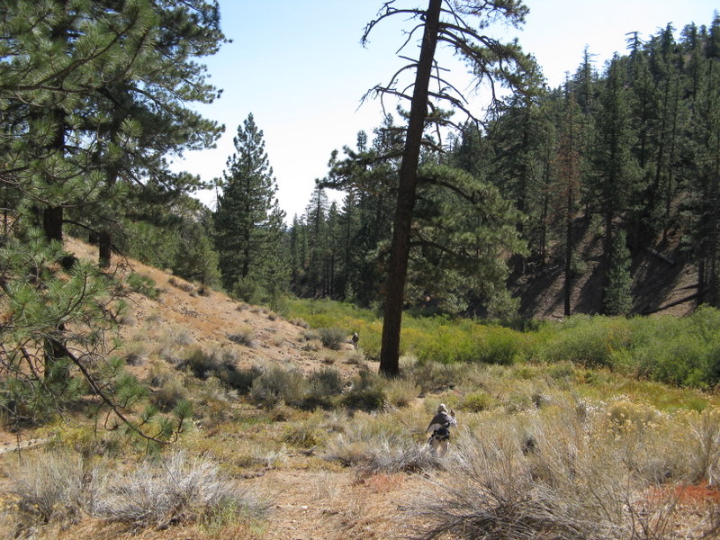
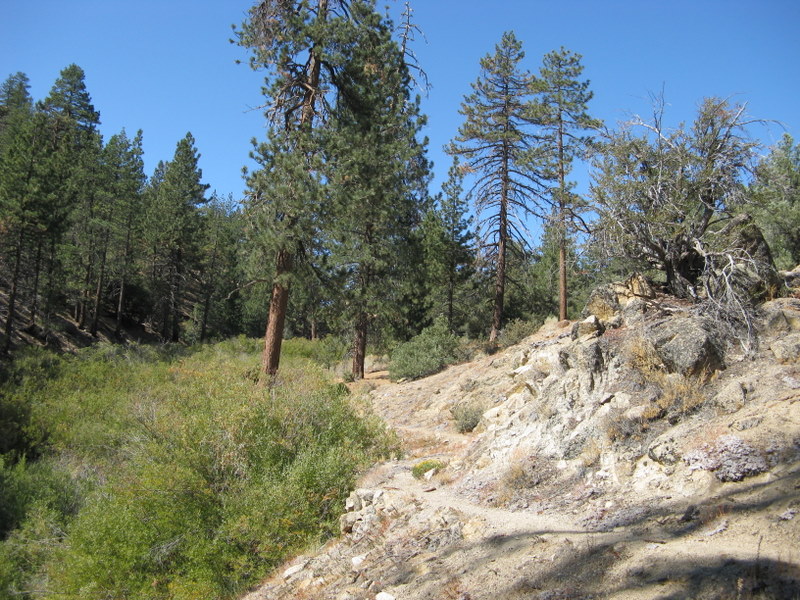
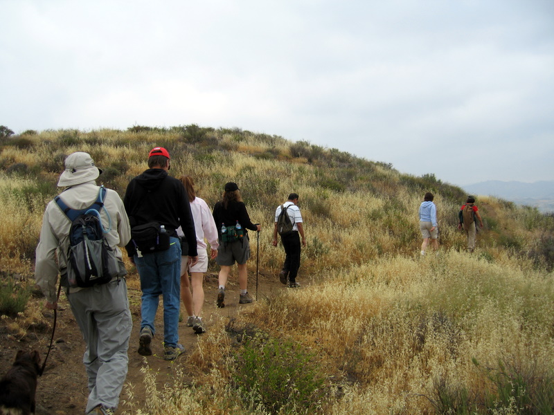
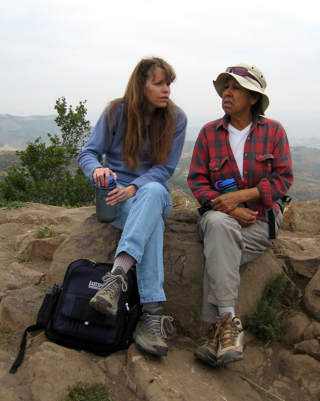
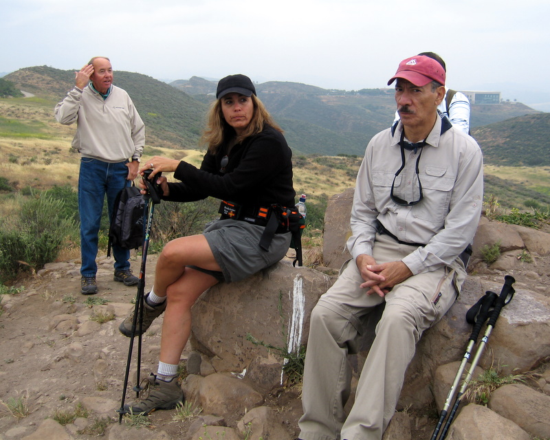
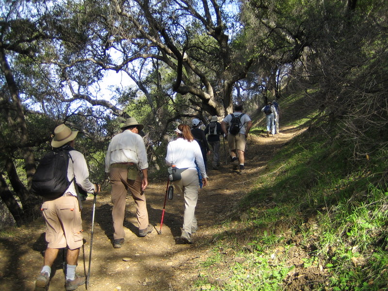
Twenty five of us hiked the 11 mile loop through Happy Camp today. When we met at Donut Delite, it was cold and calm. Once we all assembled at the Broadway trailhead, the weather was cold, clear and very windy. The elevation gain, ascending the ridge, provided good a workout and kept us warm. As we gained elevation, were rewarded with great views of the Pacific. At times it seemed like we could reach out and touch Santa Cruz and Anacapa Islands. Descending back into the canyon, at the far end of the loop, was a welcome relief from the winds above. We shared lunch at the picnic tables near the Mower Memorial Trail Rest and then hiked down and through the Canyon back to our cars. It was the perfect hike to finish up 2008.
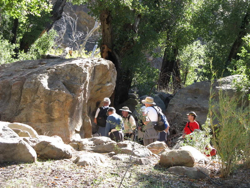
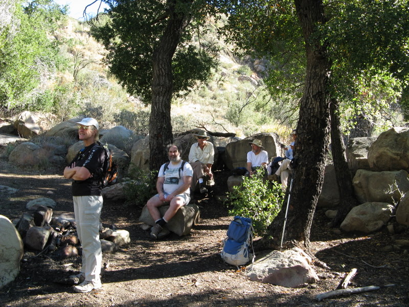
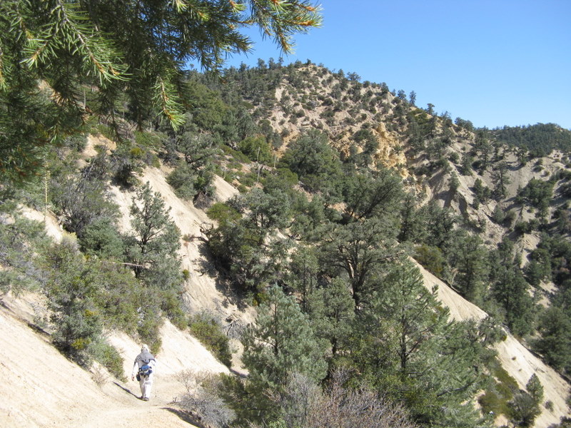
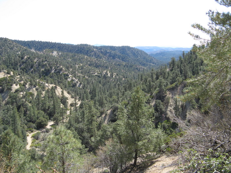
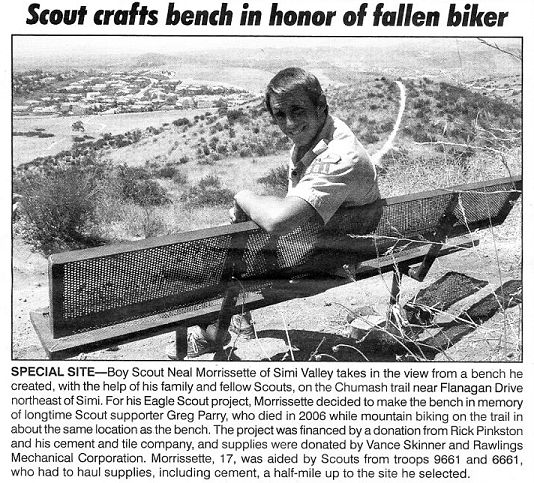
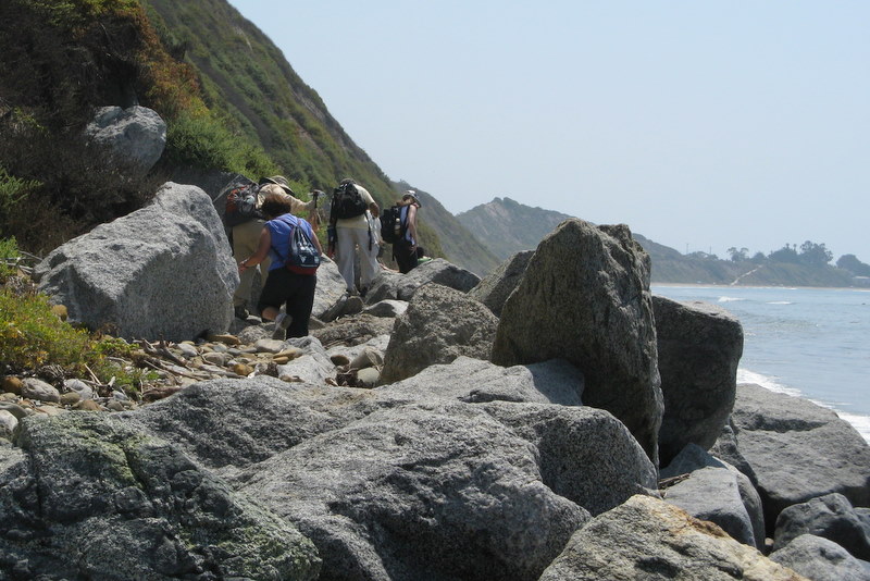
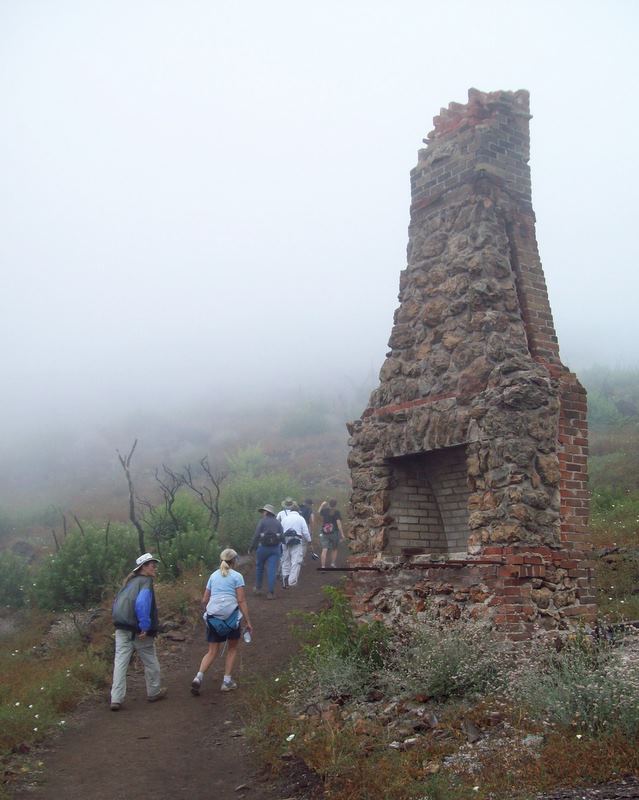
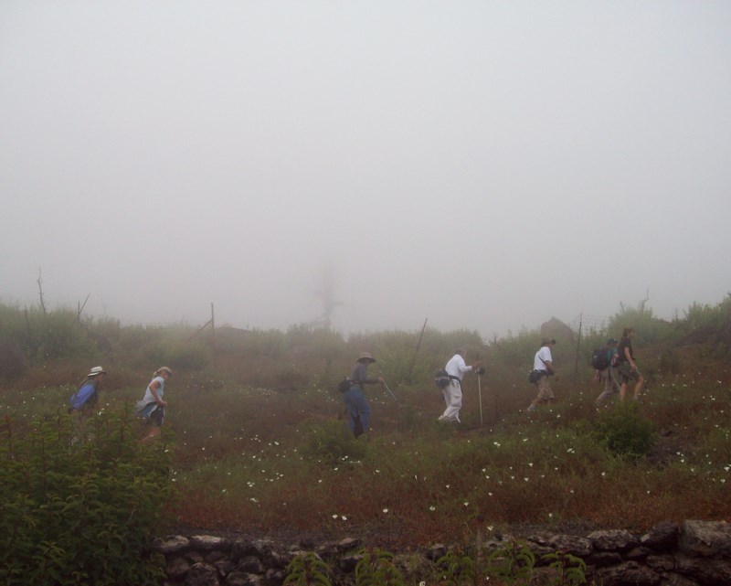
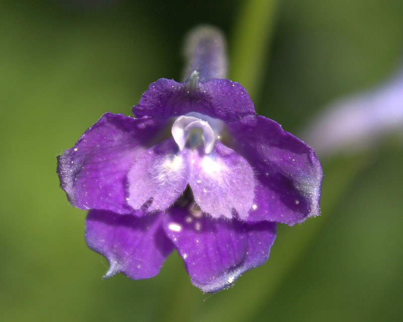
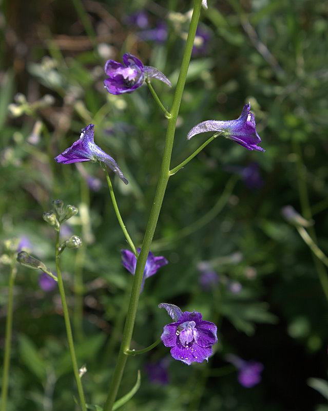
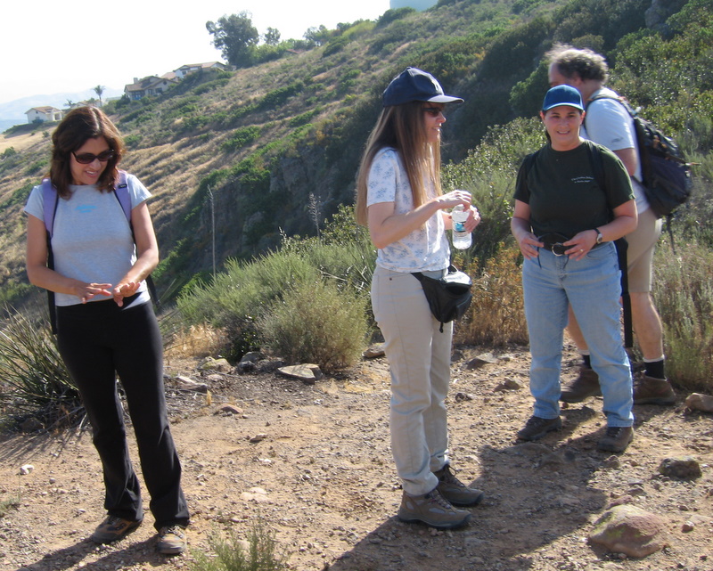
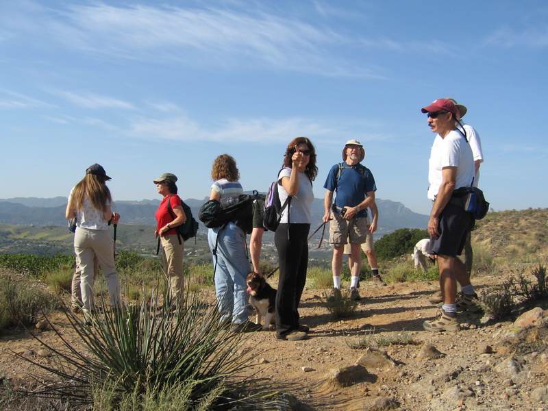
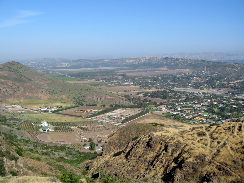
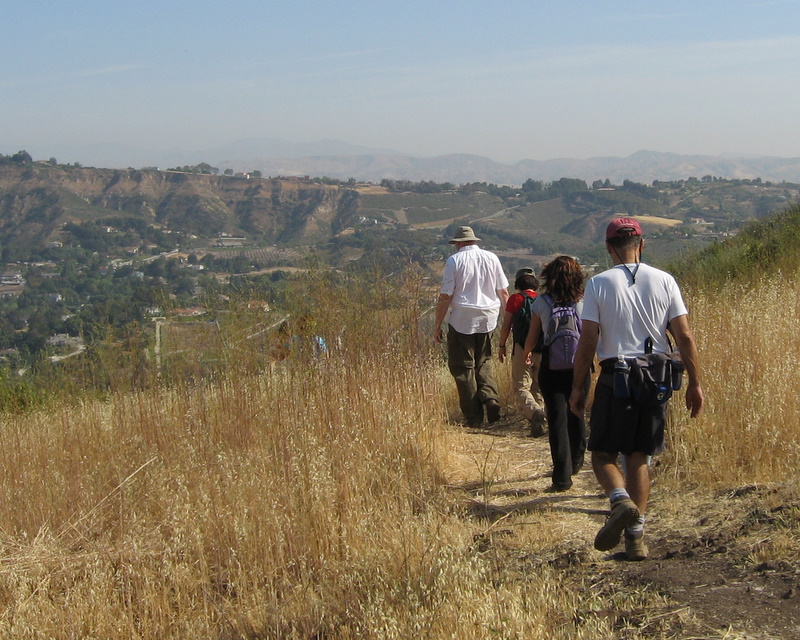
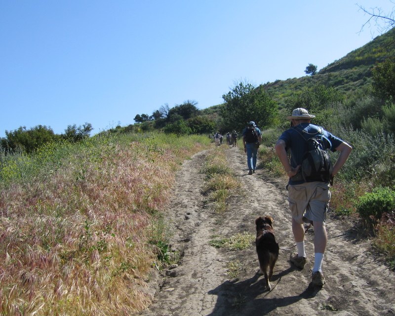
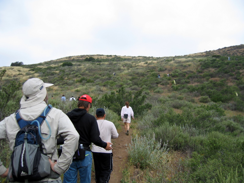
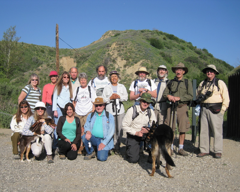
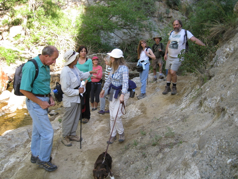
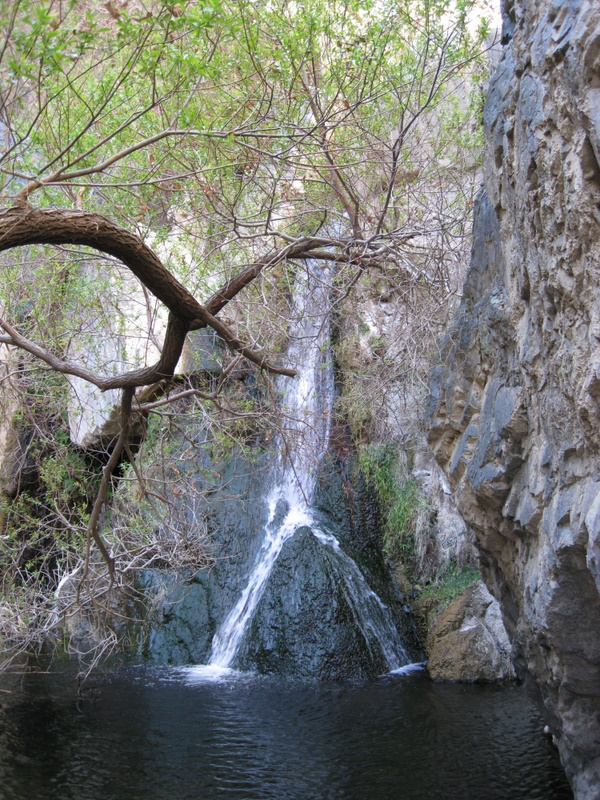
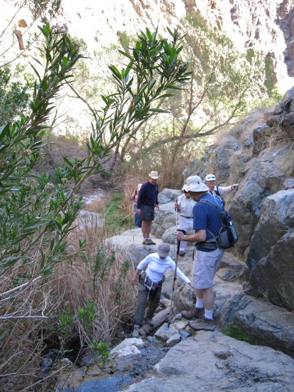
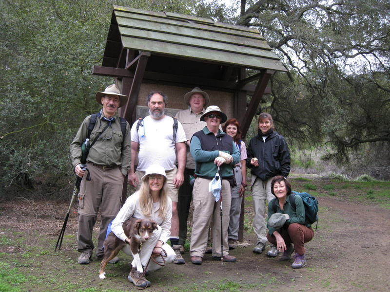
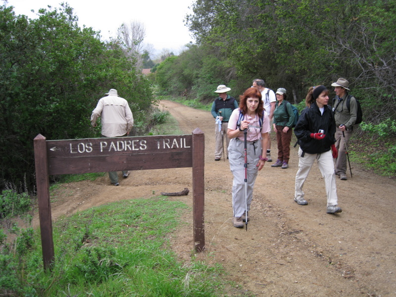
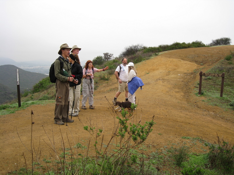
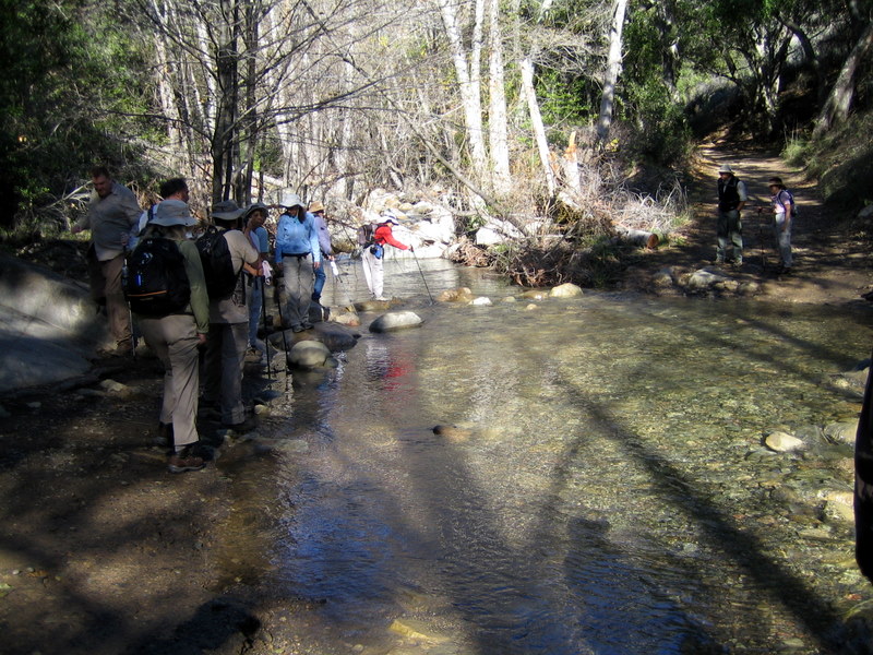
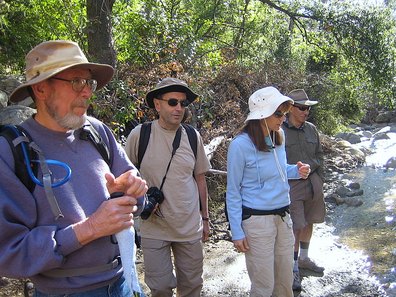
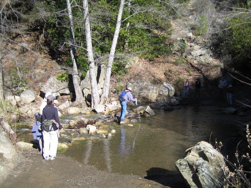
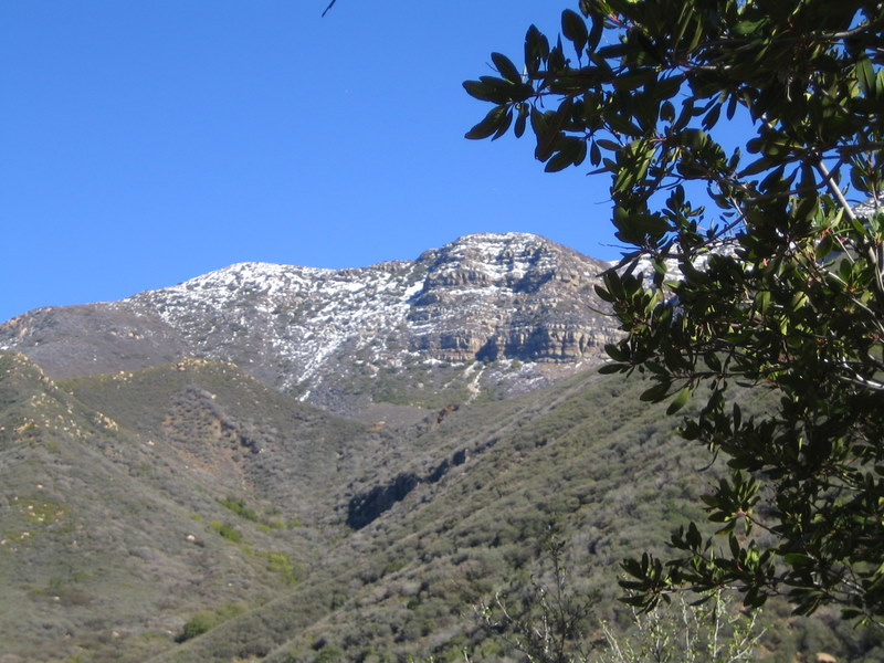
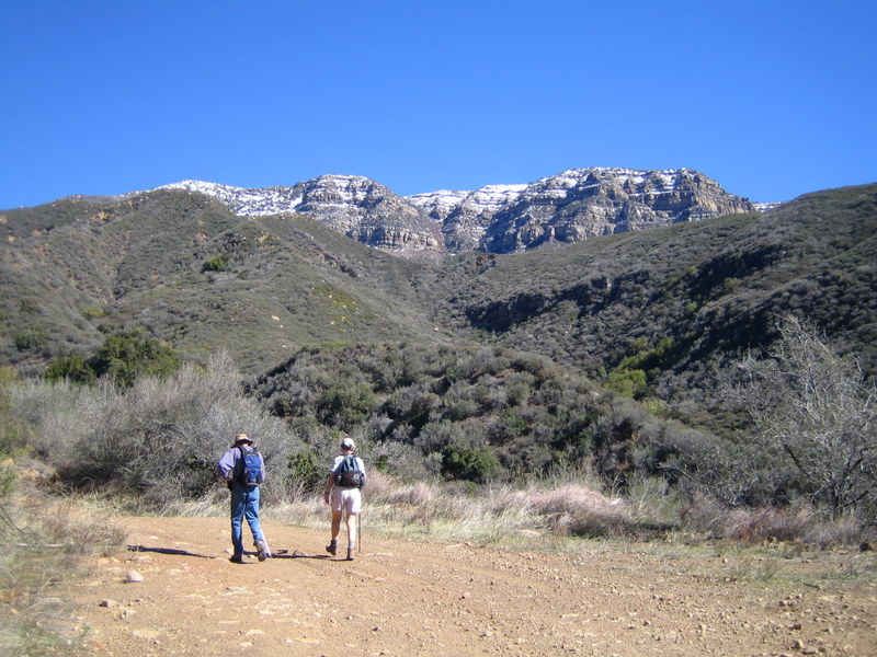
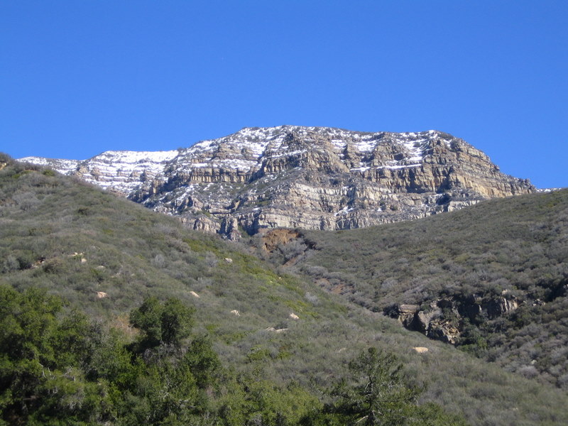
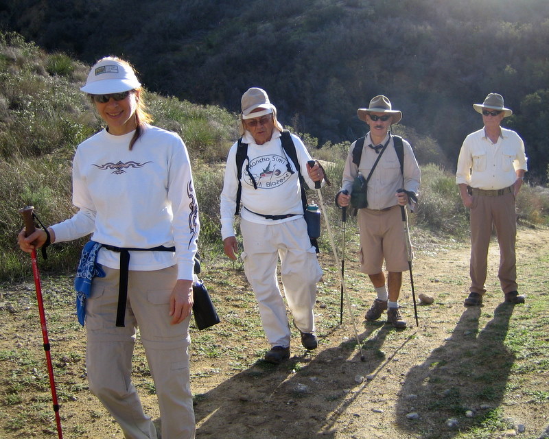
December 18th 2008 – The Chumash Trail
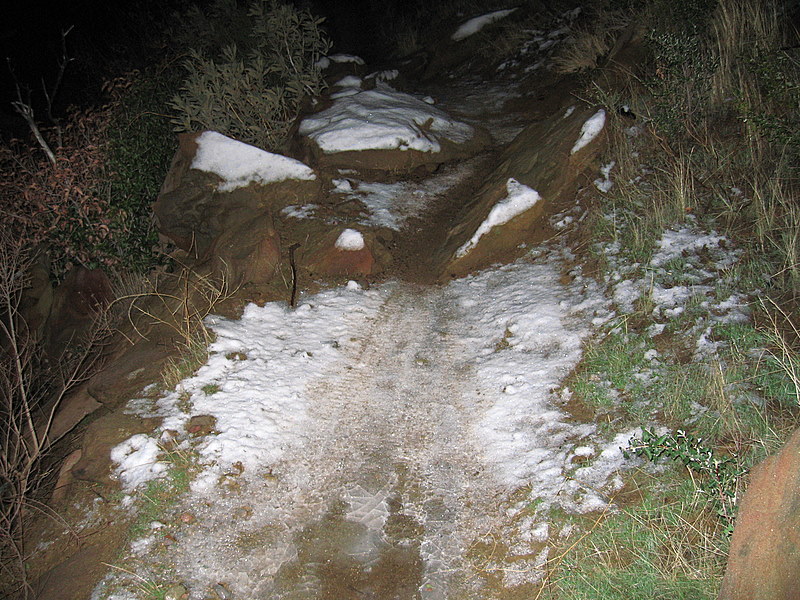
There was snow and ice, near the top, on tonights hike. [Thanks much for the picture, John.]
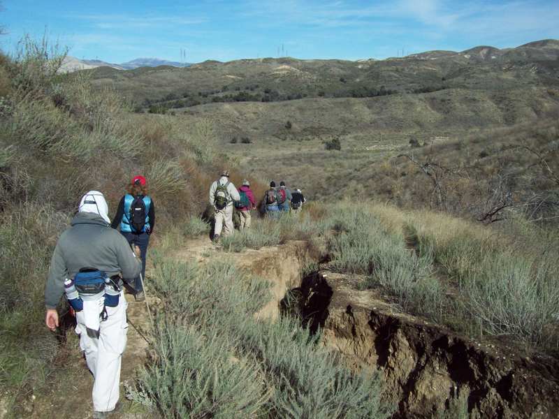
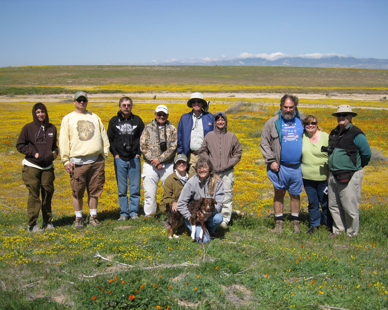
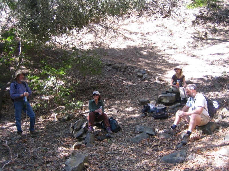
December 13th 2008 – Chesboro Canyon / Palo Comado Canyon Loop
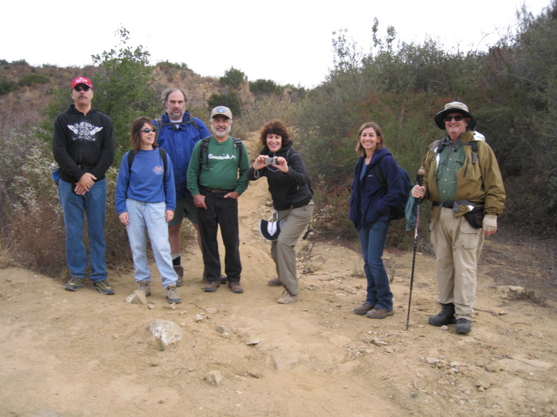
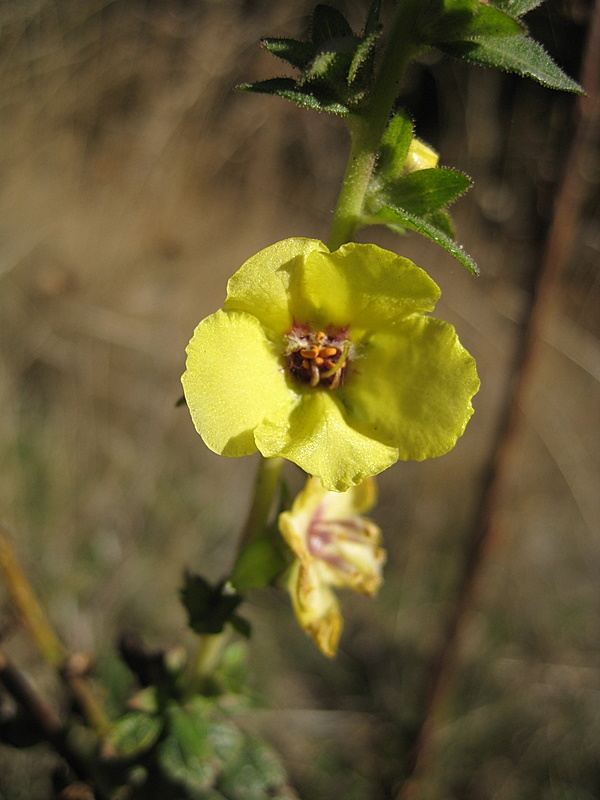
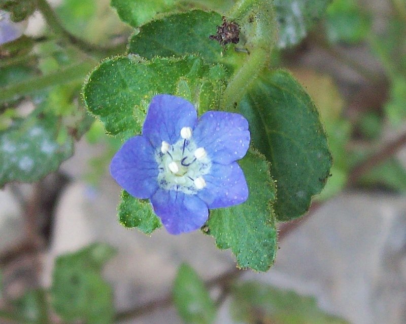
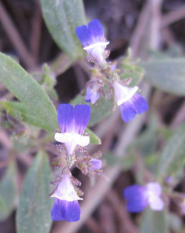
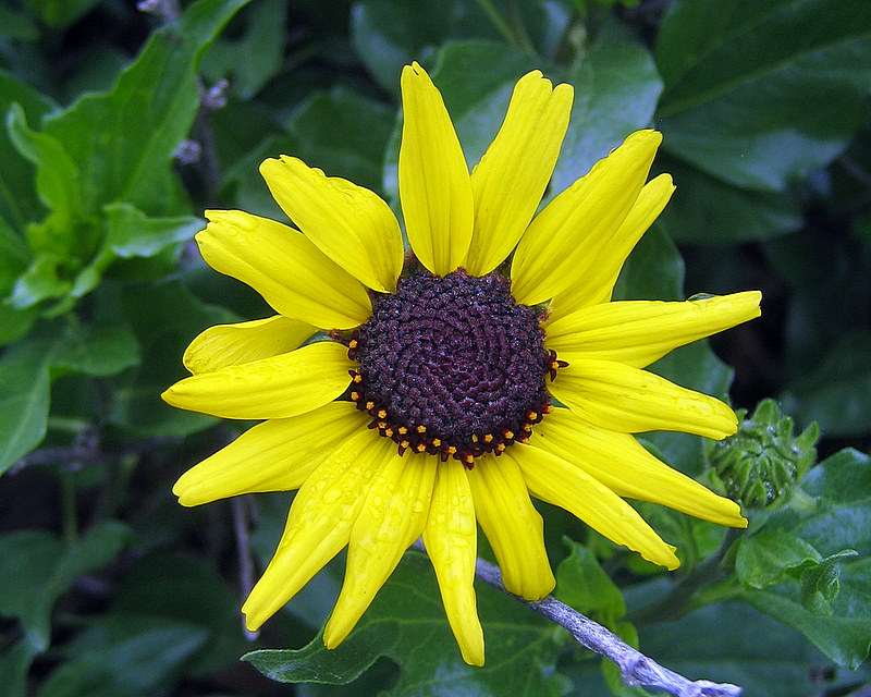
Eight intrepid Trailblazers completed the 10.3 mile loop today. The Doppler radar showed no precipitation, yet there was drizzle on the way to donut Delite. We decided to take our chances and drove to the trailhead. The hiking weather could not have been better. About half way through the hike, we enjoyed wall-to-wall sunshine. As long as we kept moving, it was comfortably warm. This year, we decided to do the loop in the reverse direction, so we could be done with all the hills after the first half of the hike. We enjoyed the slight and steady 4.5 mile down hill return trip back to the trailhead. Much to our surprise, there were a few wildflowers in bloom where there was spring or creek drainage.
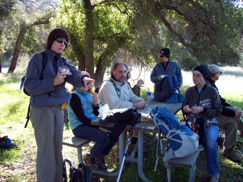
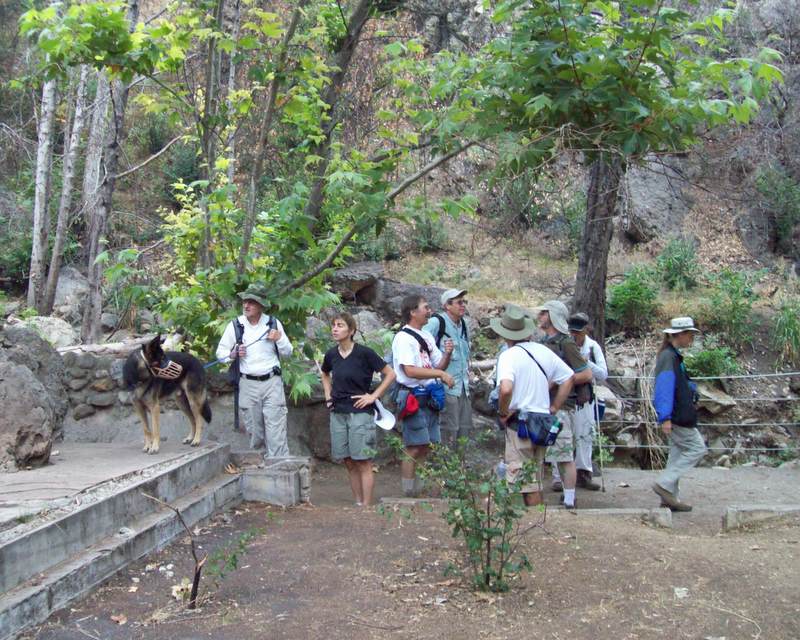
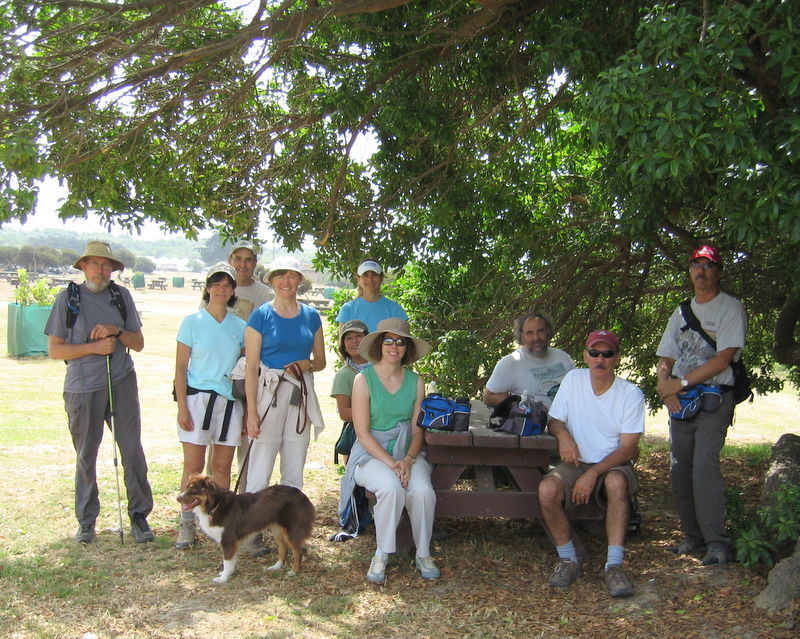
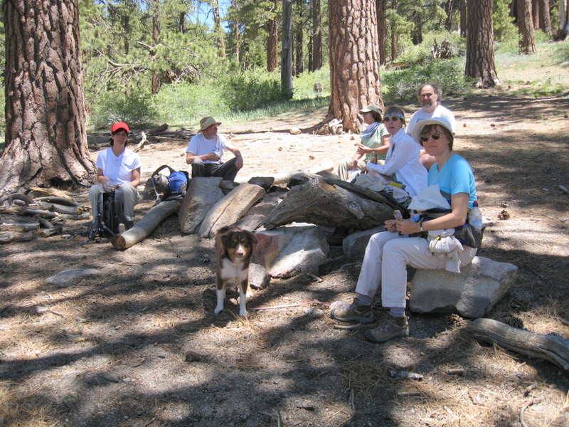
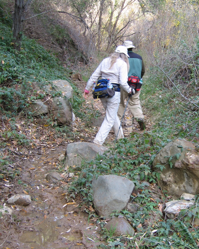
December 6th 2008 – Malibu Creek State Park
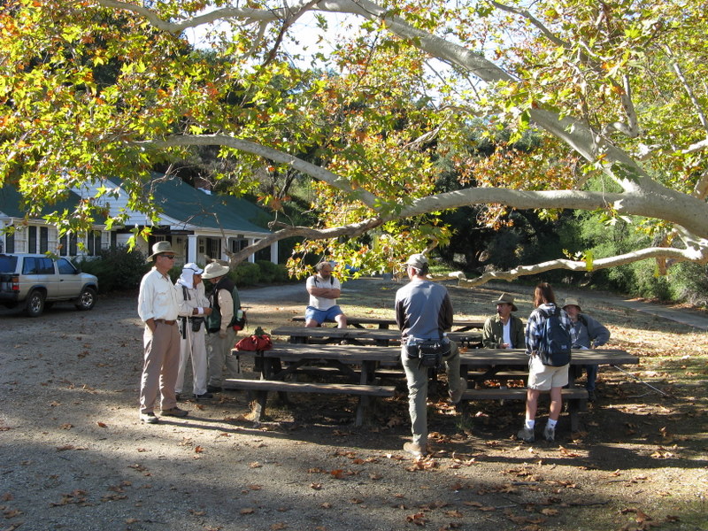
Thirteen enthusiastic Trailblazers participated in an invigorating 8.2-mile hike with over 900’ of elevation gain on the west side of Malibu Creek State Park. It was cool and crisp and the sky was a beautiful blue as we began the hike near park headquarters (the old Ronald Reagan Ranch house) along the Yearling Trail which, thanks to the recent rain, was bordered by new, bright green shoots of grass. We then ascended the shady Lookout Trail to a high point that afforded a view of the eastern portion of the park. As we descended to Crags Road (which runs through the park from east to west), we had breathtaking views to the south of Century Lake and the surrounding mountains. Next we hiked eastward to the Visitor Center and took a break at a group of nearby picnic tables shaded by towering oak trees. There were quite a few ducks apparently wintering in Malibu Creek near the bridge. After the break we followed the Gorge Trail to the Rock Pool, a large pool of water with a backdrop of towering rock walls. After lingering for a little while we hiked to the south end of Century Lake near the dam. Leaving there we hiked to the M*A*S*H television series site further upstream; the site stirred bittersweet memories of the escapades of the 4077th Mobile Army Surgical Hospital’s zany cast of characters. One could almost see and hear the helicopters coming in for a landing over the nearby mountains. We left this imaginary little bit of South Korea and retraced our path to the Forest Trail which we followed for its half-mile length along the south side of Century Lake. This beautiful trail is shaded by a variety of trees including towering conifers (which one would not expect to see at this elevation); there are even ferns growing along the trail. Retracing our steps we reluctantly left this trail’s leafy embrace and headed over to the Cage Creek Trail which led us uphill to the Yearling Trail. We then climbed up to the Deerleg Trail and followed it’s shady up-and-down path westward to the Reagan Picnic Area (two picnic tables located among the trees beside the trail) and then returned to our trusty motor vehicles (including Roger Steffen’s large motorcycle).
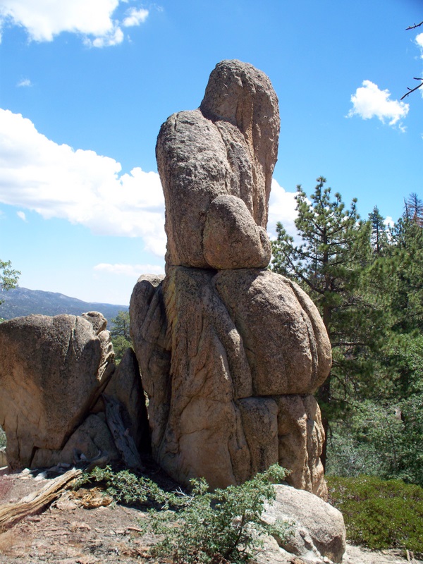
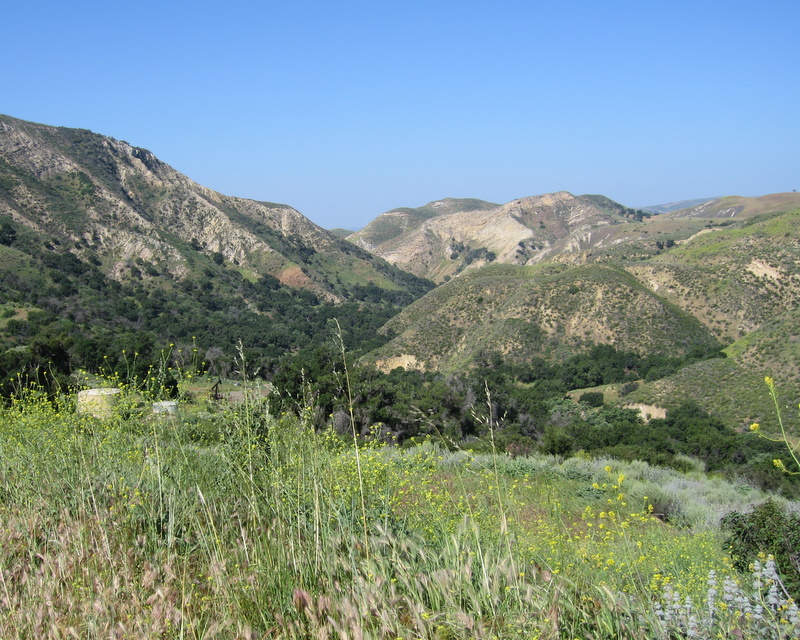
November 29th 2008 – Piedra Blanca Formations
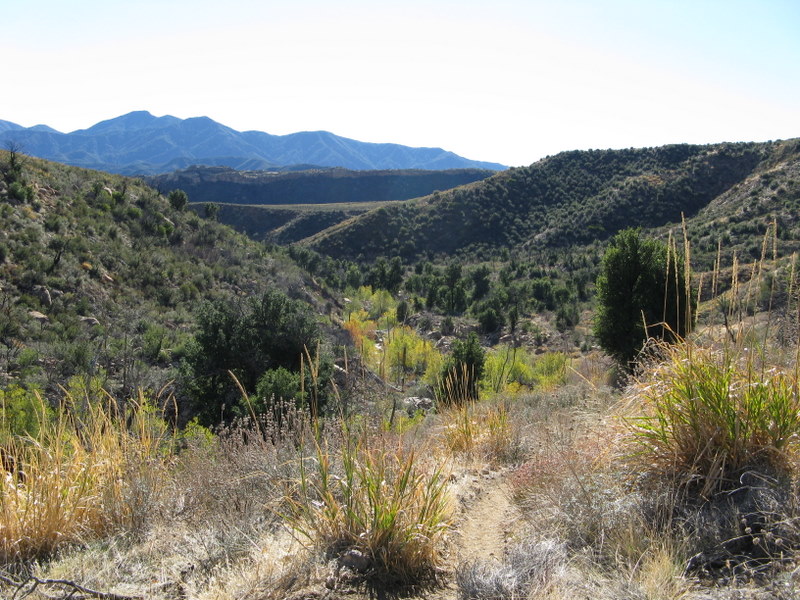
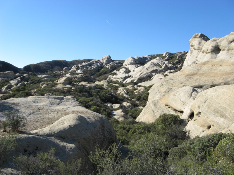
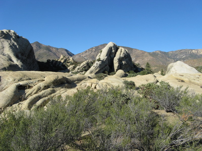

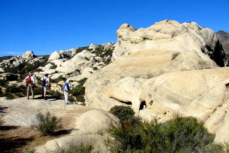
After a long, but very scenic drive through Ventura, Ojai, and the Wheeler Gorge, twelve eager Trailblazers arrived at the trailhead parking lot in Rose Valley. The trail was new to most of the hikers, so there was great anticipation. Shortly after the 7-mile round-trip hike began, the trail crossed Sespe Creek, the main watercourse in the southern Los Padres National Forest; it empties into the Santa Clara River in Fillmore. The trail entered the Sespe Wilderness as it climbed the chaparral-covered slope to the magnificent Piedra Blanca (white rock) Formations — huge, white rounded sandstone outcroppings sculpted by wind and water. It then descended to Piedra Blanca Creek and followed it upstream to Piedra Blanca Camp, then to Twin Forks Camp (the turnaround point). Large conifers provided shade along the creek which gurgled pleasantly downstream. After a leisurely picnic lunch the hikers returned to the trailhead for the drive home, their anticipation fulfilled.
November 1st 2008 – Santa Paula Canyon
Seven people (Mike Kuhn, Roger Steffen, Bart Hibbs, Effie Stantzos, Ron Slifka, a woman whose name I don’t remember, and I) showed up for this morning’s hike – six at the carpool point, plus Ron at the trailhead. We decided to drive the trailhead and make a final decision there. We encountered a real downpour with thunder and lightning on the way to the trailhead. That plus concern about possible [flash] flooding in Santa Paula Canyon caused us to decide to cancel today’s hike [and not to try an alternate hike]. Instead we returned to Simi Valley and had a leisurely breakfast at IHOP. We all agreed that the silver lining in the cancellation is that we really need the rain [as opposed to fire, mudslides, earthquake, etc.].
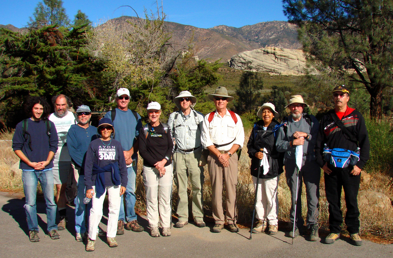
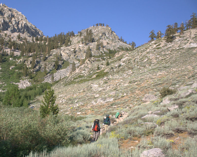
October 11 2008 – Camp Three Falls to Lilly Meadows
Seven eager-to-hike Rancho Simi Trailblazers carpooled to Boy Scout Camp Road in Lockwood Valley (11.5 miles southwest of Frazier Park, CA) and drove to the locked vehicle gate at Camp Three Falls (5,500’). It was a crisp, clear morning (~40 degrees F) as we prepared to begin hiking. However, we warmed up quickly once we were underway, hiking westward on the North Fork Trail along a dirt ranch road that led through the foothills of the nearby mountains. The initial sage scrubland was quickly replaced by towering conifers and a variety of interesting rock formations as the trail followed the North Fork Creek. Two miles into the hike the dirt road ended and we reached a fork in the trail; the left fork led a short distance to a large waterfall (that was nearly dry). The right fork led fairly steeply upward via switchbacks until we were higher than the waterfall; the trail then resumed its journey along the creek as it rose toward its source above Lilly Meadows. The vegetation along the creek became denser; conifers on both slopes continued to provide shade. As the trail neared Lilly Meadows (6,600’), the view expanded and we caught sight of the campground – and a picnic table! We rewarded ourselves for completing the first half of the 6.5-mile (round-trip) hike by eating lunch in the beautiful conifer-sprinkled setting. After we finished eating, the wind picked up and we began to be chilled, so we quickly began the downhill trek to our cars. The return trip afforded a different perspective, but the views were just as enchanting. We all agreed that it had been a very enjoyable hike.
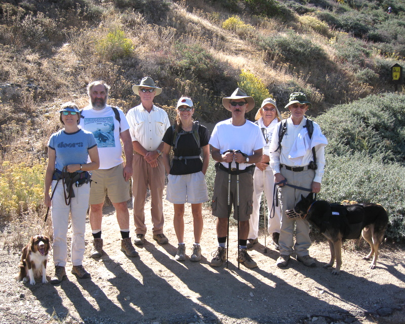
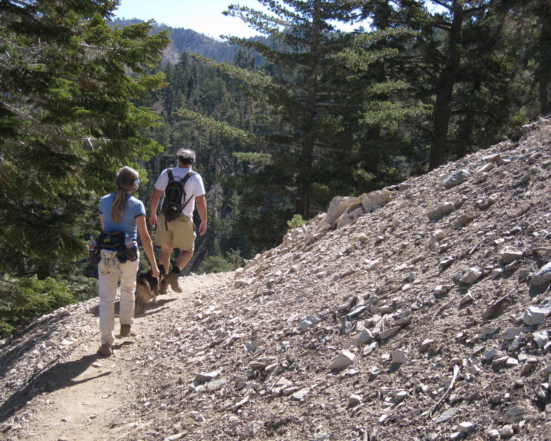
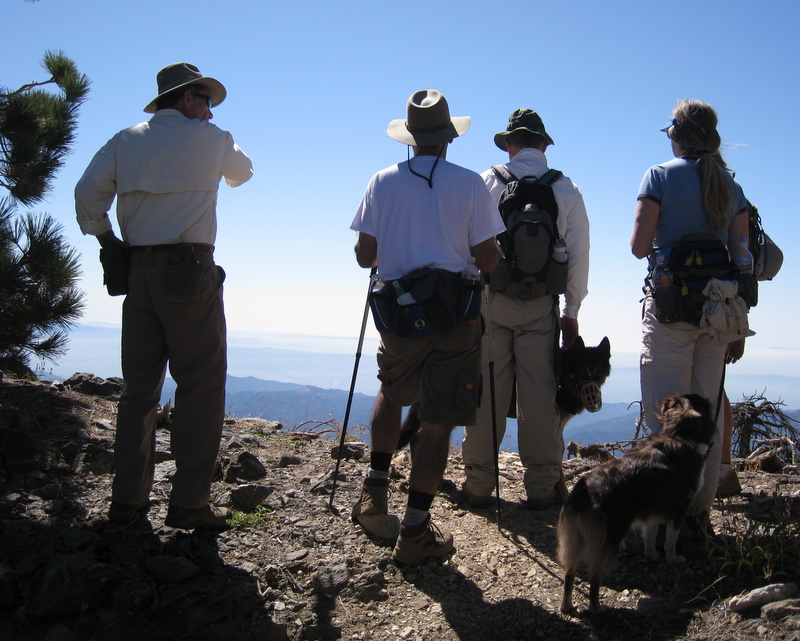
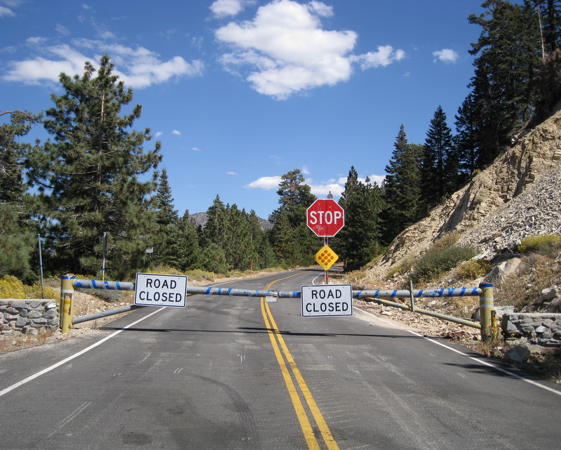
September 27th 2008 – Mt. Islip
Here’s the official word from Caltrans:
SR 2
    [IN THE SOUTHERN CALIFORNIA AREA]
    IS CLOSED FROM ISLIP SADDLE TO 5 MI WEST OF BIG PINES (LOS ANGELES CO) -
    DUE TO STORM DAMAGE - MOTORISTS ARE ADVISED TO USE AN ALTERNATE ROUTE
Fast forward three seasons, and we find the road still not repaired, so the actual Mt. Islip trailhead is not accessible via SR 2. A one-mile connector trail is now the only way to get to original trailhead. Not letting a simple road closure get in the way of a good hike, eight intrepid Trailblazers, with two trusty dogs, drove almost 40 miles up SR 2 and set out on a most enjoyable hike. At 8,250′, the Mt. Islip temperature stopped just short of 70 degrees. It was perfect hiking weather and the views were spectacular. This was quite a contrast to the 98 degrees in the Valley on the drive home.
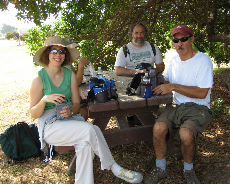
September 6th 2008 – Bicycle Ride – Ventura River Trail
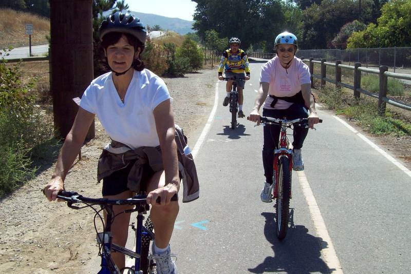
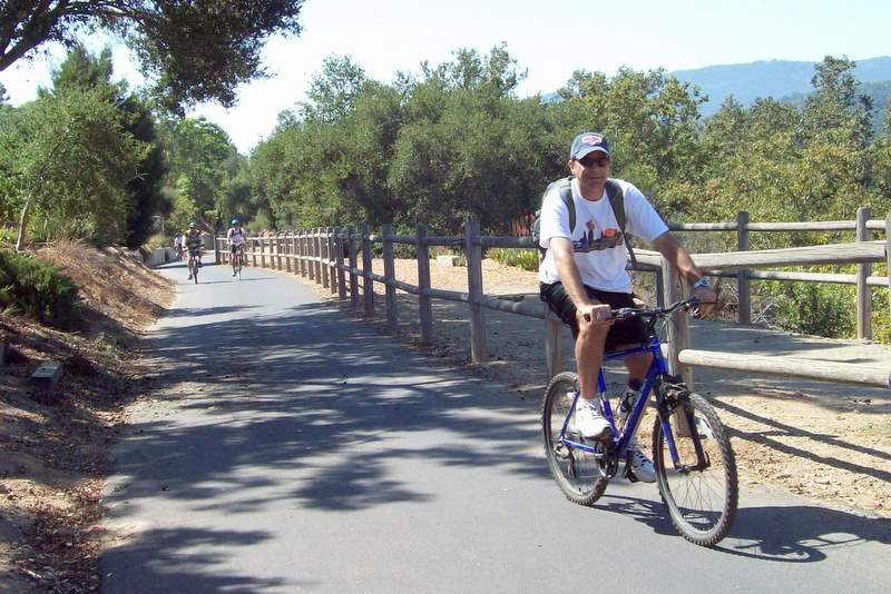
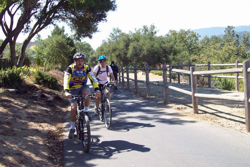
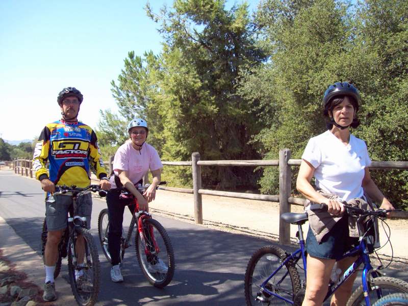

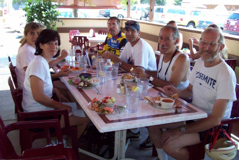
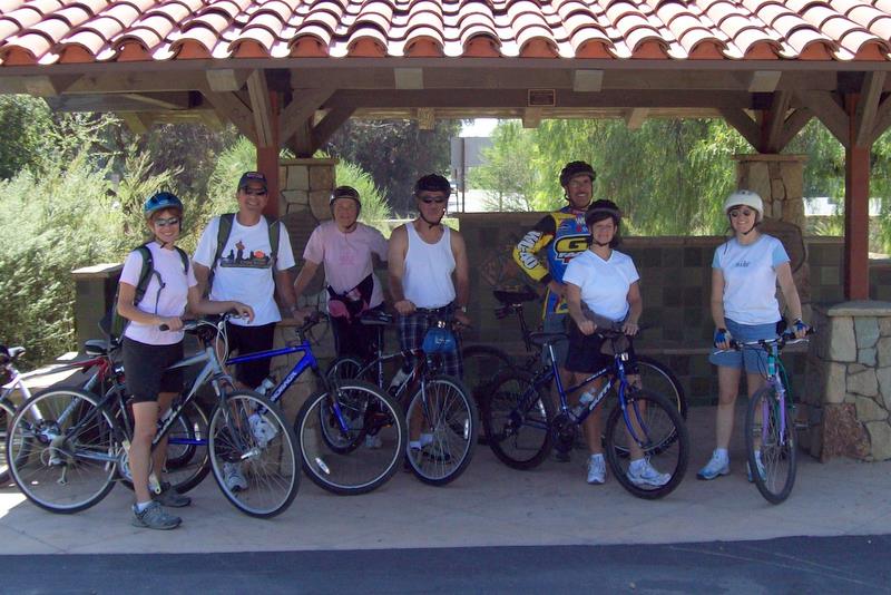
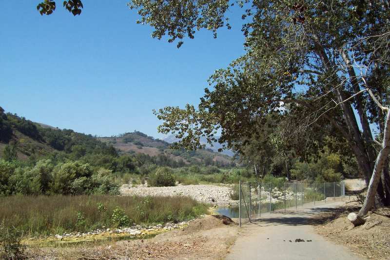
Yes it’s true. The Trailblazers went on a bicycle ride. In the “About Us” section of our website, the very first line reads: “The Rancho Simi Trail Blazers is a volunteer organization of outdoor enthusiasts consisting of bikers, equestrians, hikers, and naturalists.” It looks like we still have other areas yet untapped. It’s so good to try something new and we all had a most enjoyable ride.
Eight of use rode a total of 31.2 miles, from downtown Ventura to downtown Ojai. The Ventura River scenery varies from riparian splendor to what looks much like a toxic waste dump. If we ride the same trail in the future, the section between downtown Ventura and Foster Park, is best avoided.
So, see you on the trails and the bicycle paths too.
September 5th 2008
Simi Acorn.
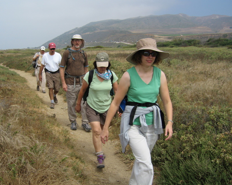
August 23rd 2008 – Sycamore Canyon Shuttle
Fifteen bright-eyed-and-bushy-tailed Rancho Simi Trailblazers met at the Wendy Drive/Potrero Road trailhead for a nine-mile one-way hike through Big Sycamore Canyon to the beach at Sycamore Cove. It was a mild, somewhat foggy morning as the hike began. Our first stop was the Satwiwa Culture Center (its most popular feature was its indoor plumbing!) and the still-being-constructed Chumash Village. We soon headed south down into the canyon along the fire road that runs its entire length. The fog gradually dissipated and the sky was a beautiful cerulean [blue] color dotted with puffy white clouds. There was much interest in the various trails that intersected the fire road, particularly where they led and what loop-hiking opportunities might be available. Red and green poison oak grew abundantly along the east side of the fire road. It looked very Christmas-like, but we kept a respectful distance from it. As we drew nearer to the Sycamore Canyon campground, bike-rider and hiker traffic increased considerably as many other people also enjoyed a late-summer outing. We crossed under the Pacific Coast Highway to the beach and made our way to a couple of picnic tables with a view of the ocean. After a leisurely lunch we got in our three car-shuttle vehicles and returned to the trailhead, then home. Everyone agreed that it was a pleasant way to spend half a day (while getting some needed exercise).
August 16th 2008 – Carpinteria Bluffs
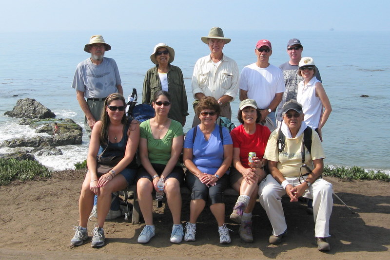
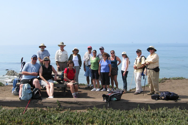
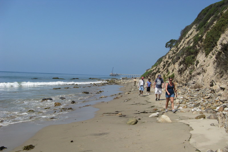
15 hikers, all eager for a today at the beach,participated in today’s 5-mile hike from Rincon Park along the Carpinteria Bluffs (overlooking the ocean), past the Seal Sanctuary, and then to Tar Pit Park (the turnaround point) also overlooking the ocean. While there we spotted a fisherman (on the beach) who had just reeled in a small shark (which he returned to the ocean alive). The return trip led past the Seal Sanctuary again and then down to Bates Beach for a leisurely two-mile stroll beside the ocean back to Rincon Park. It was a mild day (in the low-to-mid-seventies); there were quite a few surfers and other beachgoers near each end of our hike. The Seal Sanctuary harbored no seals while we were there. However, we spotted quite a few of them out in the ocean (their heads were visible). Apparently their recent offspring have grown to a size that enables them to join the rest of the rookery on fishing expeditions. It was a pleasant, leisurely hike a great way to spend a Saturday morning.
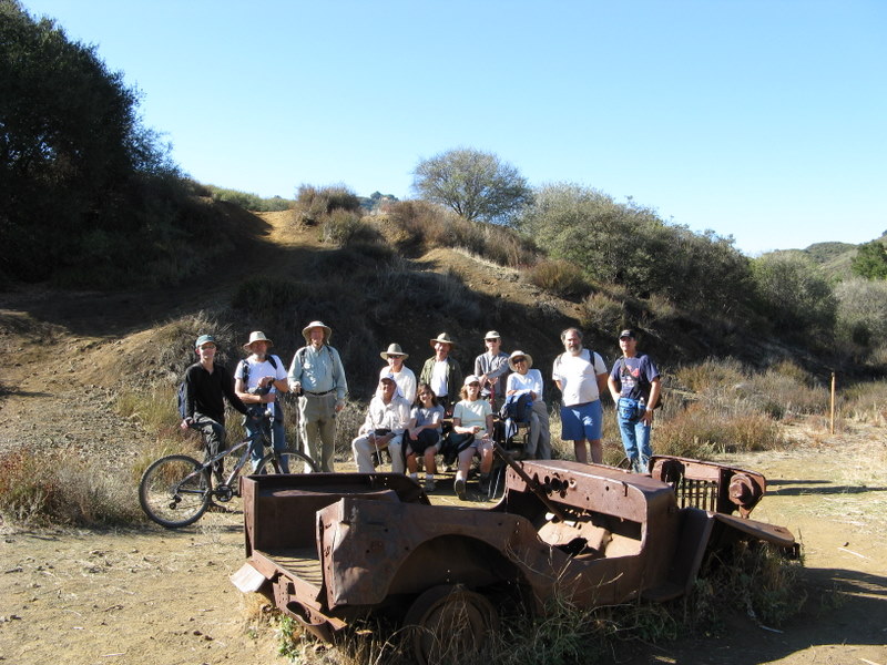
August 12th 2008 – Long Canyon
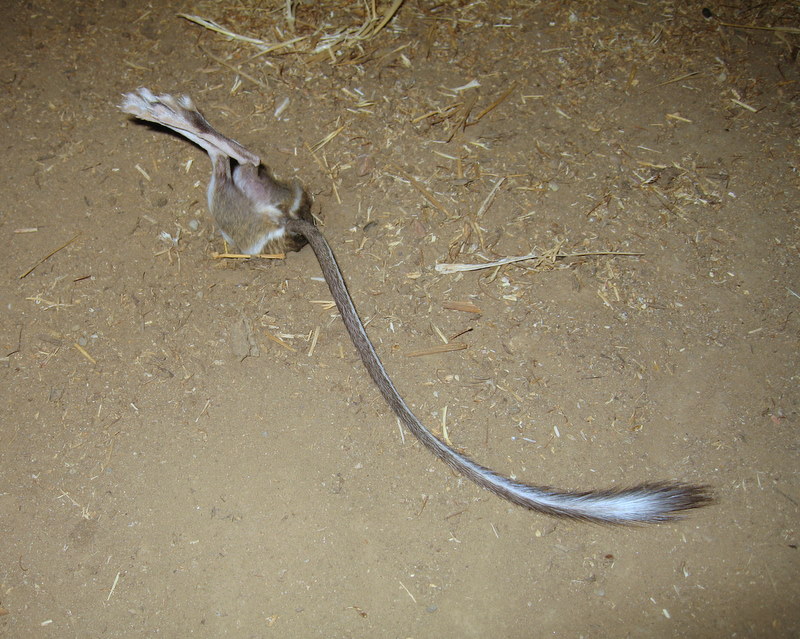

On the home stretch, we startled a kangaroo rat, so it scampered to the closest refuge: a nearby shallow hole. We tried to carefully extract the poor critter from the hole, but with no success. He was doing his best to embrace his inner ostrich. I hope he lost his fear when we left and found a suitable burrow. It would be a shame if he met his end as a coyote snack.
August 8th – 10th 2008 – Big Bear Weekend
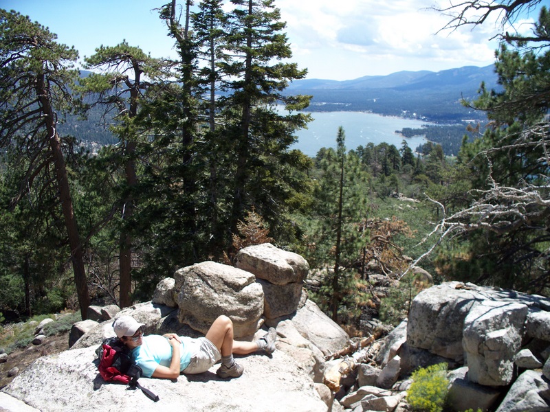
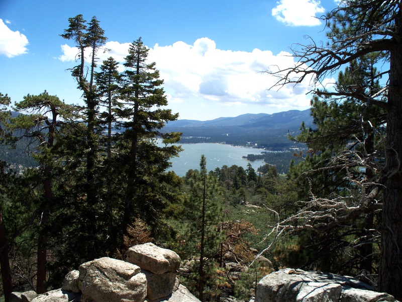

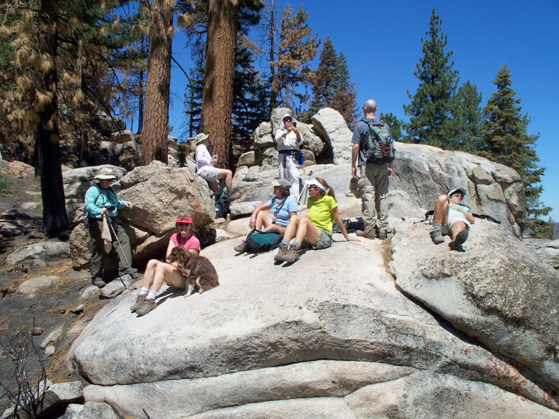
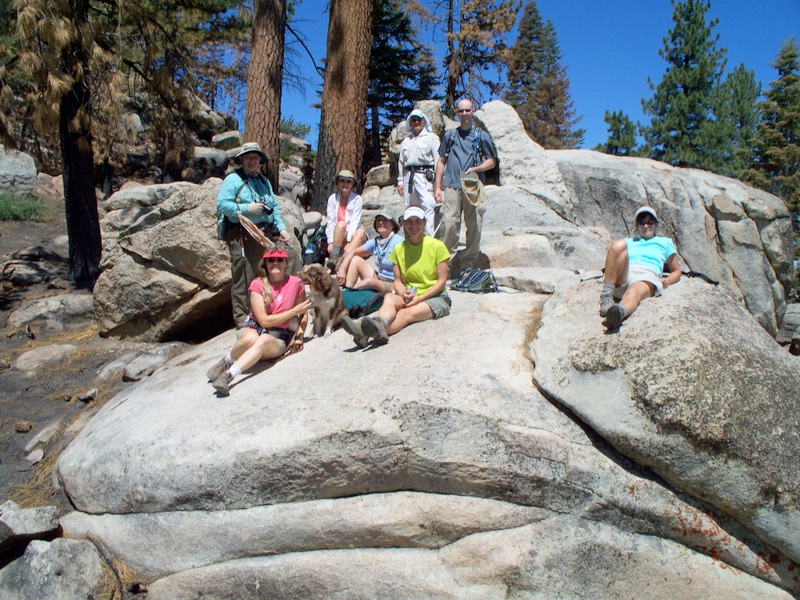
With all the 210 and 30 freeway construction complete, the drive to Big Bear now takes less than two and a half hours. Most of us arrived Friday morning and hiked the little known “Towne Trail”, connecting the Snow Summit Mountain Resort and downtown Big Bear Lake. The evening faire included dining downtown at Boo Bear’s. There were ten us: Bonnie Bouley, Effie Stantzos, Rafael Zepeda, Eli Kashman, Betty Cameron, Mary Ann Campbell, Mike Kuhn, Bill Cespedes, Carol Tucker and Mark Gilmore. Last, but not least was Heidi, the Miniature Australian Shepherd puppy.
Saturday morning, we scaled Grey’s Peak (7,920′ – 1,200 elevation gain). Although the Forest Service lists this hike as 6 miles round trip, it’s actually 7.5 miles. Near the end of the hike, the temperature climbed to about 78 degrees, but at elevation, and exposed to the direct sunlight, it felt much warmer. By the time we got back to our cars, we were hot and tired. About two miles into the hike, we traversed a large section of burn area from the devastating Green Valley Fire the previous year. The peak afforded spectacular views of the Big Bear area and an opportunity to rest up for the trip back down the mountain.
There was an antique car show in town, and ice cream too. The ice cream was calling our names, so some of us braved the crowds and enjoyed two scoops of ice cream’s proven medicinal properties. Who needs a real lunch when the cure is so close? Some fine cars were on display, but the streets were closed and there was almost standing room only, so it was great to get outta town that afternoon. That same evening, we dined at B’s Bar-B-Que on the lake, only to go back to Mike’s condo and find even more opportunities for high calorie intake. So much for losing any weight on this tripà
Sunday morning we hiked the Pineknot Trail to Grandview Point (7,784′ – 7 miles round trip – 1,400′ elevation gain). The weather was a bit cooler than the previous day, so the hike was more enjoyable. At Grand View Point, there was even a strong breeze. August is a busy time in Big Bear, so there was a lot of bicycle and nearby off-road vehicle activity. There wasn’t much solitude, like the previous day’s hike to Gray’s Peak. Still, it was an enjoyable hike with fine views highlighted by late season wildflowers
Thank you, Mike, for your hospitality and for sharing your condo with us…
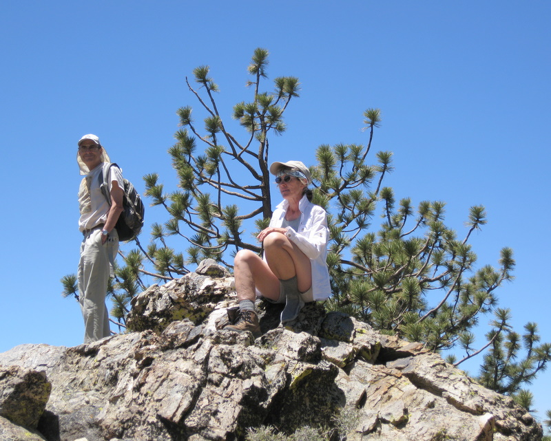
July 26th 2008 – Mt. San Jacinto
There were 10 hikers (including me) in our group on Saturday (July 27th). The hikers were Roger Steffen, Doug and Margarita Marsh, Bonnie Bouley, Effie Stantzos, Paul Nemeth, Rafael Zepeda, Margaret (Peggy) Park [a Sierra Club member who met us at the tram and hiked with us], Eli Kashman, and me. It was a nice day for hiking; quite a bit of cloud cover and the temperature was mild during the hike (it was even chilly at times as we climbed higher and the wind gusted). Roger took a few group photos near the Ranger Station at the beginning of the hike. We were “carded” by a couple of forest rangers before we reached Round Valley; we passed the test. A sign at the trail junction in Round Valley (where we took a short break) stated that the water that was available from a faucet needed to be filtered/purified before drinking it. Our group had sufficient water for the hike, so that wasn’t a problem, but I’m going to try to remember to take my water filter on this hike from now on (just in case). It’s always pleasurable to hike through a forest of conifers; this hike was no exception. We rested again at Wellman’s Divide; the view to the east was spectacular. As we continued our hike toward the peak, there were excellent views of the bowl-shaped valley we were hiking around. We could also see the tramway terminal in the distance and the desert and Mount San Gorgonio beyond it to the north. Since it was a summer Saturday, there were many day-hikers on the trail [which afforded many opportunities to graciously let them go by and catch a quick breath!]. We eventually reached the turnoff leading to Mount San Jacinto Peak and gratefully followed the trail up to a hut. From there a fairly short, but challenging scramble up a lot of large boulders led to the actual mountain peak and the panoramic views it afforded. After lunch, we retraced our steps to the tramway terminal and descended to our cars. Everyone was happy to take a load off his/her feet. Incidentally, the route we took to-and-from the Palm Springs area was Highway 118 to Highway 210 all the way to its eventual merging with Highway 10. A long section of Highway 210 was opened fairly recently; we encountered no heavy traffic on it. This hike (from one’s car in the parking lot at the lower tram station to Mount San Jacinto Peak and back to one’s car in the parking lot) is very close to 12 miles.
July 19th 2008 – Solstice Canyon
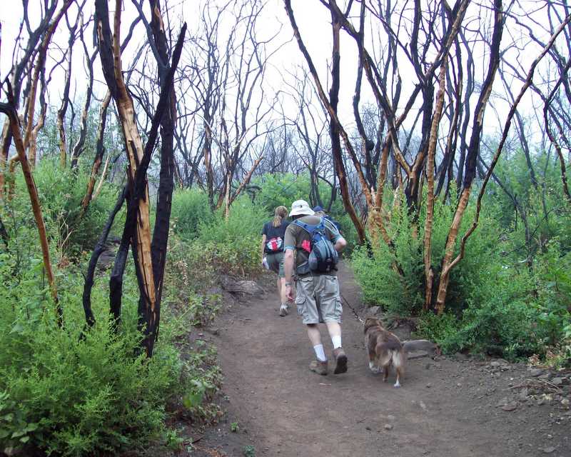
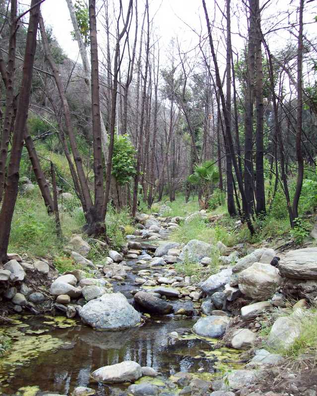
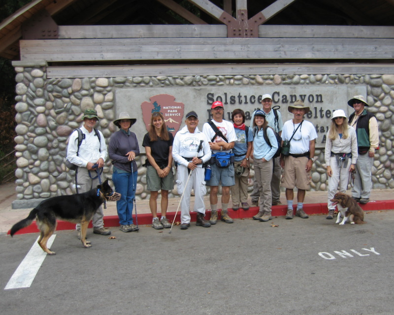
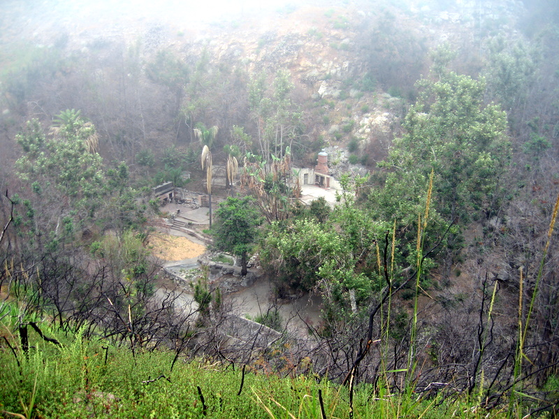
Twelve of us enjoyed the cool temperatures of Solstice Canyon this morning. The ever present fog brought us a welcome feeling of isolation and stillness, even with the bustling activity from nearby PCH. Usually, this hike affords commanding views of the ocean, but today it seemed miles away. Our hike began on the Rising Sun Trail. From there we took the Sostomo Trail to the Deer Loop Trail, and then returned on the Solstice Canyon Trail back to the trailhead. In total, we hiked about 7.5 miles.
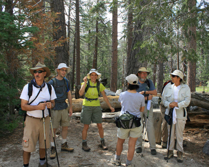
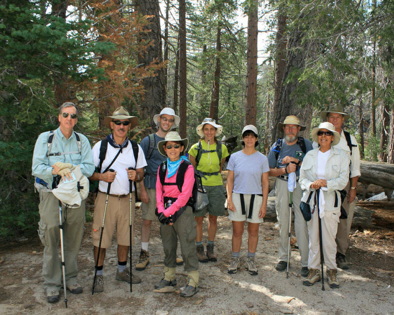
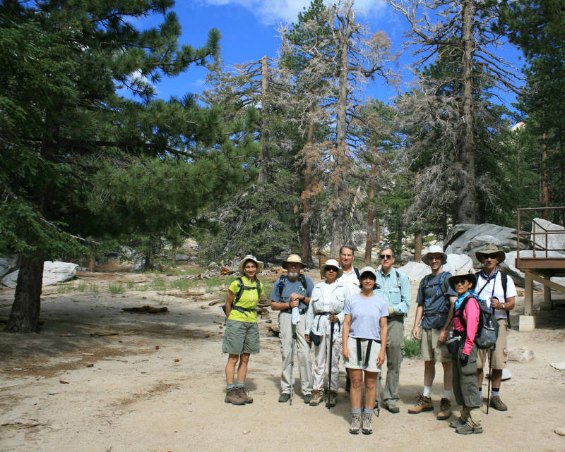
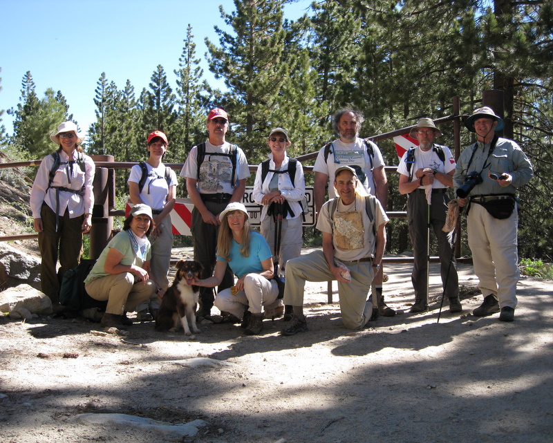
July 10th – 13th 2008 – Onion Valley Backpack Trip
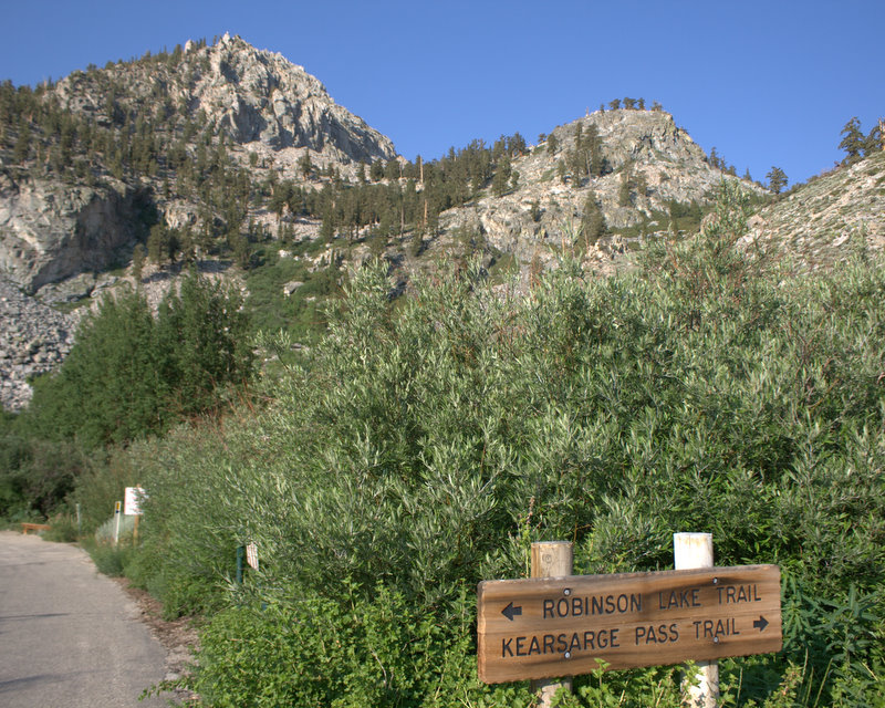


I’m pleased to report that all seven of your fellow Trailblazers who embarked last Thursday on a backpacking journey into the John Muir Wilderness in the Inyo National Forest have returned safely tired and grimy, but filled with the natural wonders of California’s high Sierras truly a feast for the eyes and the spirit.
Betty Cameron, Mary Ann Campbell, Ursula Christie, Mike Kuhn, Effie Stantzos, Roger Steffen, and I arrived at the Onion Valley Campground (9,200′) on Thursday afternoon after a 225-mile trip from Simi Valley via Highway 395 and Independence, CA including stops in Lone Pine, CA to pick up the overnight wilderness permit at the ranger station just south of town and at the Totem Restaurant for lunch. After setting up our tents in the three convenient campsites reserved by Mark Gilmore, we went on an acclimatization hike to Robinson Lake (10,500′). The 1,300′ elevation gain over 1.8 miles (according to my GPS unit) is equivalent to 726′ of gain per mile which is pretty steep. Fortunately we were helped by a fairly cool temperature and an occasional breeze. The view of Robinson Lake made it all worthwhile [Roger will be providing some photos of our trip for posting on the Trailblazers web site: http://simitrailblazers.com/].
Our dinner on Thursday evening was crashed by a horde of ravenous mosquitoes. We fought them off with a combination of insect repellents containing Deet and head nets which several of us had brought with us. After dinner and some conversation we crawled into our mummy sleeping bags and slept fitfully through the night [this seems to occur on the first night of any camping trip].
We arose early on Friday morning, had breakfast, struck camp (mostly involving jamming all of our gear back into our backpacks), and headed a couple of hundred yards over to the Kearsarge Pass trailhead [Flower Lake is along that trail]. We headed up the trail at 8:00 a.m. on what was a relatively cool morning, some of us wondering how soon we might hit the wall. As we trod the well-designed switchbacks heading ever-upward to the west, the view become increasingly enchanting. There was a riot of wildflowers [they bloom later at higher altitudes than they do around Simi Valley], the sound and sight of various watercourses including several very pretty cascades. We passed Pothole Lake and Gilbert Lake, arriving at Flower Lake between 10:15 a.m. and 11:30 a.m. Several members of our group took the opportunity to sun themselves on a giant rock overlooking Gilbert Lake before continuing on to our campsite at Flower Lake (10,548′). As a backdrop, there were towering granite peaks in nearly every direction. The 1,348′ elevation gain from Onion Valley was similar to Thursday’s hike to Robinson Lake, but over a somewhat longer distance, so the hike to Flower Lake was easier except for the 40-pound backpacks!
After setting up our base camp [on Friday] in a picturesque location amid towering trees perhaps 100′ from Flower Lake, having lunch, and resting a while, we headed uphill to the south and then downhill to the southwest to Matlock Lake, yet another gorgeous lake surrounded on two sides by towering granite mountains. We hiked leisurely all the way around the lake, some of us dipping our feet into the soothing water. We also saw two other lakes nearby. On the way back to camp, Mary Ann spotted a deer which viewed us skeptically and wandered off. After resting some more back at camp and continuing to wage a defensive battle against the persistent mosquitoes (and I do mean persistent) we prepared and consumed dinner, following which we talked, played cards (using a flat-topped rock as a table), and completed a few crossword puzzles [campfires are not allowed at the elevation of our base camp]. We then settled in for a much better (than Thursday’s) night’s sleep, accounted for in part, no doubt, to our physical exertions that day.
On Saturday morning, after breakfast, we headed west on up the main trail to Kearsarge Pass (11,845′). Along the way we passed Heart Lake (it’s shaped like a valentine) and Big Pothole Lake; we also had a great downward view of Flower Lake to the southeast along the way. Looking to the west from Kearsarge Pass the view was truly stunning. The landscape was dotted with lakes and surrounded by the trademark jagged granite peaks of the Sierra Nevada. After some photo-taking and talking with some other hikers, we descended to the west and visited three of the Kearsarge Lakes. After a lakeside lunch, we began heading eastward back up to Kearsarge Pass. We began hearing distant thunder. Since we didn’t want to be caught near Kearsarge Pass during a possible lightning storm, we hurriedly climbed back up the mountain and then uneventfully descended back to our campsite. A couple of hours later a light rain began falling; a bit later the rain turned to hail (fortunately small hail); the light rain continued intermittently for a while and then it came down pretty hard. There was lots of loud thunder, but the lightning was of the cloud-to-cloud variety (none appeared to hit the ground). It rained pretty steadily until about 1:00 a.m. The good news was that the rain discouraged the mosquitoes (temporarily).
On Sunday morning [this morning], we broke camp, again jamming our now-wet gear into our backpacks and heading back down the trail to Onion Valley. As you might expect, the trip downhill was MUCH easier than the trip up the mountain on Friday. Once everyone was down from the mountain, we headed toward home. We stopped in Lone Pine for a hearty brunch (we discovered that we were all as ravenous as the mosquitoes we’d left behind) and then drove back to Simi Valley where a shower was a top priority!
We owe Mark Gilmore, Mike Kuhn, and the other Rancho Simi Trailblazers leaders a debt of gratitude for this and the many other wonderful opportunities they provide. Our thoughts were with Carol Tucker and Mark and we extend our sincere condolences on the recent passing of Carol’s father.
I encourage each of you to take advantage of as many Trailblazers opportunities as you can in the future. I know I will.
I’ll see you ôon the trailö in the future.
P.S. Footnote to our trip — As we drove down toward Independence, CA from Onion Valley on our way home, we noticed that there was a sign stating that the road was closed to incoming traffic due to rock-and-mudslides (that partially blocked the road) which were caused by the heavy rain Saturday night. The hillsides had been denuded a year earlier by wildfires. Coincidentally, the Trailblazers had attempted this same backpacking trip one year ago but we were evacuated from Onion Valley last year (due to those same wildfires) just as we had started up the trail with our backpacks. The road was closed to incoming traffic last year too.
June 28th 2008 – San Buenaventura State Beach to the Ventura River Estuary
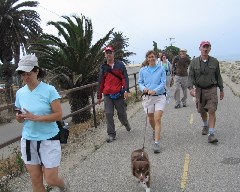
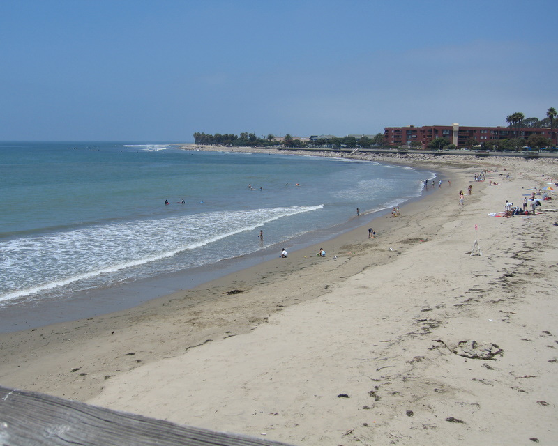
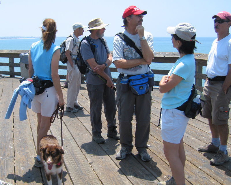
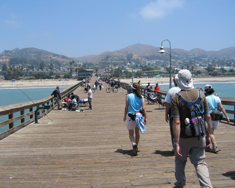
It wasn’t easy to pin down today’s hike. We were on the beach, the pier, bicycle paths, railroad tracks, city streets, and a campground. We were even lost for a moment and got carried away on the bike path up to Carpenteria. Our actual mileage was probably between 8 and nine miles. It was one of those perfect days when the ocean kept us nice a cool, in contrast to the uncomfortable temperatures inland. Trails over water? They call ’em piers!
June 14th 2008 – Sheep Camp
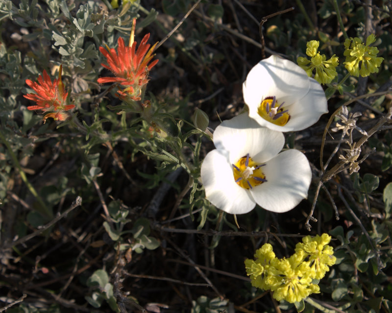
What is it about high elevation hikes? Although the temperature never rose above 76 degrees, if felt at least ten degrees warmer. Perhaps it was only because we were closer to the sun. Clear and sunny was the rule for the day. All eleven of us finished the ten plus mile round trip. Wildflowers were still quite evident, especially if you were willing to get down close to the ground and take a close look.
May 10th 2008 – Sulphur Mountain
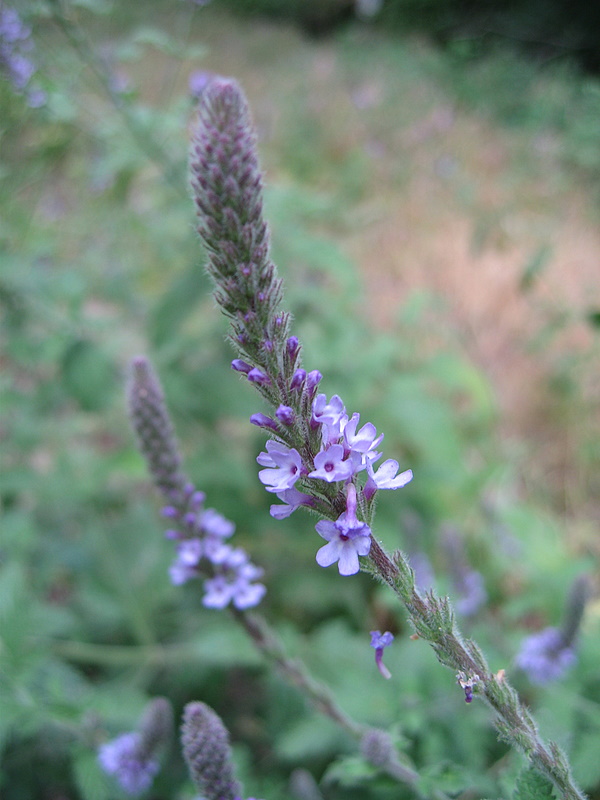
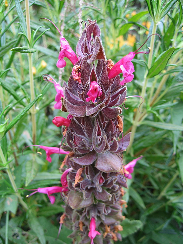
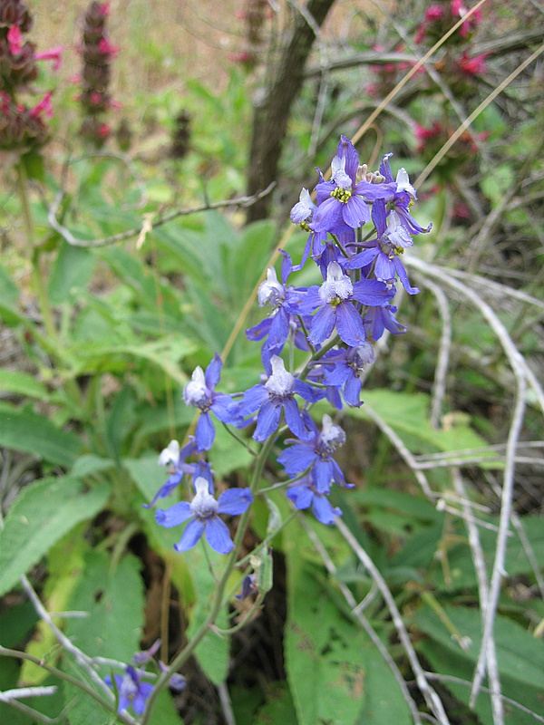
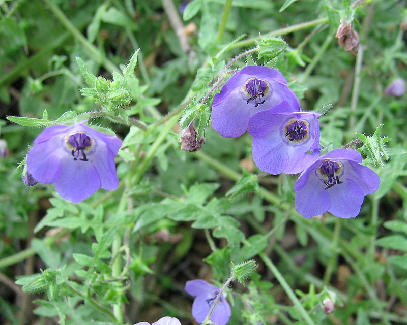
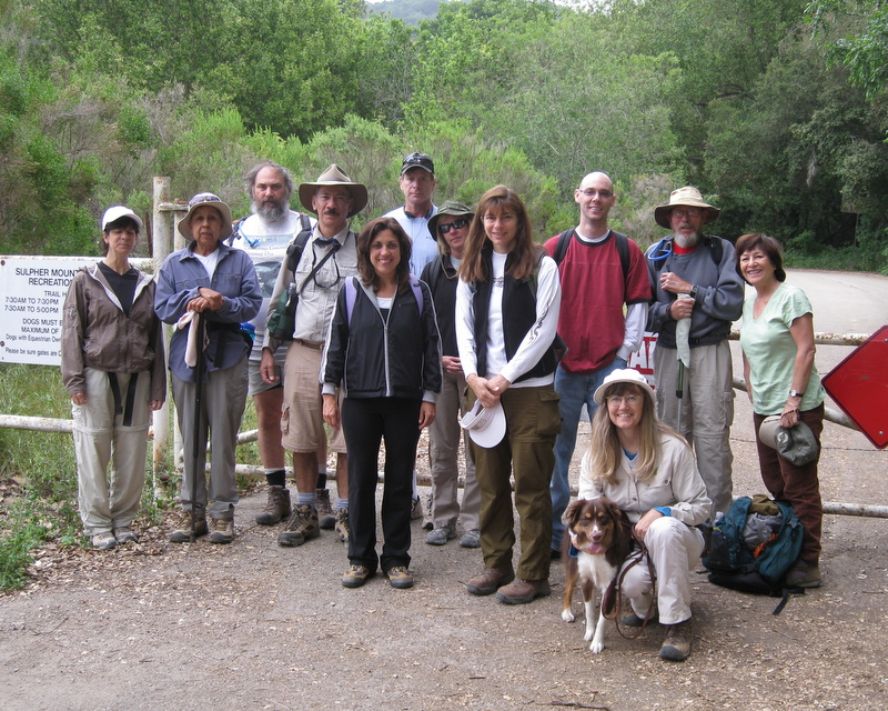
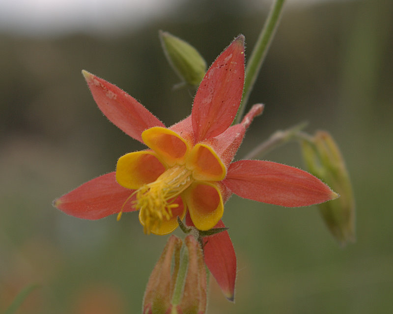
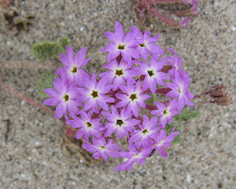
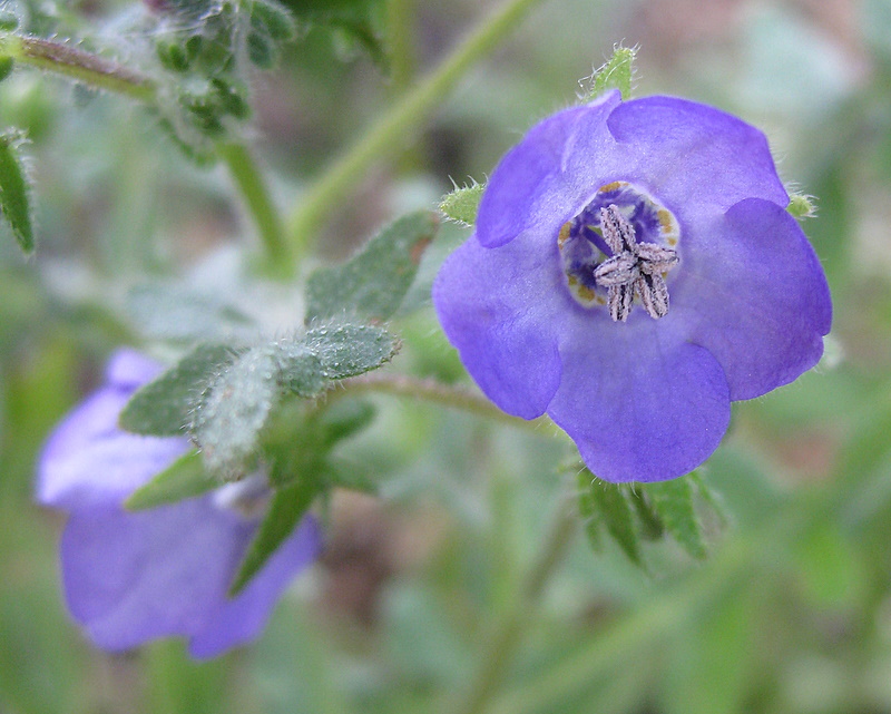
It was on of those perfect hiking days. The morning overcast shielded us from the sun, just long enough to keep thirteen us cool during our nine mile hike. Although the wildflower season is beginning to wane, there was still a good showing of Fiesta Flowers, Blue Larkspur, Mayweed, Pitcher Sage and Common Vervain.
May 3rd 2008 – Wildwood Park – Santa Rosa Trail Loop
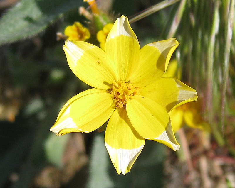
Thrirteen of us enjoyed perfect hiking weather today. Summer is rapidly aproaching as evidenced by the yellowing grasses. It was an exceptional flower day with an abundance of Indian Pink, Golden stars and Peninsular Onion. Never saw the Wildwood Flower, let alone the sacks of seeds.
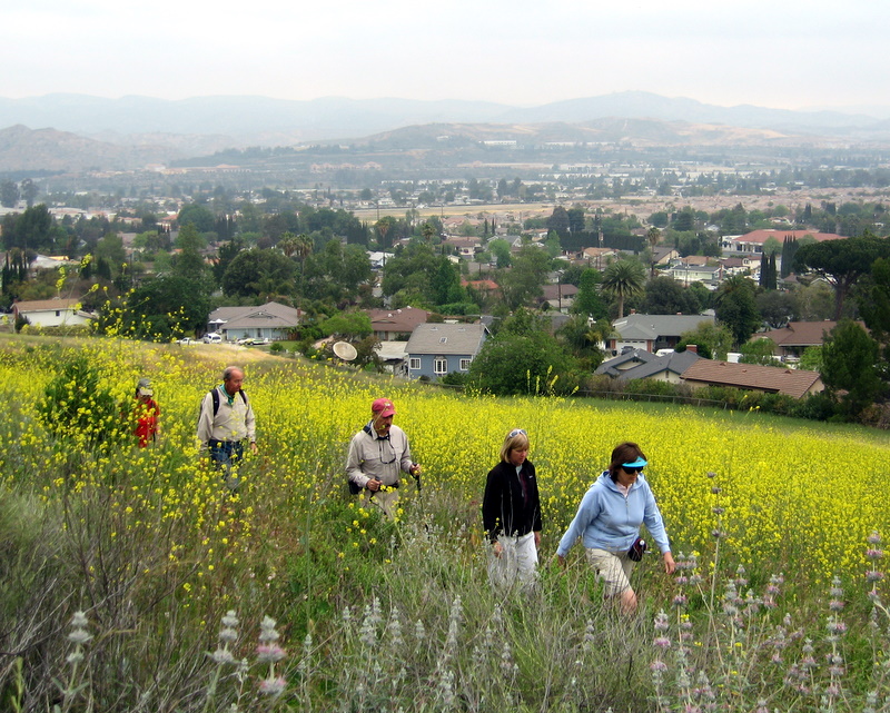
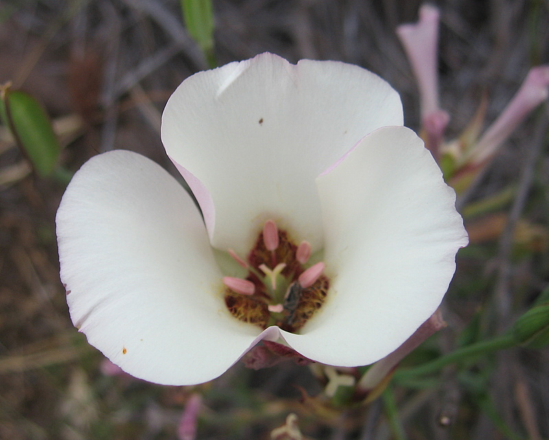
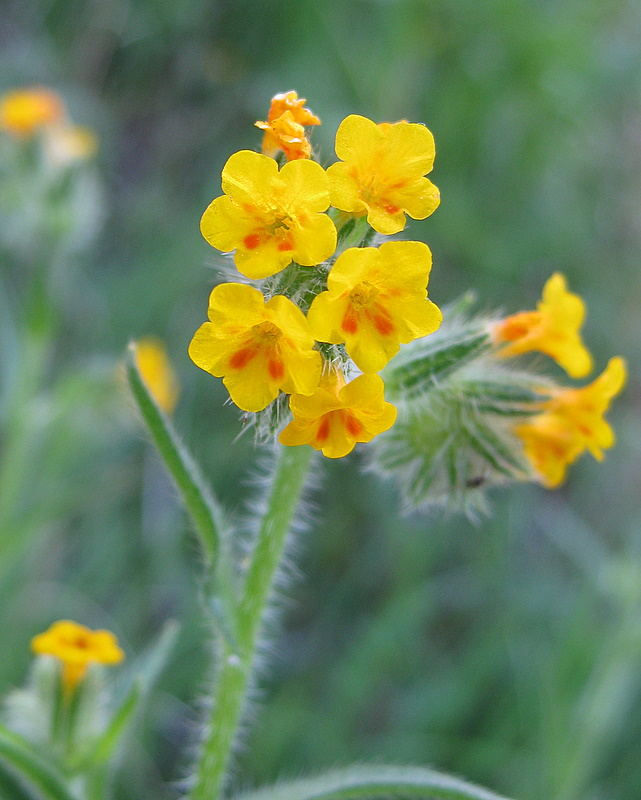
April 26th 2008 – Marr Ranch / Chumash Trail to Northridge Trail Loop

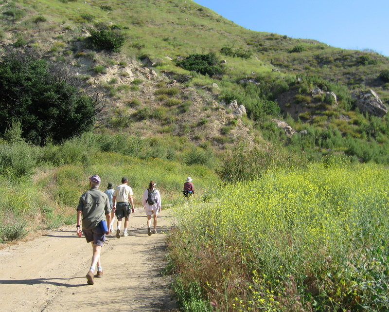
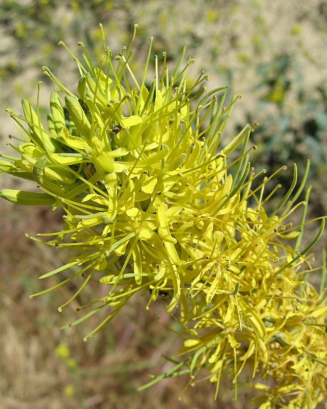
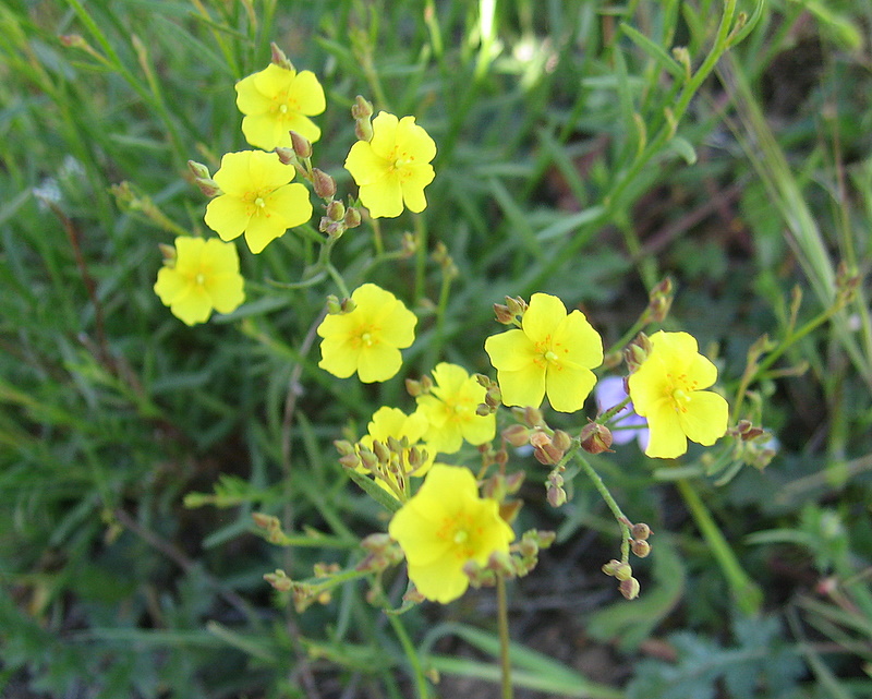
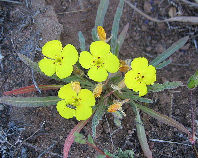
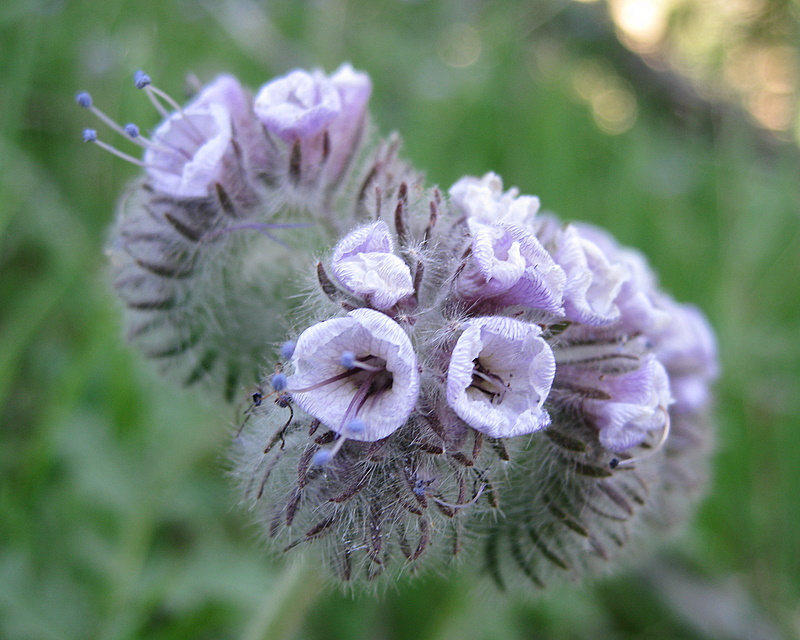
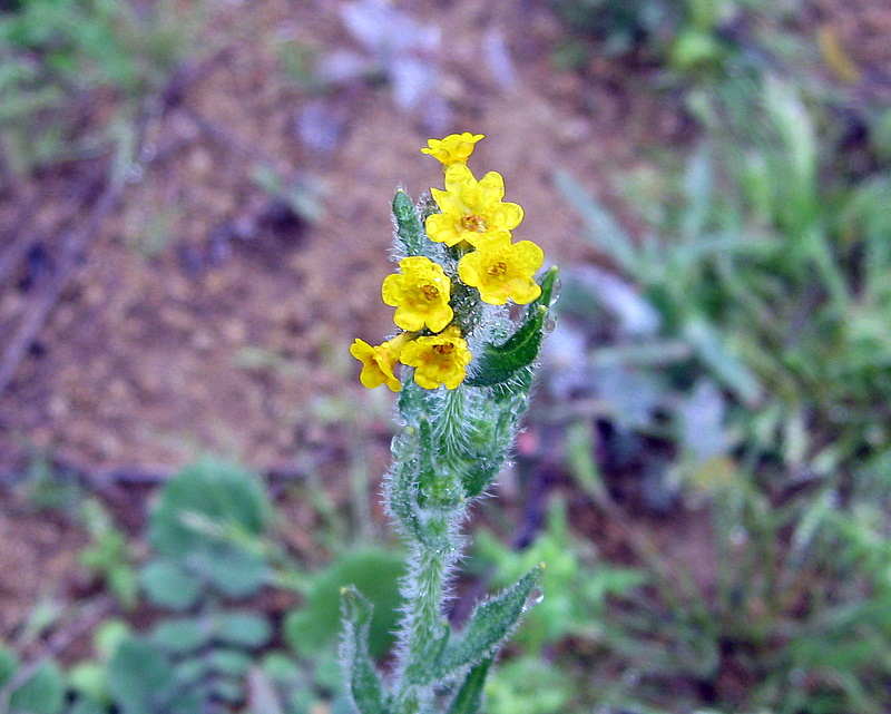
It was a hot and windy Santa Ana condition day. Seventeen of us started up the trail and eleven of us made the whole 9.5 mike loop. It was quite a workout! Four snakes were seen: two rattle snakes, one gopher and a king snake too. There were many srping flowers sighted, like the Prince’s Plume, Sticky Monkey Flower, Fern-leaf Phacilia, Rock Rose, White Snapdragon, Cob-Web Thistle, and Beach Evening Primrose.
April 19th 2008 – Mt. McCoy and the Reagan Library
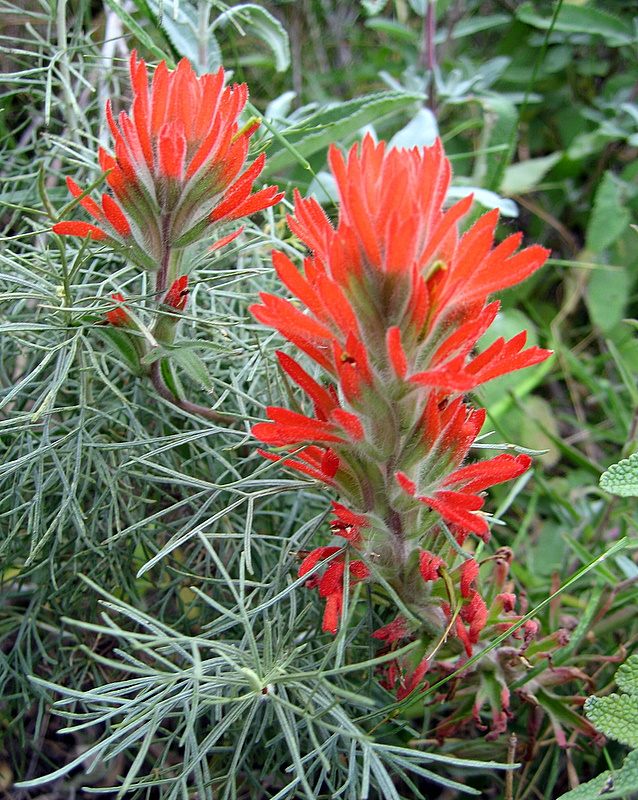
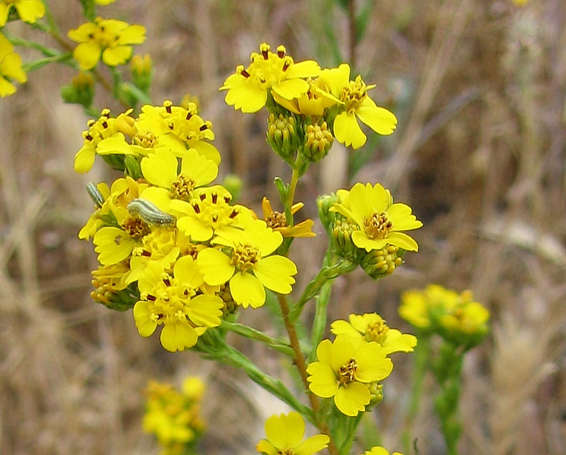
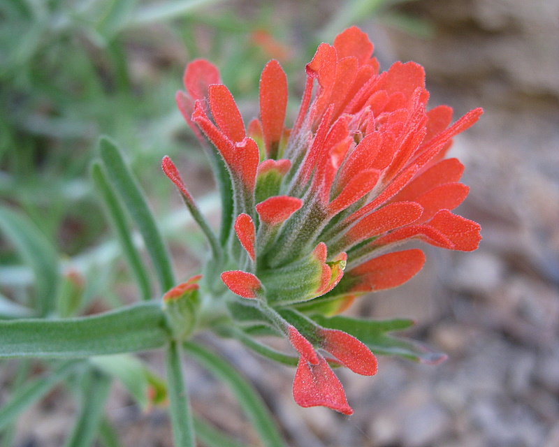
A great turn out of twenty one enjoyed the cool hiking temperatures from a thick marine layer this morning. It was nice to have a number of new people hiking with us. The plentiful wildflowers made up for the poor visibility. Some of the flowers we saw were Catalina Mariposa Lillies, Indian Paintbrush, Star Lillies, Red-Skinned Onion, Slender Tarweed, Blue Larkspur, Indian Pink and Golden Stars.
April 12th 2008 – Simi Peak via China Flat
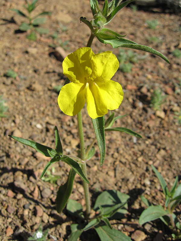
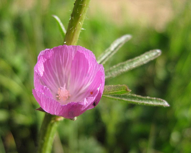
Seven of us had an early taste of Summer today. The Santa Ana condition drove the temperatures up into the high eighties, by the end of the hike. The mild winds kept us cool, as we climbed up the steep and exposed parts of the trail. Wildflowers were spectacular today, with a good showing of Checker Bloom, Bleeding Hearts, Sun-Cups, Yellow Monkey Flower, Star Lilies and Rock Rose.
April 5th 2008 – Antelope Valley Poppy Preserve
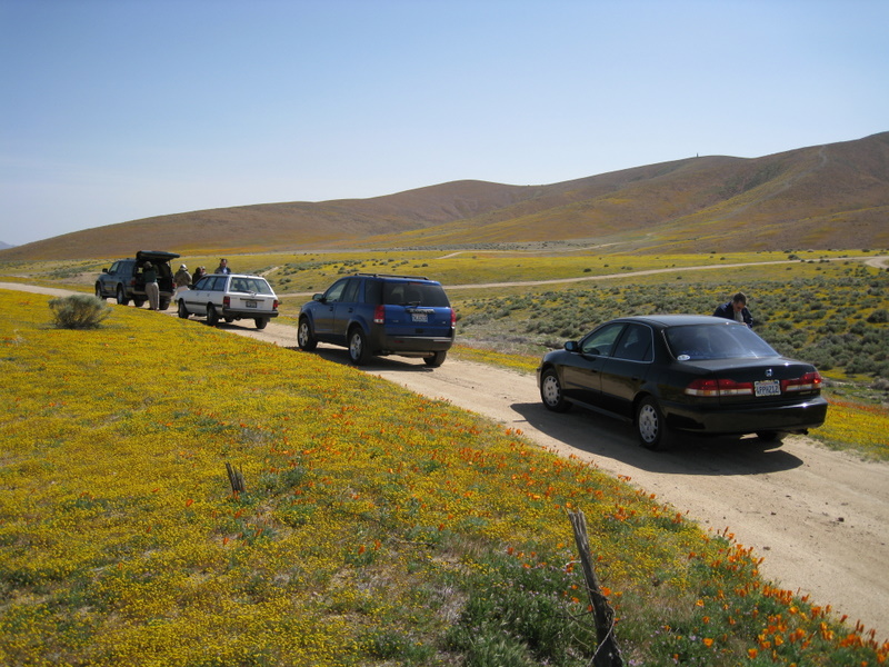
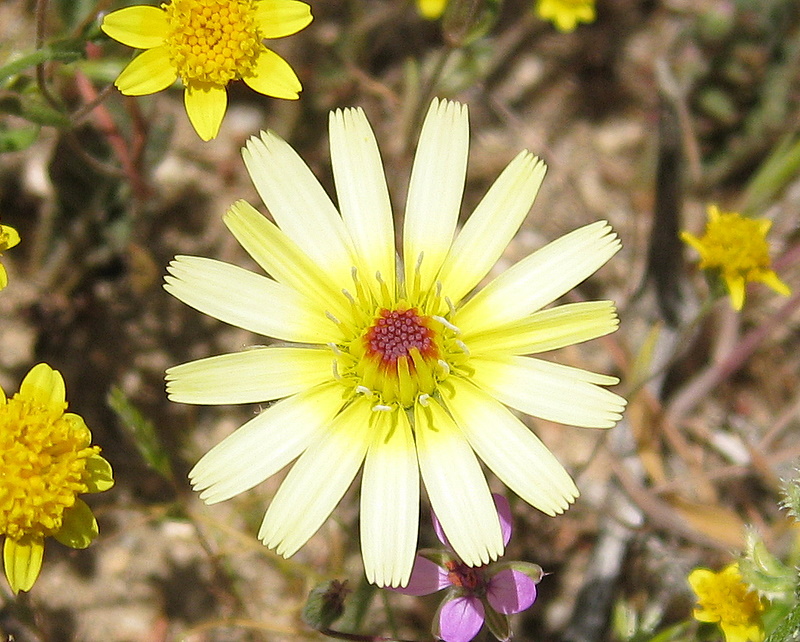
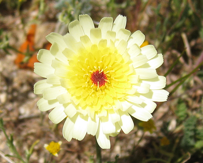
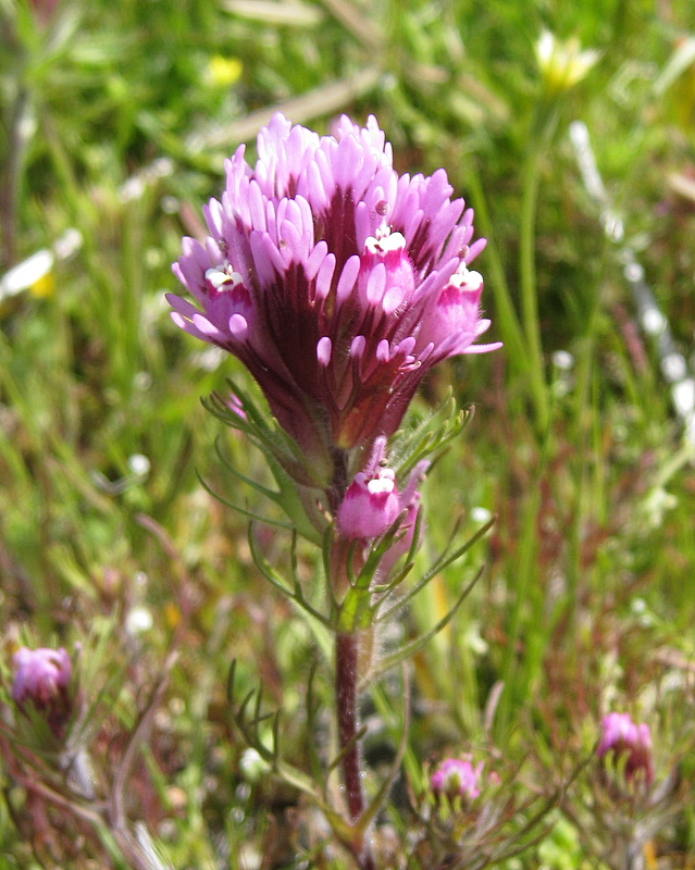
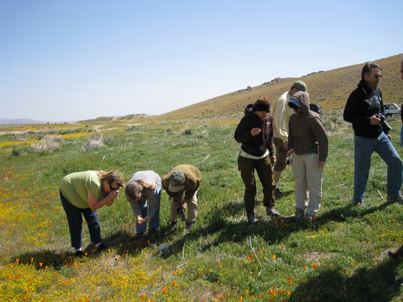
Twelve of us drove out to the Preserve this morning. After a brief stop to take a few pictures on a frontage road near Gorman, we continued down Highway 138 and then off-road into the north side of the Preserve. Although there was a good showing of flowers this year, the wind made it difficult to take good pictures.
March 29th 2008 – Towsley Canyon Loop
Seventeen of us hiked the Towsley Canyon loop today. Saying there was an abundance of flowers was a serious understatement. I’ve never seen it this good. Last year we were treated to only two Chocolate Lilies. This year the numbers were so great that we couldn’t begin to count them all. These are the special days when it’s so important to carry extra memory cards and spare batteries for your camera.
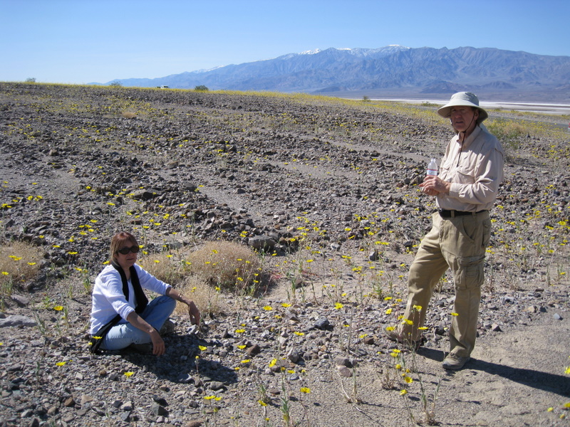
March 5th – 9th 2008 – Death Valley National Park
March 1st 2008 – Los Robles Trail System


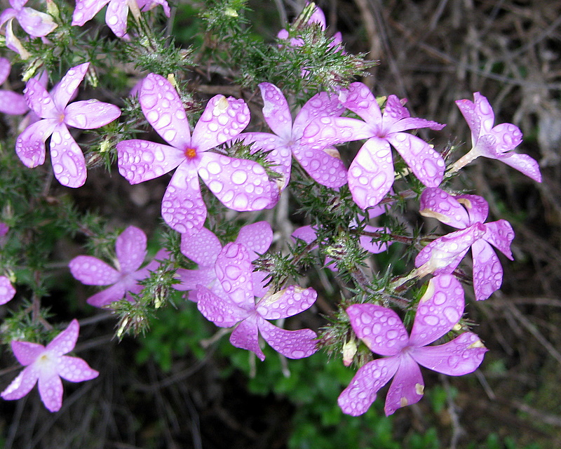
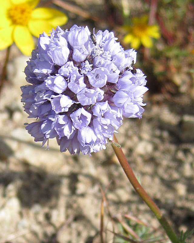
Nine of us hiked the Los Padres – Los Robles Loop this morning. It was a cool and foggy day. Wildflower are coming back this year, due the recent rains, in sharp contrast to last spring. We were treated to dew covered Purple Nightshade, Bush Sunflower, Fiddleneck and Prickly Phlox.
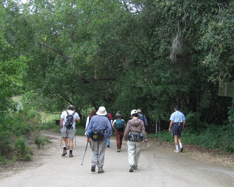
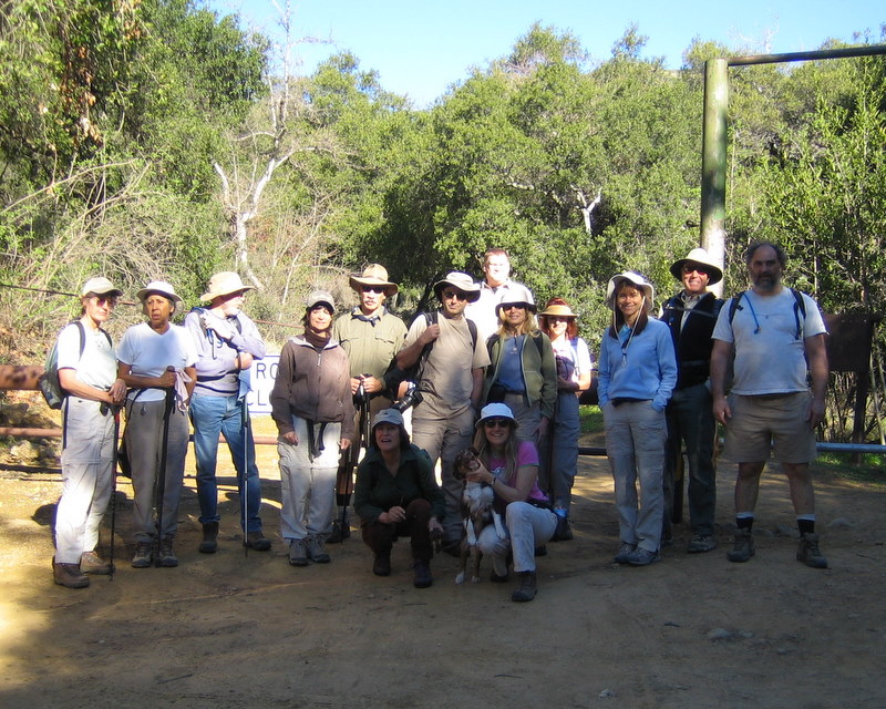
February 23rd 2008 – Placerita Canyon – Los Pinetos Trail
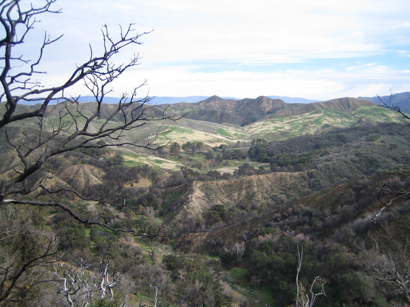
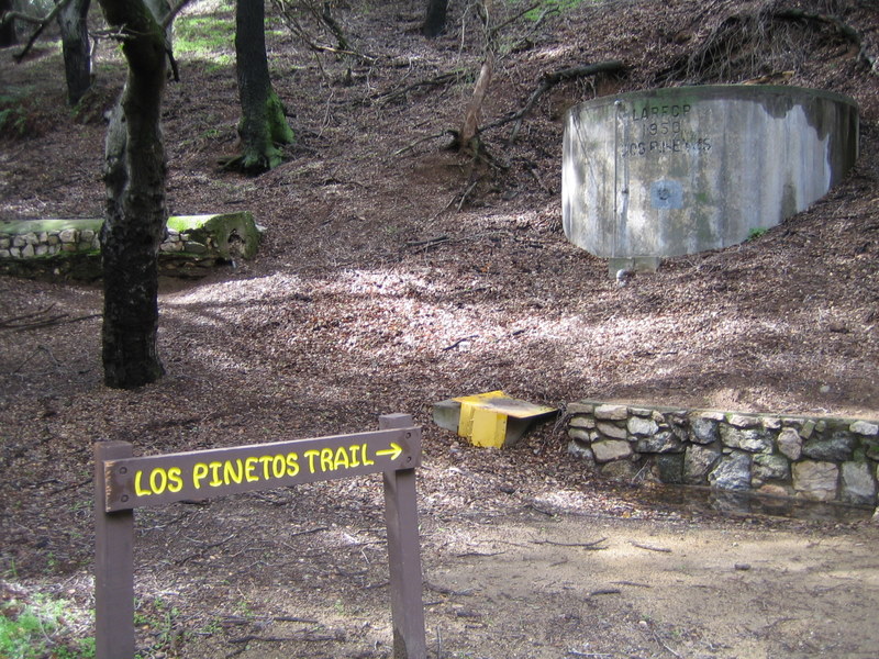
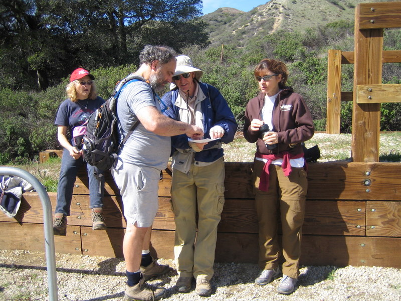
On a cool cloudy Saturday morning, eight eager Rancho Simi Trail Blazers assembled in the parking lot near the Placerita Canyon Nature Center (elevation 1,550′). The 7.5-mile loop hike began with a 2-mile jaunt east along the pleasant gurgling canyon stream to the Walker Ranch area. It then climbed steadily to the south along the heavily shaded Los Pinetos Trail until it met the Santa Clara Divide Road at Wilson Saddle (elevation 3,100′) — a pleasant spot for a lunch break. A short walk to the southeast led to an overlook with a now sunny panoramic view of the San Fernando Valley. The trail then headed west on the Whitney Canyon Road to a steeply undulating firebreak trail (with no switchbacks!) that provided magnificent views of the southern Santa Clarita Valley and distant snow-capped mountains as it led the group inexorably back to the Nature Center.
February 9th 2008 – Sisar Canyon to White Ledge Camp
Fifteen of us hiked 11 miles up Sisar Canyon to White Ledge Camp this morning. Today was the warmest day of the year and it was hot on the exposed parts of the trail, but pleasant in the canyon shade. The water was swift at the trail crossings and many of us got our feet wet. The remaining snow on the mountain peaks above us added to the beauty of the trail.
February 2nd 2008 – Mt. Hollywood Trail
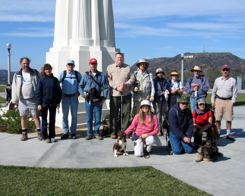
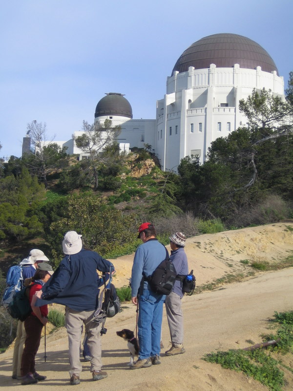
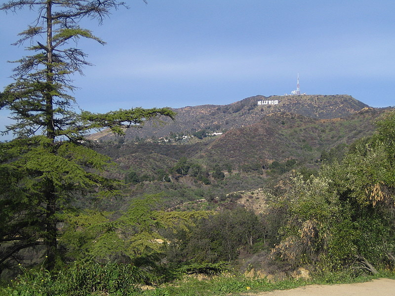
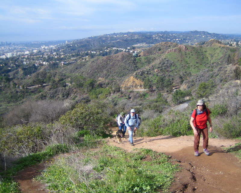
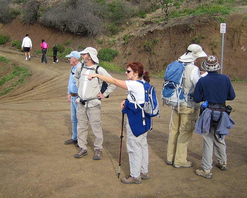
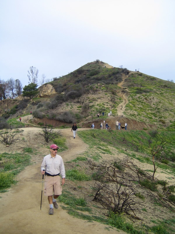
From the Fern Dell trailhead, fourteen of us hiked a 5.4 mile lollypop shaped 5.4 mile loop to the top of Mt. Hollywood. Hiking in the Griffith Park area offers a unique experience because it’s the largest municipal park and urban wilderness area in the United States. The 360 degree view from the top was a spectacular, even though long-range visibility was limited by the clouds and fog.
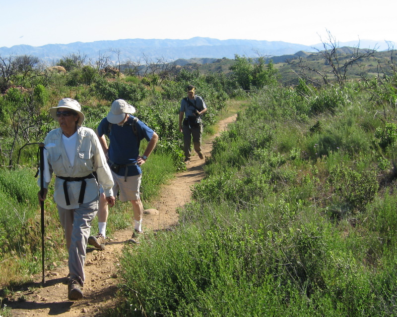
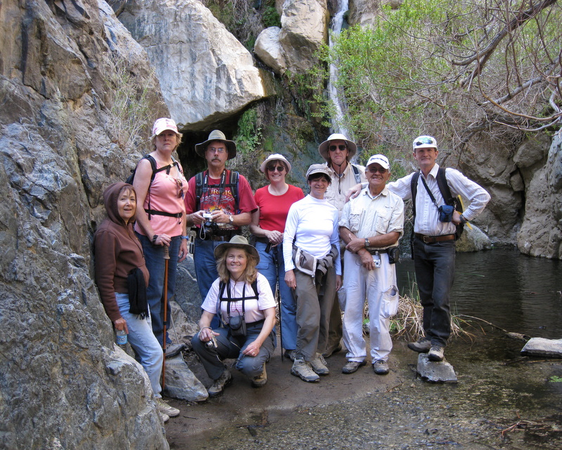
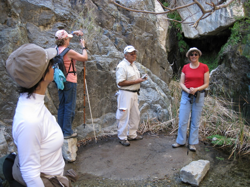
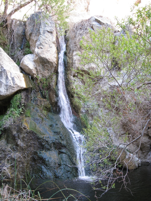
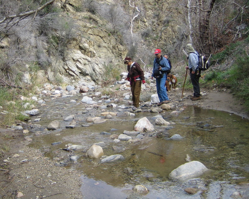
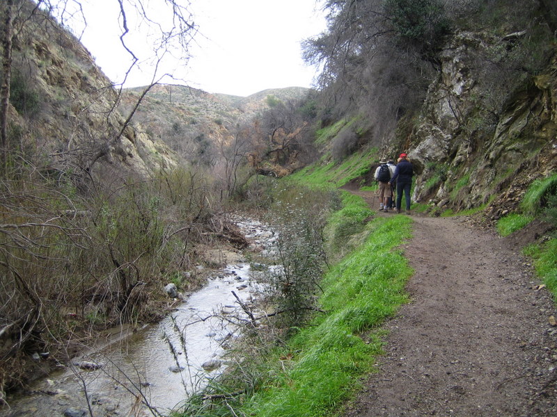
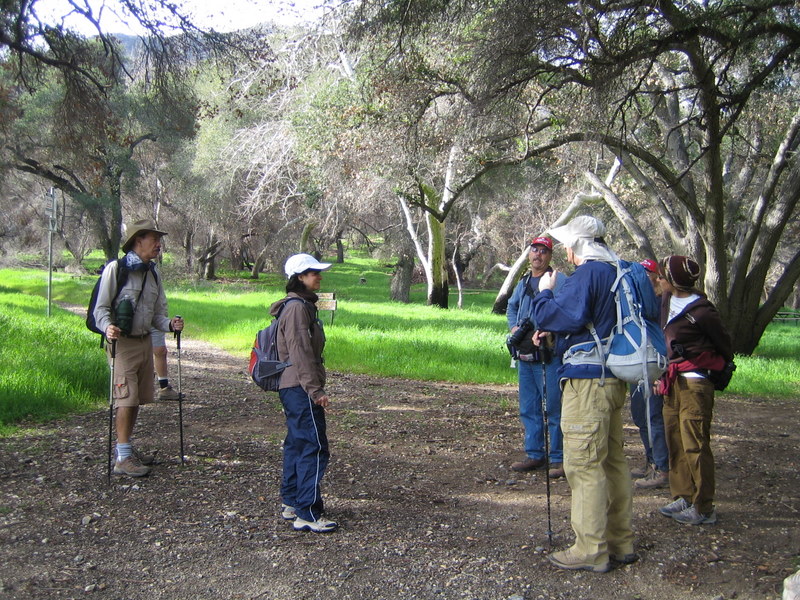
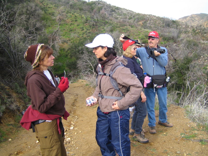
January 12th 2008 – Devil Canyon to Brown’s Canyon Road
Seventeen of us hiked a total of 9.8 miles today. What a group! A mild Santa Ana condition pushed emperatures into the mid-seventies by the time the hike was over. There were numerous stream crossings, or even stream followings, especially during the first few miles. None of the crossings were very deep or fast running. The canyon was already quite green from our recent rains. Devil Canyon is a place like no other and so very close to home too.