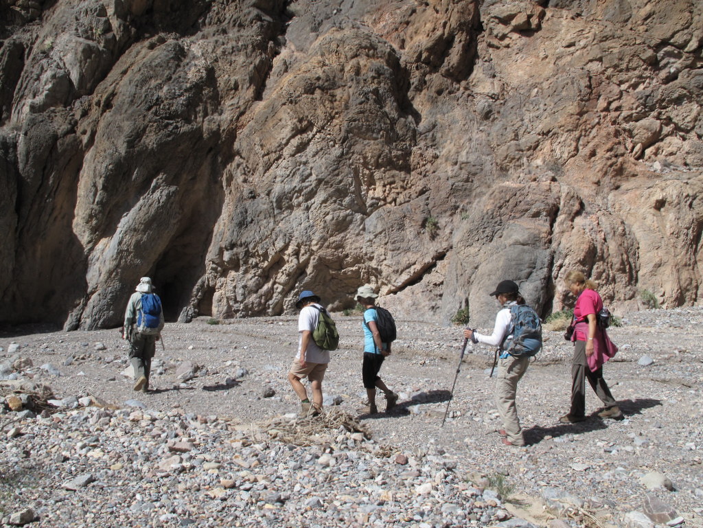
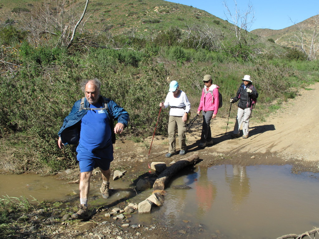
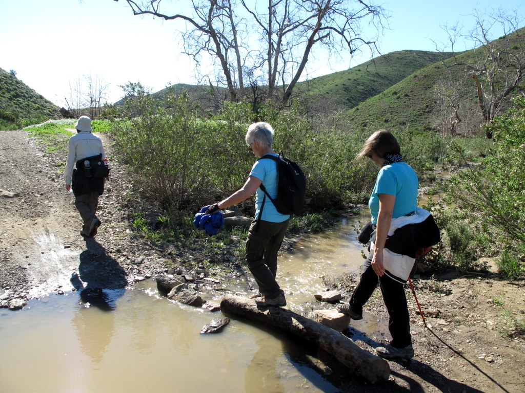
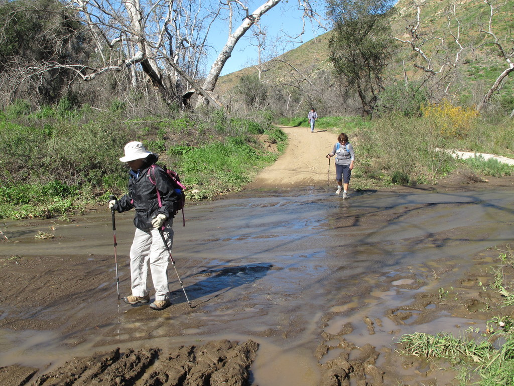
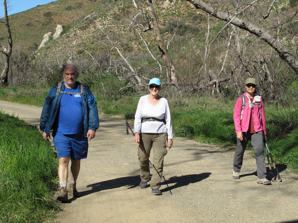
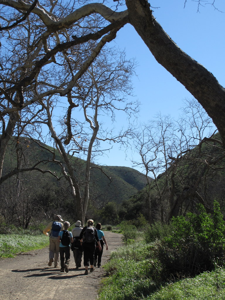
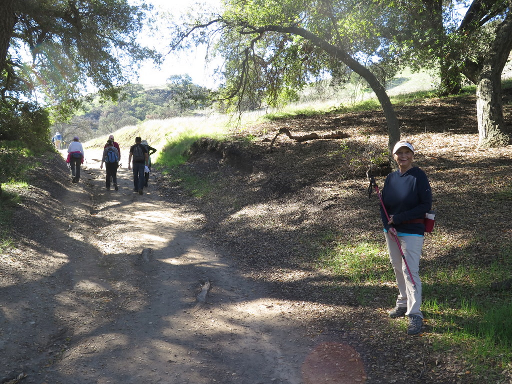
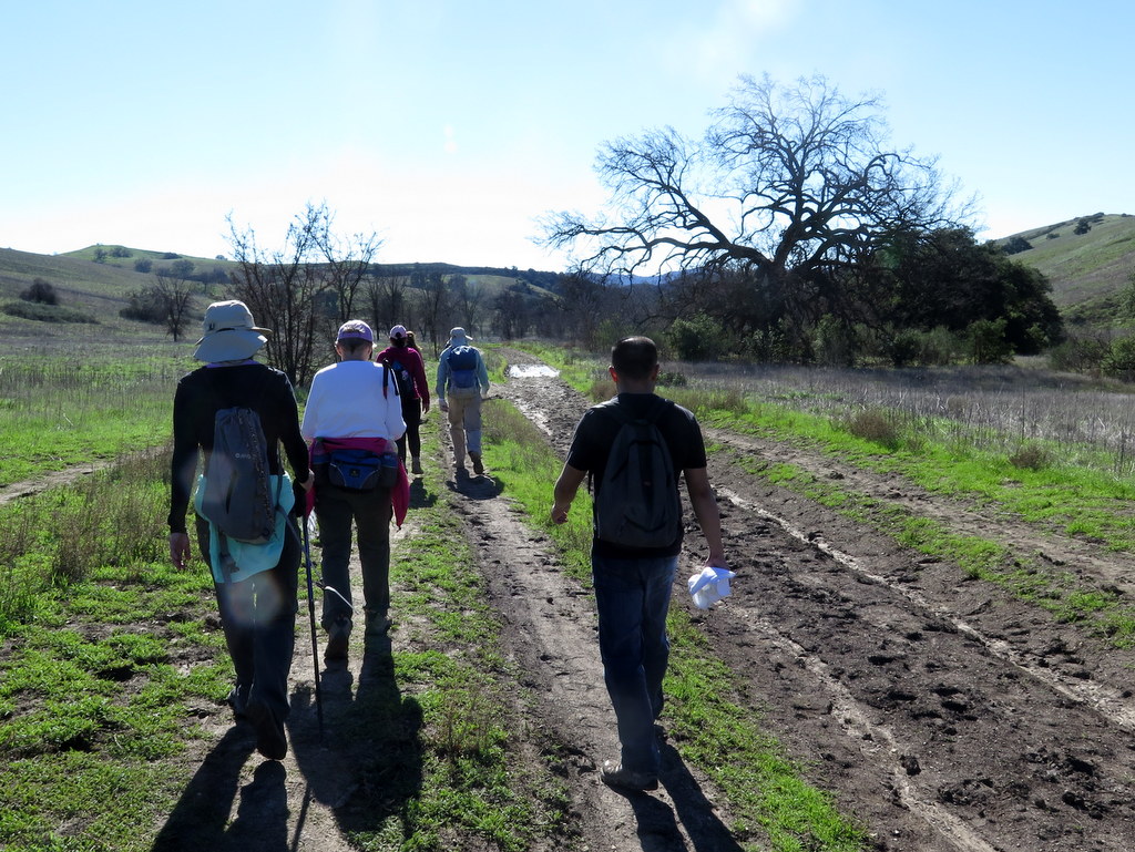
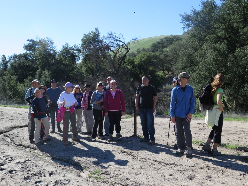
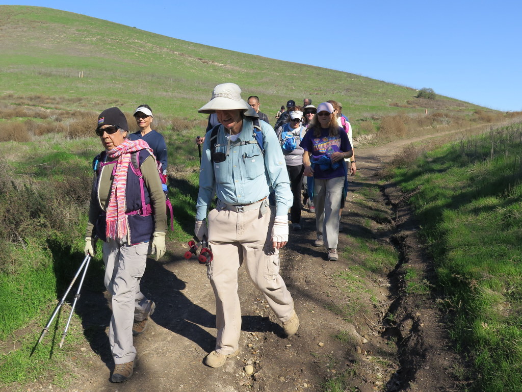
December 30th – Tapo Canyon Open Space Trail
View more photos →
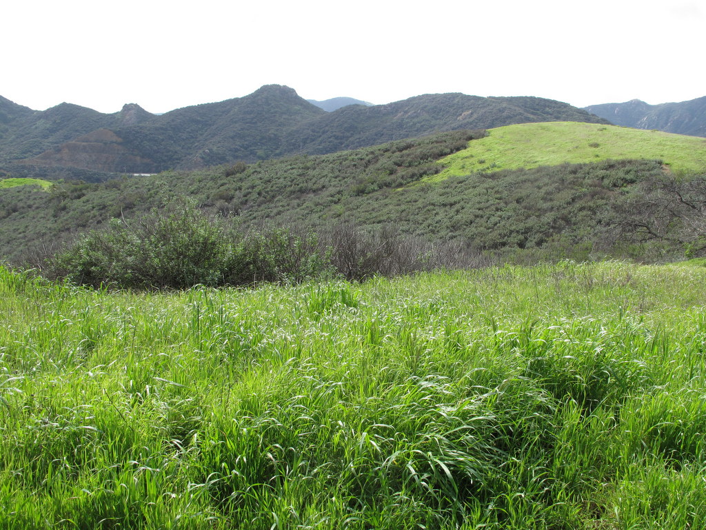
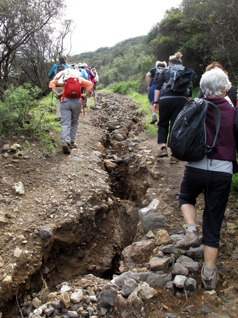
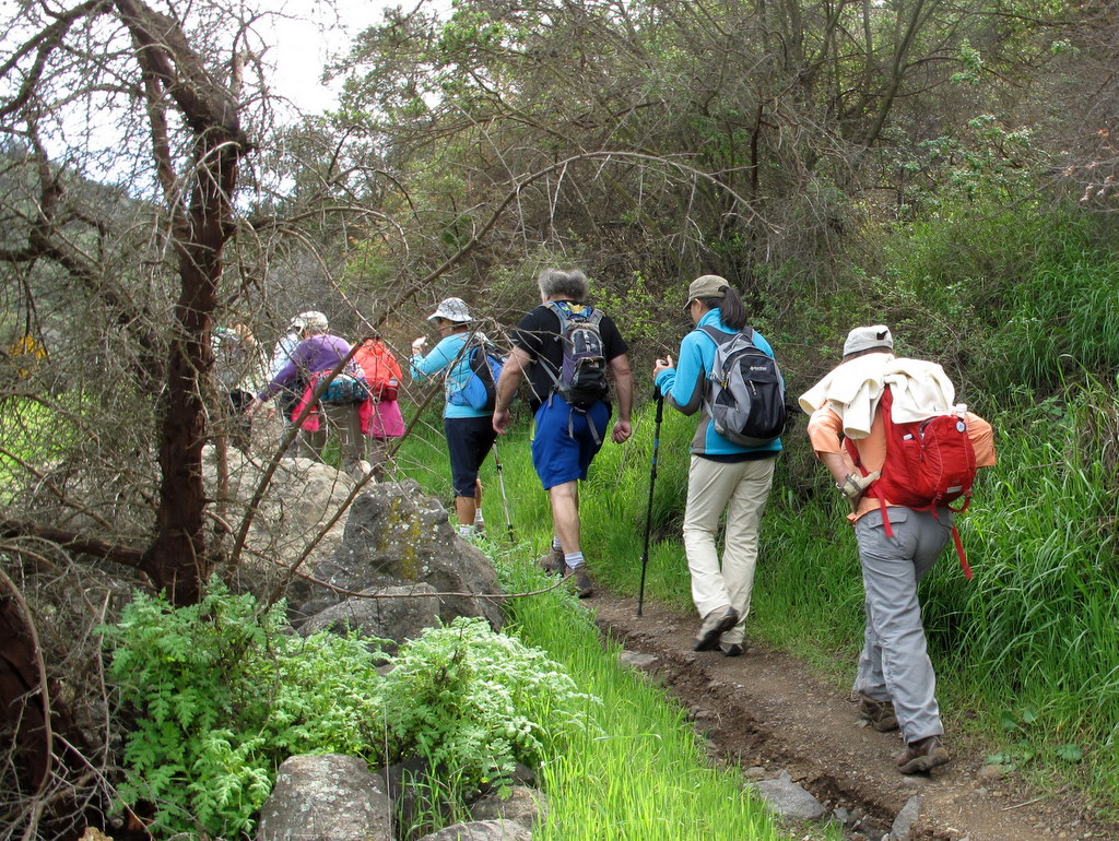
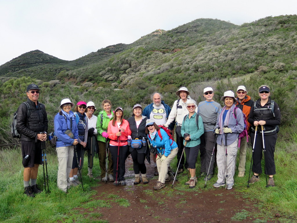
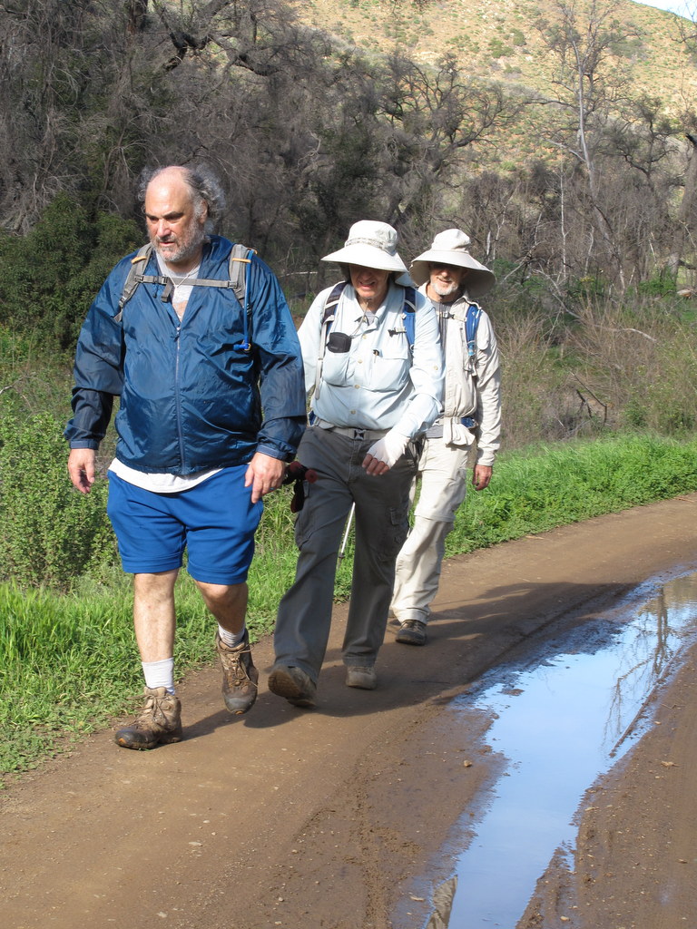
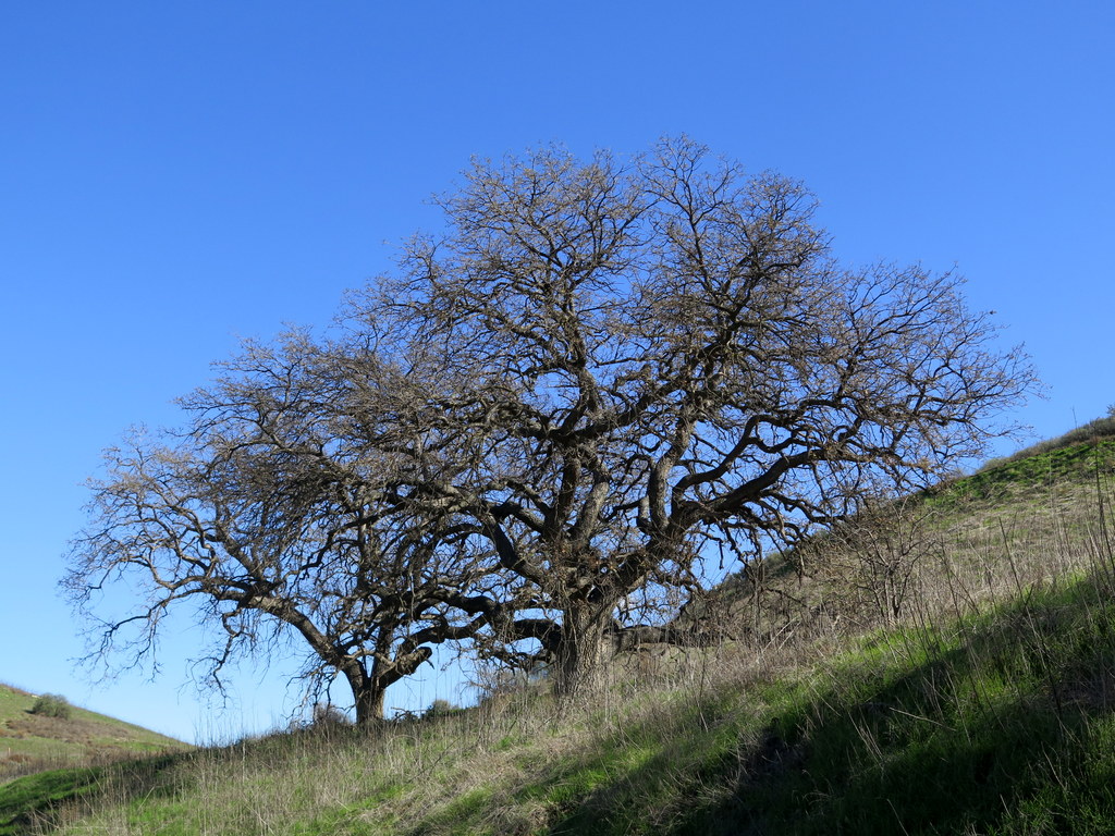
24 hikers met at the trailhead (1,145’) of the Tapo [Canyon] Open Space Trail (T23) in Simi Valley on a chilly early winter morning to work off some of the “Christmas-calories” we had consumed a few days before. We headed northward along the nearly flat dirt road which was bordered by numerous oak trees with bright green leaves that have so far survived ongoing drought conditions.
show more
After a mile or so the road rose steadily to a narrow pass and a dirt-road junction (1,535’) where we took a break and enjoyed the views of the “valley” before us and the rows of mountainous ridges to the northeast. Resuming our hike, we took the right fork (leaving the main route of T23) and began the loop portion of our hike as we followed a [confusingly also named T23] section of dirt road downhill through a pretty oak woodland until we reached its eastern junction (1,276’) with the main T23 route. After a short break, we took the left fork and again followed the main T23 route as it rose gently to the west through a large “valley” before rising fairly steeply to the southwest to another dirt road junction (1,620’, the highest point on our hike). We enjoyed the scenery from this viewpoint and then took the left fork and followed T23 back to the narrow pass (completing the loop) and then hiked on down (along T23) to the original trailhead. We completed our leisurely hike under a clear blue sky with a pleasantly cool temperature having hiked about 4.5 miles with a total elevation gain/loss of about 750’.
show less
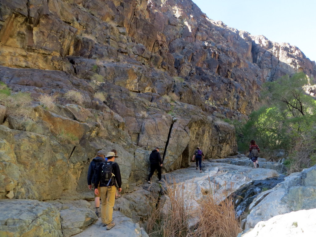
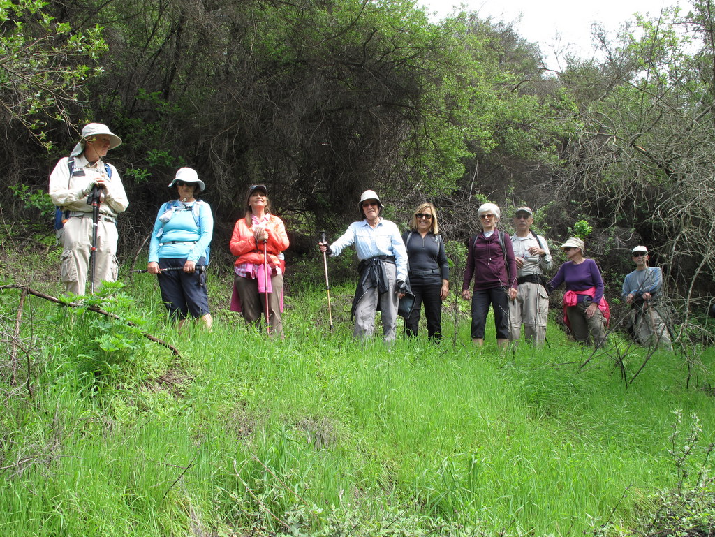
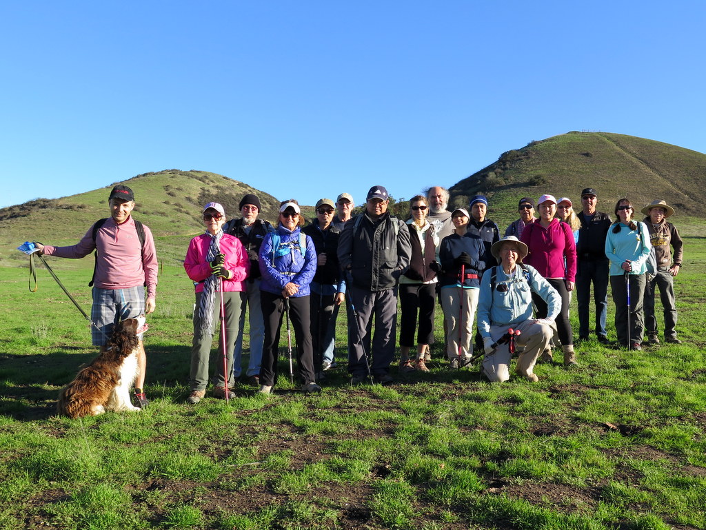
December 23rd – Sage Ranch Loop
View more photos →
After successfully navigating Black Canyon Road, 7 hikers (plus Heidi, our canine mascot) arrived at the lower parking lot in Sage Ranch Park in the Simi Hills on a pleasant early winter morning. The 625-acre park is located just north of the Santa Susana Field Laboratory (SSFL) (aka Rocketdyne/Boeing) at an elevation of 2,000’. It is chock-full of world-class sandstone rock formations and has lots of picnic tables shaded by large oak trees.
show more
Shortly after we began our counterclockwise loop hike, we were rewarded with sweeping views of Simi Valley and the mountains to the north when we followed several “use” trails out-and-back to the north. Soon after we returned to the loop trail, an eighth hiker joined us. After hiking for a while, we reached a “use” trail and climbed up on Sandstone Ridge, a long, steep rock formation rising alongside the trail on the west side of the park; it afforded us with excellent views of the once-bustling SSFL (many of the structures have been removed from the property as the cleanup effort continues). As we resumed our hike southward on the loop trail we spotted two coyotes atop a huge boulder to the east; one of them quickly vanished from our sight but the other one stared at us for a while (perhaps posing for a photo!). Soon after the trail turned eastward we reached a new “detour” section of trail and a temporary “fence” blocking a section of the original loop trail. The temporary blockage has been caused by a cleanup of the former trap and skeet range in the park. We eagerly turned onto the “detour” trail which led us northward through the center of the ranch, thus providing us with views of a heretofore unseen section of the park. Part way along the “detour” section we took a “use” trail eastward up to an overlook down into an otherwise hidden canyon with interesting rock formations and heavy foliage. We completed our relatively short, but quite scenic, stroll around and through the park having hiked about 3.5 miles with 750’ of elevation gain/loss.
show less
December 16th – Chivo Canyon Work Party
With 10 to 12 volunteers from our local Boy Scout troop 698 on hand, and another 4 from the Trail Blazers, we arrived at the trailhead and quickly realized how bad the air quality this morning. We thought that with the Red Flag warning discontinued for a few hours, we might be able to hold our event, but the air was still bad, the winds still strong, and not a good time to subject everyone to harmful air from the fires. So, we called off the event and plan reschedule on Jan 20th, 2018. We hope the Boy Scouts will be able to return at this later date, because having the younger ones of our community helping out would be a nice start to the New Year.
December 8th – Christmas Holiday Party Potluck
View more photos →
Red flag warnings and unhealthy air make it very difficult to hike, but all that was quickly forgotten last evening. Ursula again graciously opened up her beautiful home and hosted our annual Christmas Holiday. We all enjoyed the wide variety of scrumptious food, and great conversation. 20 Trail Blazers were in attendance. A great time was had by all. Hopefully, we can hit the trails again soon, so we can hike off all the calories from the tasty desserts.
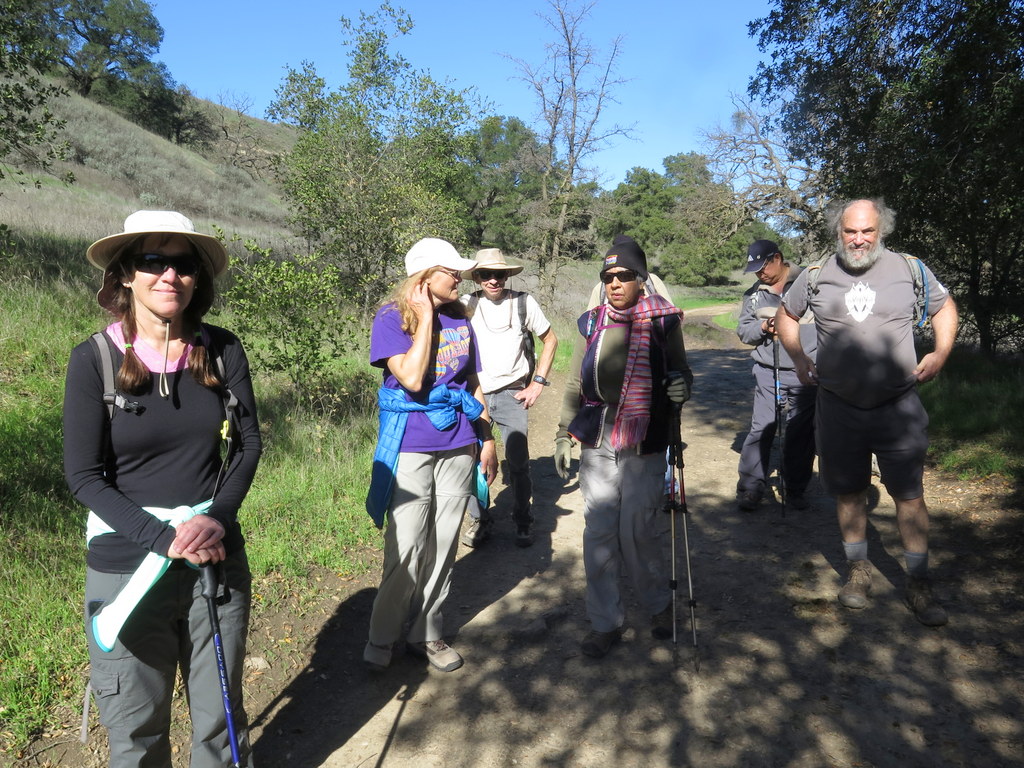
December 2nd – Alamos Canyon Exploratory #2
22 hikers gathered in the Simi Valley Sanitation parking lot at 600 W. Los Angeles Avenue (as previously arranged) on a pleasant autumn morning. We began our hike along the nearby Los Alamos Canyon Road which we followed northward, passing under Hwy 118 to the Alamos Canyon Open Space, 326 acres of which were acquired in December, 2016 by the Rancho Simi Recreation and Park District (RSRPD).
show more
Everyone was excited by the opportunity to explore a new public-use area in Simi Valley. We headed northwest along a dirt road through a dry, mostly open landscape which offered a wide view of distant Big Mountain (on the northern side of which is Happy Camp Canyon). Soon we headed westward a short distance to a junction with the Jeep Trail (according to Google Earth) which we followed northward as it began rising up the southern flank of Big Mountain providing us with nice views of the surrounding area including the murky silhouettes of Anacapa and Santa Cruz Islands. We spotted several head of free-range cattle and several beehive boxes (with bees flying around) as we returned to our vehicles having completed a relatively easy 10-mile hike with 1,300’ of elevation gain/loss. NOTE: RSRPD plans to construct a small parking lot, a trailhead, and a connecting trail from Oak Park County Park (near Moorpark) to Alamos Canyon Road to support public access to the Alamos Canyon Open Space.
show less
November 25th – Las Llajas Trail to the Shovel
View more photos →
22 hikers met at the Las Llajas Canyon trailhead on Evening Sky Drive in Simi Valley on a temporarily cool autumn morning. We began our hike under a clear blue sky by descending a short paved section of road into the canyon bottom; from there we followed the wide well-graded dirt road upstream to the north 1.8 miles, crossing the dry stream bed three times.
show more
We then followed a slightly overgrown “use” trail (the remnants of an old mining road) as we climbed up the eastern slope of the mountain, atop which we enjoyed panoramic views of the surrounding area including parts of Chivo Canyon, Las Llajas Canyon, the Santa Susana Mountains, Simi Valley, and the San Fernando Valley; also today we could see part of Anacapa Island. We took a break when we reached our goal, the site of a coquina (a soft whitish limestone formed of broken shells and corals cemented together and used for road building) mining operation. Various mining equipment artifacts are strewn about near the mining site, most notably a P&H Model 206 “steam” shovel. The day had warmed up noticeably but we enjoyed a mild breeze as we retraced our route and returned to our vehicles having completed a pleasant 6.3-mile hike with 1,100’ of elevation gain/loss.
show less
November 18th – Work Party – The Hummingbird Trail
View more photos →
Click here to watch a video of the event.
Great work party with a combination of Trailblazers and local Geocachers. Fourteen people showed up ready to work; basic tools and instructions were given out and off we went. Work was done on the first half a mile of trail, from the trailhead to the creek crossing. Our historian for the day, Cheri captured the pictures for us.
show more
We removed some rocks, trimmed trees, cleared the trail of brush, widened out some of the trail and even built a bridge going over a drainage pipe on one the little side creek crossings.
Much discussion about a variety things including, of course, solving the world’s problems, while work continued. At the end, we got to rest under some oaks and talk about the next project.
The Geocachers in the group made plans on continuing up the trail to find some of the Geocaches on Hummingbird trail.
A big thanks to all of those who pitched in today, including a foreign exchange student from Spain who chipped in and gave up their Saturday morning to help out the community and give back a comfortable trail to explore.
show less
November 11th – Devil Canyon to Browns Canyon Road
View more photos →
23 hikers met at the starting point of the hike on Poema Place in Chatsworth on a cool autumn morning. Our hike began as we descended into the heavily shaded bottom of Devil Canyon where we followed the remnants of the Devil Canyon Motorway upstream as it frequently crisscrossed the mostly dry creek bed.
show more
We spotted chalk dudleya “liveforever” plants and blooming datura (aka jimson weed) as we made our way up to the large dam at the junction with the mouth of Ybarra Canyon. After a brief rest break we continued upstream(bed) along the trail which from this point on had been transformed a few of years ago from single-track to a “one-lane” dirt road [the reason for this not being apparent though several short dirt “side roads” and one long one heading north had also been created]. As the canyon widened we passed by grass-covered hillsides dotted with oak trees. As we reached the upper-canyon Cathedral-like oak woodland, the trail reverted to its natural undisturbed state (including lots of fallen oak trees, presumably killed by wildfire and drought). Upon reaching Brown’s Canyon Road we turned right (east) and hiked a short distance uphill where we took a break and enjoyed views to the south. We retraced our route back to our vehicles and returned home having completed a very pleasant 9.8-mile hike in this unique canyon with about 1,200’ of elevation gain/loss.
show less
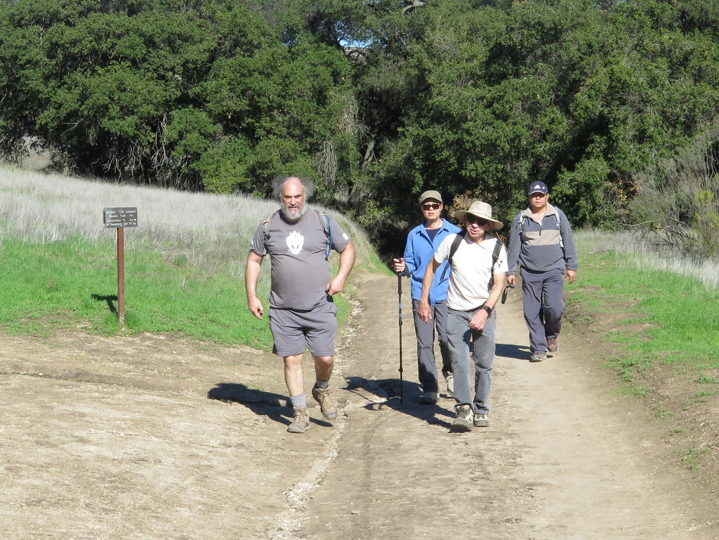
November 4th – Johnson Motorway to Rocky Peak
View more photos →
22 hikers met at the trailhead on Iverson Road just outside the gated southern entrance to Indian Springs Estates in Chatsworth on a cool, clear autumn morning. After following the easement through the upscale gated community, we reached the beginning of the unpaved Johnson Motorway (once a toll road).
show more
The trail (an old dirt and sandstone roadbed) rose westward until it met a short “driveway” leading north to the ruins of the ranch house that was built by Ann and Neils Johnson who were the first English-speaking homesteaders in the San Fernando Valley; they had built their primary home in “Chatsworth Park” in the 1870’s. Leaving the ruins, we followed the Johnson Motorway as it passed through a landscape of dramatic rock formations, climbing steadily, but not steeply, toward the Rocky Peak Fire Road; the temperature continued to be mild and there was an intermittent cool breeze. After 3.5 miles we reached the fire road where we took a short break. We then headed southward along the Rocky Peak Fire Road enjoying views of interesting rock formations and Simi Valley to the west. A short spur trail led us to an overlook of the San Fernando Valley near Rocky Peak. Several of the hikers followed a “use” trail northward to the real Rocky Peak and we climbed steeply up to the top (where there is a marker). We soon retraced our route downhill back to our vehicles and returned home, those of us who “peak-bagged” Rocky Peak having completed a pleasant 9.9-mile hike with about 2,000’ of total elevation gain/loss.
show less
October 28th – Westward Beach to Pt. Dume and Paradise Cove
View more photos →
22 hikers traveled to Malibu and Westward Beach Road where we took advantage of free parking along the road and then hiked to the parking lot trailhead, spotting a solitary seal offshore along the way. The temperature was pleasant since there was an early morning marine layer as we began hiking up onto Point Dume.
show more
After an easy climb, we hiked through a maze of trails surrounded by a “forest” of dormant coreopsis plants to the east side of the peninsula with a breathtaking view of Dume Cove and the Pacific Ocean. We then descended a rusty stairway that led down to Dume Beach. Despite being fairly close to low tide (11:00), our beach walk to Paradise Cove consisted of rocky stretches interspersed with long sandy expanses; at several points we timed our passage to the outflow of waves as we scampered carefully across the exposed bottom before our shoes were inundated by the next wave (all of which made for an interesting passage). We pretty much had the beach to ourselves as we enjoyed the ocean sounds and sights until we eventually arrived at the Paradise Cove Beach Café (
http://www.paradisecovemalibu.com ), a landmark for decades. We rested for a while in the free-of-charge Adirondack chairs facing the ocean outside the restaurant and watched as our resident merman made another appearance to the amusement of several of the other beachgoers. The marine layer had lifted and the beach had become busier when we decided to walk out on the nearby pier where several people were fishing (until recently the pier had been closed for several years). After a while we resumed our hike and headed back along the beach the way we had come; the tide was now “coming in” but it was still possible to minimize getting our boots wet. After climbing back onto Point Dume, we hiked along a partially sand-covered wooden walkway to an observation platform which afforded views of the ocean and then climbed on up to the flat top of Point Dume with 360-degree views of the surrounding area. We then returned to the main trail and descended to the parking lot and hiked back to our vehicles, returning home having completed a very pleasant 7-mile hike with about 400’ of elevation gain/loss.
show less
October 21st – Las Llajas Canyon and Chumash Trail Loop
View more photos →
17 hikers (and one dog) met at the Las Llajas Canyon trailhead on Evening Sky Drive in Simi Valley on a cool autumn morning. The hike began by descending a short paved section of road into the canyon bottom; from there a wide graded dirt road followed a streambed north through the canyon, crossing the streambed three times; the stream had a little water in it at places, but not at the stream crossings.
show more
The steep canyon walls provided shade and a refreshing breeze as we enjoyed an easy 3.5 mile trek up the canyon. Nearing the Poe Ranch gate, we took the right (east) fork and continued up the dirt road leading to an abandoned oil field which has been “cleaned up” (purposefully stripped of all remaining aboveground equipment/pipes) and then on up to a junction with the Rocky Peak Fire Road, savoring the views back down the canyon and of the surrounding area along the way. After reaching the Rocky Peak Fire Road (where a majestic oak tree had died and crashed to the ground), we turned right and headed south toward the upper end of the Chumash Trail. Along the way we passed Fossil Hill (named for the shells of sea creatures left behind when the area was under a vast sea). We enjoyed the panoramic views of mountains and canyons to the east, south, and west. Upon reaching the upper end of the Chumash Trail with its “Chumash Trail 2.7 miles to Flanagan Drive trailhead” sign, we stopped briefly before rapidly descending the familiar trail into Simi Valley. We then turned right (west) and followed a short trail to a closed-but-not-locked gate in a fence at the east end of Evening Sky Drive. A short walk along Evening Sky Drive took us back to our vehicles, having completed a very pleasant 9.6-mile hike with 1,900’ of elevation gain.
show less
October 14th – Mentryville Park
View more photos →
Today’s Mentryville Park hike was a last-minute substitution hike, due to a red flag warning in the Los Padres National Forest in Ventura County. Most substitution hikes are not the equal of the original hike. This hike was a grand exception. Mentryville was the location of the first commercially successful oil well in California. It is also the site of the longest producing oil well on record.
show more
Mentryville was a boomtown between 1876 to 1900. The town had a schoolhouse, social hall, bakery, boarding houses, bunkhouses, blacksmith shop, machine shop, a gas-lighted tennis court, croquet fields, and a main road paved with local asphalt. By the 1930s, most of the town’s residents were gone. By 1962 it was a ghost town. Our hike started about a half mike from the main entrance. We took our time and enjoyed a self-guided tour of the remaining buildings. Not far past the town we passed by the schoolhouse and then Johnson Park. Next we explored the site of the first oil well, finally capped in 1990. The elevation gain was gradual up to this point, but that was about to change. The pavement ended, and about 2 miles later we reached an overlook, which became our turn-around point. The view was expansive, but severely compromised by the smoke from the Canyon 2 fire in the Anaheim Hills. We originally intended to take a single-track trail back to Johnson Park, but deemed it unsafe due to some recent erosion, most likely from the rain last winter. Our hike became an out-and-back instead of a lolipop loop. We all agreed that it was a very successful exploratory hike and would be a perfect candidate for next Spring. There’s still more of the area to explore. Our hike was about 7 ¾ miles with 1,360′ of elevation gain.
show less
October 7th – Work Party – Wild Animal Corridor – Cache In Trash Out Event
View more photos →
This was our ninth Wildlife Corridor event. Teaming up with local geocachers, the Corridor received a fresh coat of paint and all trash remaining was removed. We visited the Corridor just two weeks before the event and found it completely covered with graffiti and in need of a good cleanup. Between the time of our inspection and our event, some other group got about half the job done.
show more
The RSRPD had no idea who got the job started for us. So, we were done in under and hour, and quickly down the hill to enjoy some cool water, snacks and some fine conversation.
show less
September 30th – Upper Zuma Canyon and Zuma Ridge to Buzzards Roost
View more photos →
15 hikers carpooled to the Upper Zuma Canyon trailhead on Kanan Dume Road just north of Tunnel #1 on a cool autumn morning. We began our hike by heading west along the Santa Monica Mountains Backbone Trail (BBT) as it descended into Upper Zuma Canyon. After crossing Newton Creek, the well-shaded trail rose and fell until we reached a very nice bridge crossing dry Zuma Creek.
show more
We continued following the partially shaded BBT westward as the temperature rose but it was still tolerable thanks to the shade. Upon reaching a trail junction 2.5 miles from the trailhead, we left the BBT and headed southward steadily uphill on the Zuma Ridge Trail (actually a well-graded dirt road) toward Buzzard’s Roost where we climbed to a viewpoint just to the west. We enjoyed a cool marine breeze and panoramic views of the surrounding mountains and valleys, but the ocean view was obscured by a marine layer. After a lunch/rest break we returned to our vehicles and headed home having completed a pleasant-enough 8.3-mile hike with 1,700’ of elevation gain/loss.
show less
September 23rd – Solstice Canyon
View more photos →
20 hikers carpooled to Solstice Canyon in the Santa Monica Mountains National Recreation Area near the Pacific Ocean on a cool early-autumn morning. Our out-and-back hike began by following trickling Solstice Creek along the nearly-level, well-shaded Solstice Canyon Trail (a dirt road), taking advantage of two short trails paralleling the dirt road along the way, and reaching the Sostomo Trail junction after about one mile.
show more
At one point we were treated to a view and the loud squawks of several beautiful green wild South American parakeets flying from sycamore tree to sycamore tree. Next we followed the Sostomo Trail as it climbed steadily toward a junction with the Deer Valley Loop Trail, enjoying an intermittent light ocean breeze along the way. As the somewhat-shaded trail rose we had clear views of Solstice Canyon and the Rising Sun Trail across the canyon. After reaching Deer Valley, we followed the loop trail in a clockwise direction as it ascended the mountainside to an overlook of the Pacific Ocean. As we neared the overlook a much-appreciated marine breeze cooled us and we took a break as we enjoyed the panoramic views of the area. After the break we completed the loop and then returned along the Sostomo Trail to the Solstice Canyon Trail (road). Turning left we walked the very short distance to Tropical Terrace, the ruins of the Roberts house built in the 1950s and destroyed by wildfire in 1982. At one time there were giraffes, camels, buffalo, African deer, and exotic birds in the canyon (but not now!). We took a lengthy lunch/rest break at Tropical Terrace and enjoyed the ambiance of palm trees, murmuring Solstice Creek, and a small amount of water in the nearby waterfall. We then returned to our vehicles via the Solstice Canyon Trail having completed a 7-mile hike with 1,600’ of elevation gain/loss.
show less
September 16th – Pt. Mugu State Beach Walk
View more photos →
12 hikers carpooled to Malibu via Kanan Dume Road and, as soon as we headed west on Pacific Coast Highway (PCH), our hiking plans were dashed as we discovered that the 31st Annual Nautica Malibu Triathlon was underway. Traffic slowed to a snail’s pace and all access to the beach was blocked by highway patrol officers for the next 11 miles as traffic crawled westward between runners and bicyclists on both sides of the road.
show more
Once we “escaped” from the path of the triathlon, we decided to explore Thornhill Broome Beach State Park which is located along PCH between the giant sand dune and Mugu Rock. It was a pleasant morning as we strolled along the beach watching the waves and lots of seashore birds. The beach was surprisingly sparsely populated (with humans) to our delight. We eventually reached the western end of the beach near Mugu Rock and across the PCH from the entrance to La Jolla Canyon. After a leisurely rest/snack break during which our own “merman” made a short appearance, we then ambled back along the beach to our vehicles and headed back to Simi Valley via Camarillo having walked on sand for 2.4 miles with a “whopping” 35’ of elevation gain/loss (and having turned “lemons into lemonade”). NOTE: The original Westward Beach to Point Dume to Paradise Cove hike will be rescheduled in October.
show less
September 9th – Charmlee Wilderness Park Loop
View more photos →
Seventeen hikers gathered in the main parking lot ($4 parking fee) at Charmlee Wilderness Park in the Santa Monica Mountains overlooking Malibu on a pleasantly cool late-summer morning. The park has a somewhat bewildering network of trails criss-crossing it but our route this day was a clockwise loop mostly around the outer edges of the park.
show more
We began our hike at the picnic area a short distance south of the information board along the Botany Trail as it rose through an oak grove to a three-way trail split. We continued straight ahead on the main trail as it passed between the eastern edge of the grassy meadow that occupies much of the park on one side and copses of oak trees and rock outcroppings on the other (east) side. Eventually we reached “Ocean Vista” overlooking the Pacific Ocean which lay more than 1,000’ below (unfortunately the distant views were largely obscured). We continued as the trail rose through chaparral to an abandoned reservoir bordered by eucalyptus trees where we enjoyed cool ocean breezes. The West Meadow Trail led us down to an old well and water pump after which we hiked around the “Black Forest,” partially on the Clyde Canyon Trail which provided views to the west. After rejoining the West Meadow Trail we soon turned left and headed northwest along an unnamed trail through a pleasant oak woodland until we reached Potrero Road which we followed up to a road junction where we turned right and explored the Ranch House ruins before following Carmichael Road and the Botany Trail back to the parking lot. We returned home having completed a short-but-satisfying 3.5-mile hike with 680’ of elevation gain/loss in this park with an amazing diversity of botany and geology on another great day for hiking.
show less
September 2nd – Carpinteria Bluffs to Tar Pits State Park
View more photos →
This time of year is often the hottest, so we typically schedule hikes in locations that afford us a break from the heat. Having endured over a week of 100 degree plus temperatures, it was a welcome relief to find that it was only 76 degrees at the trailhead. 15 hikers began our hike along the Carpinteria Bluffs overlooking Bates Beach. This year there were no seals to be seen at Carpinteria Seal Sanctuary.
show more
Passing Carpinteria Bluffs Nature Preserve, Tar Pits Park was the next stop on our hike. It is second only in size to the famous La Brea Tar Pits in Los Angeles. Next the trail took us to Carpinteria State Beach, where we left the trail to begin the first beach segment of our hike. We stopped briefly at at the San Miguel Campground facilities, where several of us took off our boots to better enjoy the walk on the beach. The beach was busier than usual, probably because of Labor Day, and because many others planed to avoid the inland heat. The beach was especially inviting, and a welcome change of pace from our usual hikes. Continuing past Marsh Park, we saw many beautiful familiar and exotic birds that inhabit our shoreline. The turn-around point of our hike was Sand Point, where we stopped to enjoy the majestic ocean, and have some lunch and snacks. A welcome and cool ocean breeze started just in time for our return trip. Just past the Nature Preserve, we took a short and steep connector trail that took us down to Bates Beach. On the way back to Rincon Park, we enjoyed exploring the unusual rock formations, and finding shells along the tide-line. Our hike was 7 ¾ miles with 225’ of elevation gain/loss.
show less
August 23 to 27th – Little Lakes Valley Backpack
View more photos →
WEDNESDAY, AUGUST 23, 2017 – [1] Car camping at the East Fork (California) Campground (for one night) and [2] hiking the trail toward Rock Creek Lake (4.4 miles with 508’ of elevation gain/loss) – – –
When we arrived at the East Fork Campground (8,915’) we set up camp in campsites #108 and #110 (spacious adjacent campsites among trees, near the creek and across the campground “driveway” from the campground host; the nearby bathrooms had sinks, mirrors, flush toilets, and toilet paper (and were clean).
show more
Since it was already late afternoon we headed to the trailhead (at campsite #82) for the trail along Rock Creek that connects to Rock Creek Lake. We followed the well-groomed trail upstream through forest along the rushing white-water Rock Creek. There were lots of different types of mushrooms and blooming wildflowers, particularly fireweed and Indian paintbrush. We turned around at a pretty unnamed lake/pond due to the time and returned to camp.
THURSDAY, AUGUST 24, 2017 – [1] Backpack (3.3 miles with 738’ of elevation gain) into the John Muir Wilderness to our base camp (~10,820’) near Chickenfoot Lake (10,789’), [2] set up camp, and [3] hike to Gem Lakes (10,900’-10,925’) – – –
[1] We drove to the Mosquito Flat trailhead (10,200’) at the south (upper) end of Rock Creek Road, strapped on our overstuffed backpacks, had a group photo taken, and began lumbering up the trail into the John Muir Wilderness and Little Lakes Valley. Immediately the beautiful scenery caught our attention; Rock Creek was rushing downstream with white water, wildflowers crowded the sides of the trail, the sky was blue, and tall mountains loomed ahead. After rising for a while the trail passed Mack Lake (10,374’) and then descended to Marsh Lake (10,429’) crossing two photo-opportunity bridges as it did so (we began taking even more photos). Continuing upstream we passed several pretty lakes (all but one of them on the east side of the trail); there were rushing streams and lots of blooming wildflowers of many species, particularly eye-catching were lupine, fireweed, columbine, and Indian paintbrush. As we neared our destination the trail rose a bit more steeply until we reached the signed junction with the Chickenfoot Lake sign (on the left/east side of the trail which was clearly an old mining road as we approached that point). Happily we turned left/east and walked the relatively short distance to where we hoped to establish our base camp. We were in luck, no one had occupied the site. Gratefully we removed our backpacks and selected specific spots to set up our tents.
[2] We set up our tents, air mattresses, and sleeping bags, rested, ate lunch, and purified water from a nearby stream.
[3] Next we headed to Gem Lakes by returning to the main trail and continuing up the old mining road toward (but not to) Morgan Pass. Upon reaching its junction with the delightful spur trail leading to the two Gem Lakes, we turned right and followed it to Gem Lake #1 where we enjoyed the beautiful scenery; there were still patches of snow on the nearby mountains and the pretty lake faithfully reflected them. A while later we made our way over to Gem Lake #2 where we enjoyed the solitude (no other hikers were there). Eventually we made our way back to our base camp via a “use” trail that provided a significant short cut and prepared and ate our dinners. It should be noted that unlike most years there were still mosquitos around annoying/biting us. We quickly applied insect repellent which quelled the onslaught. NOTE: Most of us used Repel’s plant-based Lemon Eucalyptus Insect Repellent (with no deet); it is reviewed in the September, 2017 issue of Consumer Reports and received the 3rd highest rating among 25 products for its effectiveness and was the only product to receive the highest rating for its ability to resist damage to materials.
FRIDAY, AUGUST 25, 2017 – [1] Ruby Lake (9.8 miles with 1,448’ of elevation gain/loss and [2] Mono Pass (~15 miles with over 2,000’ of elevation gain/loss) – – –
All members of our party hiked together as far as the junction of the Mono Pass Trail with the spur trail leading to Ruby Lake; then half of the group continued on up to/through Mono Pass (12,040’) where they enjoyed the vistas to the west (including Pioneer Basin). The other half of our party hiked over to beautiful Ruby Lake and enjoyed a lengthy (and shady) respite close to the lake before returning to camp. The beautiful scenery continued to consist of towering snow-dotted mountains, beautiful lakes, rushing water in streams, and stunning displays of wildflowers.
SATURDAY, AUGUST 26, 2017 – [1] Hidden Lakes (6.5 miles with 875’ of elevation gain/loss) and [2] A search for an old mining operation – – –
One group leisurely explored the following lakes before going cross-country to explore the Hidden Lakes: [1] Long Lake (10,560’), [2] Box Lake (10,468’), and [3] Heart Lake (10,425’); the cross-country exploration began by hiking up over a wooded ridge separating the Hidden Lakes from the lakes along Rock Creek after which they visited several pretty lakes/streams unseen by vast majority of visitors to the area. They were pleasantly surprised by discovering over 100 mushrooms of various types in a small lightly wooded area. The other group hiked over Morgan Pass (11,155’) and then on down to Upper (10,934’) and Lower (10,723’) Morgan Lakes before going cross-country (up) to an all-but-abandoned and razed mining site. Reportedly Upper Morgan Lake is fairly desolate, but Lower Morgan Lake is pretty.
SUNDAY, AUGUST 27, 2017 – Break Camp, backpack out, and return home – – –
We left this particularly beautiful section of the always spectacular Sierra Nevada with some regret, but with anticipation of reuniting with loved ones, hot showers, real food, and beds with firm mattresses!
show less
August 19th – Mt. Pinos to Sheep Camp
View more photos →
19 hikers carpooled to the Chula Vista parking lot (favored by stargazers) about two miles from the summit of Mt. Pinos (8,847‘) in the Los Padres National Forest. The hike began under a clear blue sky on a pleasantly cool morning by following a dirt road through a lovely aromatic pine forest to the Tumamait-Mt. Pinos Trail (21W03) trailhead at the Condor Observation Point where the views to the north, south and west were somewhat obscured by smog.
show more
The well-maintained dirt trail then entered the Chumash Wilderness as we descended the open western slope of Mt. Pinos – which displayed a variety of wildflowers, particularly rabbit brush and Indian paintbrush – via switchbacks; we then crossed a saddle and ascended the forested eastern slope of Sawmill Mountain. Then we followed an unsigned “use” trail to the Sawmill Mountain peak (8,818’), marked by a large rock monument where we were greeted by a large contingent of hikers from Santa Clarita’s Community Hiking Club [they had hiked over from Mt. Abel (aka Cerro Noroeste)]. Returning cross-country to the main trail. we descended to a junction with the North Fork Trail (22W02) which we followed as it descended southward half a mile to Sheep Primitive Camp (8,200’) under a stand of Jeffrey Pines. There we took a rest/lunch break and enjoyed the pleasant forest environment. We then retraced our route up Sawmill Mountain and back to the Condor Observation Point. As we climbed the western slope of Mt. Pinos we were lightly pelted by small hailstones (something more often experienced in the Sierra Nevada). After regrouping atop Mt. Pinos on a still-cool day, we hiked back to the parking lot and then returned home having completed a 10-mile hike with 1,875’ of elevation gain/loss.
show less
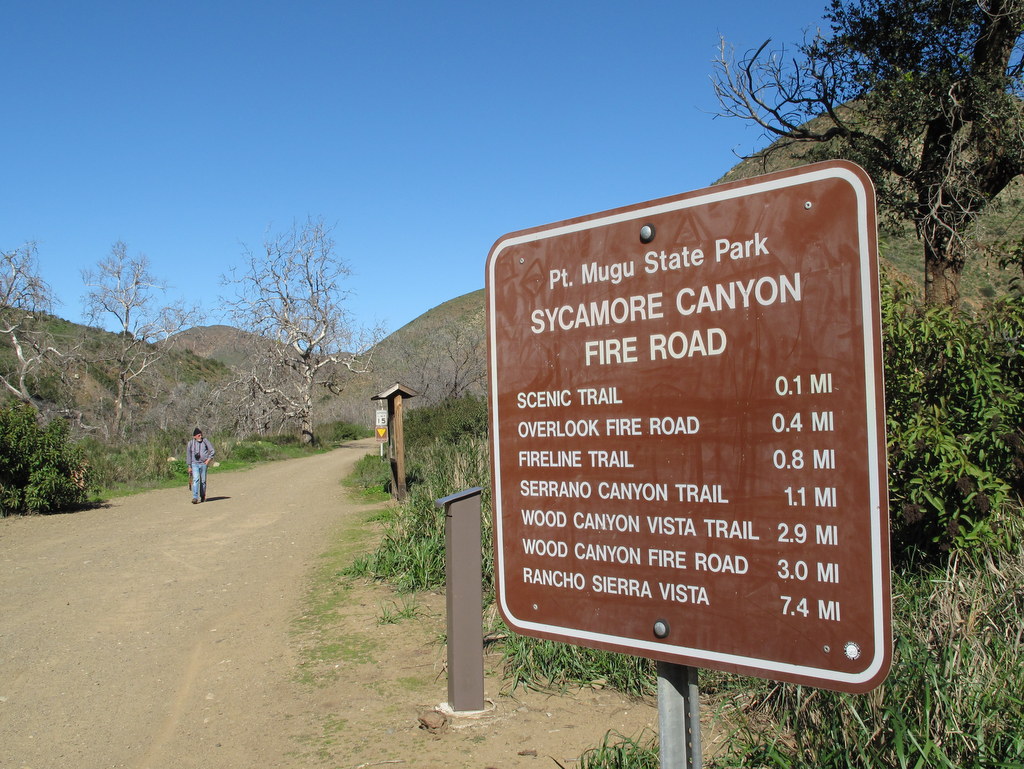
August 12th – Serrano Canyon Loop
View more photos →
16 hikers carpooled to the day-hiker’s parking lot at the Big Sycamore Canyon Campground on Pacific Coast Highway in Point Mugu State Park on a foggy morning near the ocean. Our hike began by walking through the campground and then hiking 1.1 miles north on the dirt Sycamore Canyon Fire Road which we shared with bicyclists and mosquitos (fortunately we had some insect repellent which was quickly applied).
show more
We then headed 1.7 miles east on the Serrano (“from the mountains”) Trail as it climbed gradually upstream through the beautiful shaded canyon. We enjoyed some late-blooming plants along the trail, including lots of cliff asters and poison oak (which provided a festive red and green touch). We emerged from the canyon into lovely Serrano Valley which is ringed on all sides by mountains; it consists mainly of large meadows covered by wild grasses and dotted with a few trees and some bushes along the seasonal streams. There we began hiking the Serrano Valley Loop in a clockwise direction, stopping briefly to examine an old water pump. The west side of the loop climbed part way up the mountain before reaching a fork and turning right (east). We followed the now-narrow but well-defined trail as it climbed into the foothills along the north side of the loop [the left fork would have taken us to the Old Boney Trail]; it provided great views of the towering mountains to the northeast. Soon the trail began descending along the east side of the loop affording us with excellent views of the western part of Serrano Valley and the mountains to the south. Refreshed by cool ocean breezes, we completed the loop and then descended through pleasantly cool Serrano Canyon to Big Sycamore Canyon where we returned along the wide dirt road to the campground, said our goodbyes to friends, and returned to Simi Valley having completed a 9 mile “lollipop loop” hike with 1,350’ of elevation gain/loss on a surprisingly pleasant day for hiking.
show less
August 5th – Newton Canyon and the Backbone Trail
View more photos →
Eleven hikers, met at the Donut Delite parking lot and carpooled to the Newton Canyon Trailhead. The Newton Canyon trail follows a segment of the Backbone Trail known for its extensive riparian canopy. It is the shade, provided by this canopy, that makes this hike a good choice in the hot Summer months.
show more
A quick spot check with NOAA weather indicated that the forecast trailhead temperature, near the end our our hike, would be about 87 degrees. Humidity was unusually high today, so the comfort window was short. As it turned out, NOAA’s forecast was almost spot on. There were few wildflowers in evidence, except a smattering of Cliff Asters, Climbing Pentasmon, and Indian Paintbrush. The car’s AC felt especially good, having completed 7 miles, and a bit more than 1,500′ of total elevation gain.
show less
July 29th – Alamos Canyon Exploratory Hike
View more photos →
19 hikers gathered in the Simi Valley Sanitation parking lot at 600 W. Los Angeles Avenue (as previously arranged) on a pleasant summer morning cooled by an overcast sky. We began our hike along the nearby Los Alamos Canyon Road which we followed northward, passing under Hwy 118 to the Alamos Canyon Open Space, 326 acres of which were acquired last December by the Rancho Simi Recreation and Park District (RSRPD).
show more
Everyone was excited by the rare opportunity to explore a new-to-us area in Simi Valley. We headed northwest along a dirt road through a dry, mostly open landscape which offered a wide view of distant Big Mountain (on the northern side of which is Happy Camp Canyon). Soon we headed eastward along a connector road until we reached the Scarab Fire Road (according to Google Earth) which we followed southward to Alamos Canyon Road thus completing a loop. We returned to our vehicles having completed an easy 5-mile hike with about 425’ of elevation gain/loss (and we once again “beat the heat” thanks to our 7 AM start). NOTE: RSRPD plans to construct a small parking lot, a trailhead, and a connecting trail from Oak Park County Park (near Moorpark) to Alamos Canyon Road to support public access to the Alamos Canyon Open Space.
show less
July 17, 2017 – July 23, 2017: June Lake: Annual Summer Camping and Hiking Event
View more photos →
Monday – Arrival at Oh! Ridge Campground and Parker Lake Trail (5.0 miles with 700’ of elevation gain/loss)
After arriving at Oh! Ridge Campground (7,705’) on the northeastern shore of June Lake, checking in, and setting up camp, several of the 11 Rancho Simi Trailblazers who participated in the six-day outing in the Eastern Sierra Nevada headed for the Parker Lake (8,320’) hiking trailhead (7,791’) located west of Grant Lake on the June Lake Loop (Hwy 158) at the southwestern end of Parker Lake Road for a late-afternoon hike.
show more
The near-record snowfall this past winter damaged the dirt road leading to the trailhead so we had to walk the final stretch of road (which accounts for the longer distance and elevation gain hiked this year). At first the trail rose somewhat steeply amid sagebrush and a variety of wildflowers as it entered Parker Canyon. It then rose gently beside quaking-aspen-tree-lined Parker Creek which was flowing strongly due to the above-average snowpack this past winter, until it reached lovely Parker Lake located in the granite cirque below Kolp Peak at the head of the canyon. On the return trip, the usual views of Mono Lake in the distance were obscured by smoke from the Detwiler Fire that began in Mariposa, CA.
Tuesday – [1] Bennettville and the Mine Creek Drainage; [2] Great Sierra Mine Trail to Gaylor Lake; and [3] a visit to the Tuolumne Meadows area (Total 5.9 miles with 1,501’ of elevation gain/loss)
[1] The trail (TH 9,750′) followed an abandoned mining road as it made its way gradually down and then up the wooded slope toward Shell Lake (9,858′). Along the way we encountered several snowfields which we had to navigate and Mine Creek which was thundering with snowmelt. When we reached the lake we were unwilling to cross the rapidly flowing outlet stream. As a result we were unable to reach two restored mining-camp buildings on the far side of the creek or to continue on up to Fantail Lake. NOTE: Bennettville, was a town not far from Tioga Pass that “lived” from the late 1870’s until the early 1880’s; it was created by the Great Sierra Consolidated Silver Mining Company to facilitate silver mining. The two of the town’s original fourteen structures that remain are: a large building that served as a bunkhouse (upstairs) and stable and a smaller building that served as an assay office.
[2] The trailhead (9,965′) is located just west of the Tioga Pass Entrance Station to Yosemite National Park. At first the trail rose steeply through a forest as it gained 600′; it then dropped to Gaylor Lake #1 (10,356′) where we turned around. Beautiful blue-tinged ice covered much of the lake and there were snow-capped peaks in the distance. NOTE: The trail then ascends to Gaylor Lake #2 and then on up to the ruins of a silver mining operation; however, we decided not to proceed due to a large melting snowfield covering the trail.
[3] Since both of our preceding hikes were truncated due to the heavy winter snowfall we decided to visit Tuolumne Meadows since it was nearby. As it turned out the damage caused by the near-record snowfall in the Sierra Nevada this past winter wreaked a shocking amount of damage to the man-made facilities in the area and virtually no services were available; even the Tuolumne Meadows Campground was closed. However the meadows and the stream running through them were quite pretty.
Wednesday – [1] Obsidian Dome; [2] Glass Creek Trail; and [3] Black Point Fissures (Total 6.5 miles with 1,254’ of elevation gain/loss)
[1] Heading south from June Lake on Hwy 395 toward Mammoth Lakes, we turned right (west) on signed Obsidian Dome Road after a few miles. We followed this well-graded dirt road to a sign reading “Obsidian Dome Parking”; ignoring the sign we continued driving south on the dirt road (staying left at a junction with a road leading to Hartley Springs Campground) and eventually reached a second fork in the road. We took the left fork a short distance and parked near a dirt road cut into the hill on the left. Hiking up the hill, we were soon atop the southwestern section of the Obsidian Dome (8,281’), a huge collapsed volcanic dome (a mile in diameter) created out of lava which solidified to black glass; it’s made up of giant (car-sized) obsidian boulders and smaller obsidian pieces as well as rhyolite. This relatively small part of the dome is an awe-inspiring otherworldly wonderland of multi-colored rock formations; it stands out uniquely on Google Earth due to its high concentration of obsidian (black glass).
[2] Leaving the Obsidian Dome, we drove a very short distance back to the fork in the road and turned left; we then drove a short distance to the trailhead parking lot (at a dead-end in the road) for the Glass Creek Trail. As it entered the Owens River Headwaters Wilderness, the pleasant trail climbed gently along Glass Creek which is lightly forested with lodgepole pines, Jeffrey pines, and red firs, but then it rose steeply beside a long series of thundering white water cascades to a relatively level area where it led to a low ridge (8,665’) overlooking Glass Creek Meadow with views of the towering High Sierra peaks to the west. We continued cross-country into the meadow which was filled with blooming wildflowers and served as a beautiful turnaround point.
[3] Black Point is a low volcanic hill, composed of ash and brownish-yellow conglomerate; it conceals several deep, narrow fissures which resemble small slot canyons. We drove east via Cemetery Road, passed by a dirt 4WD access road, and eventually reached the eastern side of the low volcanic hill where there was a kiosk announcing the unsigned “trail” to the fissures. We elected to hike uphill cross-country to the northwest, eventually reaching Black Point “peak” (6,910′) with excellent views of Mono Lake (6,384’) but we gave up on reaching the fissures due to the extreme heat.
Thursday – Tuolumne Meadows to Glen Aulin High Sierra Camp (12.5 miles with 1,350’ of elevation gain/loss)
We started our hike just east of the Tuolumne Meadows Visitor Center on Hwy 120 (8,580′). After crossing the meadows on a wide gravel path (and a nice bridge), we reached Parsons Lodge and the nearby Glen Aulin Trail. The first half of the hike down to Glen Aulin was gentle and mostly shaded with occasional views of the Tuolumne River and a large gorgeous meadow. The second half of the trail was rockier and steeper (downhill) as it descended beside a series of magnificent roaring waterfalls and cascades (including Tuolumne Falls and White Cascade) made particularly stunning by the winter’s snowmelt. The Glen Aulin High Sierra Camp was severely damaged this past winter, including knocking the bridge leading directly into the campground off its foundation. We had lunch from a perch looking downstream toward the Grand Canyon of the Tuolumne River and then reluctantly returned to the trailhead.
Friday – Kayaking the Owens River from Benton Crossing and the northern portion of Crowley Lake – – –
Roger, Effie, Gary, and Les dropped a shuttle vehicle off at the western end of Layton Springs Road and then drove to Brown’s Owens River Campground and parked near the Benton Crossing Road bridge where we “put in” our two inflatable kayaks. We enjoyed a pleasant leisurely trip down the Owens River (passing lots of fishermen along the way) until we reached Crowley Lake (6,781’). We paddled on in the lake until Gary/Les beached and waited for Roger/Effie to bring the shuttle vehicle to pick them up. The kayaking distance was about 5 miles.
Saturday – Break Camp and Return Home – – – We did.
show less
July 15th – The Hummingbird Trail
View more photos →
15 hikers met in the paved parking area just outside the gated entrance to Hummingbird Ranch at the north end of Kuehner Drive in Simi Valley to hike up the Hummingbird Trail. Despite the forecast of extreme heat later in the morning, it was still pleasant at 7 AM since the trail is on the west side of the mountain which was still shaded as we began our eastward climb to the Rocky Peak Fire Road.
show more
The trail passed through (and on) a variety of imposing sandstone rock formations along the way including very large boulders and giant slabs of sandstone rock, many with small “caves.” There were sweeping views of eastern Simi Valley, the Santa Susana Mountains, and the Simi Hills and even a few late-blooming wildflowers. We had the trail mostly to ourselves except for a few early morning bicyclists. NOTE: Over time bicyclists have selfishly “cut” the trail in so many places to enhance their downhill enjoyment that it is often difficult to discern the original trail. When we were over halfway up the mountain, direct sunlight finally fell upon us, but fortunately at the same time a cooling breeze sprang up and cooled us the rest of the way up to the Rocky Peak Fire Road (our turnaround point), thus allowing us to “beat the heat” all the way uphill. During a rest break at the fire road a few members of the group continued across the fire road and climbed up an extension of the trail into a maze of large boulders from which there were even better views of the surrounding area. As we retraced our route downhill, the morning temperature increased steadily until the temperature on the final (uphill) stretch of trail had reached nearly 90 degrees Fahrenheit, demonstrating the wisdom of our early start. We reached the trailhead (and our air-conditioned vehicles!) having completed a mostly pleasant 4.5-mile hike with about 1,250’ of elevation gain/loss.
show less
July 8th – Mt. San Jacinto via the Palm Springs Tramway
View more photos →
Five hikers arrived at the Palm Springs Aerial Tramway (with its rotating cabin providing a 360-degree view) around 9:00 a.m. on a very hot desert morning for a scenic 10-minute vertical lift from 2,643’ at the Valley Station to 8,516’ at the Mountain Station where the trail for our hike to the peak of Mt. San Jacinto (10,834’) began in the 14,000-acre San Jacinto Wilderness and State Park.
show more
Since our last visit in 2015, a couple of vehicle parking changes have been implemented: [1] There is now an entrance kiosk where a $5.00 parking fee is assessed and [2] there is a free shuttle bus between the overflow parking areas and the main facility. As we began our hike we were greeted by a clear, pleasantly cool (mid-‘60s), pine-scented morning with a beautiful blue sky. After pausing briefly at the nearby Long Valley Ranger Station to obtain a free day-hiking permit and have a group photo taken, we resumed our hike. The trail soon began rising through a lovely forest of conifers and was soon accompanied by the soothing sound of a small amount of water flowing in the corn-lily-lined stream parallel to the trail. After hiking about 2.5 miles, we reached Round Valley, the location of one of only four campgrounds in the park. NOTE: A pipe near the trail junction provided a steady stream of water that should be purified, but we did not avail ourselves of it. We continued our hike, heading east along the trail as it climbed steadily (and sometimes steeply) to Wellman’s Divide where we took a short break and enjoyed somewhat murky views of the desert (the Santa Rosa Mountains to the east were totally obscured). Resuming our hike we headed west on the rocky trail as it climbed along the rim of a large bowl-shaped valley providing beautiful views to the north; we spotted the Tramway Mountain Station (where we had begun our hike) across the valley. Eventually we reached a switchback in the trail which allowed us to continue our climb, but now to the southeast. Soon we reached a trail junction with a sign proclaiming that a right turn would take us to the base of the summit in 0.3 mile. We soon reached a stone shelter built by the Civilian Conservation Corps in the 1930’s. From there we began scrambling carefully up large boulders to the actual mountain peak where there was a horde of “peak baggers,” took photos, rested, and enjoyed the panoramic views. After a brief stay, we regrouped and retraced our steps to the Mountain Tramway Terminal and descended to our vehicles, tired but happy, having completed an 11.5-mile hike with ~2,600’ of elevation gain/loss (while the Palm Springs area and Simi Valley sweltered under temperatures in the 90’s and 100’s). NOTE: As we began our homeward journey, we spotted a sign for the new Hadley Fruit Orchards store in Cabazon, CA. A quick detour led us to some much-appreciated great-tasting date shakes!
show less
July 1st – Mt. McCoy and the Reagan Library
View more photos →
17 hikers met at the Donut Delite carpool location, at the intersection of Royal Avenue and Madera Road, on a foggy summer morning. From there, walked to the Mt. McCoy trailhead on Washburn Street, and stoped briefly for our group picture. The hike began along the trail heading south, and quickly began climbing westward along the well-maintained trail, leading to the summit via a series of switchbacks. show more
The rule for the day was to always follow the path with the lest elevation gain, since there is so much damage from bicycles cutting the main trail. As the trail rose up the hillside, we were rewarded with views of the western end of Simi Valley, including Sinaloa Lake, Wood Ranch, and the Bard Reservoir. The white concrete cross at the peak (erected in 1941) is still the main landmark, as well as two memorial concrete benches at the summit, from which the Ronald Reagan Presidential Library can be viewed. After a short break to enjoy the panoramic view, we hiked southwest to Presidential Drive and then hiked along it to the west side of the library, where President Reagan was buried in 2004 (and Nancy Reagan in 2016). The setting of the library is well-manicured and colorful. We took some time to see the F-14A fighter jet, the main courtyard, and then the Air Force One extension on the north side. Eventually we returned the way we came completing a just over 6 mile hike with about 900′ of elevation gain/loss.
show less
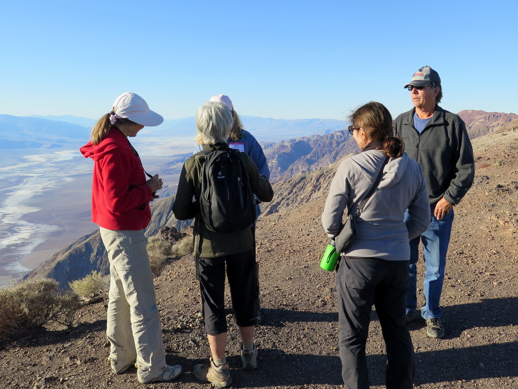
June 24th – Chivo Canyon and the Tapo Canyon Overloo
View more photos →
On a still cool Saturday morning, 15 cheerful hikers met on Westwood Street, and walked to the nearby Chivo Canyon Trailhead. We originally planned to hike to Matilija Falls, but since the NOAA/NWS was forecasting 90 degrees, just northwest of Ojai, we thought it wise to plan a local substitute hike.
show more
Our hike began along Trail #22 (shown on the RSRPD “Park Facilities Directory Map of Simi Valley and Oak Park), as it headed up Chivo Canyon. At 0.7 the mile mark, we turned left on Trail #23 and followed it through a side canyon as it climbed westward to an overlook that revealed a sweeping view of Tapo Canyon. Continuing downhill, we met Trail #24, and turned left heading back to Trail #22, taking us back to the trailhead. Despite the fact that Summer just began, there was still a good many wildflowers in bloom, including Heliotrope, Indian Pink, Datura, Bush Sunflower, Tree Tobacco, Indian Paintbrush, Bush Mallow, Cliff Aster, and Plummer’s Mariposa Lilly. All in all it was a short but enjoyable hike, covering about 4.5 miles round trip, and 600’ of elevation gain/loss.
show less
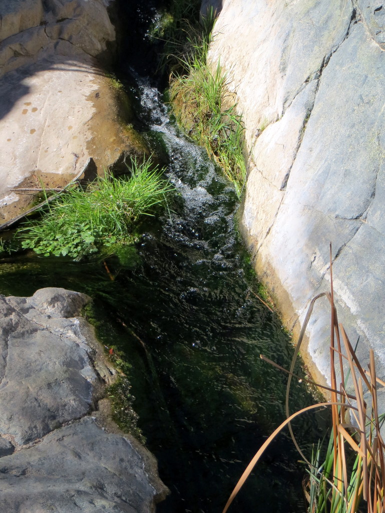
June 10th – Fish Canyon Narrows
View more photos →
22 hikers took advantage of a nice relatively cool late spring morning to hike the unique and beautiful Fish Canyon Narrows. We began our hike at the gate at the east “end” of Templin Highway north of Castaic Lake. After taking the obligatory group photos, we began by descending northeast along the closed paved road to a concrete bridge at the mouth of Cienega Canyon [which is quite overgrown].
show more
Passing by and continuing southward as the road turned to dirt we soon veered left (eastward) onto the abandoned easy-to-follow Warm Springs-Fish Canyon Truck Trail which passed through a narrow gorge and was bordered by a plethora of blooming buckwheat and lovely (but deadly) datura plants (aka jimson weed) with their large white lily-like blossoms; later there were blooming yuccas and yellow creek monkey flowers. After several paved creek crossings we reached the abandoned Cienega Campground (nearly three miles from our starting point) where one member of our group showed us a very interesting outdoor stand-alone “room” fashioned mostly from fallen tree branches in a shaded alcove. We immediately left the Truck Trail and headed north along a lovely shaded single-track trail for about a mile to “Pianobox” [an old mining claim] where there’s a campsite. The single-track trail ended as we entered the Fish Canyon Narrows and we found ourselves rock hopping, pushing through brush, and crisscrossing the creek to follow stretches of “use” trail for the next mile-and-a-half or so. The stream was flowing and provided a musical accompaniment as we hiked carefully through the narrow canyon bordered by very scenic reddish hundred-foot rock walls and populated with oaks and alders. We eventually reached the Rogers Trail Camp in a small oak-shaded clearing on an oak- and sycamore-shaded bench. After we took a much-needed lunch-and-rest break we returned the way we came and then returned home having completed an 11.5-mile hike with a little over 1,000’ of elevation gain/loss, a hike described in 2009 by Los Angeles Magazine as the best hike in Los Angeles!
show less
June 3rd – Ahmanson Ranch: Cave of Munits
View more photos →
>24 hikers gathered in the Ahmanson Ranch parking lot at the west end of Victory Boulevard in West Hills on a not-yet-hot late-spring morning for a hike in the Upper Las Virgenes Canyon Open Space Preserve which offers a variety of single-track trails and old dirt ranch roads in a landscape of grasslands, rolling hills, and a smattering of ancient oak trees.
show more
Our clockwise-loop hike began on a dirt trail that rose to the northwest quite steeply behind the information kiosk in the parking lot. After reaching the summit of the hill we stopped to catch our breath and enjoy the panoramic view of the surrounding area. Continuing we followed undulating single-track trails bordered by tall golden grass with occasional patches of blooming plants. Soon we reached another ridge from which (if you knew where to look) we could glimpse the opening of the cave that was our destination. We then descended northeast along a somewhat eroded “use” trail toward the cave. The “use” trail eventually joined Moore Canyon (dirt) Road and we turned left (north) onto it and followed it a short distance to the point at which the “use” trail leading up to the entrance to The Cave of Munits branched off to the left. We followed the steeply rising heavily eroded “use” trail to the cave’s entrance where we temporarily “installed” a climbing rope and most of the members of our group entered the cave. As described on the excellent Modern Hiker web site, “The walls of the interior fold and undulate into a seemingly endless series of side caves and back caverns … it’s ceiling is very tall and it can feel like you’re standing inside a natural rock cathedral … this area was spiritually important to the Chumash [Indians]. After exploring the interior of the cave some of the hikers exited by climbing out one of the cave’s chimneys and circling around on the mountainside to the entrance; the remainder returned the way they entered the cave. We returned to the parking lot along Moore Canyon Road. By this time the temperature had climbed into the 90’s so we decided to abandon the second part of our hike (a loop around Lasky Mesa) and returned home having completed a nice 4.1-mile hike with over 800’ of elevation gain/loss.
show less
May 21st – Wildwood Park Loop
View more photos →
>We had 21 hikers on today’s hike on a clear, cool day. We followed Mesa trail to Santa Rosa Trail and up Mountclef Ridge over to views of the Santa Rosa Valley. Descending to the Lower Santa Rosa trail led us to the paved road, then to the trail to Box Canyon. Hiking up this road led us back to Mesa Trail.
show more
We then went to Teepee trail and hiked down to Paradise Falls. Following Wildwood Canyon to Indian Creek trail led us back to the parking lot. The hike was just over 8 miles, and we all returned having enjoyed the weather and the rugged scenery.
show less
May 13th – Oak Flat Trail to Whitaker Peak
View more photos →
11 hikers met at the carpool point in Simi Valley on a cool clear morning. We then drove to the hike’s starting point north of Santa Clarita in a large dirt parking area just outside the Verdugo Oaks boy-scout camp (2,831’) where we discovered a large group of campers engaged in a costumed role-playing activity.
show more
As we began our hike, we headed southward up the well-maintained Oak Flat trail as it rose 1.5 miles through an oak woodland and then chaparral to the Whitaker Ridge dirt road (3,820’), enjoying scenic views to the east and north including Pyramid Lake. The trail and Whitaker Ridge Road were adorned with a variety of blooming plants including Yerba Santa, Catalina mariposa lilies, wooly blue curls, yellow mariposa lilies, bush lupine, golden yarrow, sticky monkey flower, and elderberry. An intermittent wind gusted as we hiked. We then followed the Whitaker Ridge Road southeastward down to its junction with Whitaker Peak Road but we mistakenly continued down toward Old Hwy 99 until the error was recognized. We reversed our direction and then followed Whitaker Peak Road southwestward up to its end (4,119’), enjoying “ever-widening vistas of fault-tortured canyon country” along the way and excellent panoramic views from the turnaround point including Lake Piru to the south and Castaic Lake to the east thanks to the wind which persisted. After a rest/lunch stop, we returned down Whitaker Peak Road to its junction with the Whitaker Ridge Road where six hikers decided to continue on down to Old Hwy 99 [aka Golden State Hwy] while the remaining five hikers returned the way they had come. After a short shuttle we returned home having completed a rewarding 11-mile hike with about 2,700’ of elevation gain.
show less
May 6th – Horn Canyon
View more photos →
12 hikers carpooled to the Horn Canyon trailhead adjacent to the Thacher School a few miles east of downtown Ojai on a cool overcast morning. Since a very light rain was falling when we arrived at the trailhead, we donned our rain gear. As our hike began, the trail rose gradually upward to the north along a dirt road flanked by an assortment of blooming plants/wildflowers.
show more
The route soon became a shady trail that followed a pleasant creek (with flowing water in it) as it continued up toward the Nordhoff Ridge; there was an amazing array of lovely wildflowers adorning the path highlighted by sticky monkey flower, Catalina mariposa lilies, and purple sage. After several easy stream crossings, the trail began to rise inexorably via switchbacks toward our destination. The customary views of the surrounding area were severely limited due to the continuing drizzle, but there were more beautiful wildflowers! Eventually we reached the Pines Trail Camp where the dead pine trees we encountered last year had been cut down and sawed into small sections (camping may be allowed again). After resting and eating lunch we returned the way we came, again admiring the beauty of the trail. The rain continued and we reached our vehicles somewhat wet, having completed a sometimes demanding 5.5-mile hike with 1,845’ of elevation gain/loss, vowing to return again next year.
show less
April 29th – Work Party: The North Ridge Trail
View more photos →
The April 29 Work Party was conducted on the North Ridge Trail, which was badly overgrown – nearly impassable in long stretches. The local Mormon Churches provided dozens of youth, from 12 to 17 years of age. Many adults were also present to work and help out. Even a medical doctor was present.
show more
In all some 95 people helped out – our best turn out ever. The trail is approximately 1 and 1/4 miles long. It was completely cleared! Thanks also goes to John Sabol, Martin DeGoey and Mike Kuhn for their good work.
show less
April 22nd – Hike the Descanso Trail and Visit Descanso Gardens
View more photos →
12 hikers carpooled to 150-acre Descanso Gardens in La Canada Flintridge on an already warm spring morning to begin a two-part outing. After walking a short distance from the main parking lot to the signed Descanso Trail trailhead (outside the Gardens), we began hiking through a pleasant oak woodland.
show more
Soon the trail climbed steeply uphill and we began to enjoy views of the San Gabriel and Verdugo mountains as well as the heavily wooded Gardens below. We continued mostly uphill along the trail as it led us southward through the San Rafael Hills to the Five Points junction where we spotted a deer. From there we followed the Cherry Canyon Fire Road to the abandoned Lookout Tower on Cerro Negro. Built in the 1950’s, the tower was equipped with a 138-decibel Chrysler Bell Victory air raid siren to be used to announce an enemy invasion. By this time the temperature was uncomfortably hot as we returned the way we came to the main parking lot having completed a 5-mile hike with nearly 1,000’ of elevation gain/loss. After stowing some of our hiking gear in our vehicles and paying the $9.00 ($6.00 for seniors) entrance fee, the group headed into the heavily wooded portion of the park (thus escaping the heat) with its inviting shaded pathways, admiring the lily-pad pool (with turtles), the Japanese Garden, the Ancient Forest, and a profusion of blooming flowers, bushes, and trees. Next we toured the Boddy House, originally the 12,000 square foot home of Manchester Boddy, the founder of Descanso Gardens (the house is now a museum and an interpretive center) and read about the park’s history before heading through the forest to the beautiful Rose Garden (lovely irises were also blooming). After a quick walk over to the Bird Observation structure overlooking the murky lake, we returned to Simi Valley having spent several hours in a spectacular environment well-worth the entrance fee.
show less
April 15th – Backbone Trail Part 8: Trippet Ranch to Will Rogers State Historic Park
View more photos →
Thirteen hikers carpooled to the eastern Santa Monica Mountains on another pleasant spring morning to hike the eighth (and final) section of the 67-mile-long Backbone Trail (BBT). After dropping off several shuttle vehicles at Will Rogers State Historic Park in Pacific Palisades we carpooled to the Trippet Ranch parking lot in Topanga State Park.
show more
We began our hike along the lush and lovely Musch trail as it ascended to the Eagle Springs Fire Road. The trail provided lots of shade as well as meadows with tall grass dotted with beautiful Catalina mariposa lilies and other wildflowers. We took a short break after reaching the fire road and watched a young deer as it tried to decide how to get around us, finally deciding to do so in the nearby brush. We continued eastward along another dirt road past the base of towering Eagle Rock to Hub Junction where we took another break under a new structure that provided seating, shade, and nice views. Continuing mostly uphill to the east on the dirt fire road, the route passed Cathedral Rock. Soon we turned left onto an actual trail (thanks to a BBT sign) and began the long descent toward Will Rogers State Historic Park (WRSHP), catching brief glimpses of the Los Angeles basin and views of the ocean toward Catalina Island and Palos Verde Peninsula along the way. After a short lunch break under a large oak tree, we reached “Chicken Ridge,” a well-named narrow isthmus with dangerous drop-offs on both sides made navigable by two bridges which provided excellent views. Continuing downhill, we reached the end [or beginning] of the Backbone Trail in WRSHP having hiked 11.3 miles with 1,600’ of elevation gain and 2,350’ of elevation loss. We headed home with a feeling of accomplishment and gratitude that we had nice weather during most of our always interesting and sometimes challenging traverse of the BBT with its gorgeous display of a vast array of blooming plants along the way.
show less
April 8th – Backbone Trail Part 7: Saddle Peak to Trippet Ranch
View more photos →
Despite the possibility of rain and the closure of a 3-mile section of Topanga Canyon Blvd for repairs, nineteen hikers met on yet another pleasant spring morning to tackle the seventh section of the Santa Monica Mountains Backbone Trail (BBT). After dropping off several shuttle vehicles at Trippet Ranch (in Topanga State Park),
show more
we carpooled up to the trailhead on Saddle Peak Road (near its intersection with Stunt Road). Our hike began along the western end of the short Fossil Ridge Trail which was awash in knee-high grass. Upon reaching its eastern end, we began descending the popular trail that runs through Hondo Canyon. It’s popularity soon became evident as we hiked along a series of switchbacks through a dense forest comprised mostly of oak and bay laurel trees. The trail was also adorned with ferns, moss-and-lichen-covered boulders, and a variety of blooming plants. Occasionally there were stunning views of the pink-colored sedimentary rock formations/cliffs (the Sespe Formation) that form the west side of the canyon. As the trail drew closer to Old Topanga Canyon Road it passed through grassy meadows sporting magnificent displays of wildflowers such as Catalina mariposa lilies, blue dick, and lupine. We then crossed a shallow creek and Old Topanga Canyon Road and used a trial-and-error approach to the maze of trails we then encountered (arguably the most confusing section of the BBT) as we made our way to Greenleaf Canyon Road which we followed a short distance to Topanga Canyon Blvd which we carefully crossed. The Dead Horse trail then led us steadily upward through chaparral until we reached a very large grass-filled meadow bordered by a fence which we followed to a ranch road leading a short distance to the Trippet Ranch parking lot, thus completing a very pleasant 7.2-mile one-way hike with 1,019’ of elevation gain and 2,211’ of elevation loss.
show less
April 1st – Towsley Canyon Loop
View more photos →
13 hikers met at the very busy Towsley Canyon trailhead, on a clear and warm early spring morning. Towsley Canyon has been a favorite wildflower hike in past years. Even during drought years, this route hasn’t failed us. A fraction of the anticipated wildflowers were in bloom, especially when compared to some of our recent Backbone Trail hikes.
show more
Our favorite Chocolate Lilies had not yet sprouted. Perhaps we were too early. Maybe the area is still recovering from six years of drought. We ended our hike with the Elder Loop trail. There we enjoyed a serious abundance of mostly lupine, all in the areas that recently burned. We can always depend on fire-followers, especially after a relatively wet winter. The hike was still quite enjoyable. Great views and good company is always a good reason to hike. Total distance for our hike was 7.7 miles, with about 1,625 elevation gain and loss.
show less
March 25th – Backbone Trail Part 6: Malibu Canyon Road Trailhead to the Stunt Road Trailhead
View more photos →
>Eighteen hikers met on another pleasant spring morning to tackle the sixth section of the Santa Monica Mountains Backbone Trail. After dropping off several shuttle vehicles along Saddle Peak Road (at the Stunt Road intersection) we carpooled to Malibu Canyon in search of parking near the Piuma Road trailhead.
show more
After a couple of futile attempts, we finally parked in Tapia Park and hiked 0.5 mile to the signed trailhead along Piuma Road. As we began our hike, we crossed a creek where the destructive effects of the winter’s rain was quite evident. However, we immediately entered a dense oak woodland (ferns were abundant and a variety of wildflowers were blooming) as the trail rose steadily upward for about 2.5 miles to a road crossing. After crossing Piuma Road the trail climbed noticeably more steeply through continuing shade (mostly provided by ceanothus) until we crossed a flowing stream and soon emerged into an open section of trail bordered with thousands of blue dick wildflowers as well as smatterings of other wildflowers; also we had excellent views of the surrounding area. Eventually we stopped for lunch at a point where there was shade but also a great distant view to the northwest. We continued our hike up the mountain to Saddle Peak where the view toward the ocean was blocked by the incoming fog. We climbed up on some beautiful rock formations near the peak and enjoyed spectacular inland views. We then descended past a large water tank to Stunt Road and our shuttle vehicles, thus completing an 8.0-mile one-way hike with about 2,700’ of elevation gain and 900’ of elevation loss.
show less
March 18th – Backbone Trail Part 5: Latigo Canyon Trailhead to Malibu Canyon Trailhead
View more photos →
Twenty-two hikers tackled the fifth section of the Santa Monica Mountains Backbone Trail on a pleasant cool, spring-like winter morning (perfect for hiking). After dropping off several shuttle vehicles along Malibu Canyon Road (at the Piuma Road intersection) we carpooled to the Latigo Canyon trailhead.
show more
We began our hike along the trail as it headed northwest down into a heavily shaded canyon adorned by a variety of blooming wildflowers. We then headed northeast through a riparian woodland along a seasonal creek with running water (which we crossed at least ten times), passing several meadows filled with bright green grass. The trail then rose and fell as it wound along chaparral-covered slopes on its way to Corral Canyon Road. After crossing the road, we soon found ourselves walking among (and on) a variety of stunning sandstone rock formations. We decided to take our lunch break atop the highest such formation where we examined the ruins of an old dwelling and enjoyed the views afforded by our high perch. (unfortunately an offshore marine layer hid the ocean from view). After lunch, we headed east along the Mesa Peak Fire Road toward (but not to) Mesa Peak. This section of the hike provided excellent views of the mountains and valleys to the north. About seven miles into the hike we turned north and began a three-mile descent through an oak woodland into Malibu Canyon where we had left our shuttle vehicles, thus completing a 10.3-mile one-way hike with about 1,500’ of elevation gain and a little over 3,000’ of elevation loss. We retrieved the vehicles we had left along Malibu Canyon Road as well as the shuttle vehicles at the Latigo Canyon trailhead and headed home, looking forward to hiking the remaining three sections of the Backbone Trail.
show less
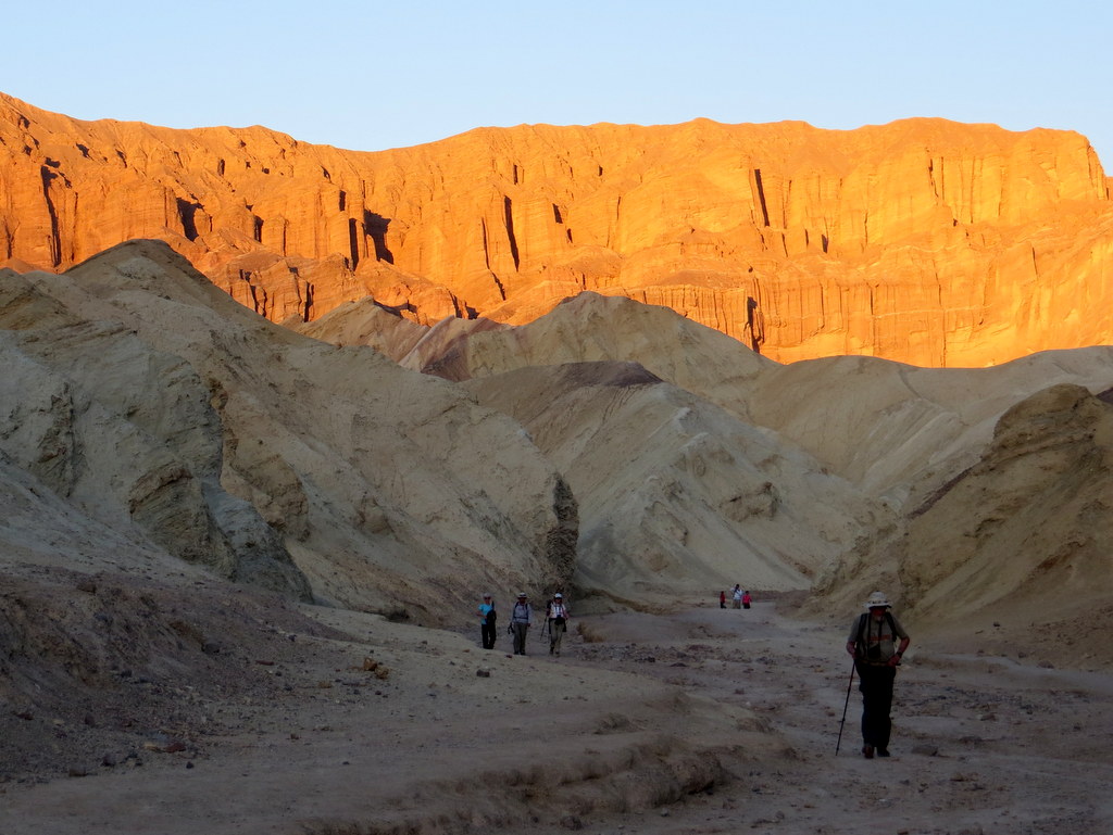
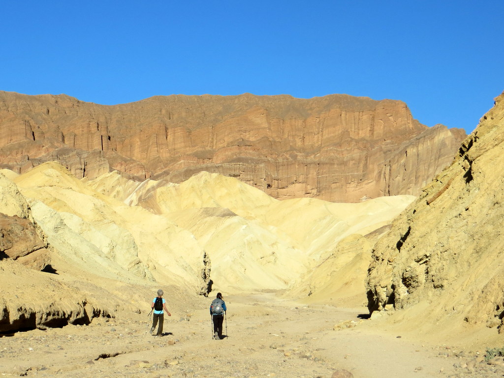
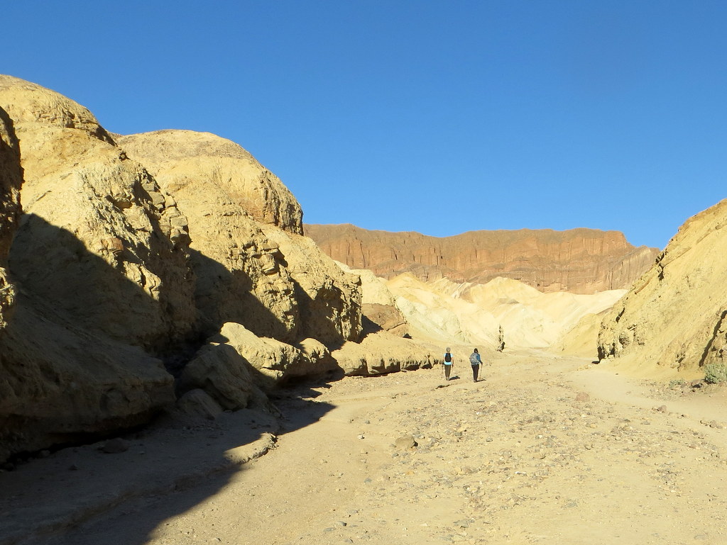
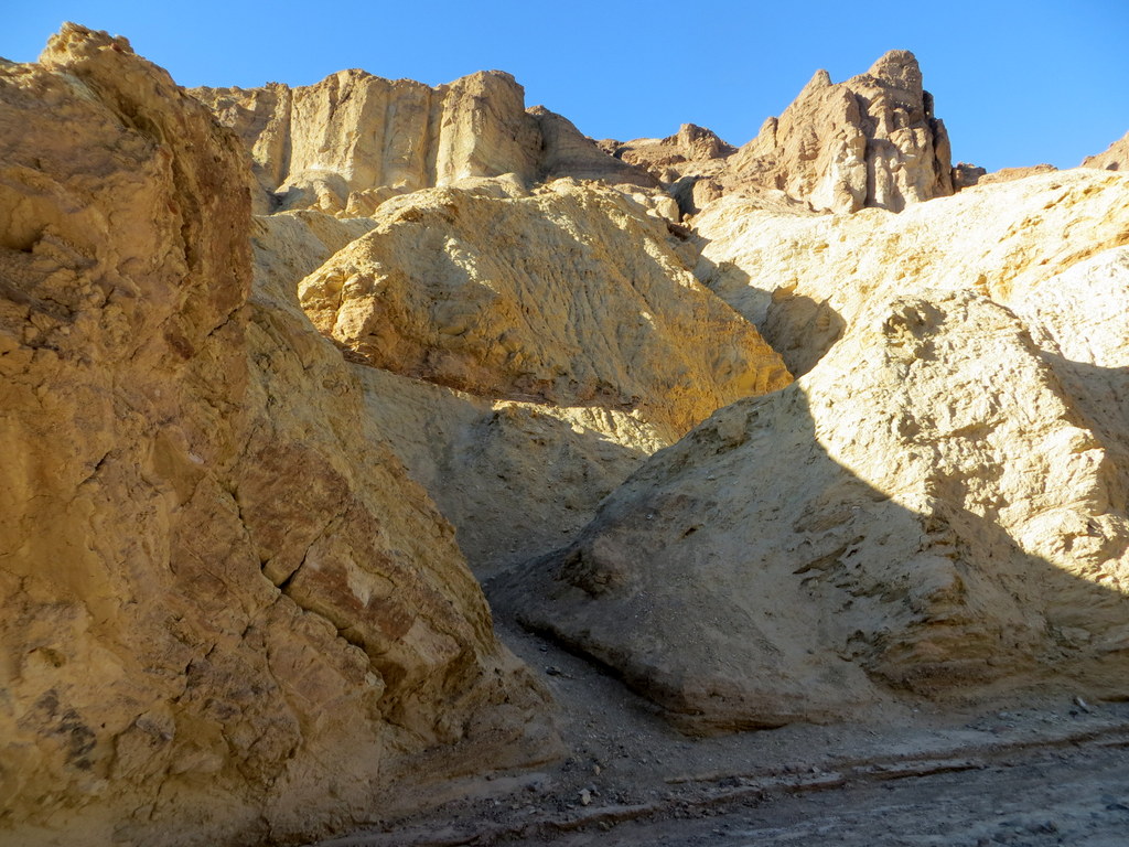
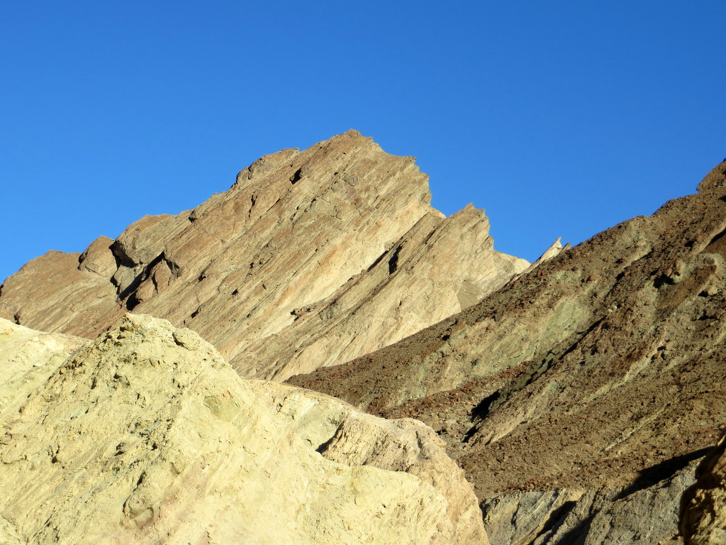
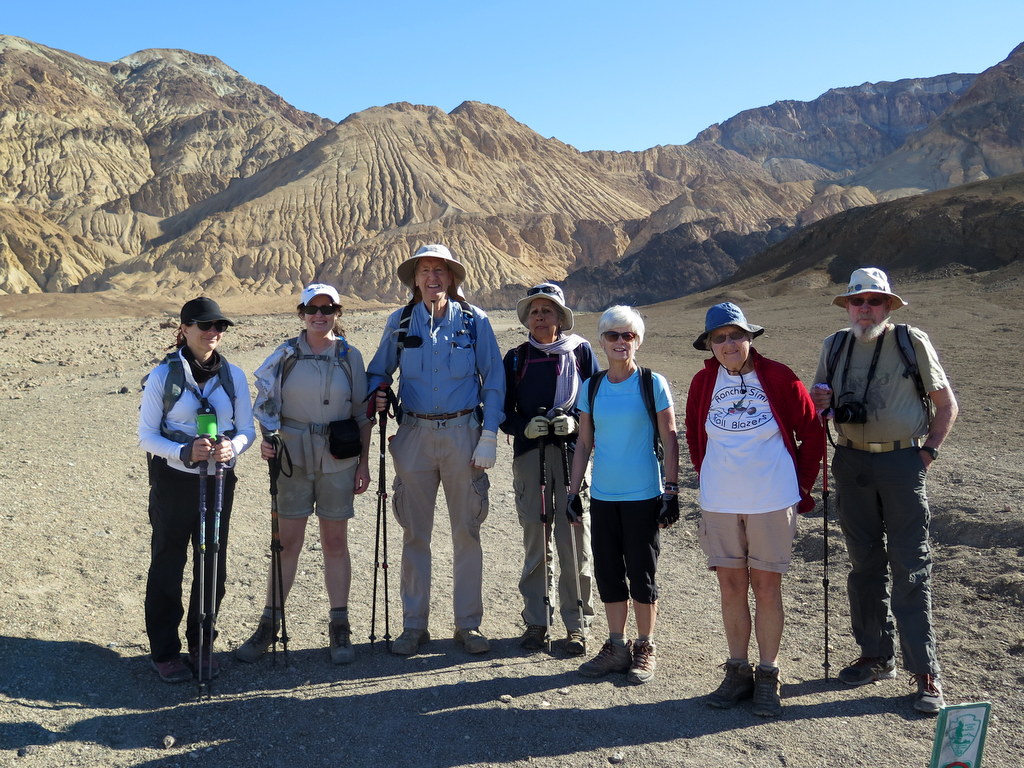
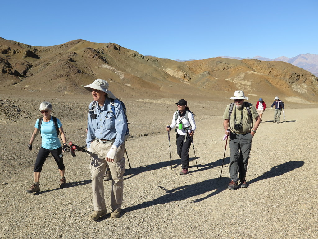
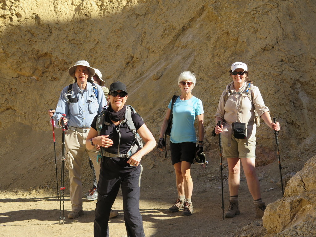
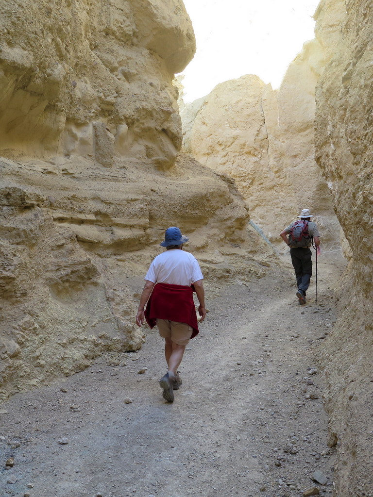
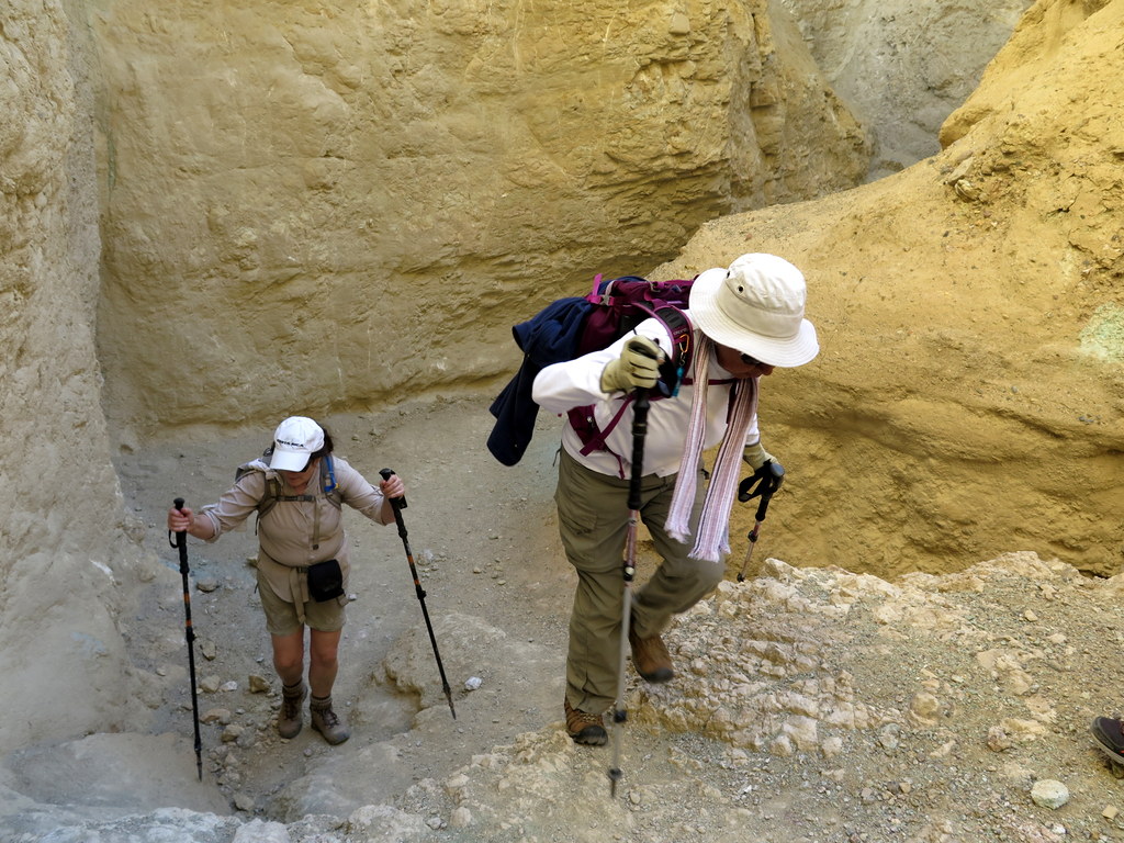
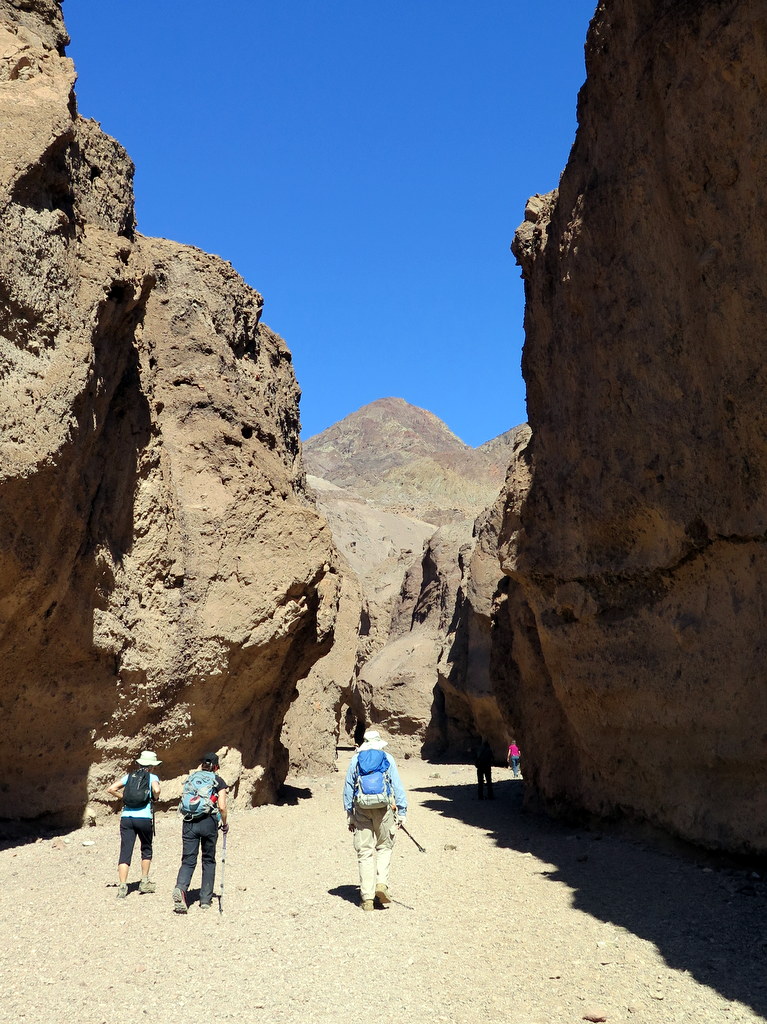
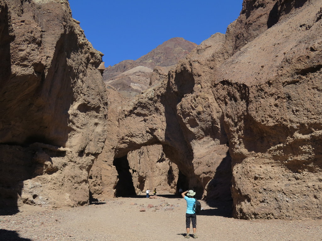
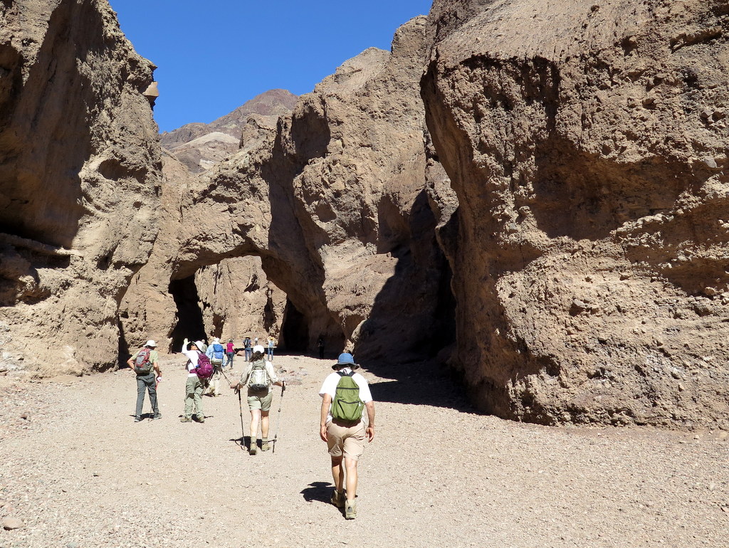
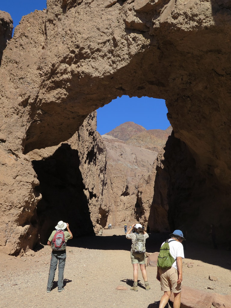
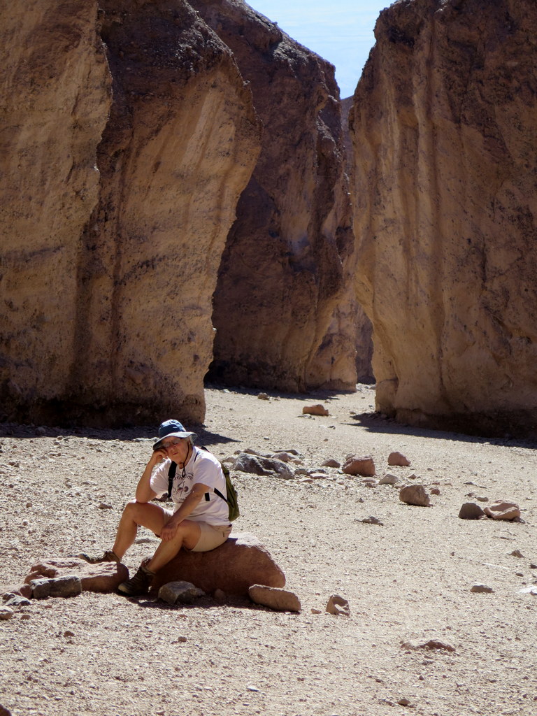
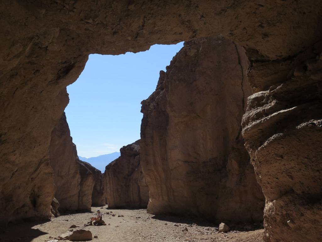
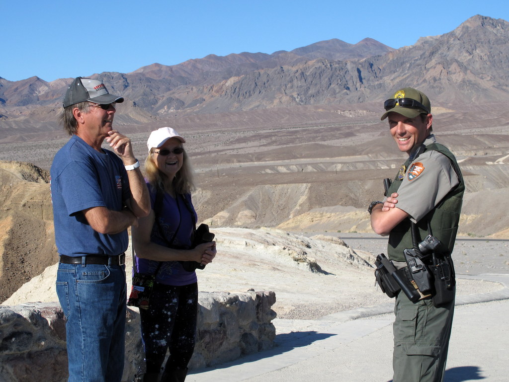
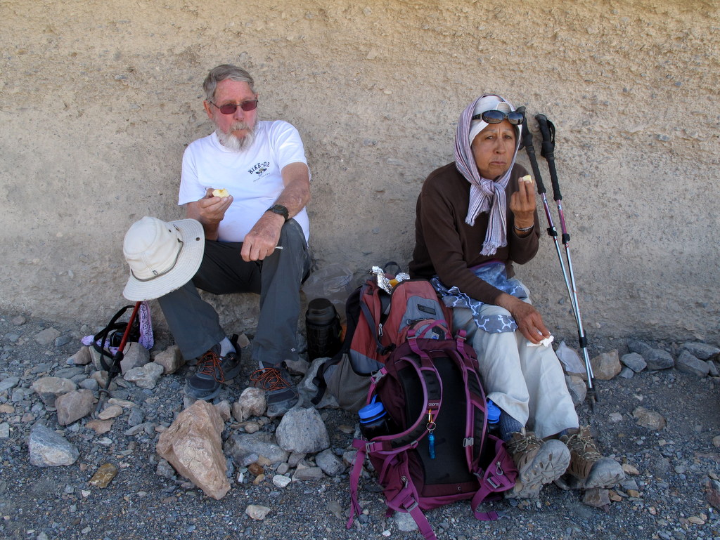
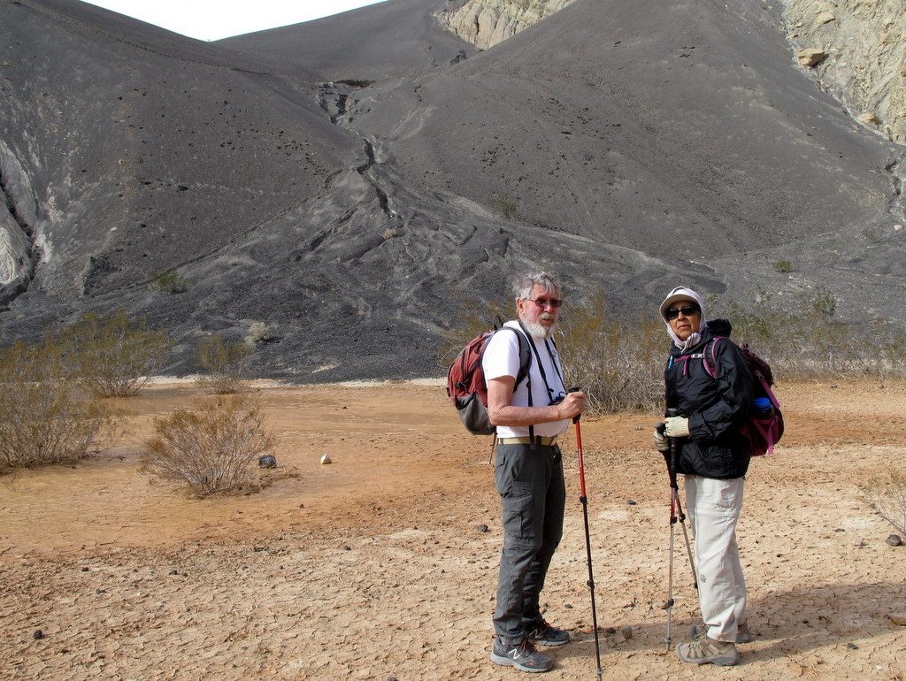
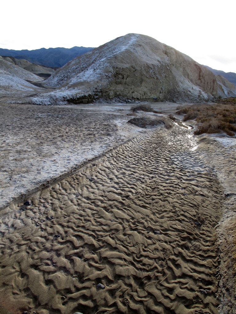
March 1st – 5th: Death Valley National Park (Furnace Creek Campground)
March 1, 2017 – Arrival and Golden Canyon to Red Cathedral
10 Rancho Simi Trailblazers gathered at the Furnace Creek Campground (200’) along CA Hwy 190 adjacent to the Death Valley National Park (DVNP) Visitor Center for several days of camping, hiking, and sightseeing in a starkly scenic desert setting consisting of salt flats and sand dunes in the valley itself flanked on the east and west by towering mountain ranges capped by Telescope Peak (11,049’)
show more
in the Panamint Mountains to the west. Many interesting canyons penetrate the surrounding foothills/mountains and provide a myriad of hiking opportunities with stunning geologic sights. After setting up camp, we drove a few miles south on Hwy 190 and then Badwater Road to the entrance of Golden Canyon, a popular hiking destination. This canyon has been described as “The finest badlands scenery in the park: bright red rocks quickly give way to dark brown conglomerate and layers of green mudstone.” The relatively narrow canyon quickly proved to be every bit as scenic as its description indicated. Given our late start we decided to take the left fork at the first trail junction we reached; it was a “use trail” which led us upward to the Red Cathedral where we took some photos. NOTE: An earlier start and proper route finding would lead hikers several miles further up to Zabriskie Point, a noted scenic lookout (but not to worry, we drove up there the following day). We returned the way we came and returned to the campground having hiked 2.8 miles with 560’ of elevation gain/loss. That evening after dinner we enjoyed a campfire and an accomplished neighbor’s singing.
show less
Golden Canyon to Red Cathedral
View more photos →
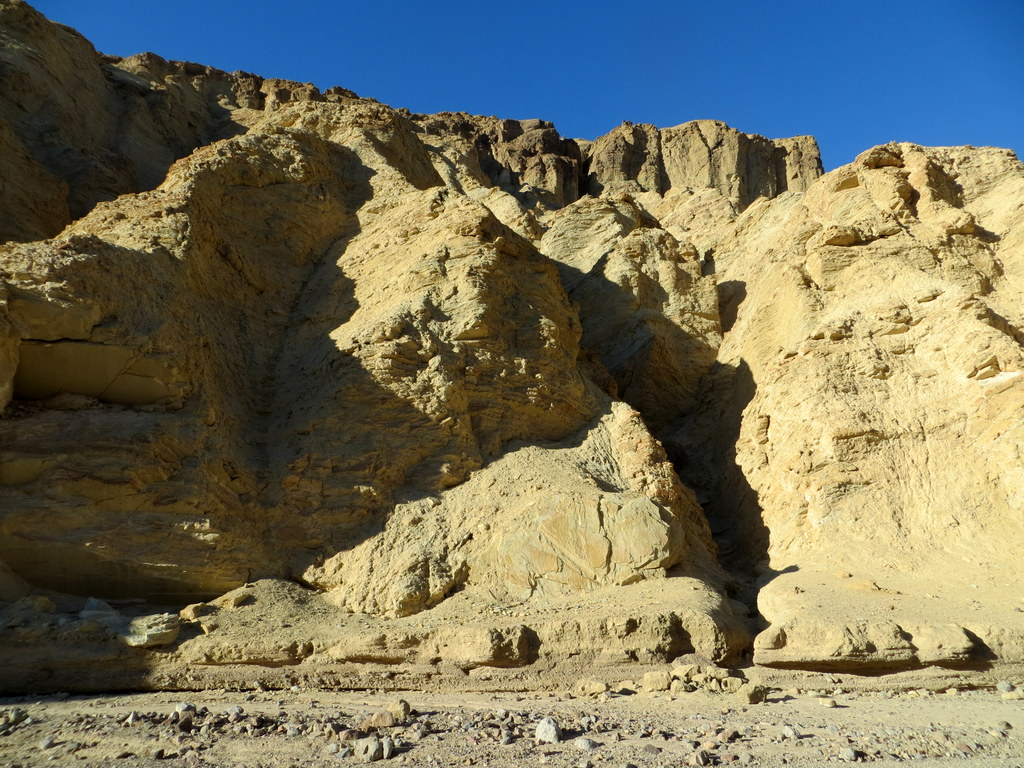
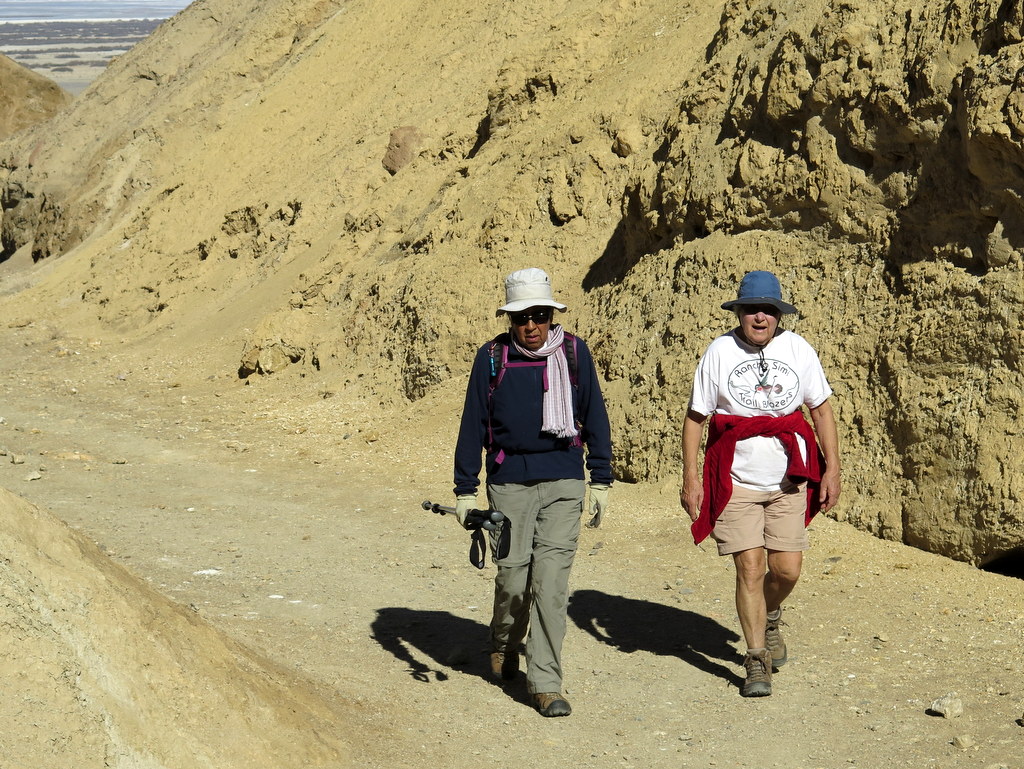
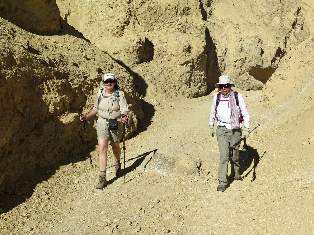
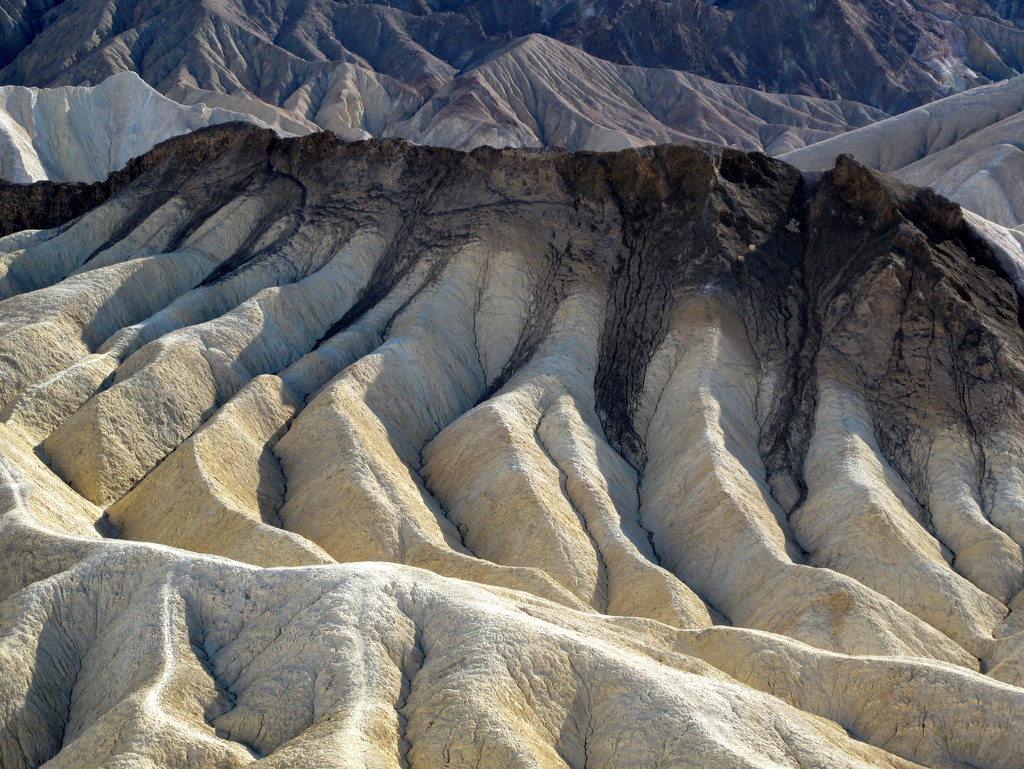
March 2, 2017 – Desolation Canyon, Badwater Basin, Natural Bridge, Zabriskie Point, and Dantes View
After breakfast we carpooled south past the Golden Canyon parking lot to the parking area at the Desolation Canyon trailhead. NOTE: The unpaved road leading to the parking area is poorly marked (a “no camping” sign is set back some distance from Badwater Road so it’s easily missed).
show more
A description of this hike states that “This lightly used route follows a narrow serpentine canyon through a landscape of colorful badlands.” We found this to be true as we hiked through the scenic canyon and climbed (and later descended) several dry waterfalls, helping each other up/down as needed. Eventually we emerged atop a promontory that provided views of the surrounding area. We returned the way we came, completing a 4.4-mile hike with 823’ of elevation gain/loss.
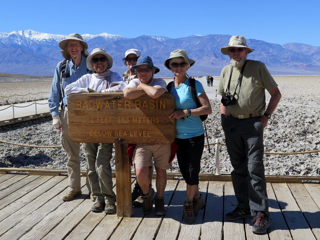
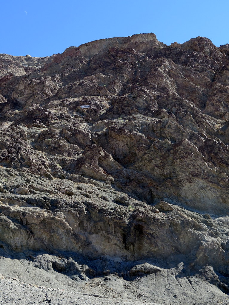
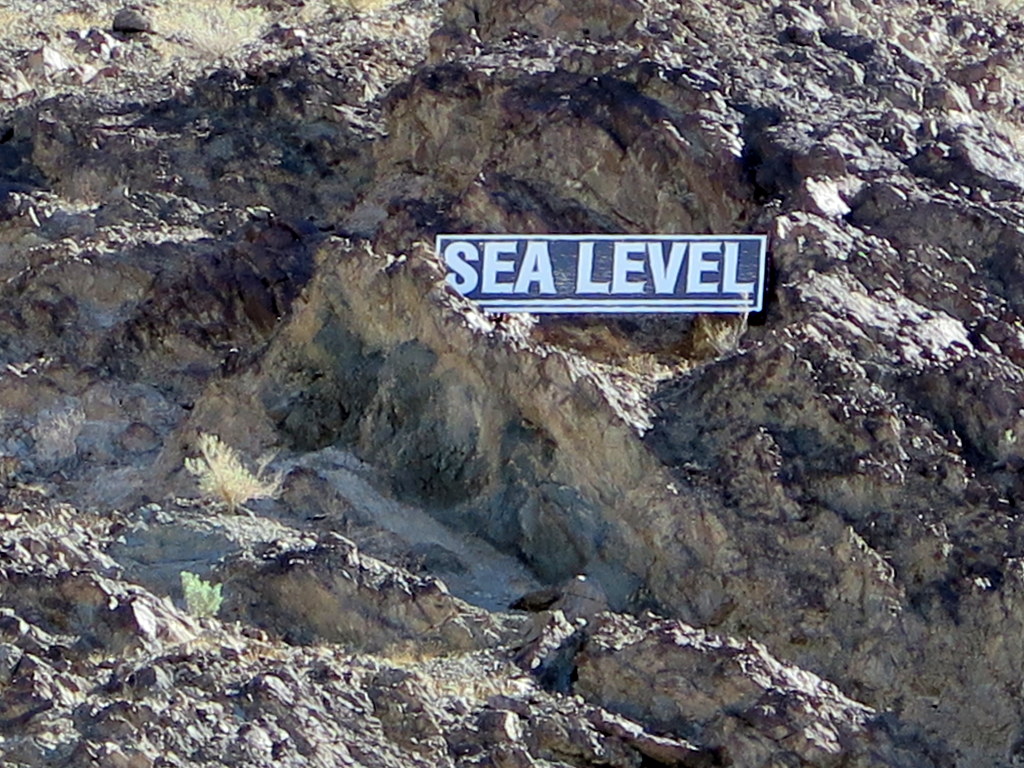
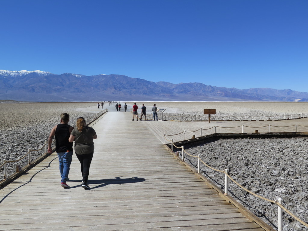
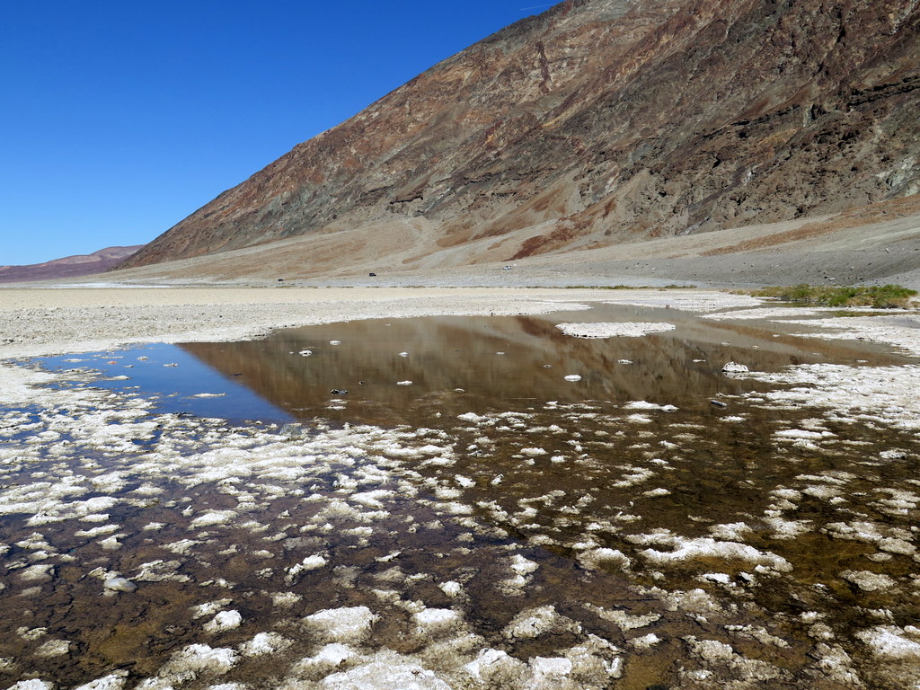
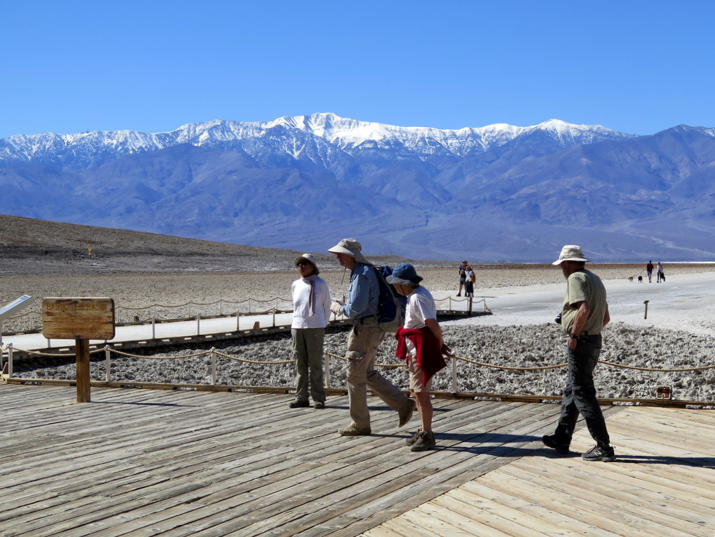
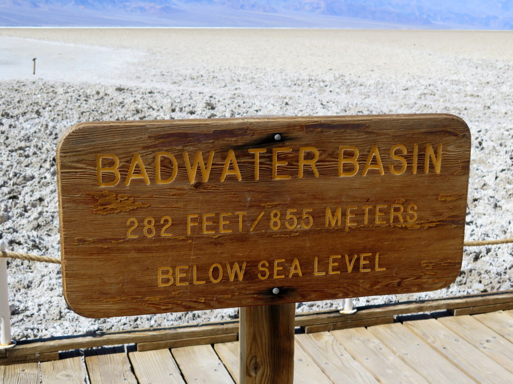
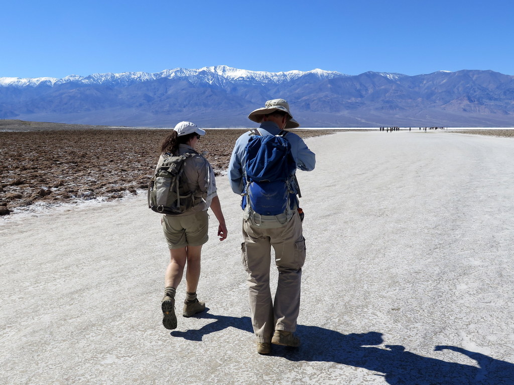
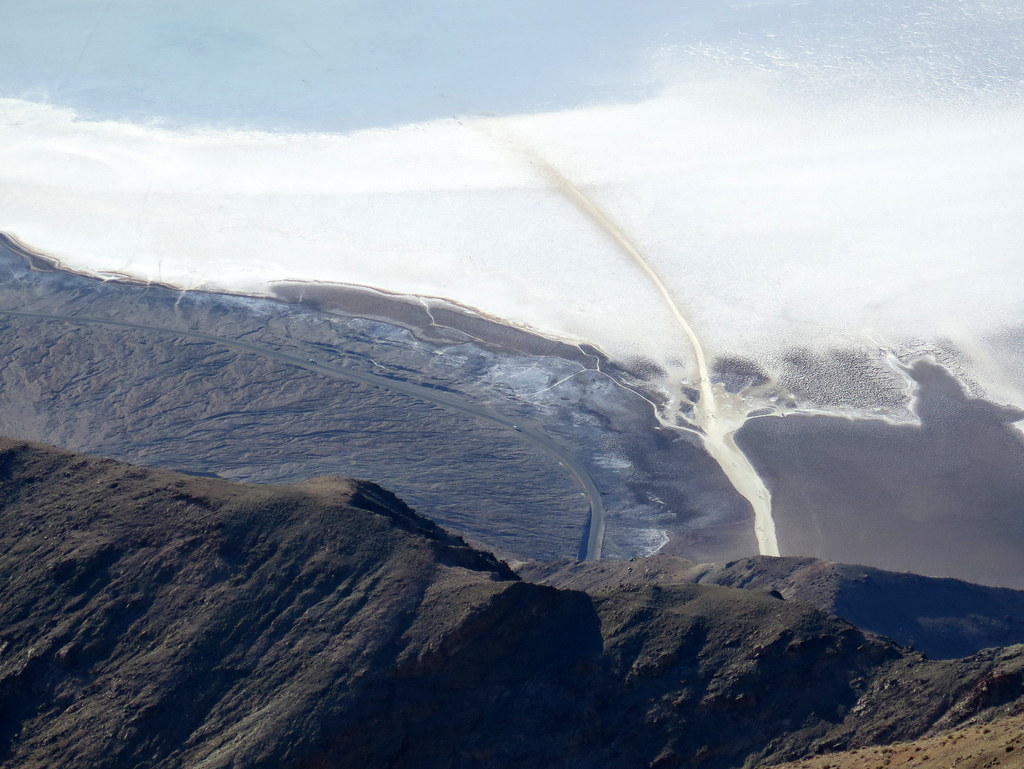
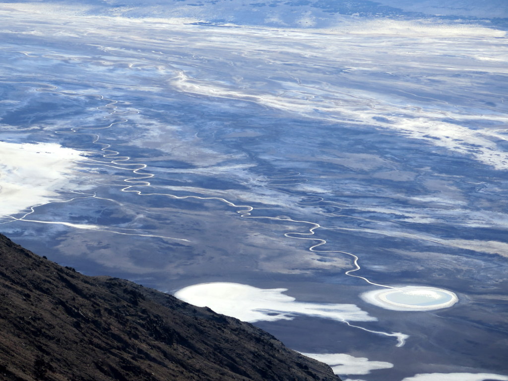
Next we drove to Badwater Basin “Noted as the lowest point in North America (282’ below sea level)” and followed a wide footpath out into the salt flats. We returned to our vehicles having walked 1.4 miles with 15’ of elevation/gain loss. It was unusual (to say the least) to see a sign on the nearby mountain’s wall showing the sea level nearly 300’ overhead.
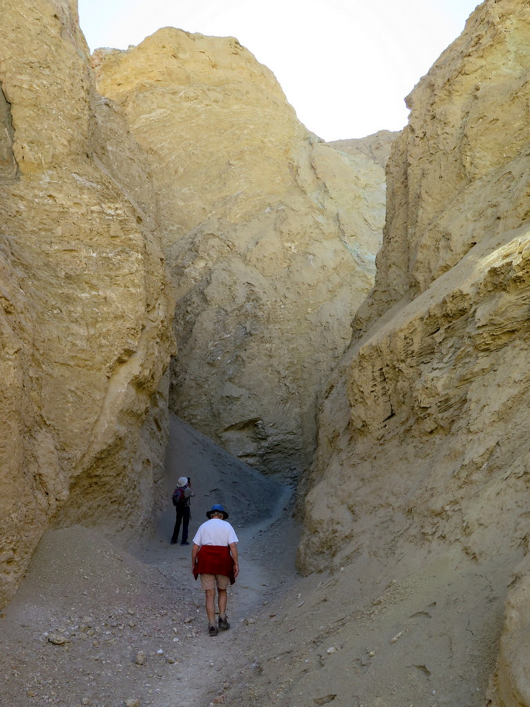
We then drove a short distance back toward Golden Canyon and hiked to Natural Bridge, “a rare rock span that arcs across the narrow shady defile of lower Natural Bridge Canyon.” We followed the canyon a short distance past the bridge, stopping for a lunch break along the way. We returned to our vehicles the way we came, completing a 1.4-mile hike with 324’ of elevation gain/loss.
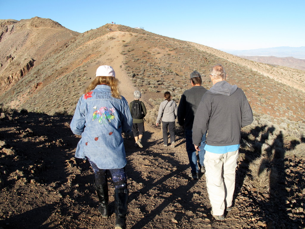
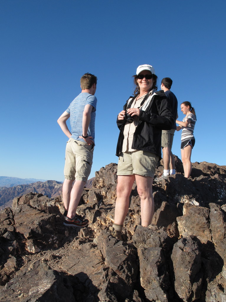
Next we undertook the long drive to Dante’s View (5,476’) via Hwy 190. Along the way we stopped at Zabriskie Point (705’) to enjoy the spectacular views available there. Dante’s View from the parking lot at the end of the access road is near the edge of the Black Mountains on the east side of Death Valley; “it gives the best overall views of the southern half of the park” looking down on the Badwater salt flats (-282’) and westward to the Panamint Mountains and snow-capped Telescope Peak (11,049’). We hiked a short distance down to another observation point, enjoyed the views, and returned to our vehicles having completed a 0.6-mile hike with 129’ of elevation gain/loss. We then returned to the Furnace Creek Campground.
show less
Desolation Canyon
View more photos →
Badwater Basin
View more photos →
Natural Bridge
View more photos →
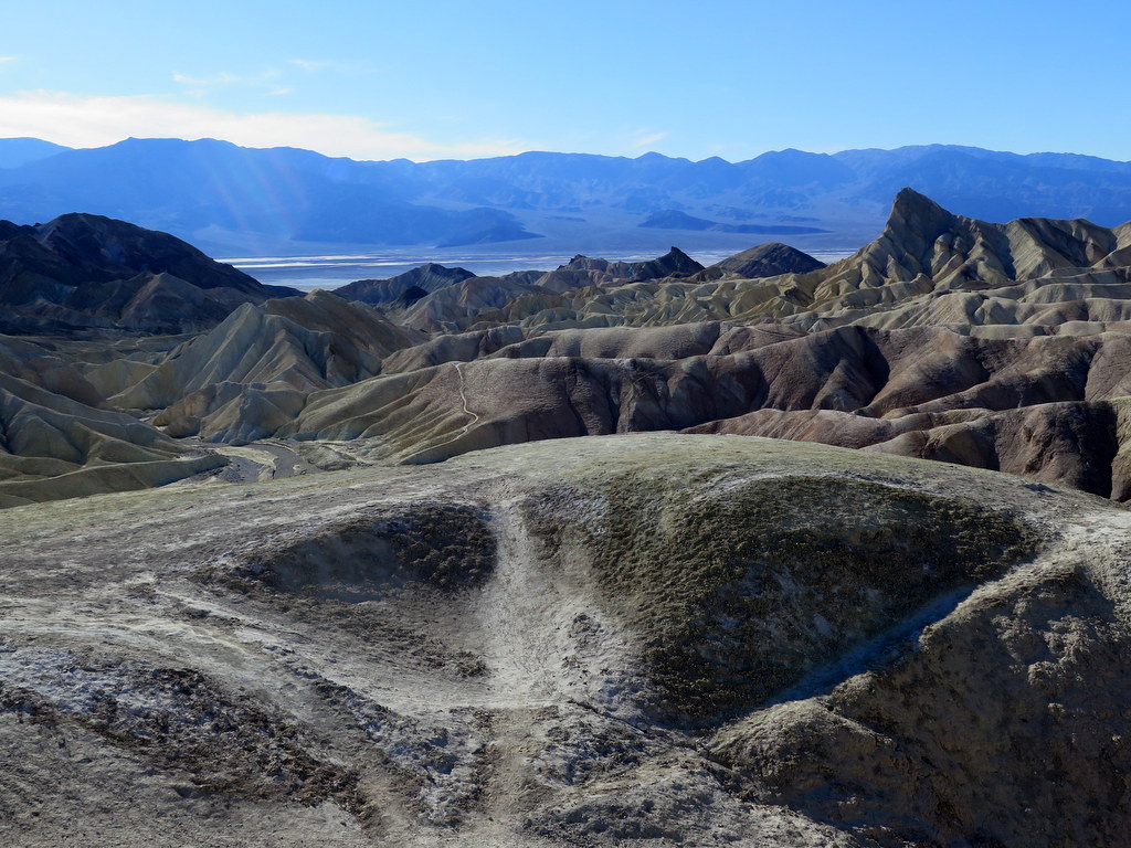
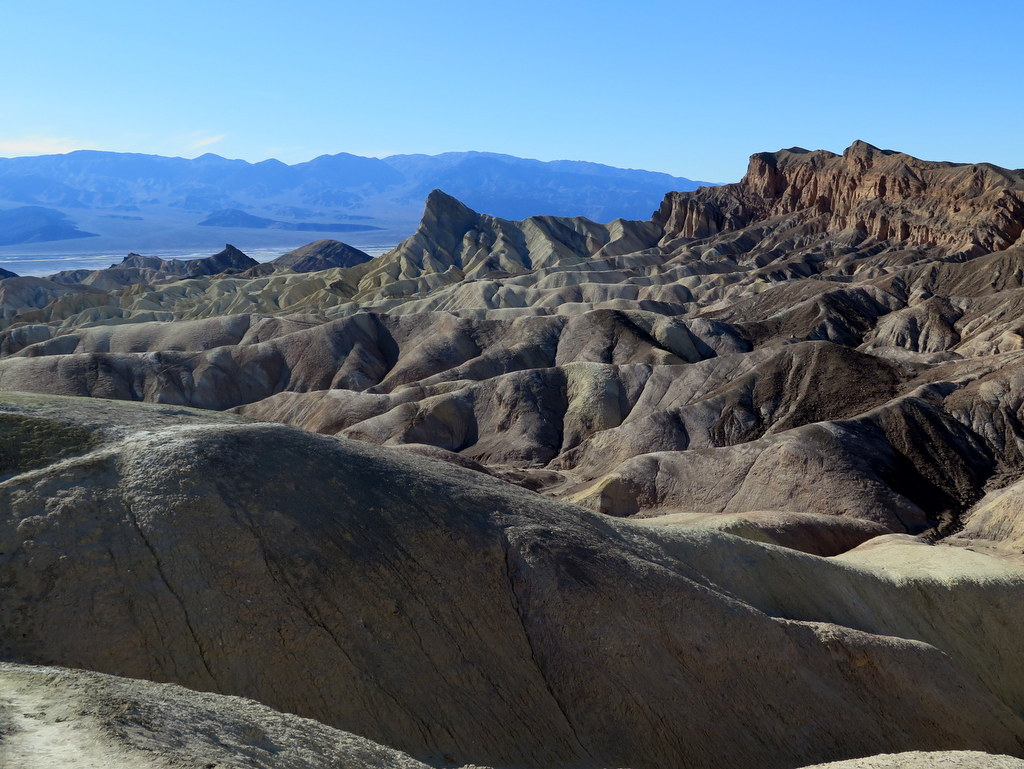
Zabriskie Point
View more photos →
Dantes View
View more photos →
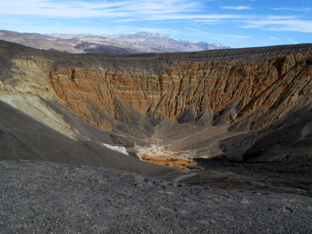
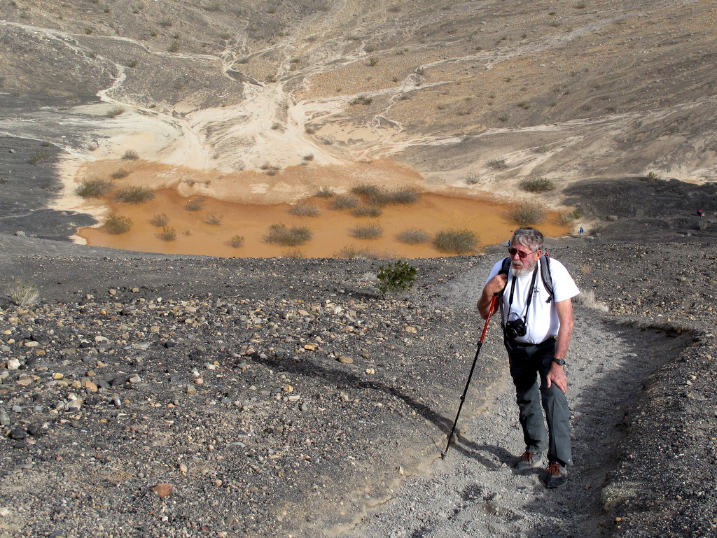
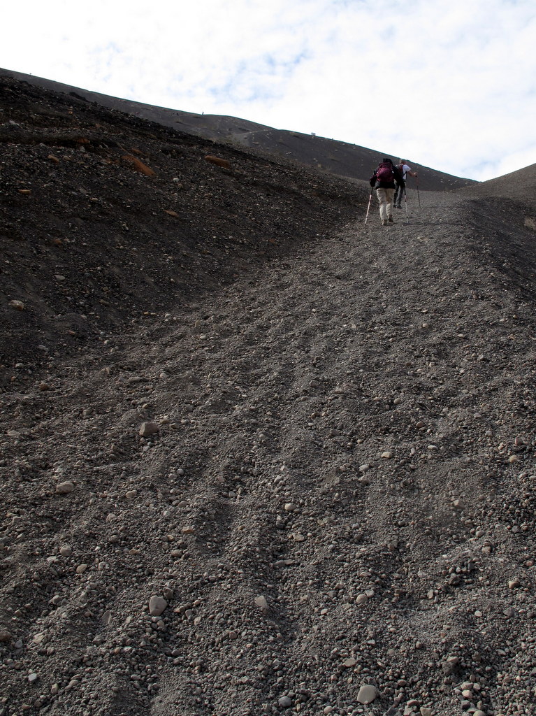
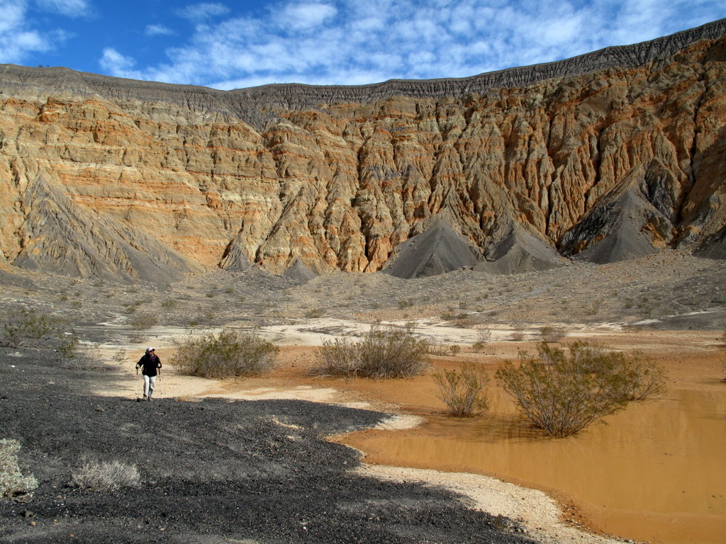
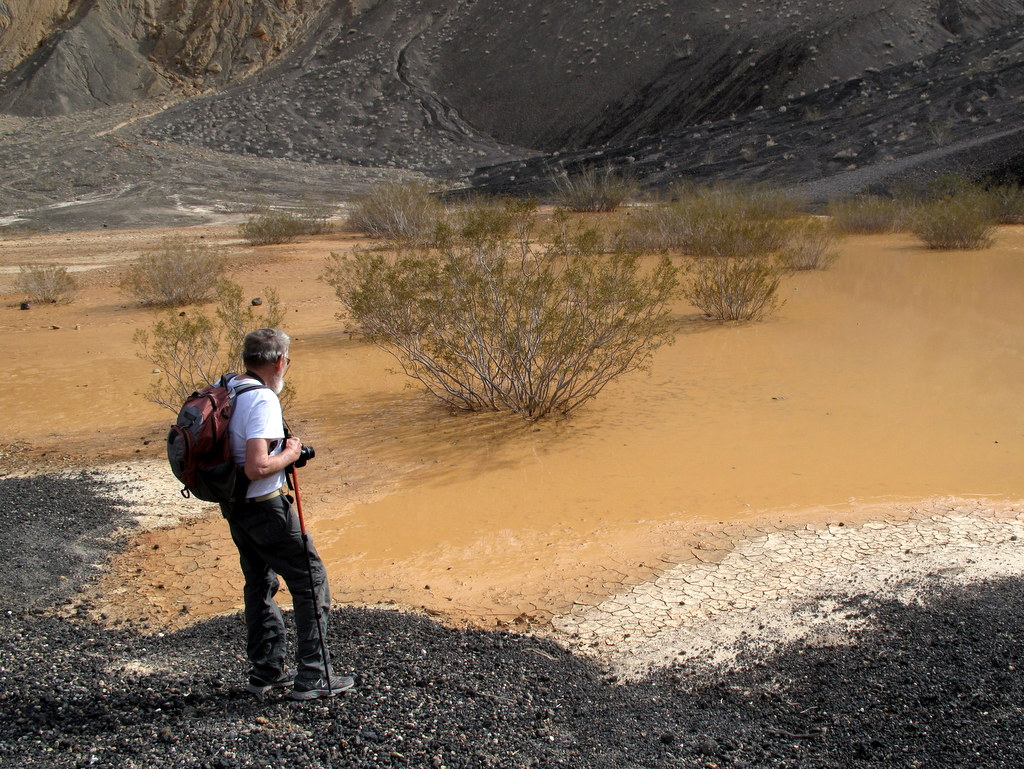
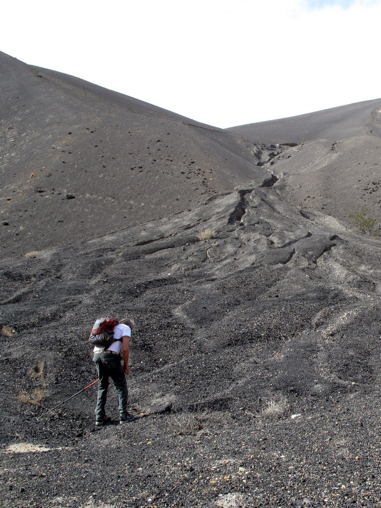
March 3, 2017 – Mosaic Canyon, Ubehebe Crater, and the Salt Creek Trail
After breakfast we carpooled north and then west on Hwy 190 to the Mosaic Canyon trailhead near Stovepipe Wells Village. Shortly after entering the canyon “hikers [enter] a narrow chasm where beautiful stream-polished marble and mosaic breccia are well-exposed.” The hike then continues up-canyon requiring climbing (and later descending)
show more
dry waterfalls until it reaches a high impassible dry waterfall where we turned around. We returned the way we came, completing a 5.1-mile hike with 1,040’ of elevation gain/loss.
Next we headed east on Hwy 190 and then north on Scotty’s Castle Road until we eventually reached a fork in the road where we turned left and followed the access road to the Ubehebe Crater (the right fork to Scotty’s Castle was closed due to flooding in Grapevine Canyon caused by a severe thunderstorm on 10/18/2015). The Ubehebe Crater is a large volcanic crater 600’ deep and half a mile across; it was “created by steam and gas explosions when hot magma rising up from the depths reached ground water.” Three hikers descended to the bottom of the crater (thus subjecting themselves to the steep climb back up to the rim); the remaining hikers followed the trail around the rim of the crater enjoying views into the crater as well as panoramic views of the surrounding landscape including snow-capped mountains in nearly every direction (they were subjected to strong winds for a portion of their hike). The rim hikers completed a 2.2-mile hike with 750’ of elevation gain/loss.
Next we headed back toward the campground, stopping along the way for a pleasant walkabout on the Salt Creek Trail, a boardwalk “trail” along the creek that allowed us to view the rare Salt Creek Pupfish, a very small species which is on the Endangered Species list. Our walkabout was 1 mile with about 10’ of elevation gain/loss. We then returned to the campground.
show less
Mosaic Canyon
View more photos →
Ubehebe Crater
View more photos →
Salt Creek
View more photos →
March 4, 2017 – Fall Canyon, Rhyolite (ghost town), Goldwell Open Air Museum, and Beatty, NV
After breakfast we carpooled north on Hwy 190 and then Scotty’s Castle Road to the Titus Canyon turnoff which we followed to the parking lot at the mouth of Titus Canyon; the same parking lot serves as the trailhead for Fall Canyon. NOTE: Titus Canyon remains closed due to the October, 2015 flooding in Death Valley.
show more
We began our hike by heading north on a well-defined trail that led to the actual mouth of Fall Canyon. The canyon “is remote and little-visited; deep and moderately narrow for many miles with occasional shaded, cave-like passageways of great beauty … smooth granitic walls [sometimes have] a bluish tint.” We hiked through the scenic canyon mostly on soft gravel until we reached a towering impassible dry waterfall. After taking some photos we returned the way we came, completing an 8.4-mile hike with 1,200’ of elevation gain/loss.
After some discussion we decided to visit Rhyolite (ghost town) and the Goldwell Open Air Museum (even though Titus Canyon was closed to vehicular traffic). After a fairly long drive we roamed around the mostly vanished mining ghost town of Bullfrog and then ambled around the outdoor art museum admiring the unique sculptures on display.
Lastly we decided to drive the few miles to Beatty, NV to get gasoline, ice cream, Subway sandwiches, Denny’s, etc. As we drove back to the campground from Beatty we were battered with high winds. The campground experienced similar high winds most of the night, making sleeping difficult.
show less
Fall Canyon
View more photos →
Rhyolite (ghost town) and the Goldwell Open Air Museum
View more photos →
March 5, 2017 – Strike camp and drive home Darwin Falls and Randsburg
Due to the high winds the night before (and the resultant lack of sleep) everyone packed up and headed home, skipping the traditional breakfast at the Furnace Creek Inn.
show more
Three of the hikers stopped and hiked to Darwin Falls which is located in the mountains southwest of Panamint Springs, but still within the park. The easy one-mile trail eventually became a streambed with flowing water as it led us to the lovely waterfall and pool in a seemingly unlikely location in an otherwise arid landscape. Two hikers visited Randsburg, a living ghost town, on the way home. Gold was discovered near the town in 1895 and a mining camp quickly formed, and was named Rand Camp.
As we crossed the desert between Panamint Springs and Olancha we were assaulted by gale-force winds blowing sand and dirt at our vehicle; visibility was sometimes as poor as a couple of car lengths. We also encountered intermittent rain showers most of the way home from Olancha.
All-in-all we had a great trip to a national treasure, hiking 29.6 miles with 5,111’ of elevation gain/loss (including Darwin Falls).
show less
Randsburg (living ghost town)
View more photos →
Darwin Falls
View more photos →
February 25th – Backbone Trail Part 4: Encinal Canyon Road Trailhead to Latigo Canyon Road Trailhead Shuttle
View more photos →
On a clear chilly winter morning after dropping off several shuttle vehicles along Latigo Canyon Road, nineteen hikers carpooled from Simi Valley to the point along Encinal Canyon Road at which the Santa Monica Mountains Backbone Trail (BBT) begins its descent into Trancas Canyon.
show more
Shortly after we began our hike along the fourth section of the BBT, we began hearing the pleasant sound of rushing water, a sound seldom heard in recent years. Soon we could see the nearby stream which was swollen by recent rain. We crossed the stream on a bridge and then followed the stream up-canyon through a pleasant woodland. After trading pleasantries with a large National Park Service ranger-led group of hikers and crossing the stream on a second bridge, the trail began climbing to the east through chaparral and ceanothus. It then wound through upper Zuma Canyon, providing excellent views of a nice waterfall to the northwest, until we reached Kanan Dume Road just north of tunnel #1. After a lunch/rest stop, we followed the trail as it led uphill to the south and then eastward over the tunnel and into more woods in Newton Canyon. The erosive effects of recent downpours along most of our hike’s route were quite evident, but the scenery was beautiful as were blooming flora (such as Indian paintbrush, blooming ceanothus trees, miner’s lettuce, ferns, bright green grasses, and Indian warrior plants) and the various flowing streams lent a soothing quality to much of the hike. Eventually the trail rose to meet Latigo Canyon Road, across which we had parked our shuttle vehicles. We returned to Simi Valley having completed a 7.6-mile one-way hike with around 2,000’ of elevation gain and 1,400’ of elevation loss on yet another beautiful day for hiking.
show less
February 11th – Backbone Trail Part 3: Mishe Mokwa Trailhead to Encinal Canyon Road Trailhead Shuttle
View more photos →
After dropping off several shuttle vehicles along Encinal Canyon Road, sixteen hikers carpooled to the parking lot opposite the Mishe Mokwa trailhead on Yerba Buena Road where we began our hike along the third section of the Santa Monica Mountains Backbone Trail (BBT) on another pleasant winter morning.
show more
As we headed east along the south flank of the mountain, we encountered some bicycle riders and lots of runners. The early morning rain had stopped but had left puddles and muddy stretches of trail behind. However, there were great views of mountains and coastal valleys gleaming with beautiful green grasses. There were also blooming wildflowers (particularly shooting stars) and the ubiquitous white blossoms on the ceanothus trees. After a while we reached the road crossing at Little Sycamore Canyon Road where we encountered a large group of hikers being led by National Park Service rangers [for a fee] along the same route; also we were joined for a few miles by Dr. James Caballero the author of Mileage Hiking Maps [one of our hike leaders had the opportunity to hike the BBT for the first time with “Doc” in 2006]. We crossed the road and climbed up along a short new section of the BBT (which allowed us to avoid trespassing) to its junction with the Etz Meloy Motorway (an old dirt road) from which there were panoramic views to the north (toward the San Fernando Valley and to the south (toward the ocean). Eventually we reached a section of trail that descended via lots of switchbacks to the road crossing at Mulholland Highway. We stopped for a lunch/rest break among some pine trees immediately after crossing Mulholland Highway. The final mile of the Day 3 hike led us along a pretty section of trail (where we spotted several Indian warrior plants) to our shuttle vehicles parked along Encinal Canyon Road, completing a 10.3-mile one-way hike with 973’ of elevation gain and 1,680’ of elevation loss on another beautiful day for hiking.
show less
February 4th – Backbone Trail Part 2: Backbone Trailhead (across from Mishe Mokwa Trailhead) to Encinal Canyon Road Trailhead Shuttle
View more photos →
After dropping off several shuttle vehicles at the Big Sycamore Canyon Campground parking lot, sixteen hikers carpooled to the northern (upper) end of Yerba Buena Road at Triunfo Pass to hike the second section of the Santa Monica Mountains Backbone Trail (BBT) on a cool foggy winter morning. The hike began at the “Mushy” Mokwa trailhead.
show more
The muddy trail rose to the west through heavy chaparral to a junction with a short very muddy connector trail which led to the Sandstone Peak Trail (the remainder of our route was nearly “mudless.” As we gained elevation we had clear views to the north of the reddish-colored Echo Cliffs (a long stretch of sheer vertical sandstone rock faces) against the green side of Boney Mountain, and Balanced Rock, a huge house-sized boulder precariously balancing atop a smaller boulder. We passed by the spur trail leading up to Sandstone Peak and continued hiking near Tri-Peaks, the tops of which were covered in fog. We then began our long descent into Big Sycamore Canyon along the Chamberlain Trail which was bordered by beautiful bright green grasses, blooming ceanothus trees, moss-and-lichen-covered boulders, and scattered wildflowers. After a while we were treated to awe-inspiring views of Big Sycamore Canyon and beyond as well as Serrano Valley. We stopped briefly at Chamberlain Rock (named for Henry Chamberlain, a beloved local who died in 1945). Continuing our descent we were greeted by a variety of blooming wildflowers. At the junction of the Chamberlain Trail and the Old Boney Trail we took a lunch/rest break. We then followed the Old Boney Trail as it descended to the main fire road in the bottom of Big Sycamore Canyon. Along the way there was an amazing number of shooting stars. As we walked the four miles through the canyon to the campground we observed a variety of wildflowers and tall bright green grasses and encountered several easy water crossings. We reached our shuttle vehicles having completed a gorgeous 12.6-mile hike with 1,400’ of elevation gain and over 3,000’ of elevation loss.
show less
January 28th – Backbone Trail Part 1: Ray Miller Trailhead to the Big Sycamore Canyon Trailhead Shuttle
View more photos →
The nearly 70-mile-long Backbone Trail (BBT) winds through the Santa Monica Mountains National Recreation Area (SMMNRA) from the mouth of La Jolla Canyon in Point Mugu State Park to Will Rogers State Historic Park (SHP) in Pacific Palisades. On its way it crosses three major canyons – Big Sycamore Canyon, Malibu Canyon, and Topanga Canyon.
show more
It travels along ridgelines that offer spectacular views of the Pacific Ocean, the Channel Islands, unique rock formations, deep canyons, and, given a normal rainfall, a dazzling array of wildflowers in season. It passes through grasslands, valleys, and oak woodlands and crosses seasonal streams. NOTE: This is the first of eight (8) trip reports that will be filed as we make our way from the west end of the BBT to its east end over the next two-and-a-half months.
On a clear winter morning with a pleasant temperature (but with a “wind advisory”), 18 hikers carpooled to the Big Sycamore Canyon Campground (where we dropped off four shuttle vehicles) and then over to the nearby Ray Miller trailhead in La Jolla Canyon in the Santa Monica Mountains, ready to embark on the first of eight Saturday day-hikes which will cover the entire SMMNRA Backbone Trail. As the Ray Miller trail climbed via gentle switchbacks up to the Overlook Fire Road, it afforded views of several of the Channel Islands and provided some shelter from the strong winds we encountered (which also provided unusually clear views of the area). As we neared the Overlook Fire Road we were “attacked” by gale-force winds but we persevered. The mountainside was pleasantly green and a few wildflowers were blooming. The BBT then followed the fire road to the Wood Canyon Vista Trail (also part of the BBT). Along the way the hikers were treated to lushly green panoramic views of La Jolla Valley to the west and Boney Mountain, Serrano Valley, and Big Sycamore Canyon to the east. The trail then descended into Big Sycamore Canyon, passing a small number blooming flowers and blossoming bushes, until we reached the dirt road in the bottom of the canyon as the wind abated. We took a lunch/rest break at the junction, taking advantage of the availability of drinking water (from a faucet), a picnic table with benches, and a good vantage point from which to watch several bicycle riders go by on their way up and down the canyon. As we resumed our hike and headed downstream (we actually had to wade across running water twice) toward our shuttle vehicles, we were serenaded by beautiful bright green South American birds in the bare sycamore trees (the birds are not native to the area, but were released or escaped into the wild some years ago). We eventually arrived at our shuttle vehicles, completing a 9.8-mile one-way hike with 1,100’ of elevation gain, looking forward to hiking the second section of the BBT next week.
show less
January 14th – Cheeseboro Canyon – Cheeseboro Ridge Loop
View more photos →
19 hikers (+ one dog) carpooled to the Cheeseboro Canyon trailhead in the Simi Hills on a cool clear winter morning with a forecast of strong winds [fortunately, as is frequently the case with weather forecasting, we only encountered light breezes]. Since our hike was following several days of intermittent rain we anticipated beautiful mountainsides and we weren’t disappointed!
show more
We spotted a lone coyote ambling across a grassy open area as we headed north on the Cheeseboro Canyon trail toward Shepherd’s Flat. It was obvious that it had rained as we skirted lots of mud puddles, but we had no trouble avoiding all but a little of the actual mud. After about three miles of nearly level hiking we reached Sulphur Springs but we could not discern any stench of Sulphur. From there the trail rose steadily, but with little incline, to Shepherd’s Flat. So far the scenery had been quite pretty and the day was very pleasant. After a short break we headed east on the Sheep Corral Trail to its junction with the Cheeseboro Ridge Trail (an Edison Road) which we followed south as it climbed several hundred feet to a nice viewpoint at which we enjoyed a spectacular view of the canyons and mountains to our east/northeast, including snow-covered peaks in the San Gabriel Mountains and the nearby bright green mountainsides. Continuing on along the ridge trail the beautiful surroundings persisted. Eventually we followed a connector trail back down into Cheeseboro Canyon and returned to our vehicles completing a 9.8-mile hike with 1,300’ of elevation gain/loss.
show less
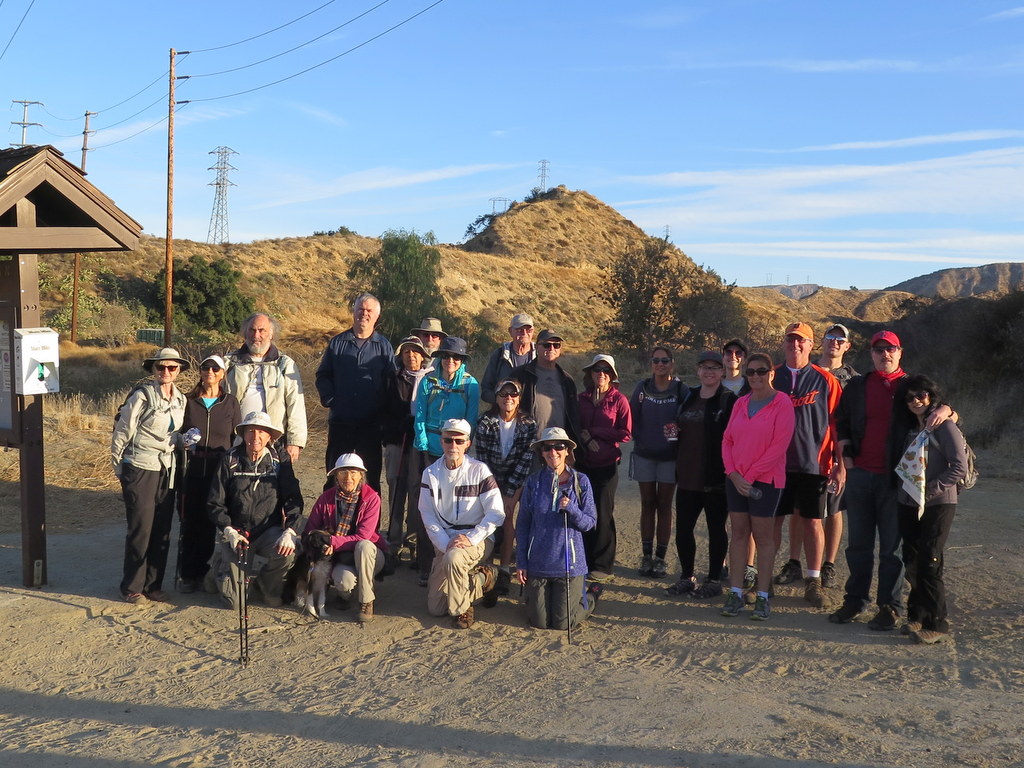
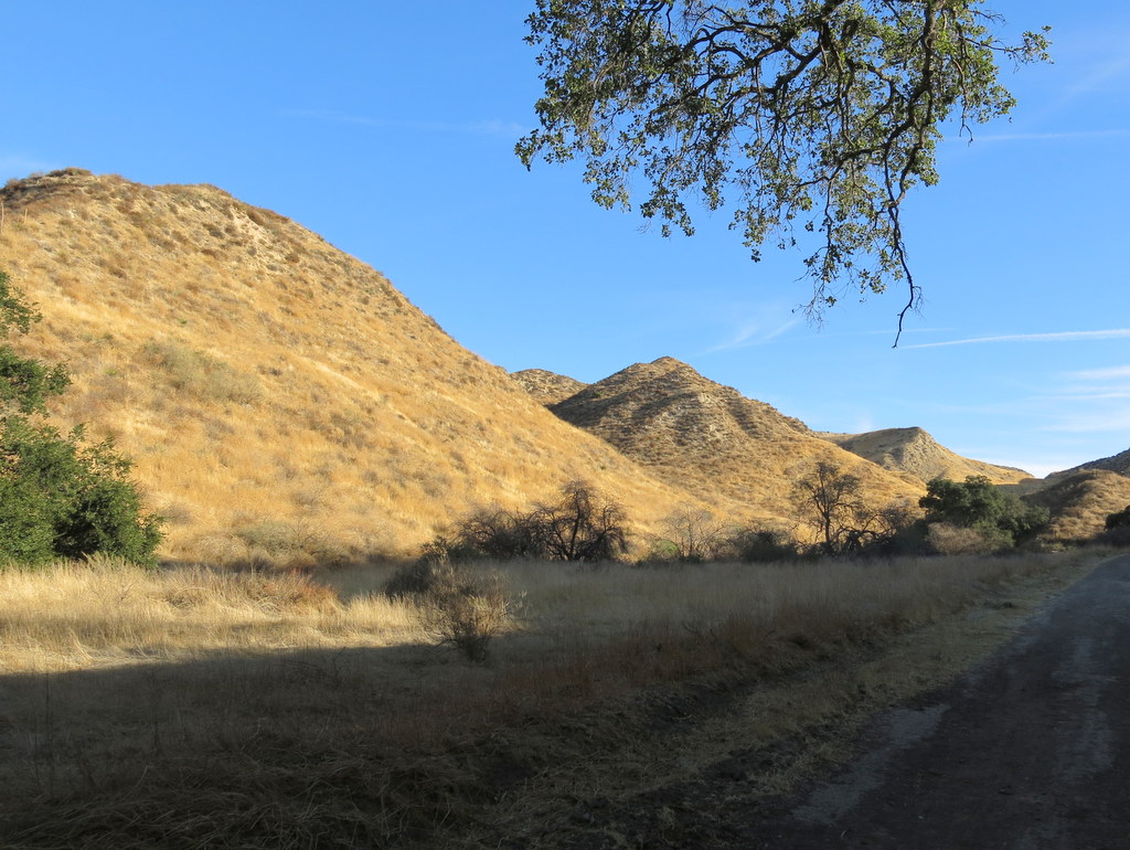
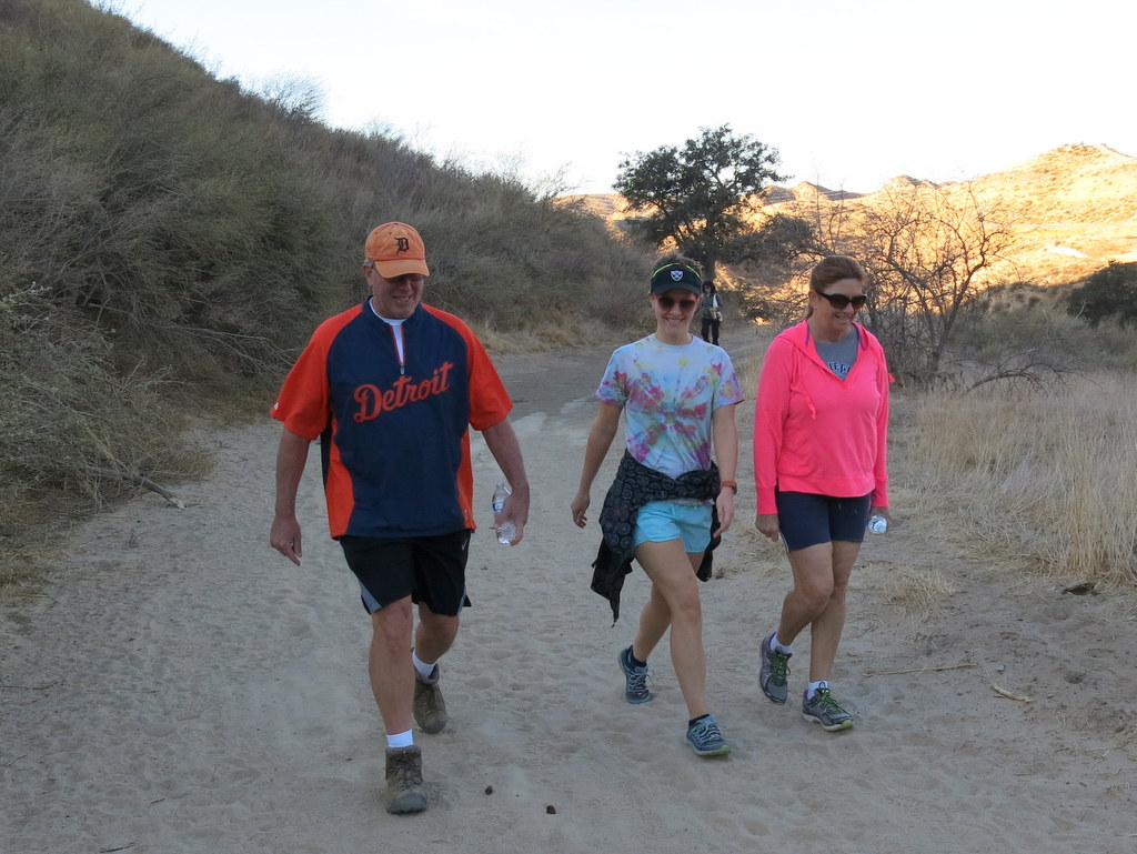
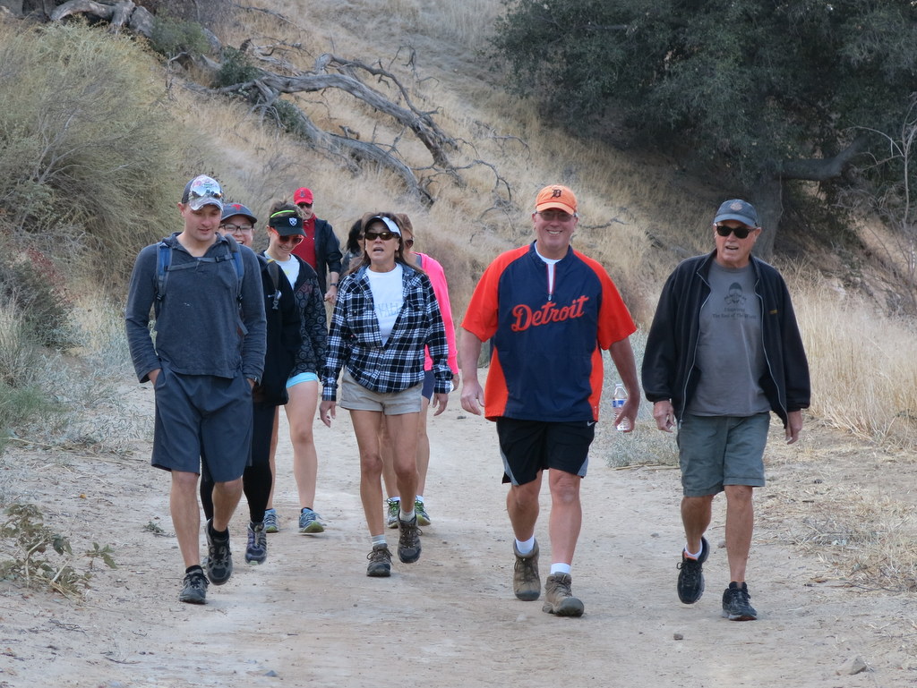
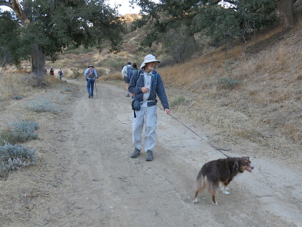
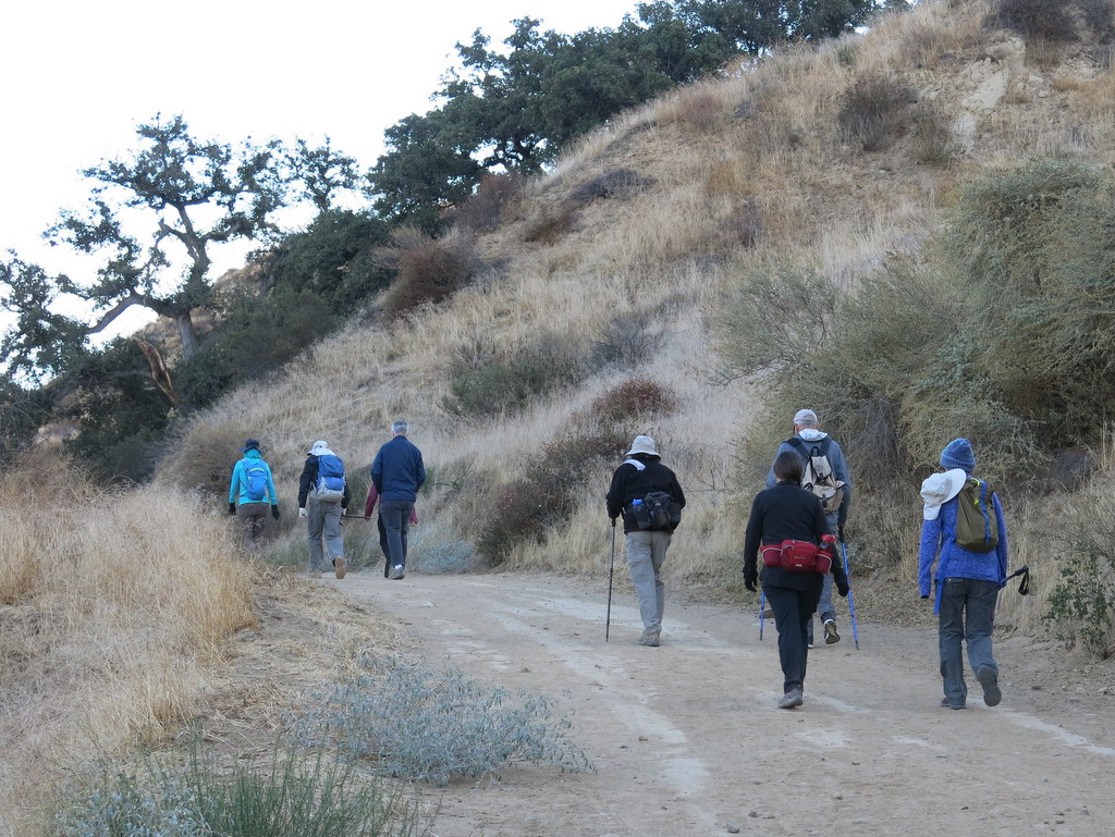
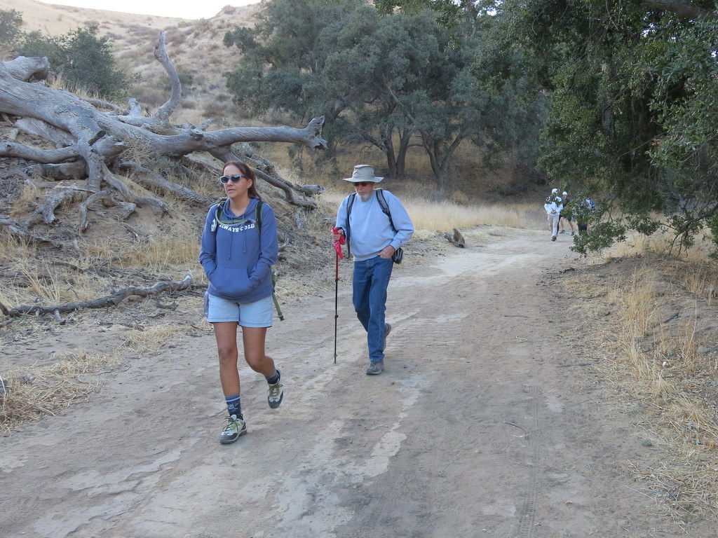
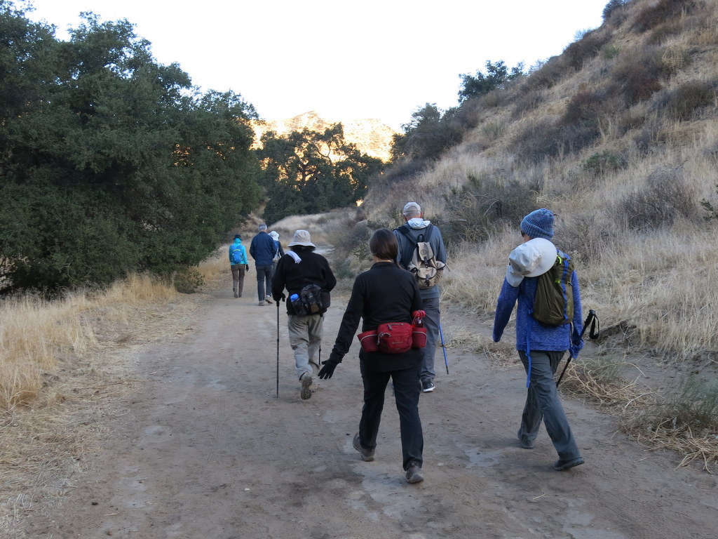
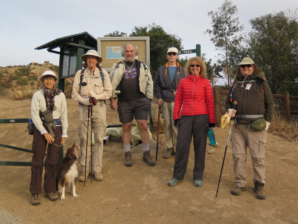
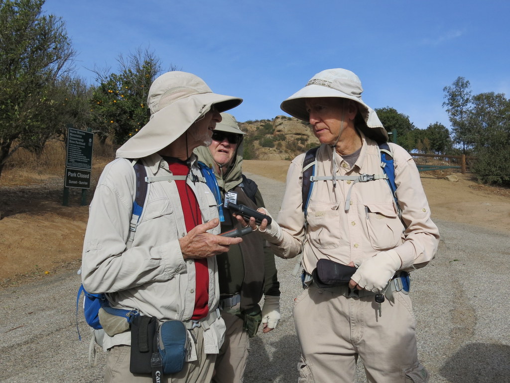
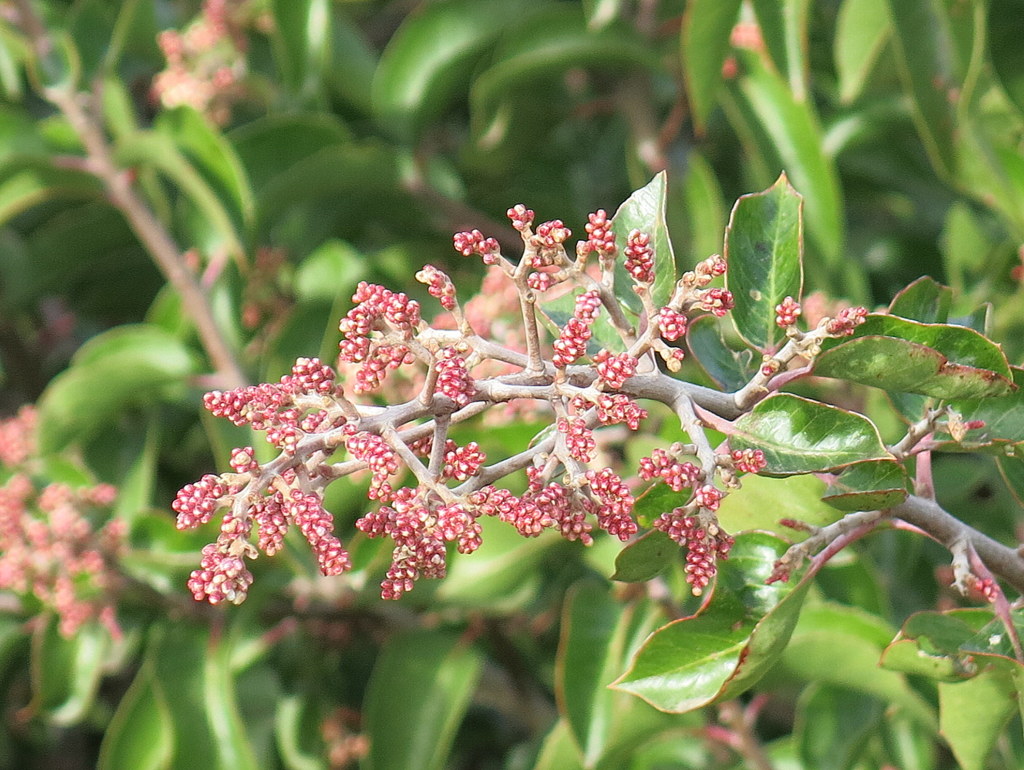
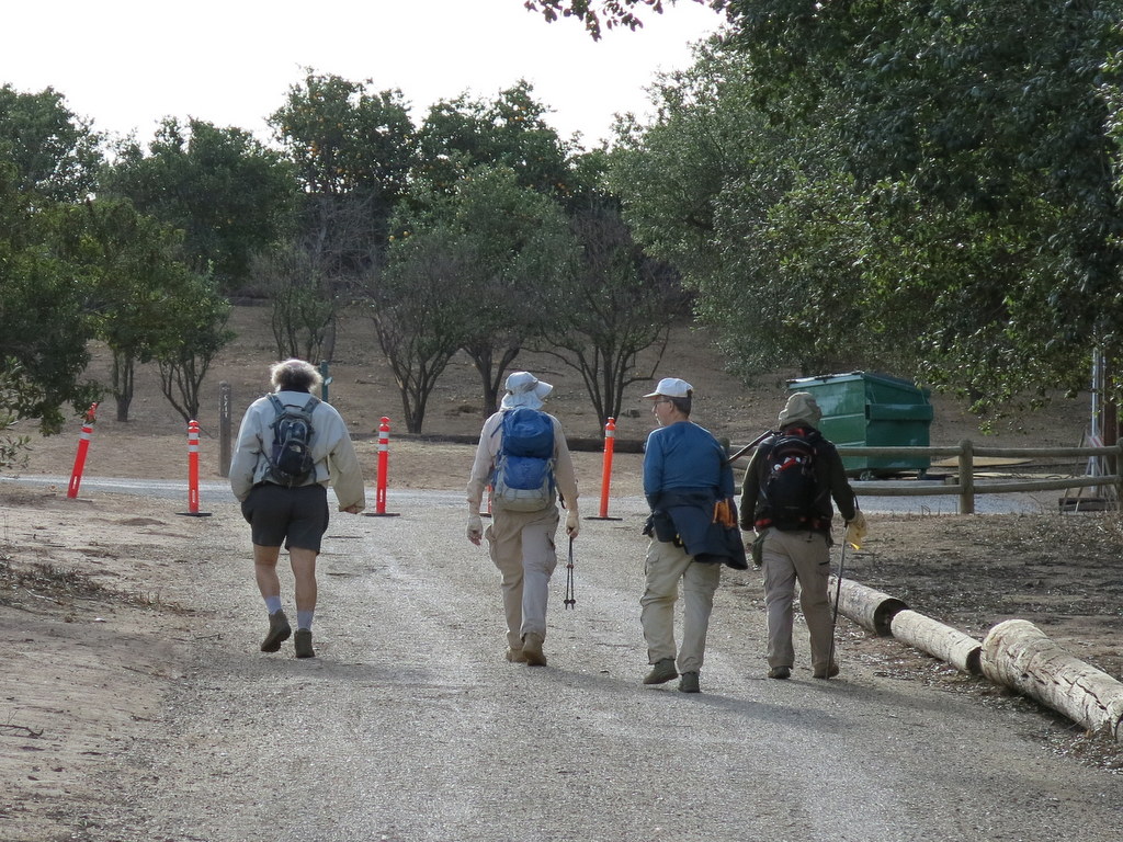
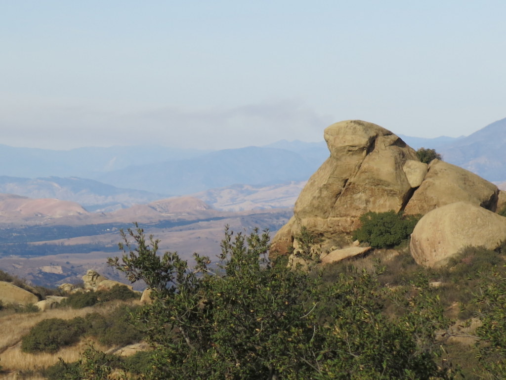
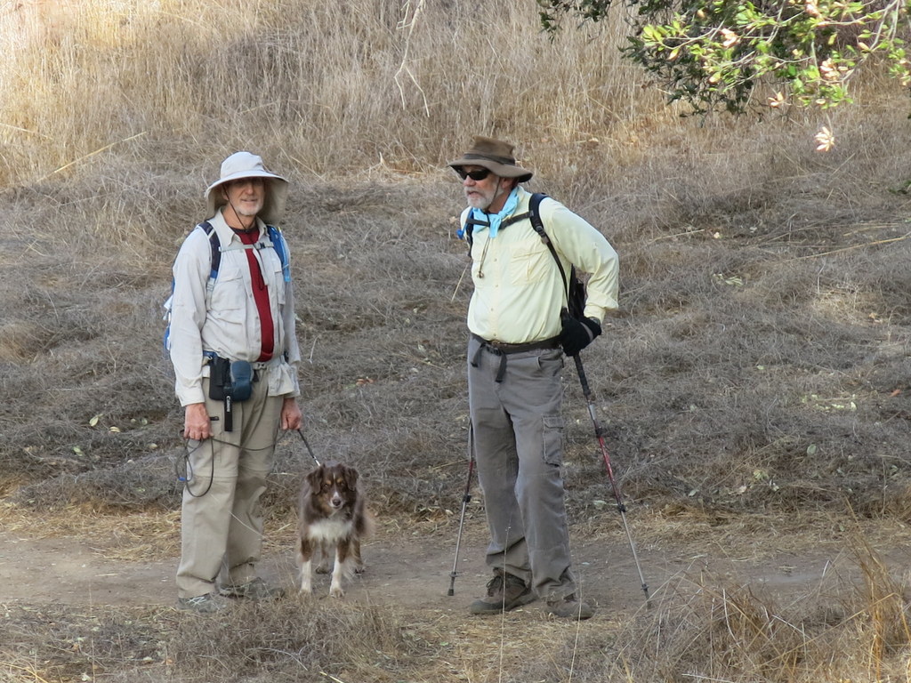
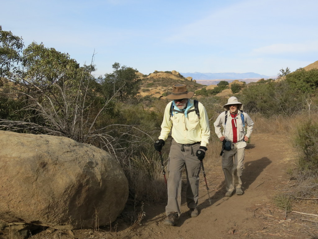
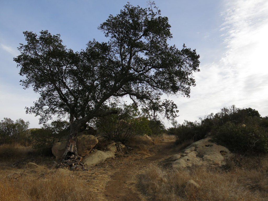
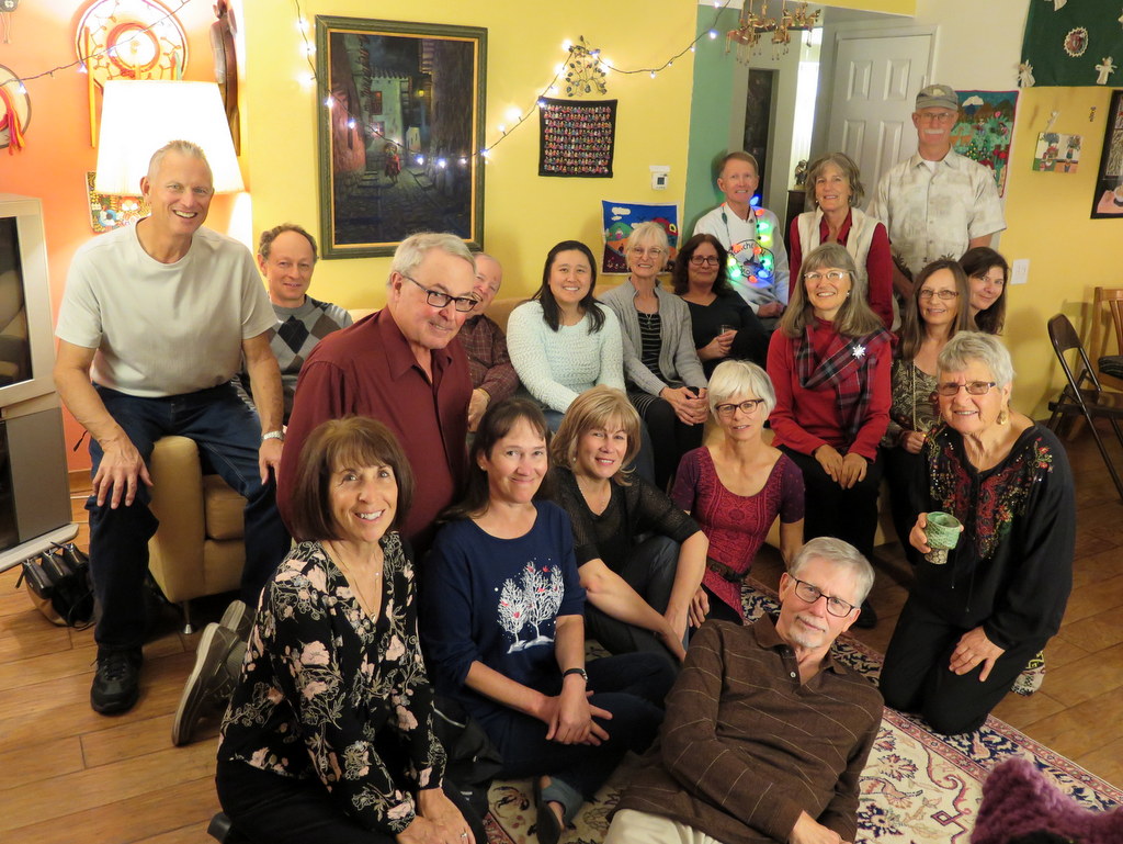

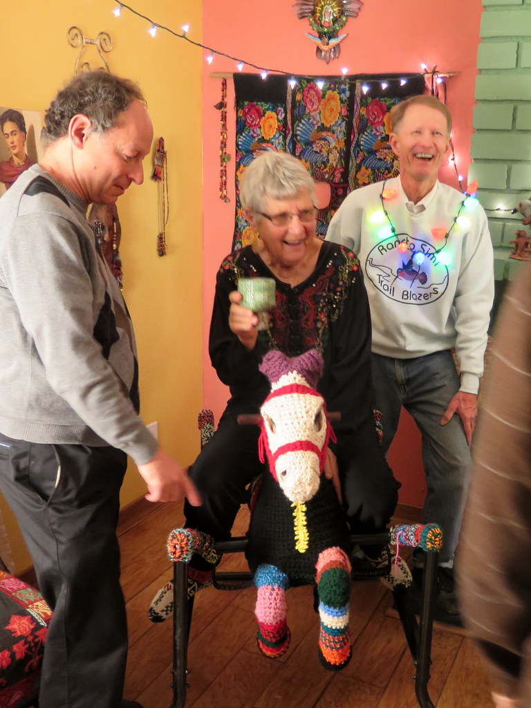

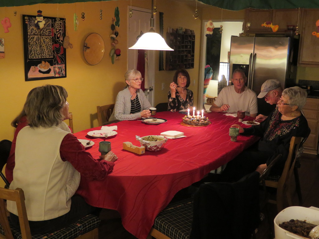


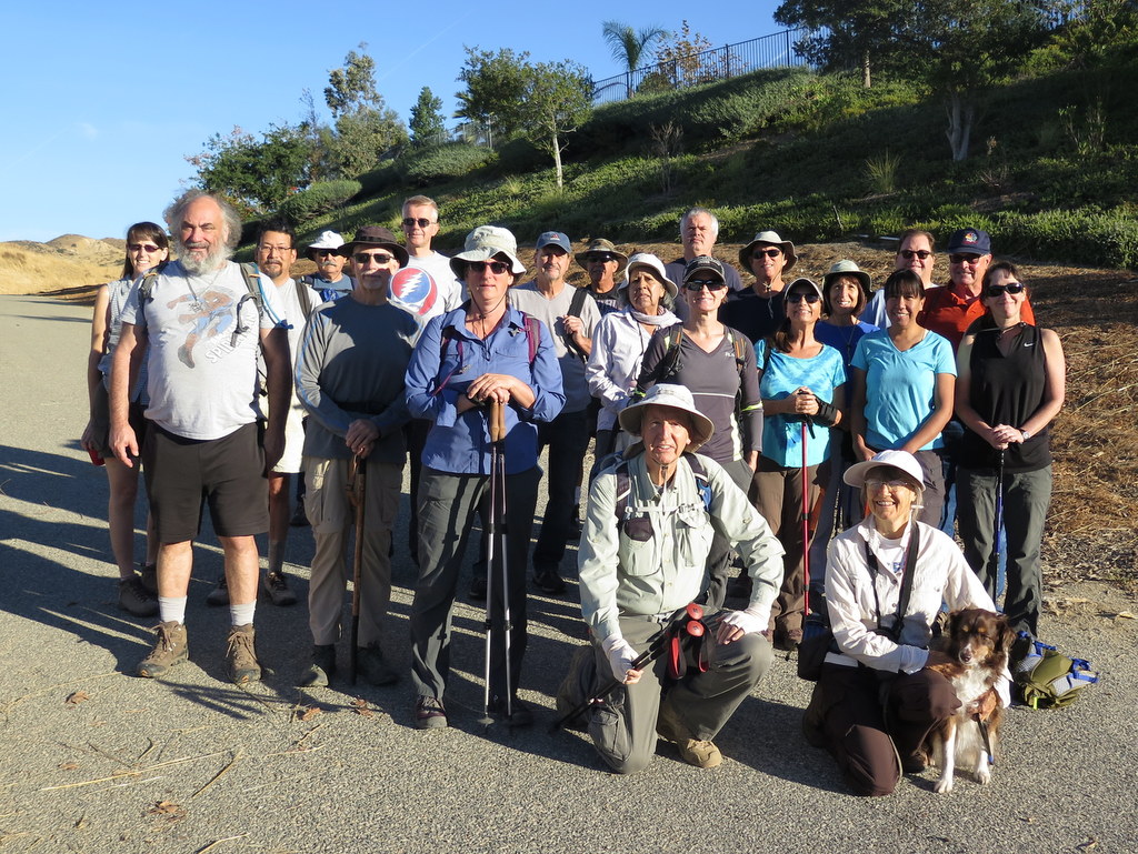
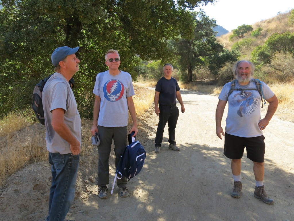
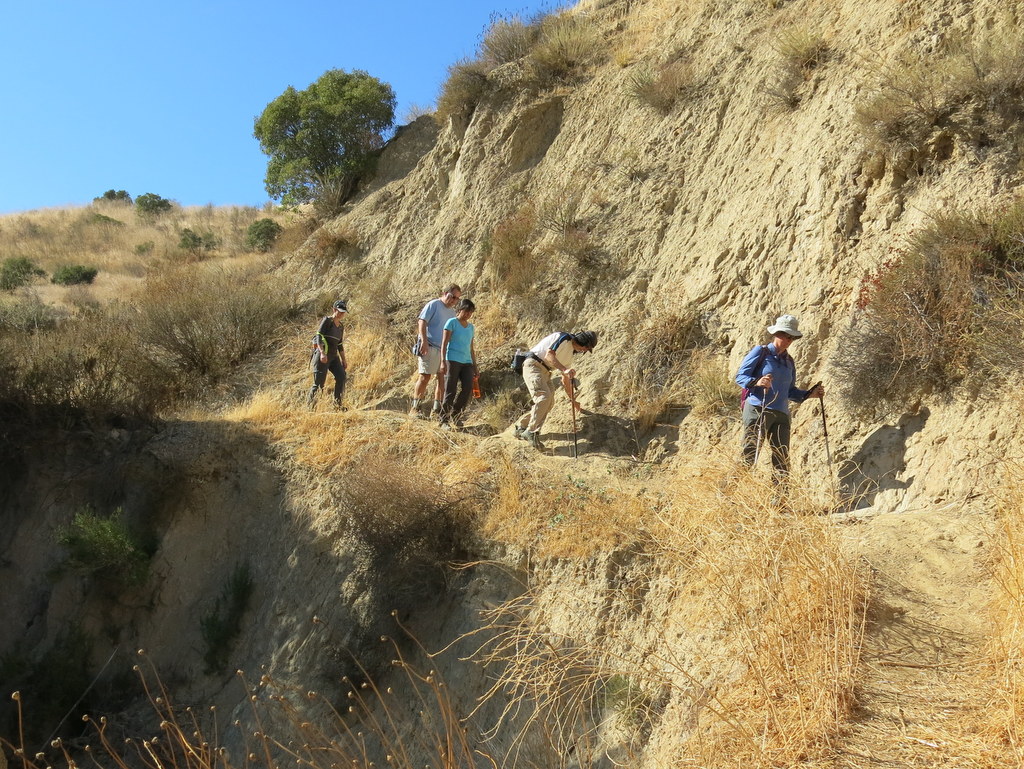
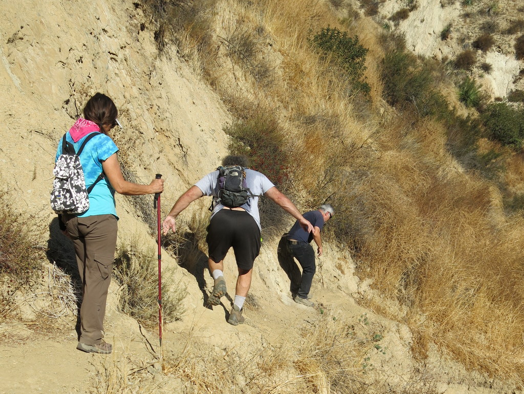
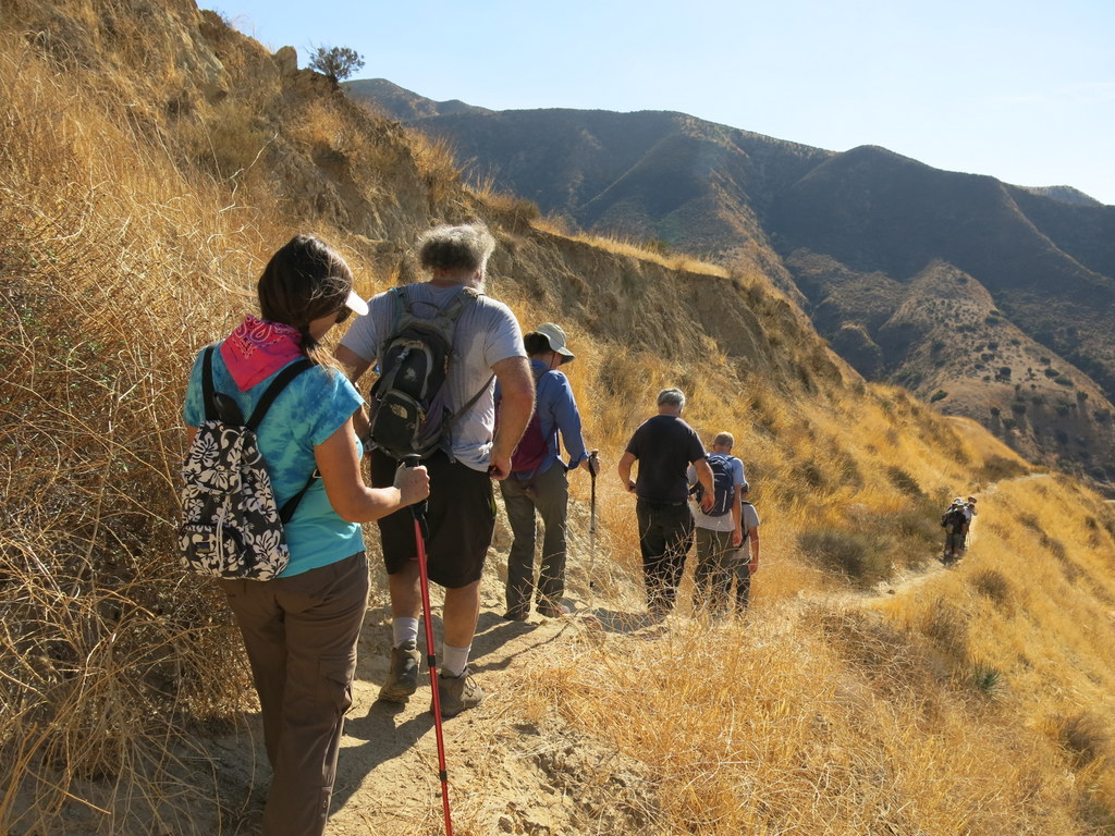
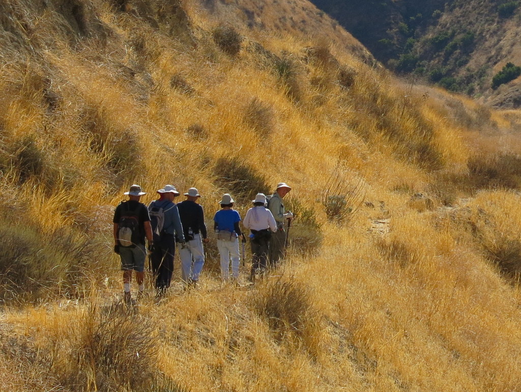
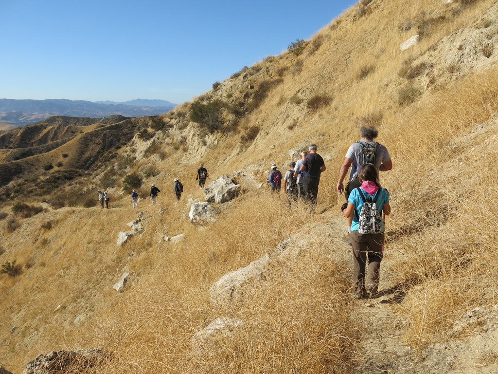
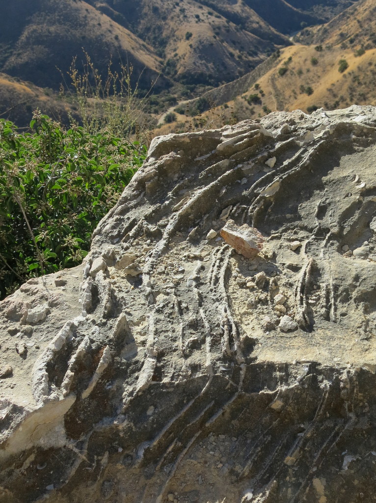
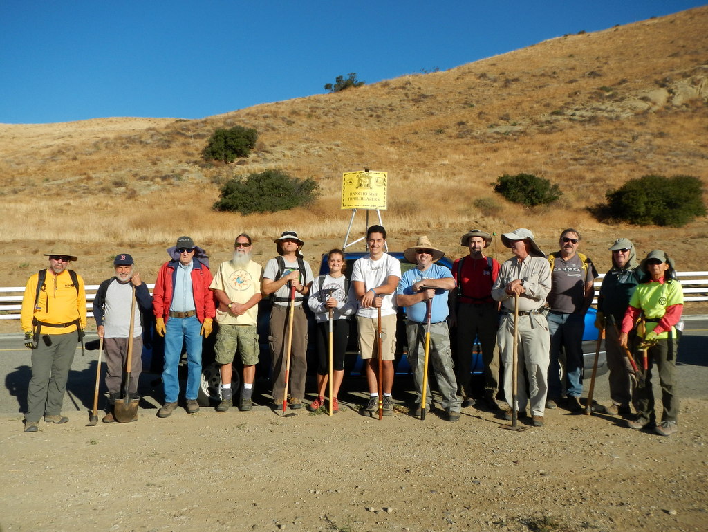
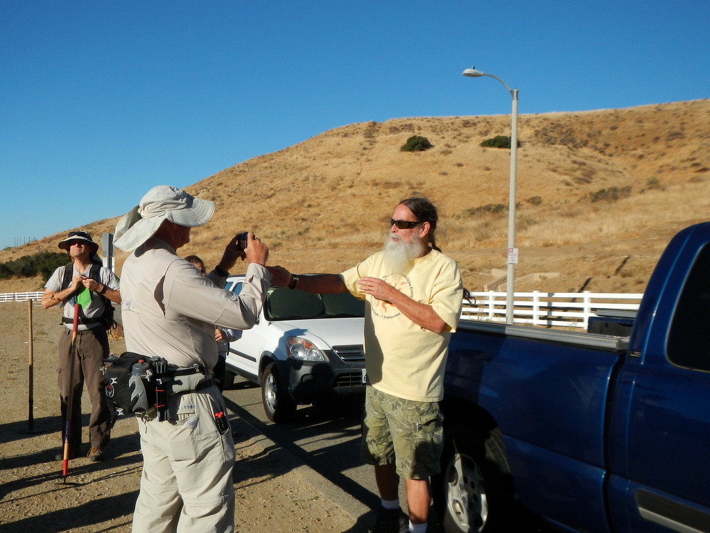
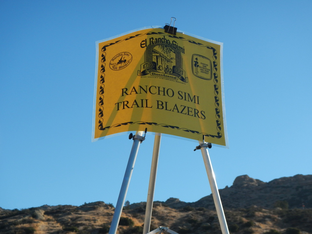
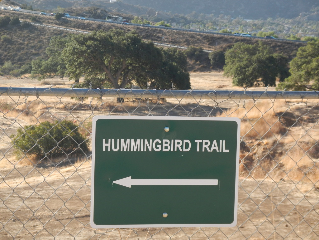
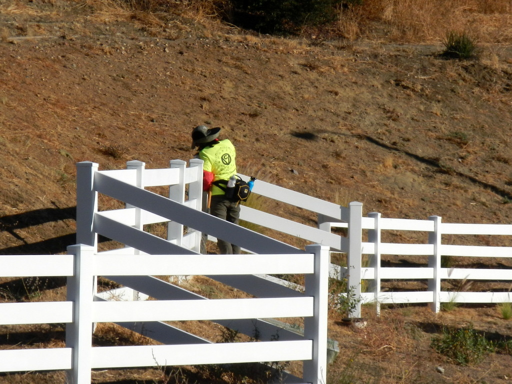
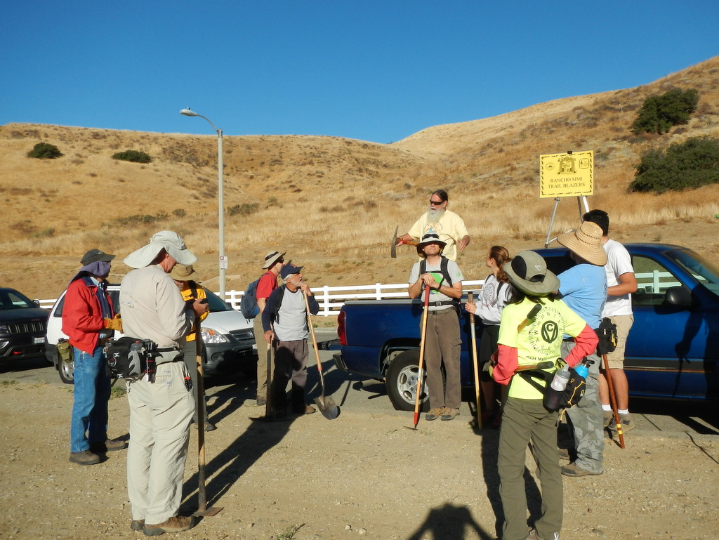
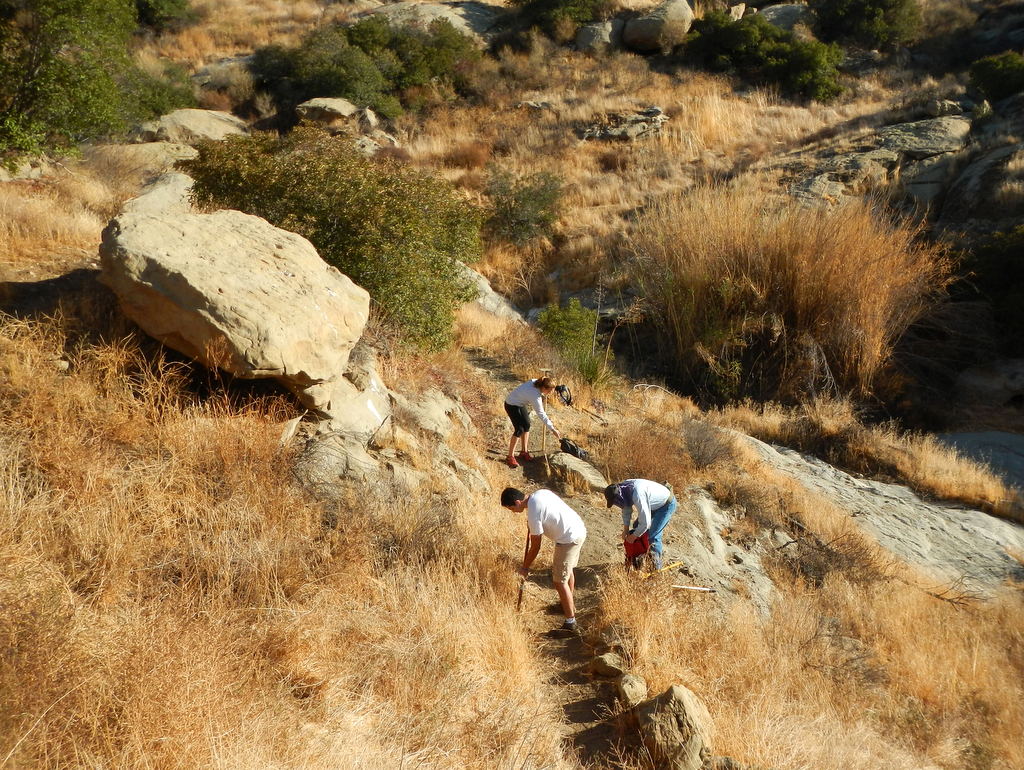
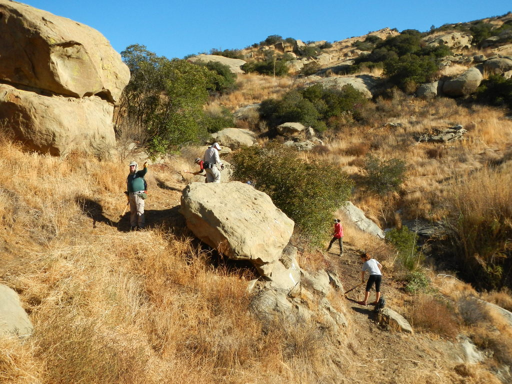
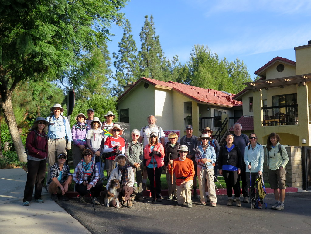
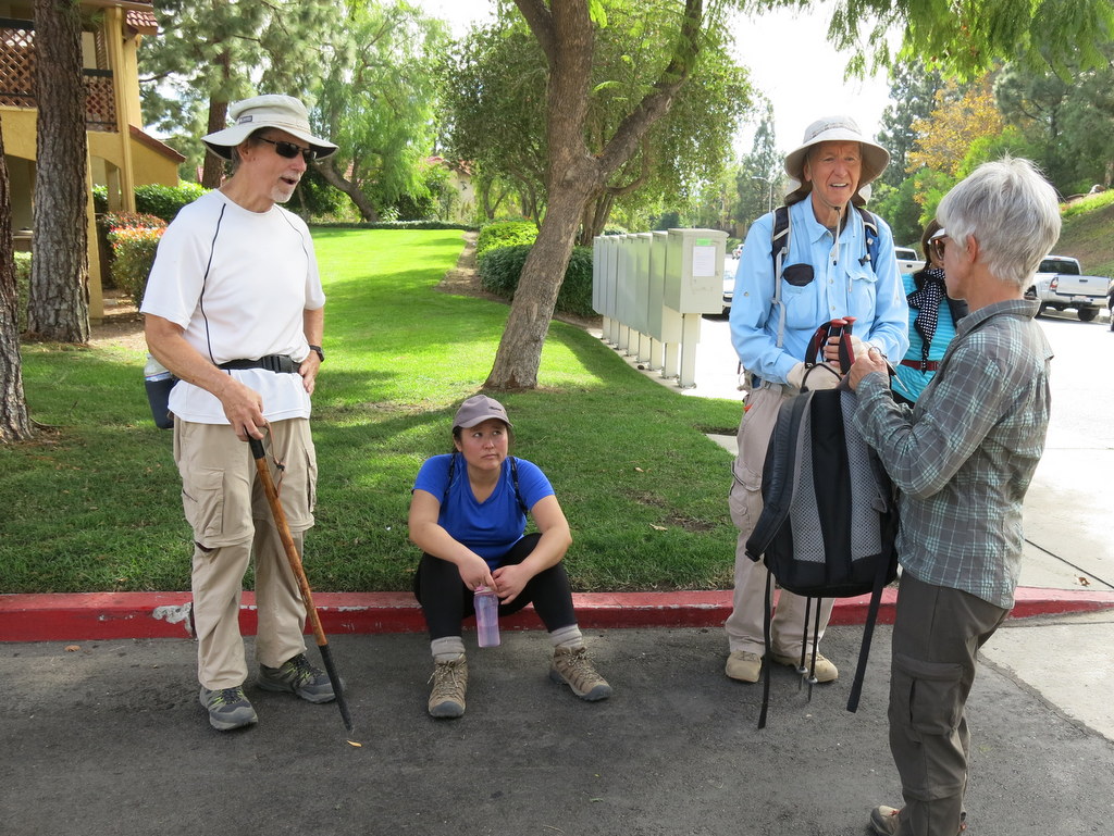
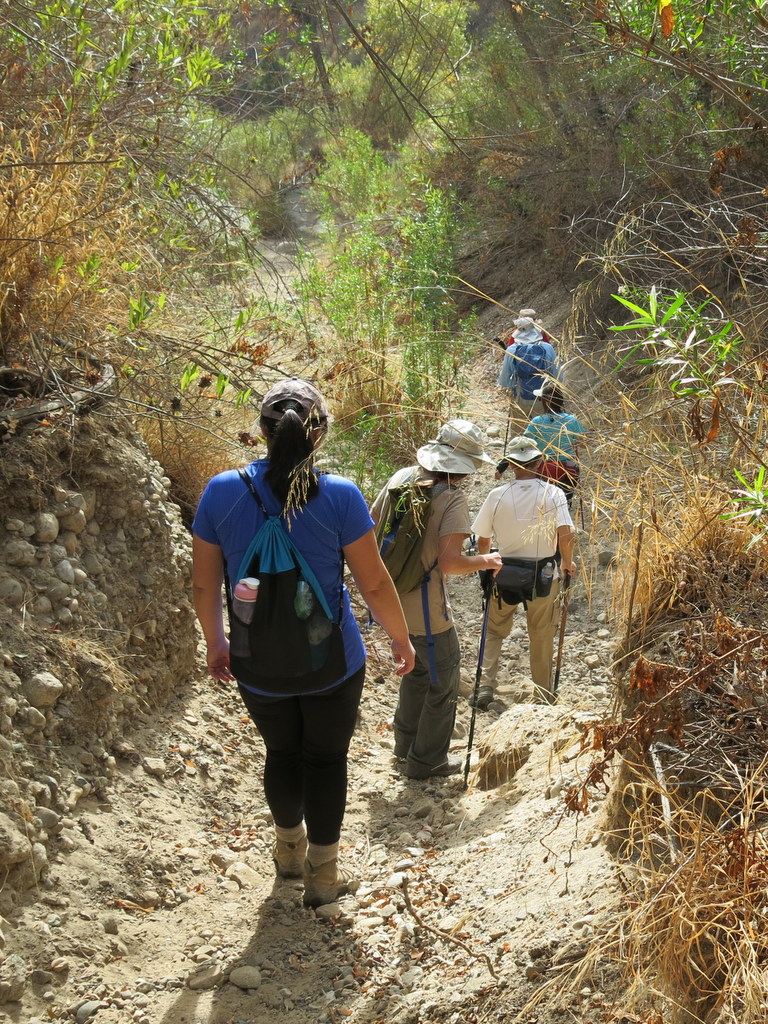
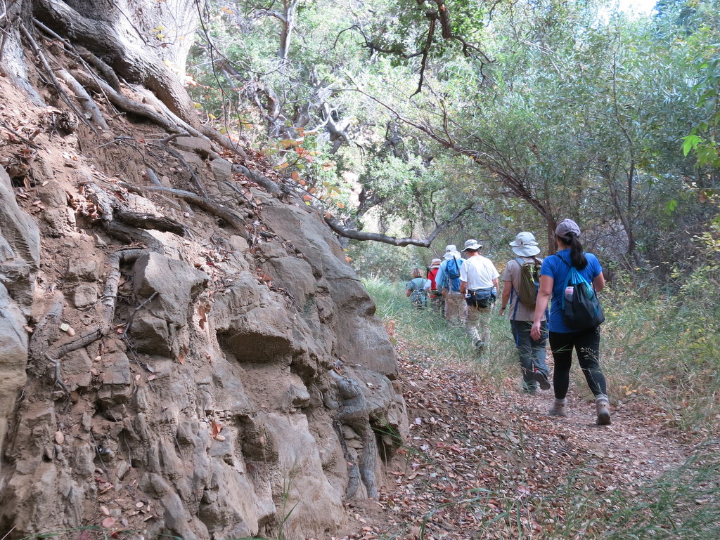
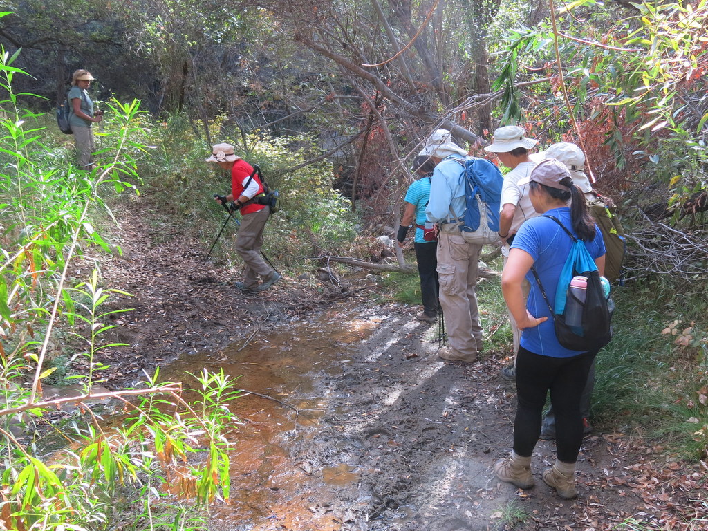
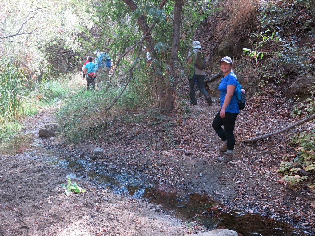
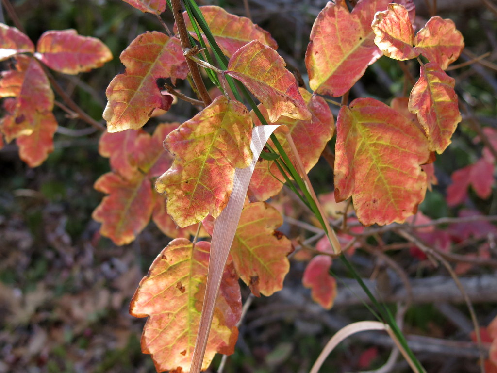
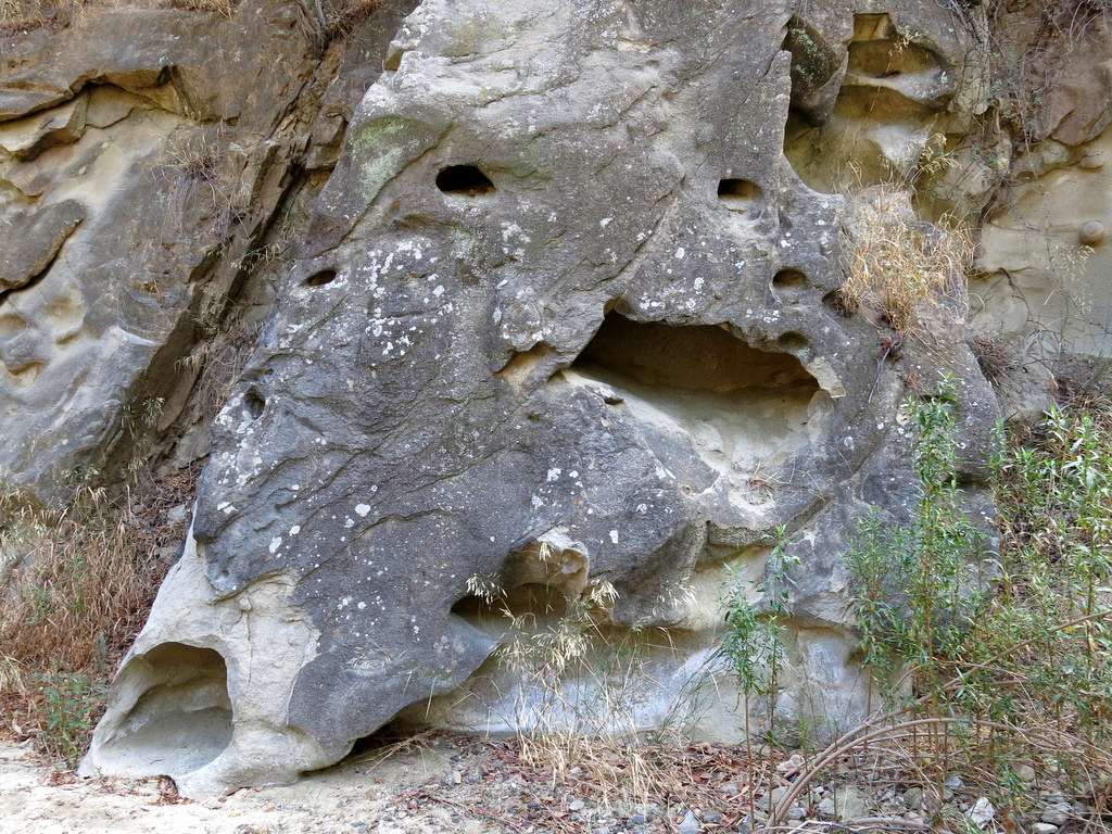
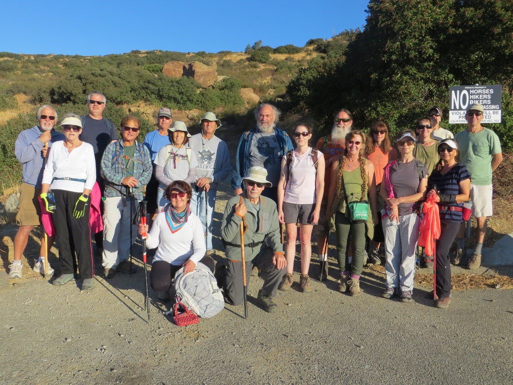
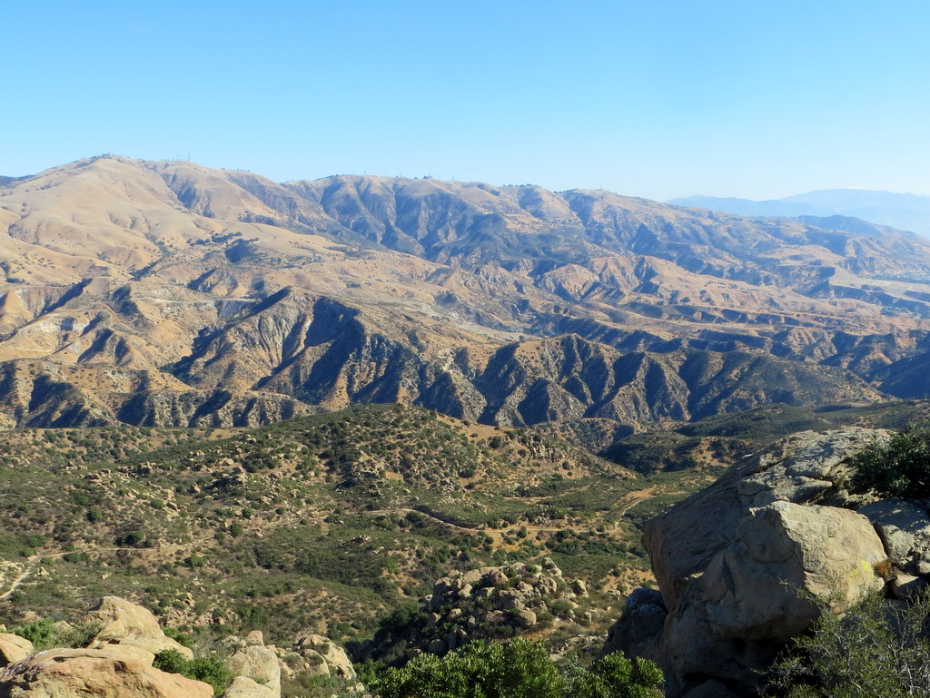
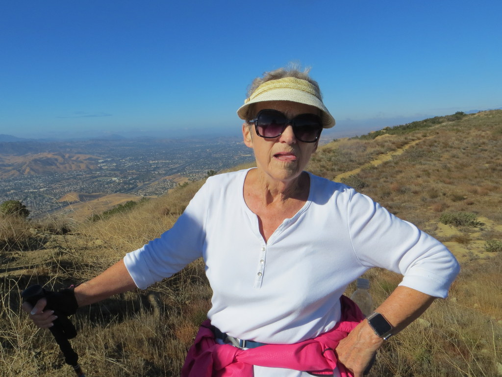
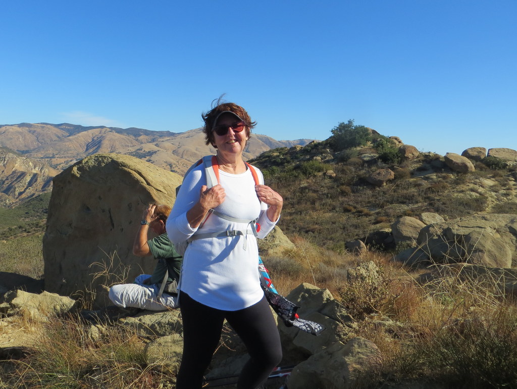
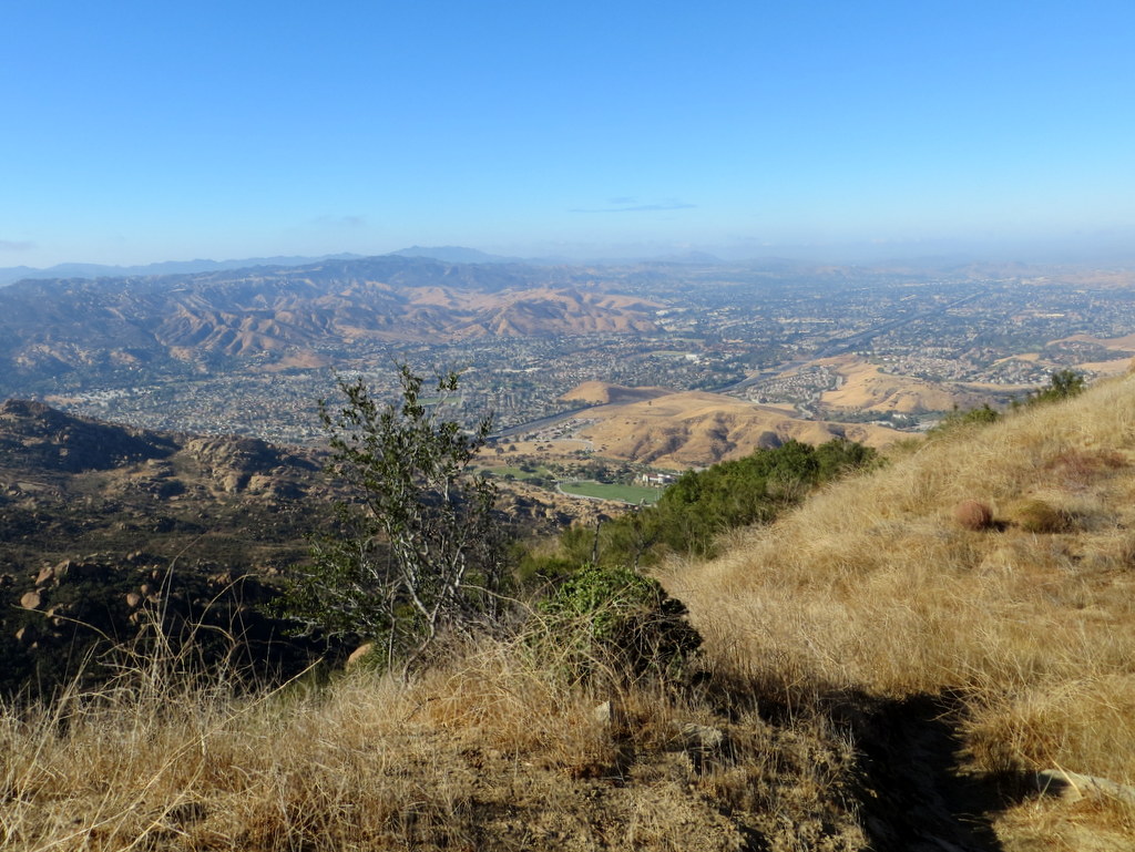
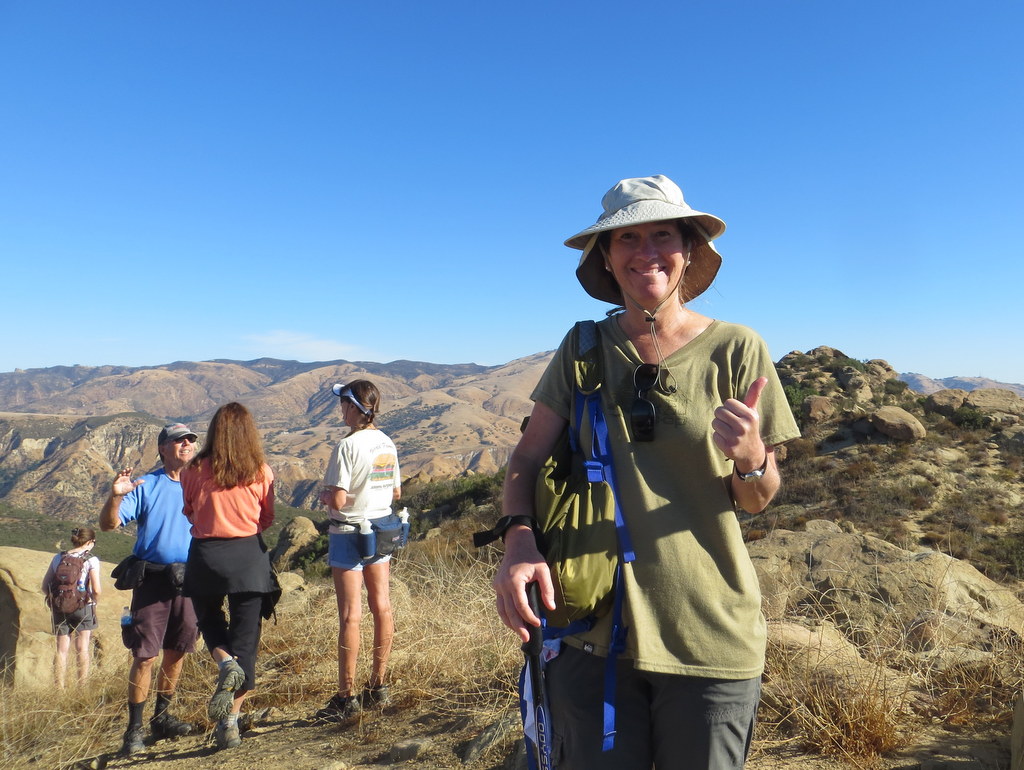
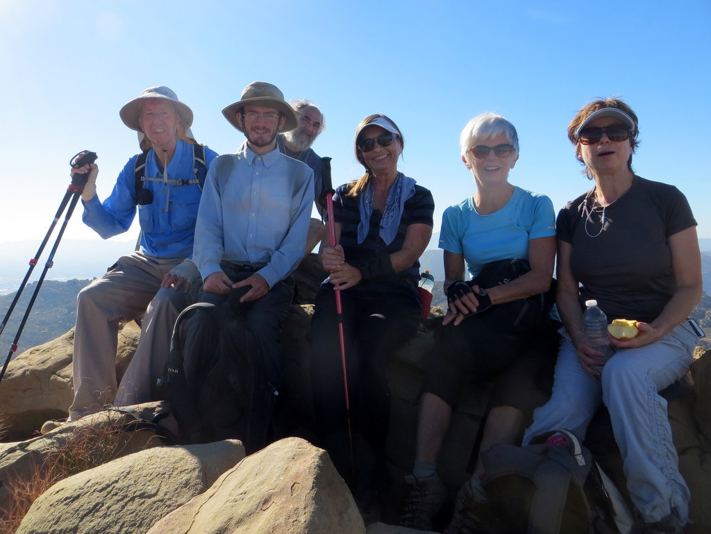
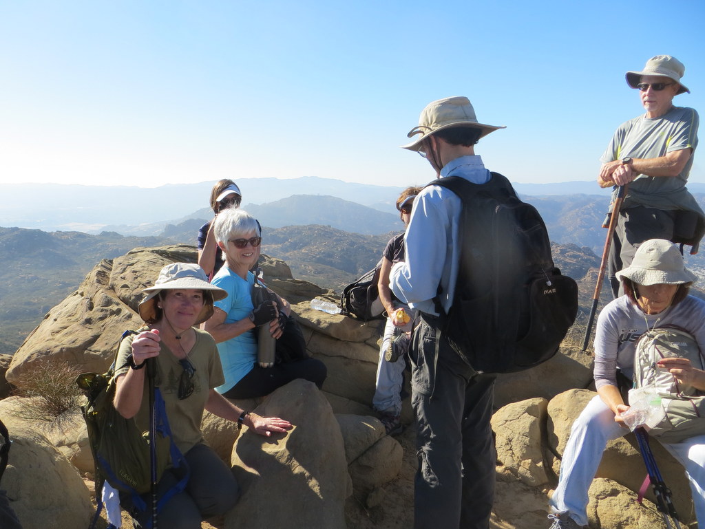
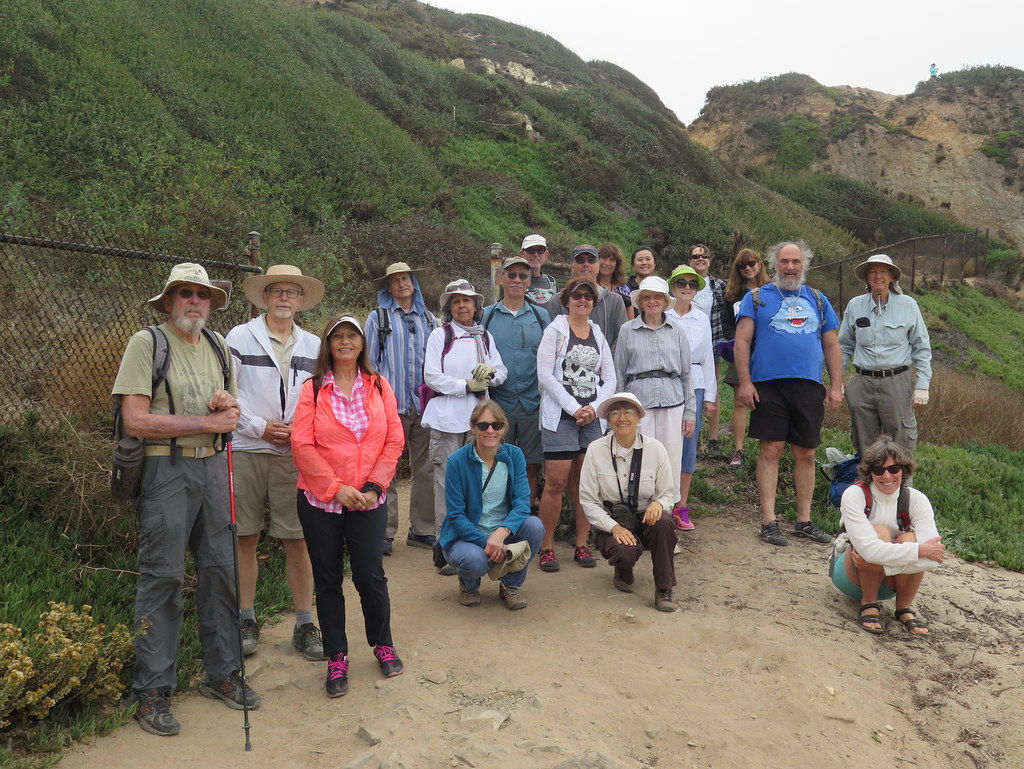
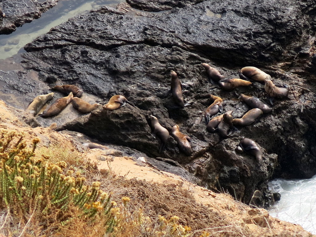
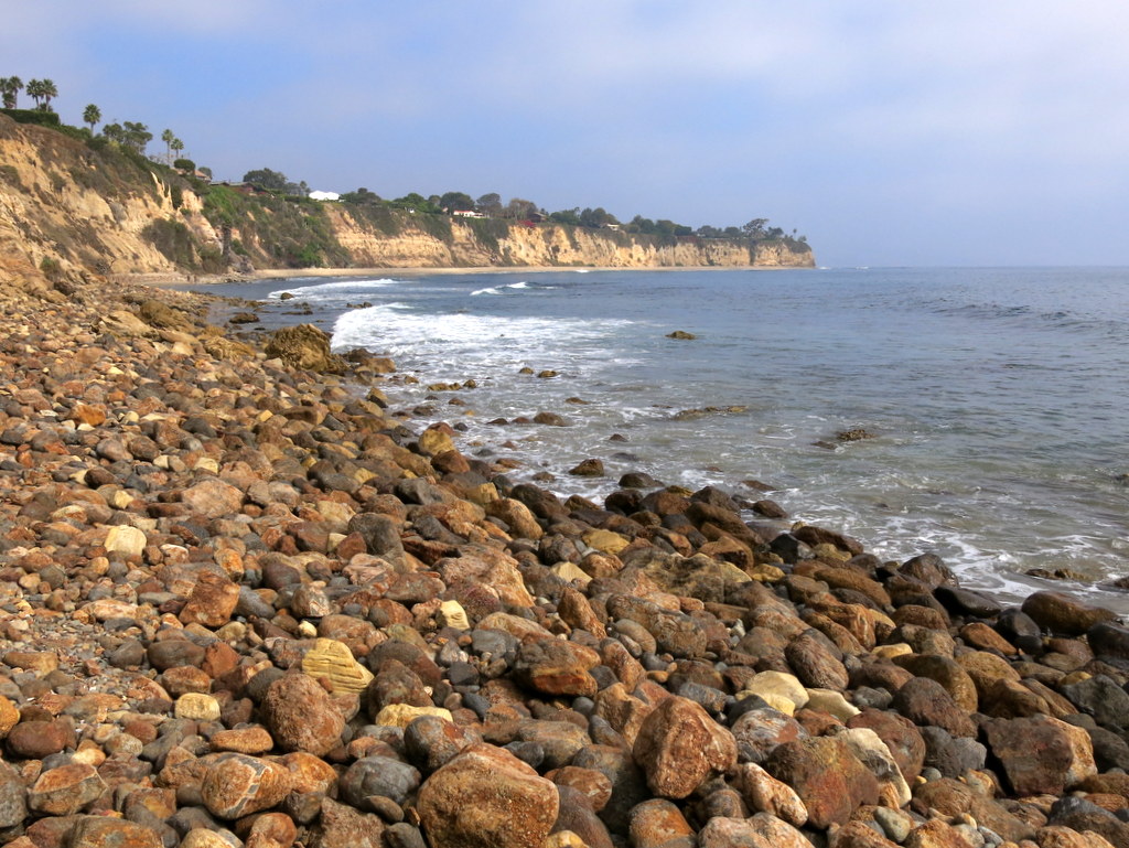
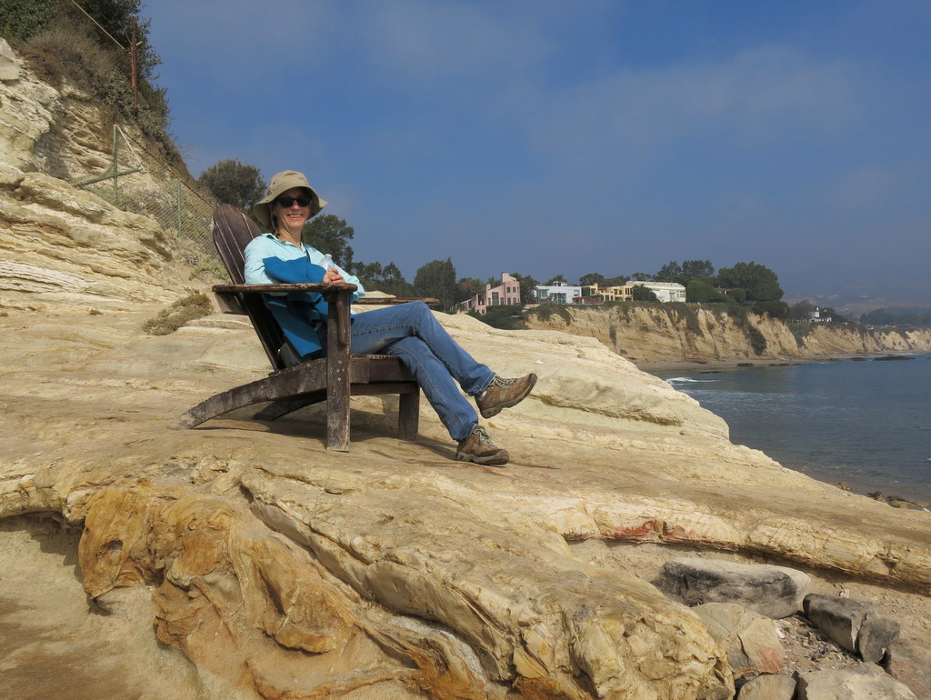
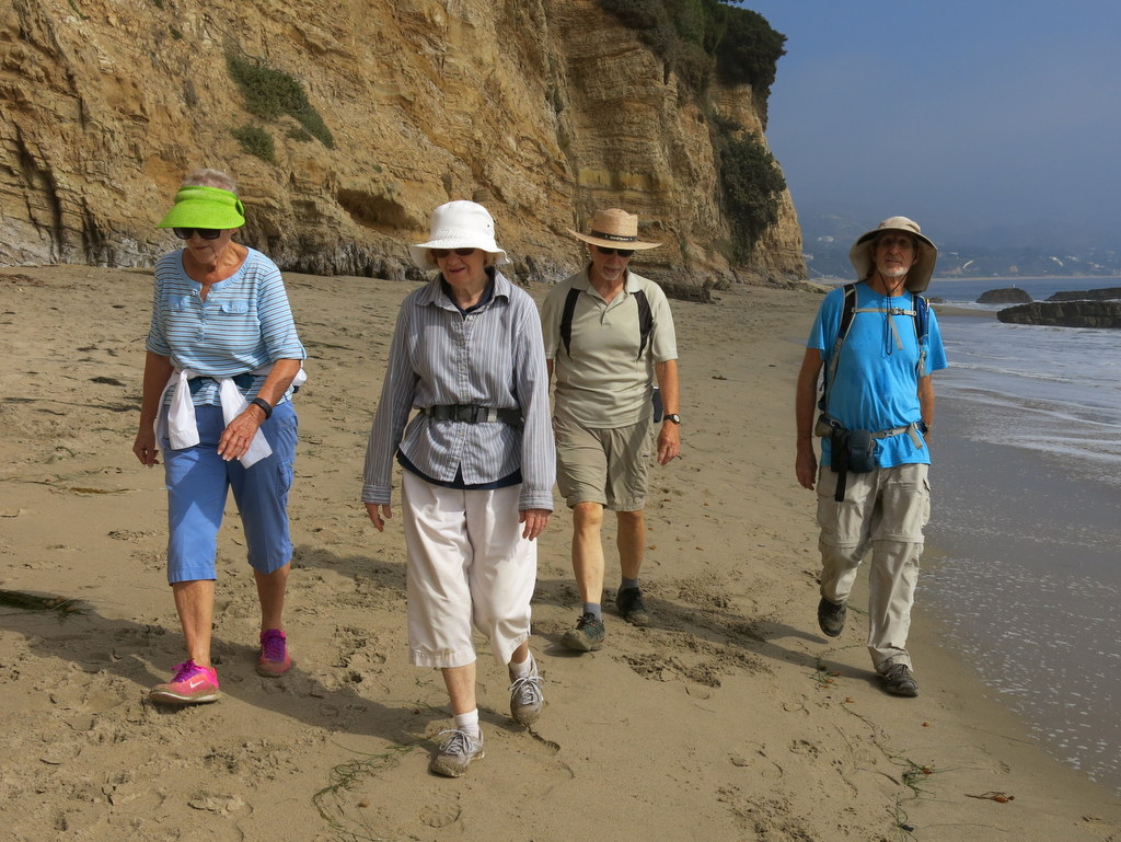
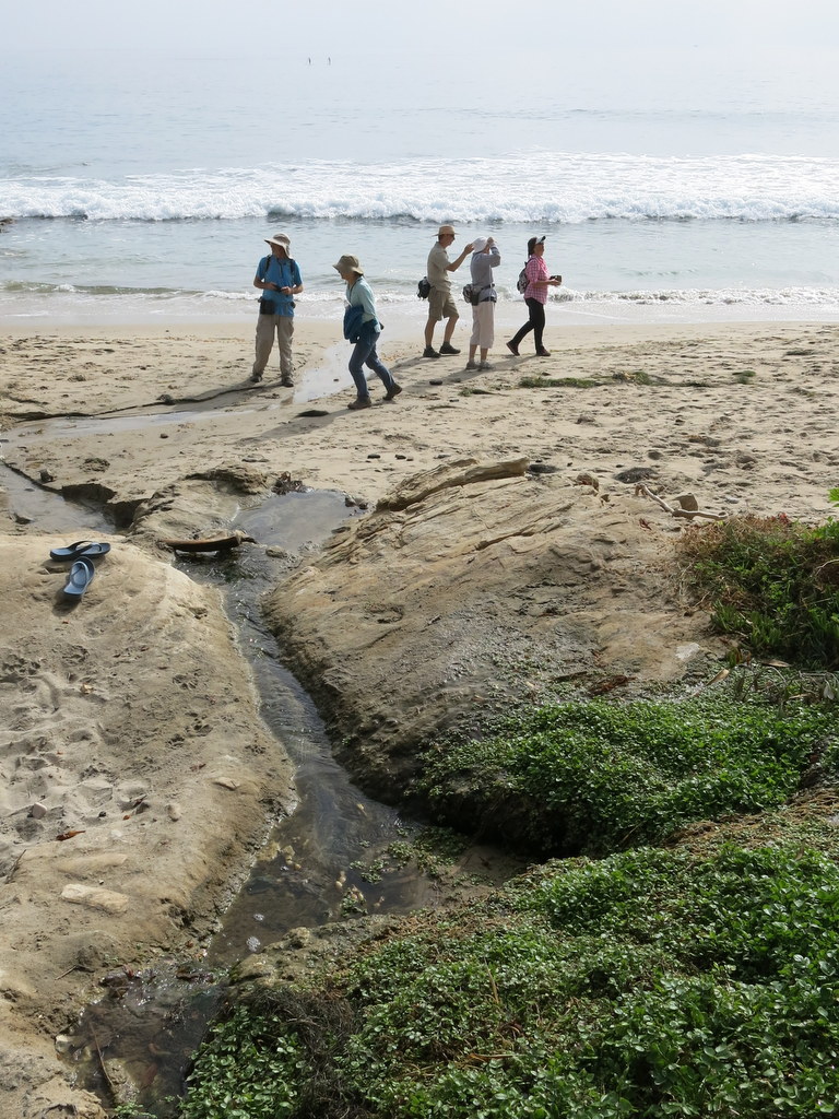
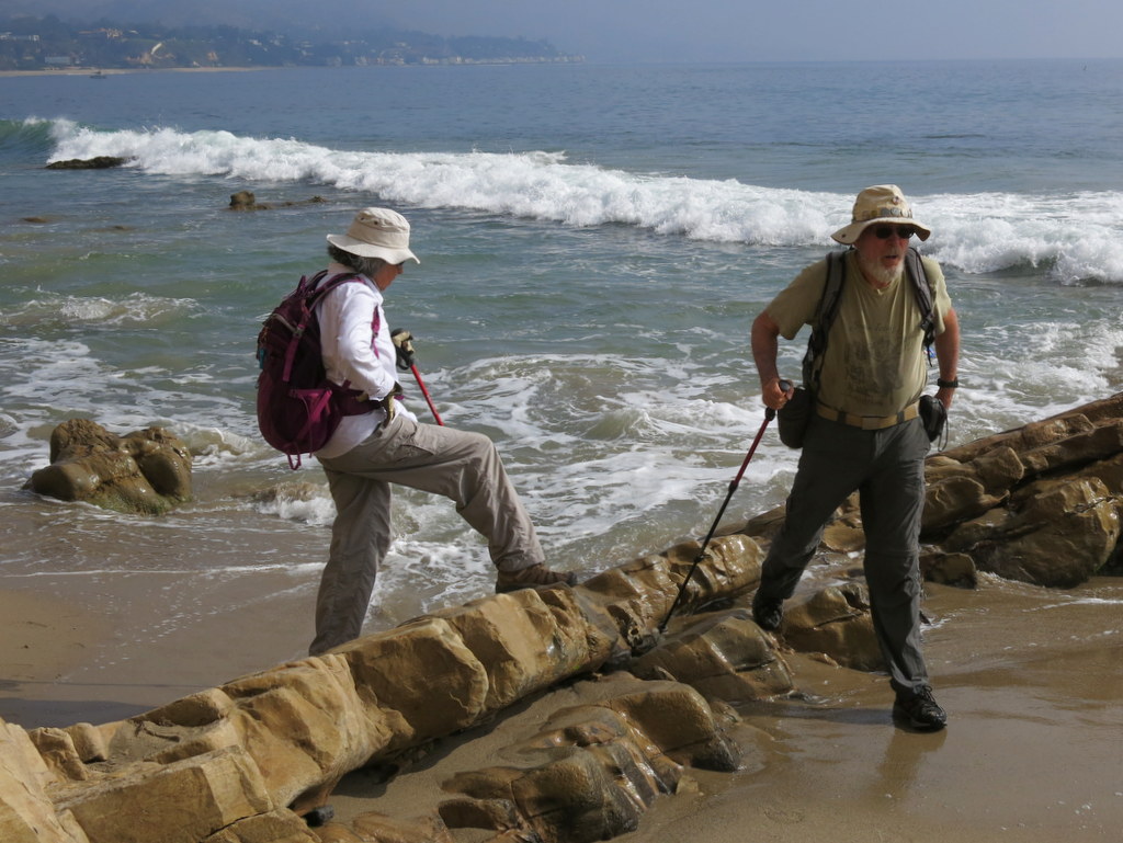
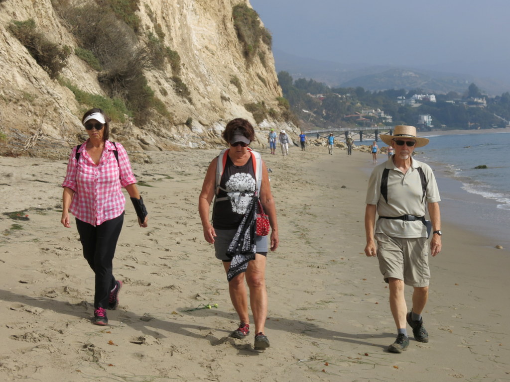
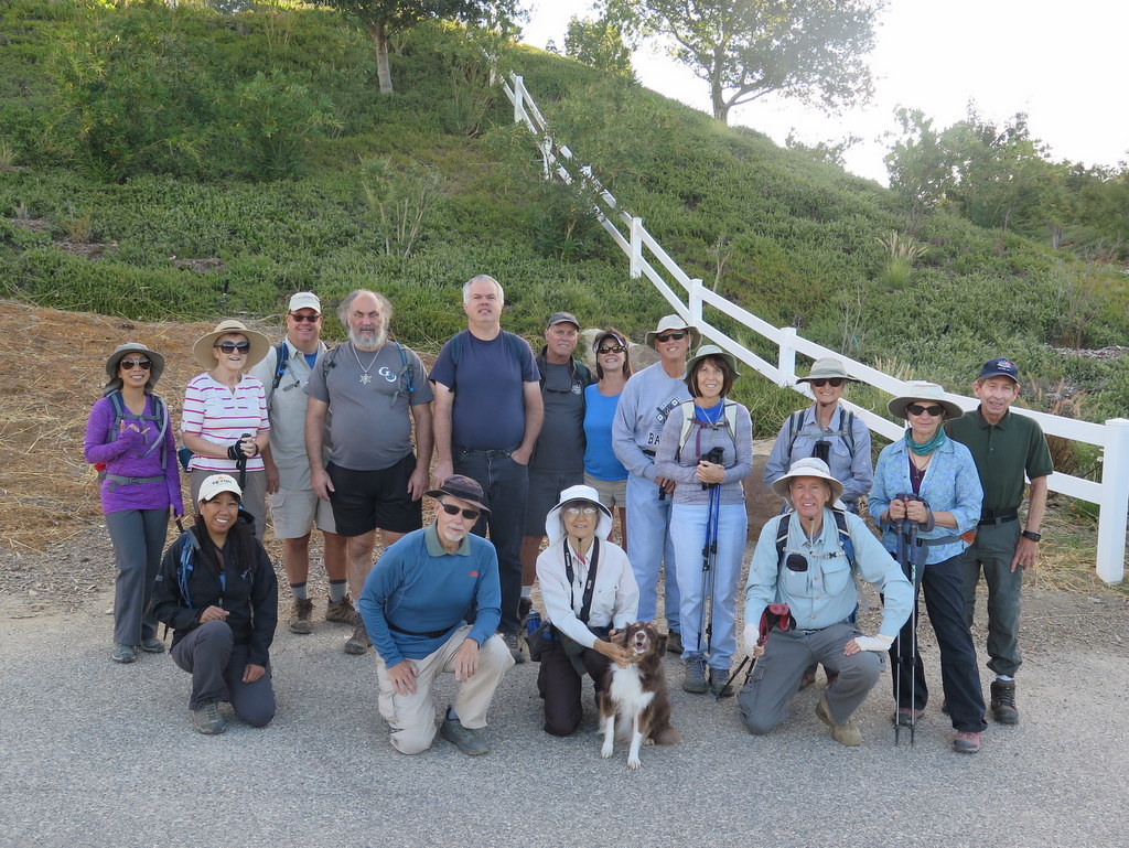
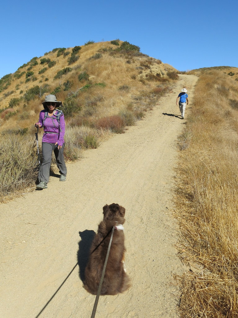
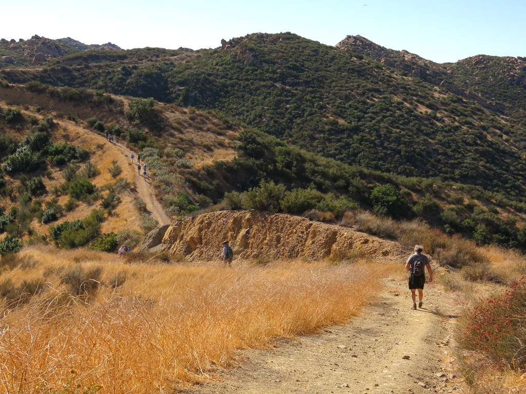
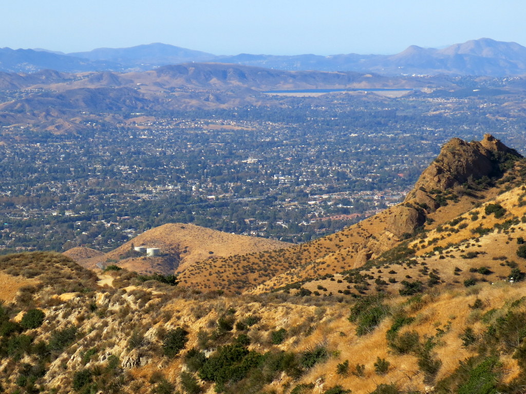
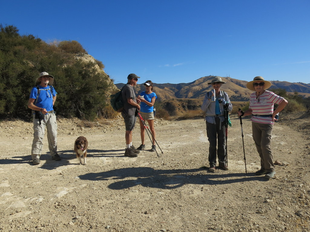
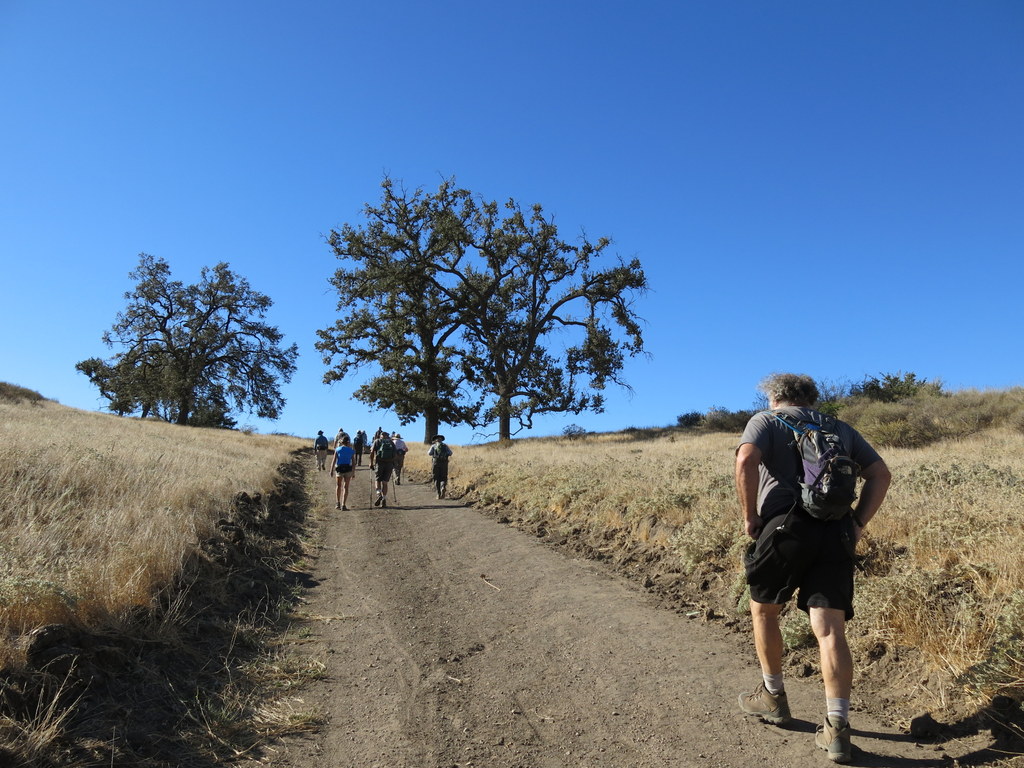
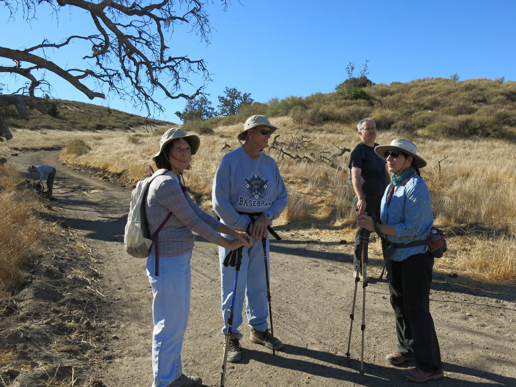
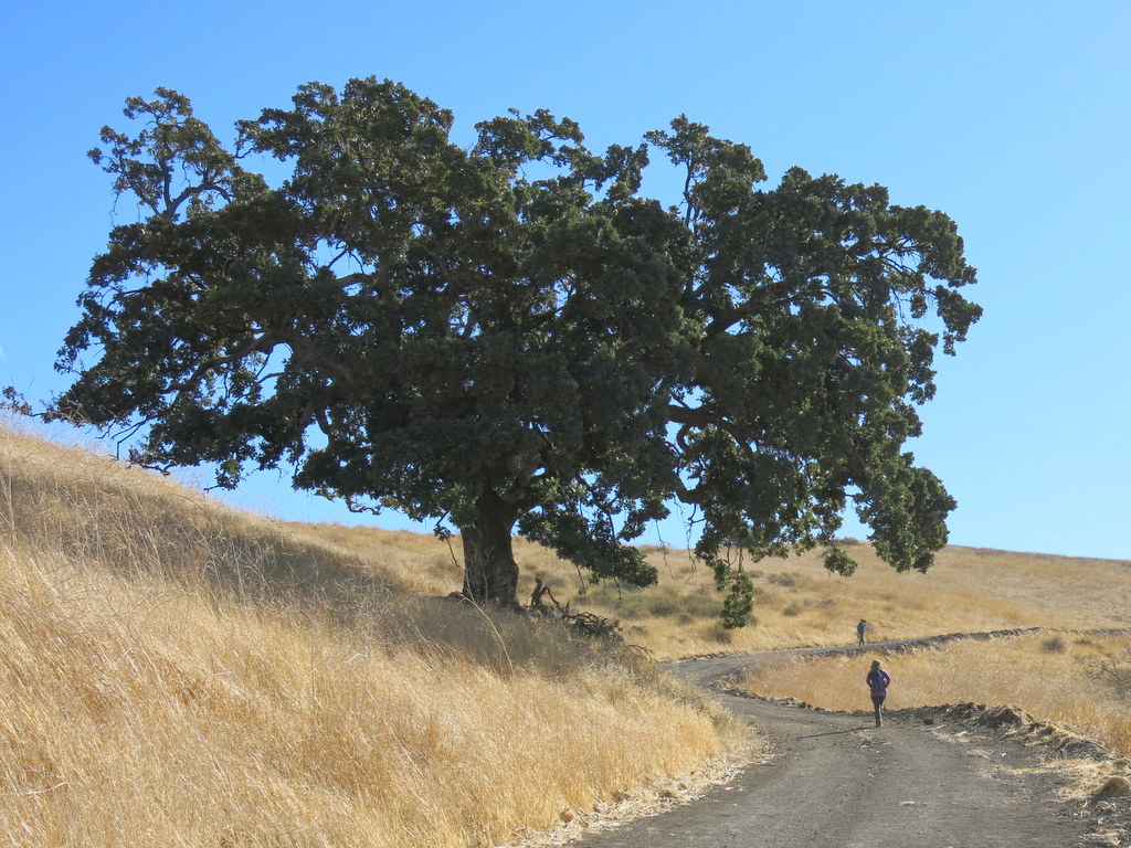
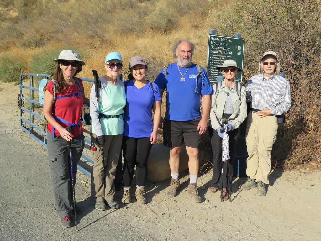
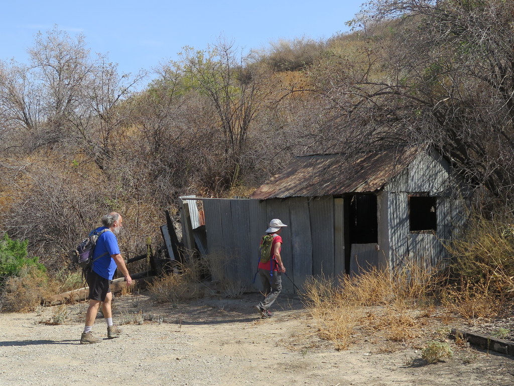
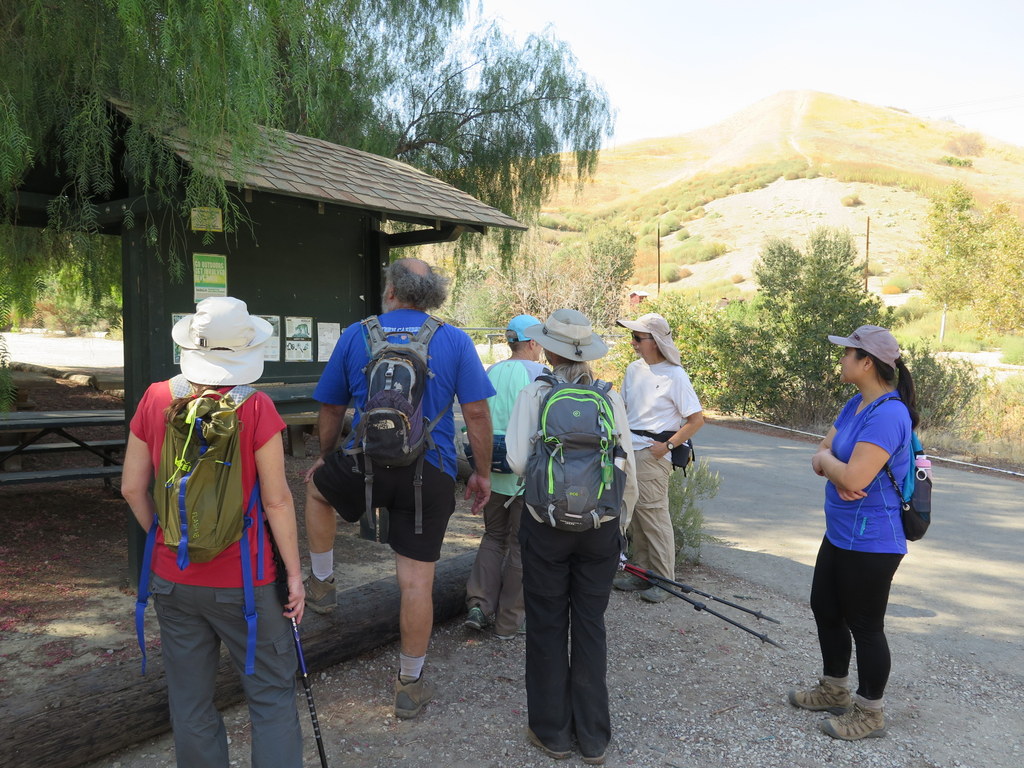
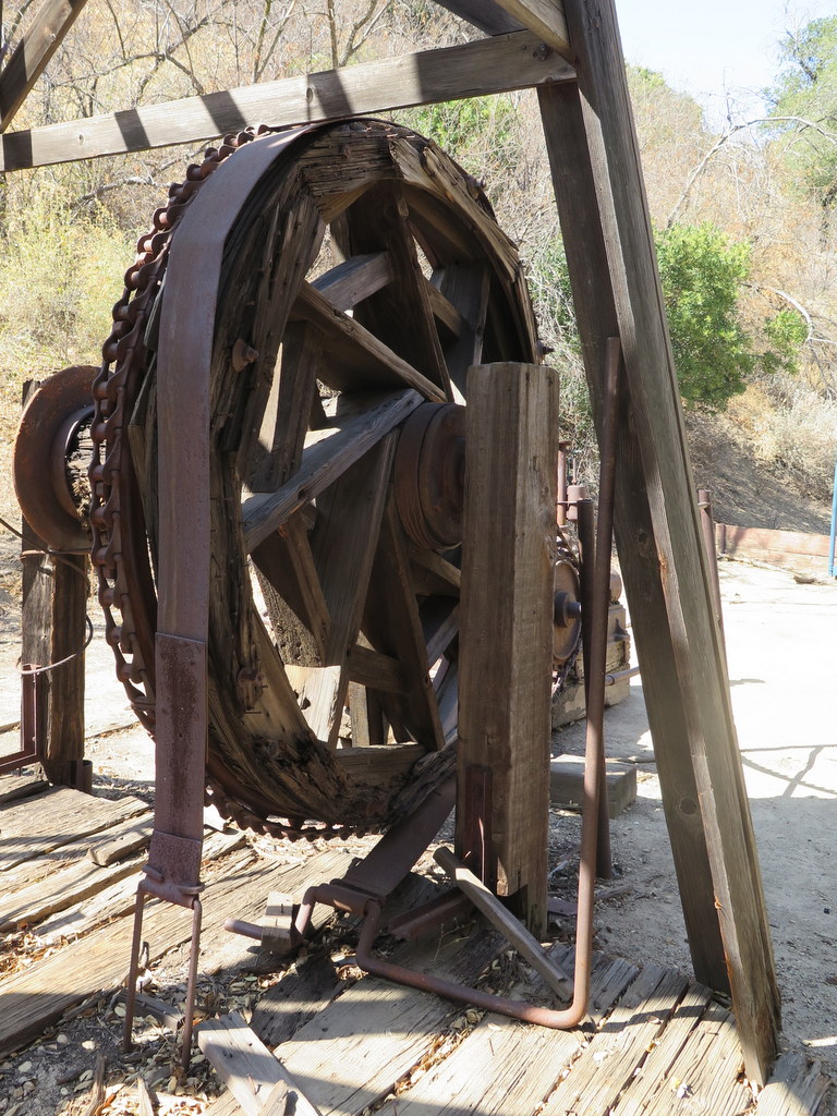
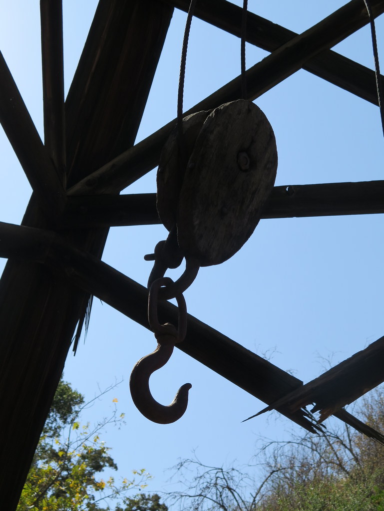
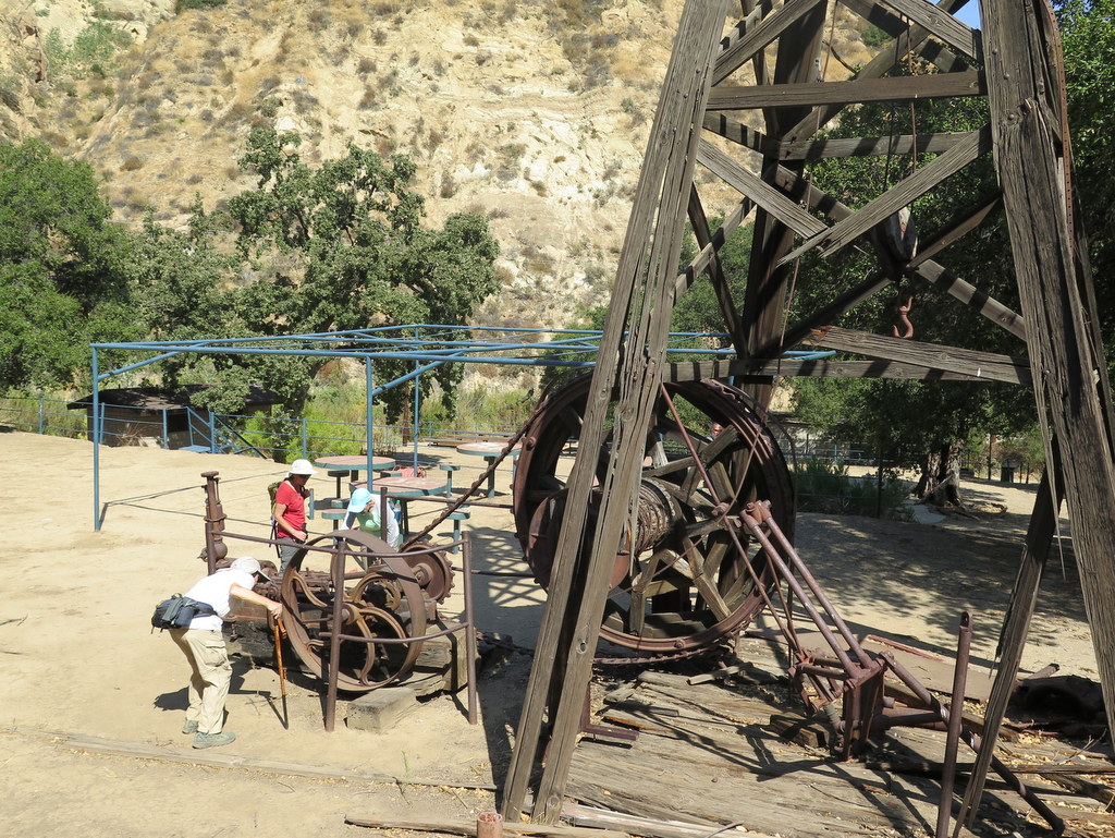
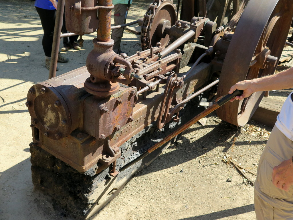
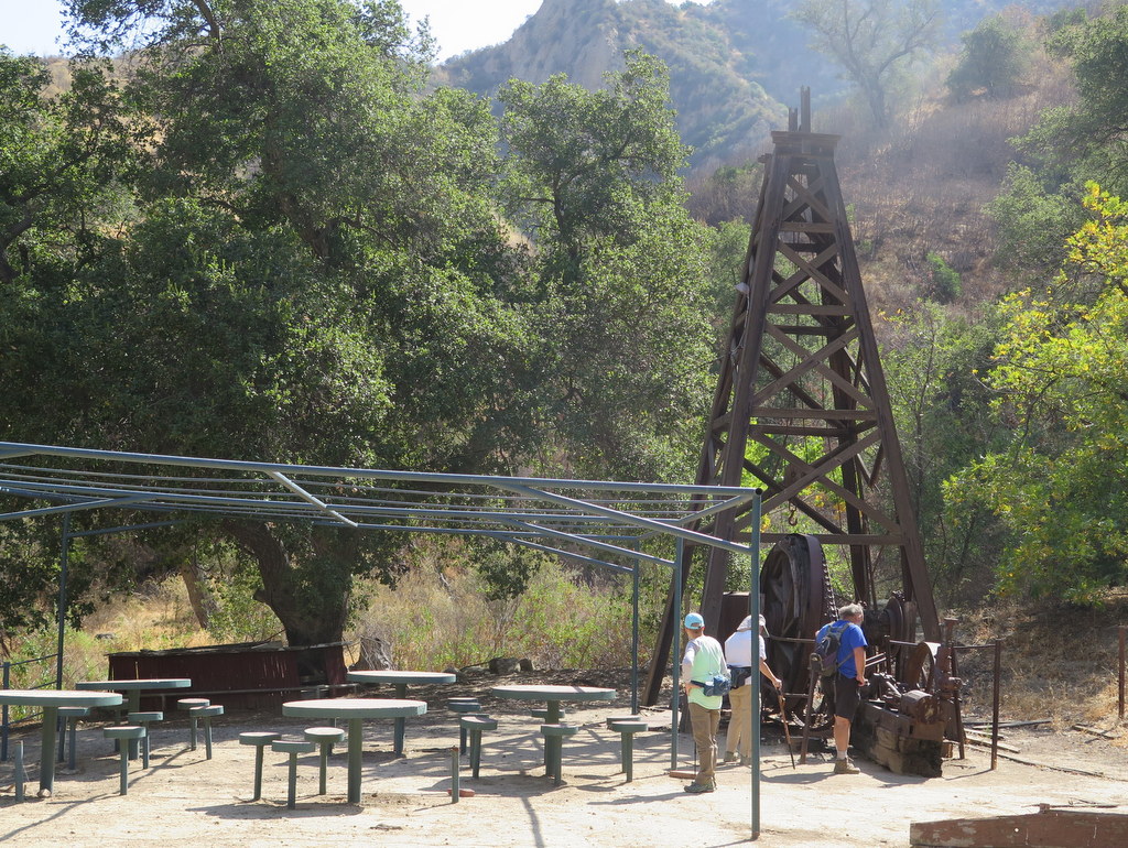
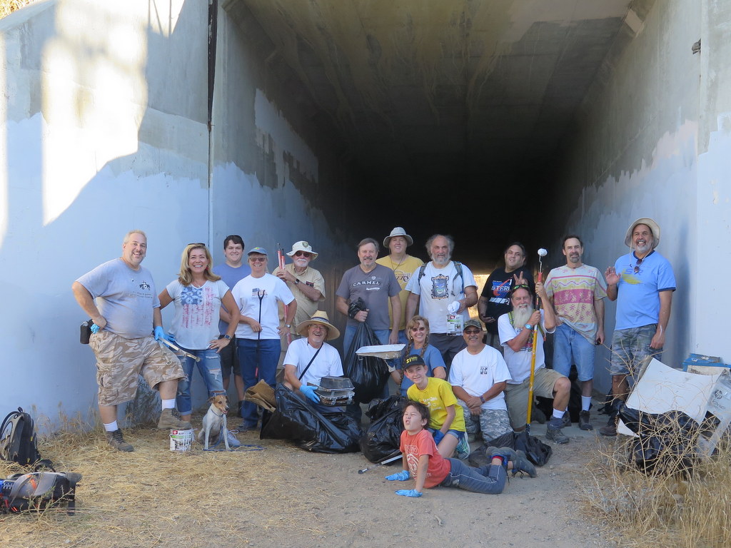
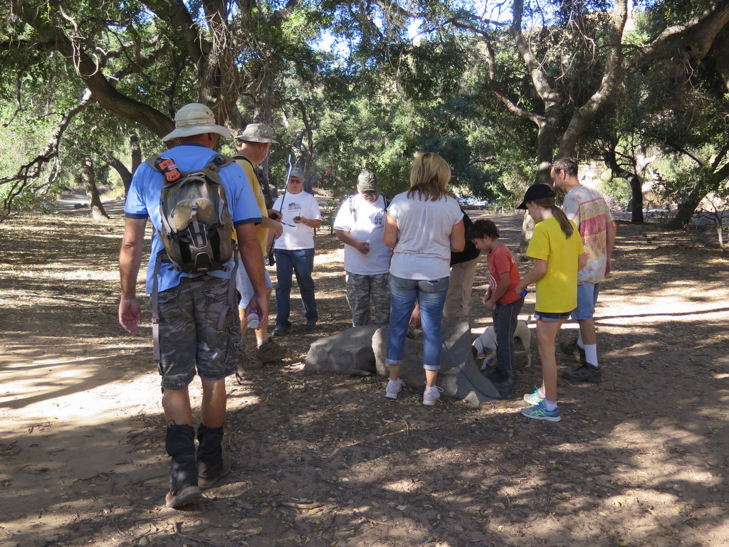
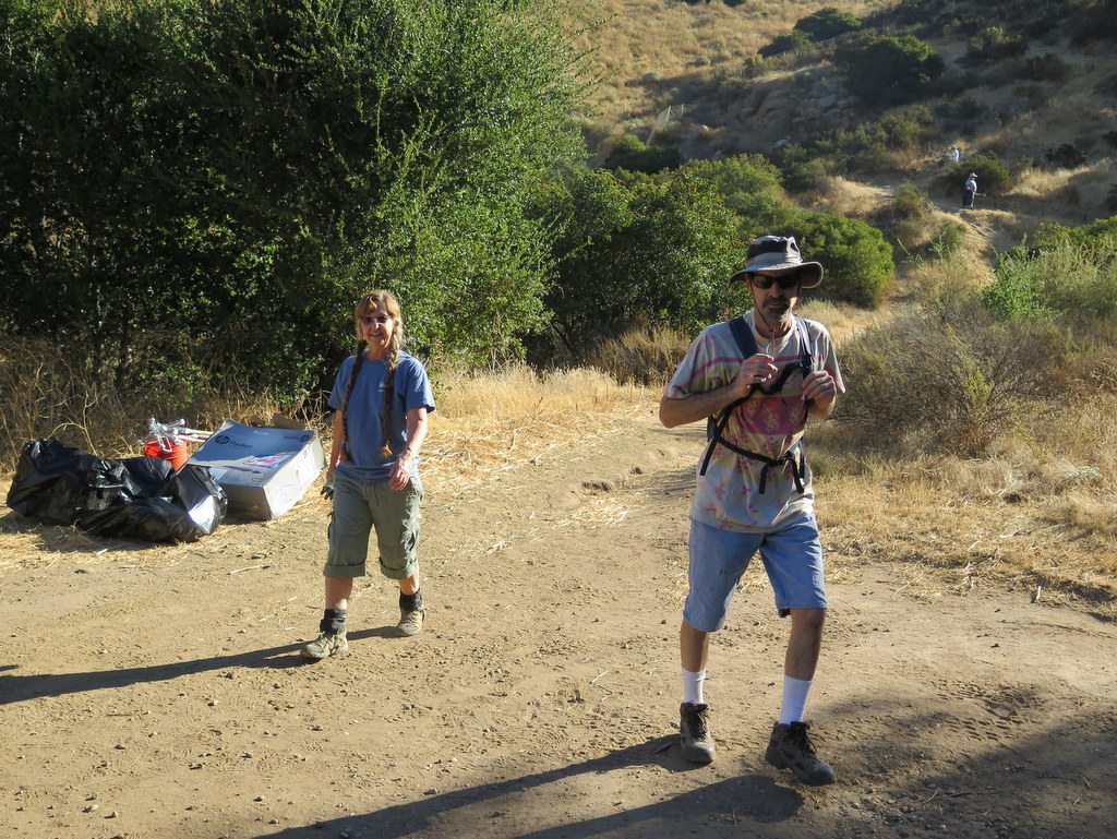
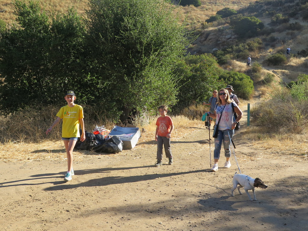
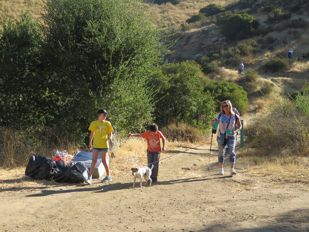
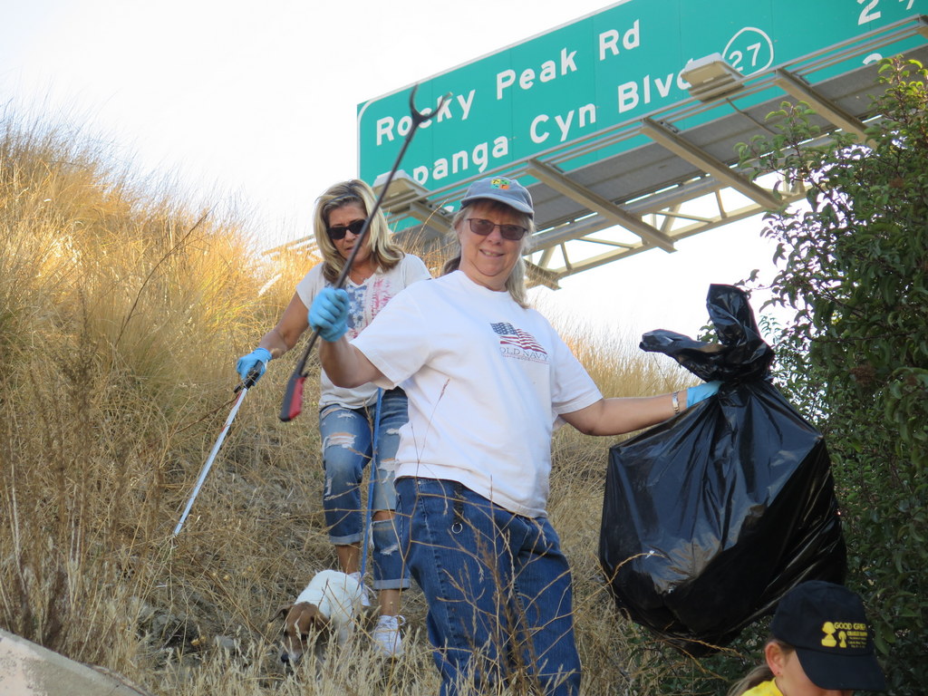
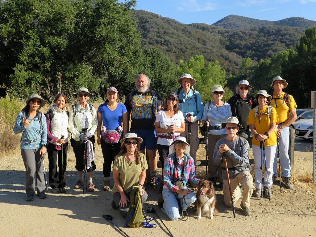
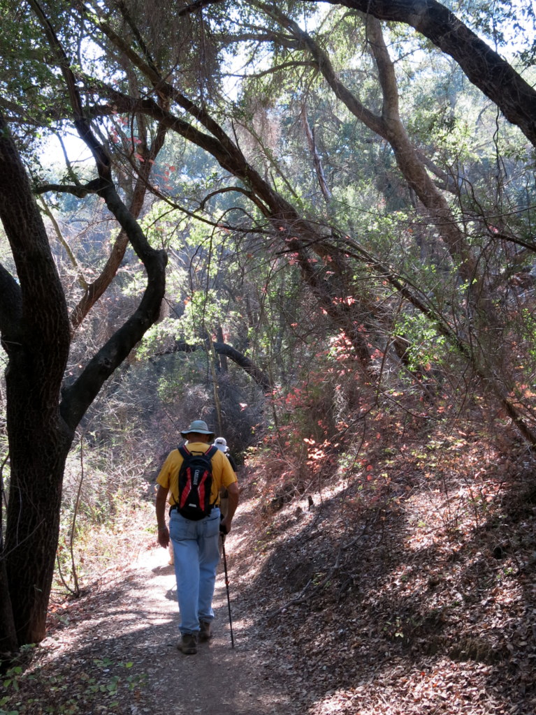
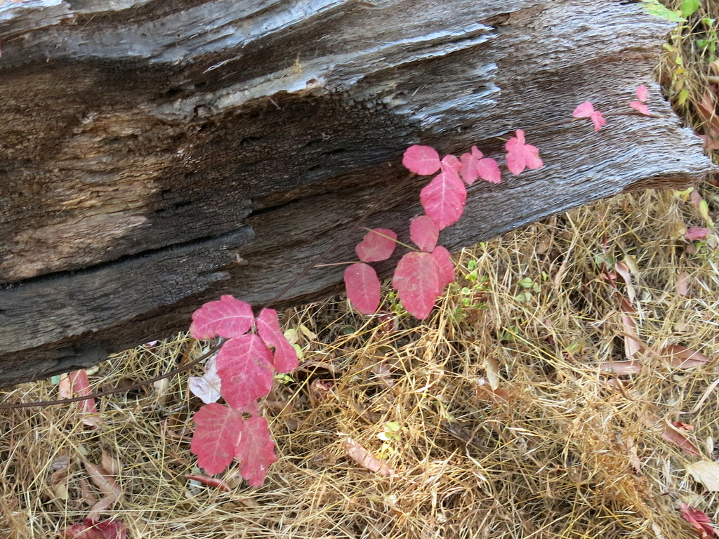
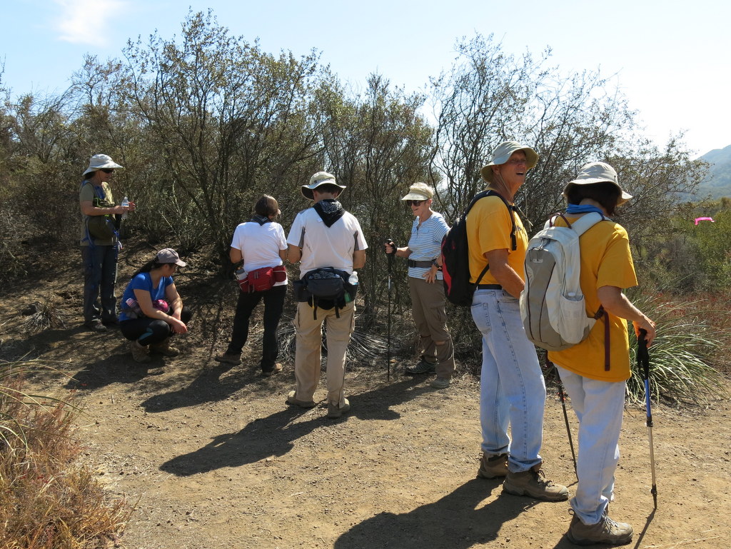
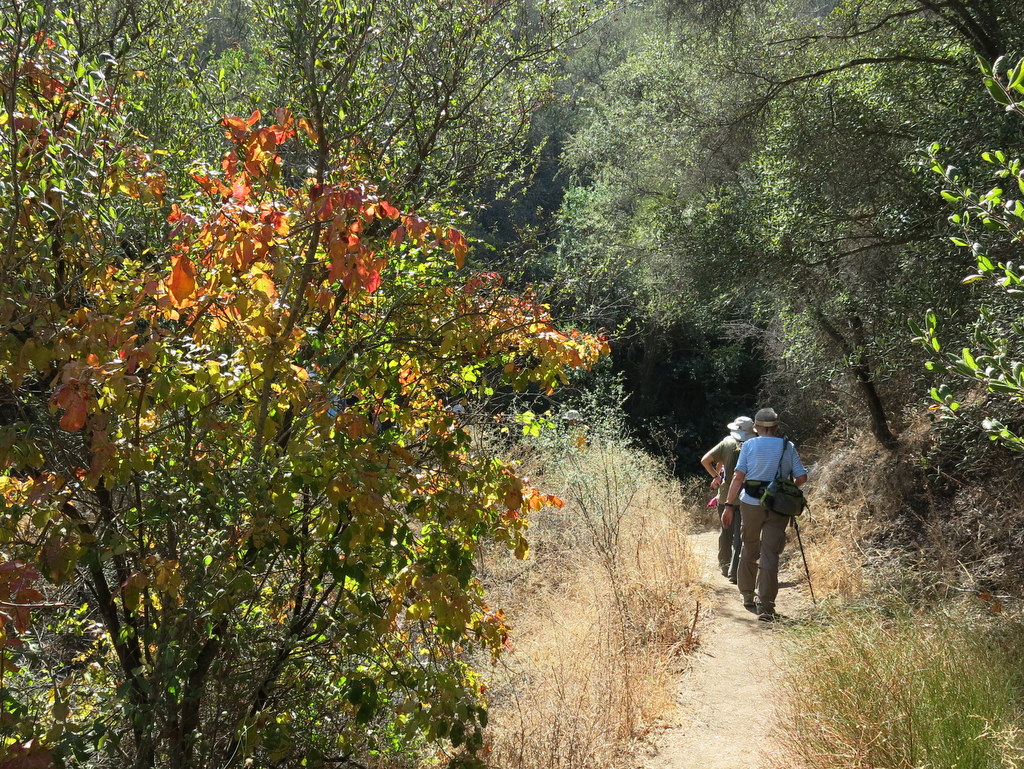
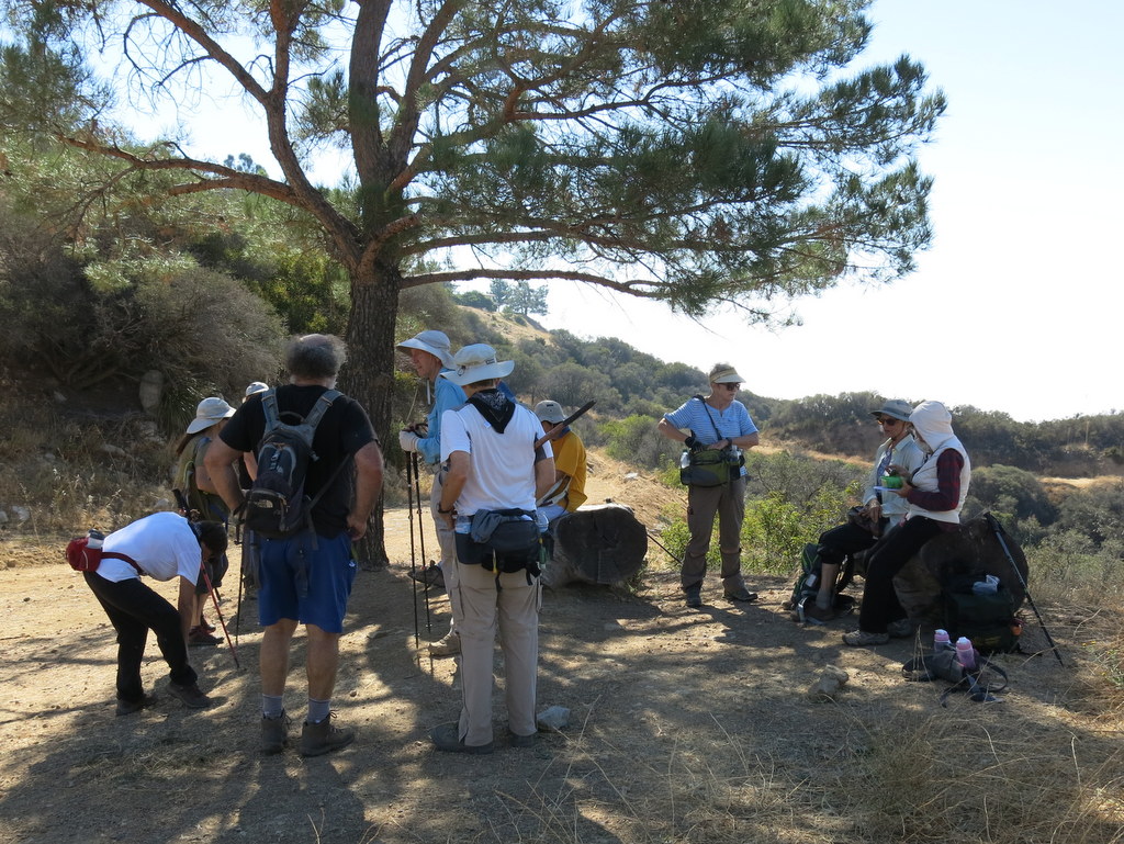
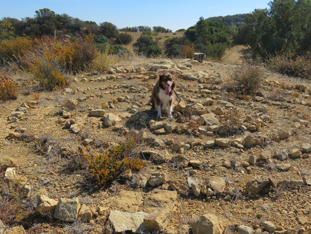
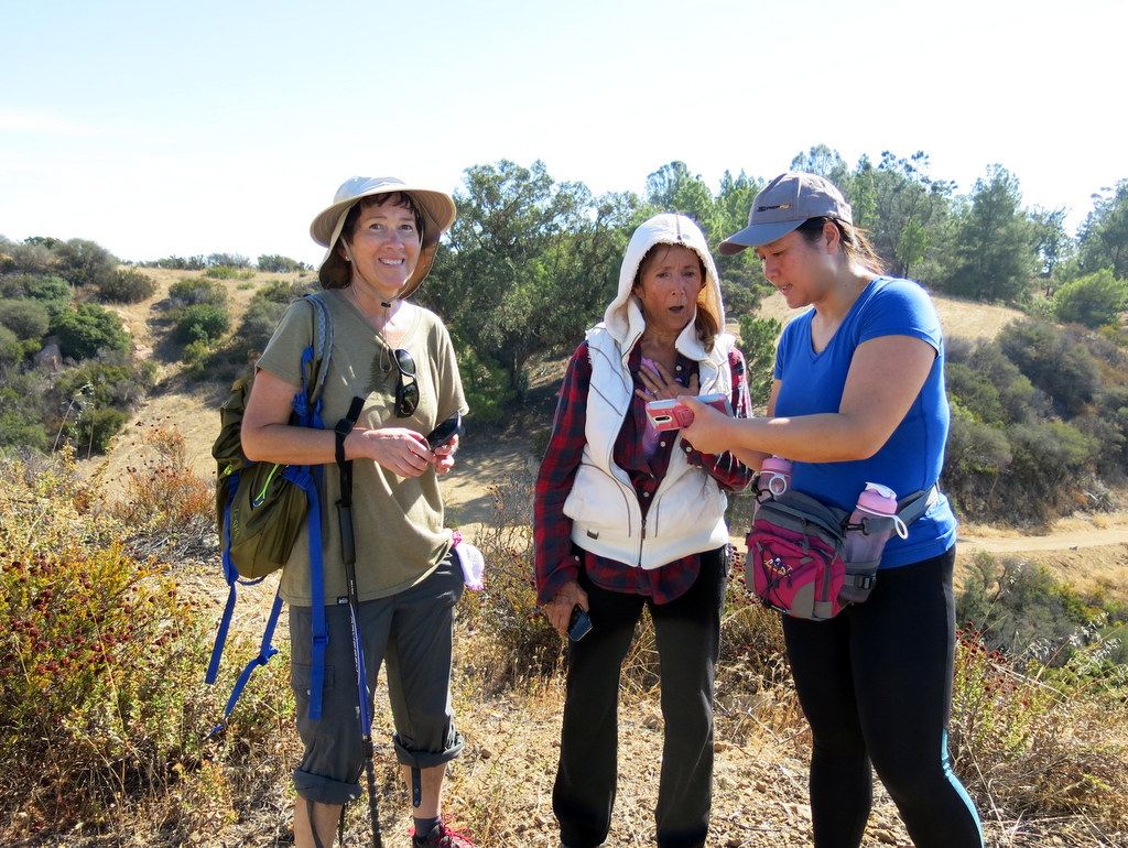
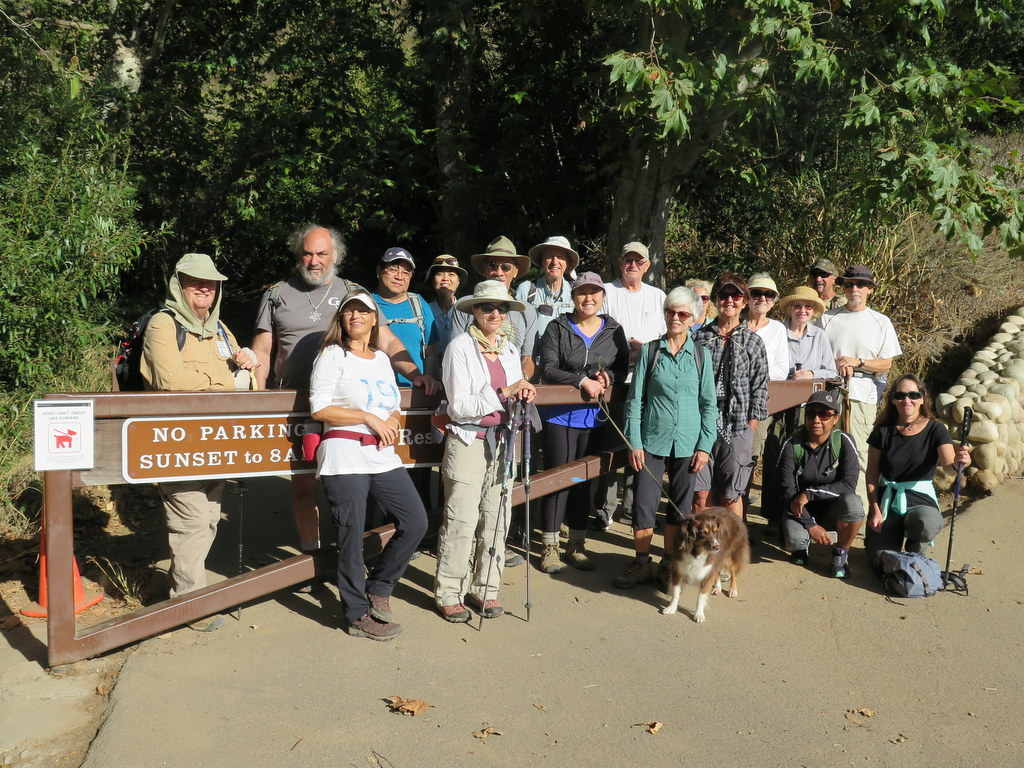
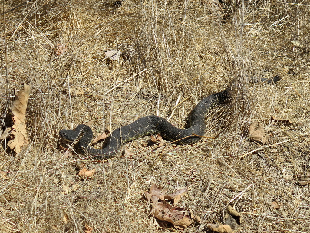
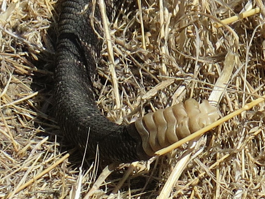
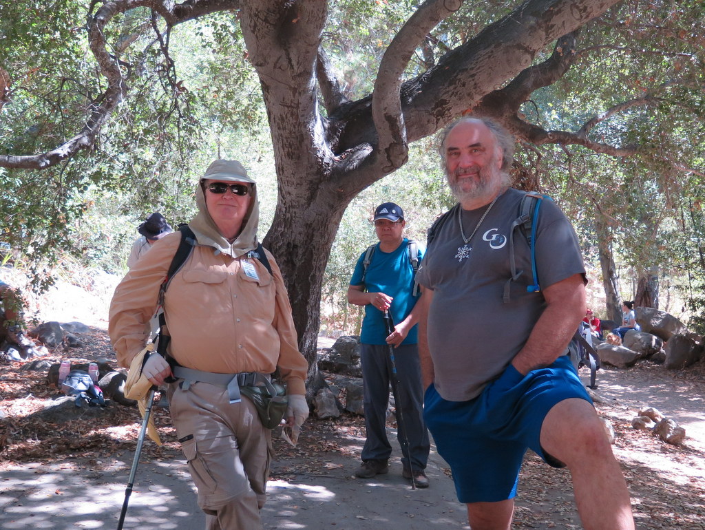
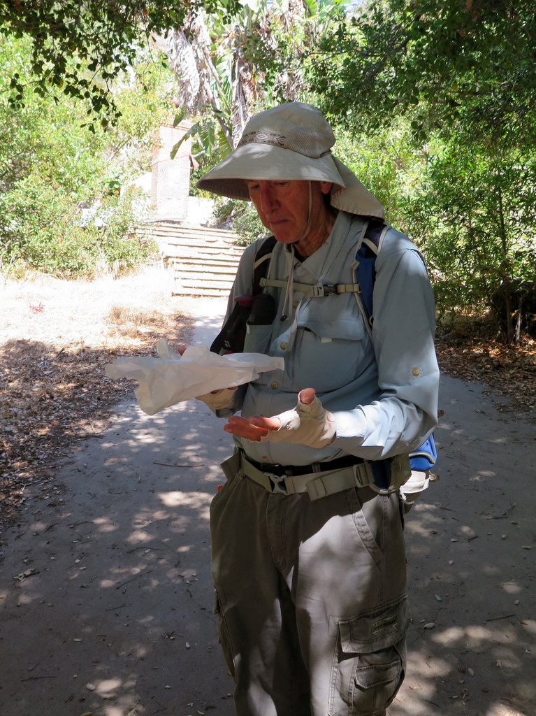
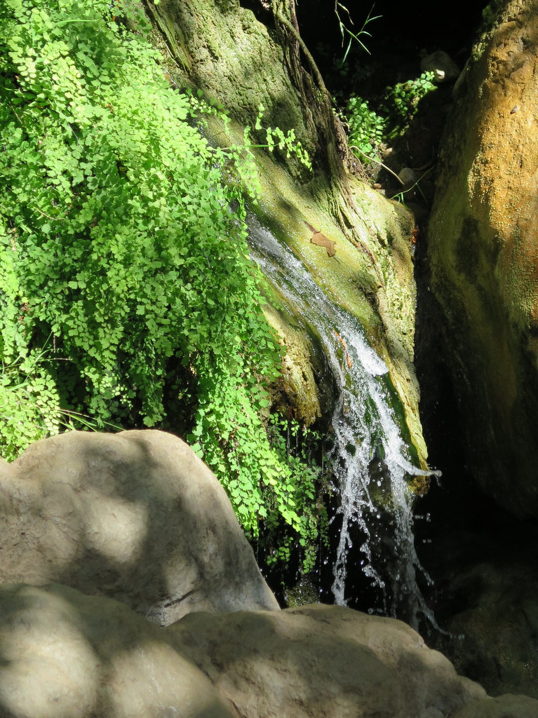
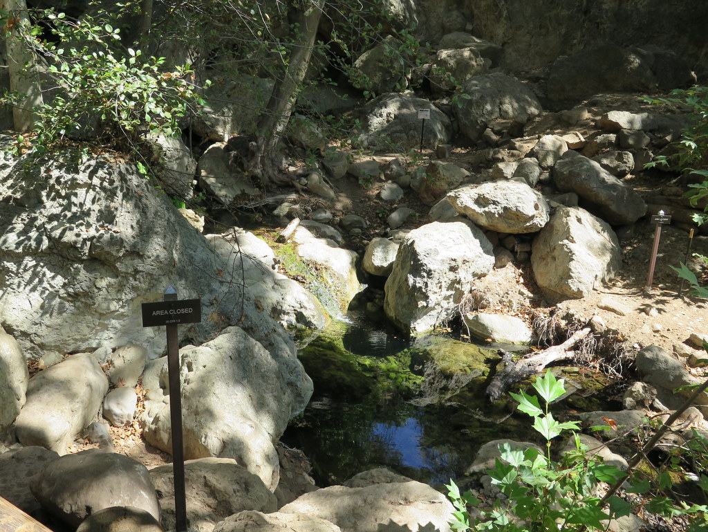
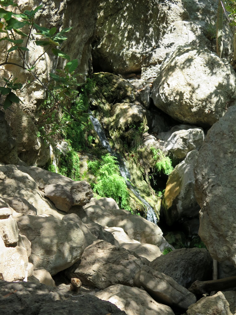
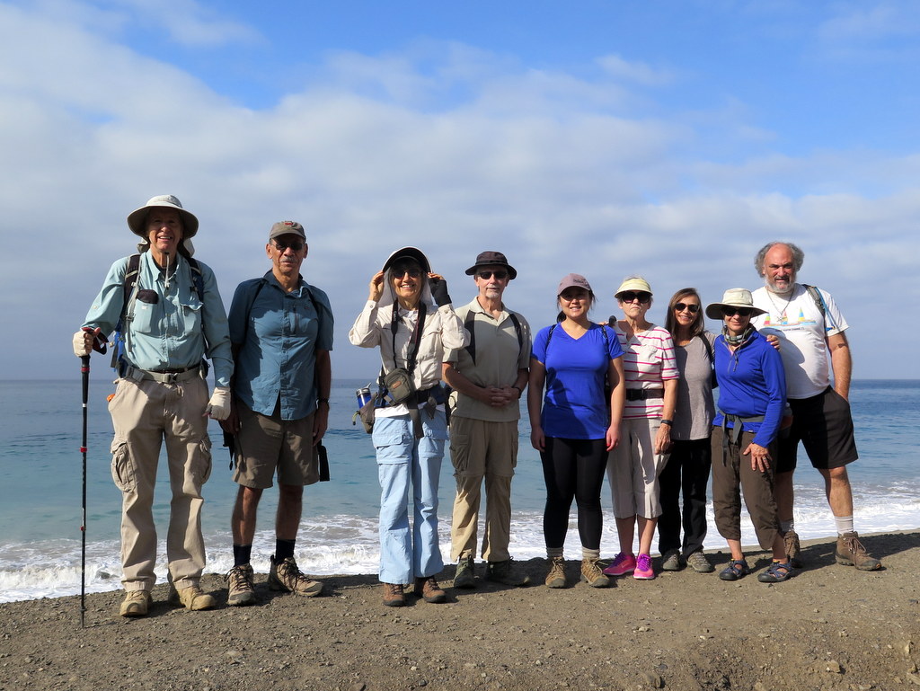
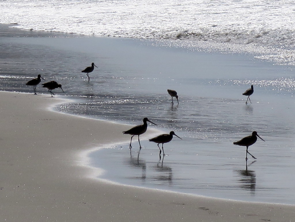
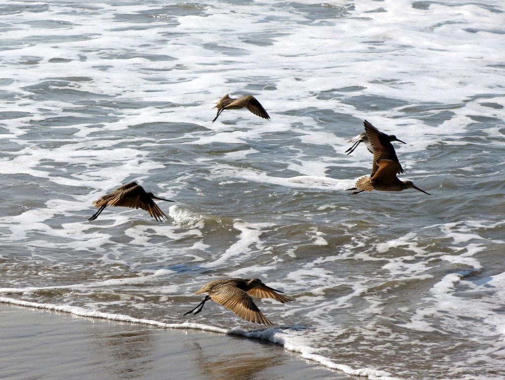
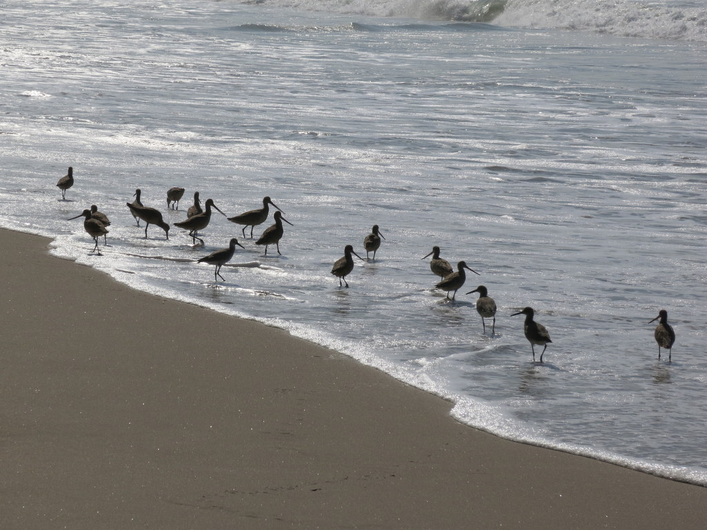

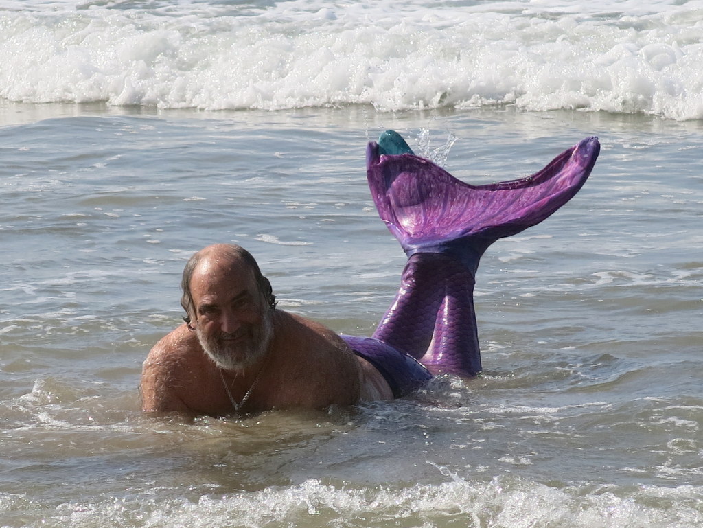
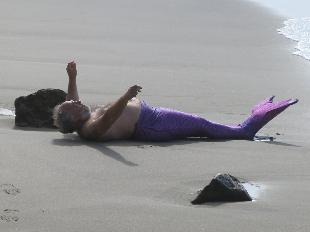
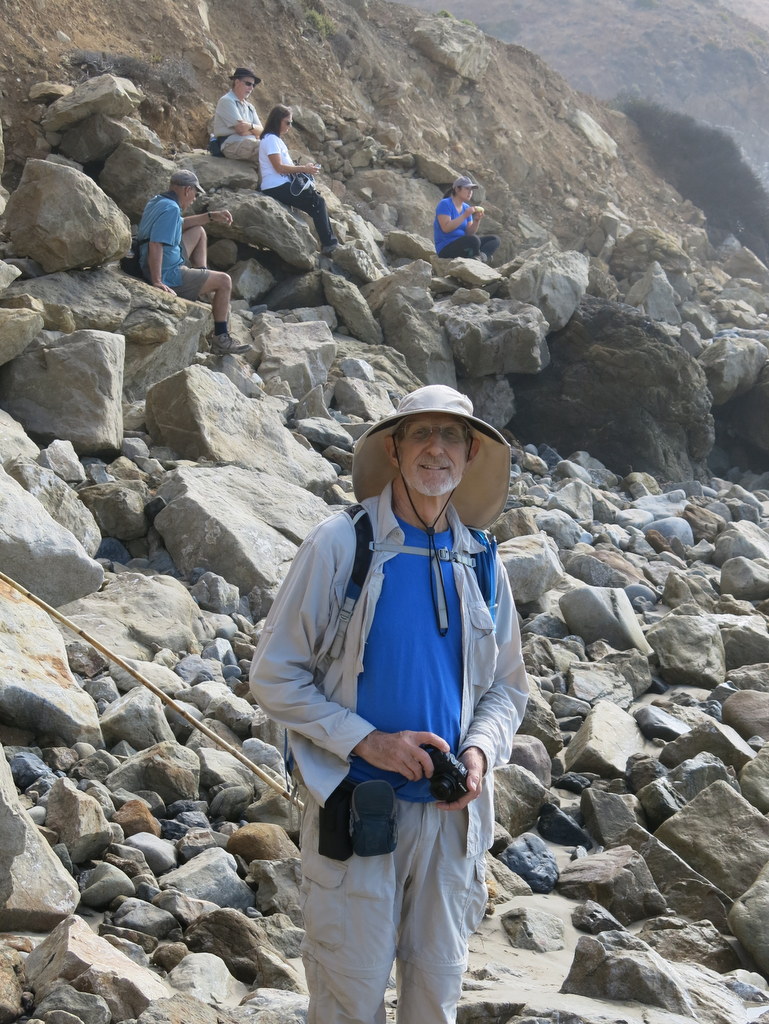
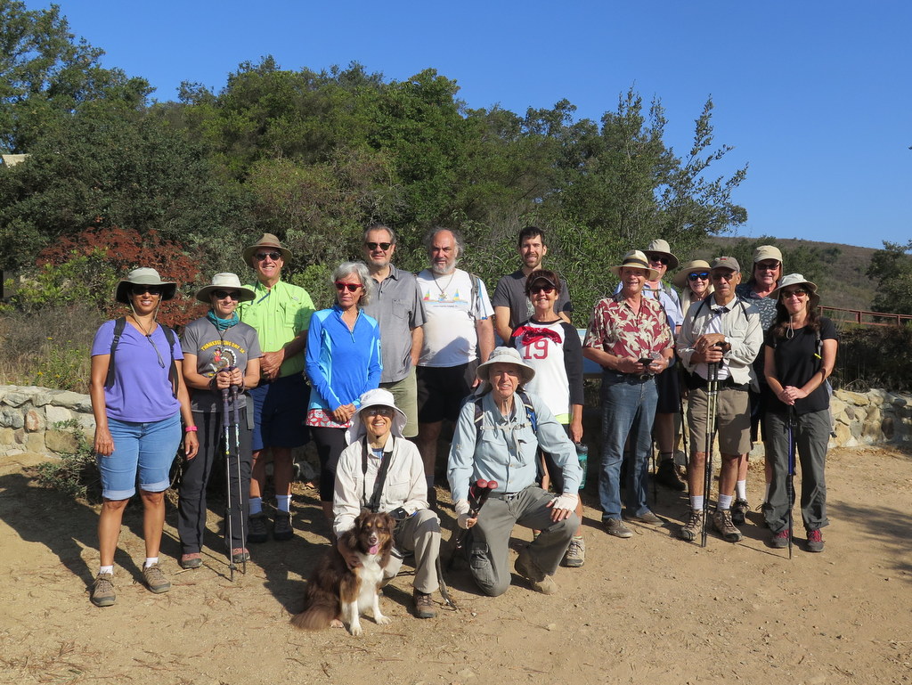
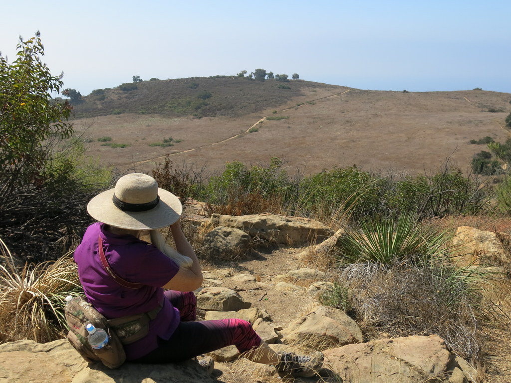
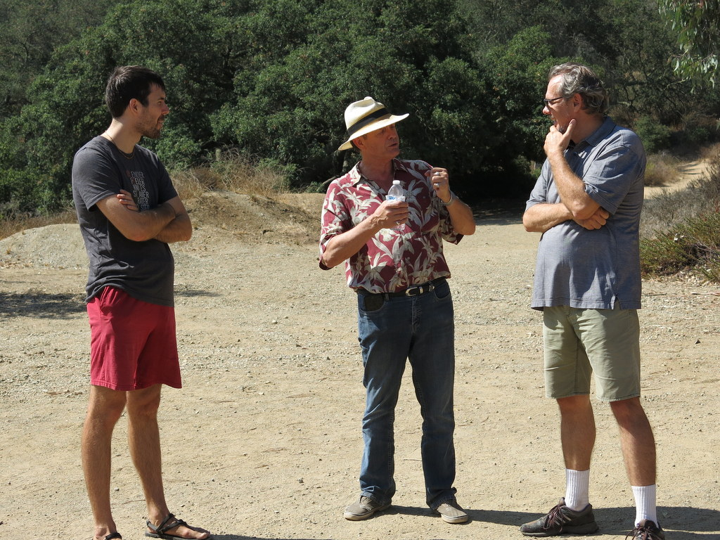
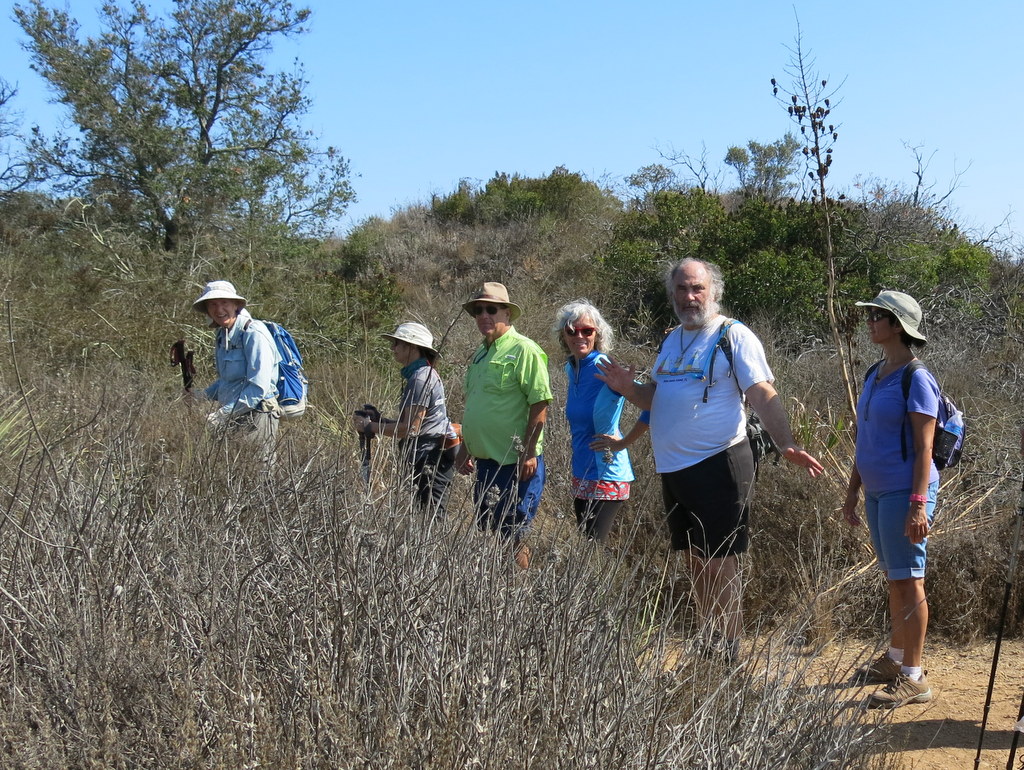
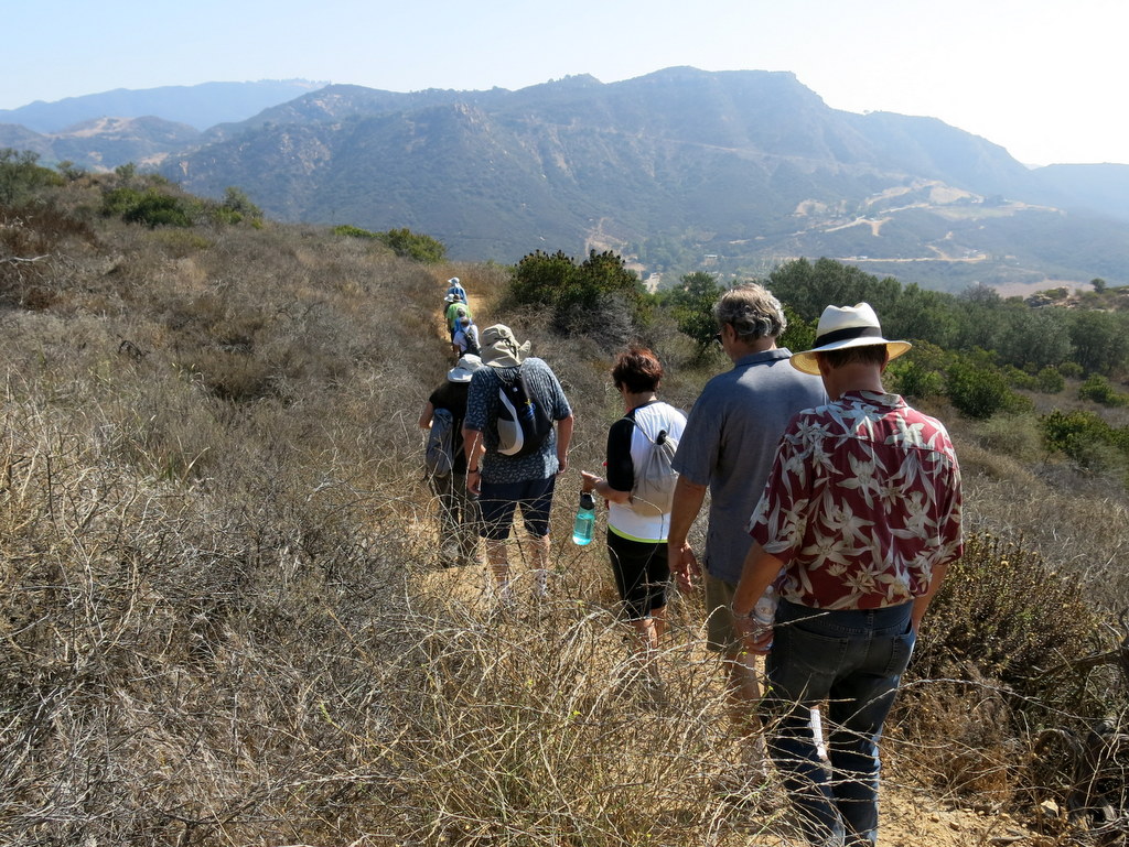
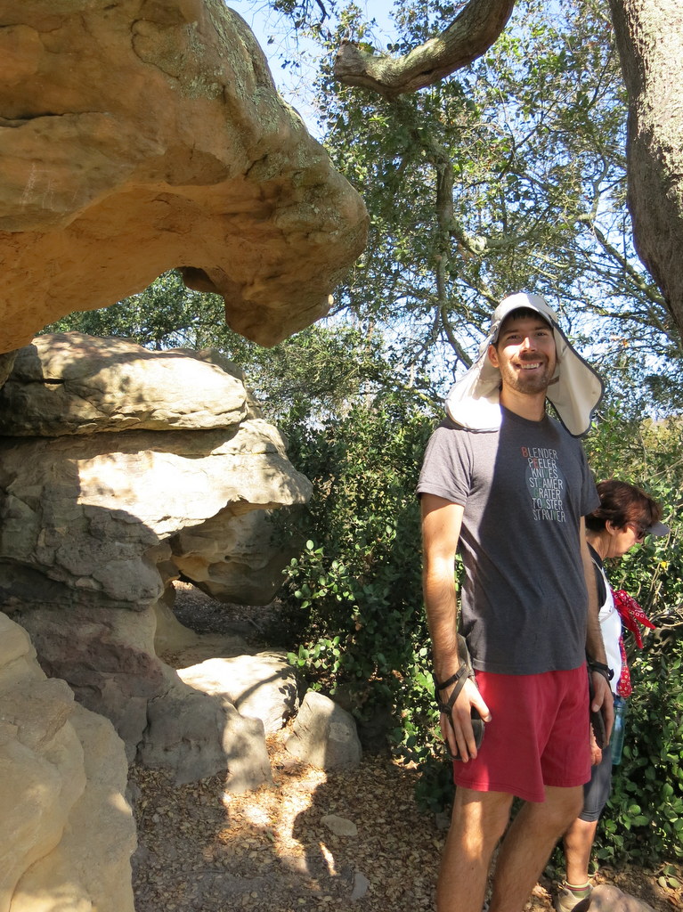
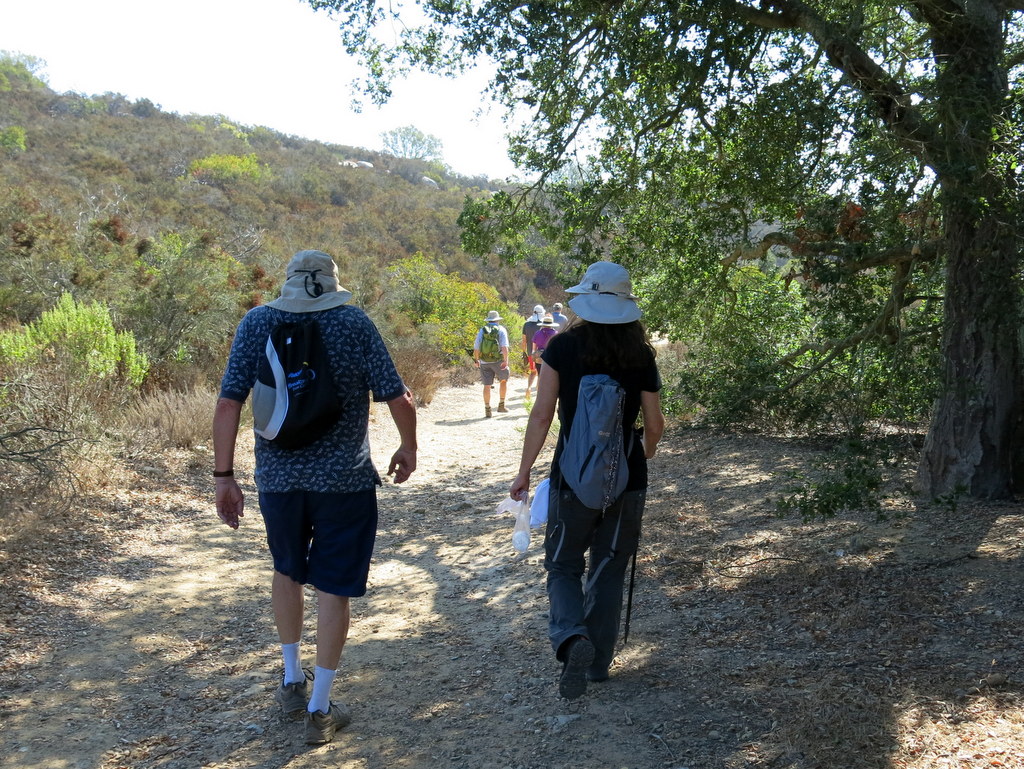
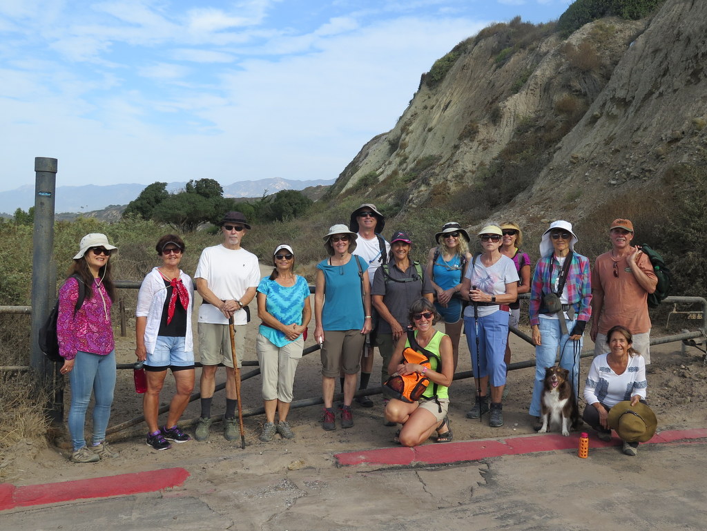
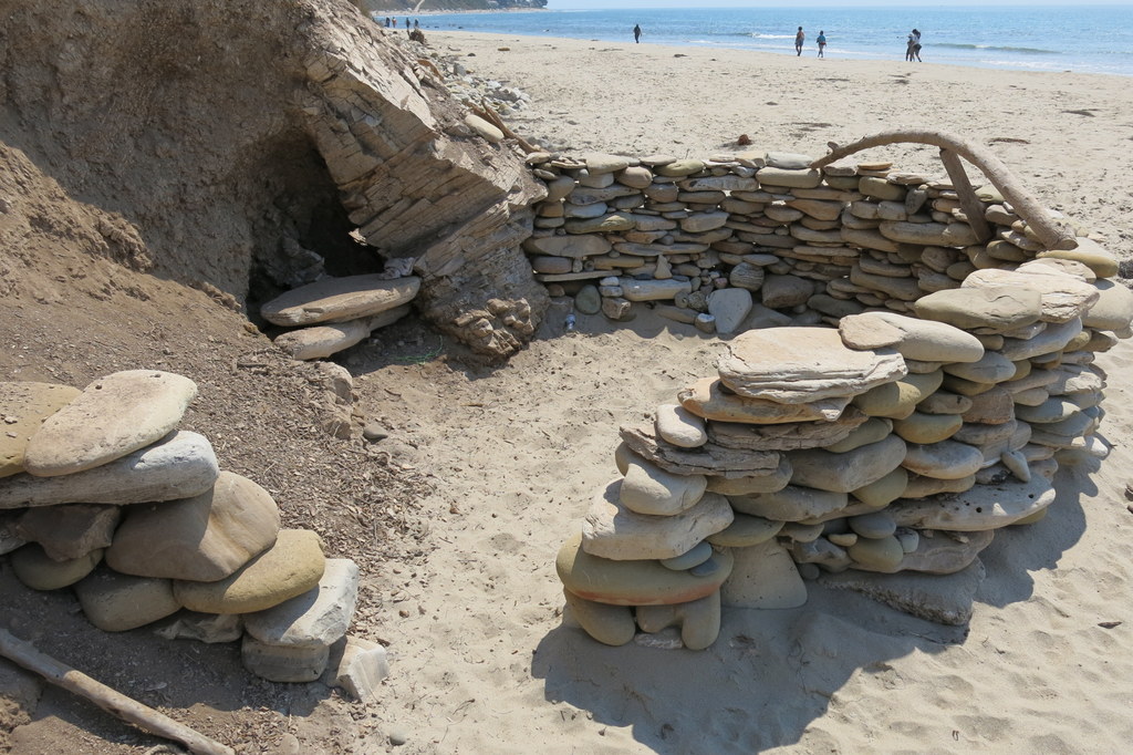
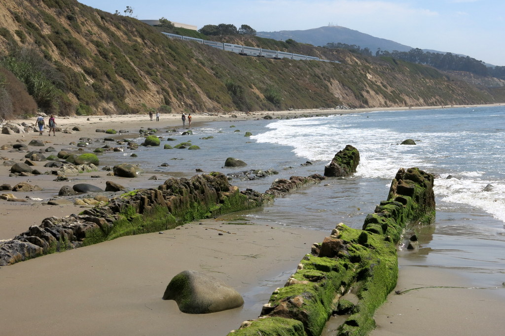
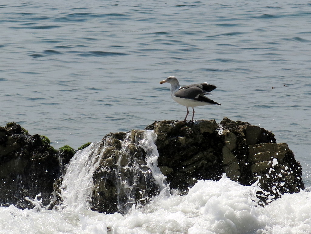
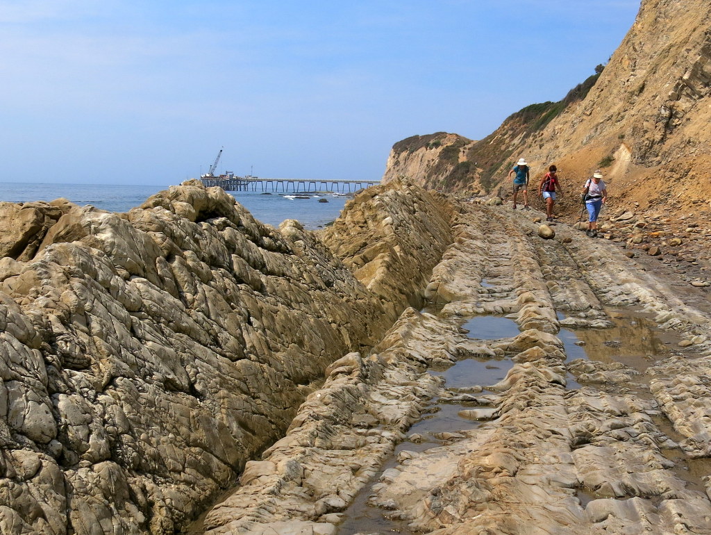
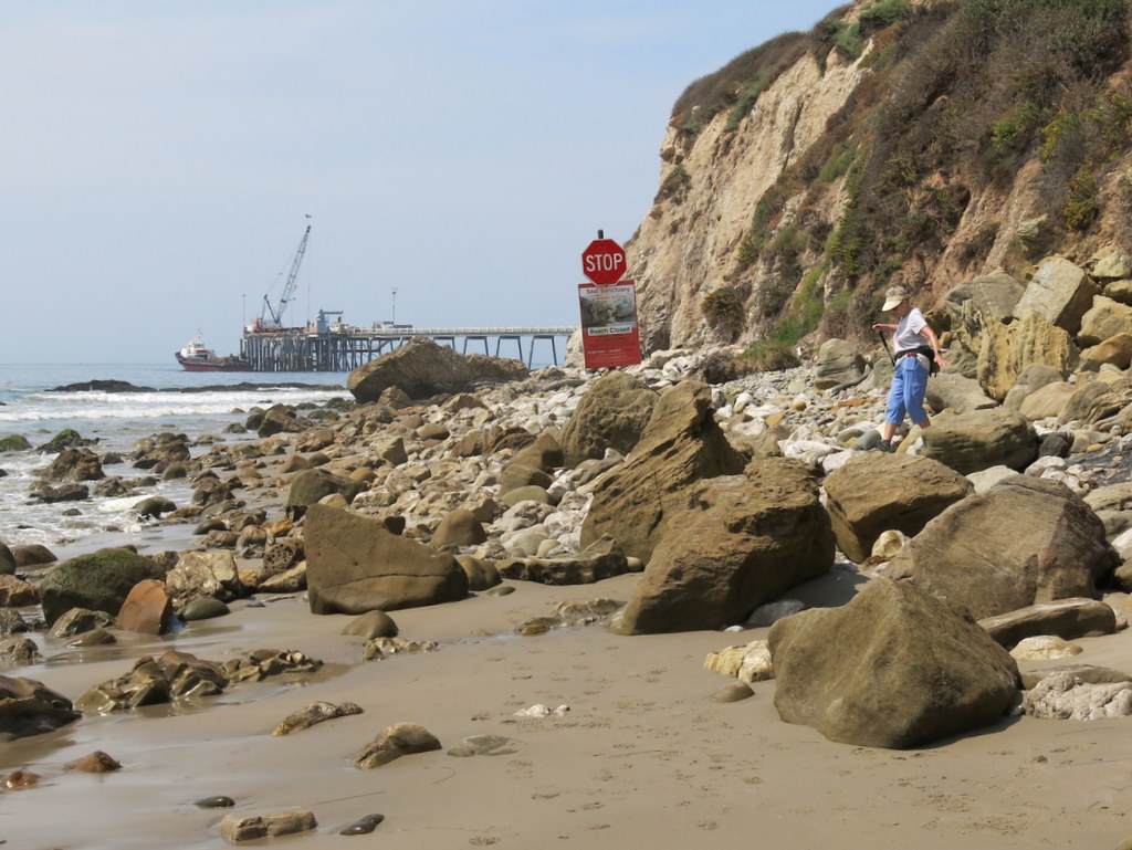
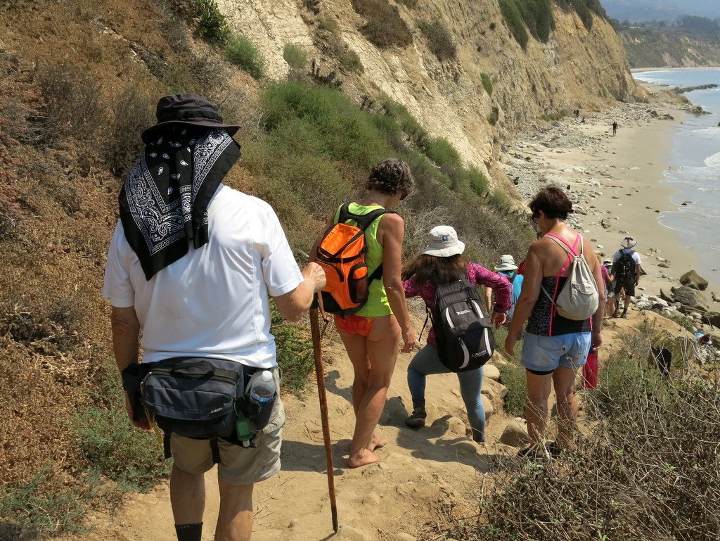
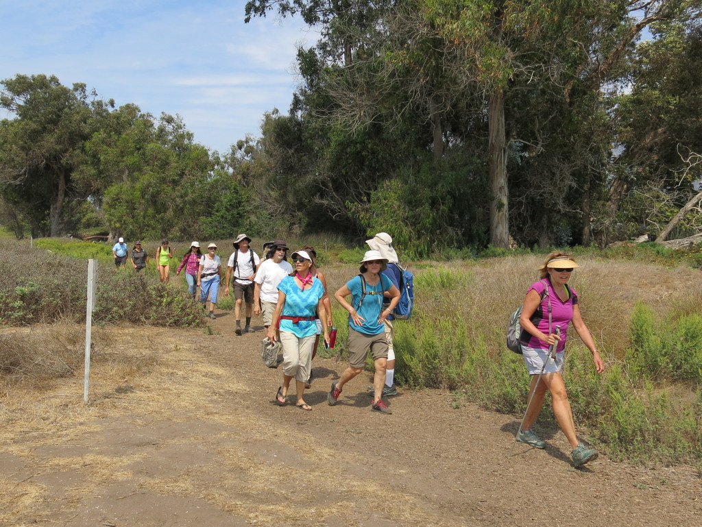
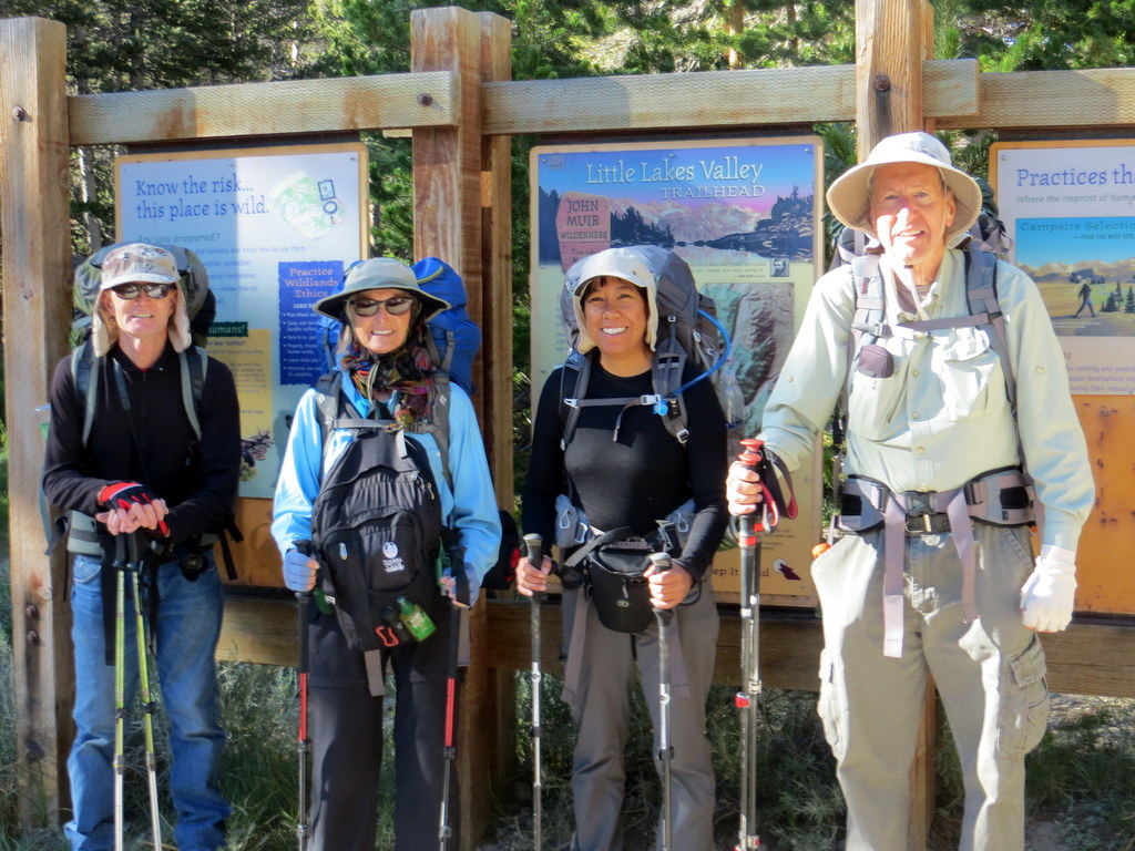
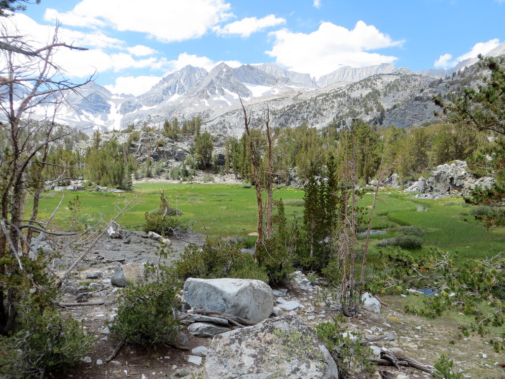

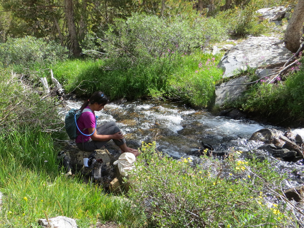
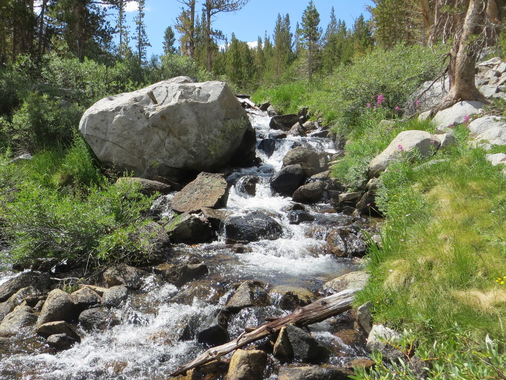
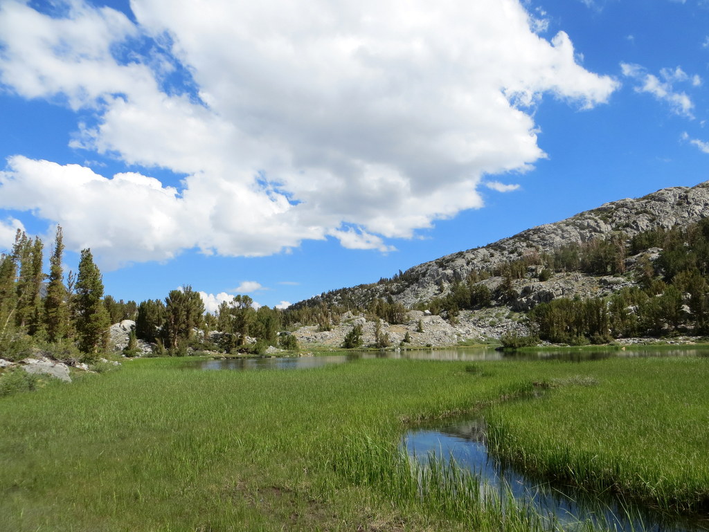

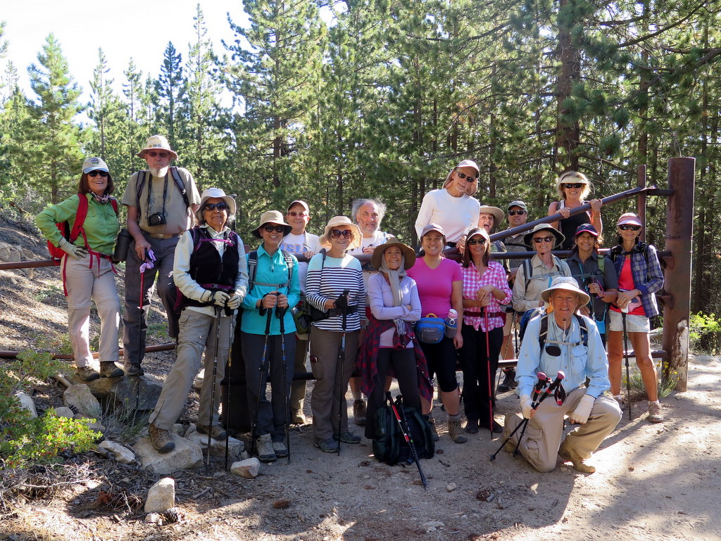
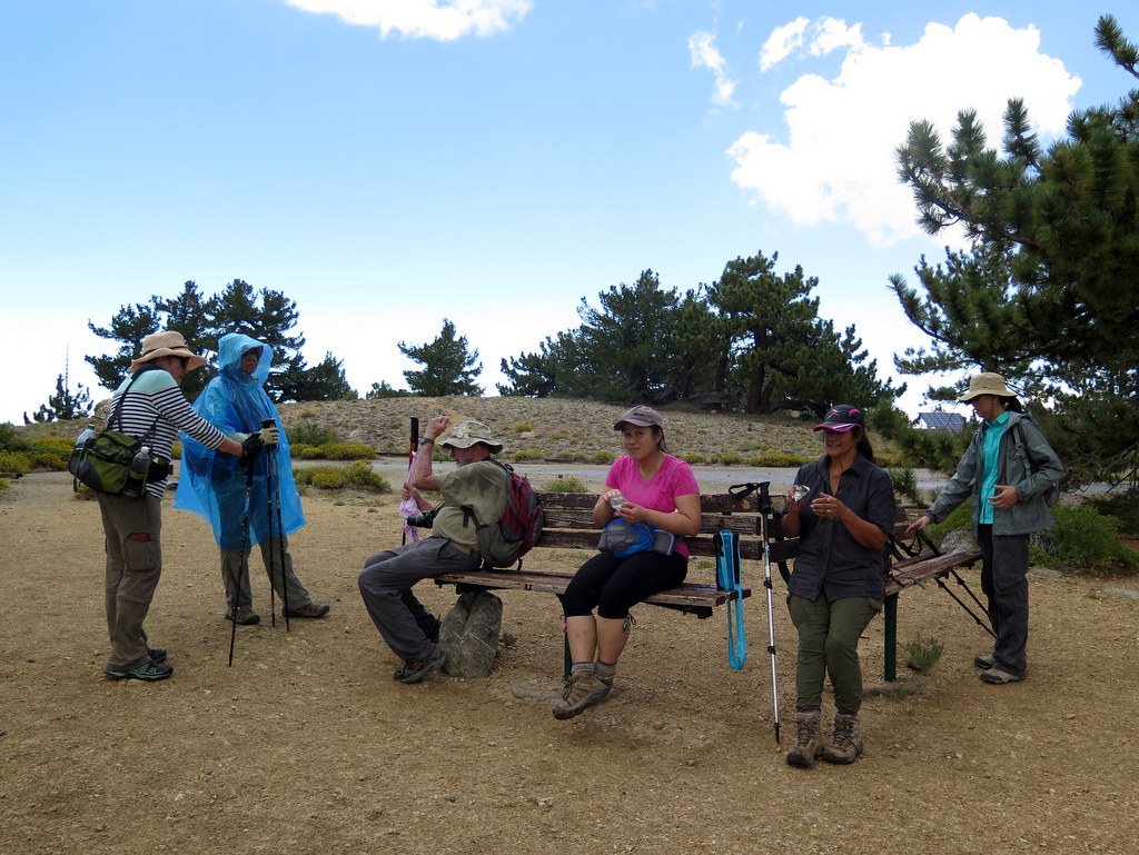
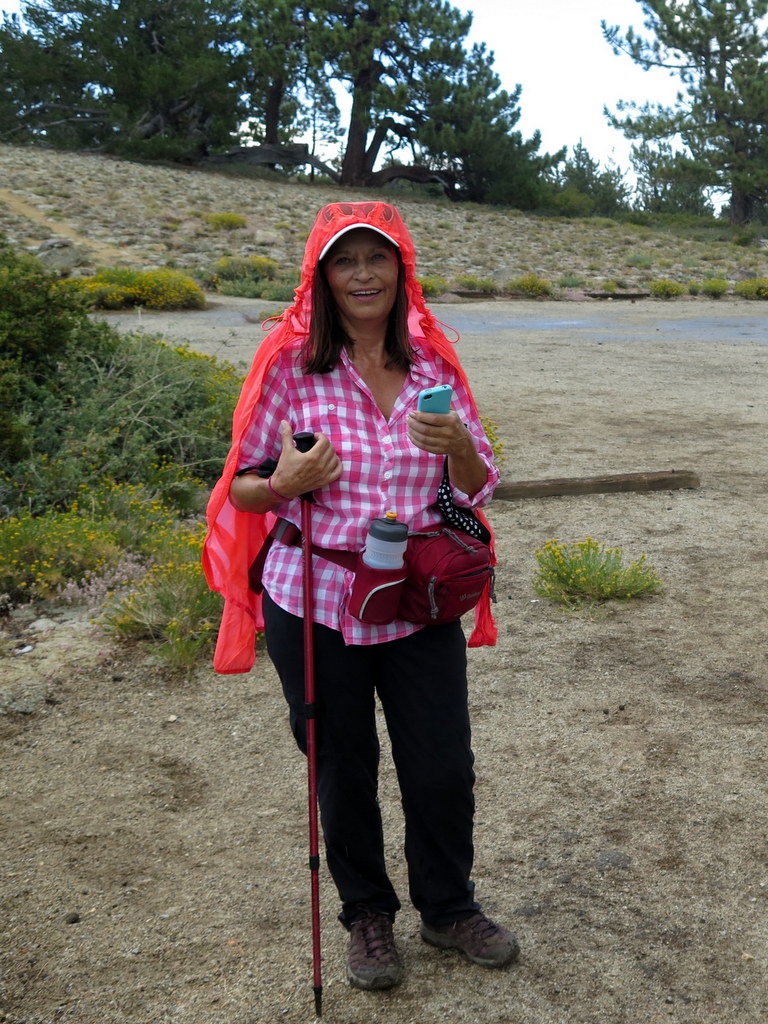
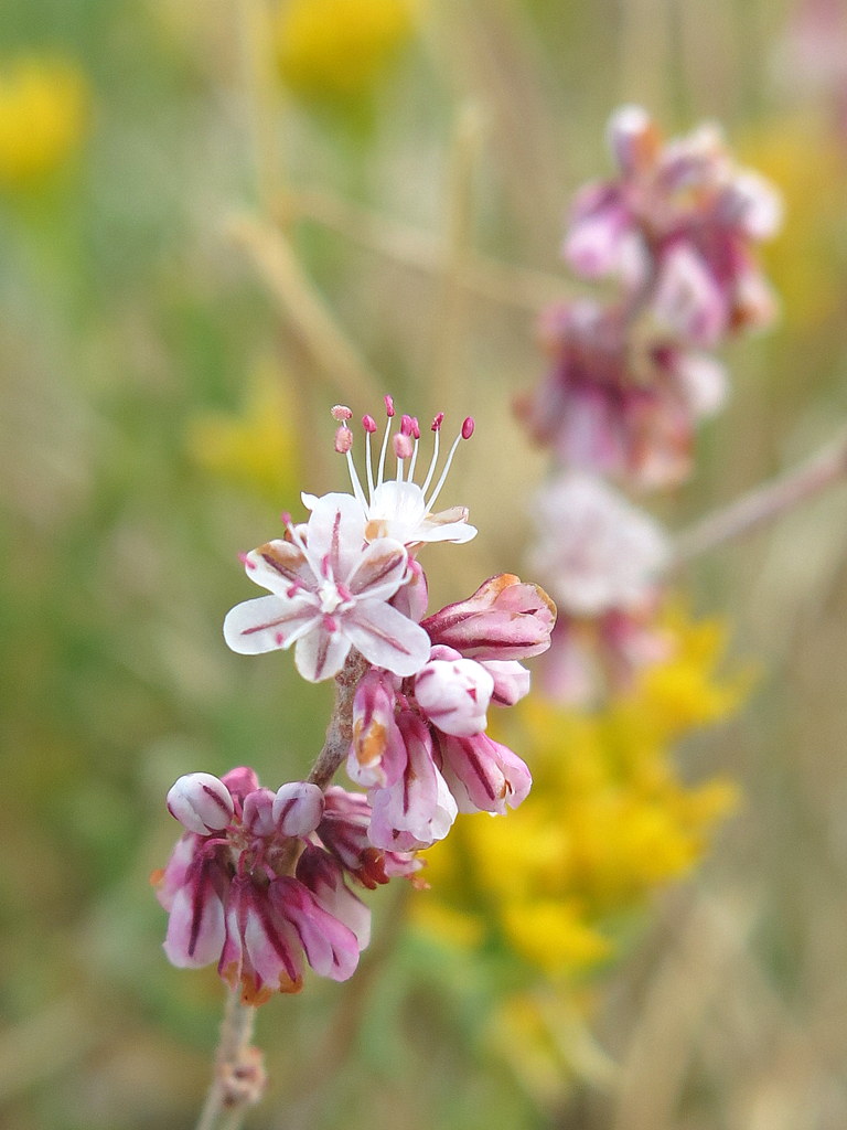
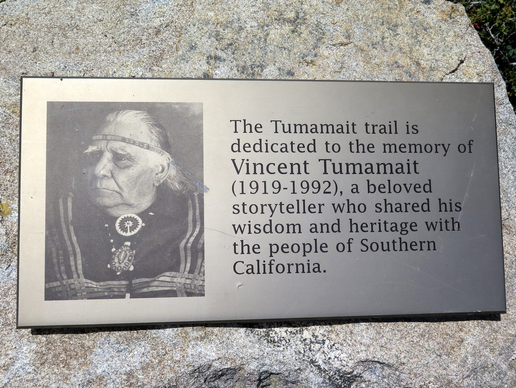
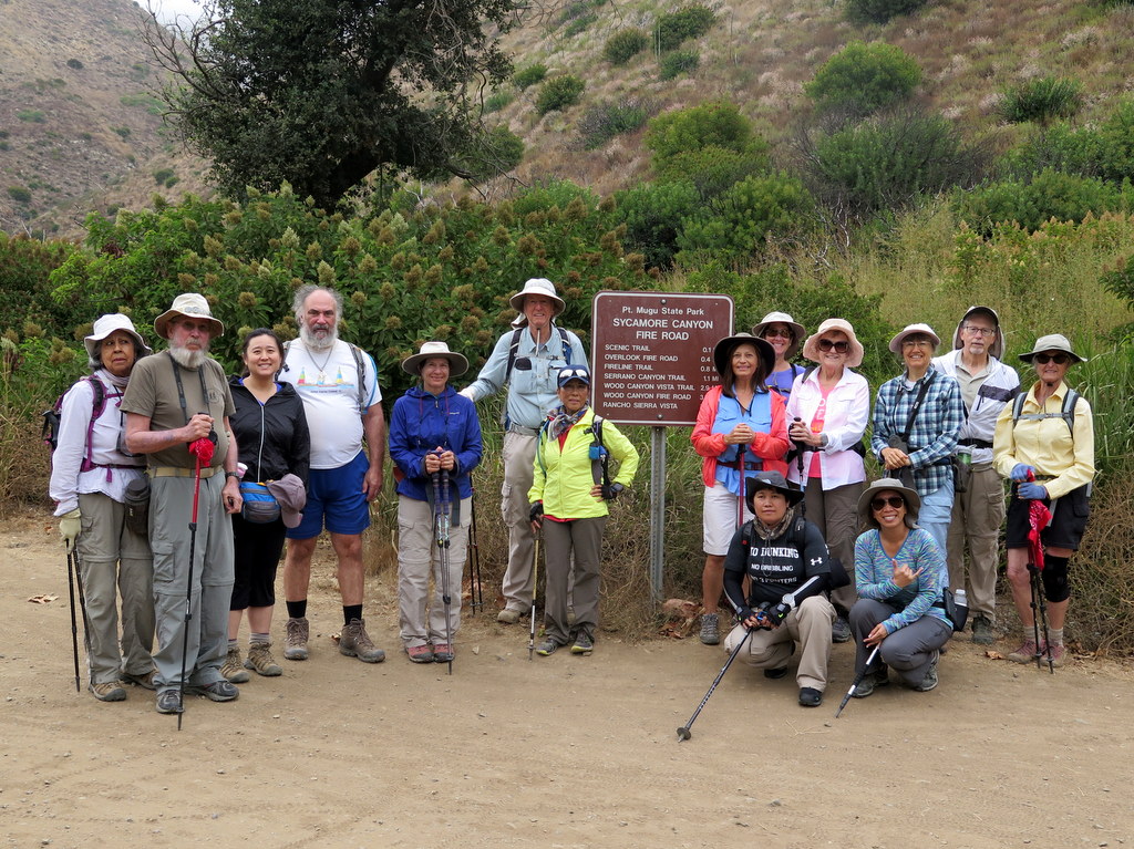
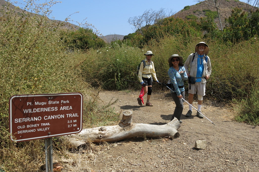
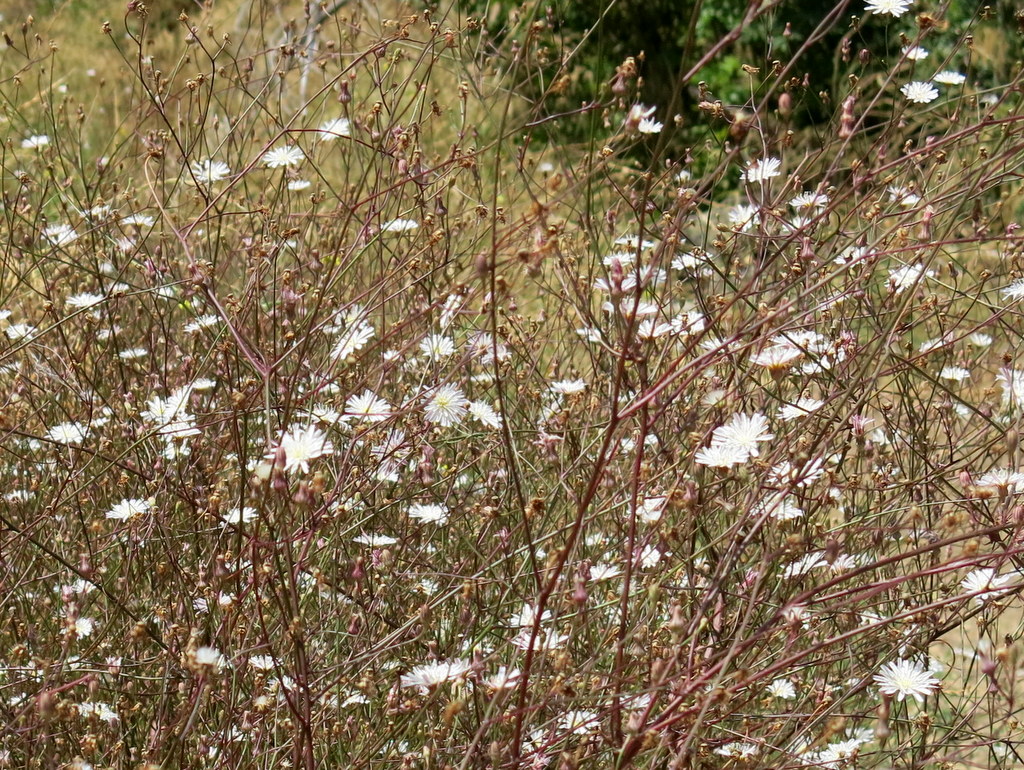
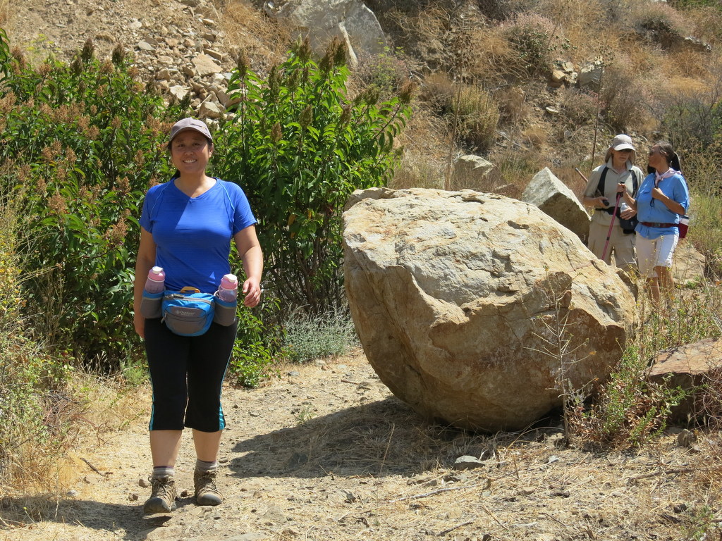
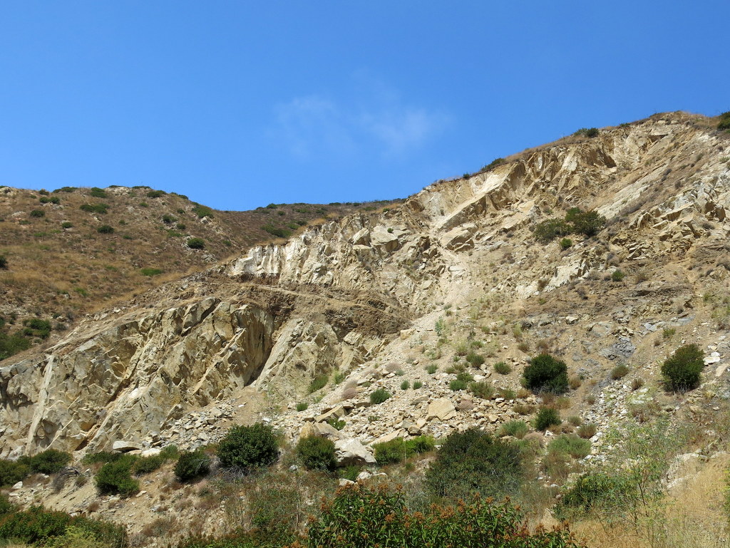
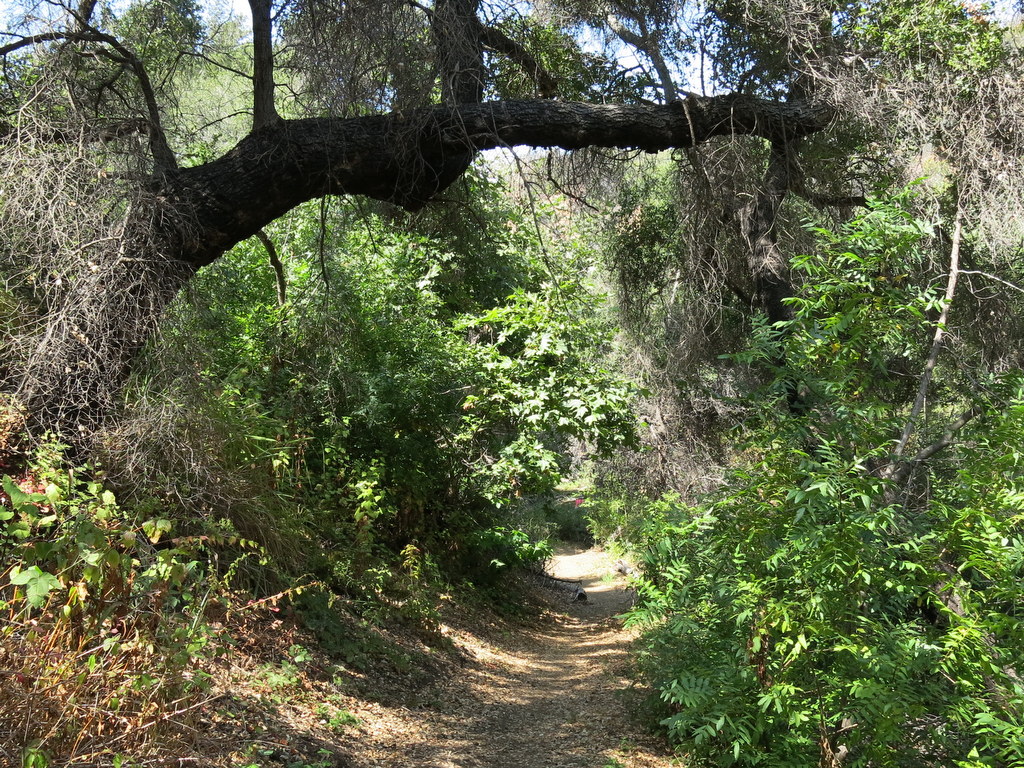
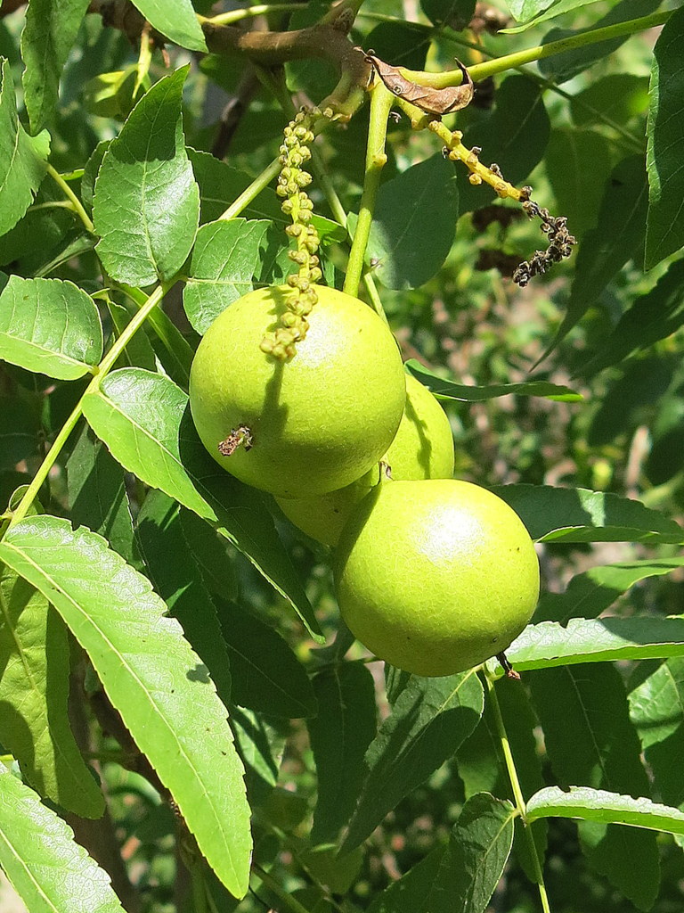
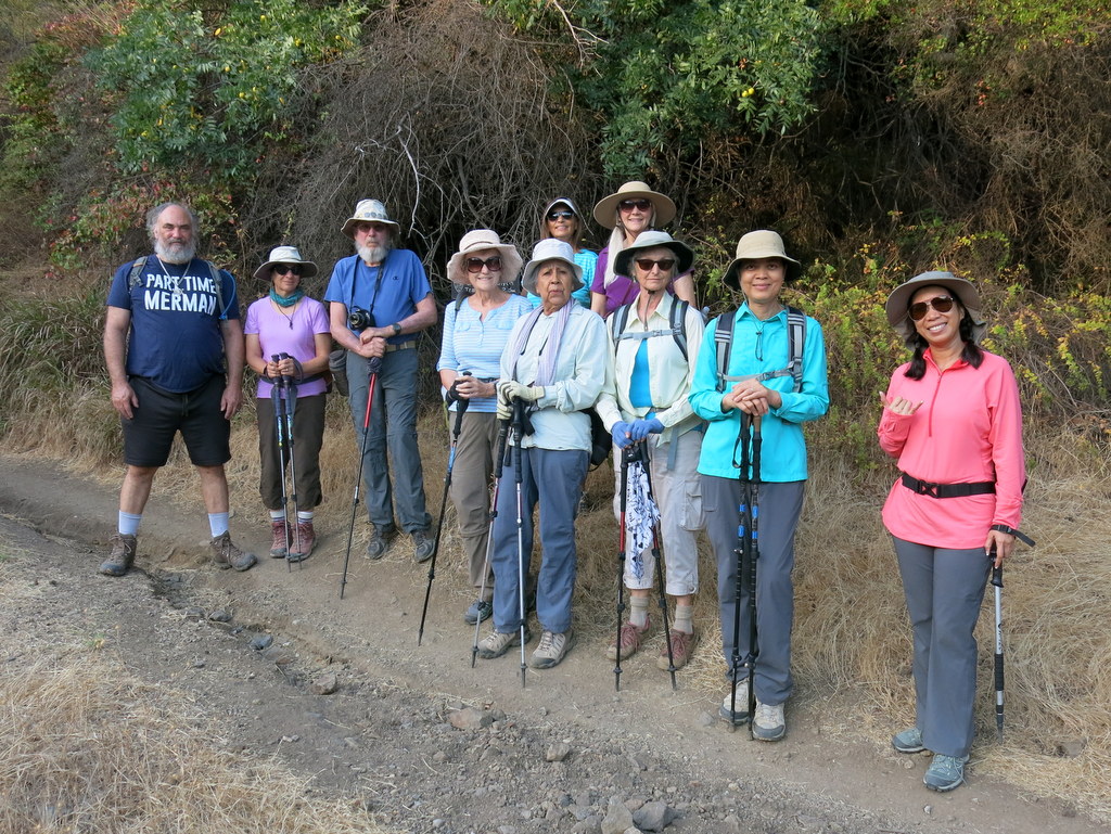
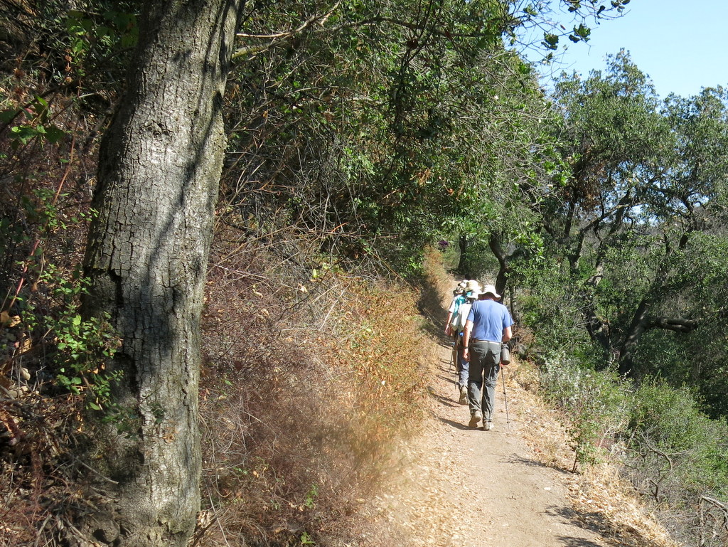
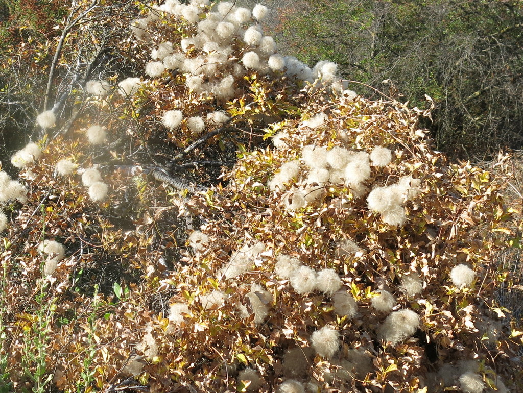
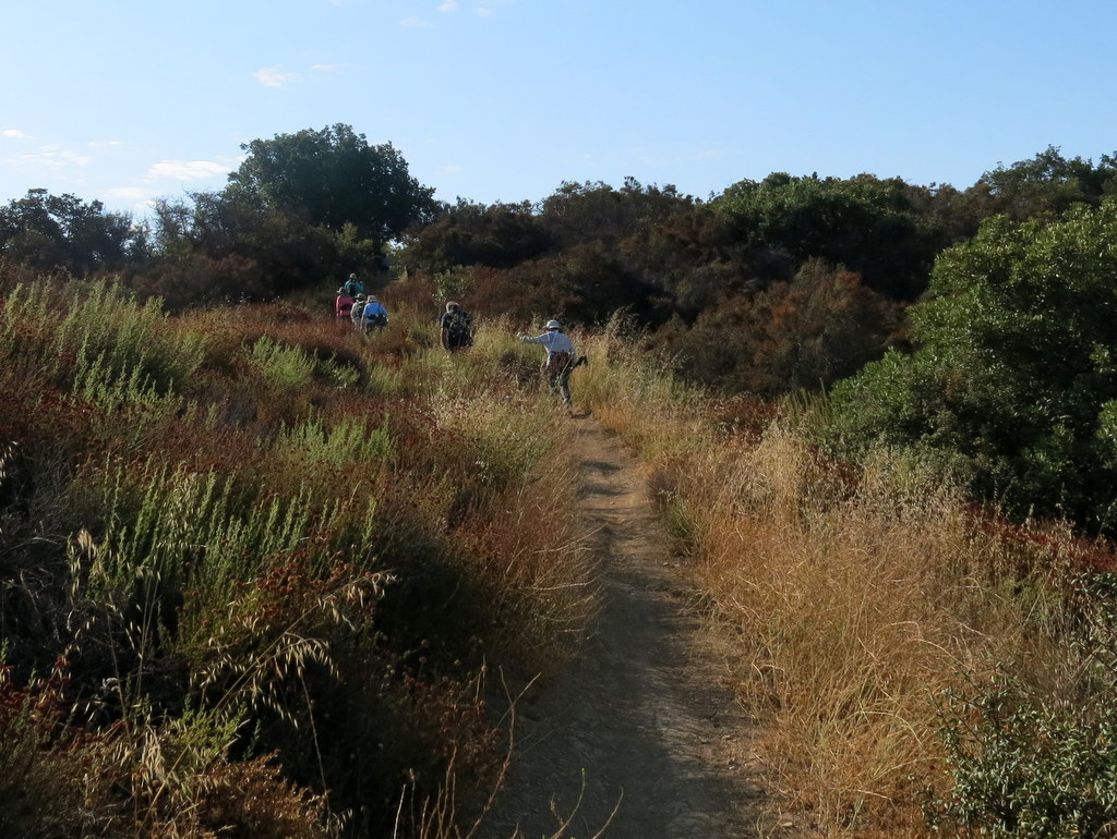
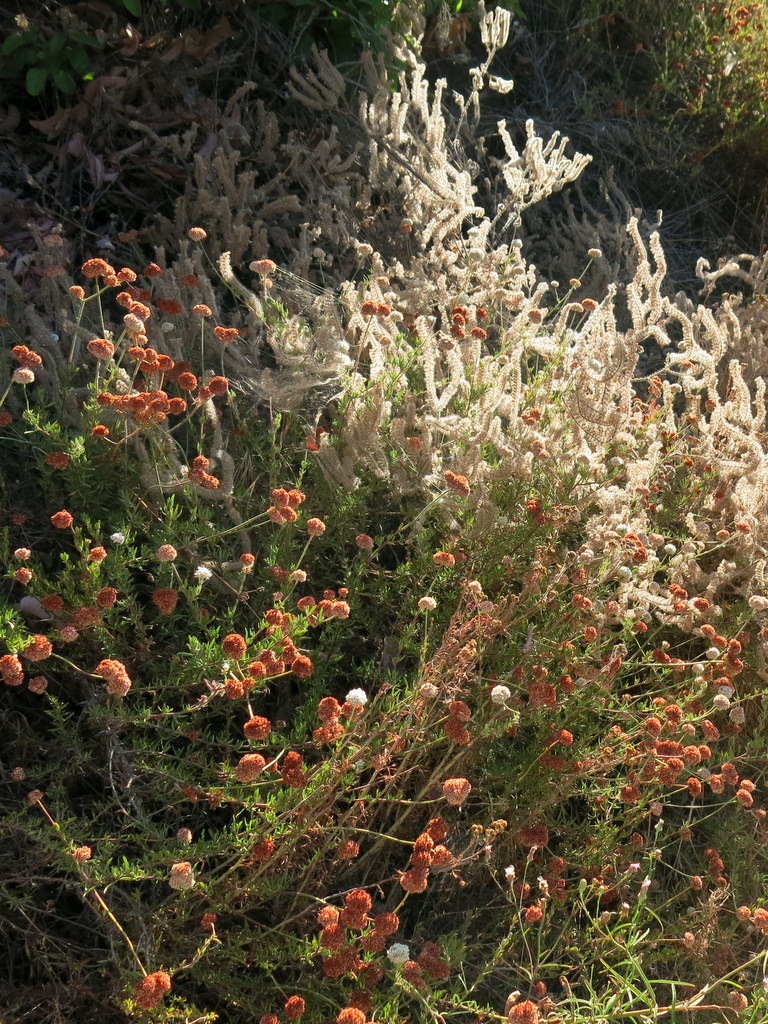
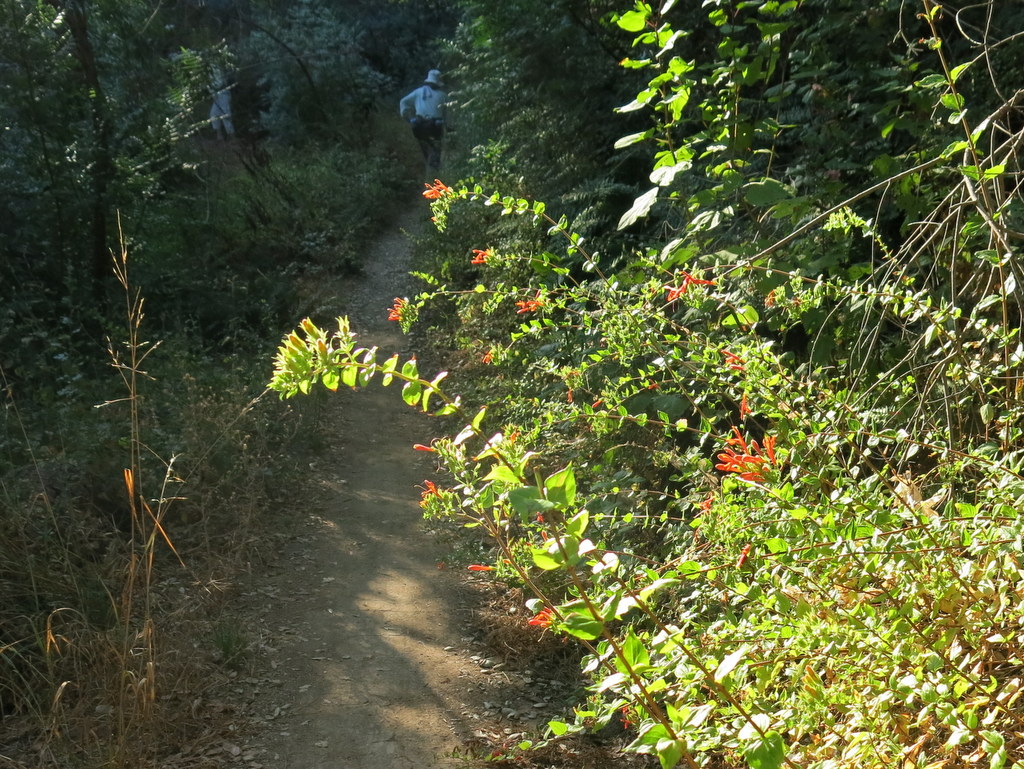
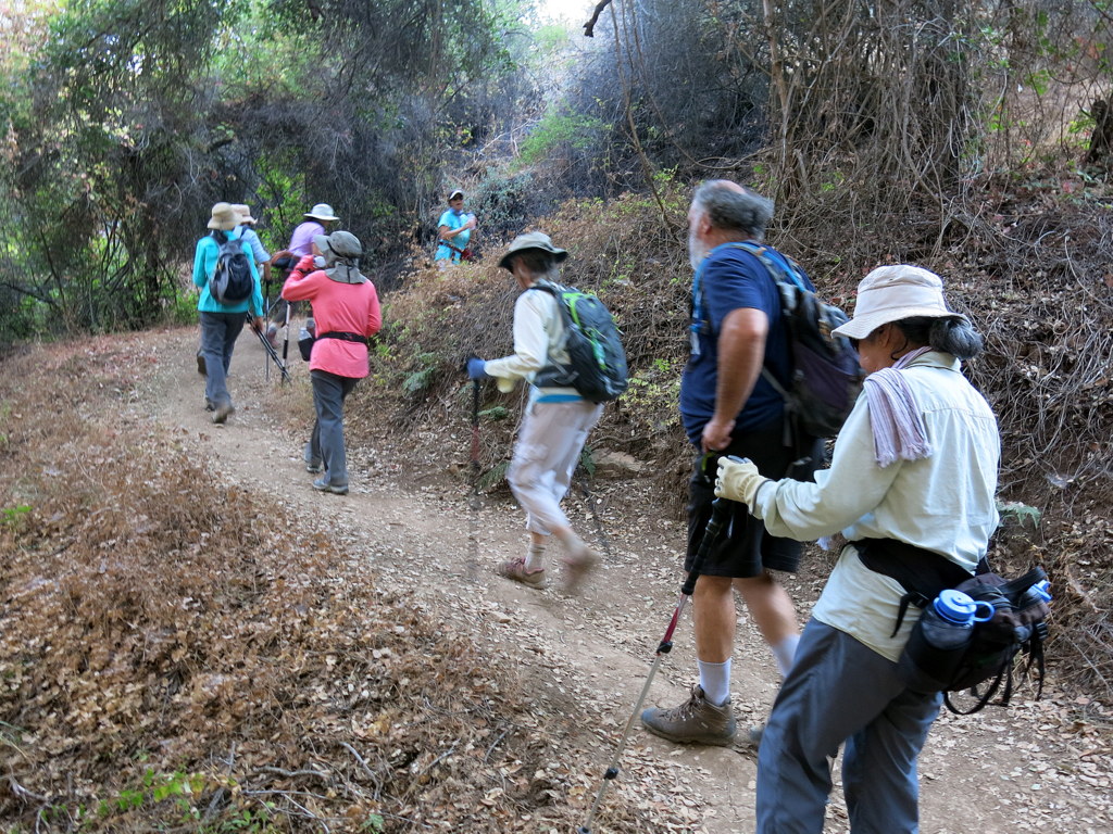
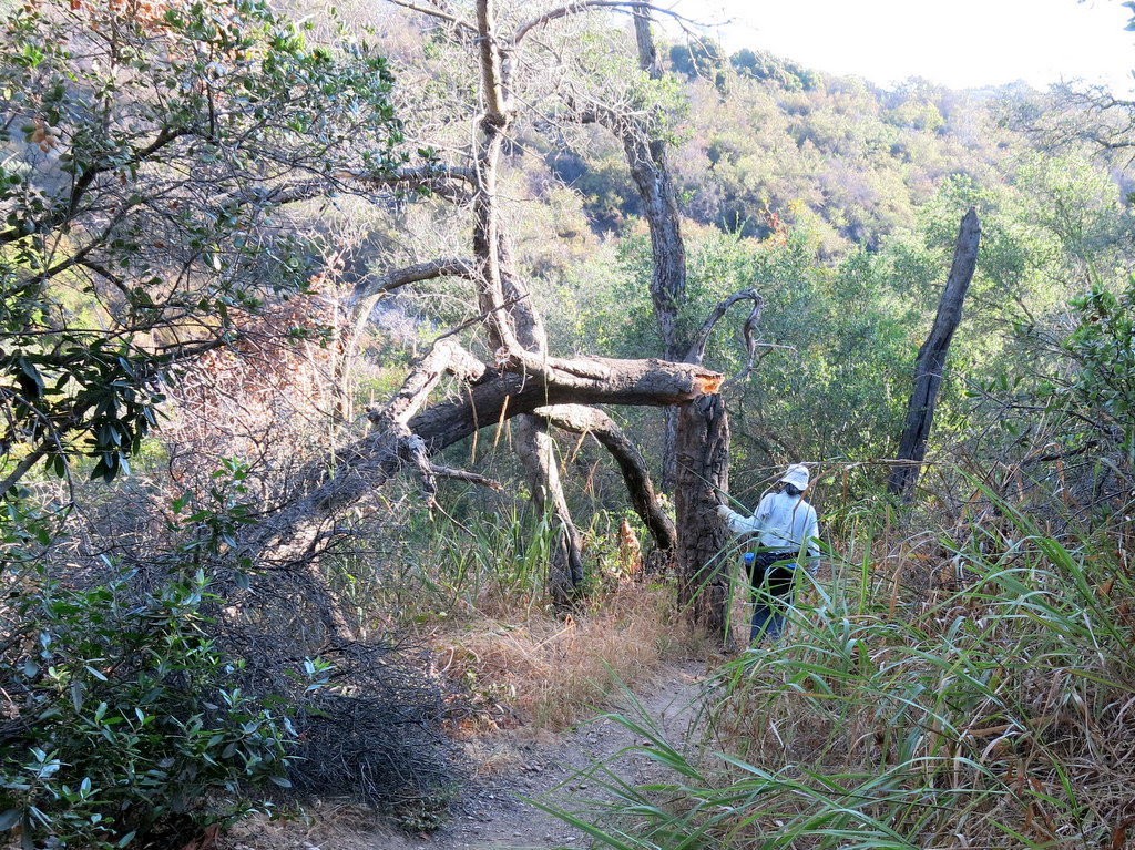
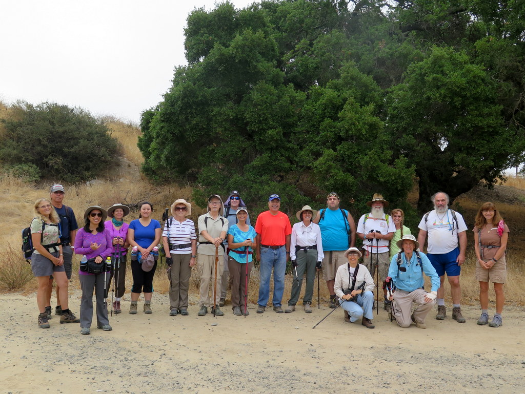
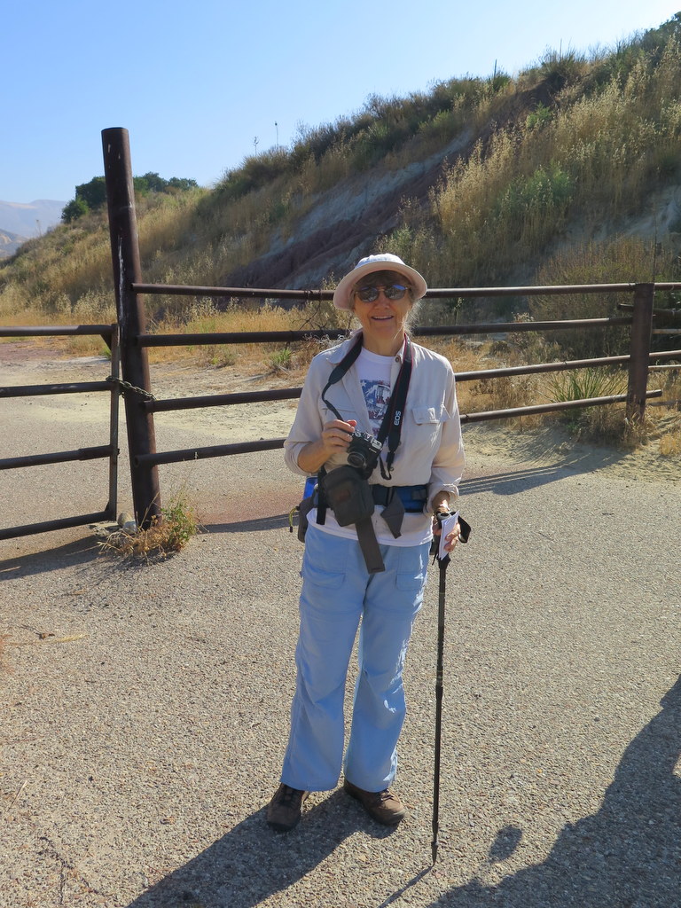
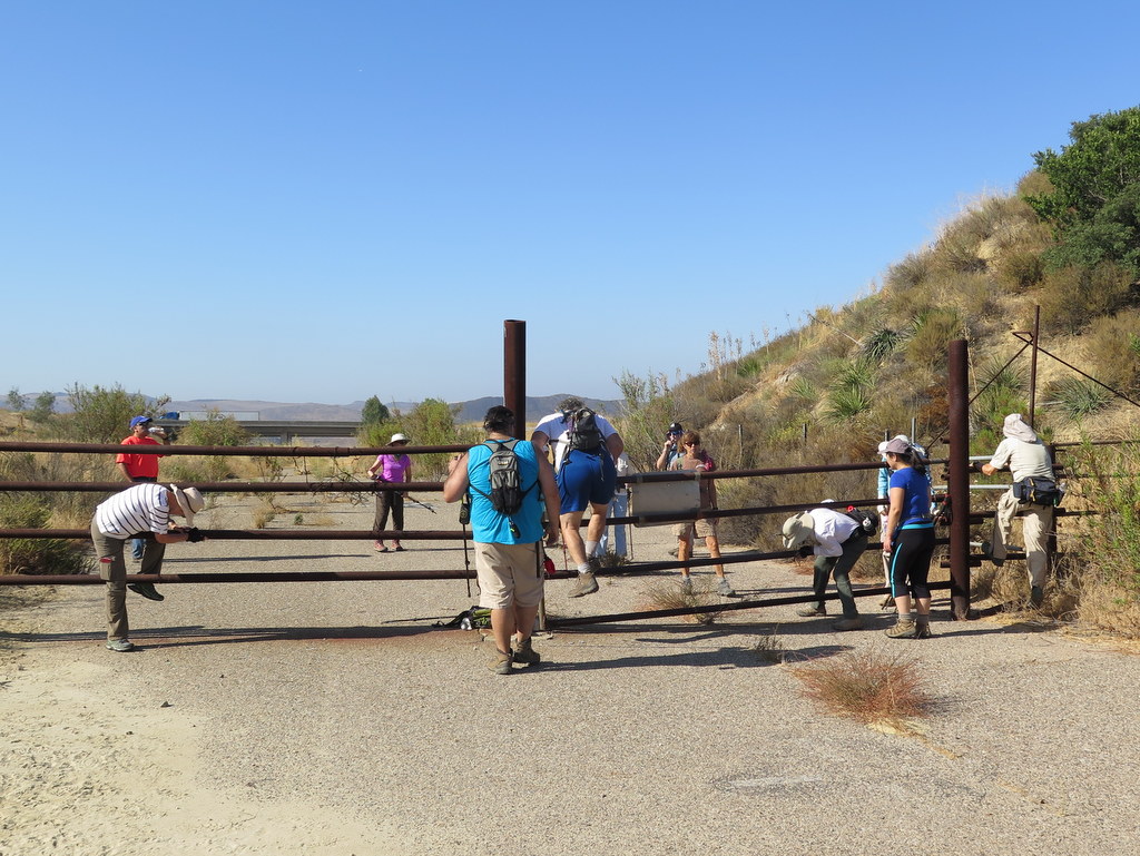
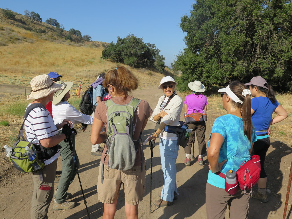
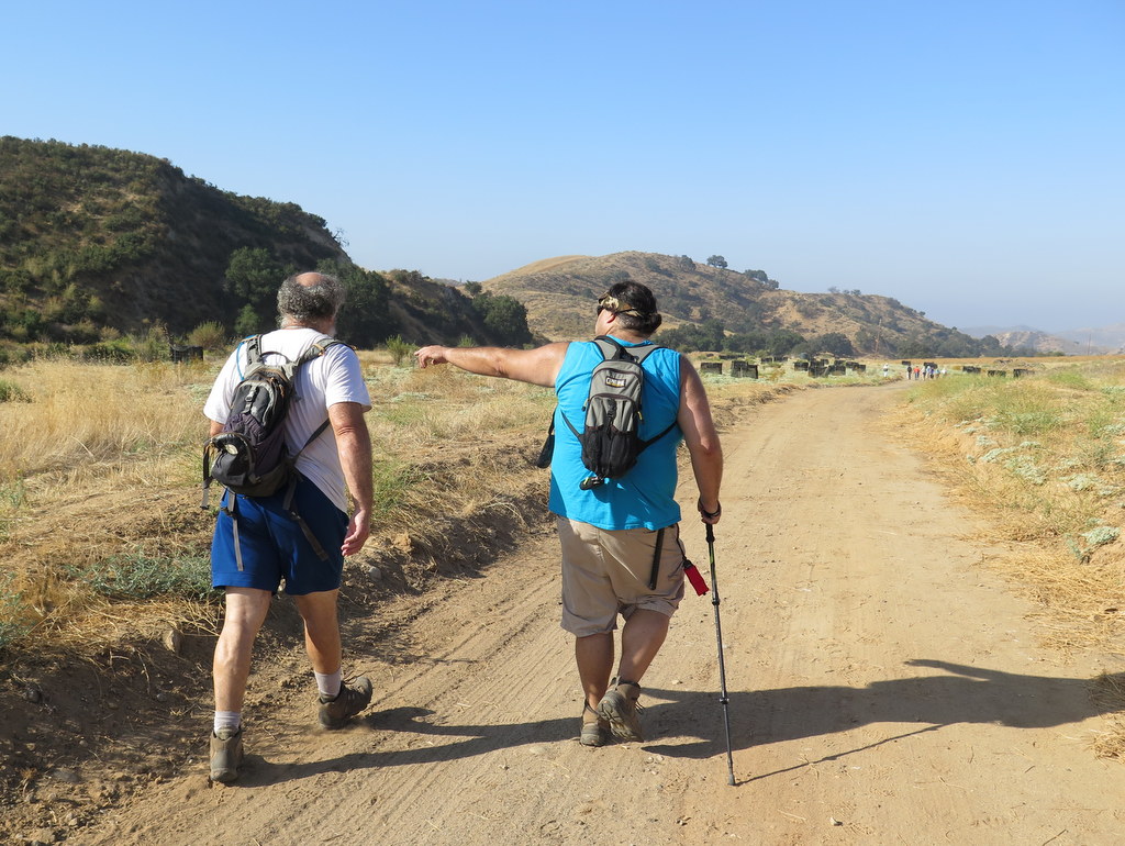
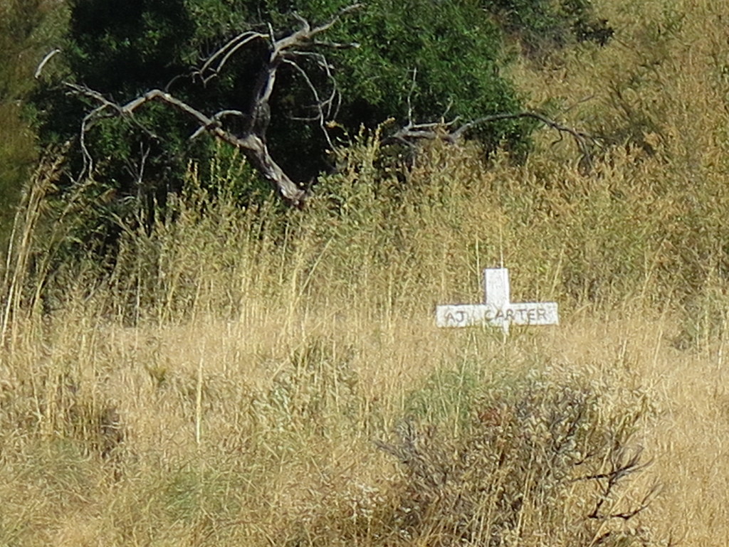
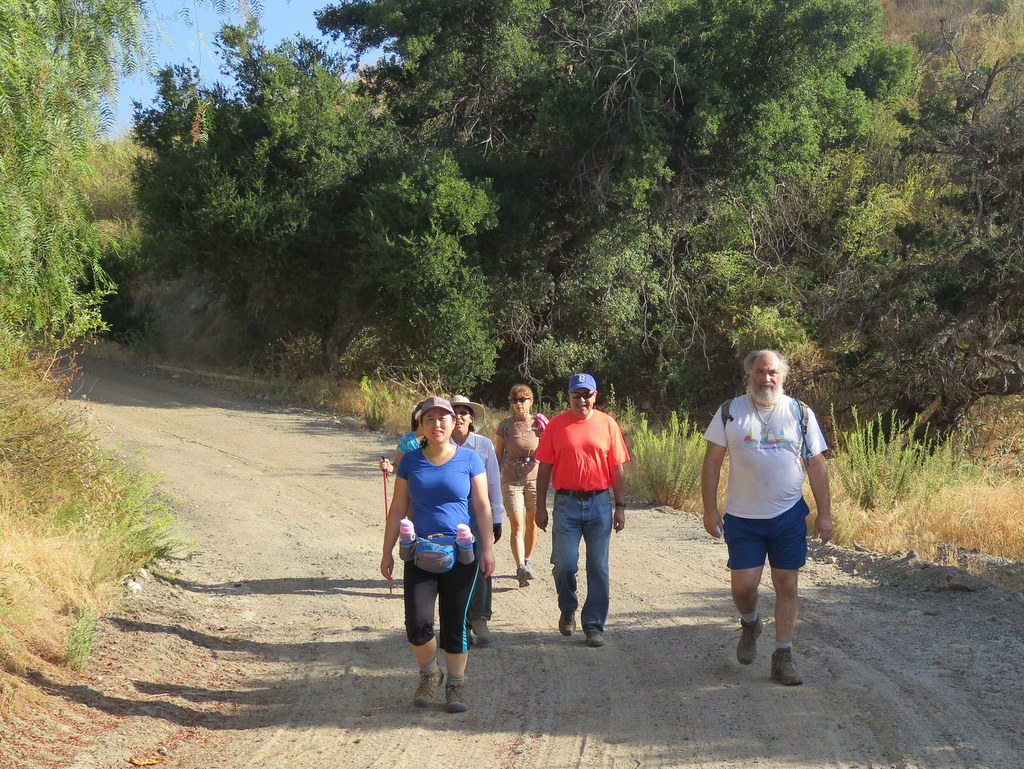
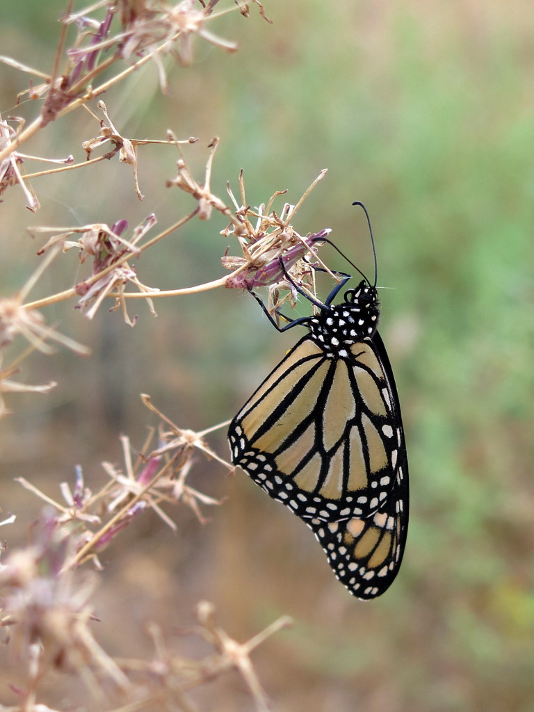
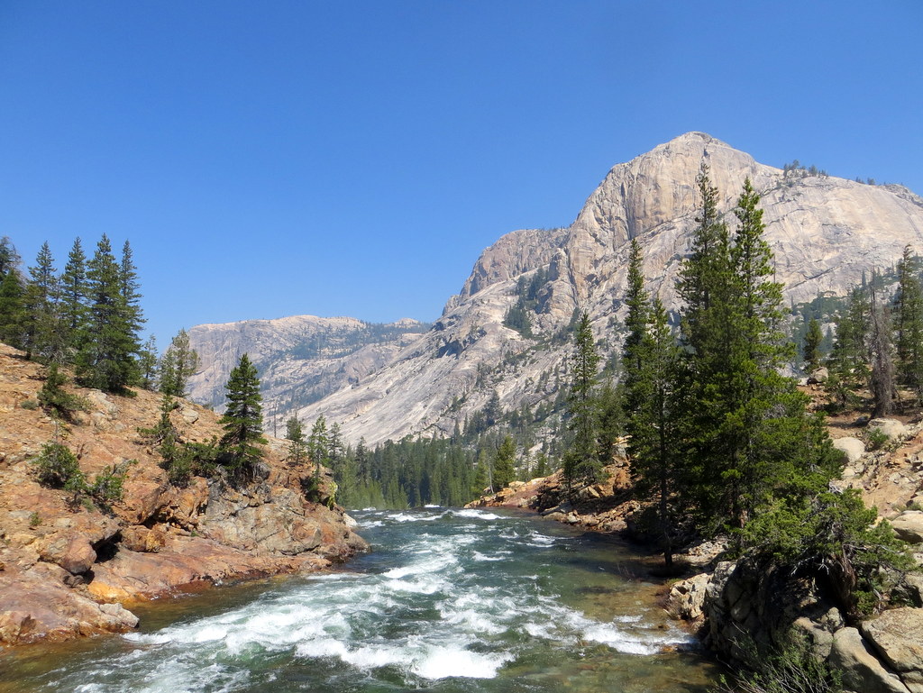
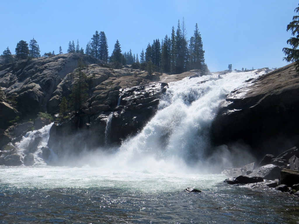
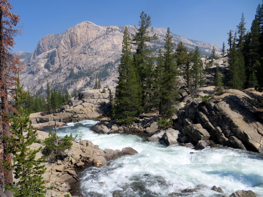
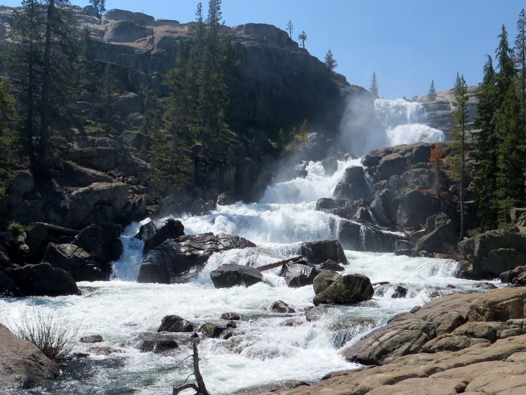
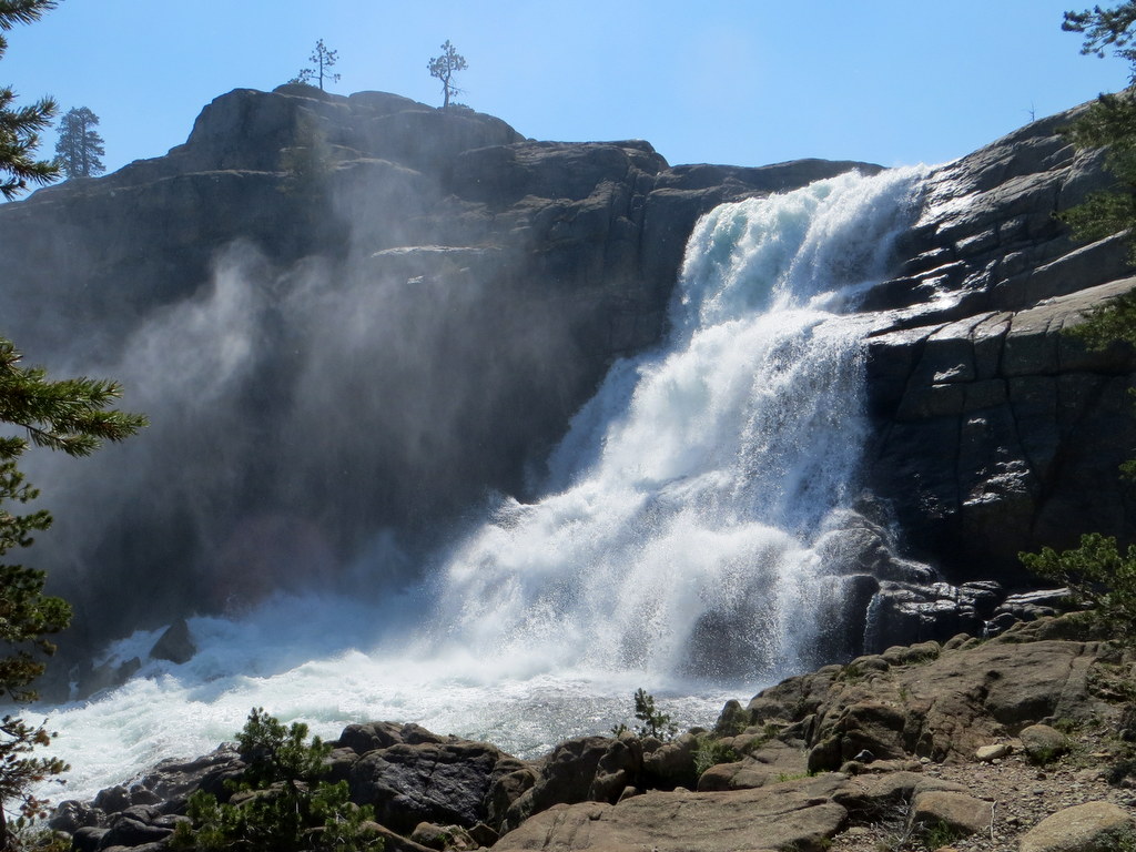
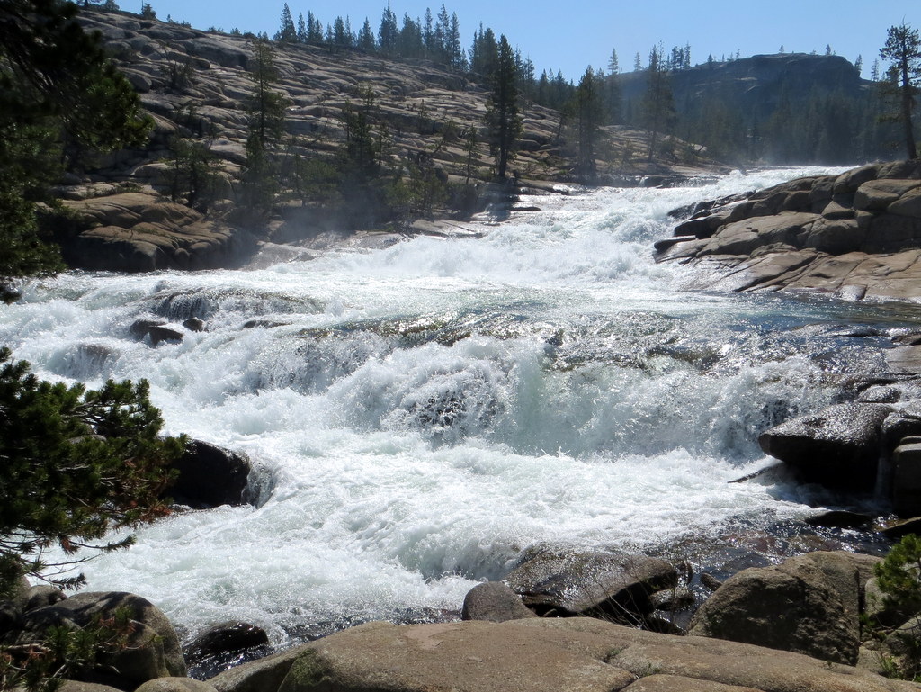
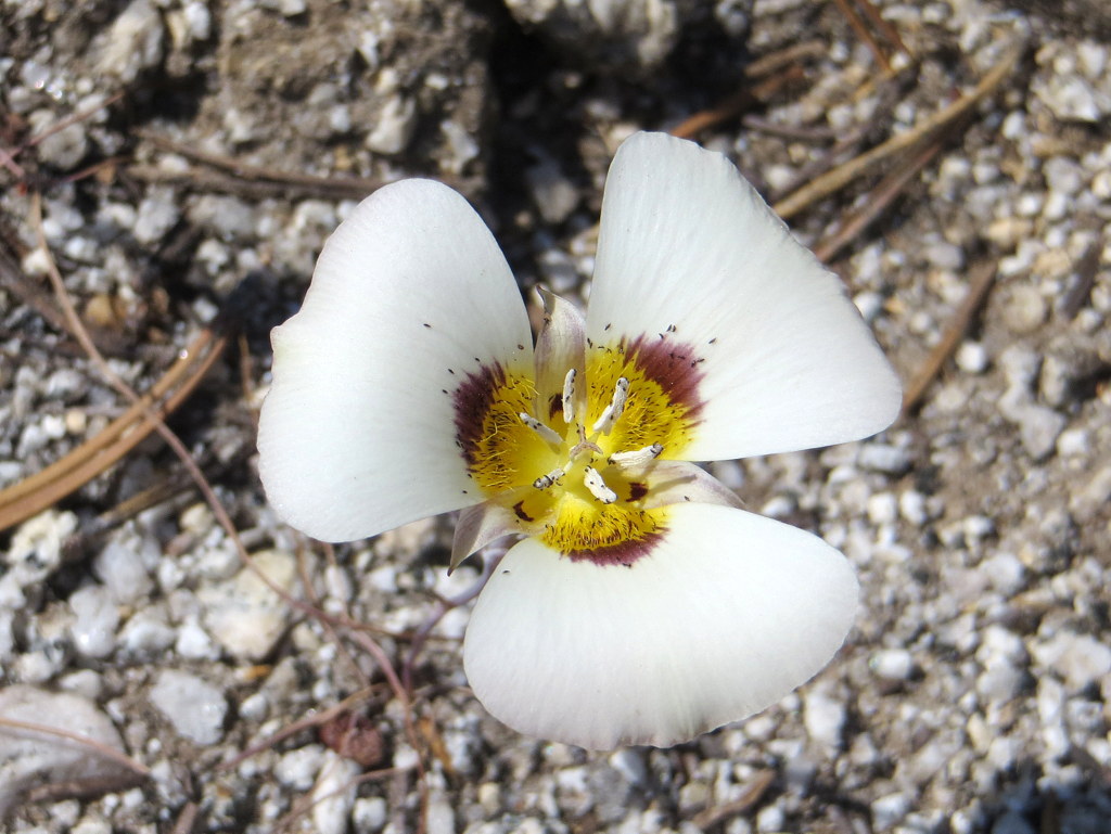
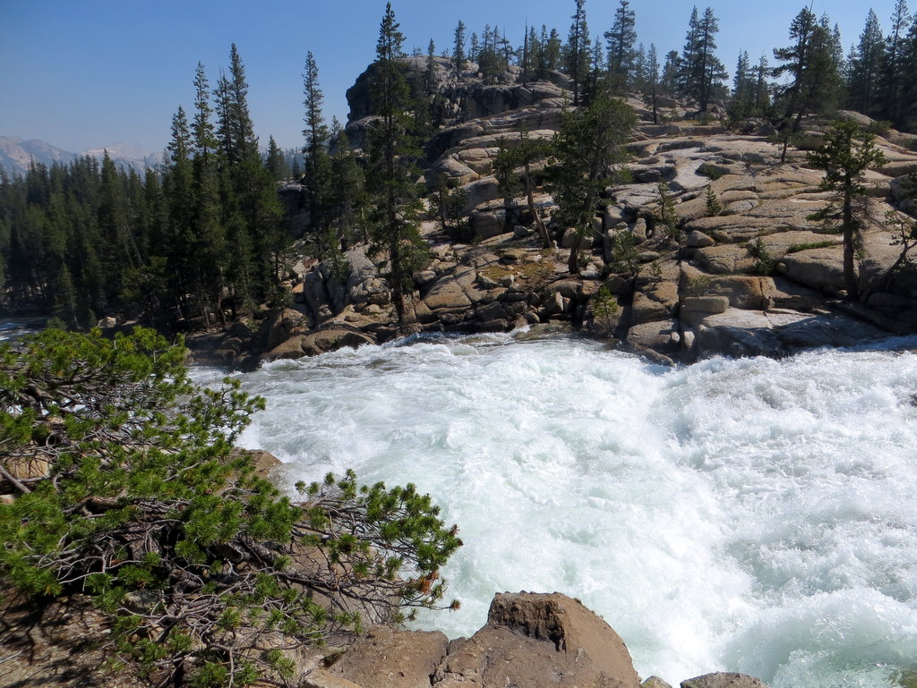
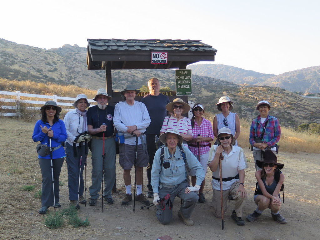
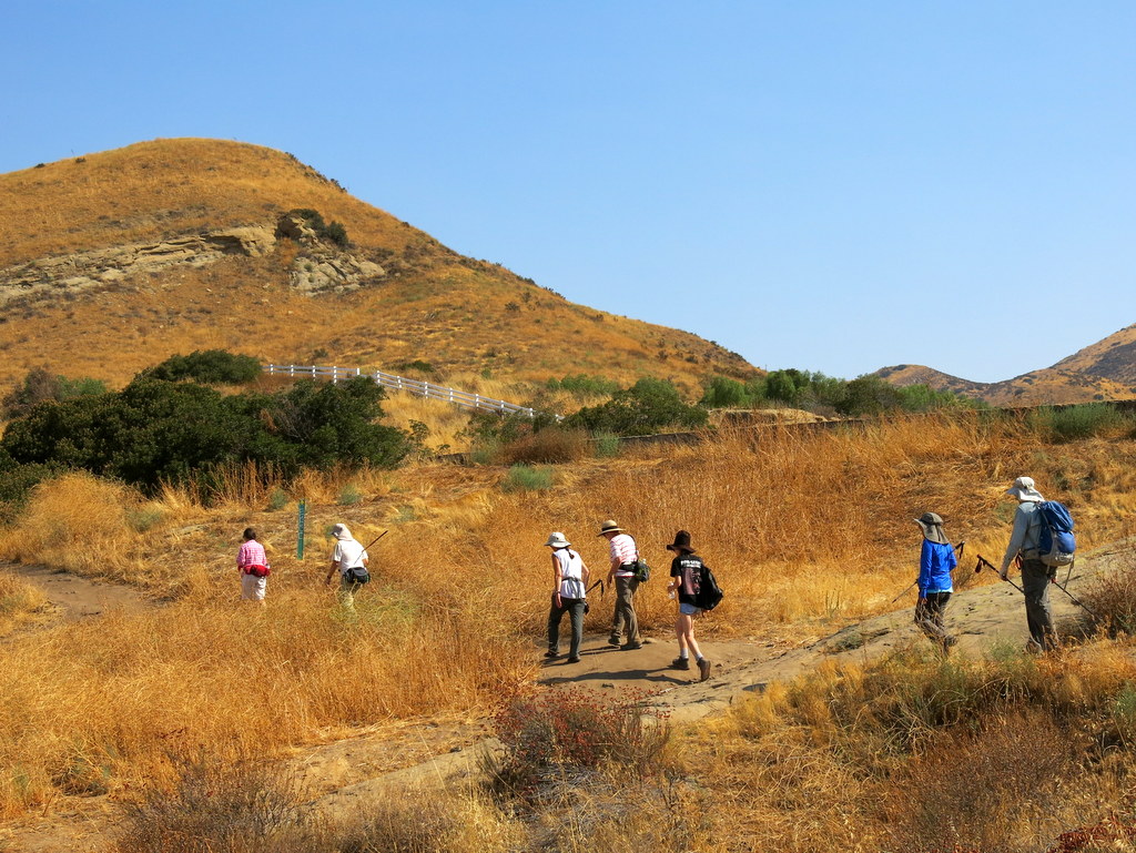
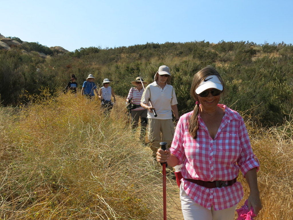
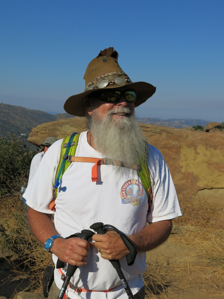
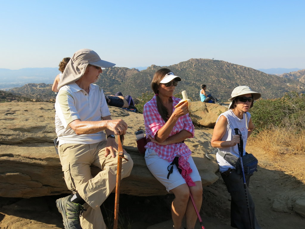
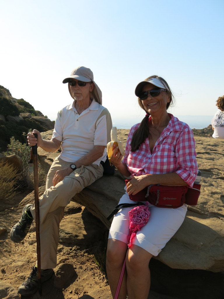
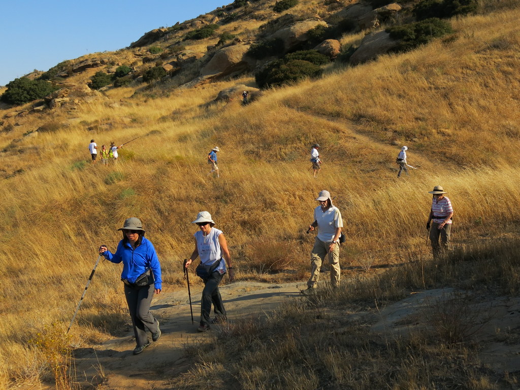
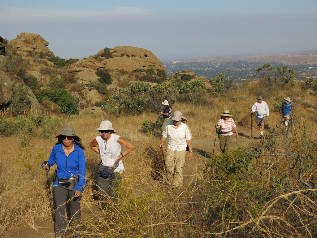
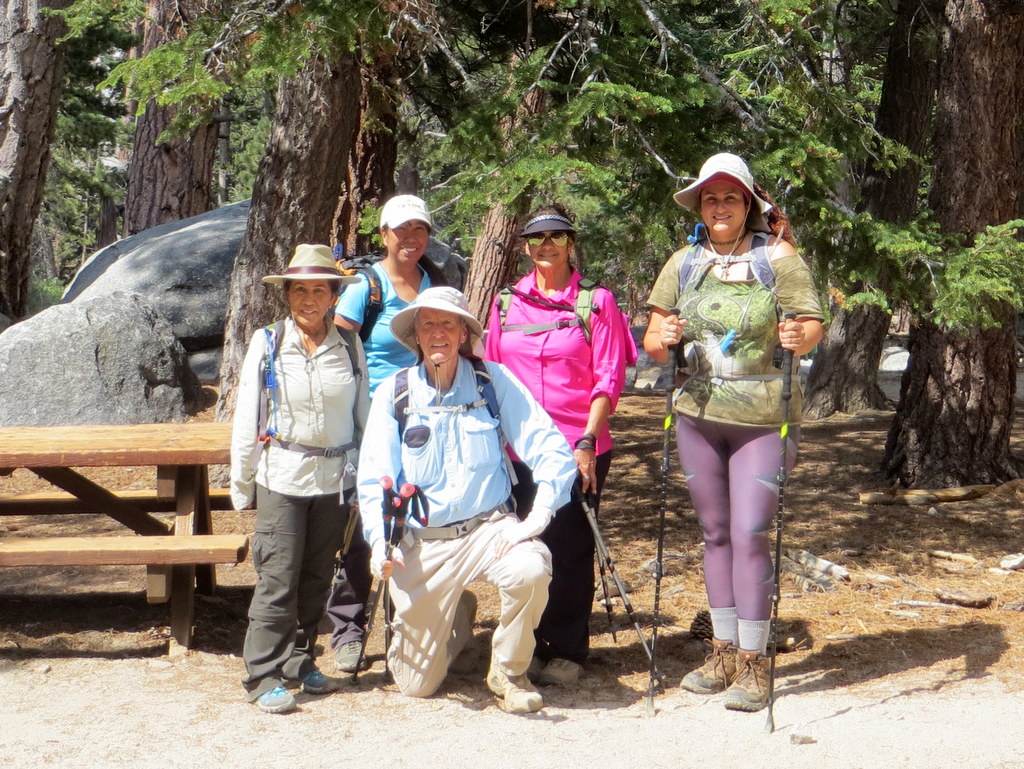
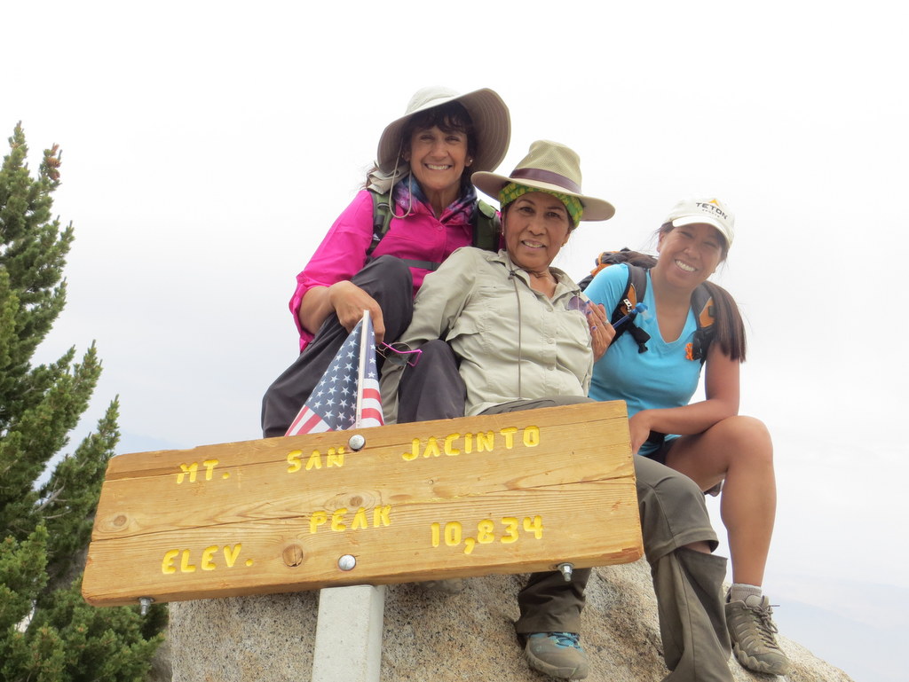
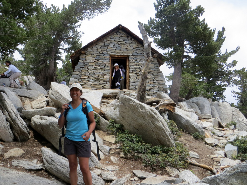
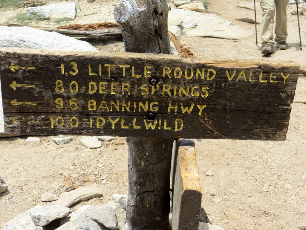
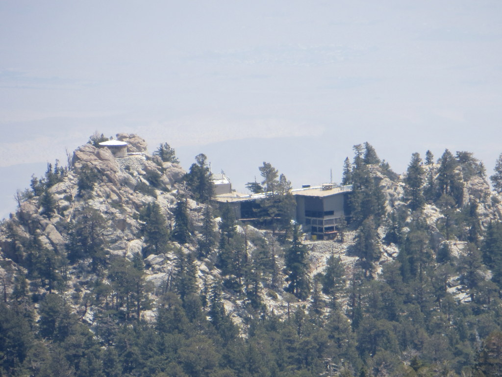
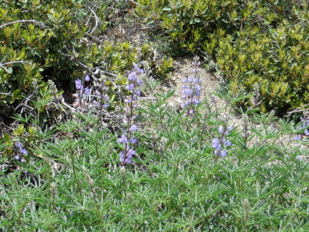
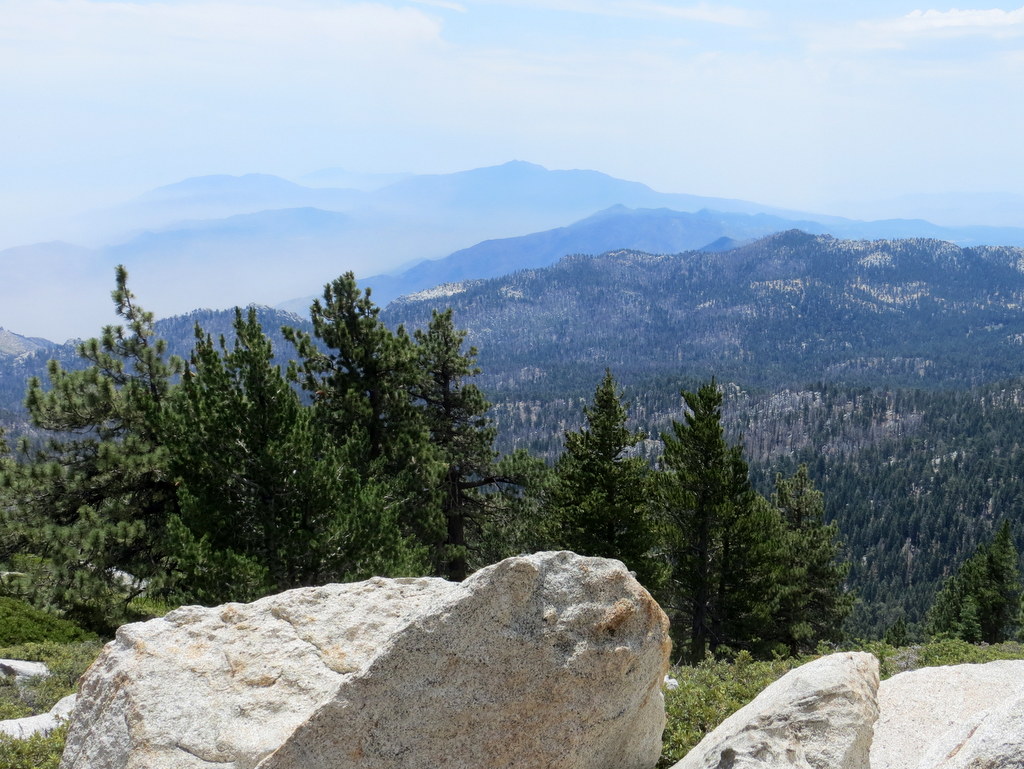
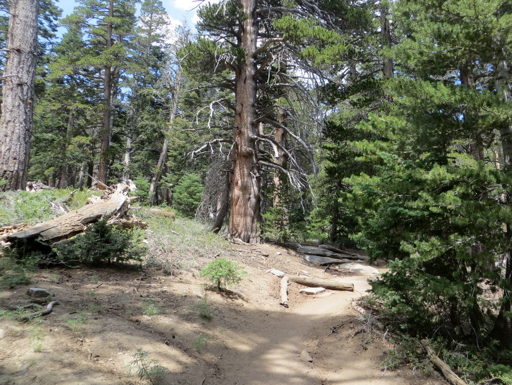
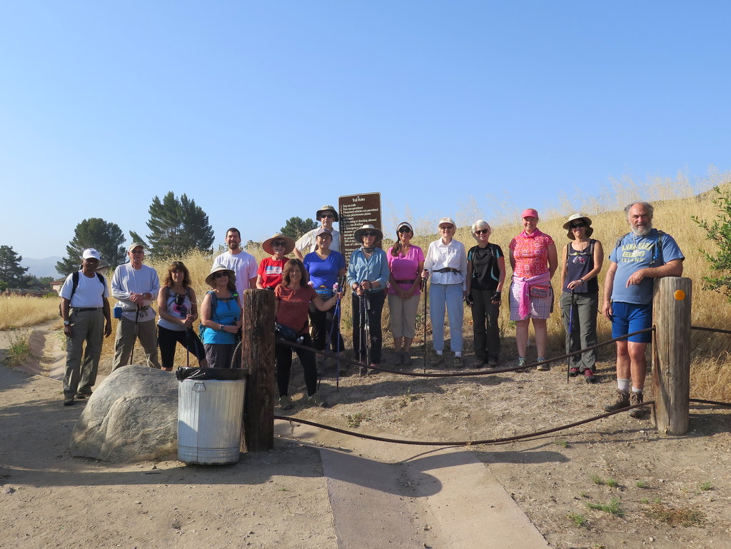
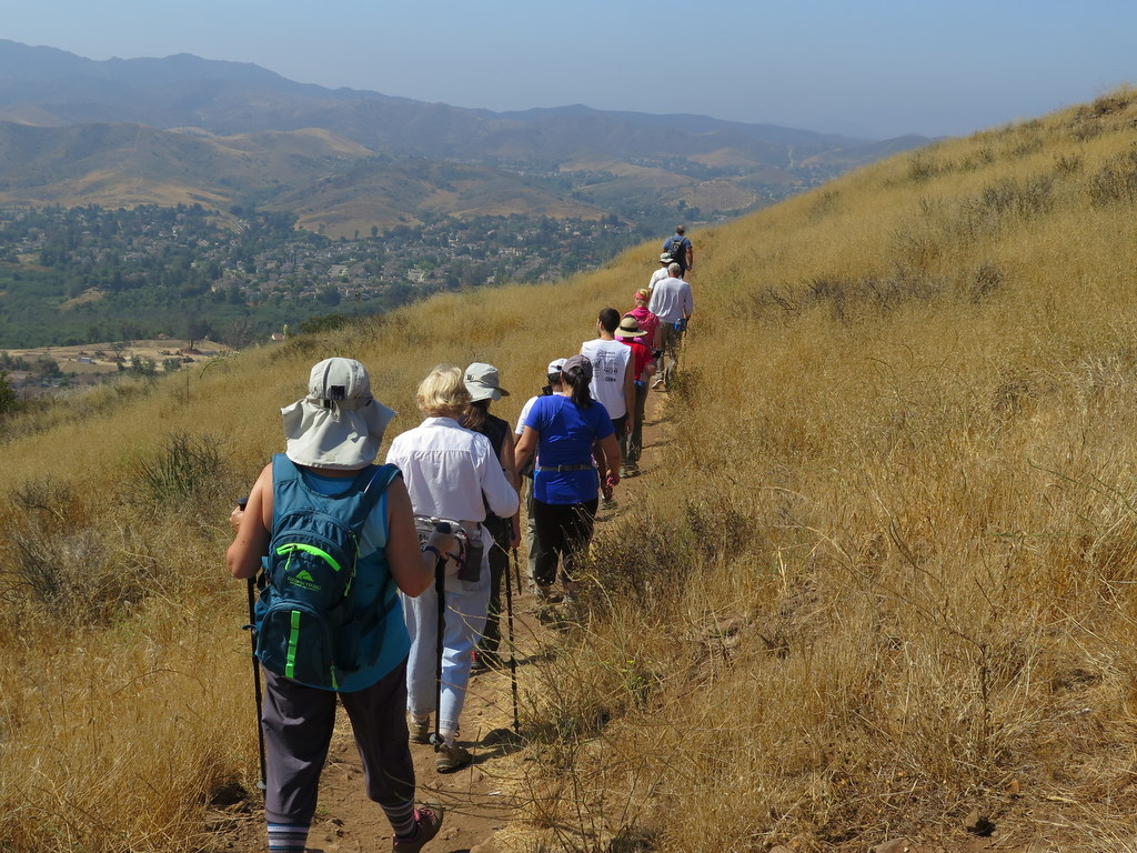
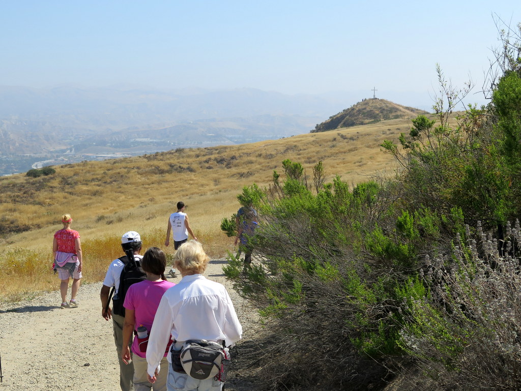
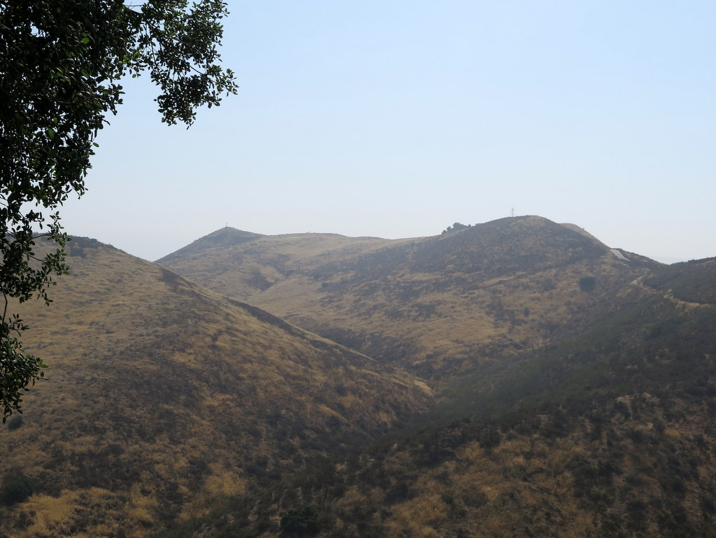
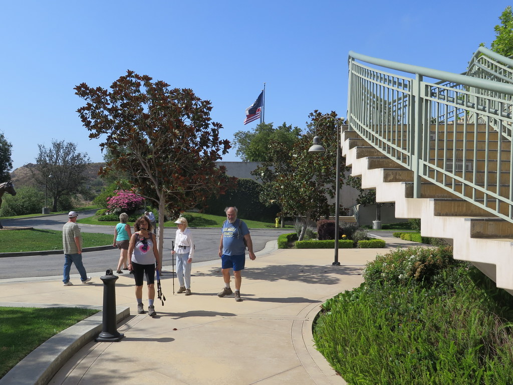

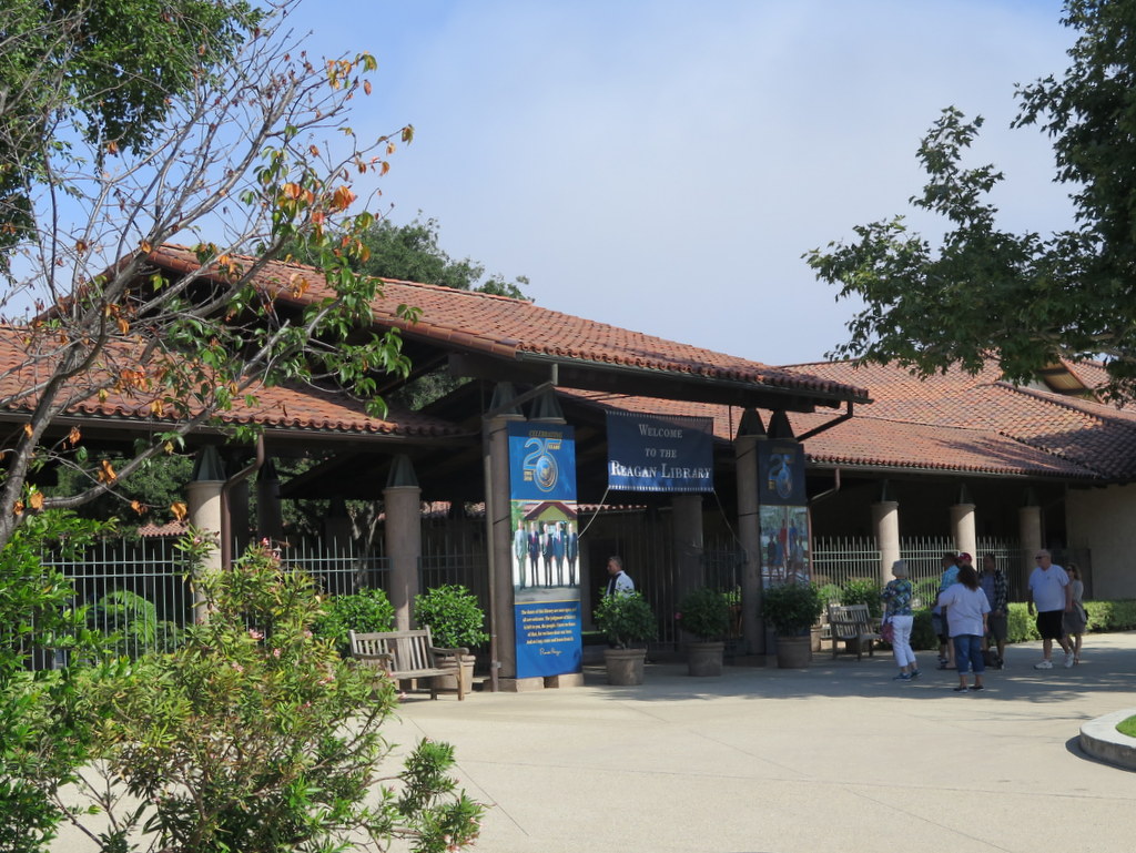
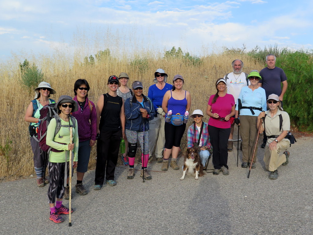
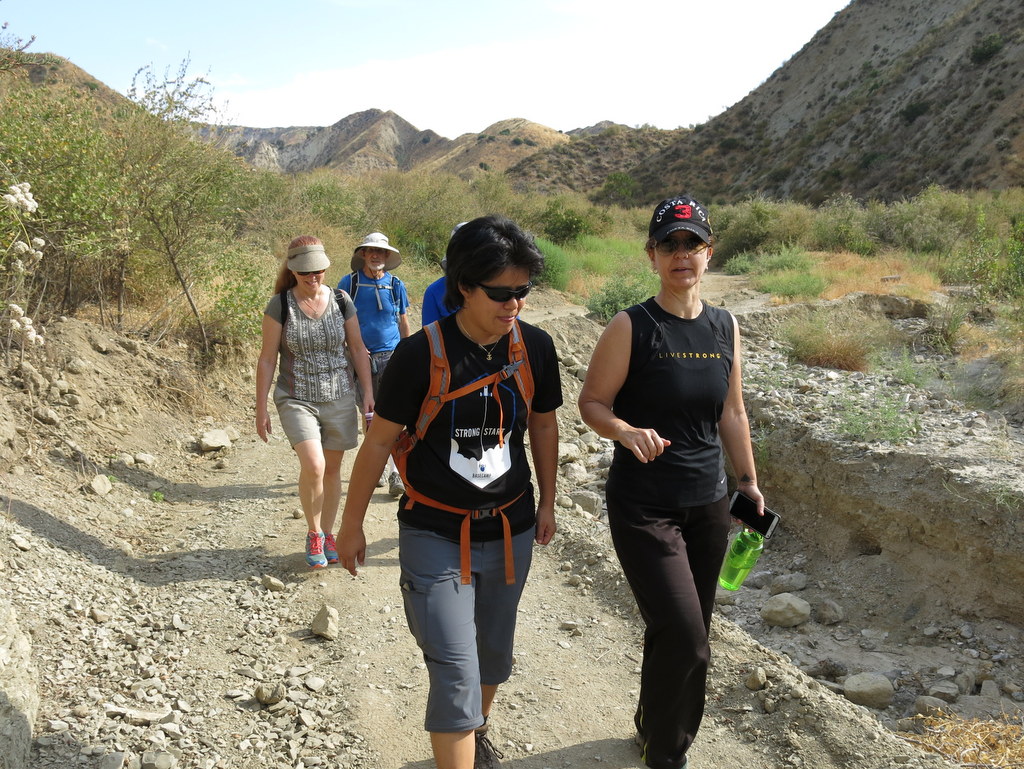
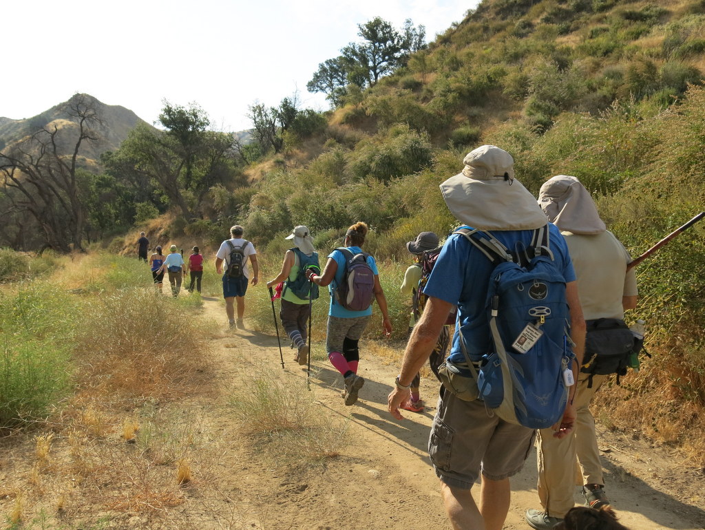
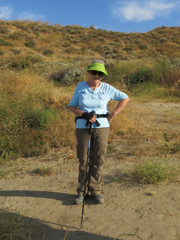
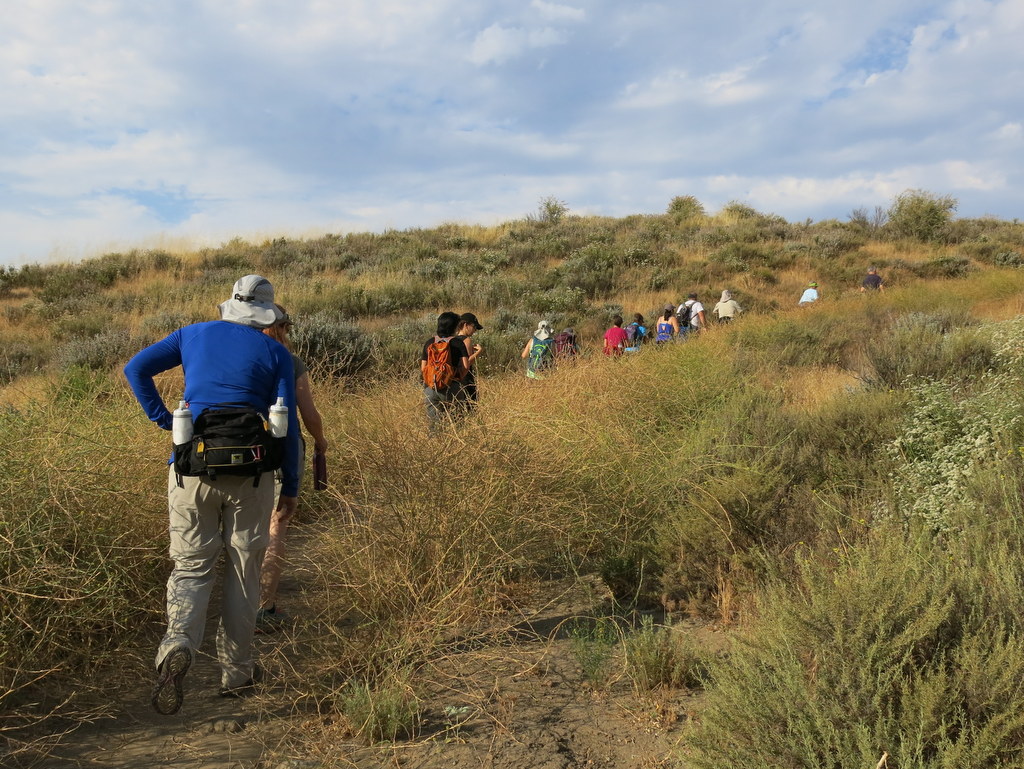
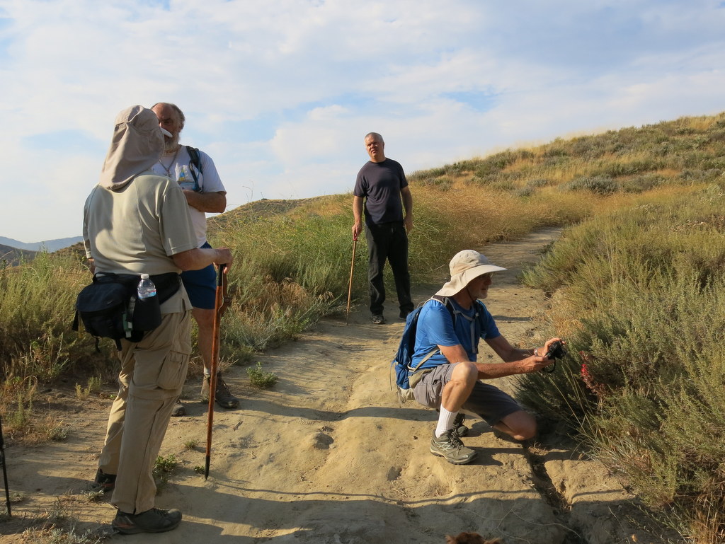
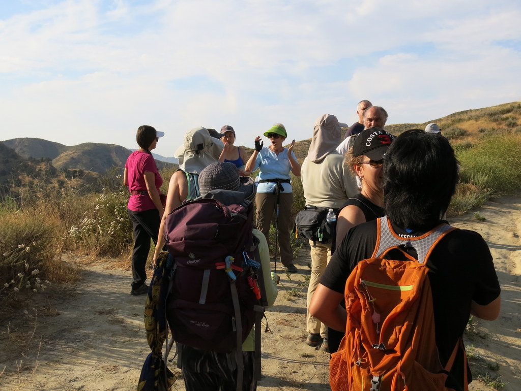
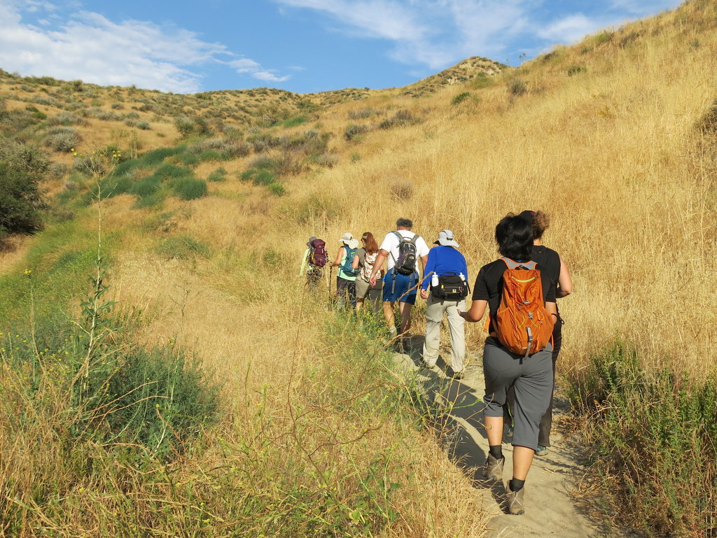
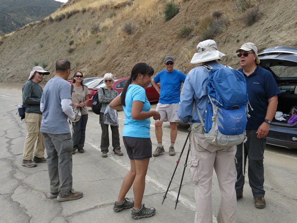
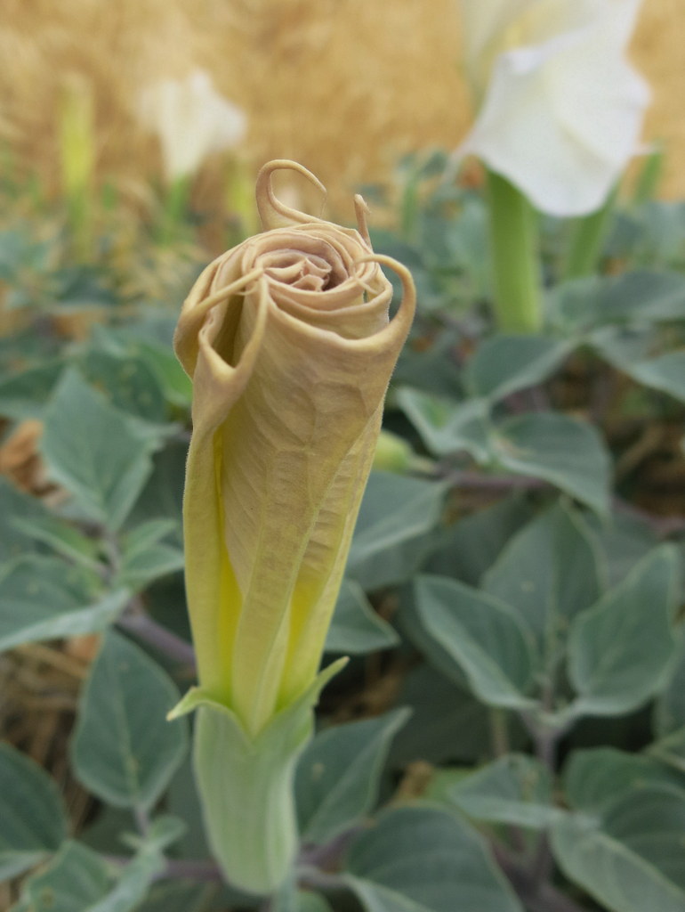
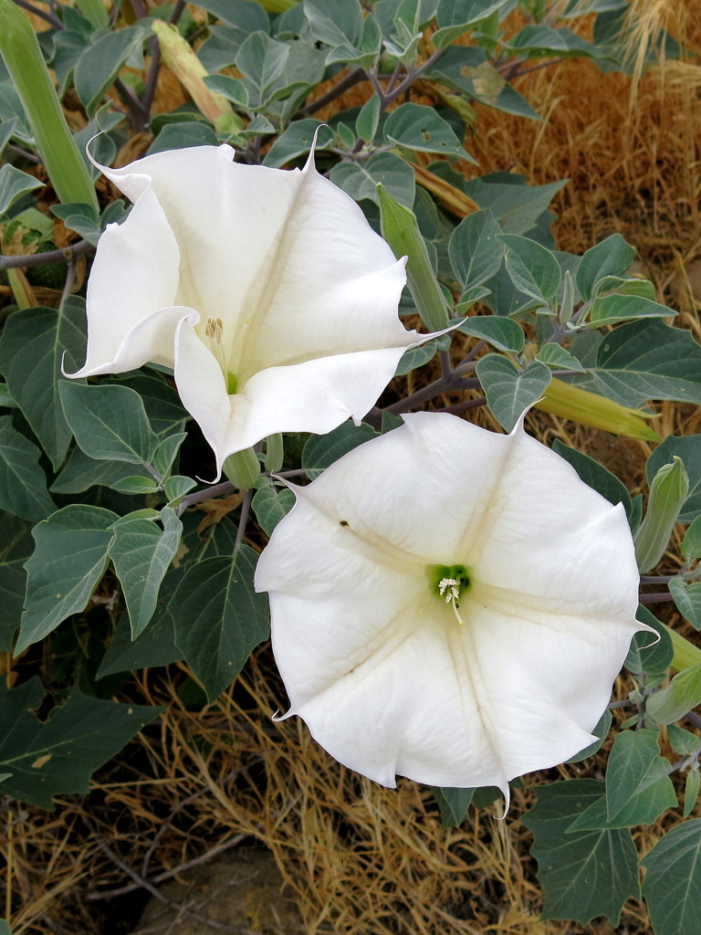
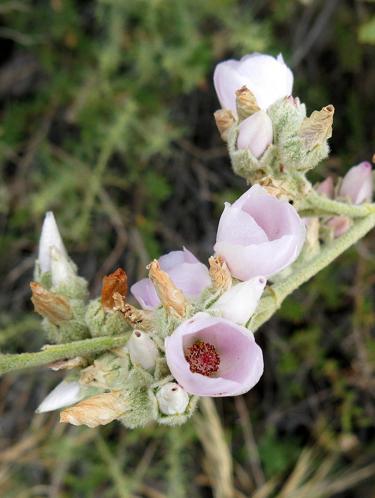
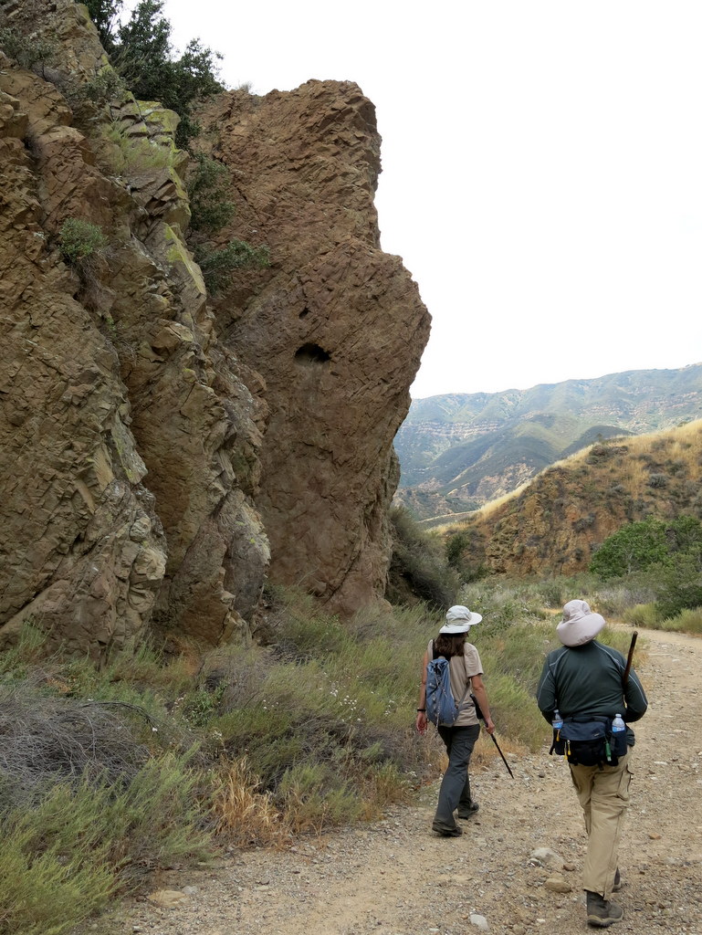
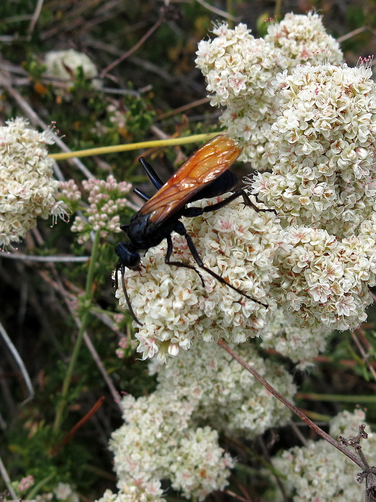
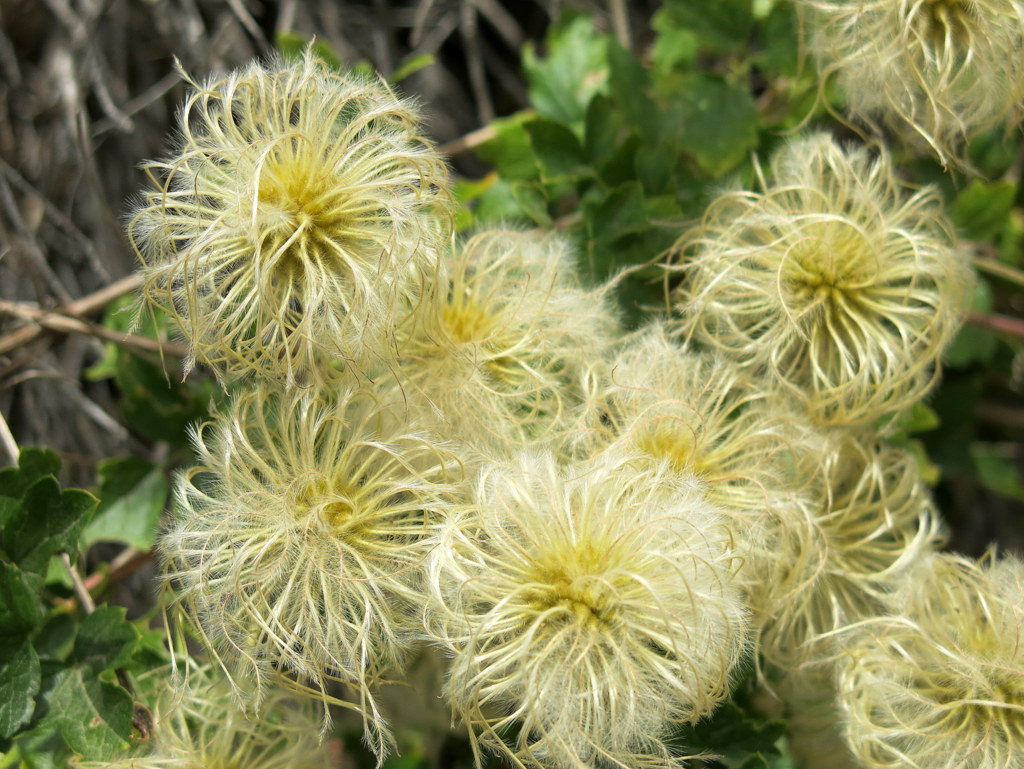
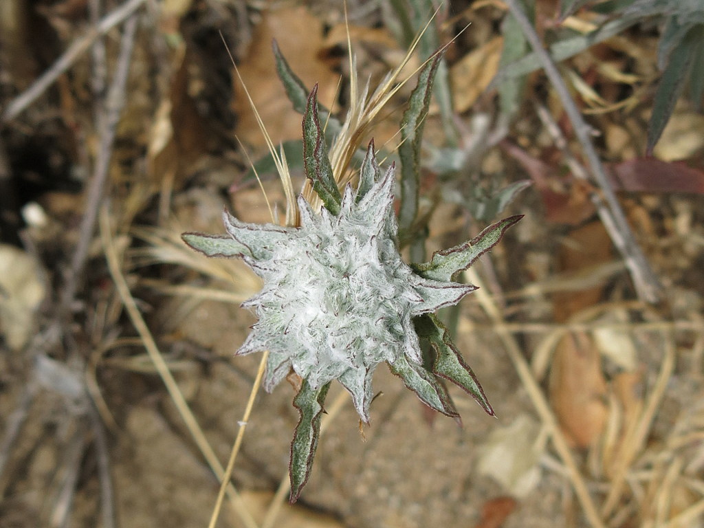
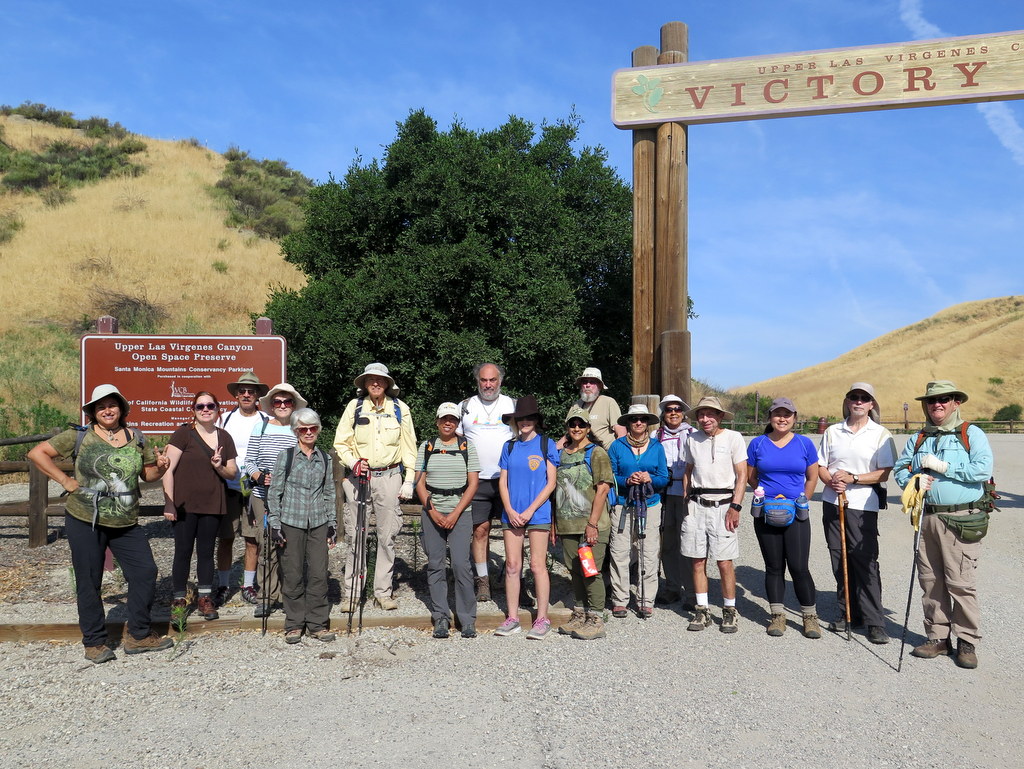
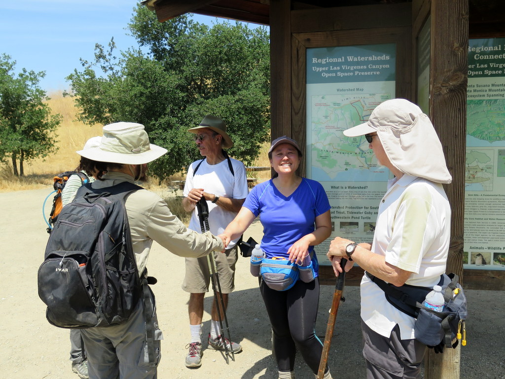
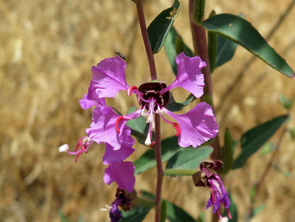
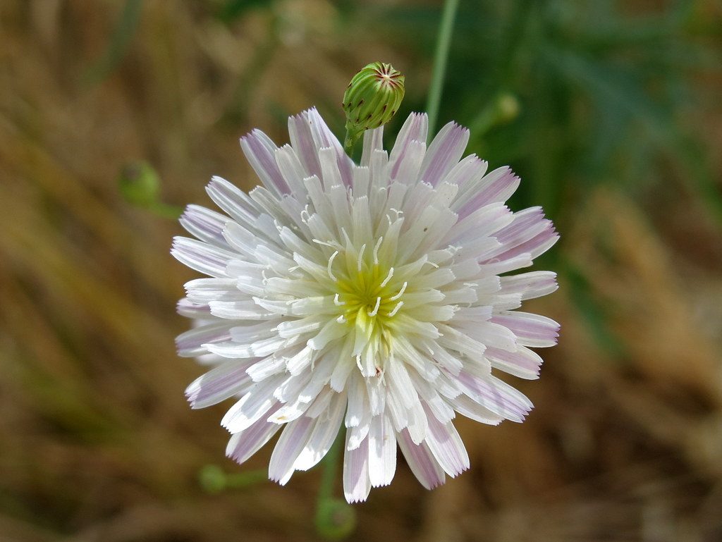
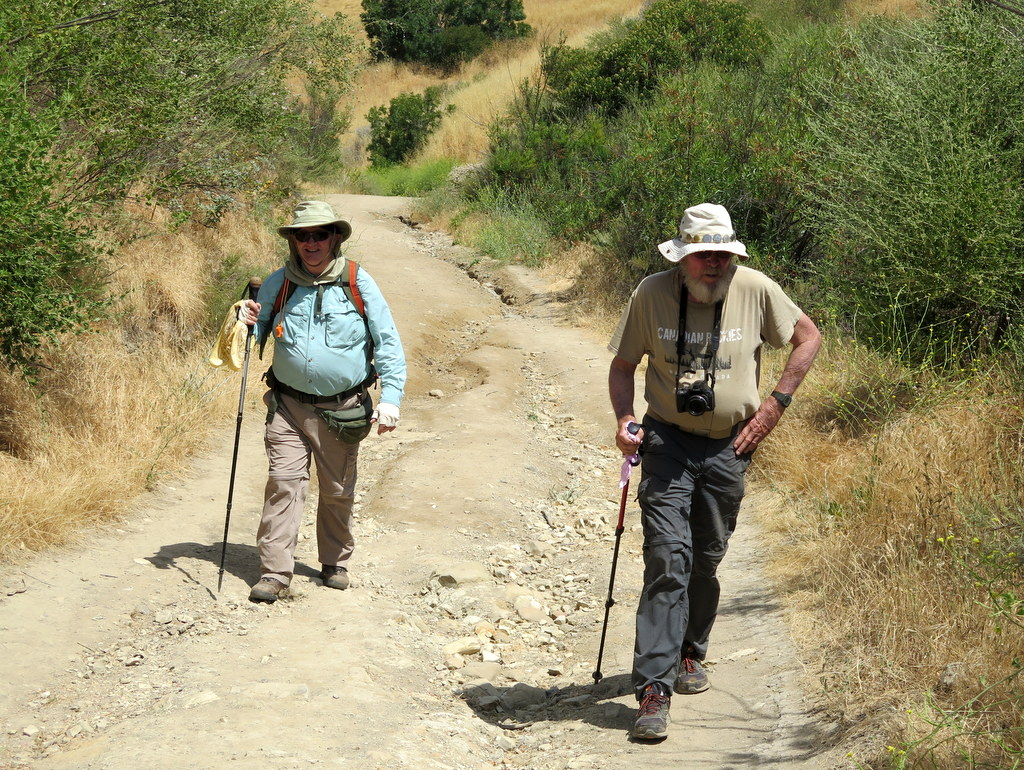
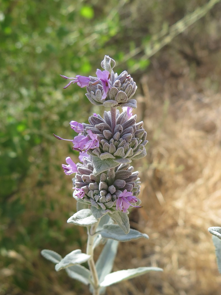
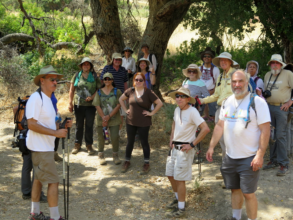
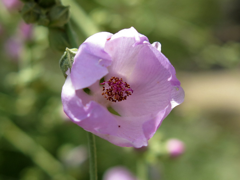
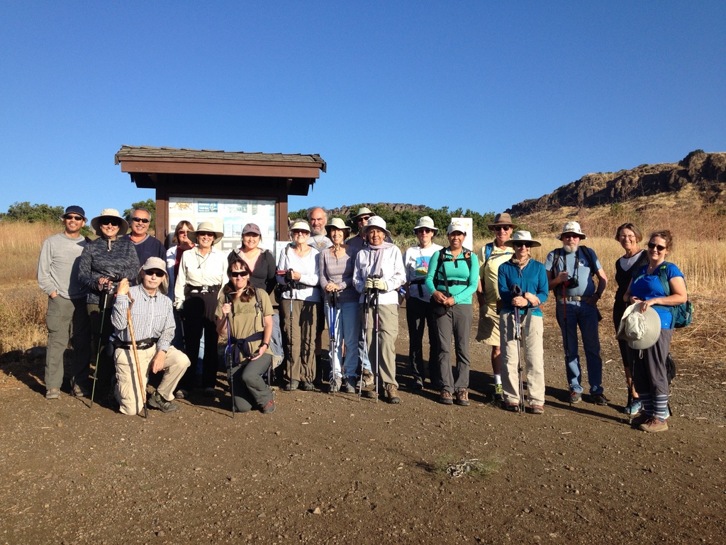
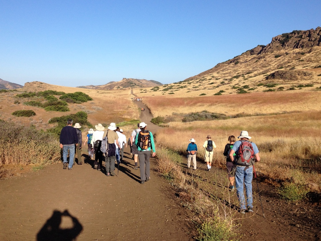
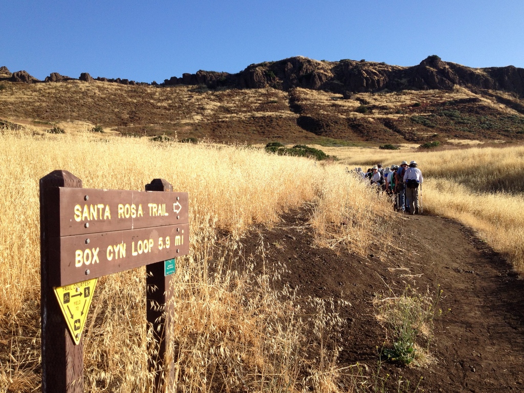
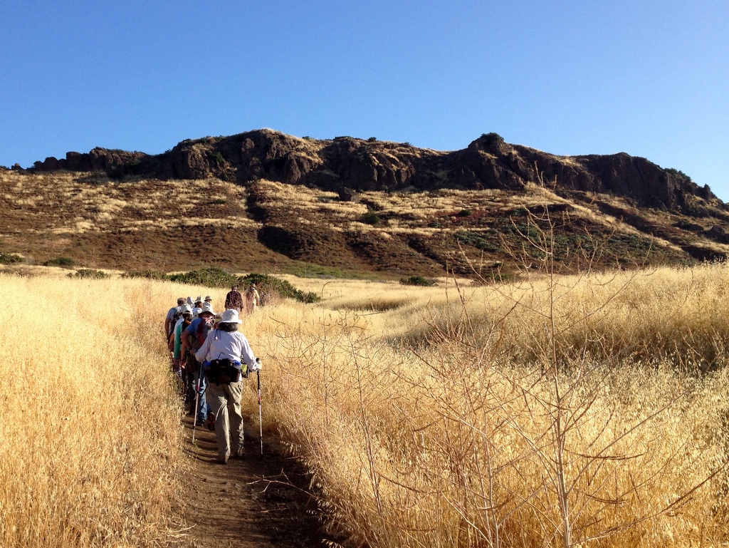
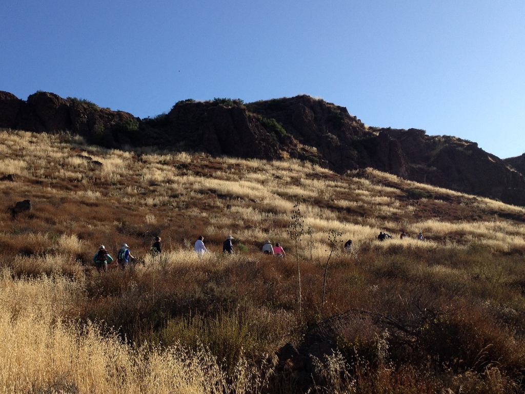
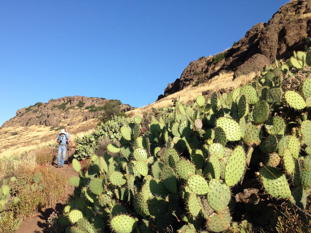
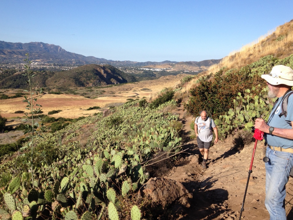
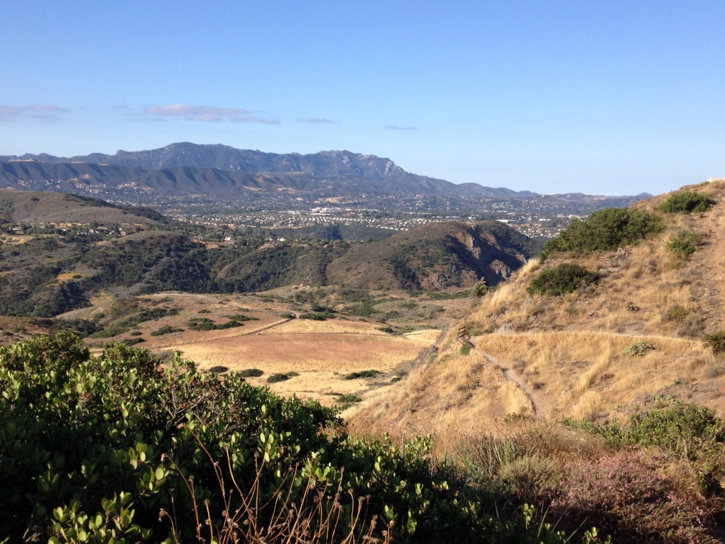
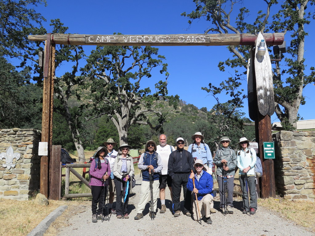
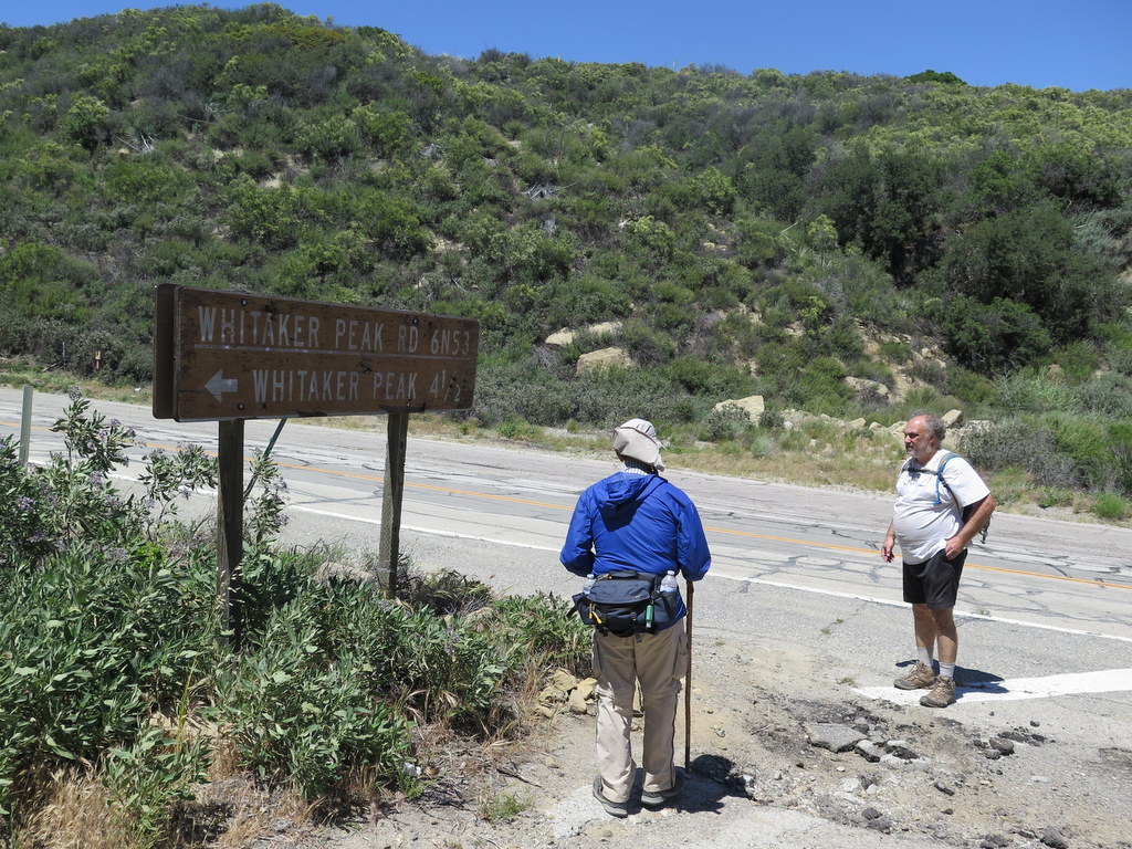
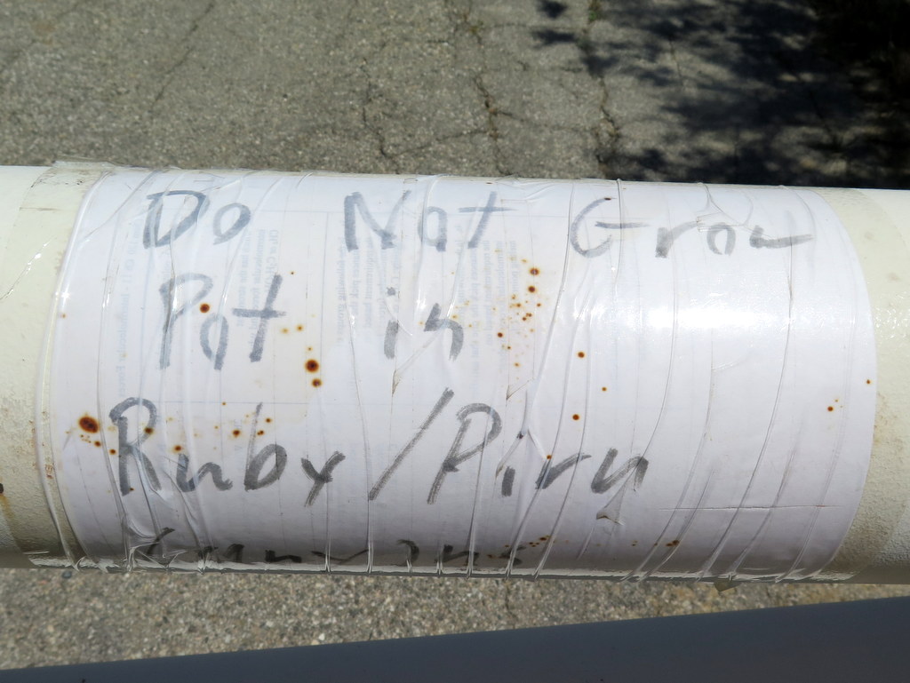
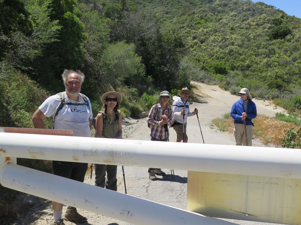
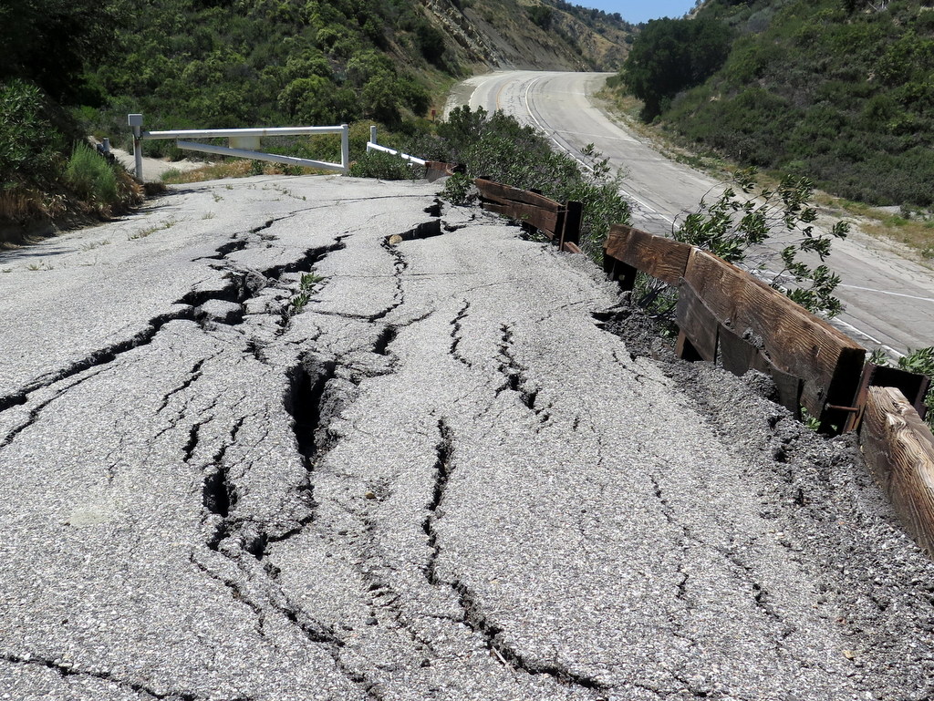
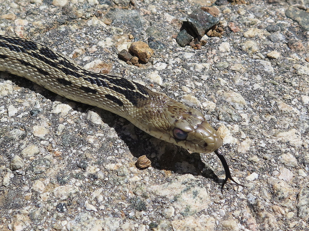
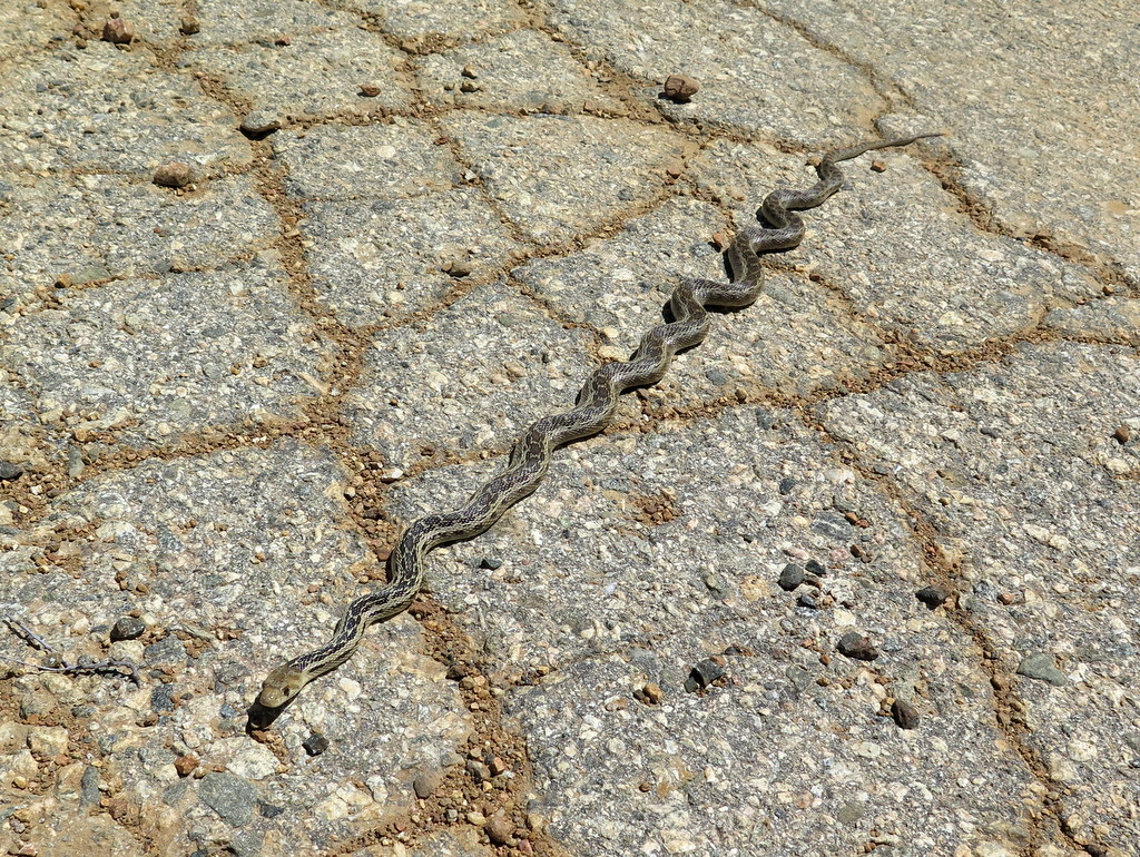
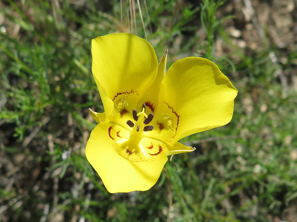
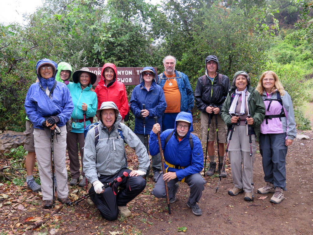
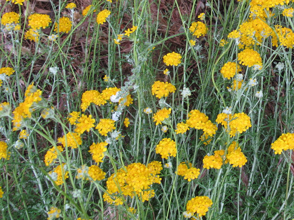
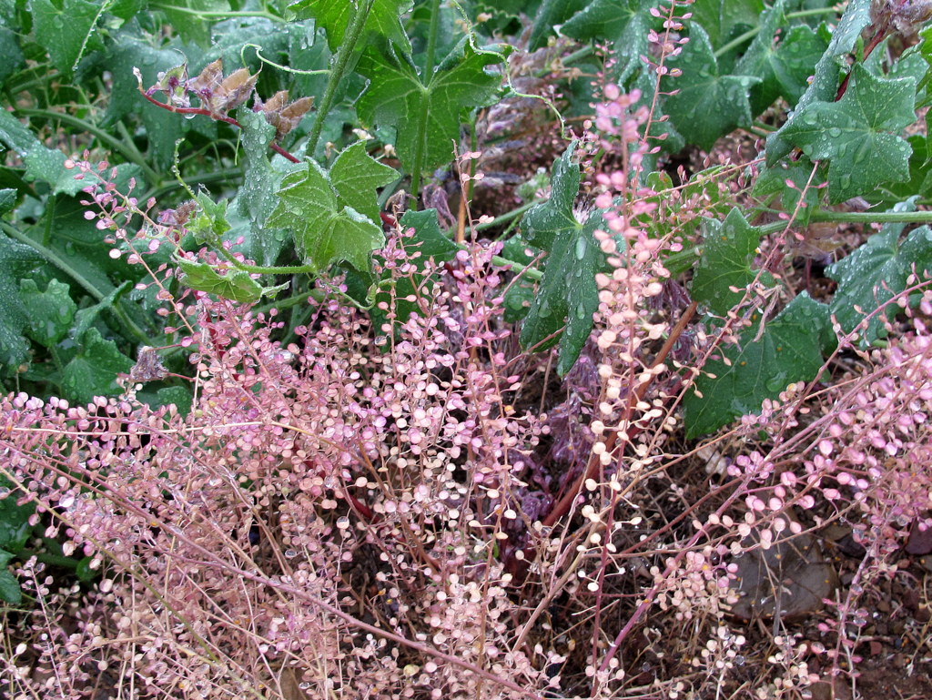
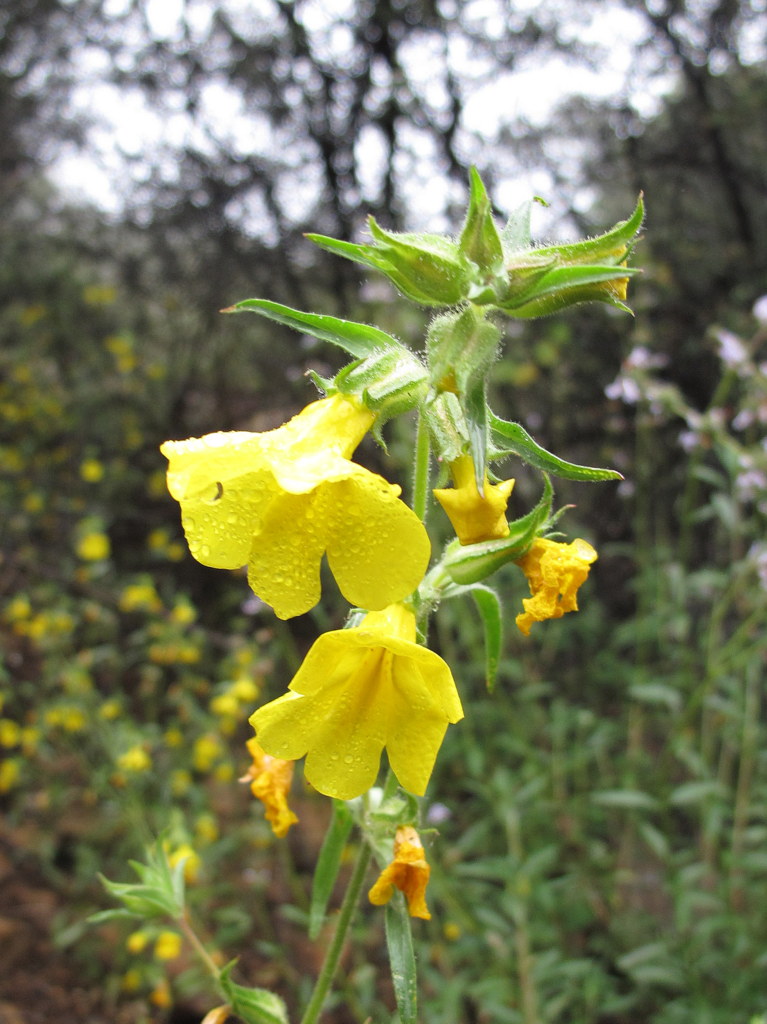
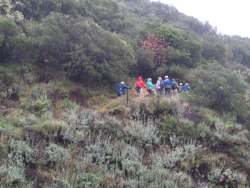
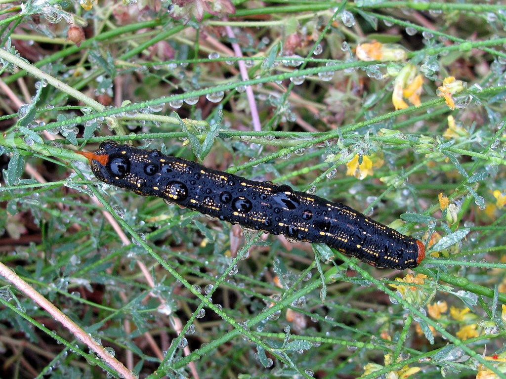
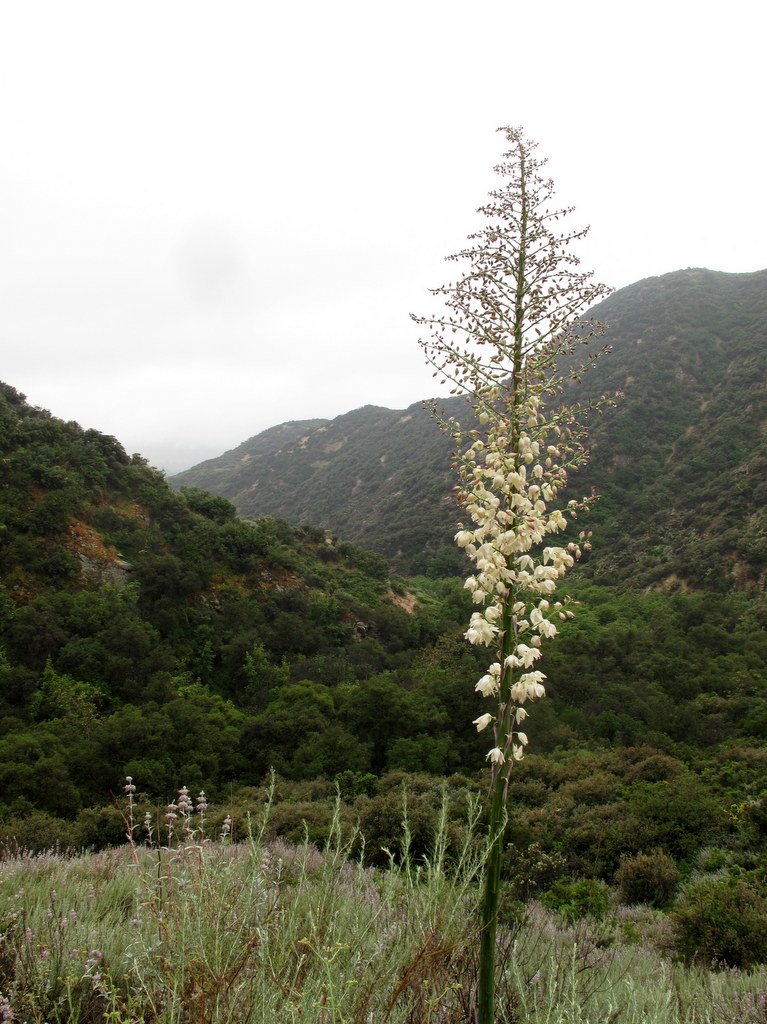
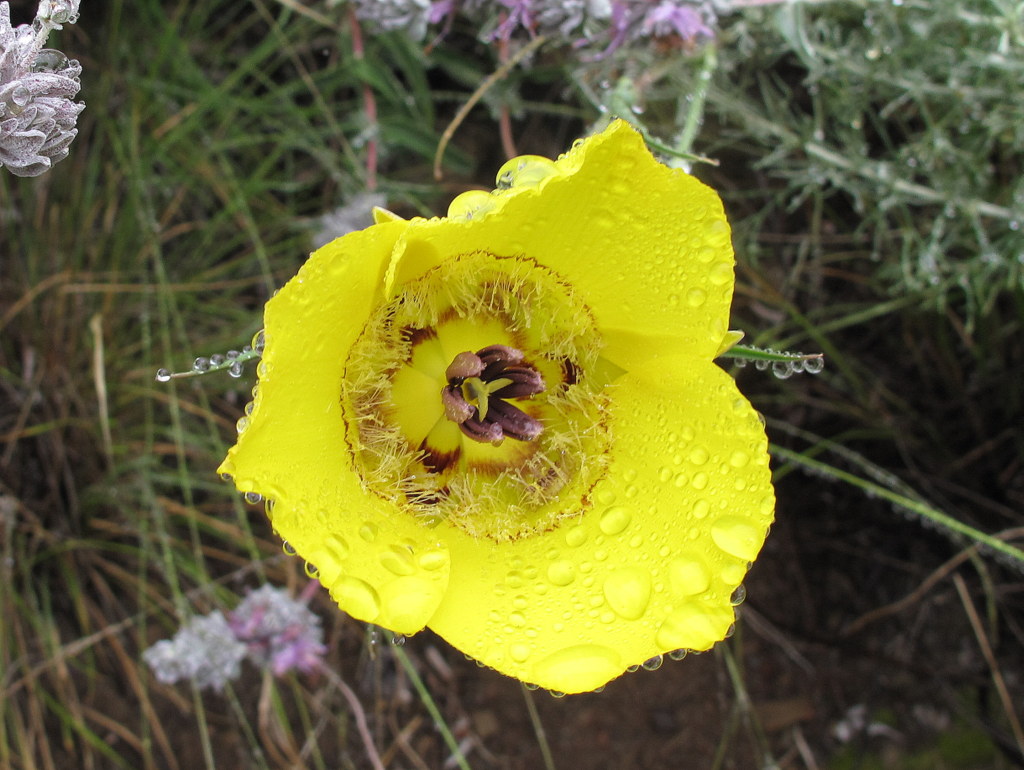

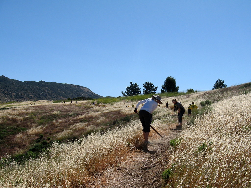
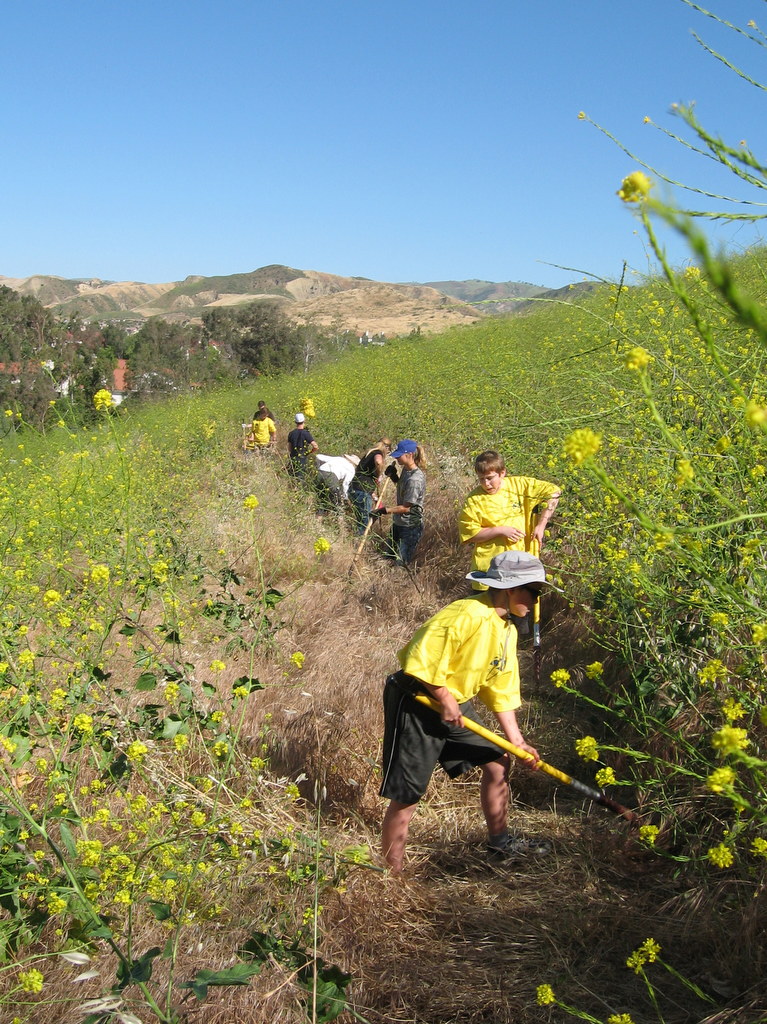
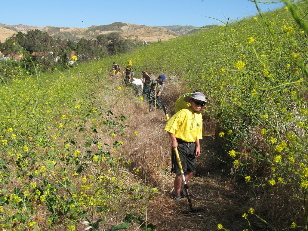
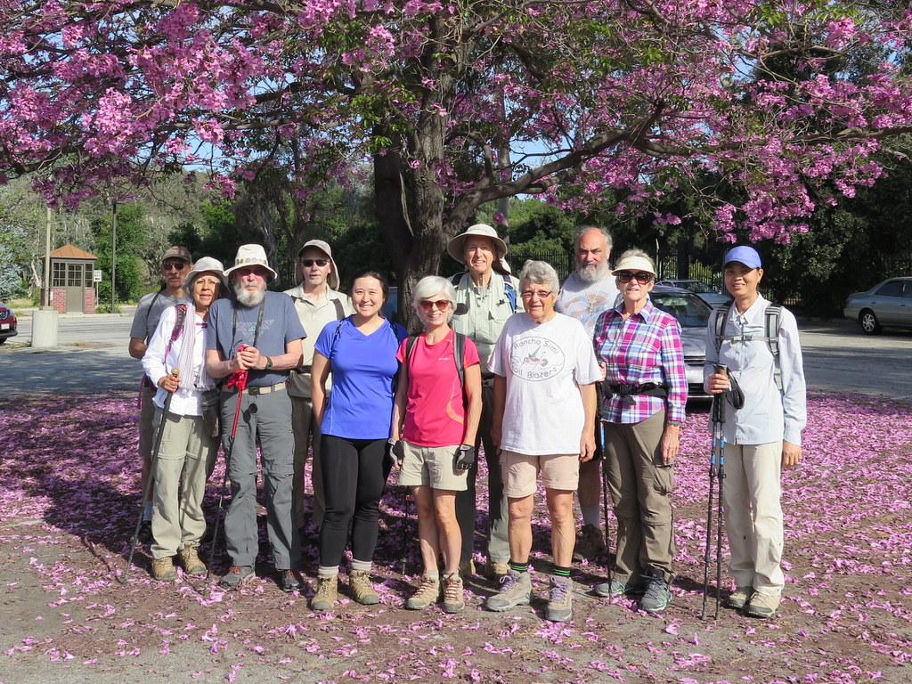
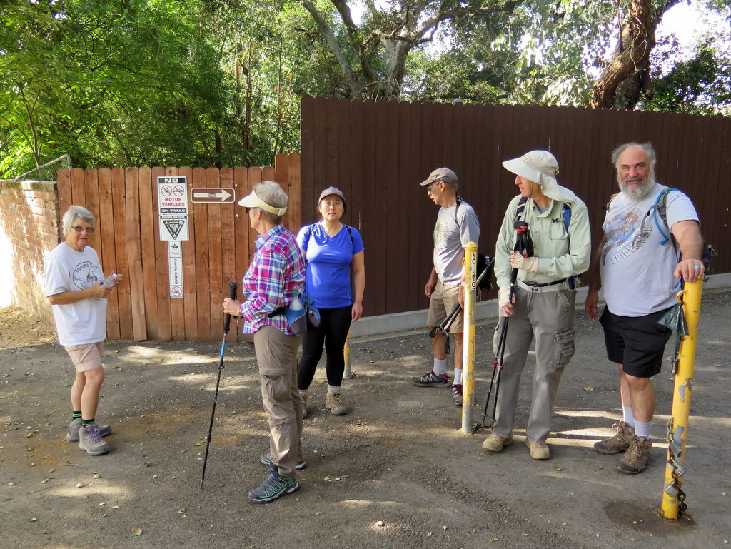
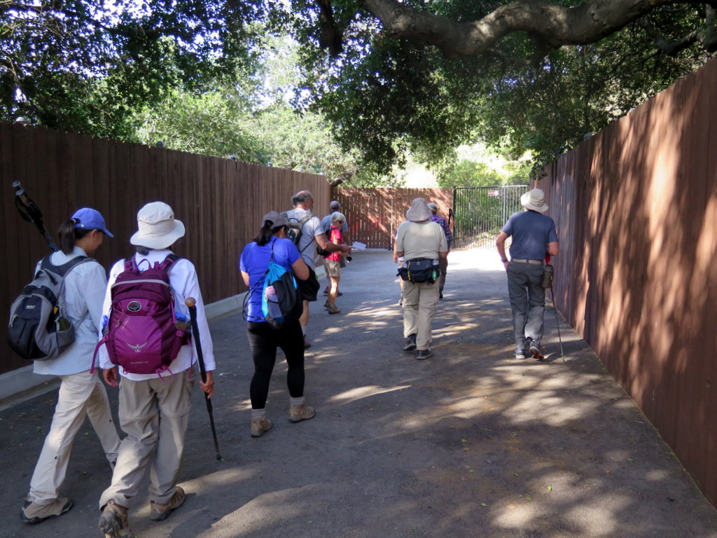
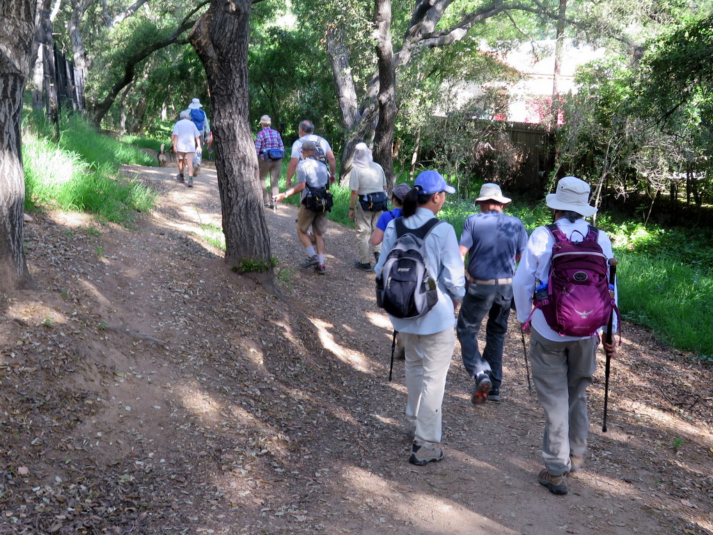
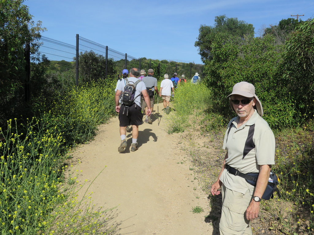
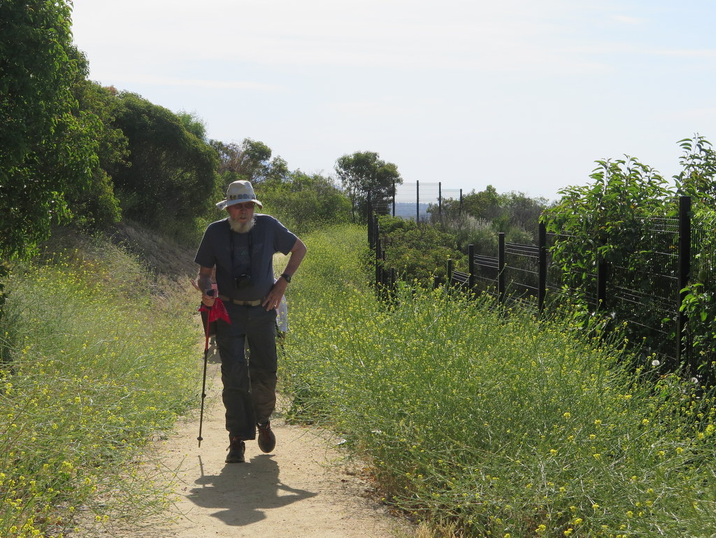
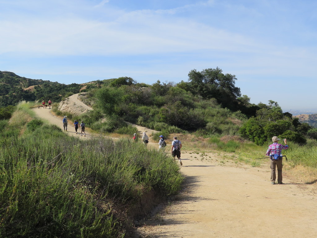
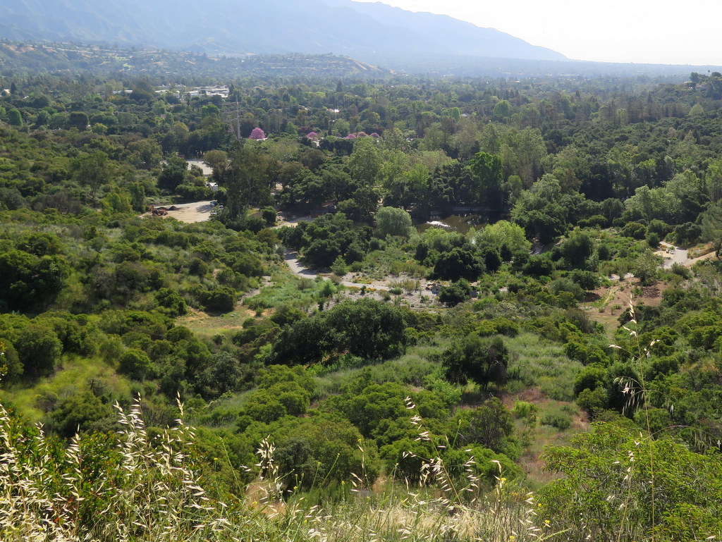
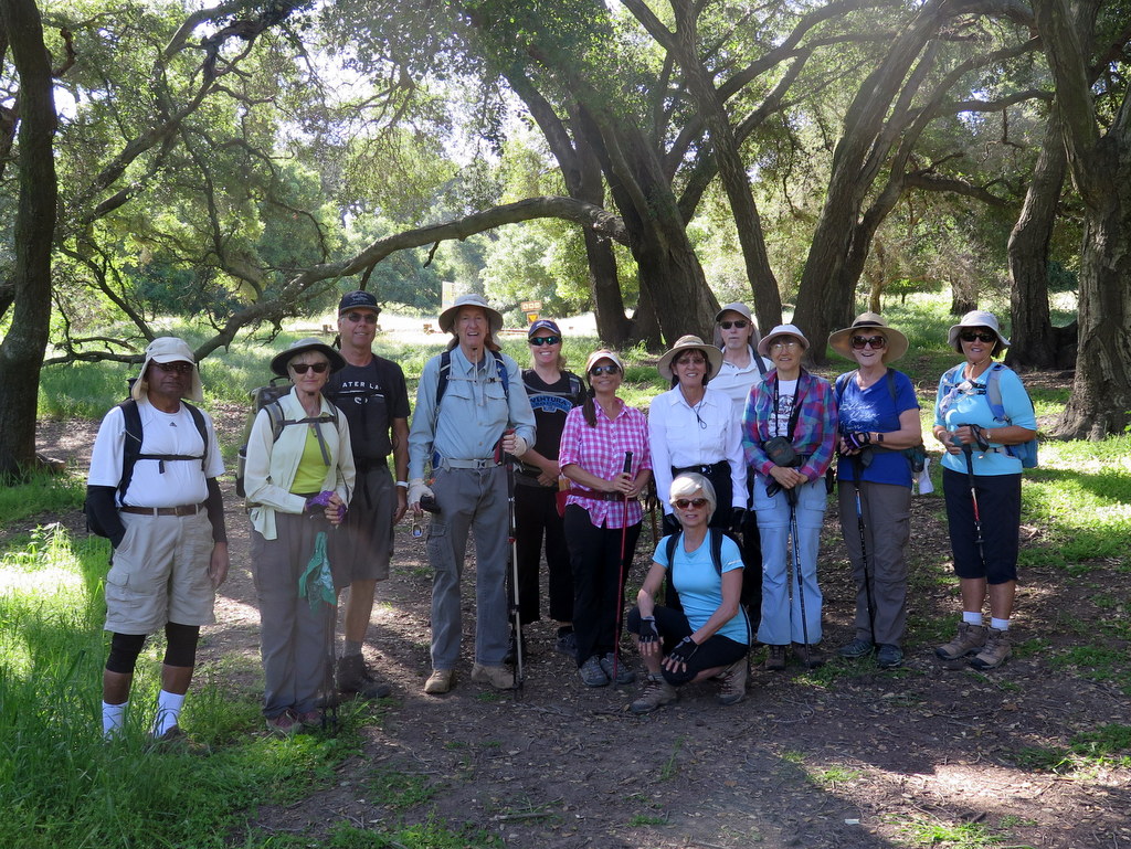
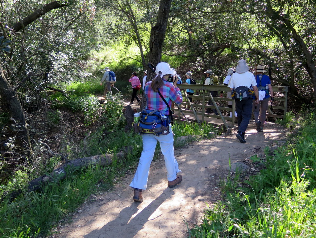

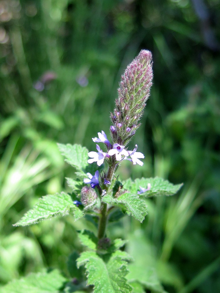
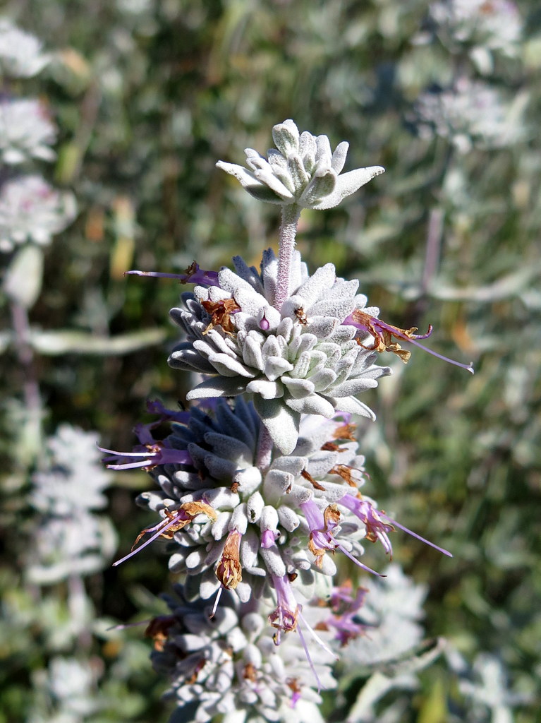
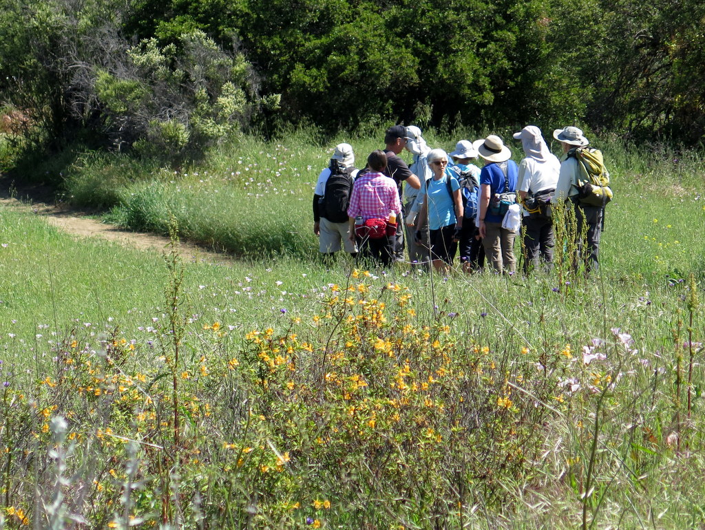
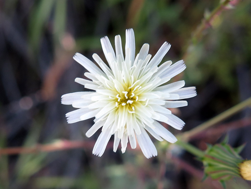
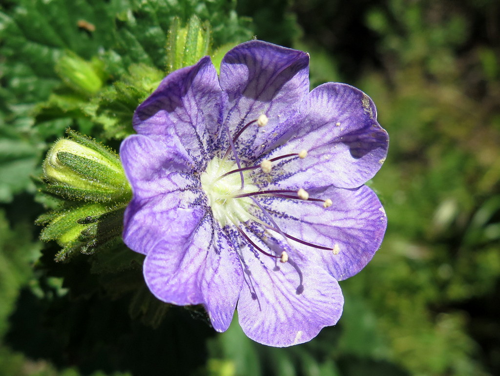
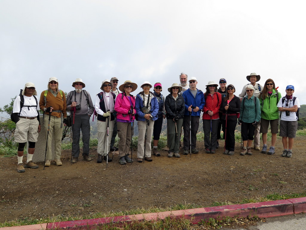
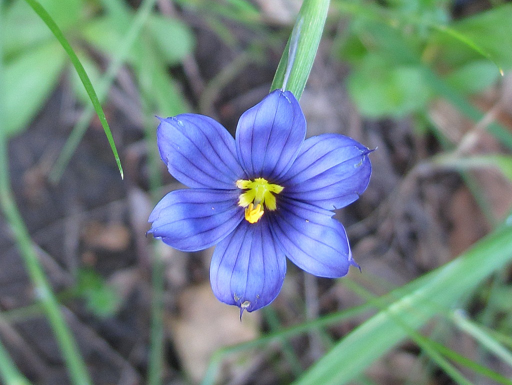
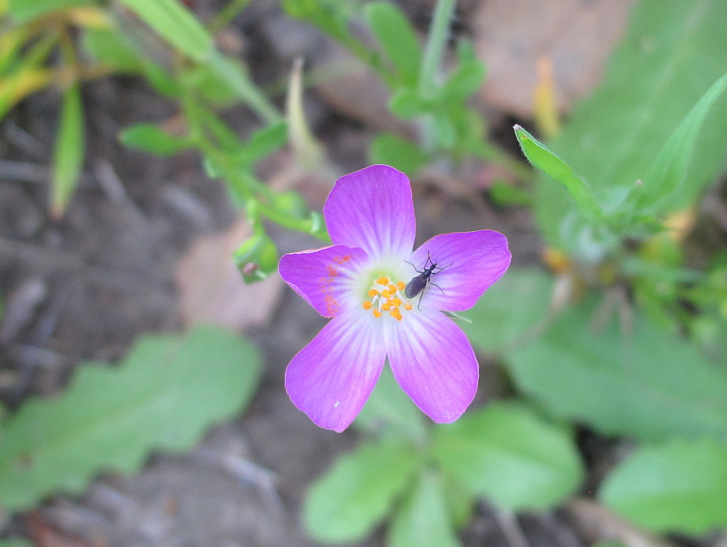
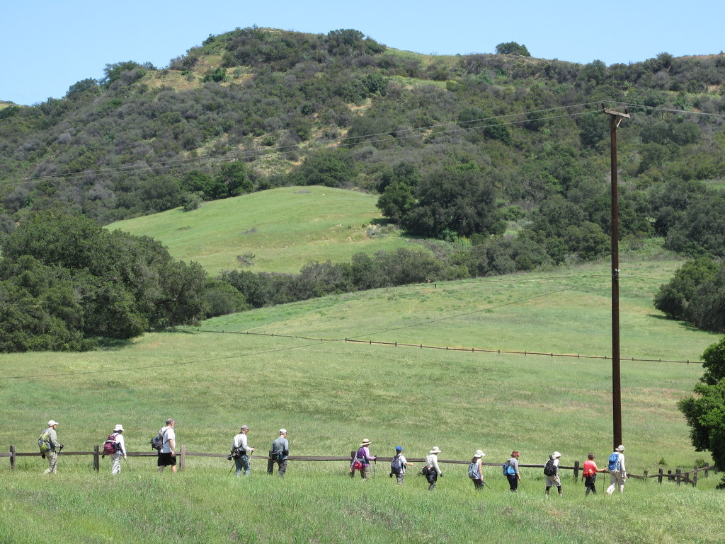
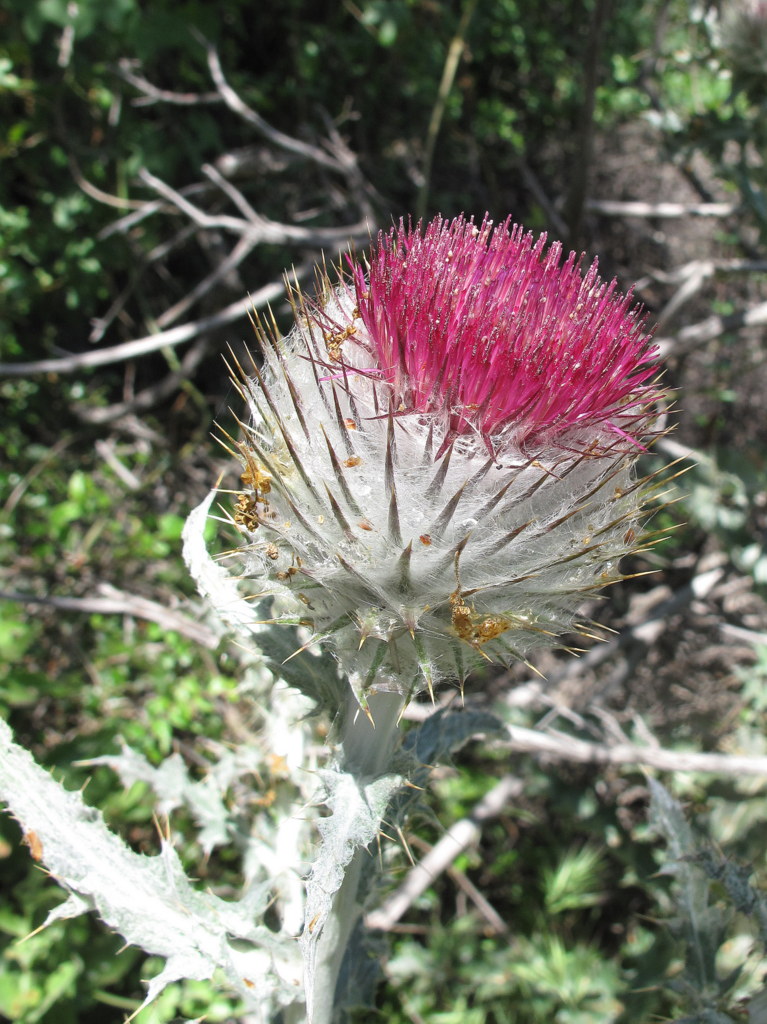
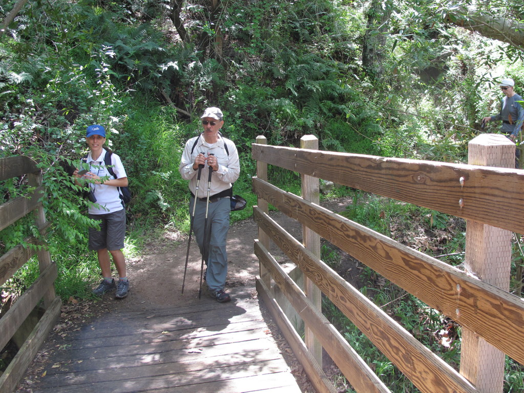
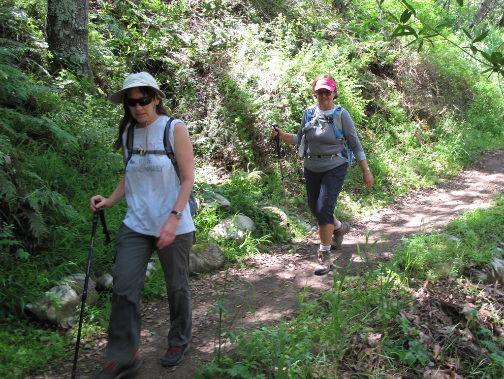
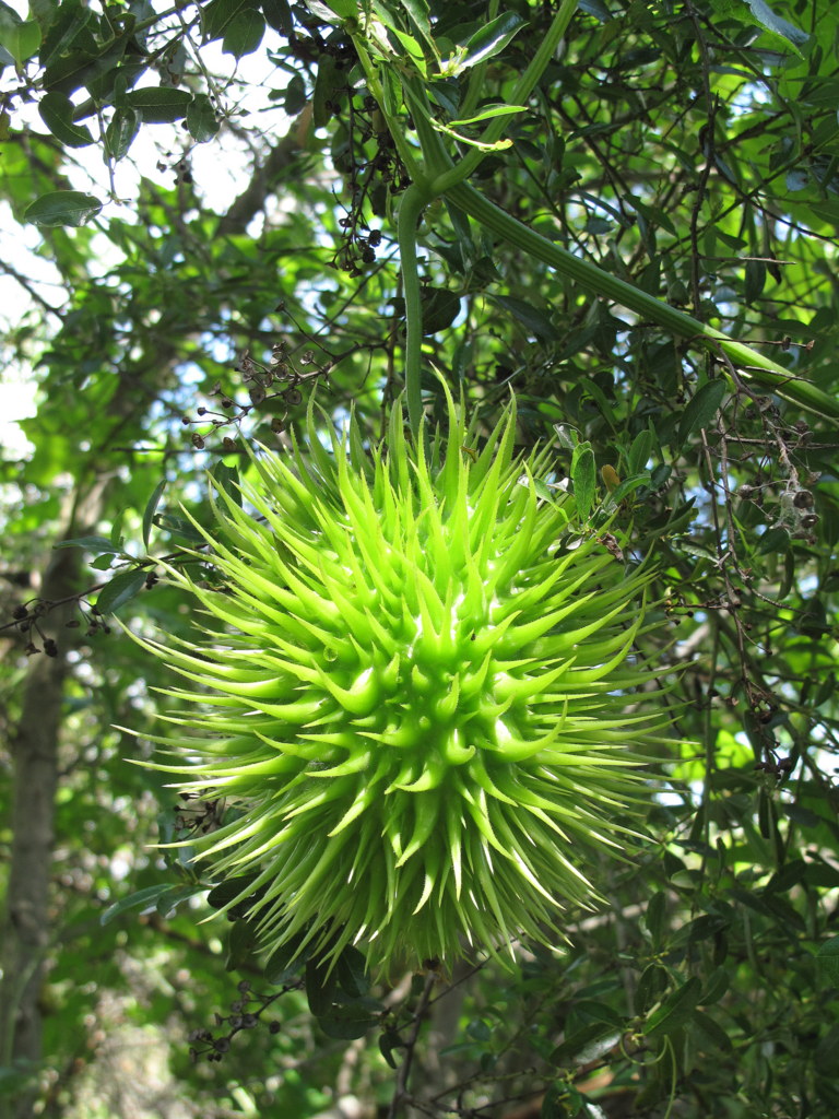
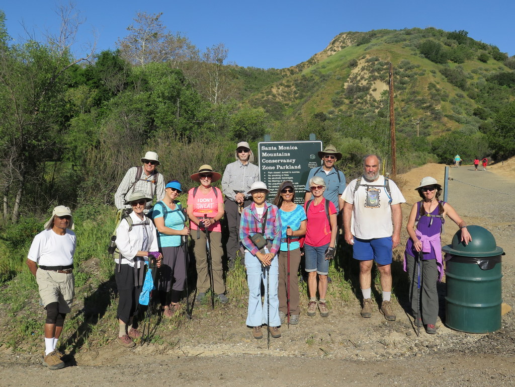
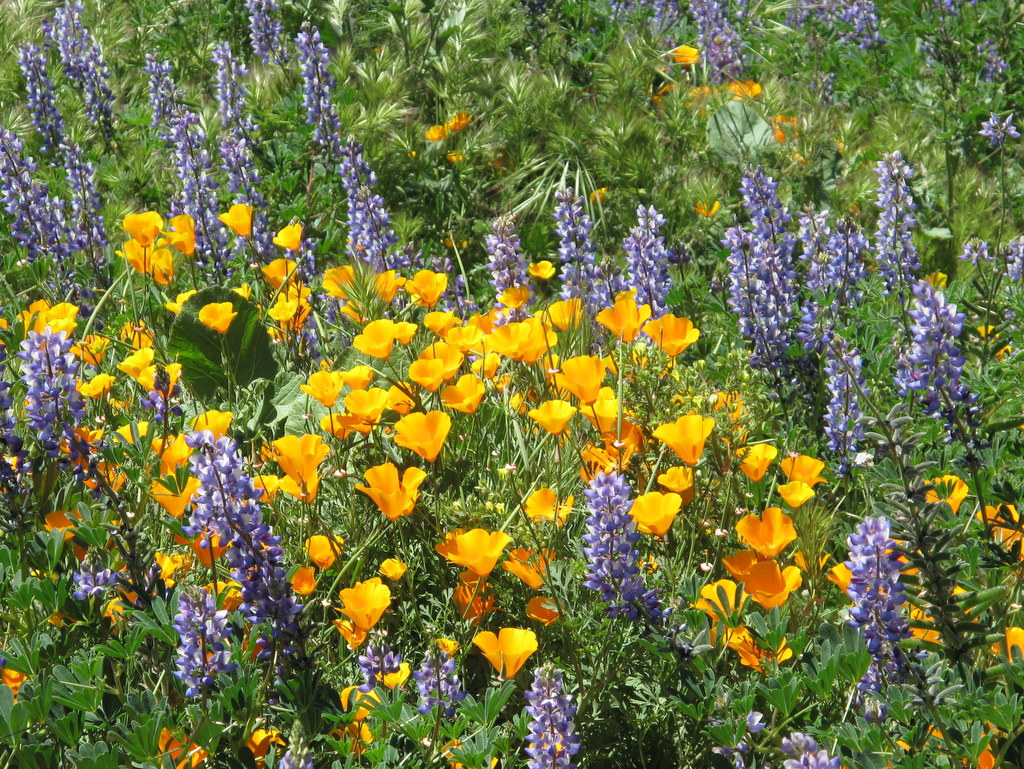
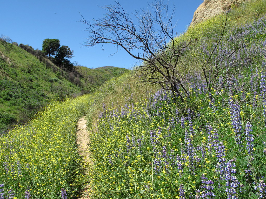
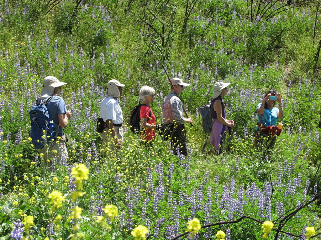

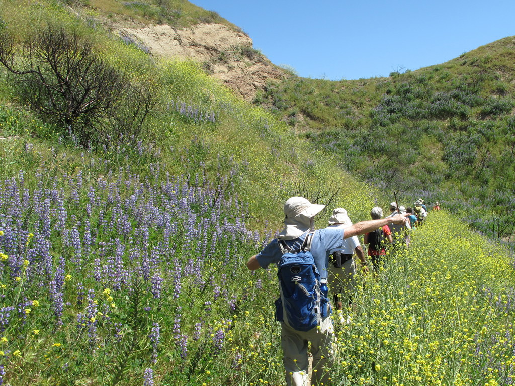
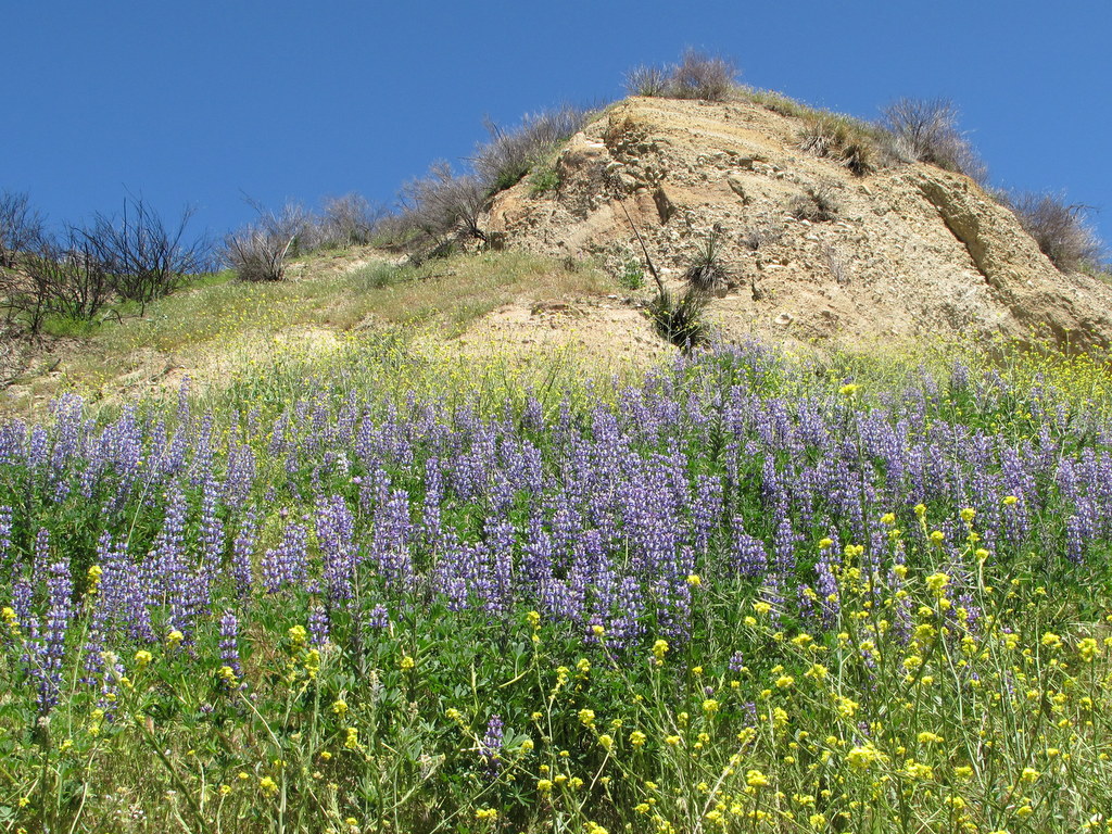
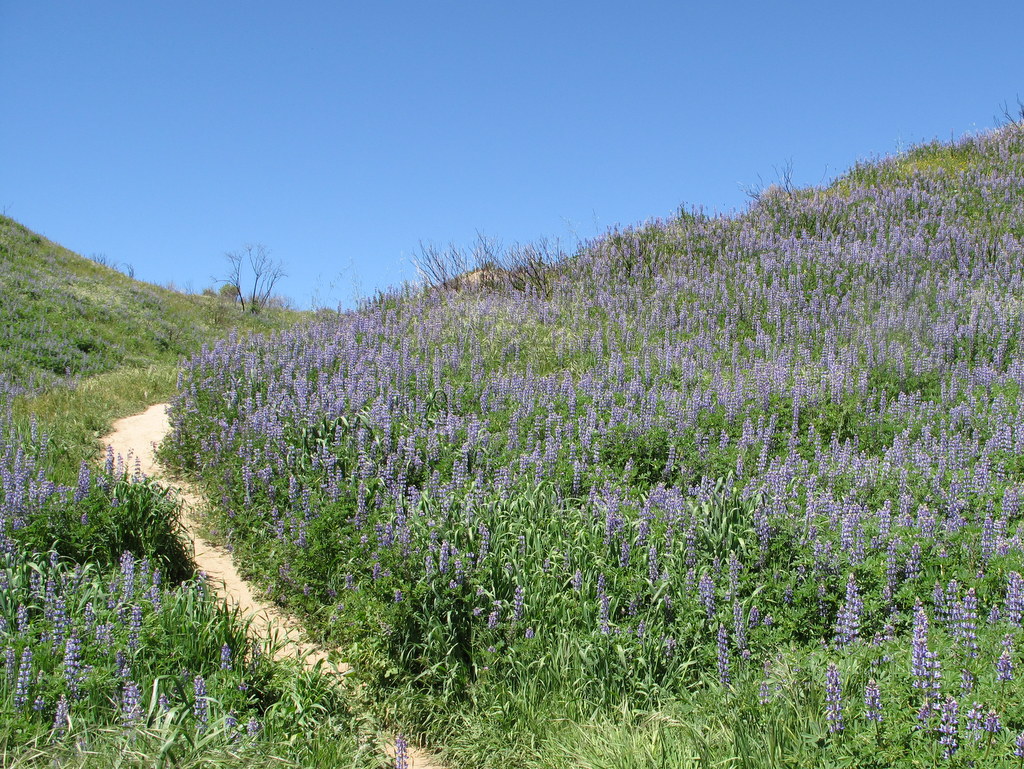
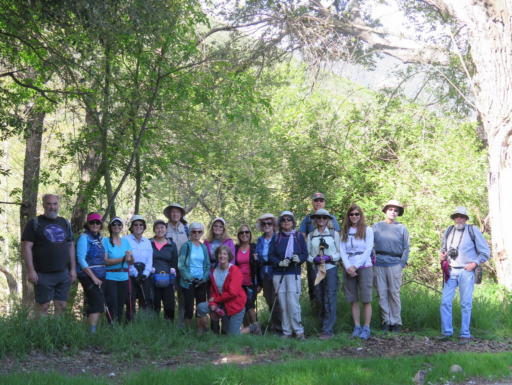
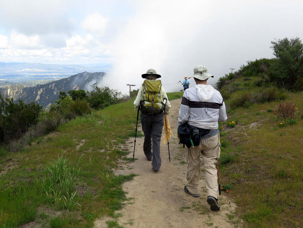
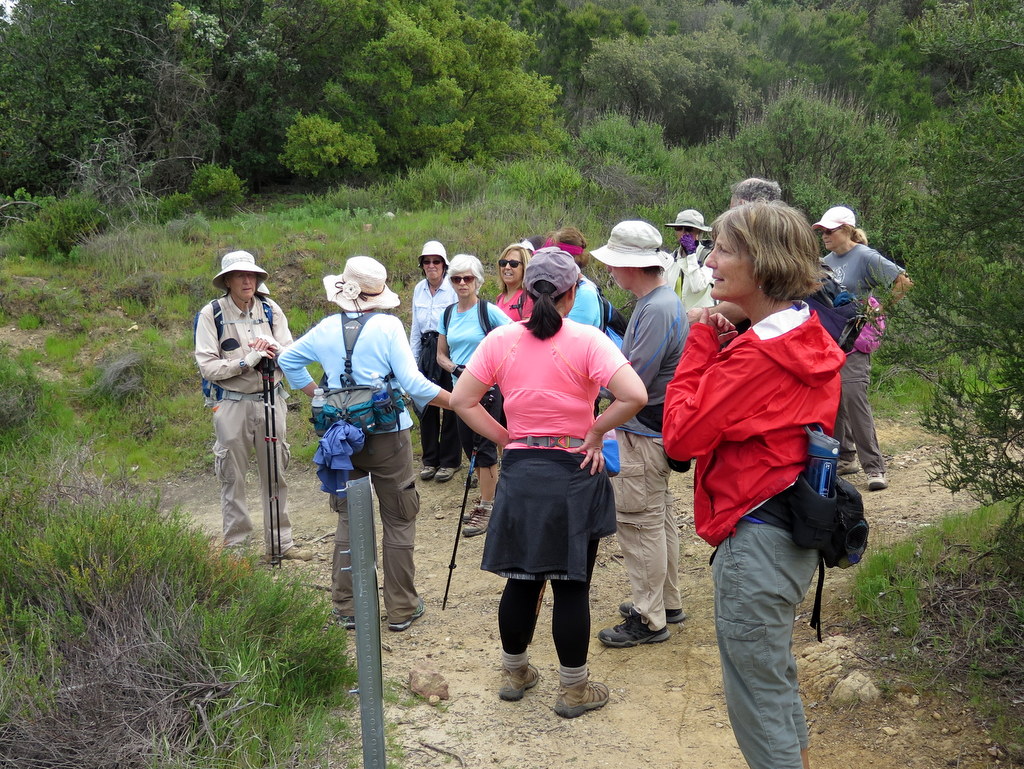
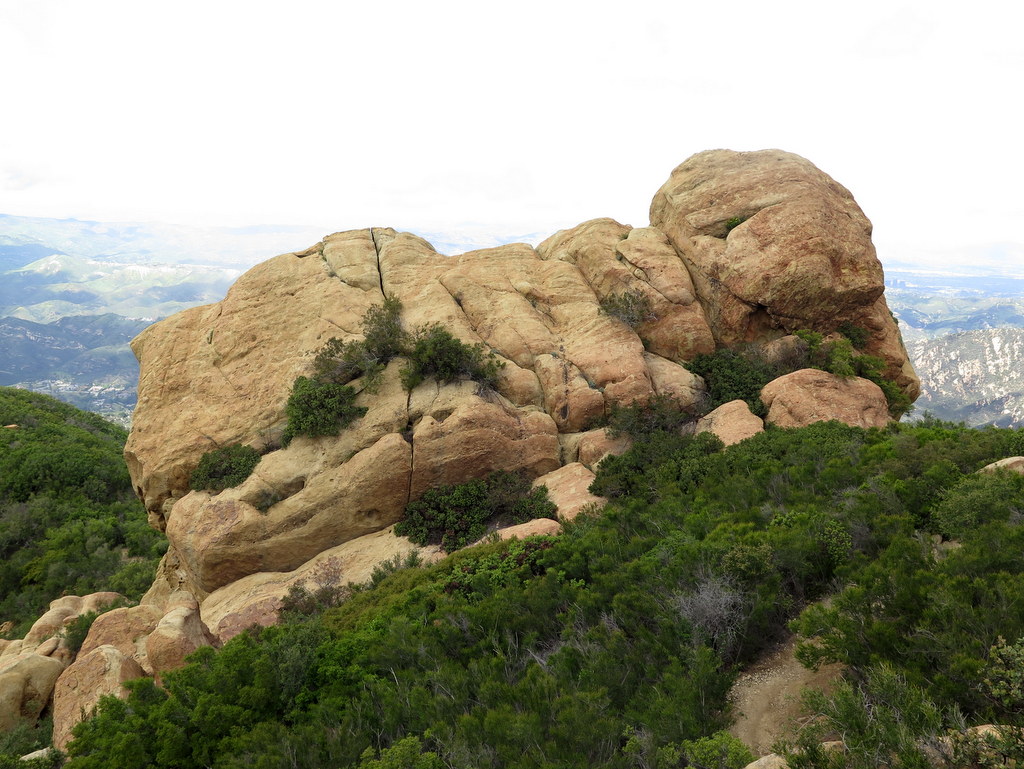
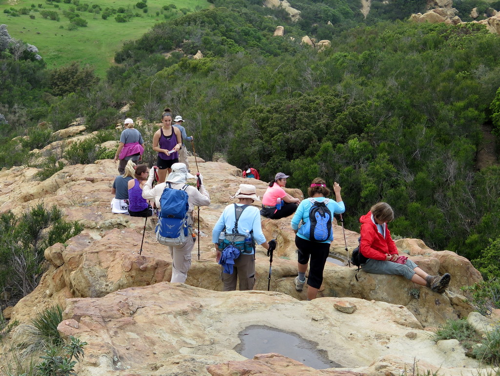
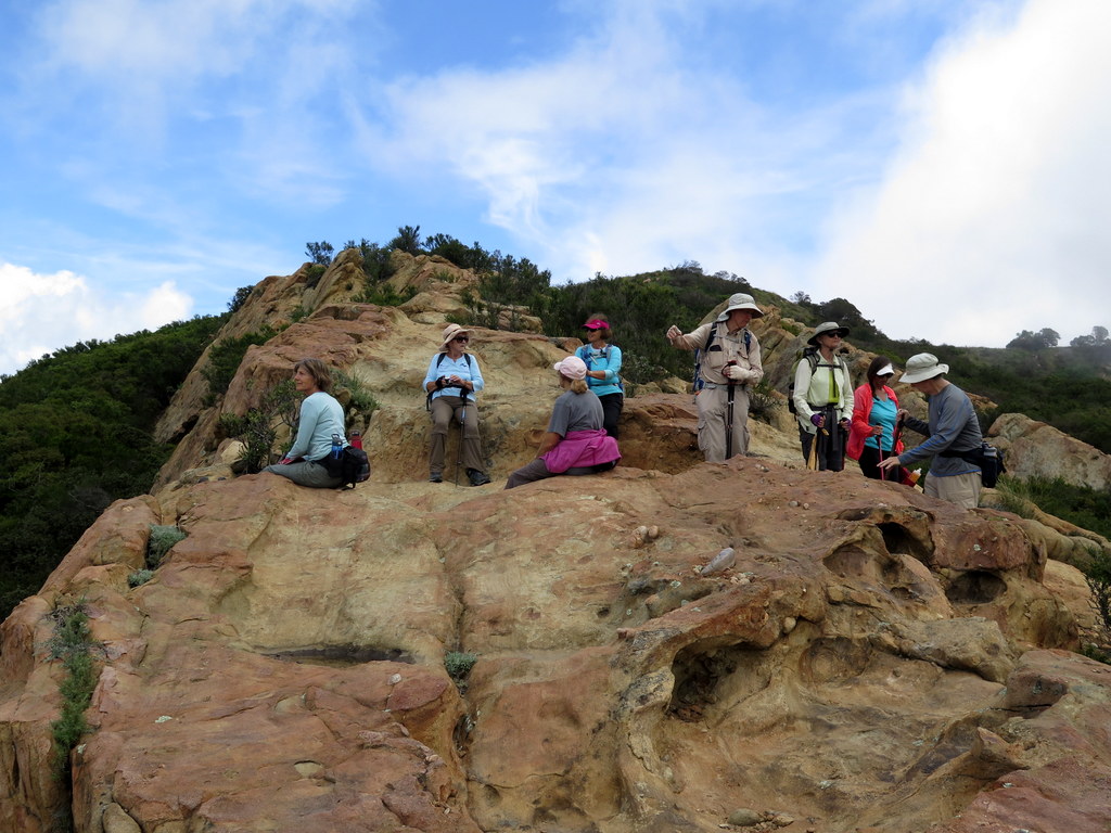
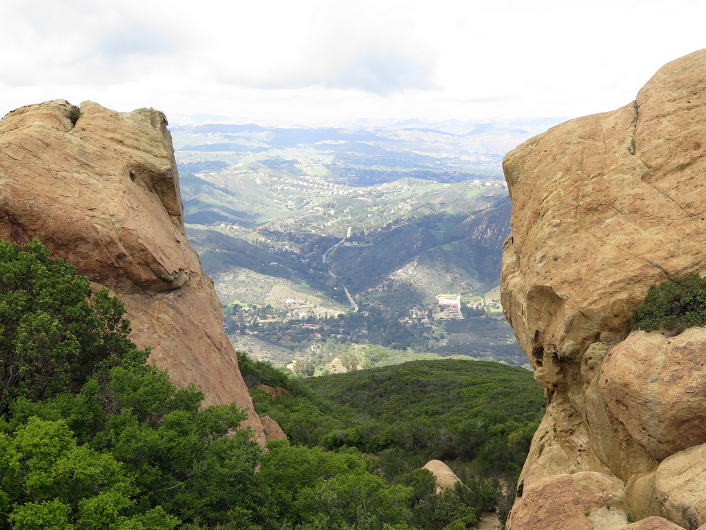
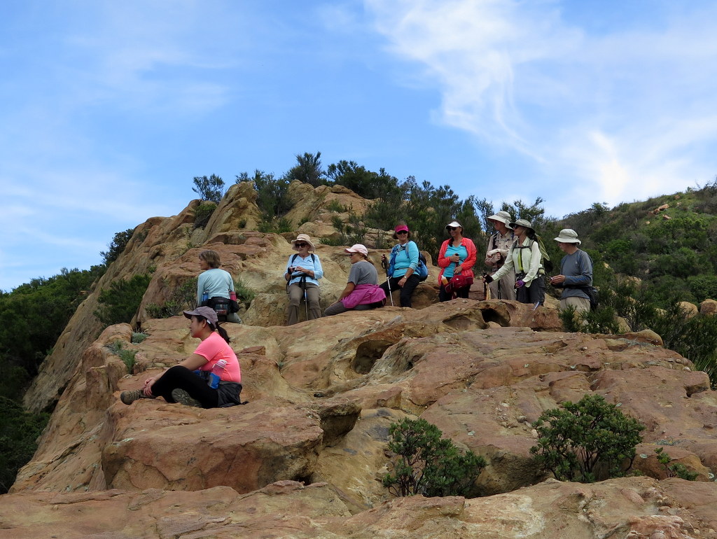
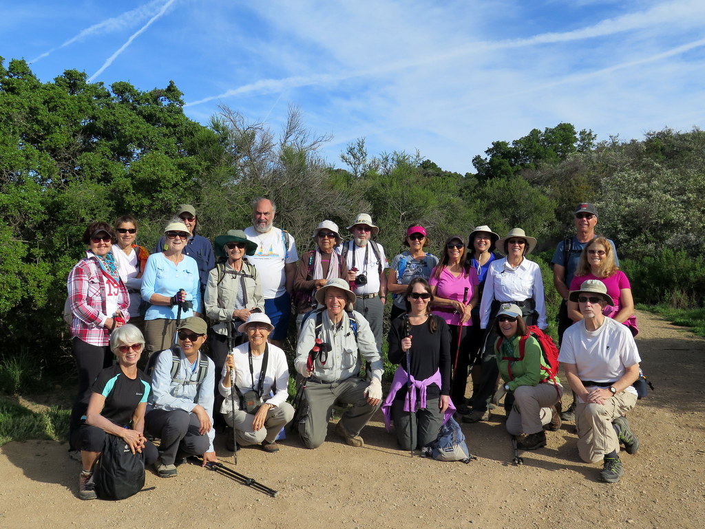
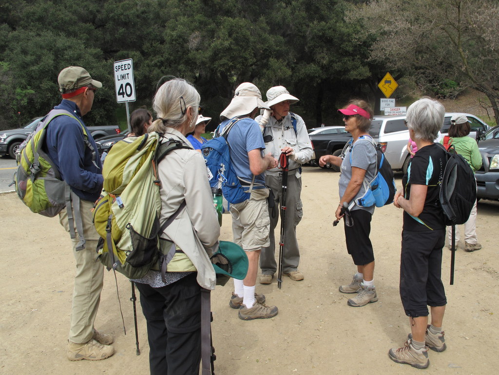
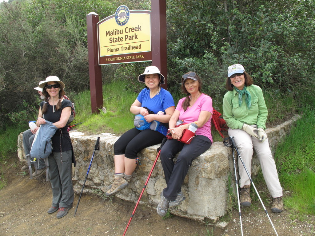
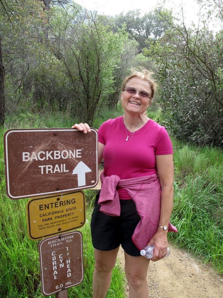
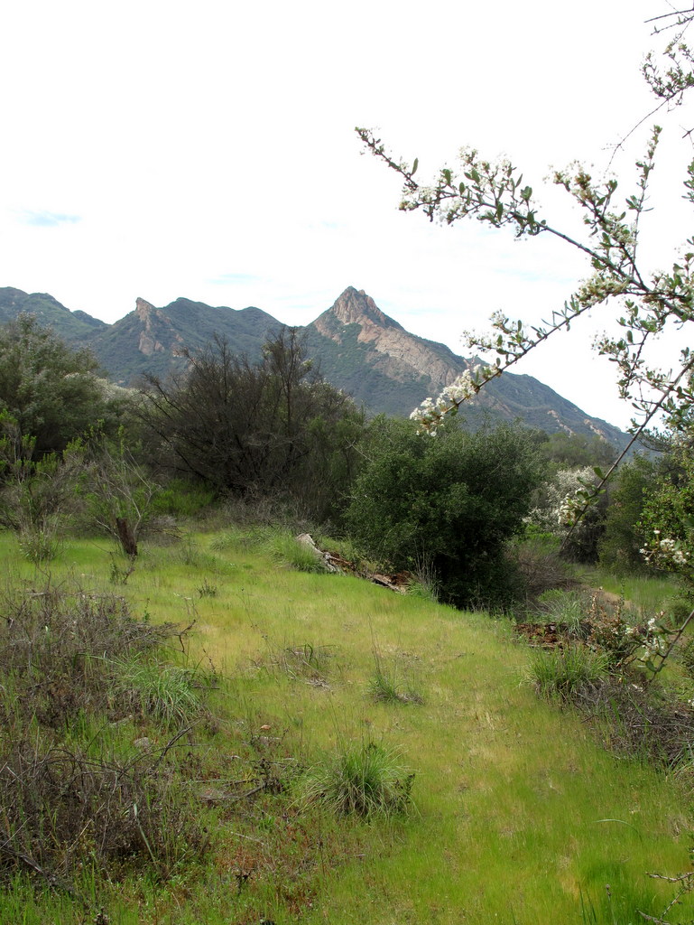
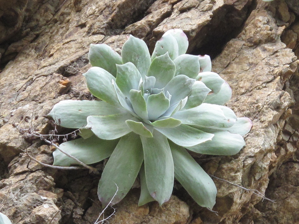
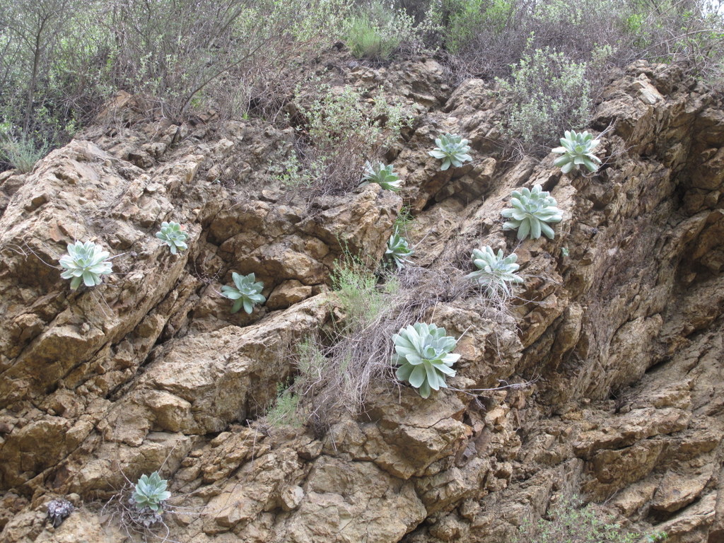
![DVNP2 3-1-17 (3) The mouth of Golden Canyon [Les is kneeling]](https://www.simitrailblazers.com/wp-content/uploads/2017/03/DVNP2-3-1-17-3-The-mouth-of-Golden-Canyon-Les-is-kneeling.jpg)