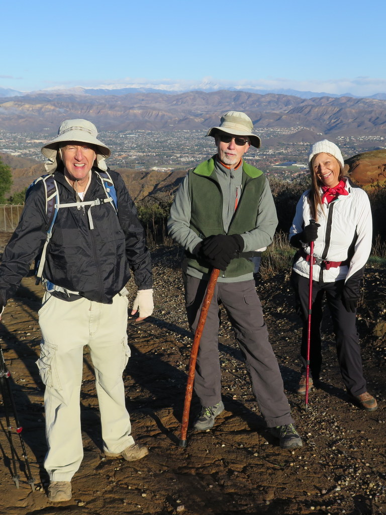
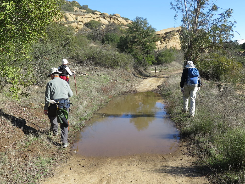
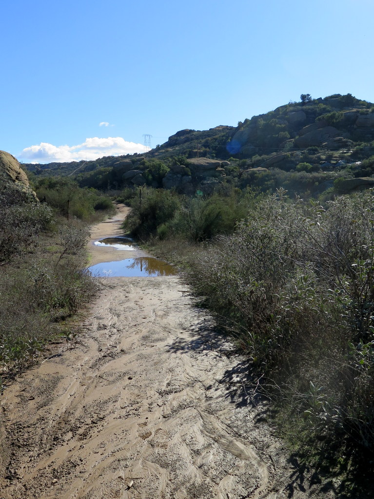
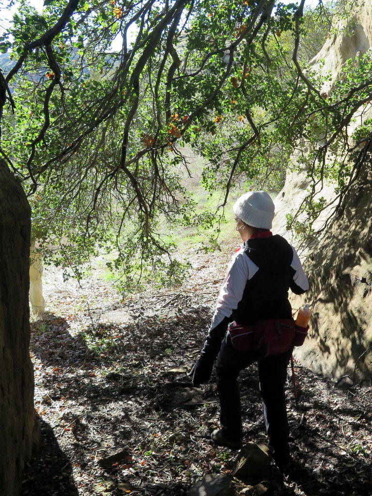
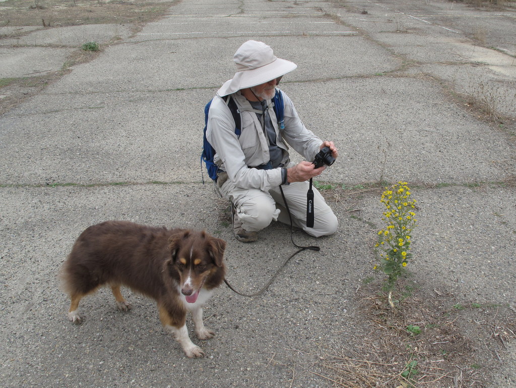
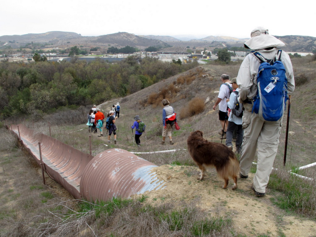
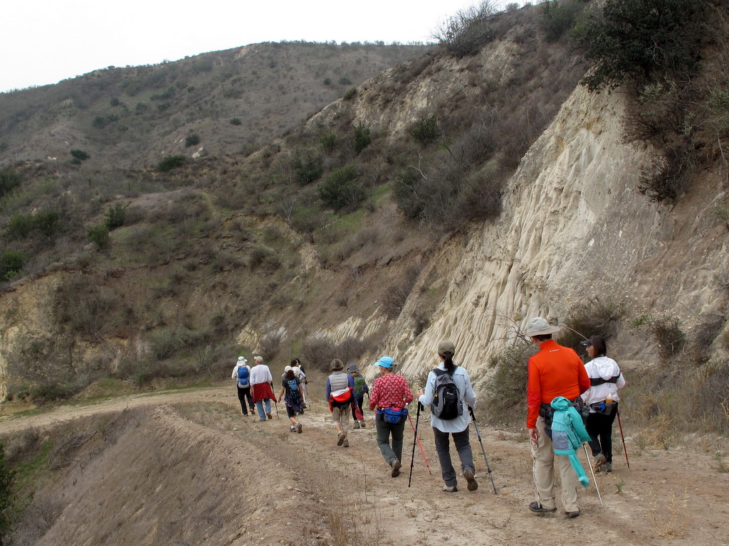
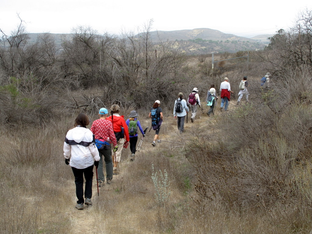
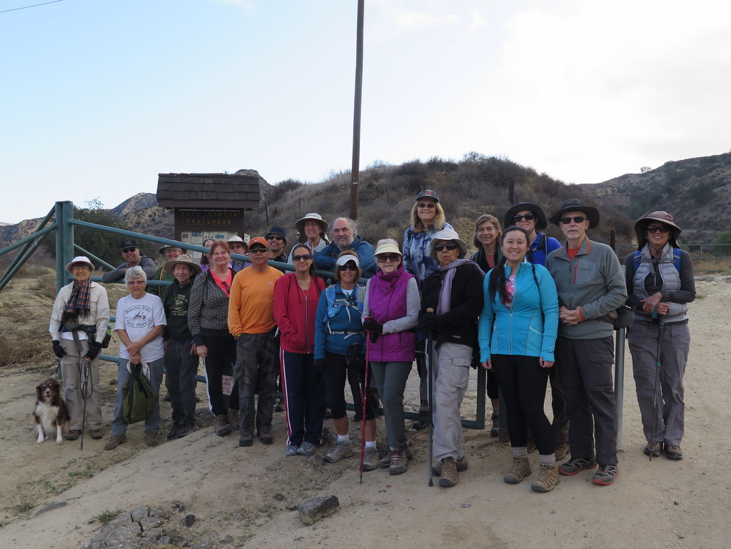
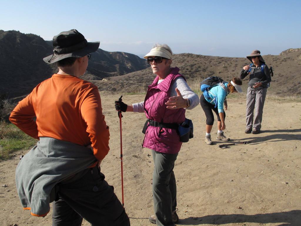
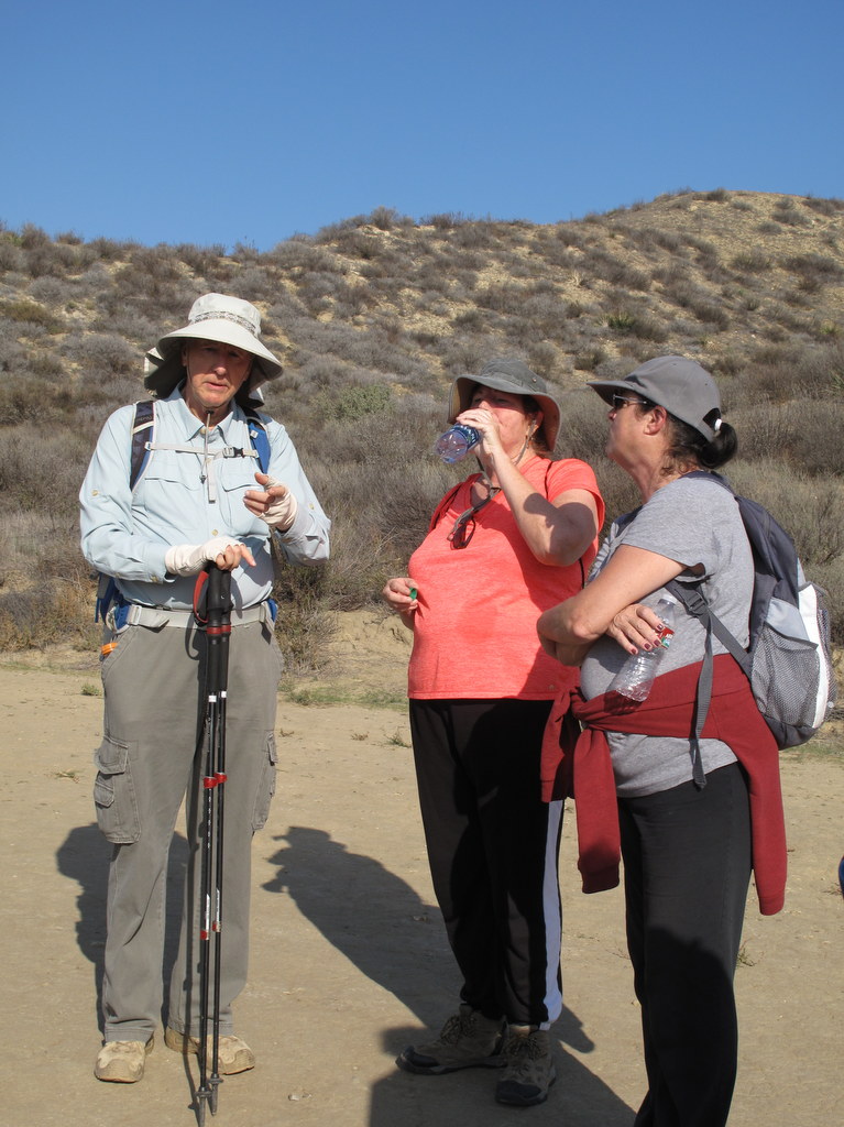
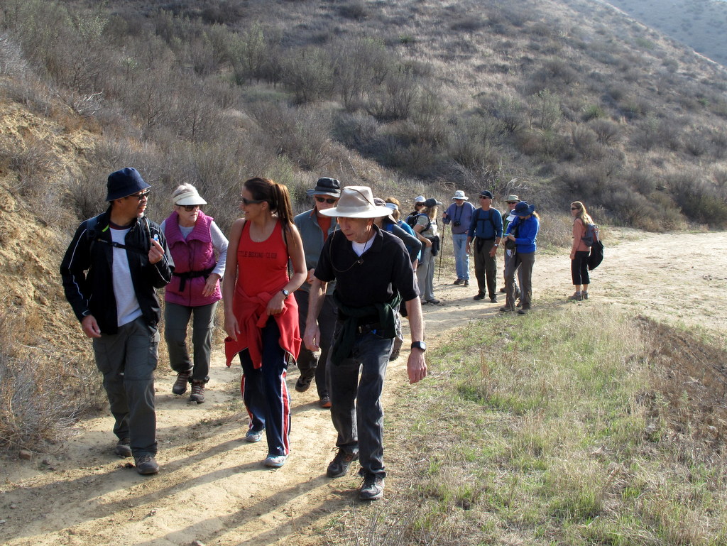
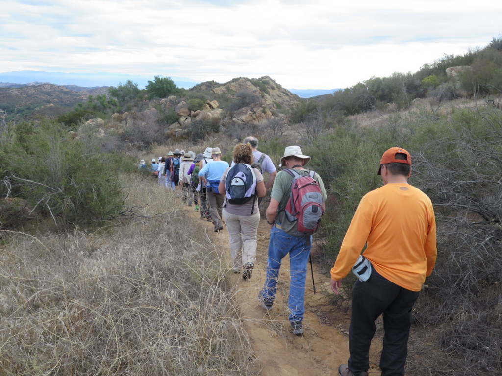
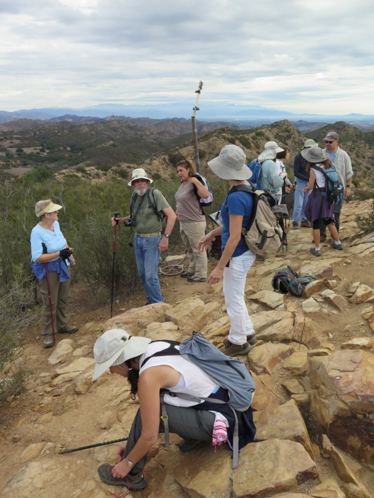
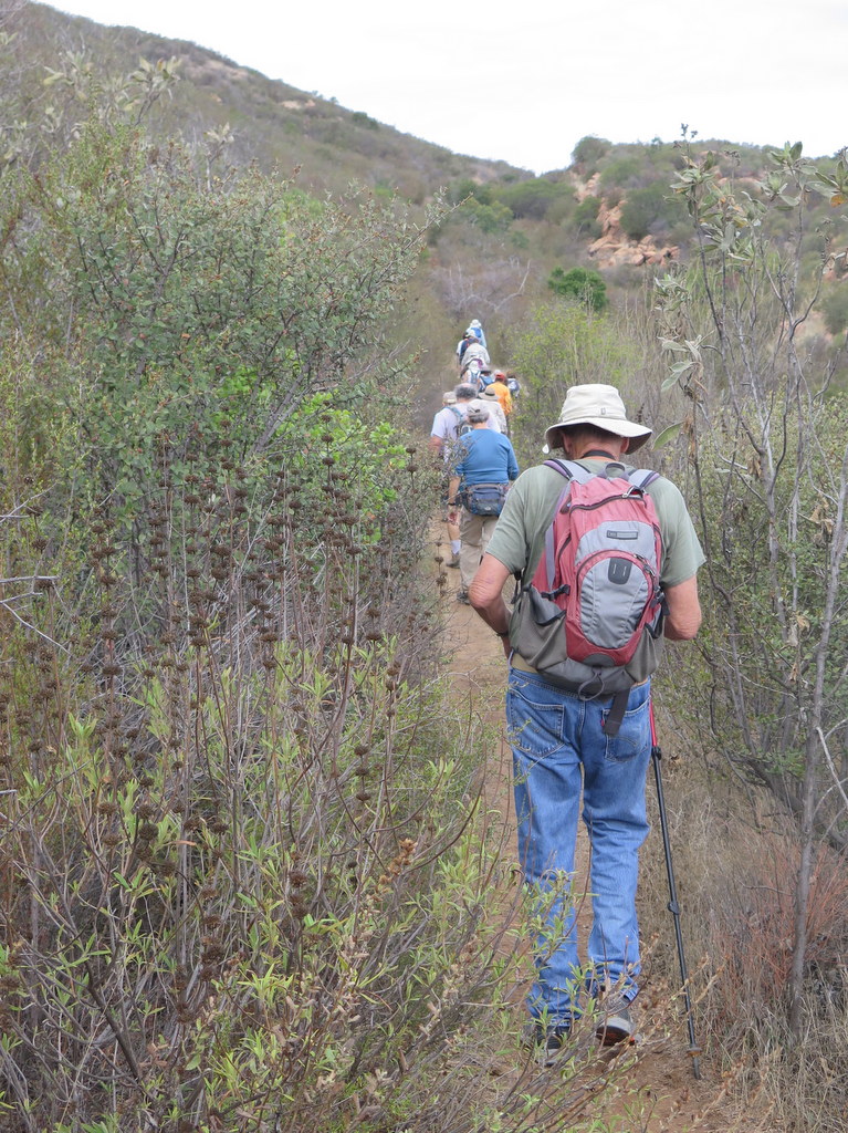
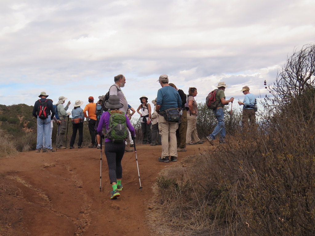
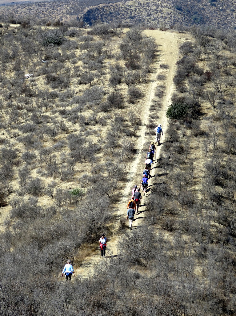
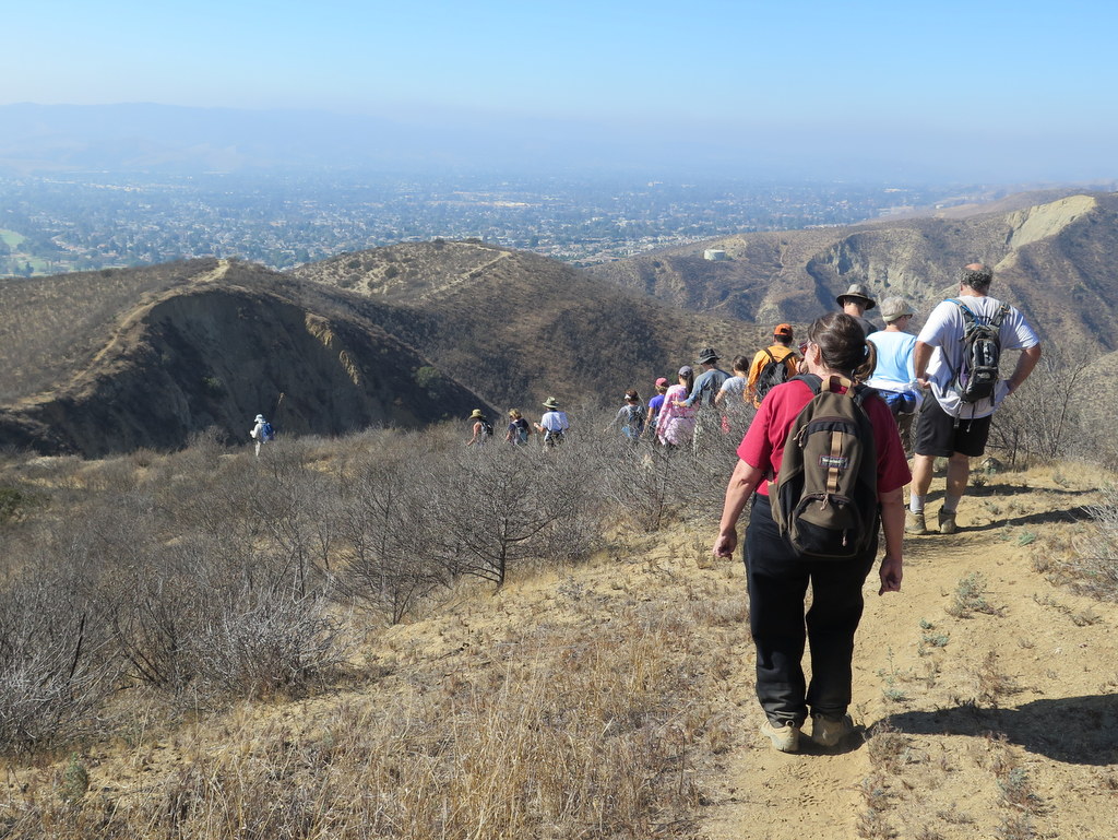
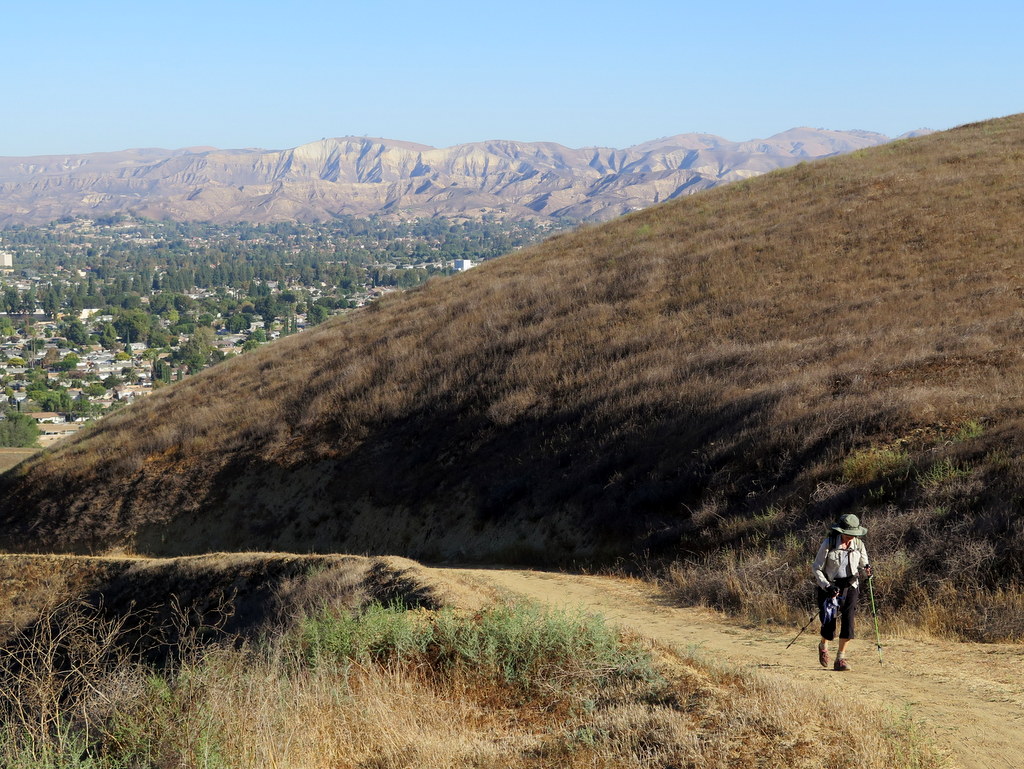
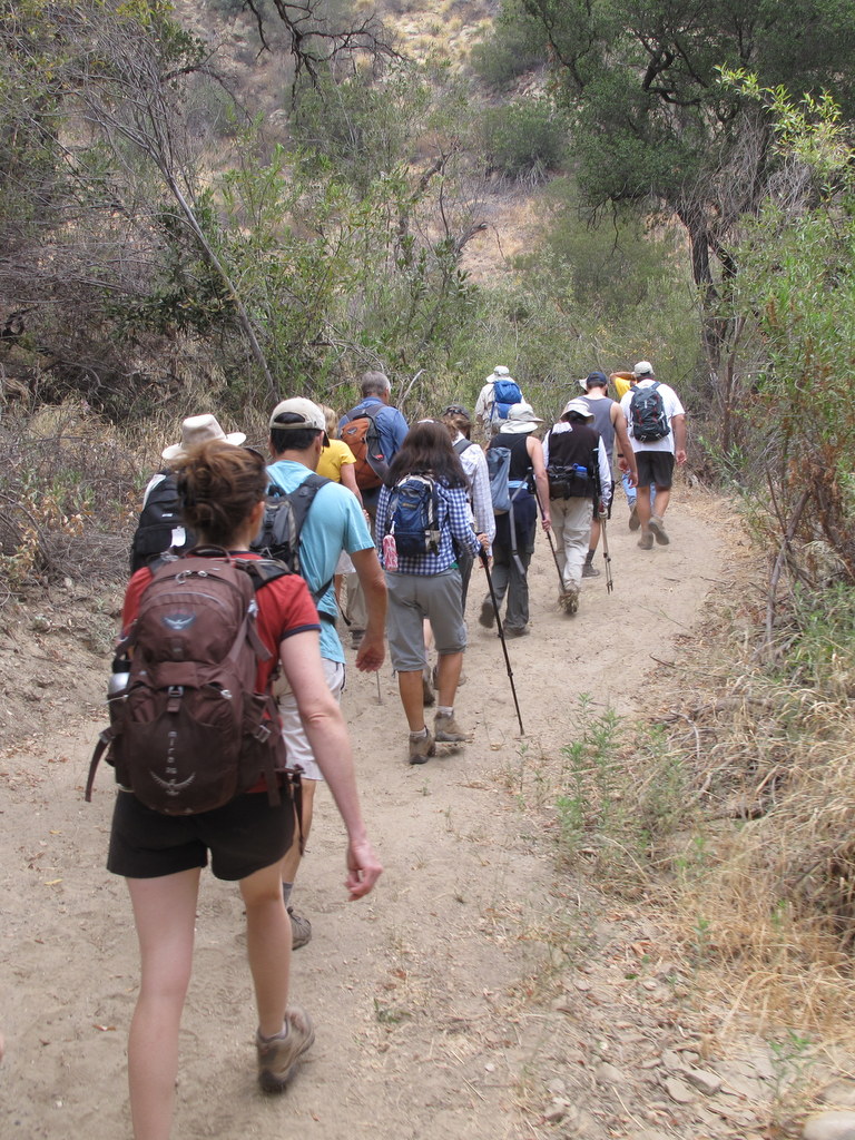
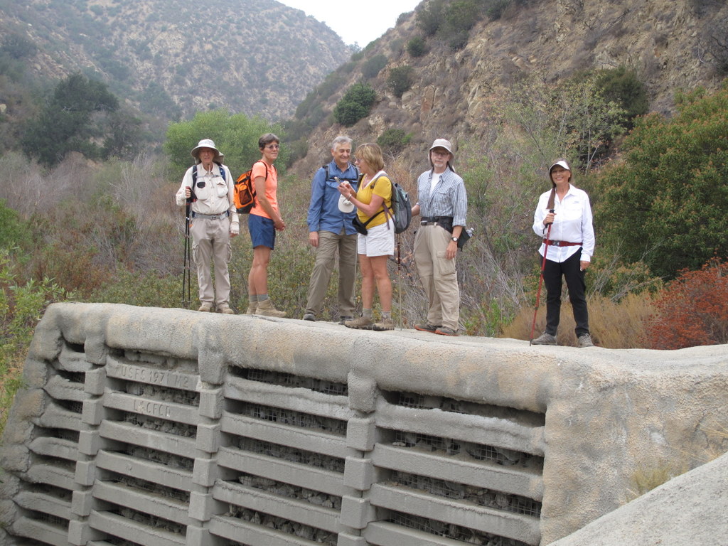
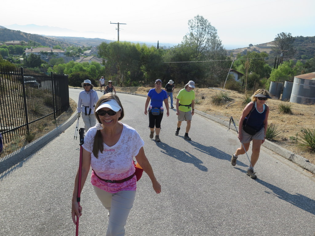
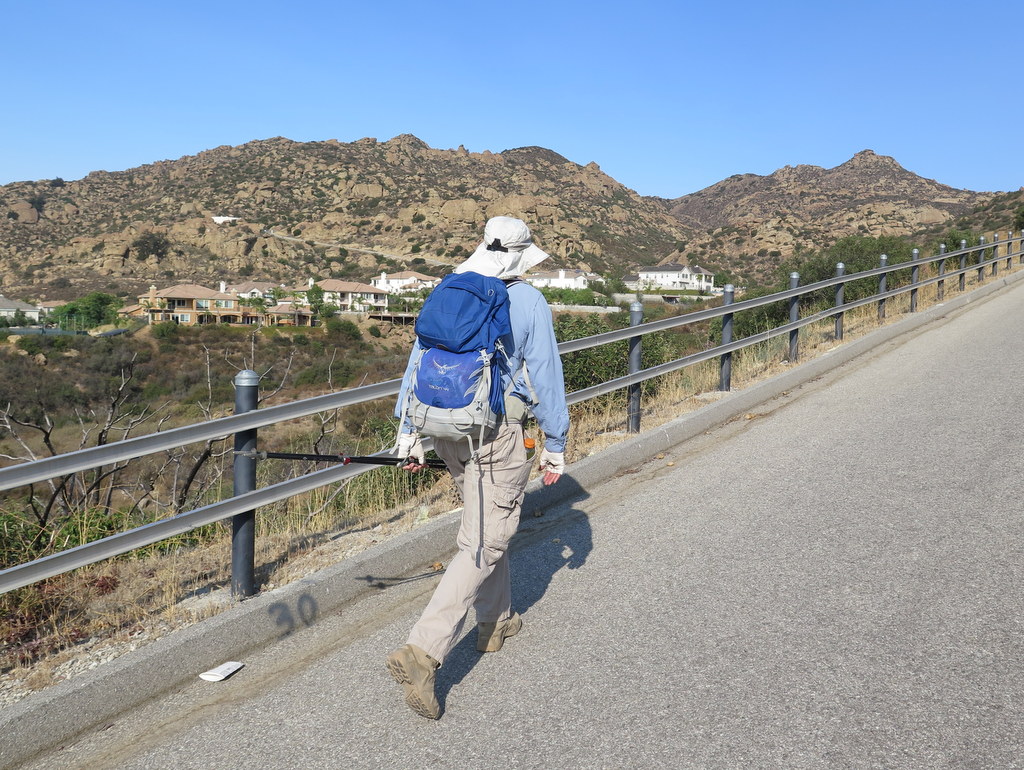
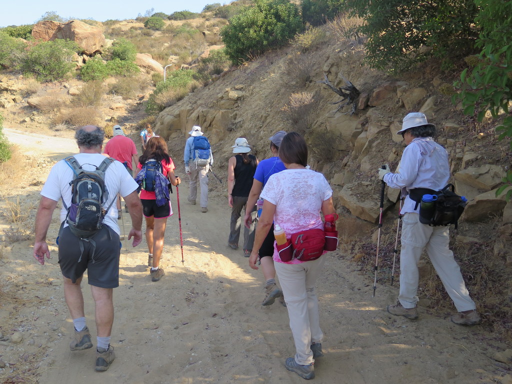
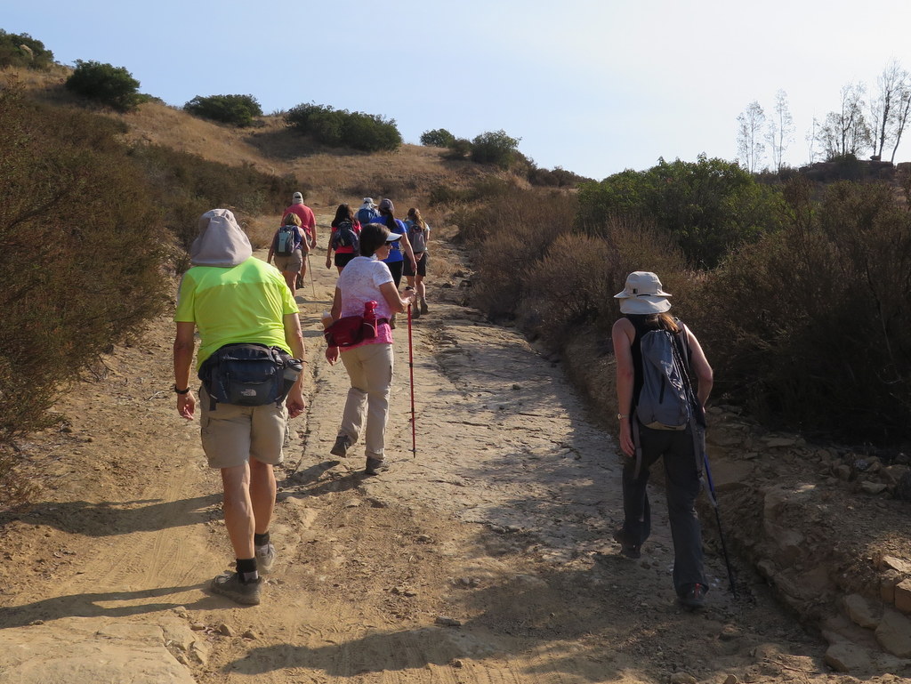
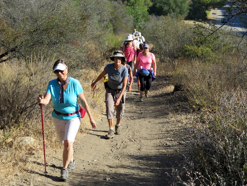
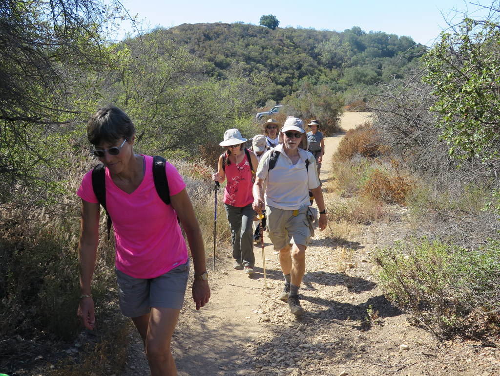
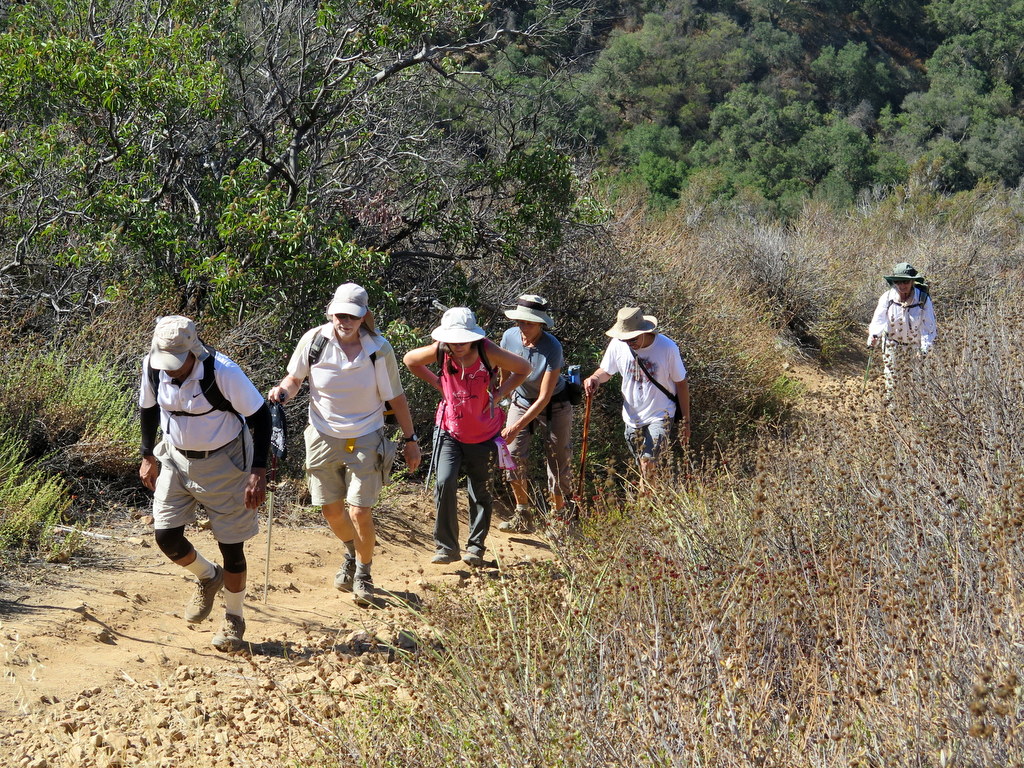
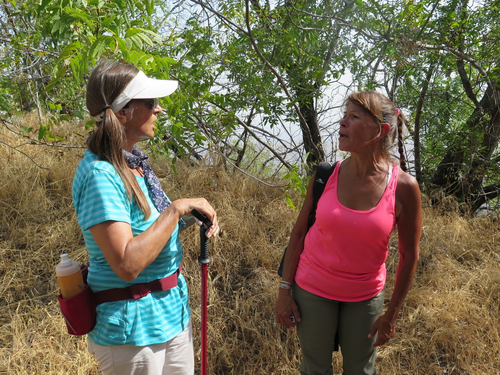
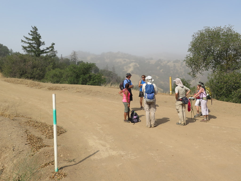
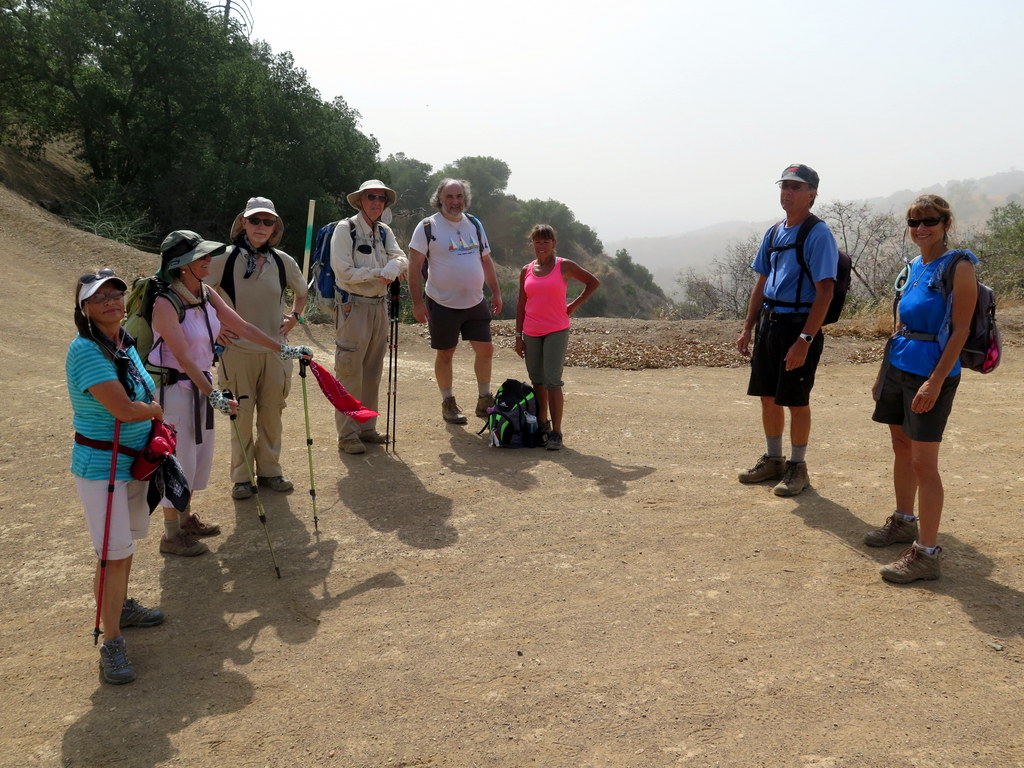
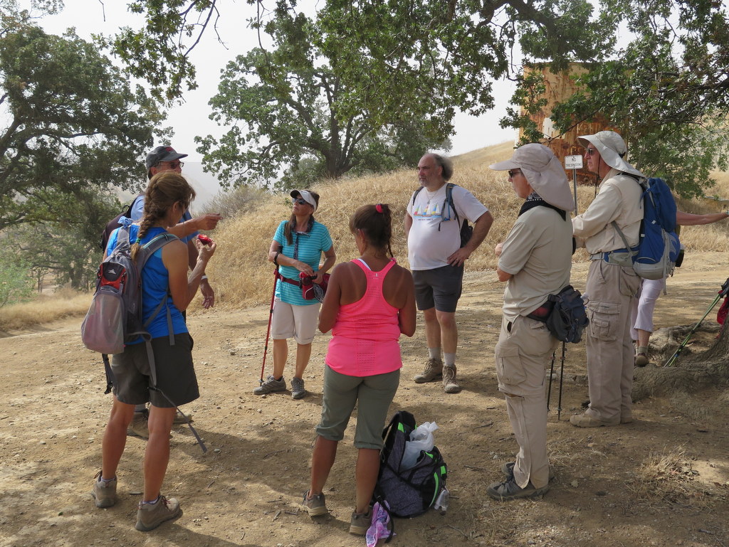
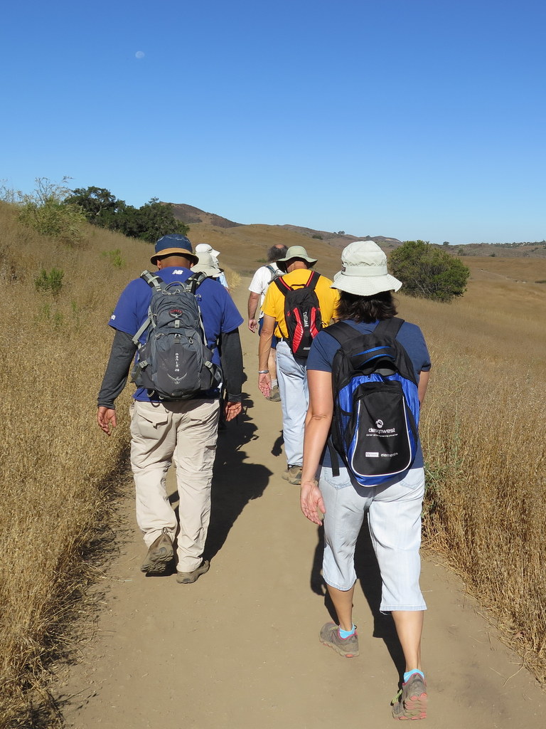
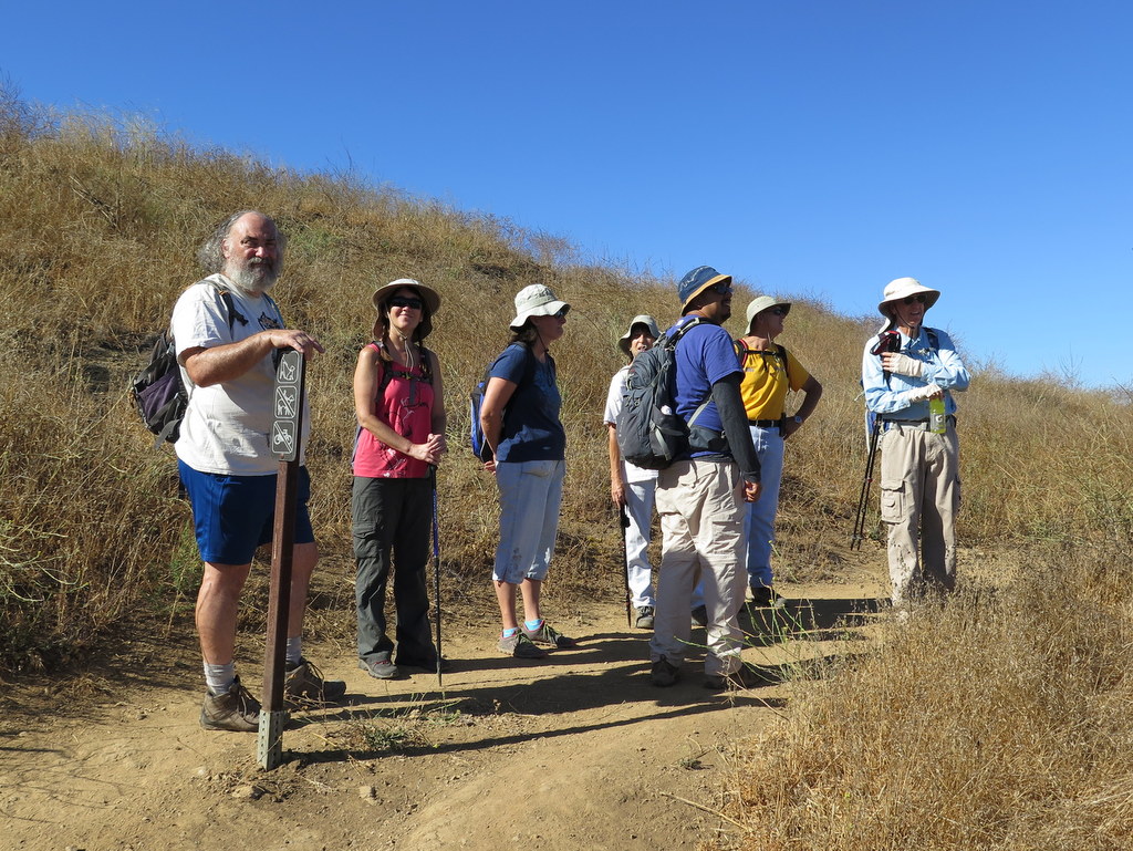
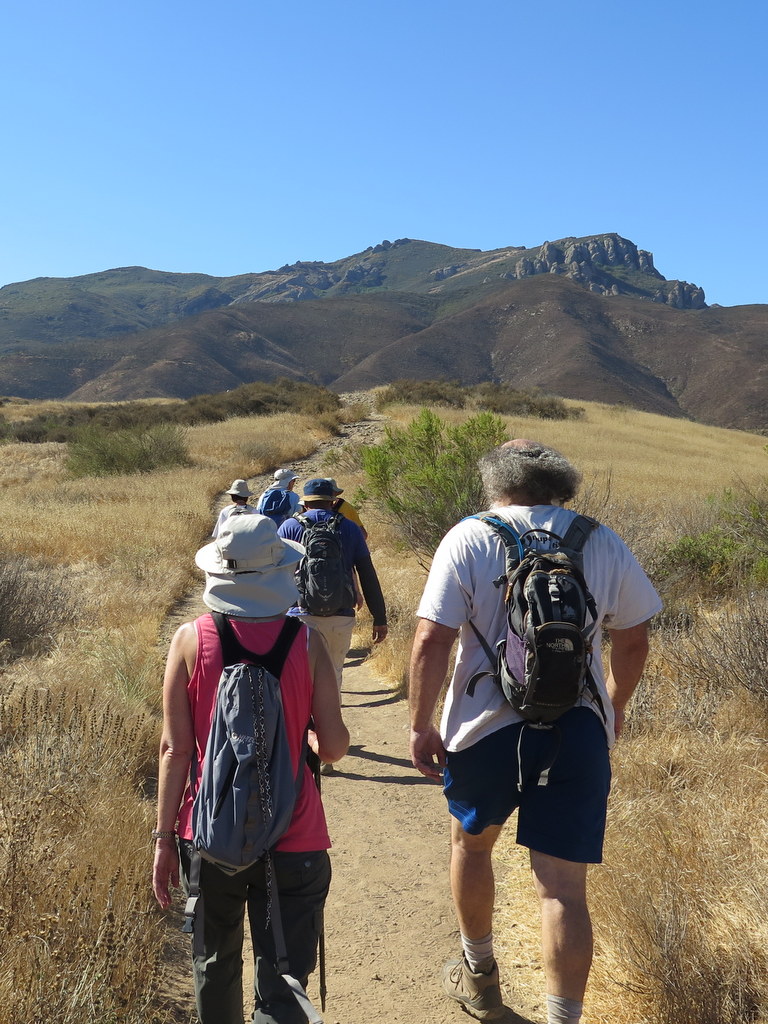
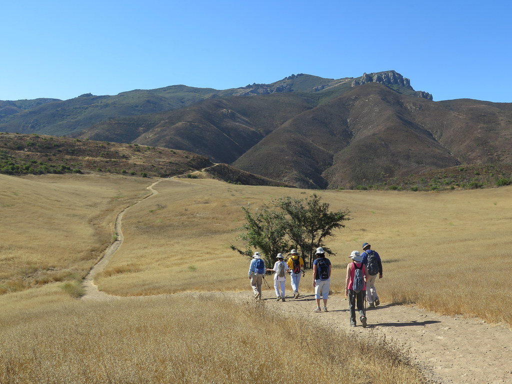
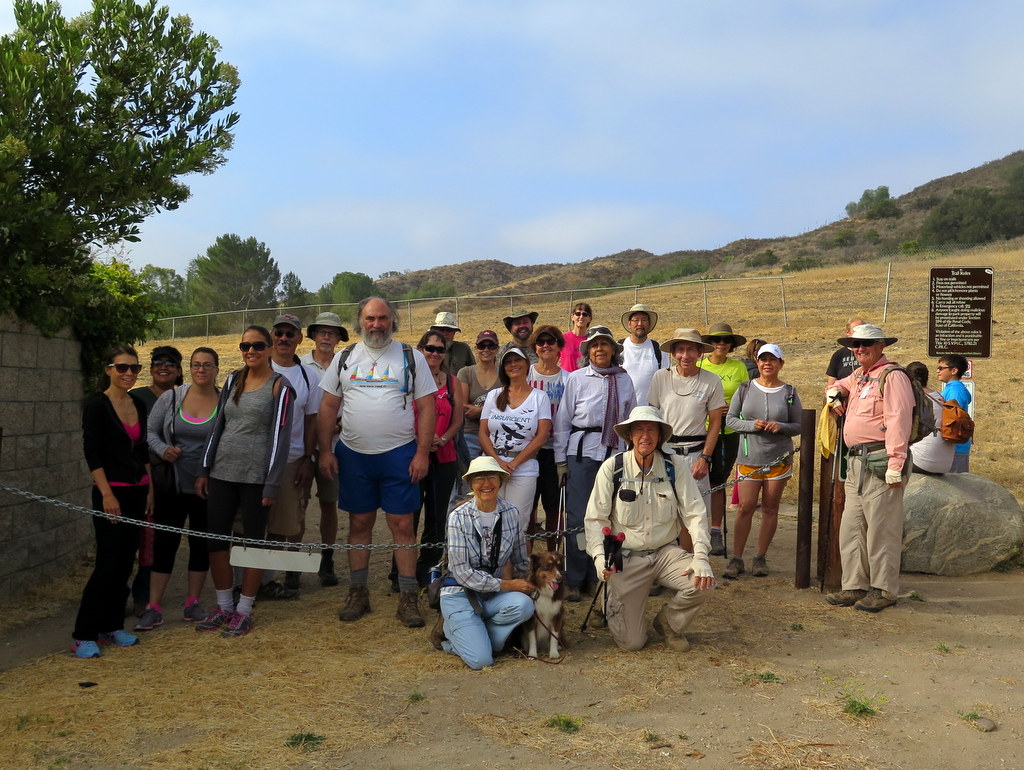
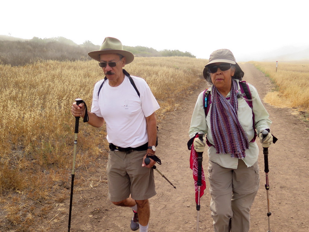
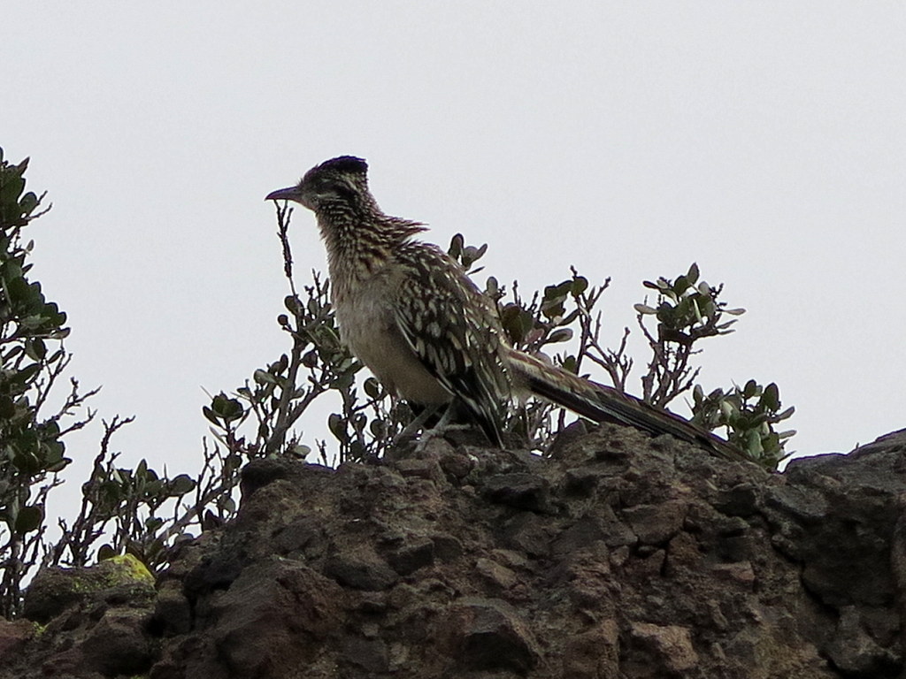
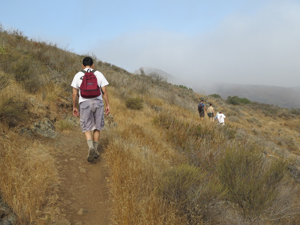
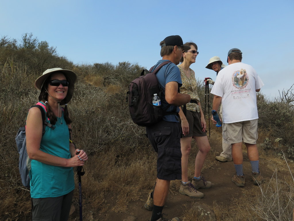
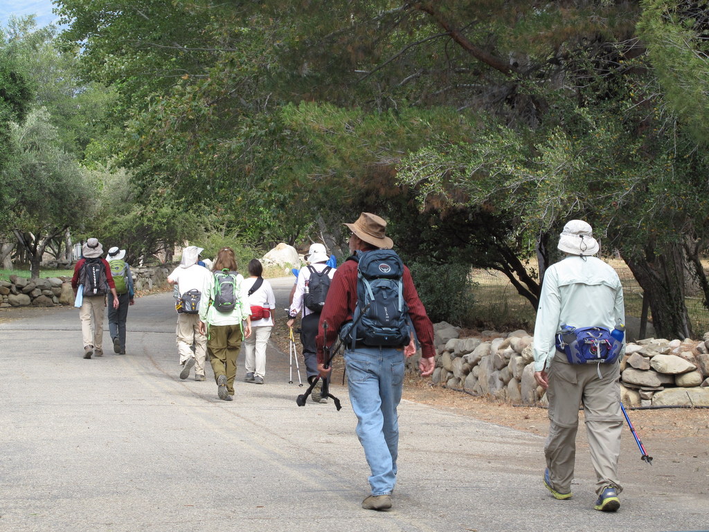
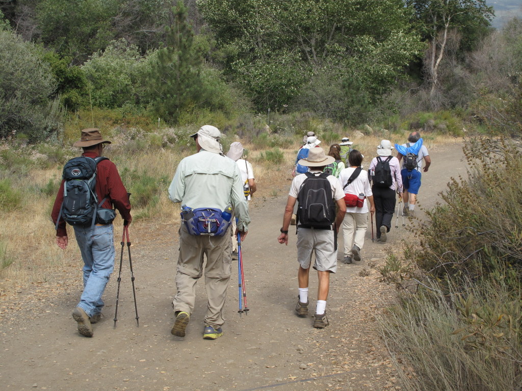
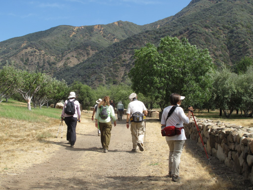
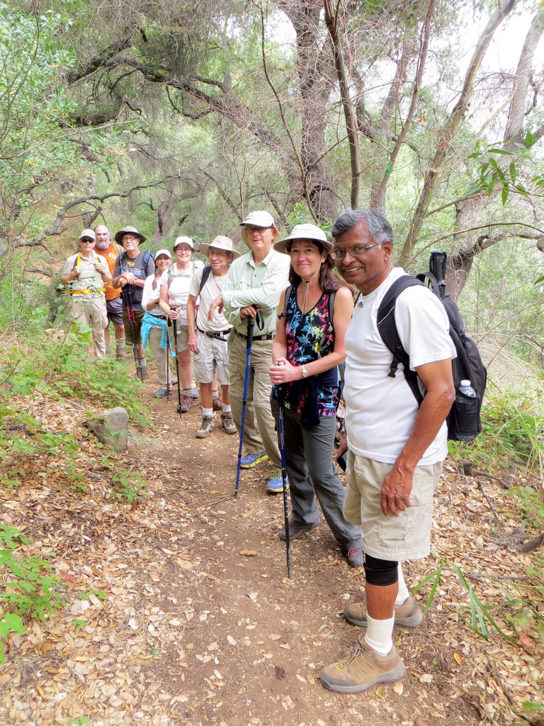
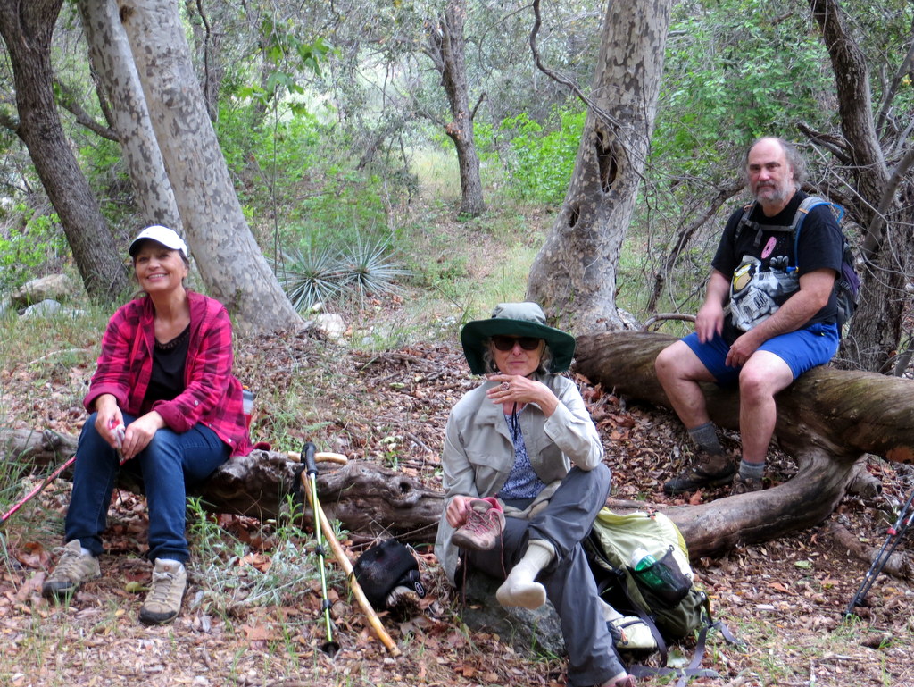
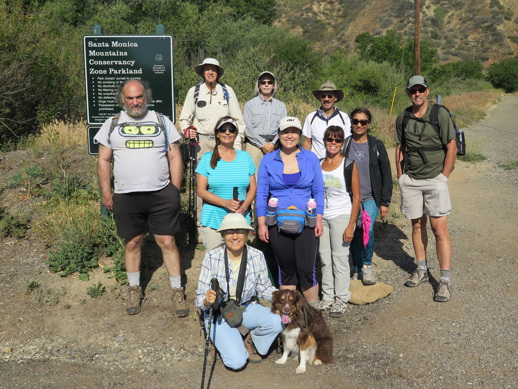
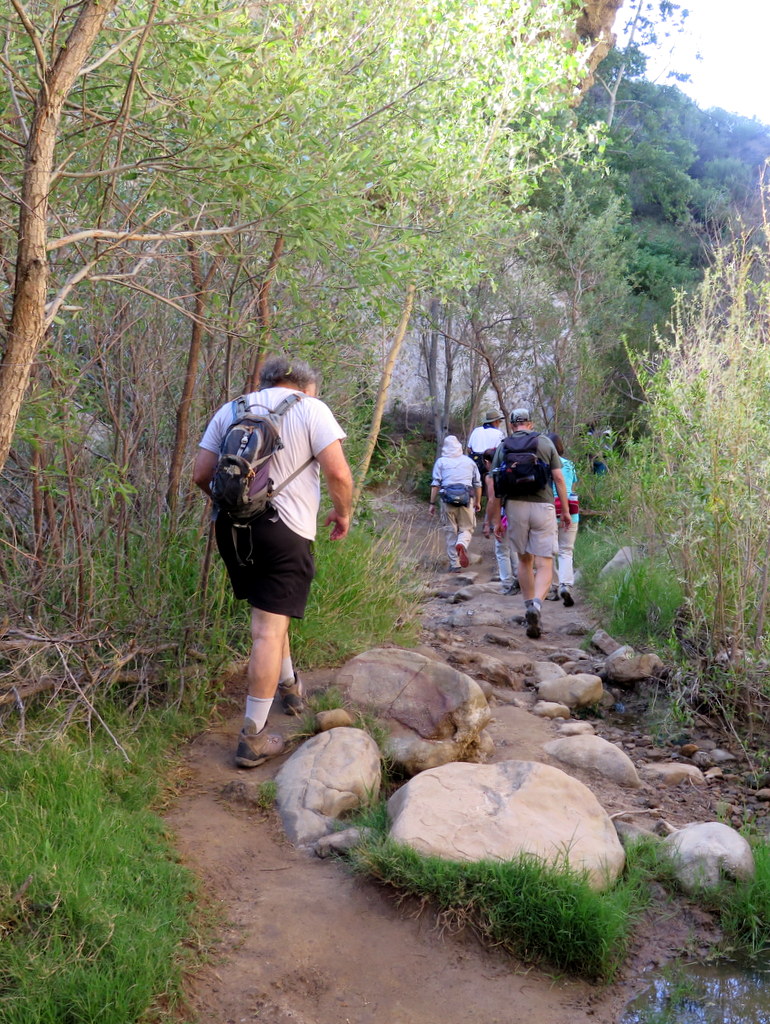
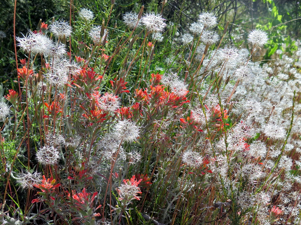
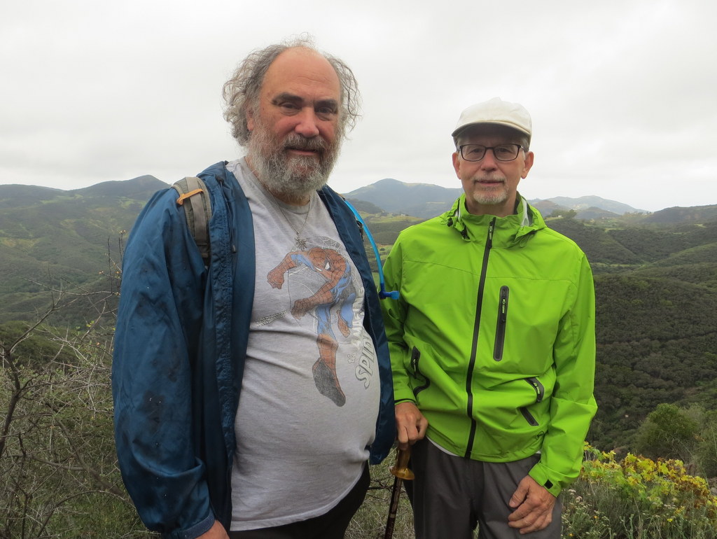
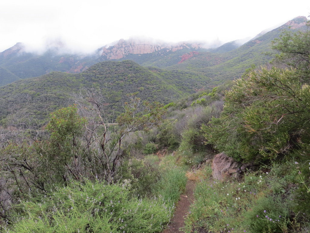
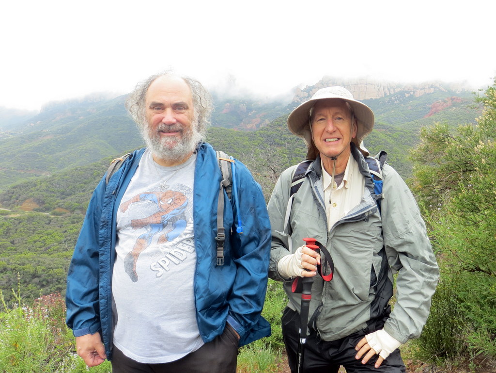
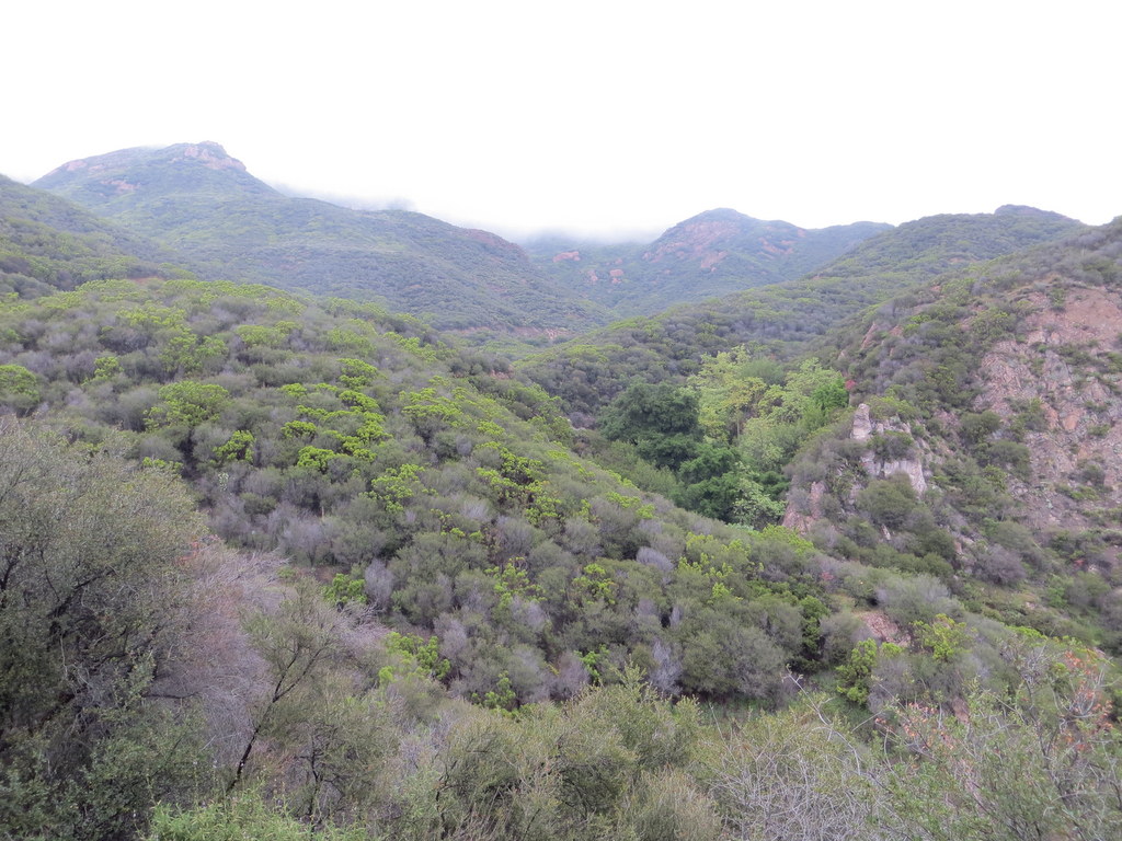
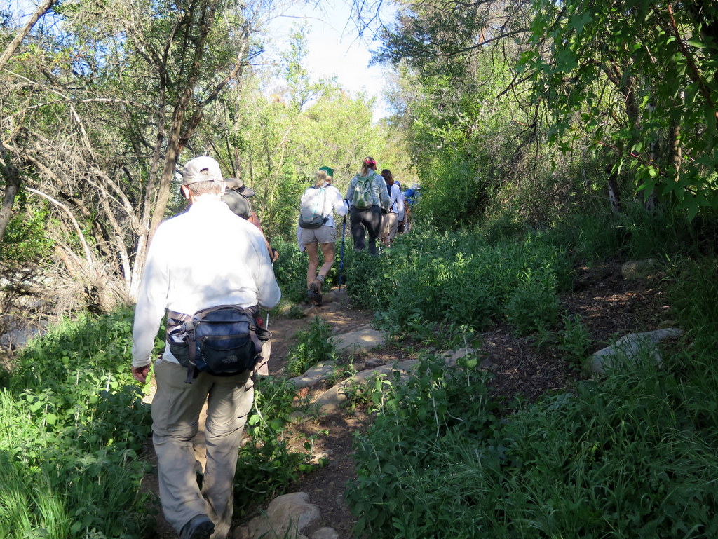
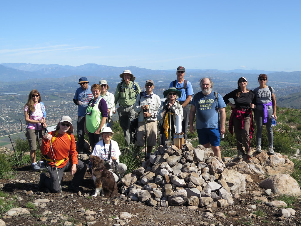
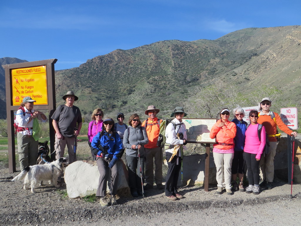
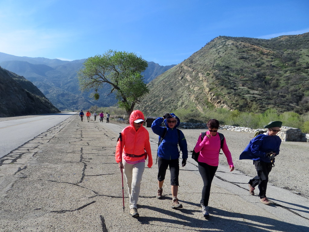
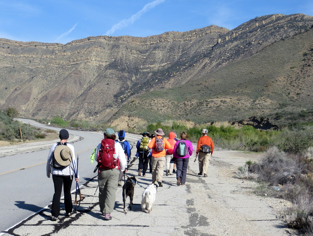
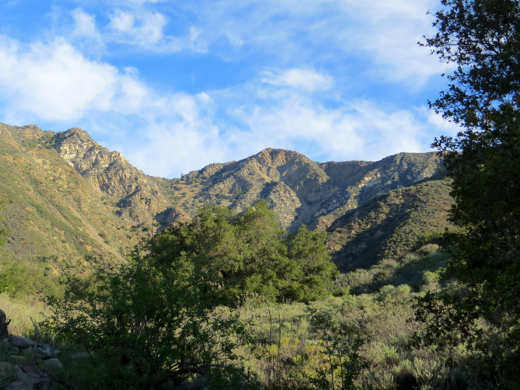
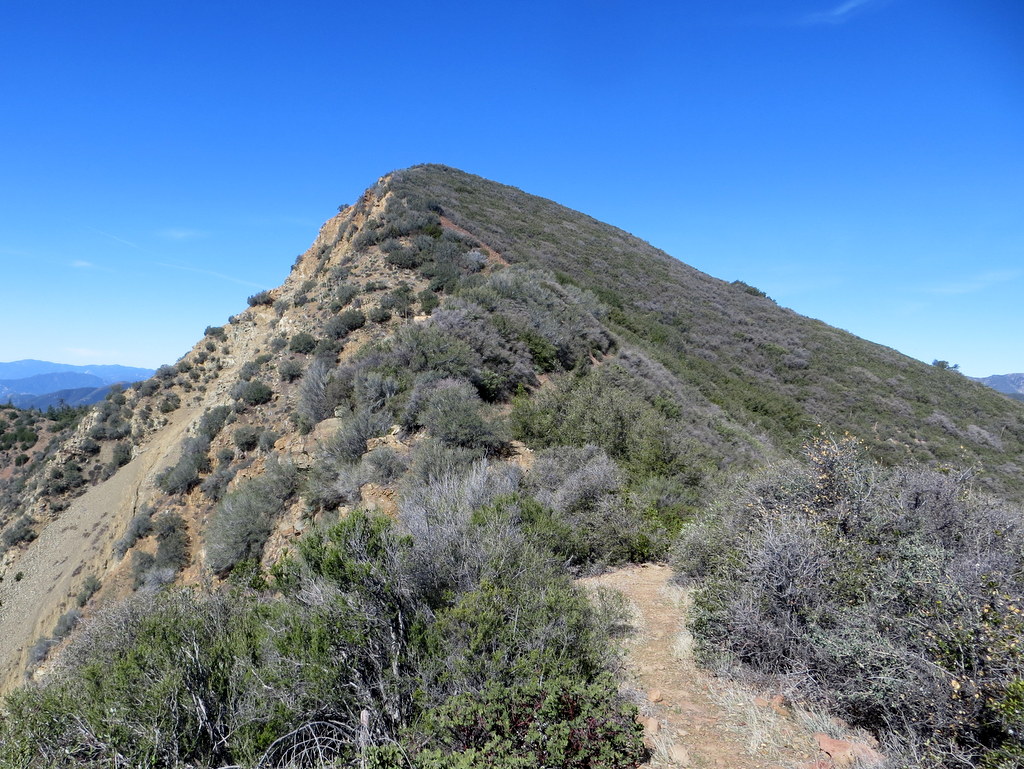
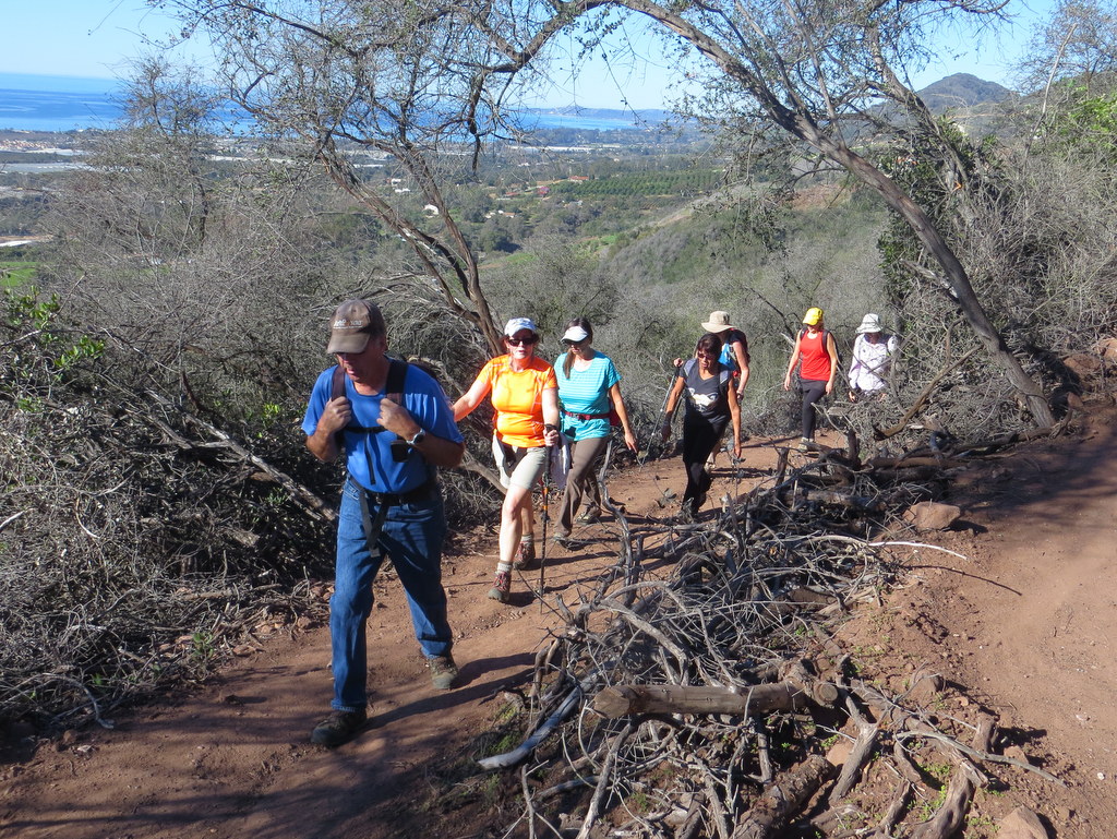
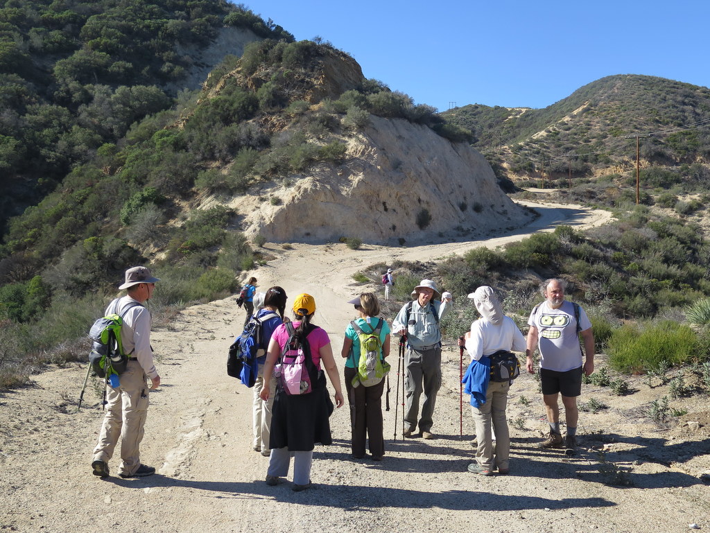
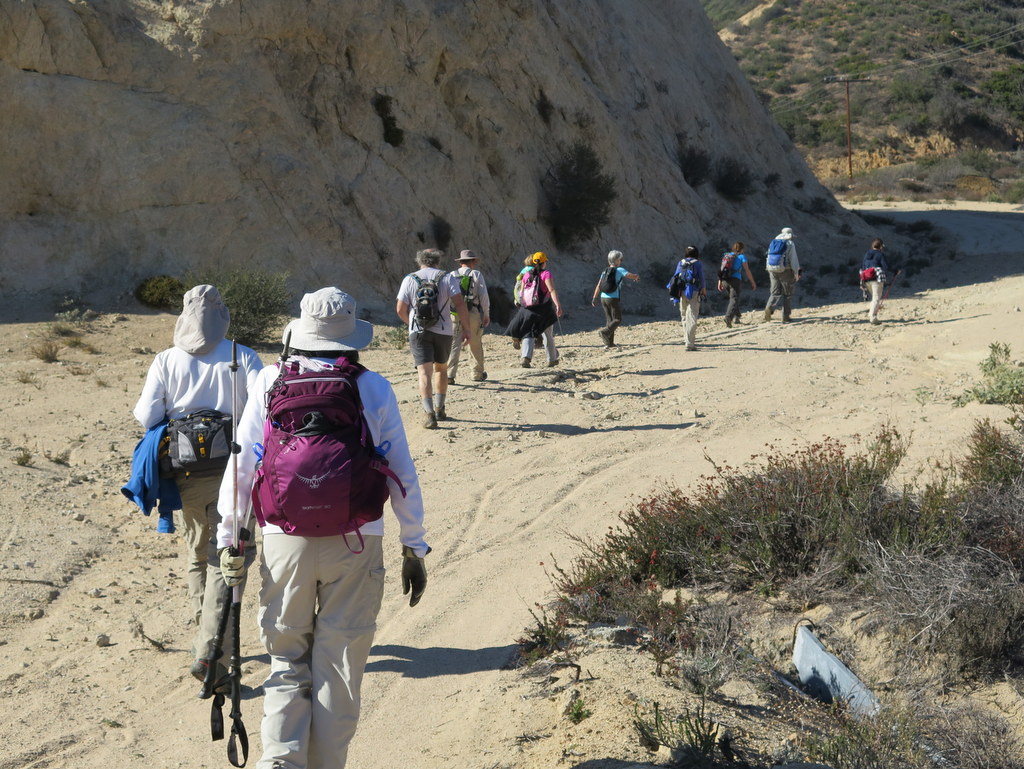
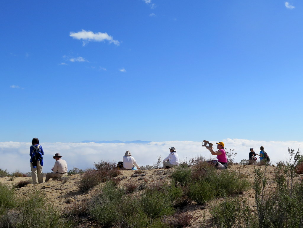
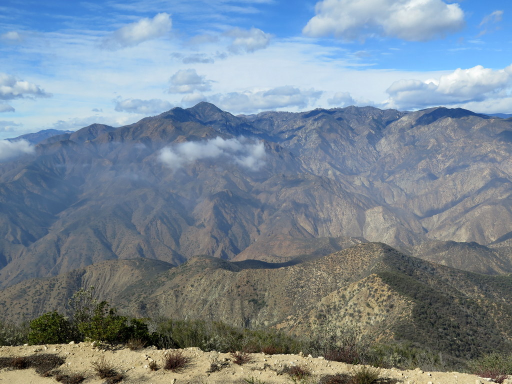
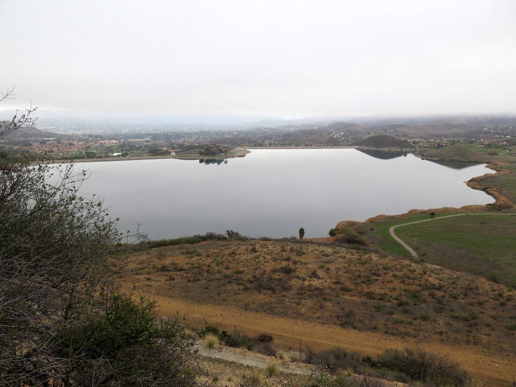
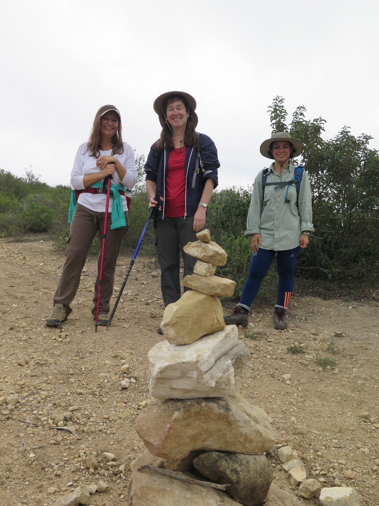
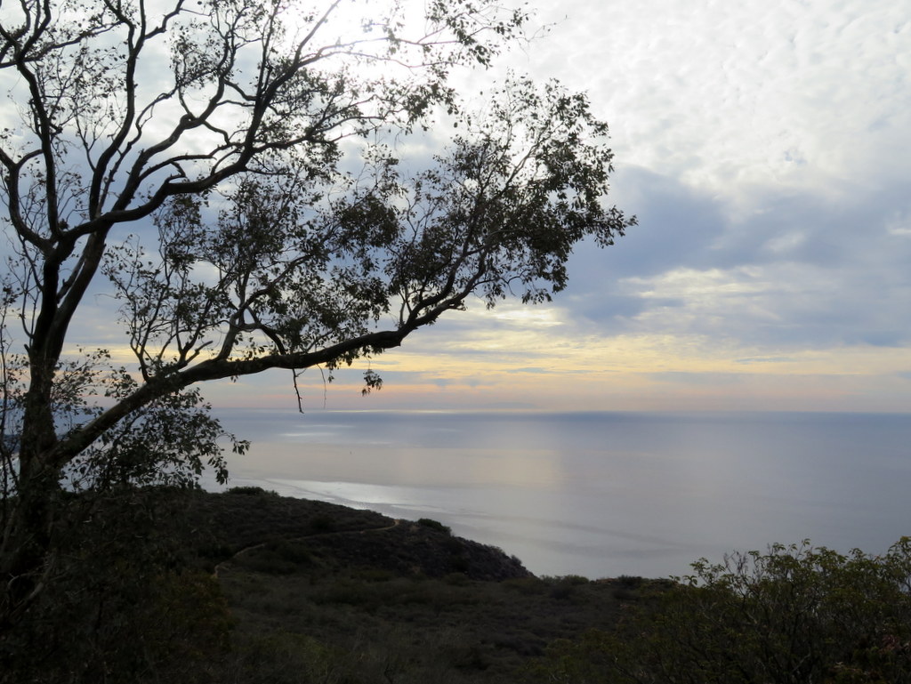
December 31st – Las Llajas Trail to the Shovel

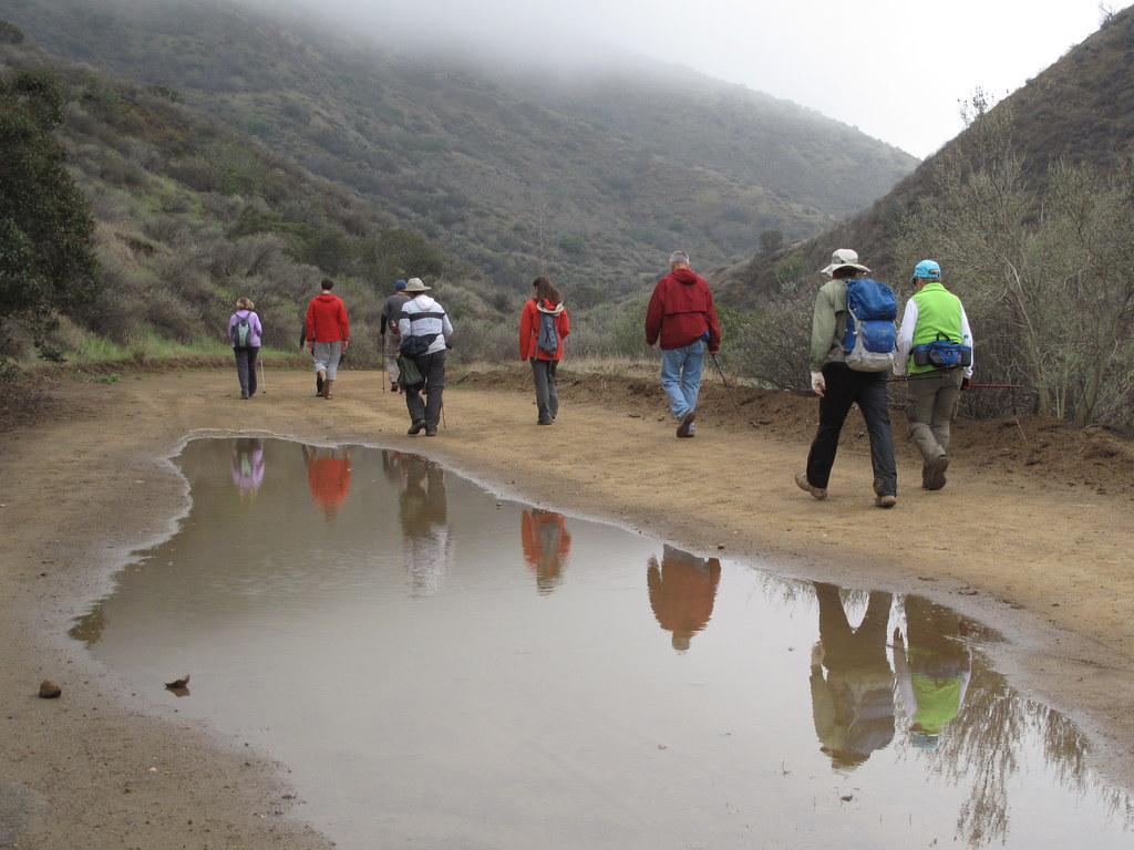
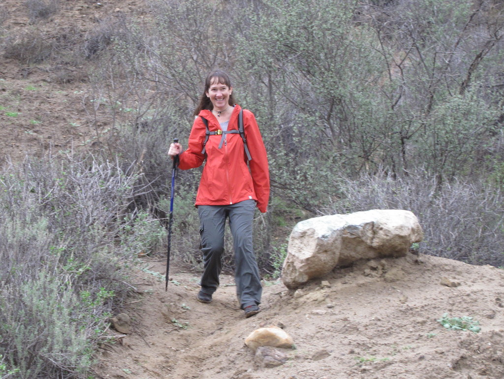
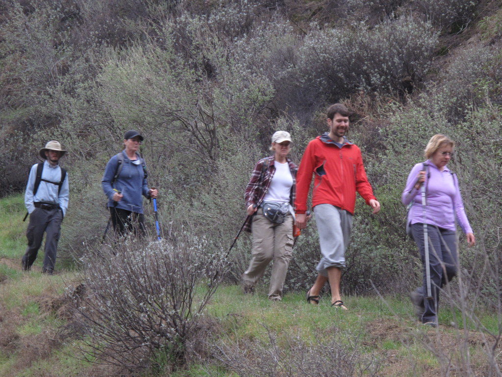
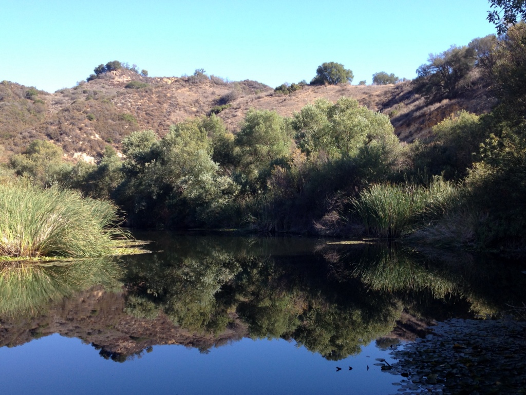
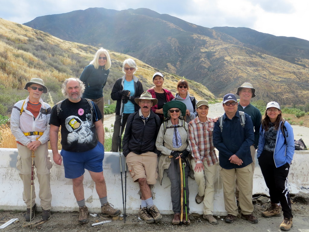
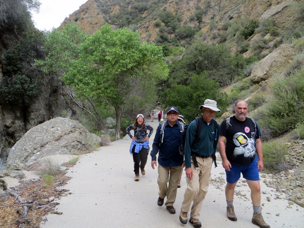
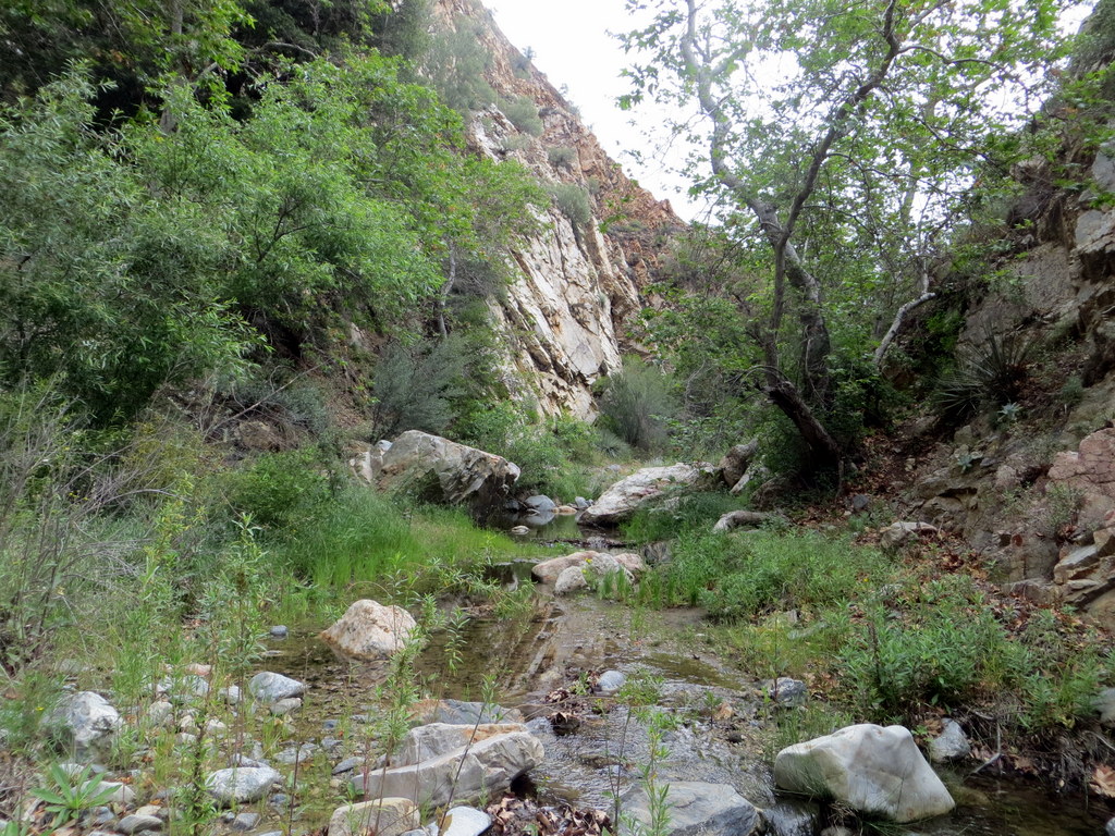
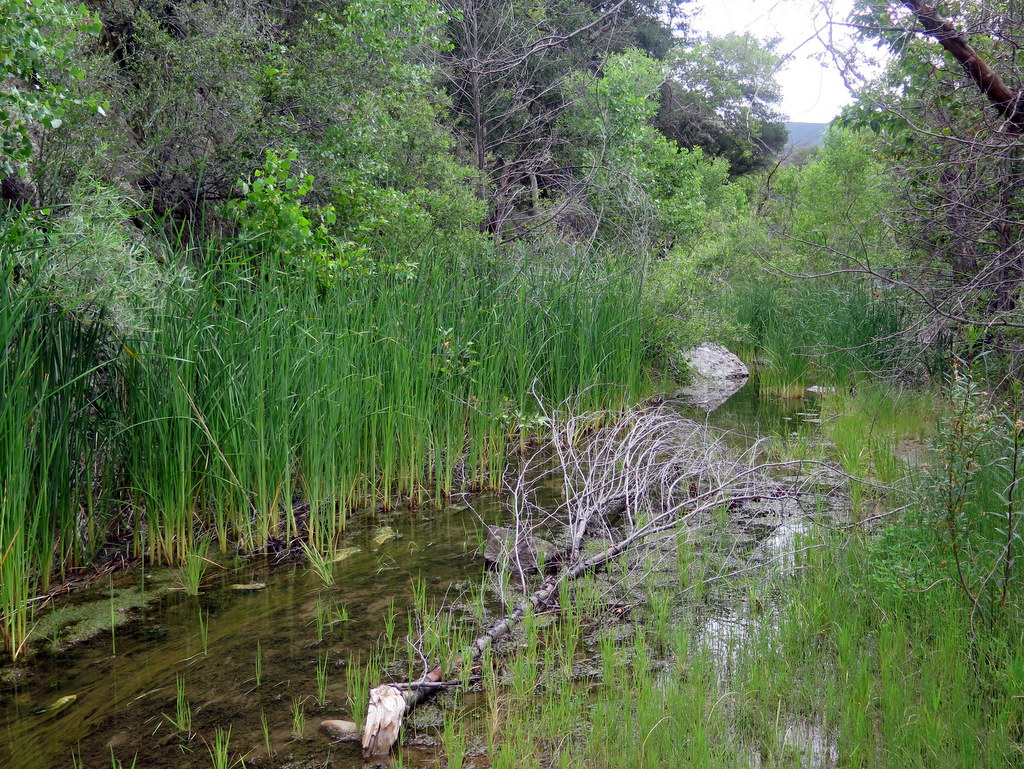
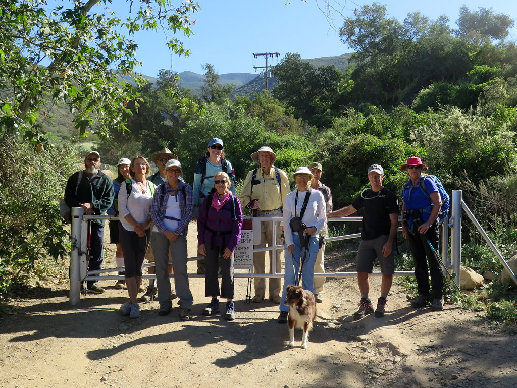
Despite the possibility of rain, seventeen hikers met at the Las Llajas Canyon trailhead on Evening Sky Drive in Simi Valley on a cool last-day-of-the-year morning. We began our hike under low-hanging cloud cover by descending a short paved section of road into the canyon bottom; from there we followed the wide well-graded dirt road upstream to the north 1.8 miles, crossing the creek three times (there was actually some water at each crossing thanks to recent rain).
show more
show less
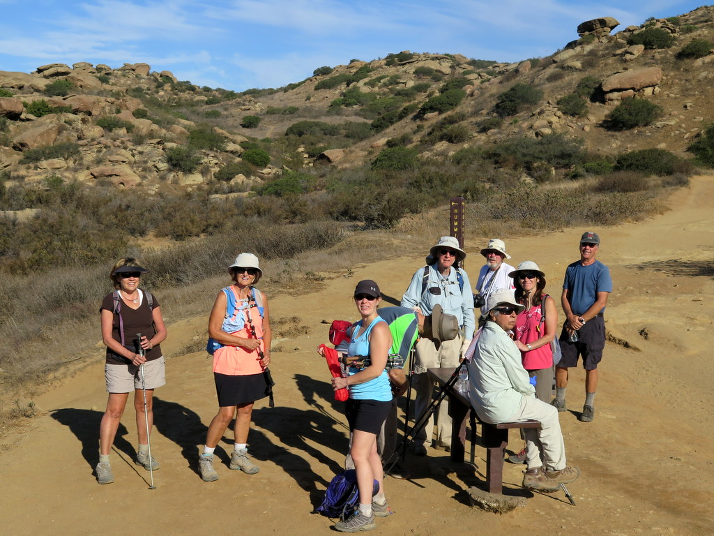
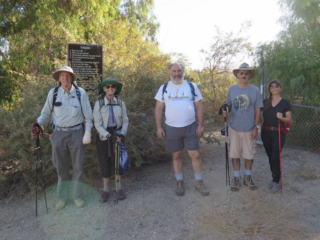
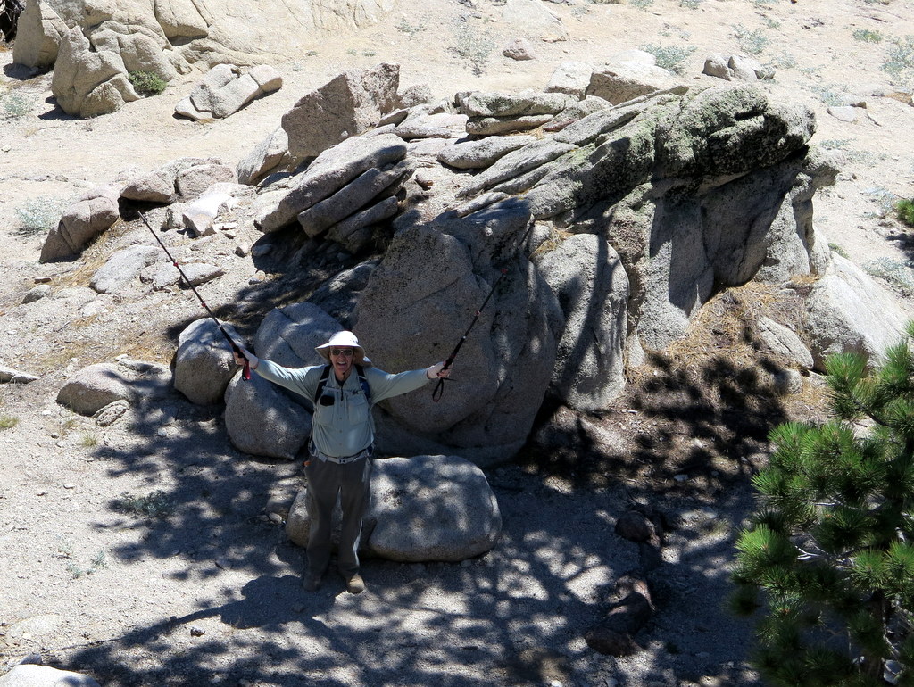
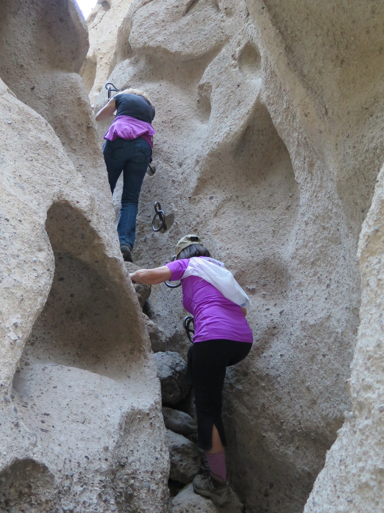
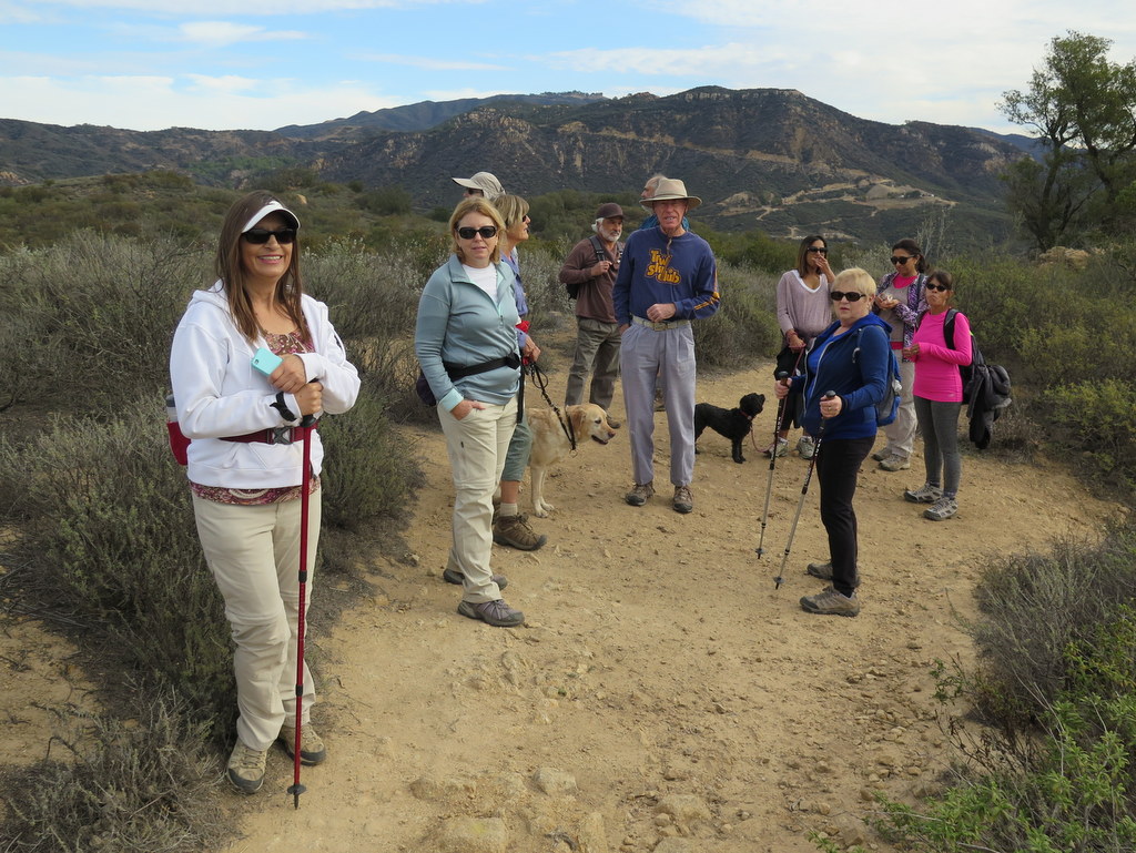
December 24th – Sage Ranch Loop
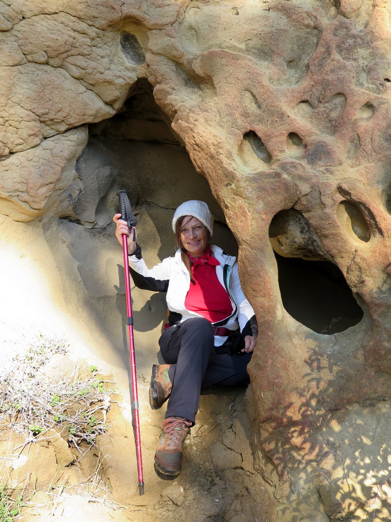
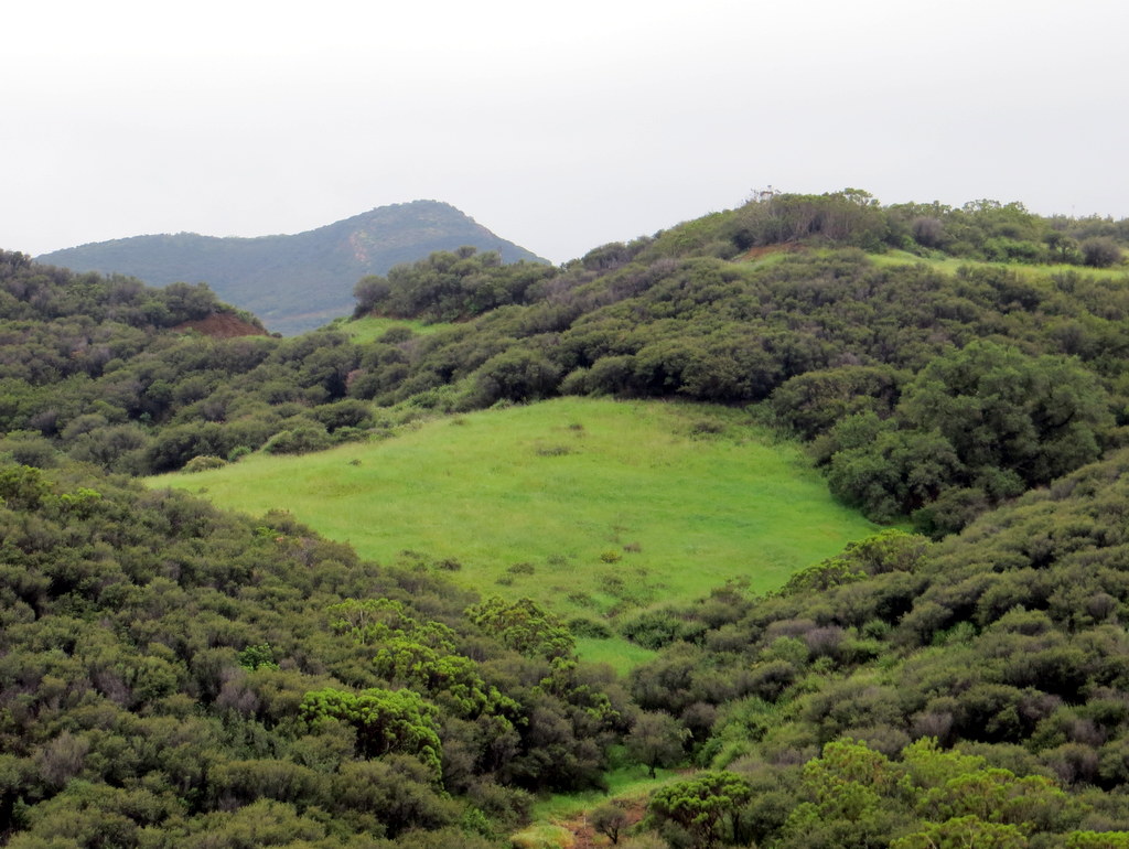
4 hikers arrived at the parking lot in Sage Ranch Park in the Simi Hills on a chilly-but-pleasant early-winter morning under a clear blue sky. The 625-acre park is located just north of the Santa Susana Field Laboratory (SSFL) (aka Rocketdyne/Boeing) at an elevation of 2,000’. It is chock-full of world-class sandstone rock formations and has lots of picnic tables shaded by large oak trees.
show more
show less
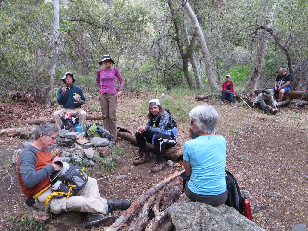
December 10th – Tierra Rejada Park Exploratory Hike
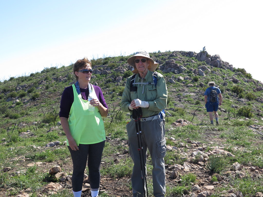
16 hikers met at Stargaze Park in Simi Valley on a chilly, foggy late autumn morning. After assembling and preparing for very light drizzle, we headed north to the trailhead entrance into Tierra Rejada “Park.” We immediately noticed some heavy equipment being used to grade a portion of the hillside on the west (uphill) side of the recently restriped asphalt path that is apparently an extension of the bike trail that runs along the Arroyo Simi [the reason for the grading was not evident].
show more
show less
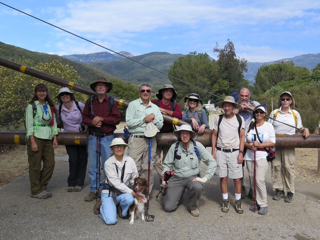
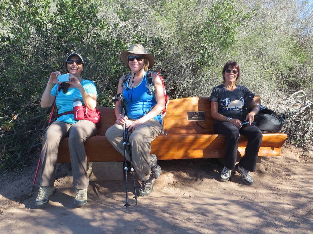
December 2nd – Christmas Holiday Party Potluck
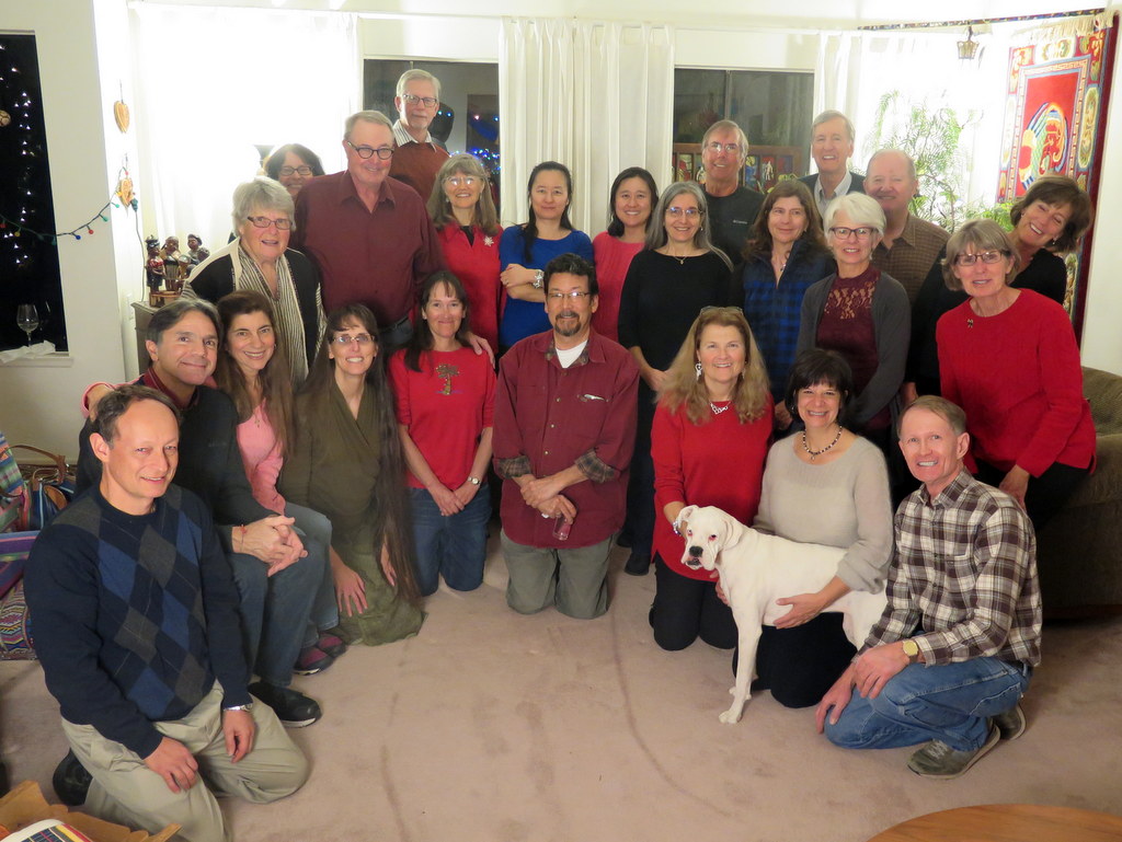

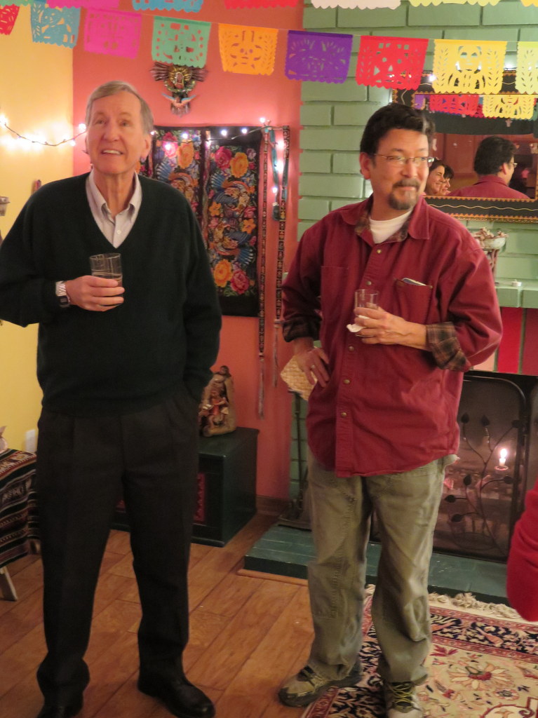


Ursula Christie again welcomed us into her beautifully decorated home for our annual potluck holiday party. A wide variety of foodstuffs accumulated on the tables as a steady stream of “Trail Blazers” arrived to partake in the festivities. The participants quickly took advantage of the rare opportunity to spend non-hiking time with “old” friends – some of whom they had not seen since last year’s party – as small conversational groups formed and re-formed to trade news of each other’s recent activities and discuss plans for futures activities.
show more
show less
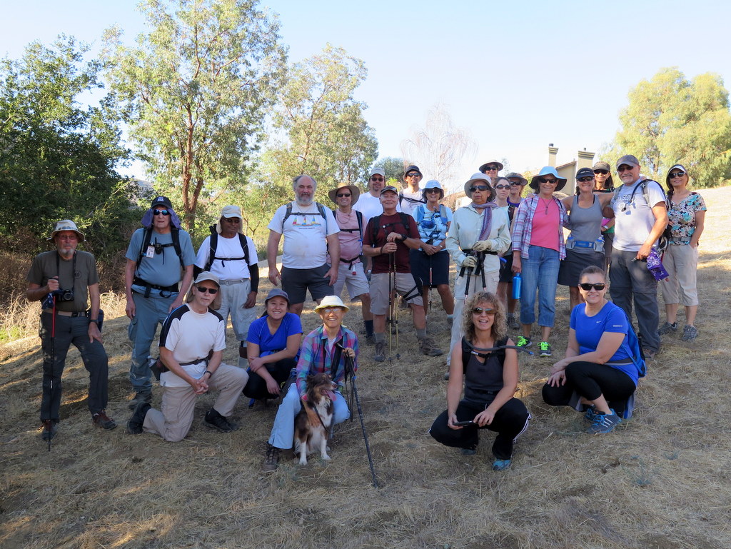
November 26th – Tapo Canyon Open Space
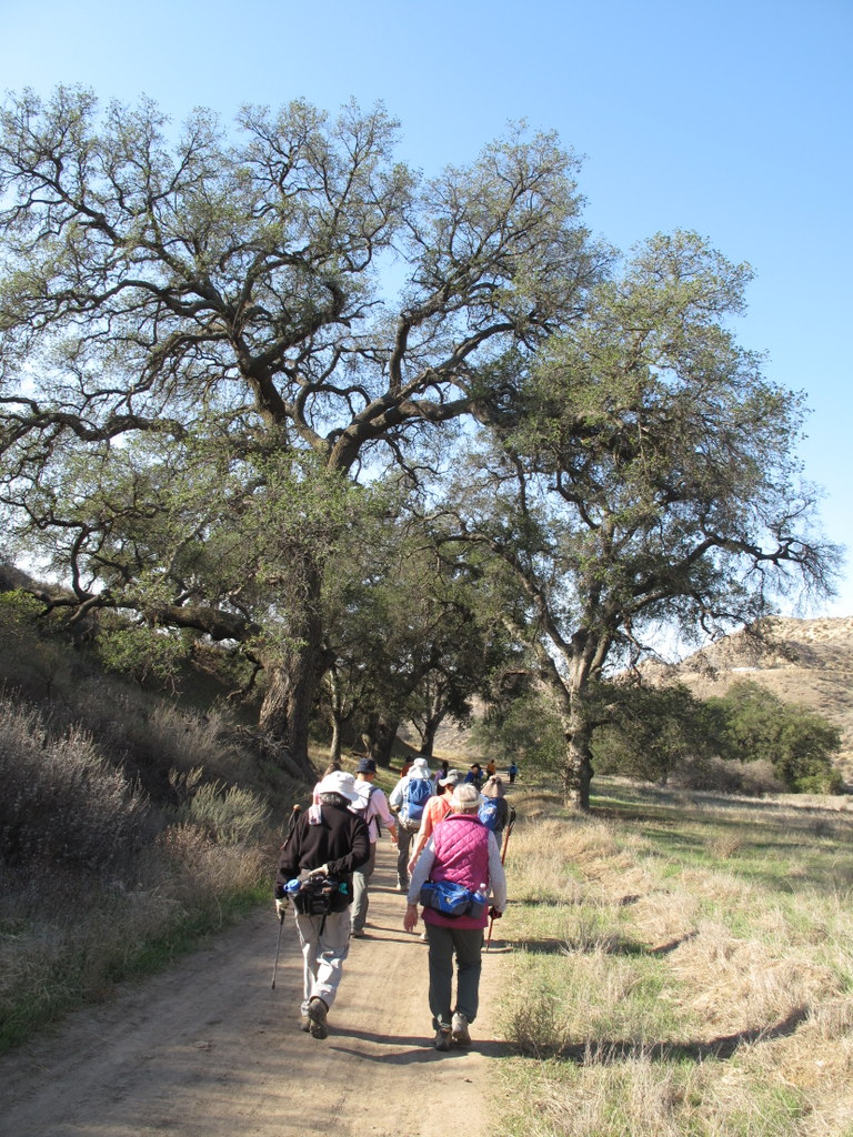
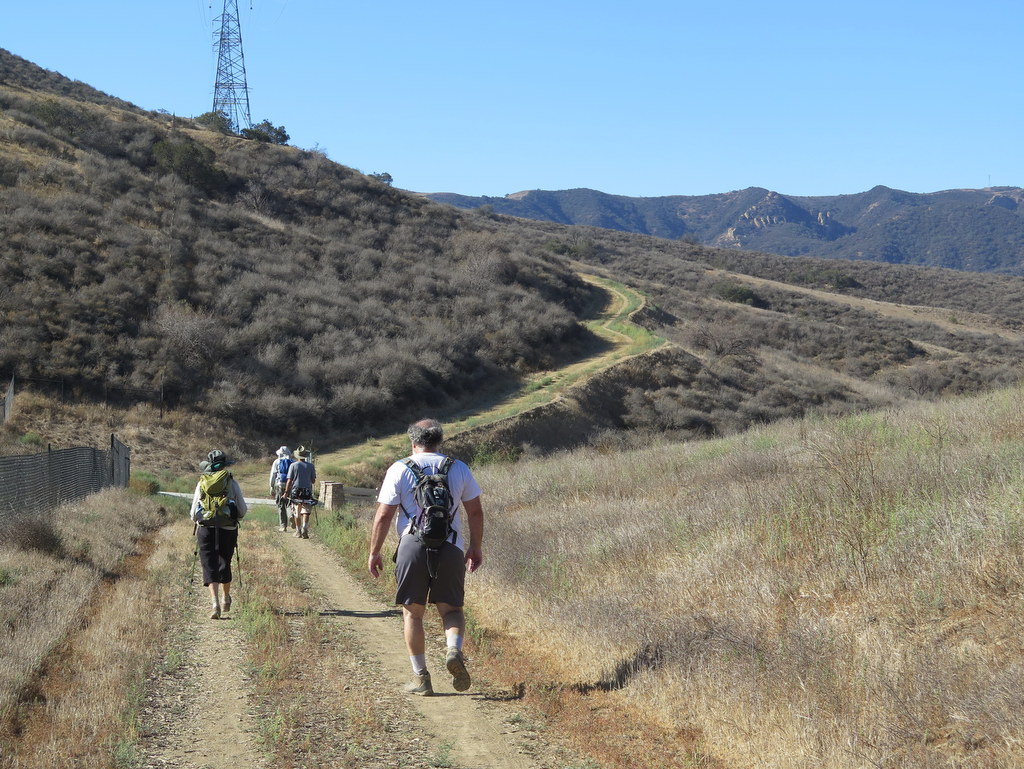
24 hikers met at the trailhead (1,145’) of the Tapo Canyon Open Space Trail (T23) in Simi Valley on a chilly autumn morning to work off some of the “Thanksgiving-calories” we had consumed a couple of days before. We headed northward along the nearly flat dirt road which was bordered with new bright-green grass and numerous oak trees that have so far survived the ongoing drought.
show more
show less
November 12th – Ferndell Park to Mt. Hollywood and Mt. Lee
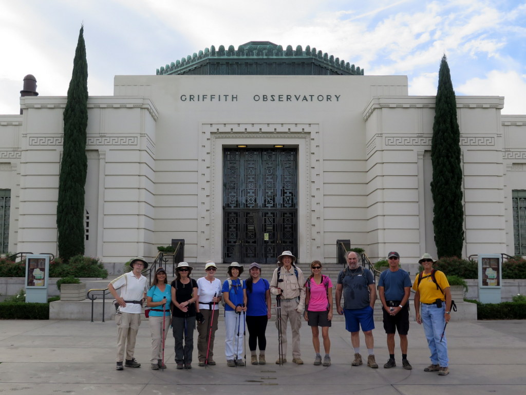
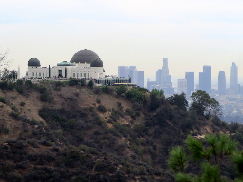
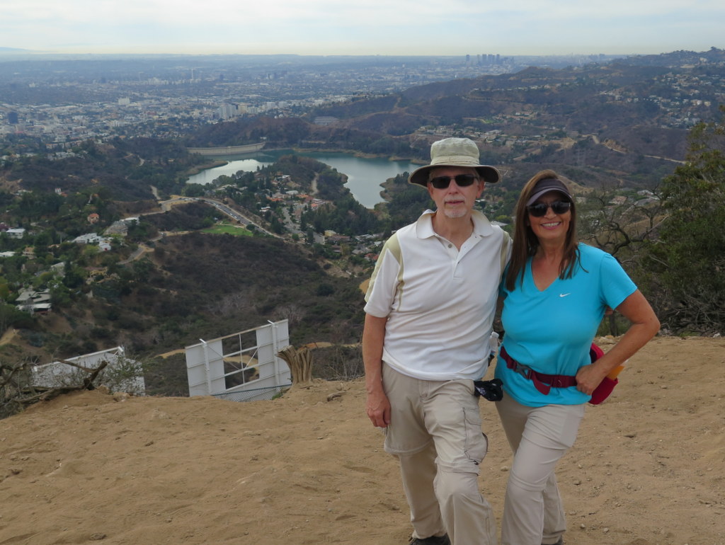
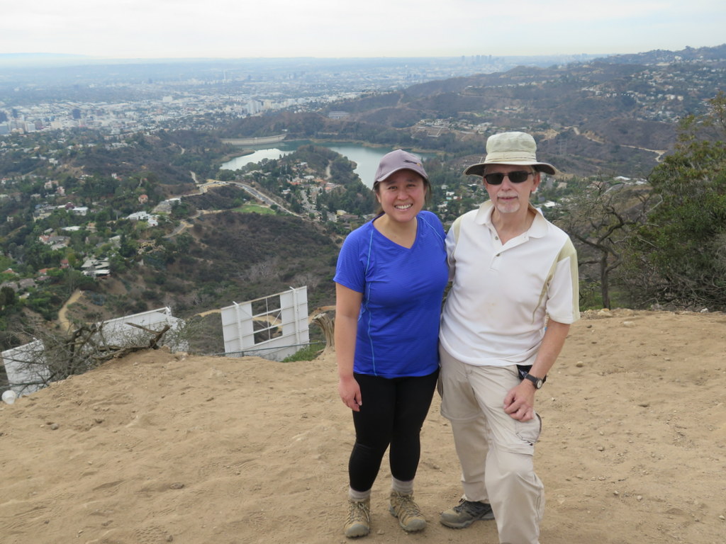
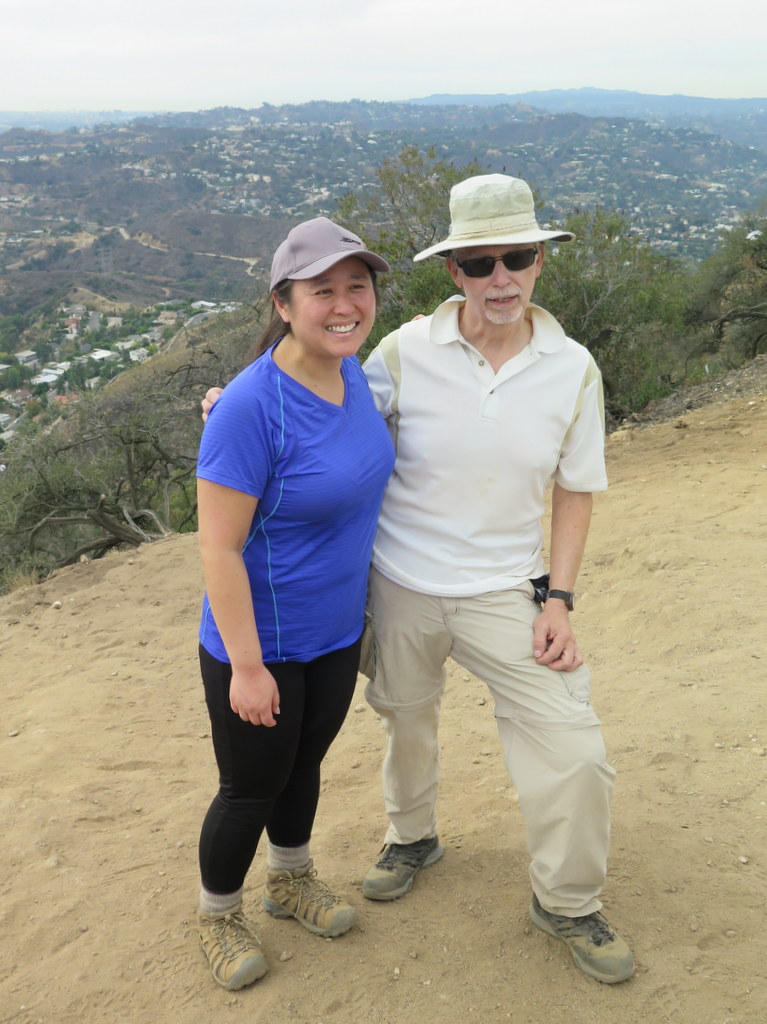
12 hikers carpooled to the Ferndell area (600’) near the southwest corner of Griffith Park on a pleasant autumn morning. Our hike began on a well-shaded trail dominated by large oak and sycamore trees, but soon began climbing northward on the busy East Observatory Trail (a dirt fire road), reaching the Griffith Park Observatory (1,131’) in a mile or so.
show more
show less
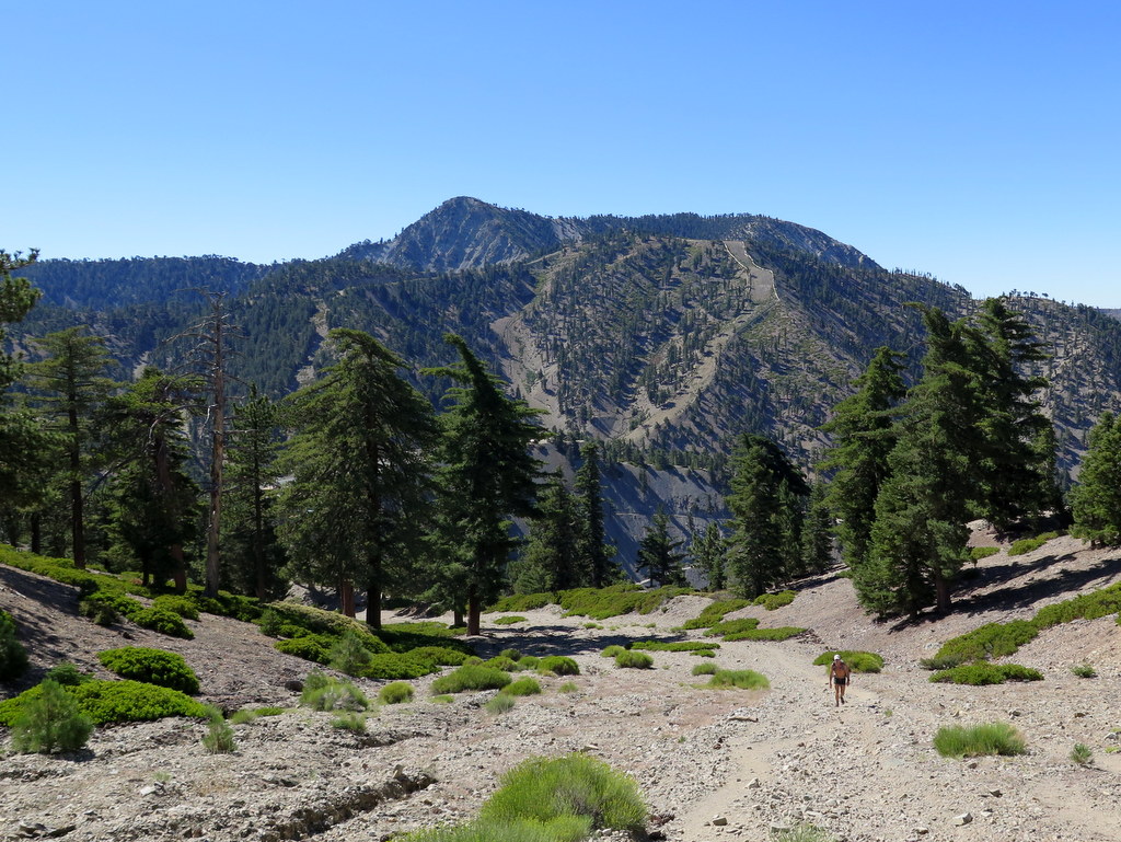
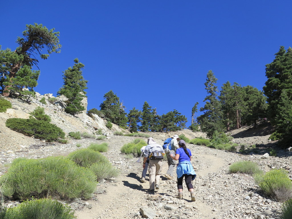
November 5th – Cloudburst Summit to Buckhorn Campground via Cooper Canyon
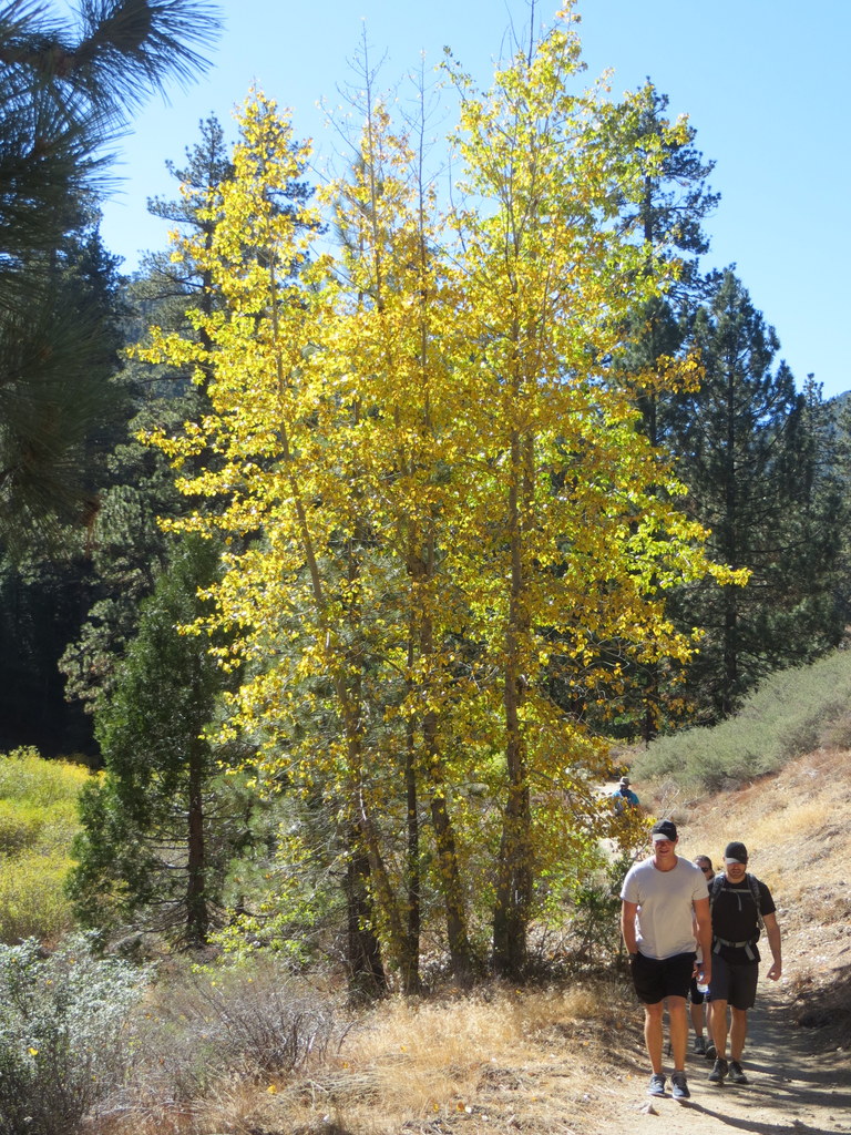
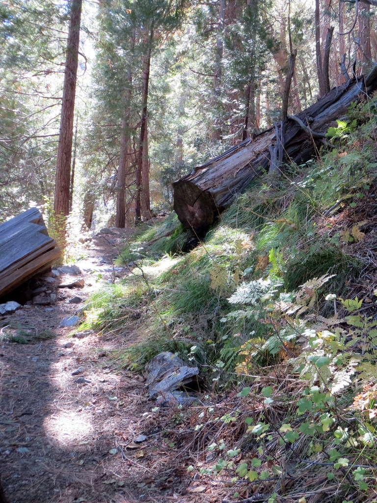
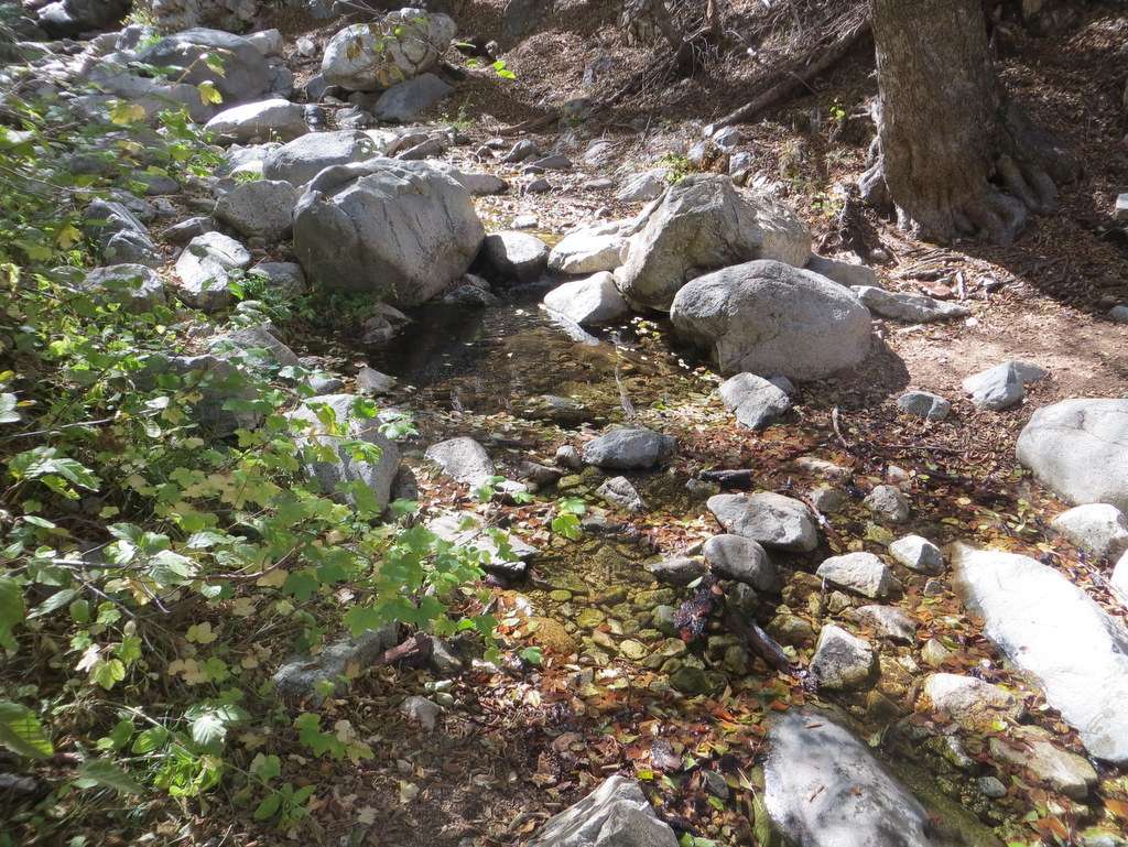
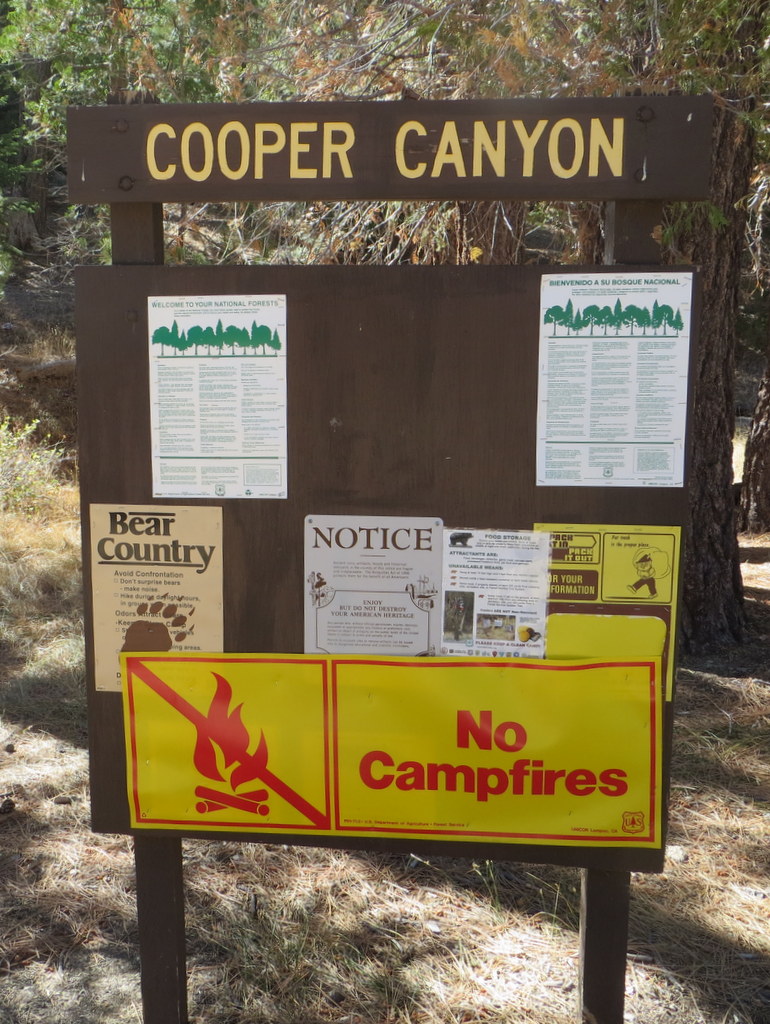
On a lovely autumn morning, ten hikers carpooled to Cloudburst Summit (7,018’) in the San Gabriel Mountains where our one-way hike was to begin. After positioning a shuttle vehicle at the hike’s end in the Burkhart-Trail-trailhead parking lot at the north end of the Buckhorn Campground, we began hiking northward along the section of the Pacific Crest Trail that descends into Cooper Canyon.
show more
show less
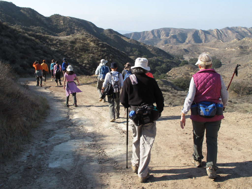
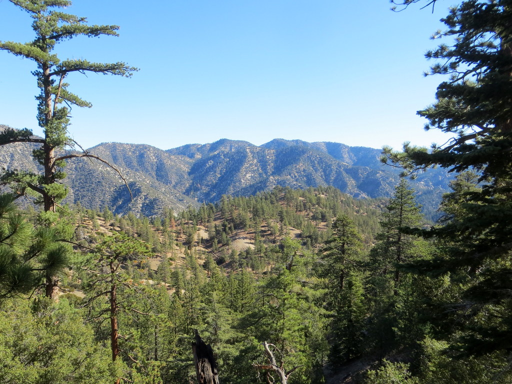
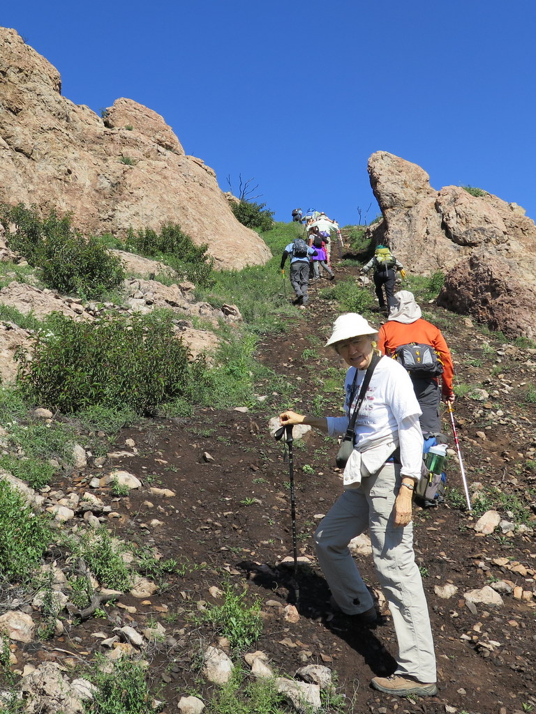
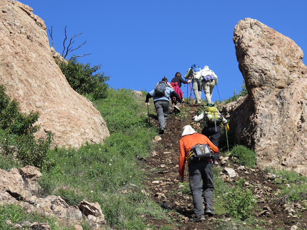
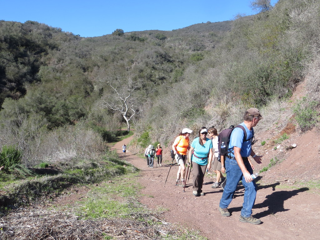
October 29th – Simi Peak from King James Court via China Flat
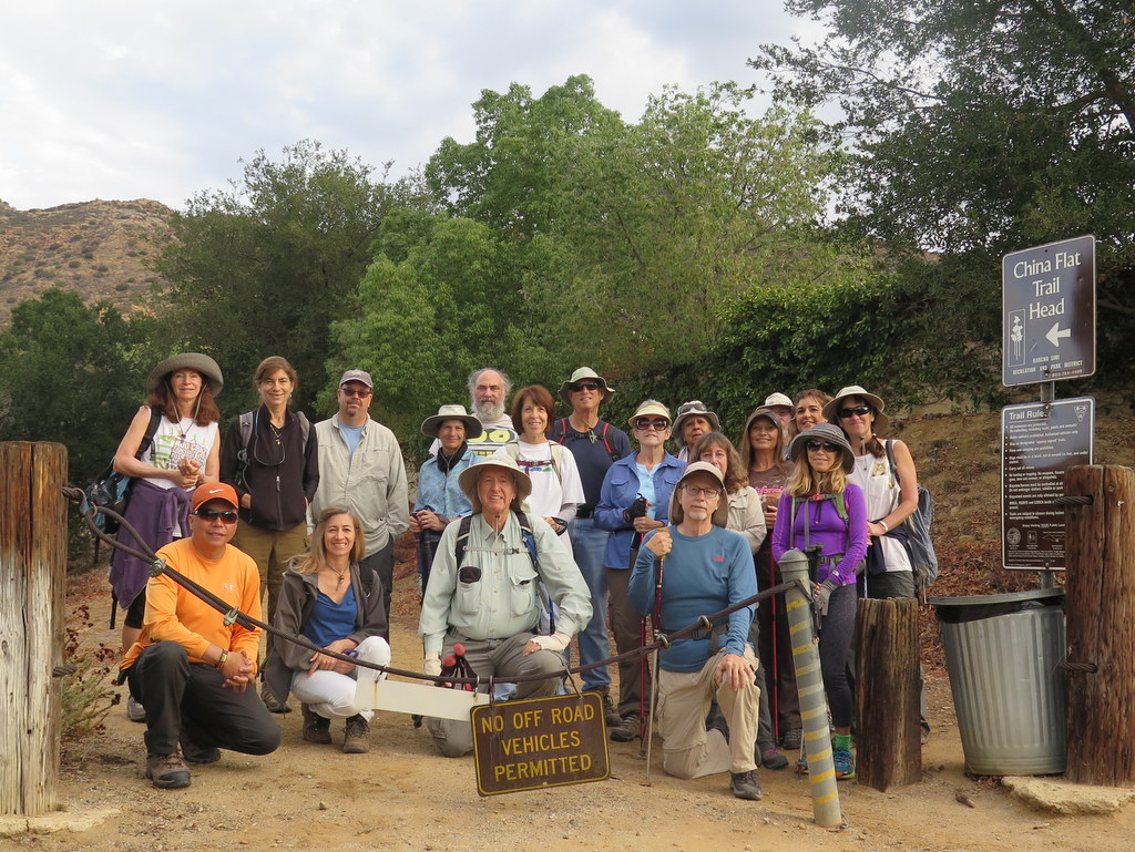
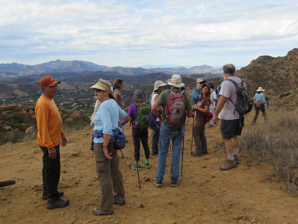
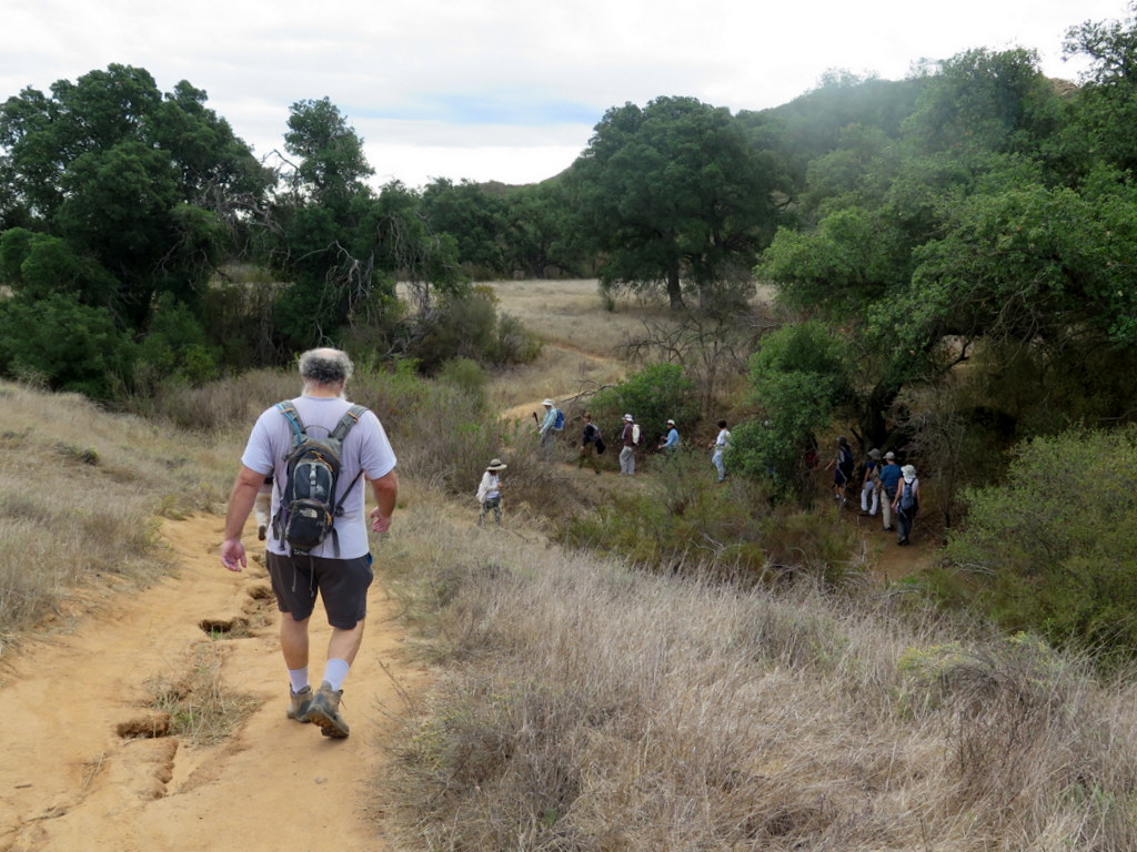
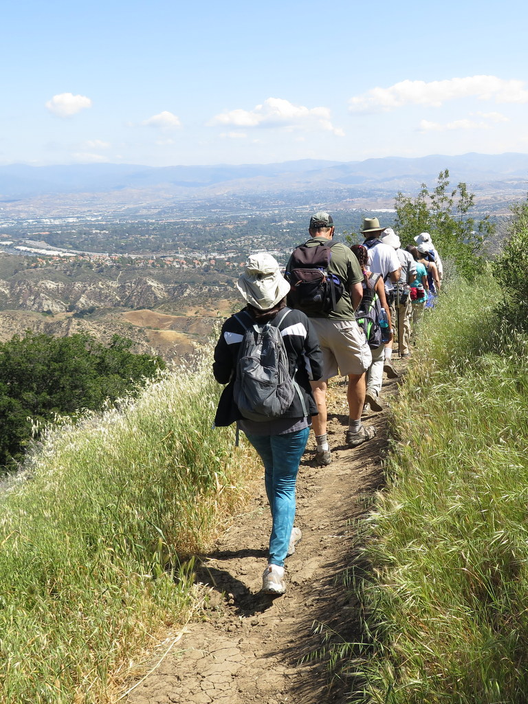
20 hikers met at a trailhead on Lindero Canyon Road (near King James Court) in Oak Park on a beautiful clear-and-cool autumn morning. Our hike in the Simi Hills began along a single-track trail, but soon continued along an old dirt-and-rock road as it rose steadily up the south side of the mountain, providing ever-expanding views to the south.
show more
show less
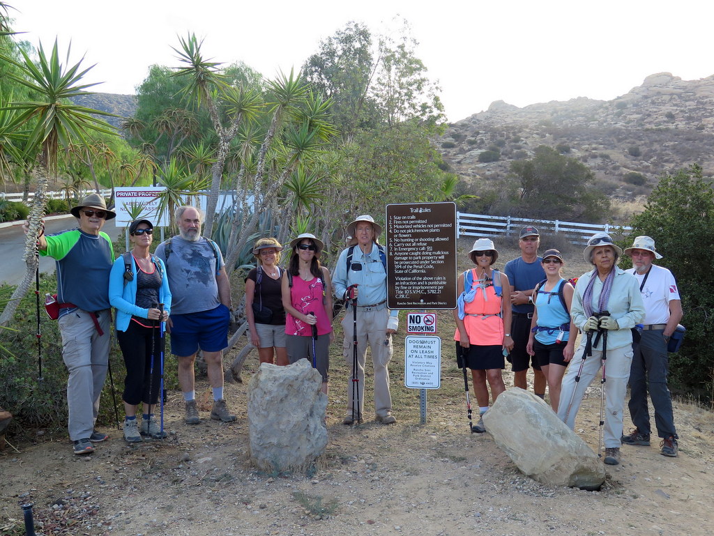
October 22nd – Work Party – Wild Animal Corridor – Cache In Trash Out Event
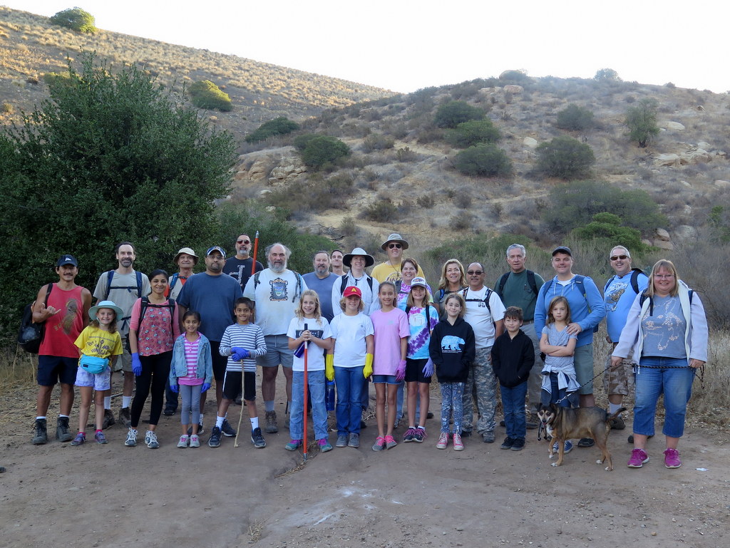
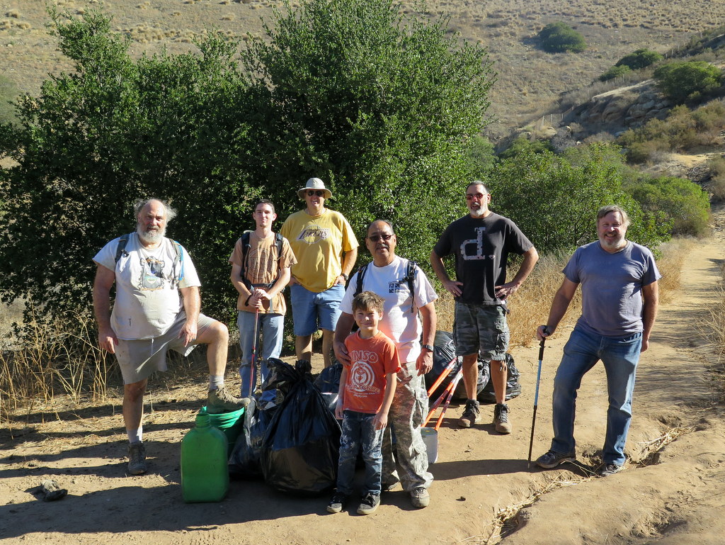
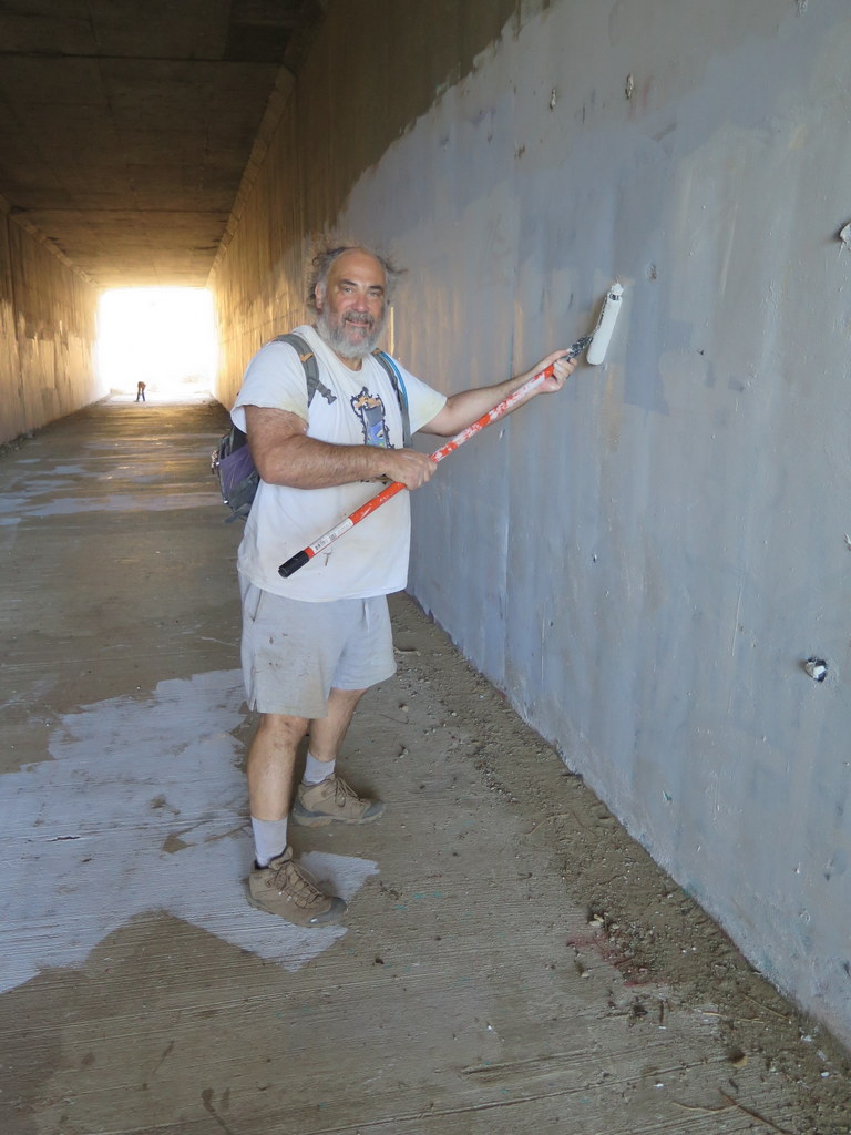
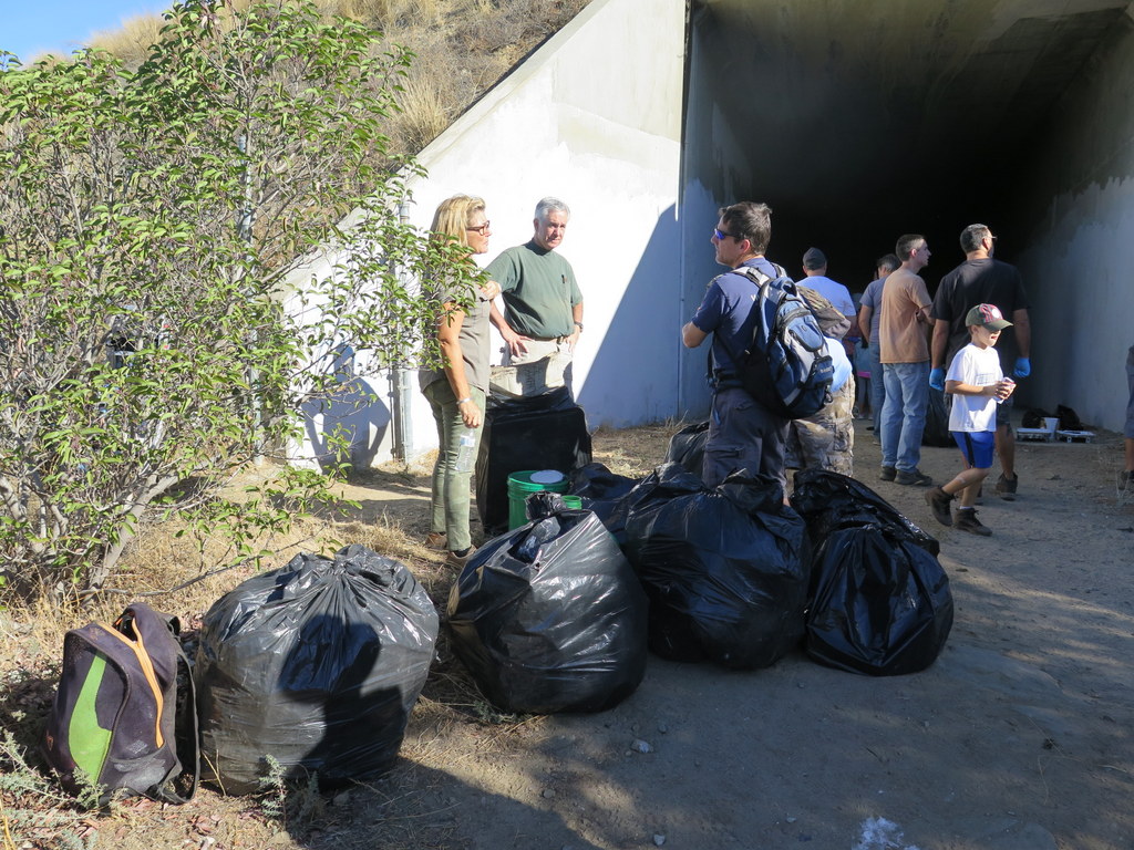
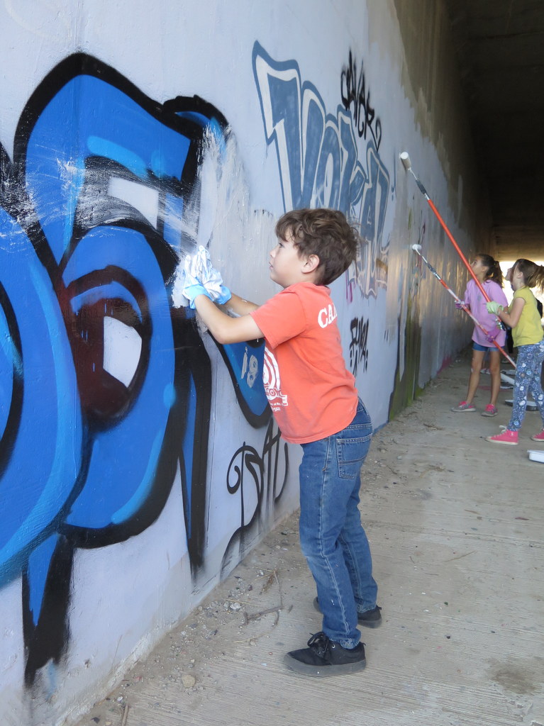
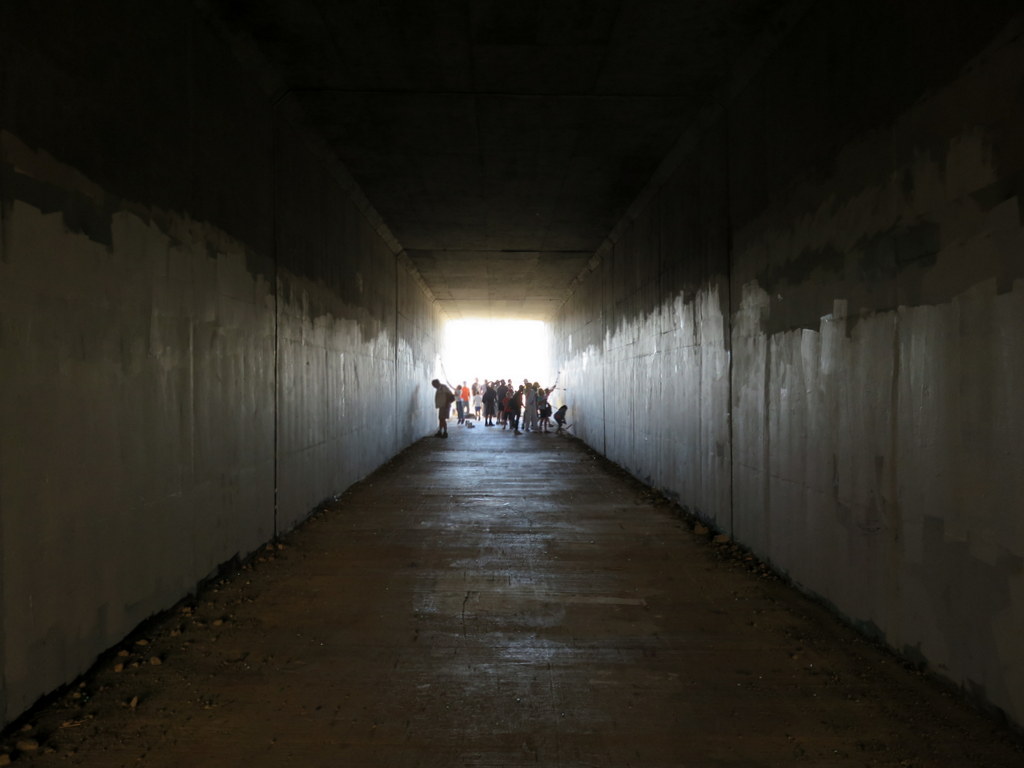
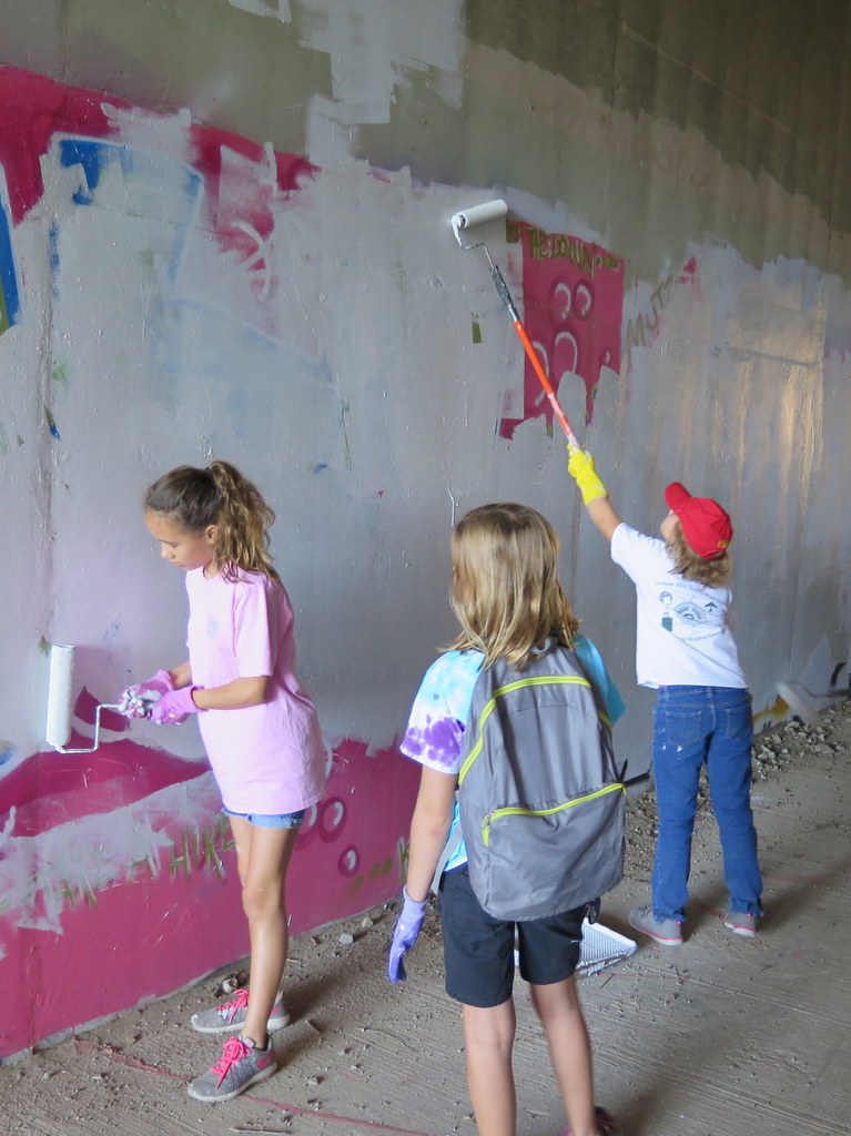
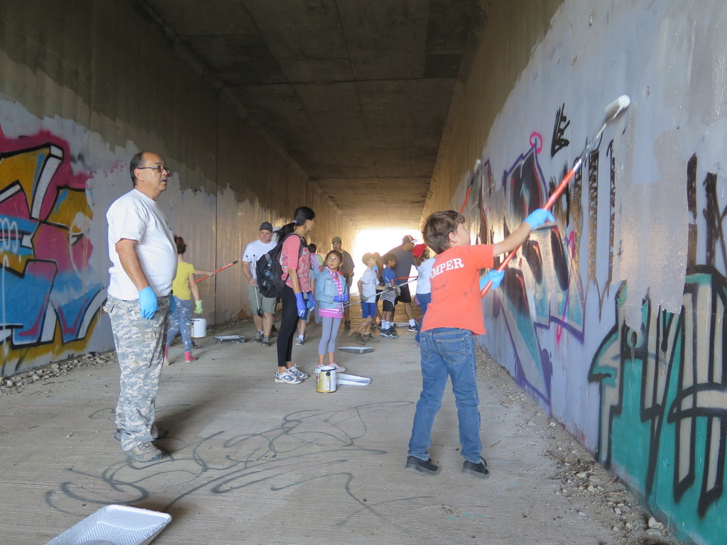
This was the eighth time the Trail Blazers teamed up with the local geocachers, to clean up the Wildlife Corridor above Corriganville Park. 32 of us removed six bags of garbage and painted over the graffiti at the Corridor. This year we had a few families and Girl Scouts in attendance too. show more show less
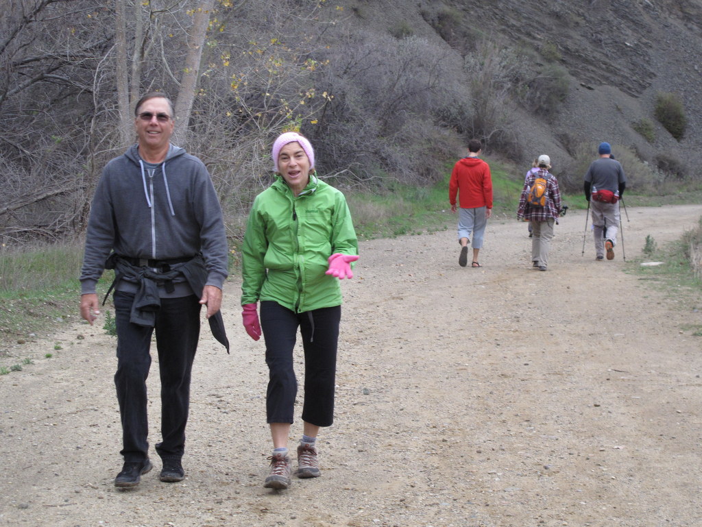
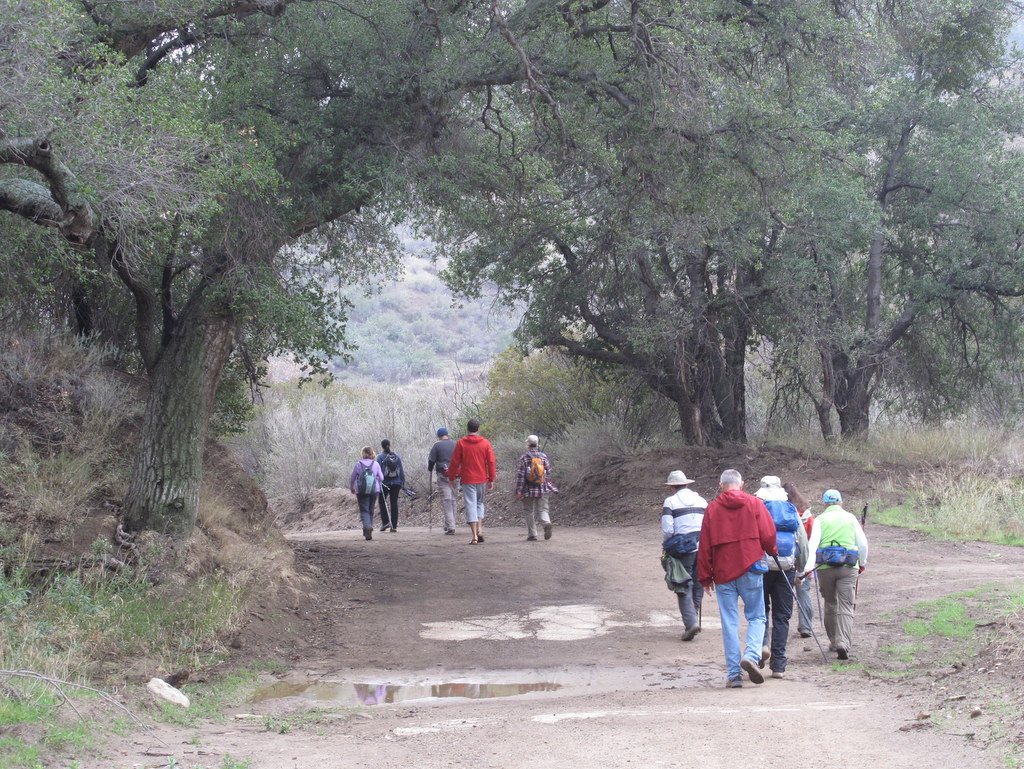
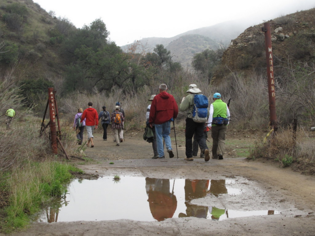
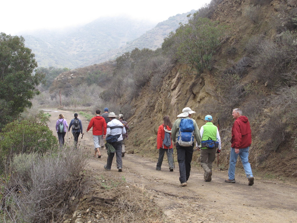
October 15th – Chivo Canyon Loop
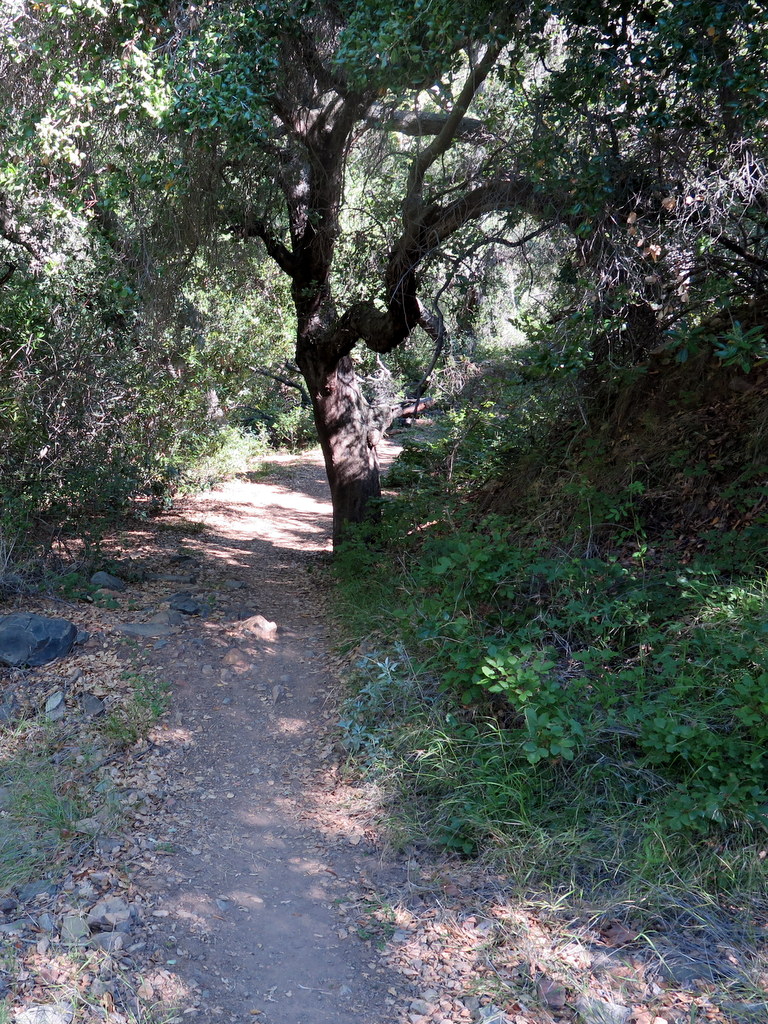
15 hikers met on a mild early-autumn morning in Simi Valley near the mouth of Chivo Canyon in the Marr Ranch Open Space in northeast Simi Valley. After we “dropped” into Chivo Canyon, we hiked northward along the old Chivo Canyon (dirt) Road to the upper end of lower Chivo Canyon (just south of the Chivo Canyon “Narrows”).
show more
show less
October 8th – The Hummingbird Trail and Rocky Peak
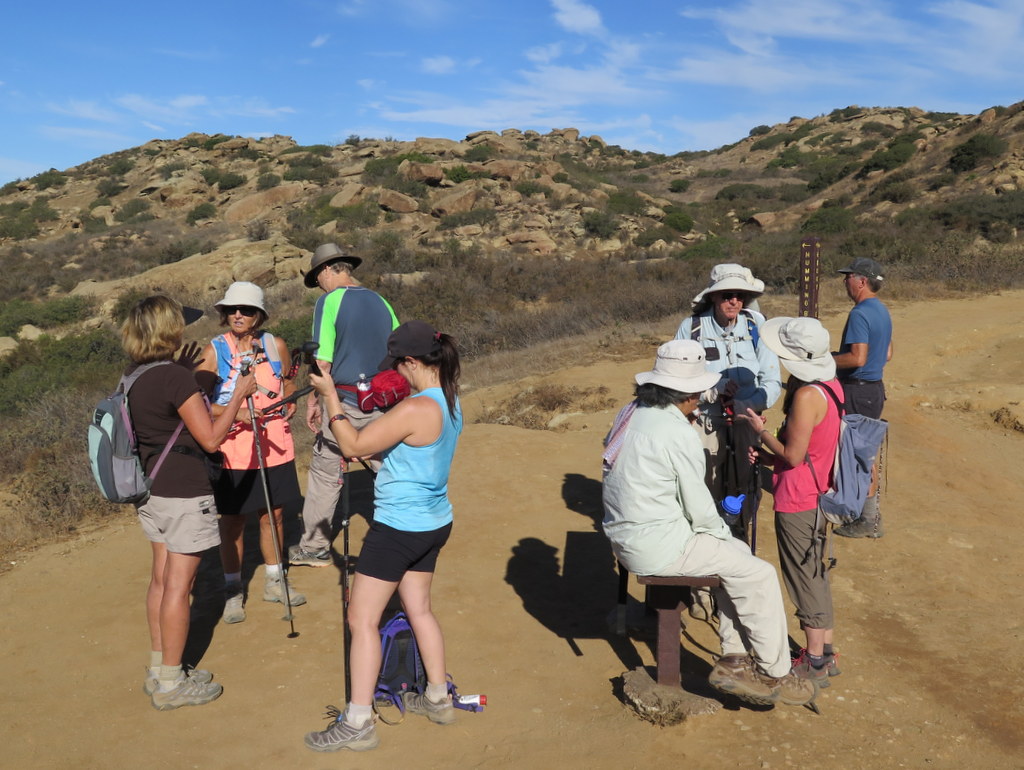
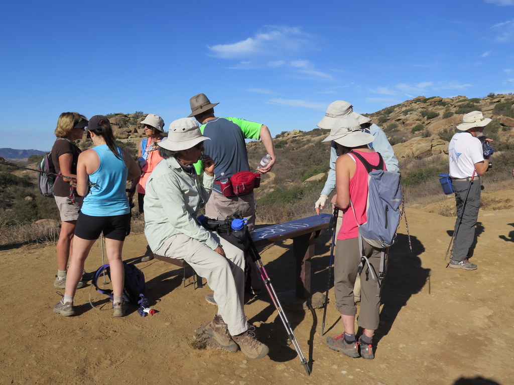
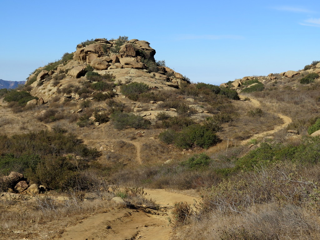
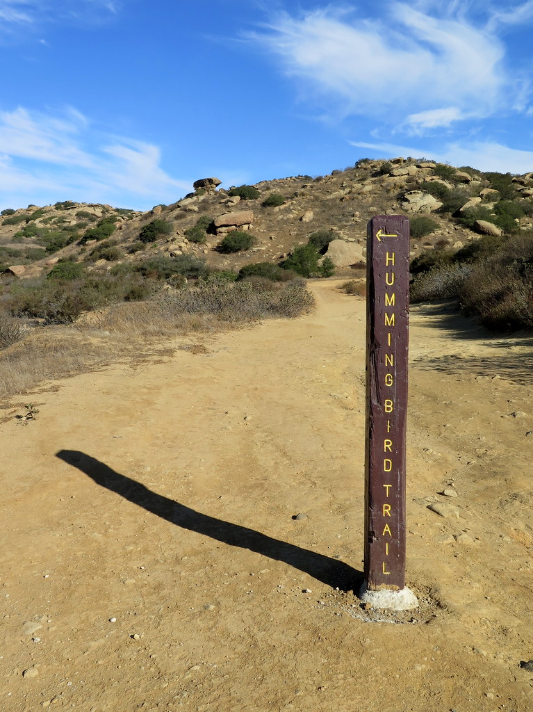
12 hikers assembled at the inadequate on-street parking area at the north end of Kuehner Drive at the trailhead (1,175’) for the Hummingbird Trail (just outside the gate into Hummingbird Ranch) on what promised to become another very hot day. The morning was already warm as we began our 2.4-mile eastward climb to the Rocky Peak Fire Road.
show more
show less
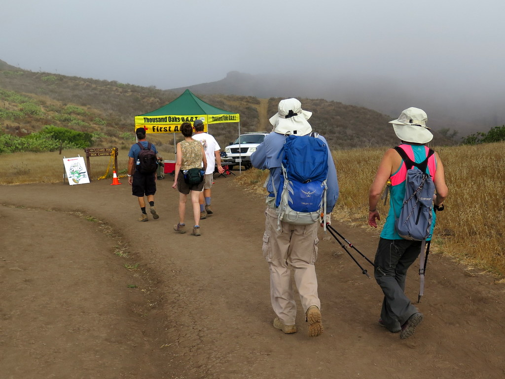
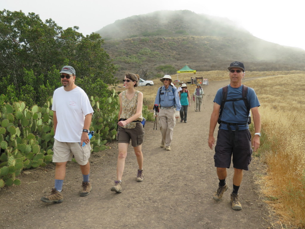
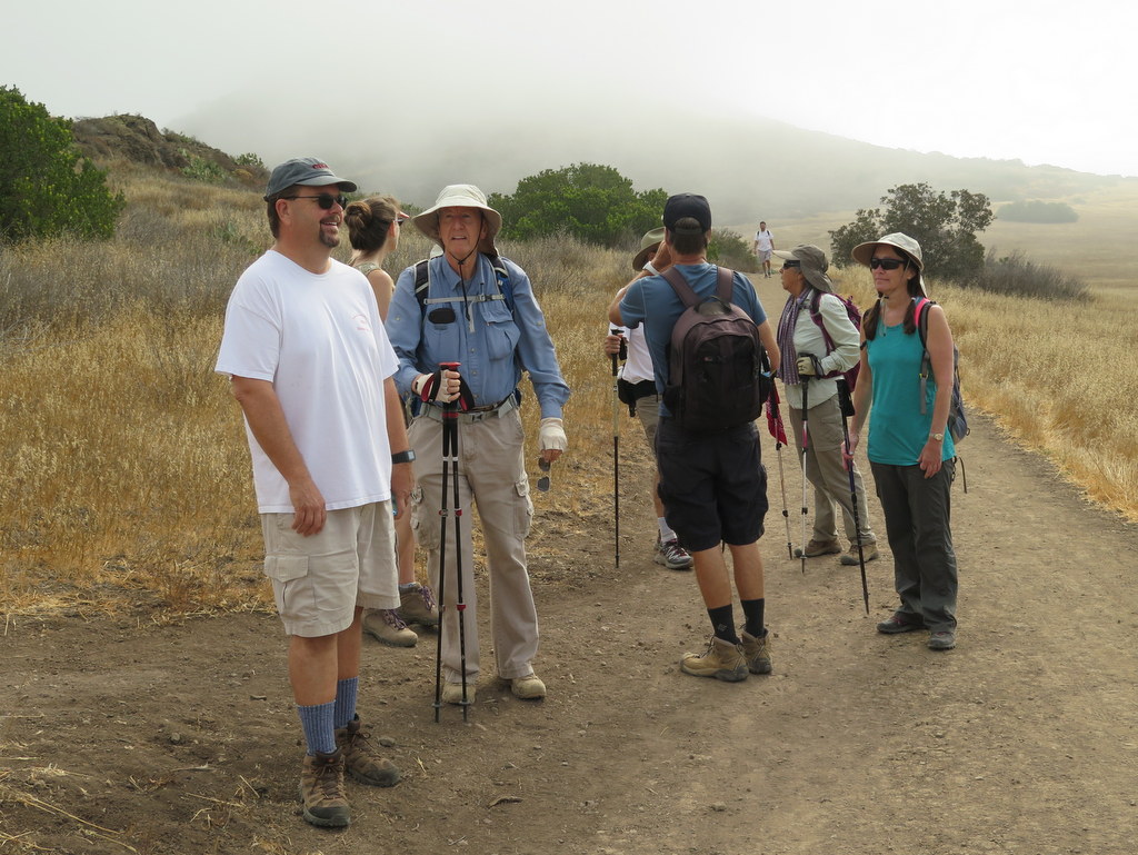
October 1st – Long Canyon, Oak Canyon, Montgomery Canyon, Challenger Park, Coyote Hills Park, Canyon View Trail Loop
Our two hike leaders arrived early at the very full Long Canyon Parking lot this morning. There wasn’t a single empty parking space to be found, even outside the lot. Two unscheduled track events arrived earlier and filled the entire lot. There was no legal street parking to be found anywhere nearby. After some last-minute brainstorming, we decided to move the meeting place, and the starting trailhead, to Challenger Park and begin our counter-clockwise loop from the opposite end.
show more
Temperatures were running about 10 degrees warmer than forecast, and the air quality was poor. Smoke from the Soberanes Fire to the north, came back inland with the mild ocean breezes, following the recent Santa Ana wind event earlier in the week. The loop didn’t provide many opportunities for much-needed shade. The day proved not to be the best for hiking.
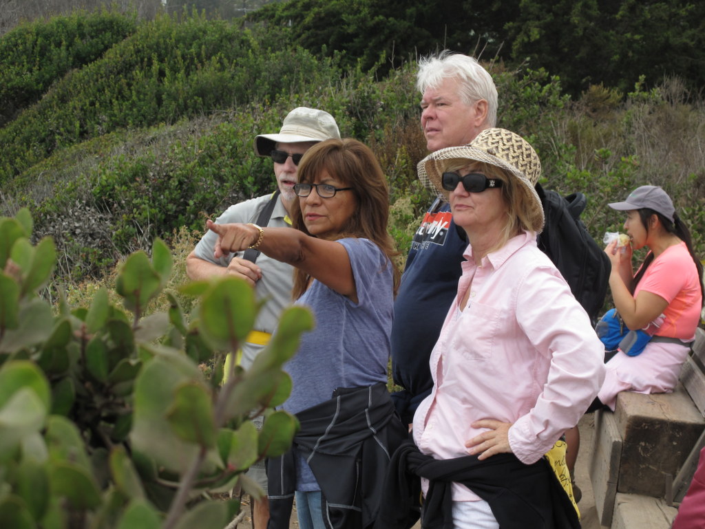
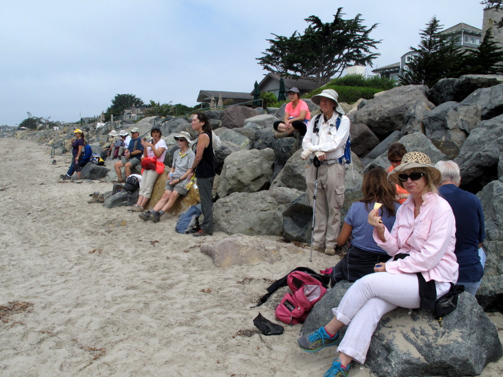
Our hike started with 25 people and one dog. One hiker turned back before the Canyon View Trailhead. The remaining group started up the very steep trail, and after arriving at the top of the ridgeline, enjoying great local views, despite the fact the distant views were obscured by smoke. After arriving at the intersection of Long Canyon Road and the Canyon View Trail, three hikers and the dog headed back to the trailhead, following Long Canyon Road east to Challenger Park. 21 hikers continued on 7/10 of a mile, up the steep Long Canyon Trail, to a trail junction that overlooks a good part of Simi Valley and Thousand Oaks. From there we took a “use” trail connector into Oak Canyon. At intersection of Montgomery Canyon and Oak Canyon, five additional hikers elected to continue on down the hill, and also head back to Challenger Park via Long Canyon Road. 16 hikers continued on up the next hill into Montgomery Canyon, heading to Challenger Park. As before, two more exhausted hikers decided not to tackle the final hill in the Challenger Park, and they too followed Long Canyon Road to the Challenger Park Entrance. 14 remaining intrepid hikers completed the entire 7.5 mile loop, overcoming almost 1,700’ of total elevation gain.
show less
September 24th – Malibu Creek State Park

The Mt.-Pinos-to-Sheep-Camp hike that was planned for this day was canceled on Thursday evening due to a “Red Flag Warning” issued by the National Weather Service for all of the L.A. and Ventura County mountains; it was replaced with this hike. 7 hikers carpooled to the trailhead in the northwest corner of the park (at the intersection of Cornell Road and Mulholland Hwy).
show more
show less
September 17th – Edison Fire Road and Runkle Canyon
The Cloudburst Summit hike that was planned for this day was canceled at 5:30 a.m. due to a “Red Flag Warning” issued by the National Weather Service for the San Gabriel Mountains. However, six hikers met at the carpool point and decided to hike locally instead. After carpooling to the Vista Del Arroyo Park on Chicory Leaf Place, we headed east along the Arroyo Simi and then began climbing a north-south ridge along an Edison Road toward the Albertson Motorway which runs east-west atop the Simi Hills.
show more
show less
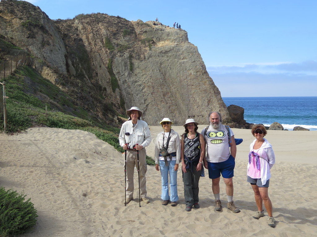
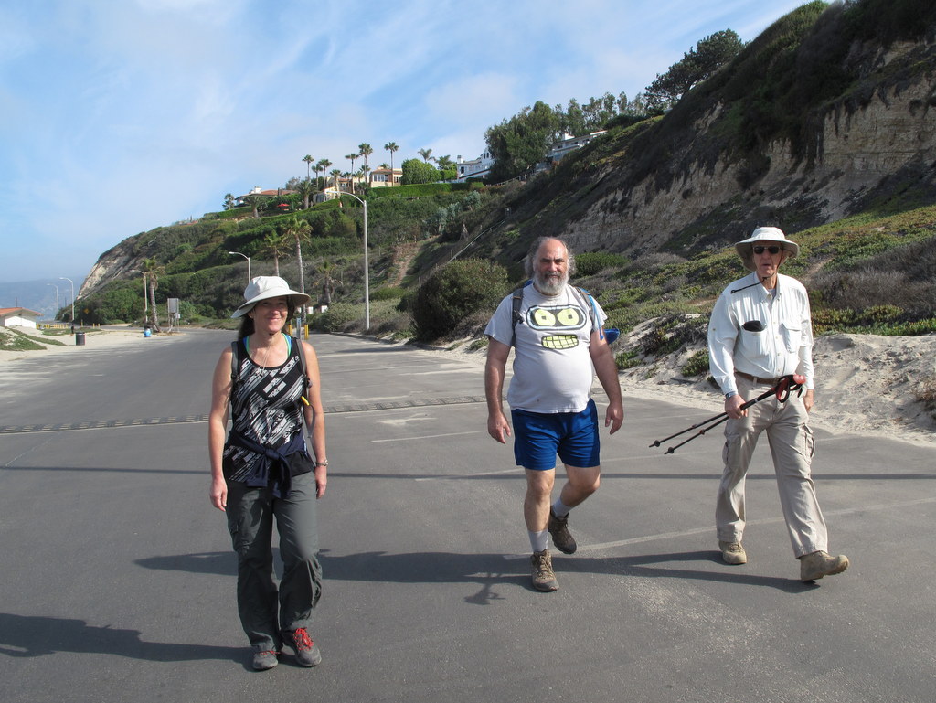
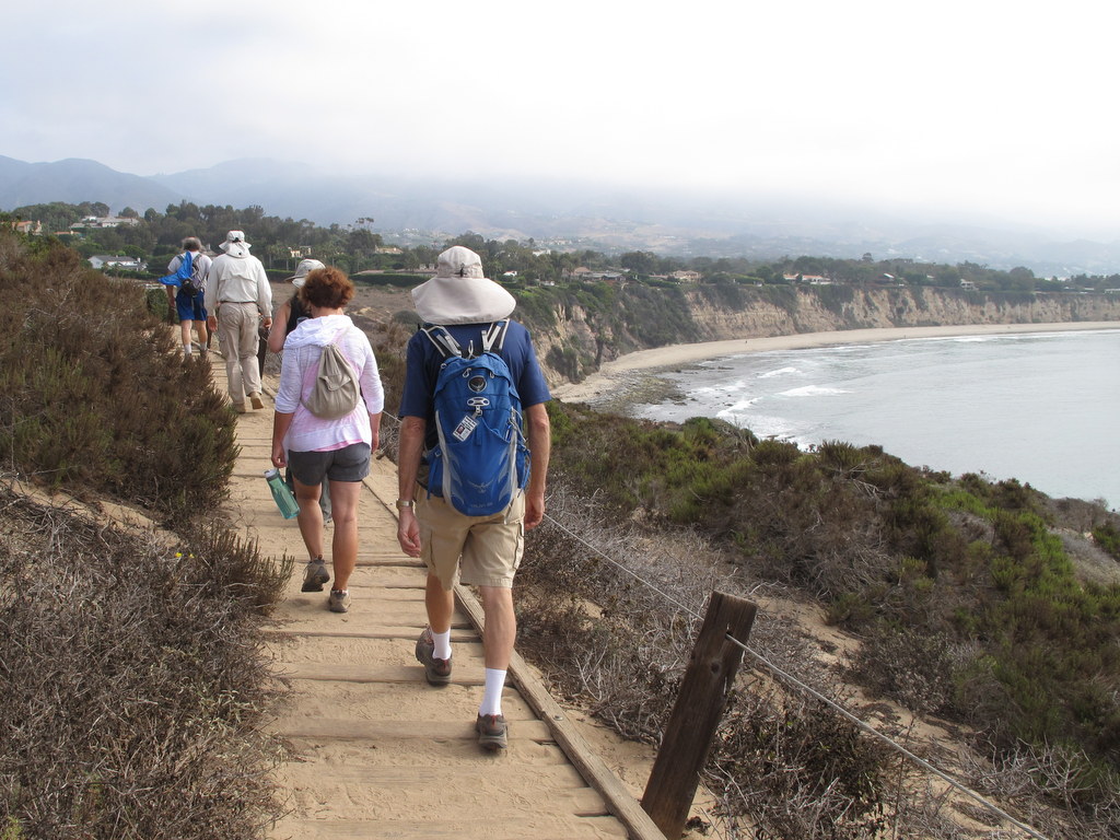
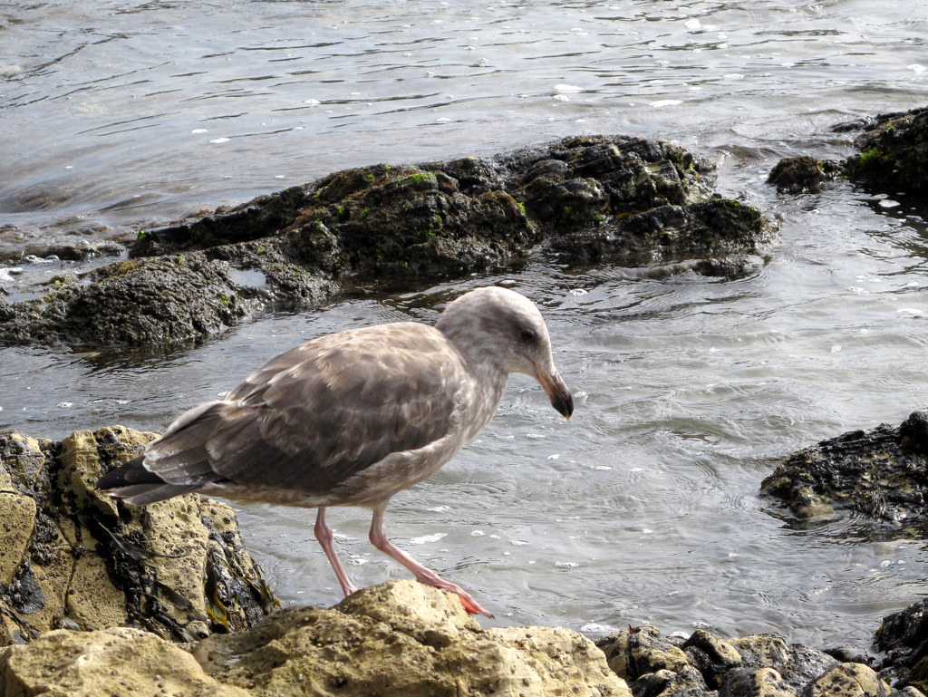
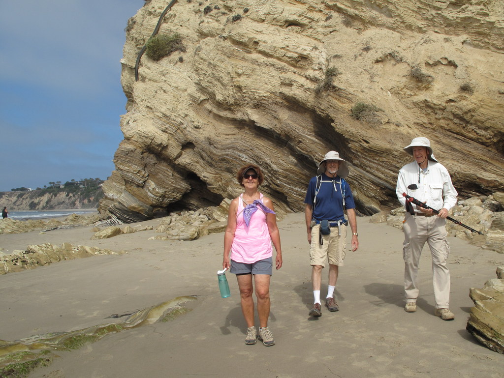
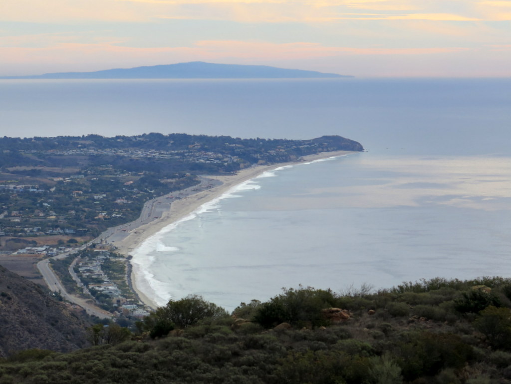
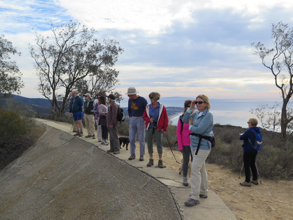
September 10th – Carpinteria Bluffs, Tar Pits Park, and Bates Beach
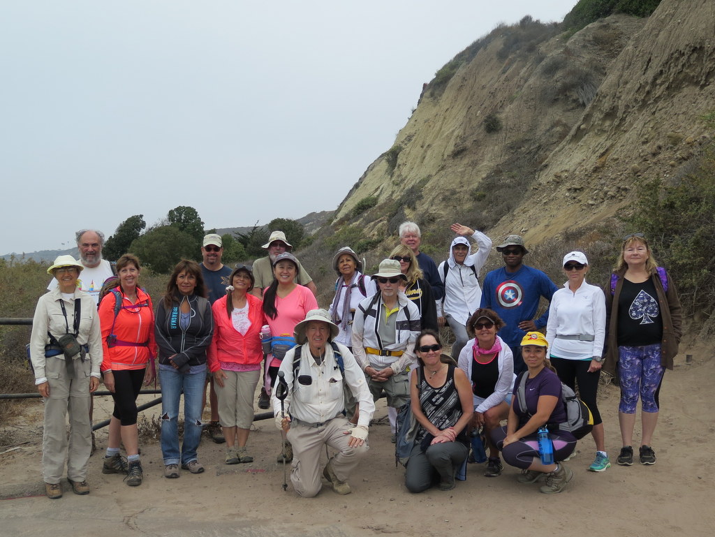
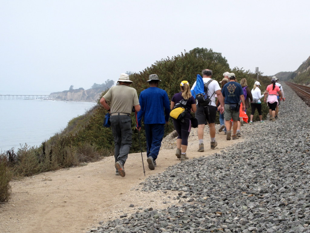
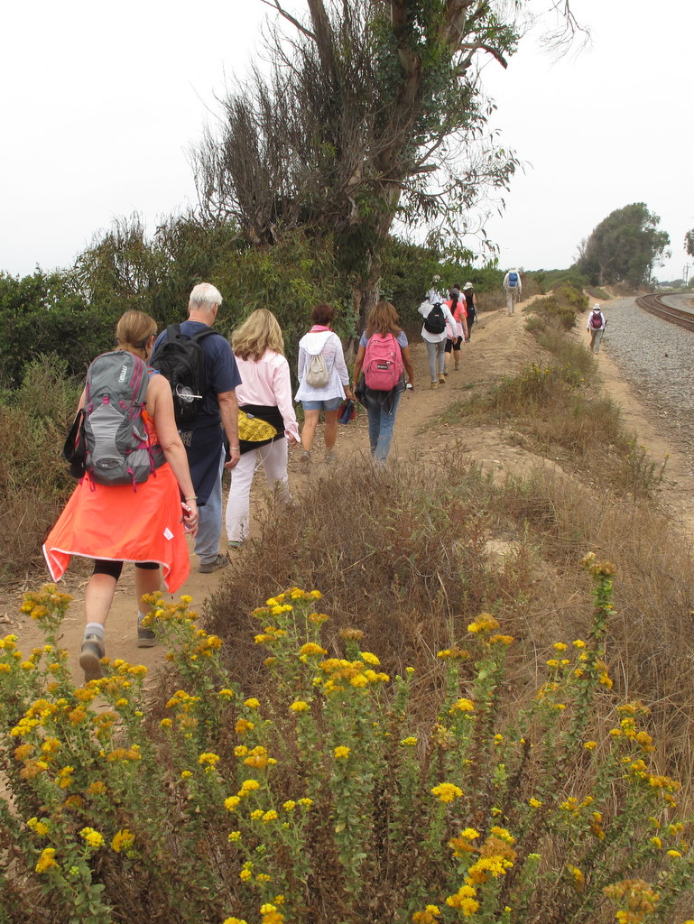
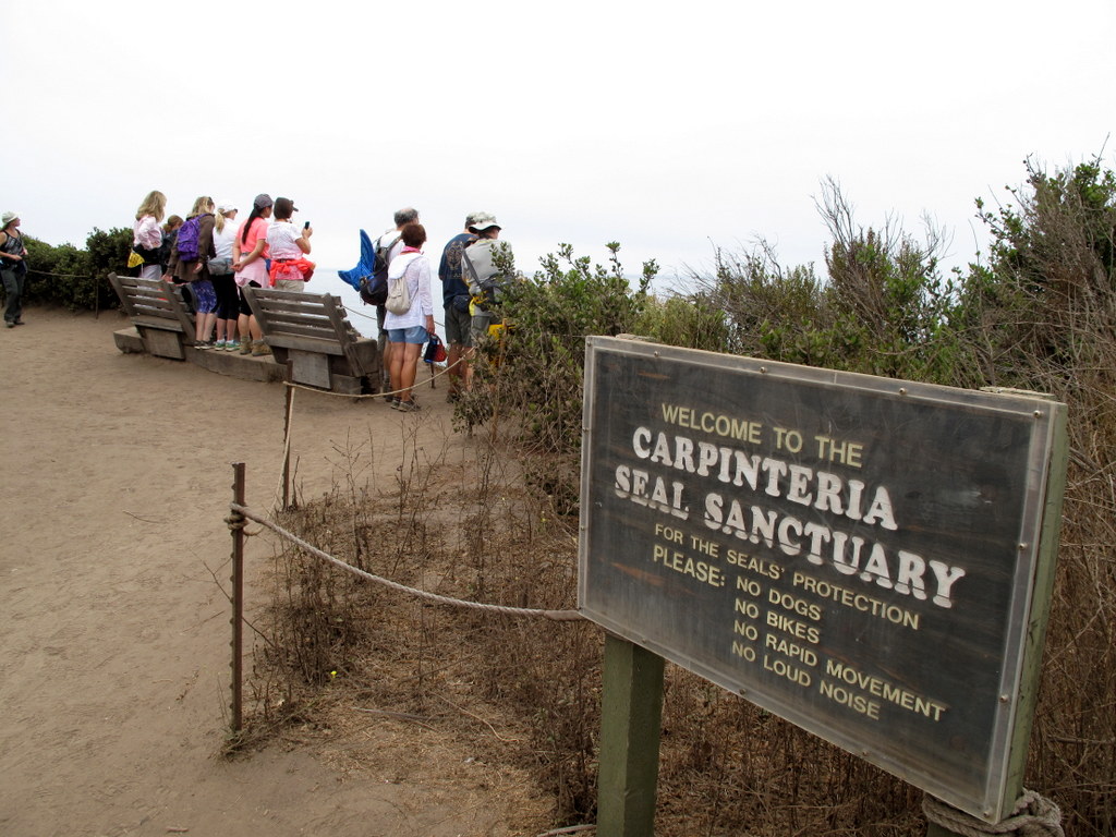
21 hikers met in the parking lot at Rincon Park a little south of Carpinteria on a cooler-than-normal late-summer morning. Our hike began along the Carpinteria Bluffs overlooking Bates Beach and the Pacific Ocean. The trail ran parallel to the railroad tracks for about a mile and a half and then led through a grove of eucalyptus trees over to the Carpinteria Harbor Seal Preserve which is home to almost 100 adult seals who give birth to their cubs on the Carpinteria shoreline; it’s one of the four harbor seal rookeries remaining along the southern California coast.
show more
show less
September 3rd – Arroyo Simi Bike Path Ride: Madera Road to Ralston Street

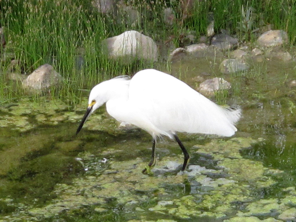
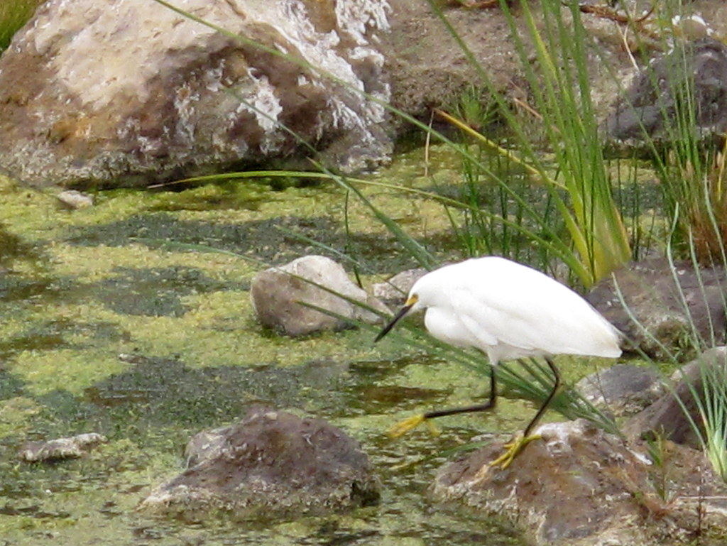

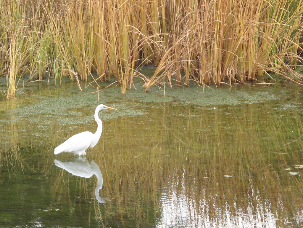
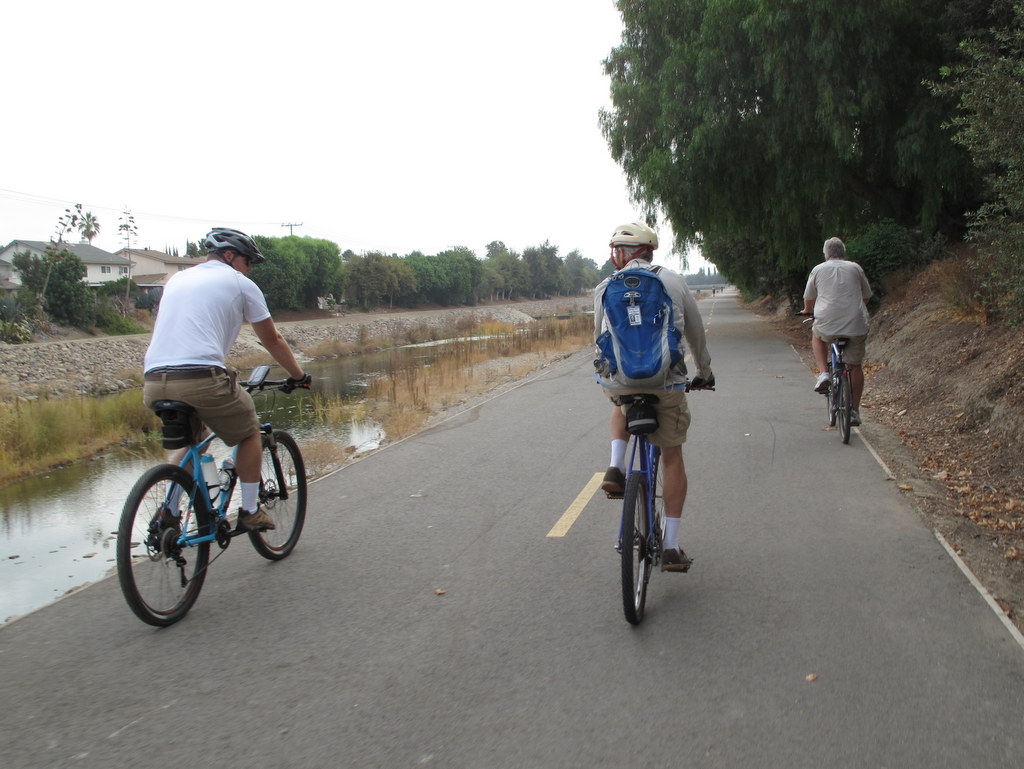
It was an unseasonably cool September morning and perfect for a bicycle ride. Several species of water birds were frolicking in the Arroyo today, especially at the western end of the Valley. We saw a Great Blue Heron, more than a dozen egrets, and a multitude of mallards, coots and grebes. Still enduring severe drought conditions, many parts of the Arroyo were dry, but there was sufficient water to support a struggling ecosystem. show more show less
August 27th – Devil Canyon to Brown’s Canyon Road
28 hikers met at the starting point of the hike on Poema Place in Chatsworth on an unusually cool, but welcome, summer morning. Our hike began as we descended into the heavily shaded bottom of Devil Canyon where we followed the remnants of the Devil Canyon Motorway upstream as it frequently crisscrossed the dry creek bed.
show more
show less
August 20th – Johnson Motorway to Chumash Trail Shuttle
13 hikers carpooled to the trailhead on Iverson Road just outside the gated southern entrance to Indian Springs Estates in Chatsworth on an already warm summer morning. After following the easement through the upscale gated community, we reached the beginning of the unpaved Johnson Motorway (once a toll road).
show more
show less
August 13th – Newton Canyon and the Backbone Trail
Twelve hikers, met at the Donut Delite parking lot and carpooled to the Newton Canyon Trailhead, where we met one more hiker from Thousand Oaks. The Newton Canyon trail follows a segment of the Backbone Trail, known for its extensive riparian canopy. It is the shade, provided by this canopy, that makes this hike a good choice in the hot Summer months.
show more
show less
August 6th – Mt. Baldy, Ski Lift, Devil’s Backbone, Ski Hut Loop
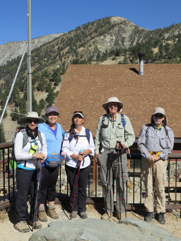
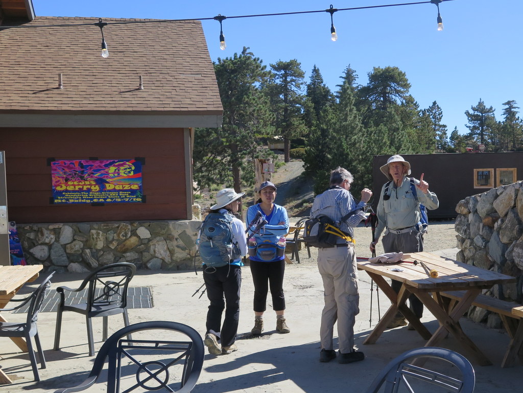
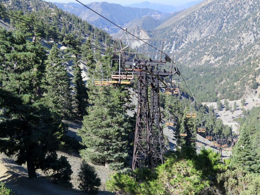
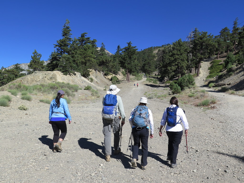
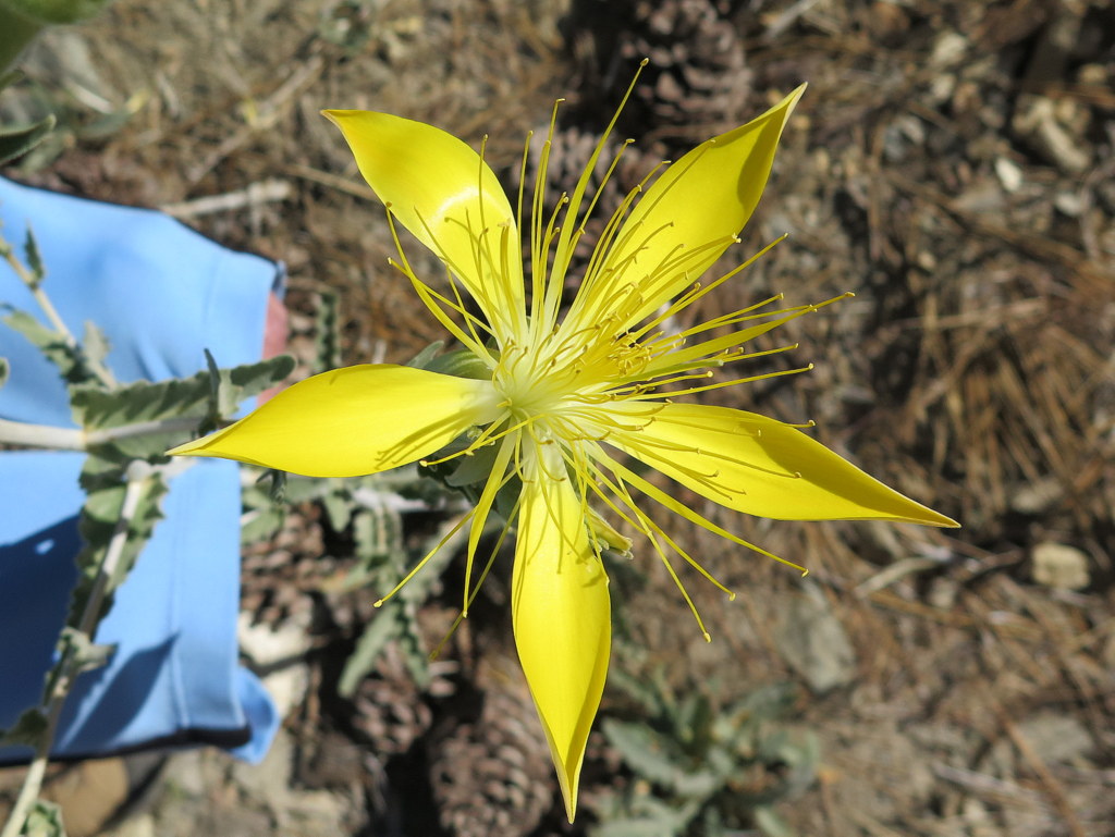
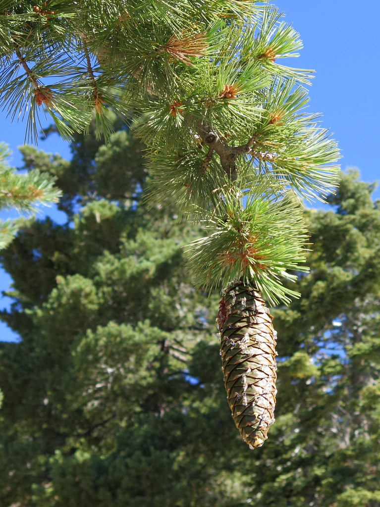
Six hikers carpooled to the Mt. Baldy (Mt. San Antonio) Ski Lift parking lot (6,447′) at the north end of Mt. Baldy Road on a pleasant summer morning to hike to Mt. Baldy peak (10,064′), the highest peak in the San Gabriel Mountains. After riding the lower ski lift up to Baldy Notch (7,802′), we set out on the 3.6-mile climb to the peak. Initially the trail followed a fire road/ski run heading up the mountain to the west for about 1.25 miles, eventually leading to the well-named Devil’s Backbone portion of the trail.
show more
show less
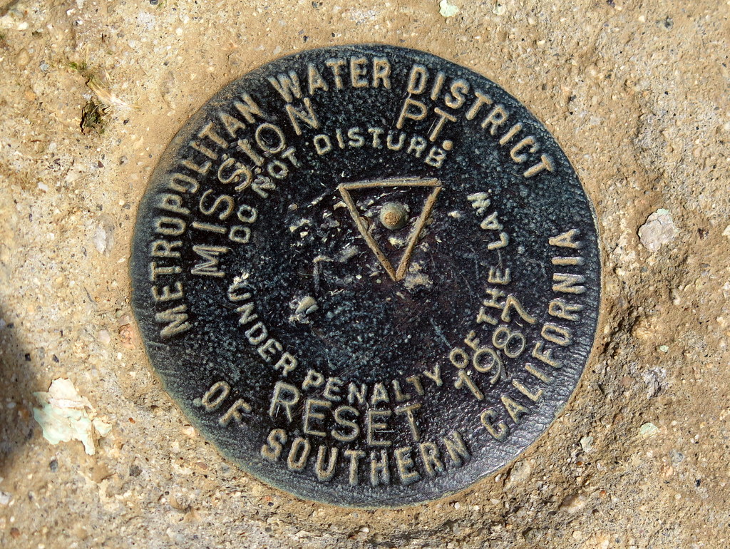
July 30th – East Canyon to Mission Point
9 hikers met in Simi Valley and then carpooled to the “East Canyon, Rice Canyon, and Michael D. Antonovich Open Space” section of the 4,000-acre Santa Clarita Woodlands Park via I5 and “The Old Road” in Santa Clarita. It was already a warm morning as we began hiking southward along the non-maintained and somewhat-eroded East Canyon Motorway as it followed the dry streambed in the canyon bottom. show more show less
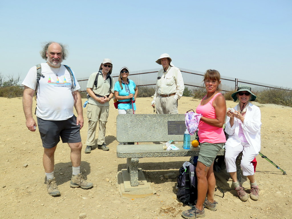
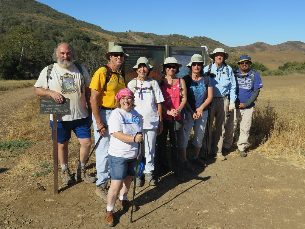
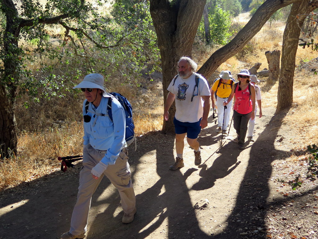
July 23rd – Danielson Memorial via the Wendy Trail and Satwiwa
9 hikers assembled at the Wendy Trail trailhead on Potrero Road at the south end of Wendy Drive in Newbury Park (which borders the Santa Monica Mountains National Recreation Area) on an already warm morning on a day that was forecast to be “a scorcher.” Our hike began by following the Wendy Trail to the Satwiwa Native American Indian Culture Center at Rancho Sierra Vista and then heading diagonally southeast across the adjacent grassland to the Danielson Road leading to the Danielson Memorial. show more show less
July 16th – Mt. Waterman Loop
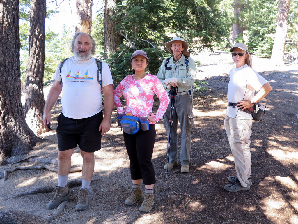
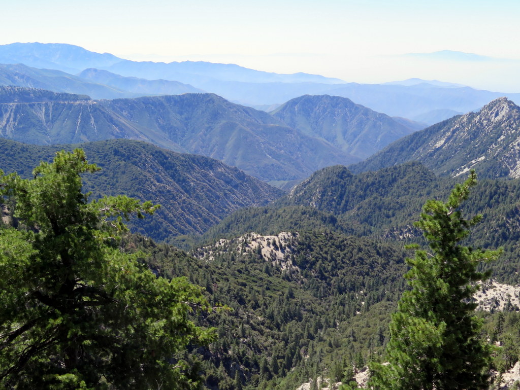
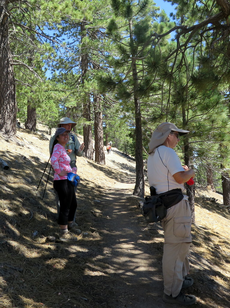
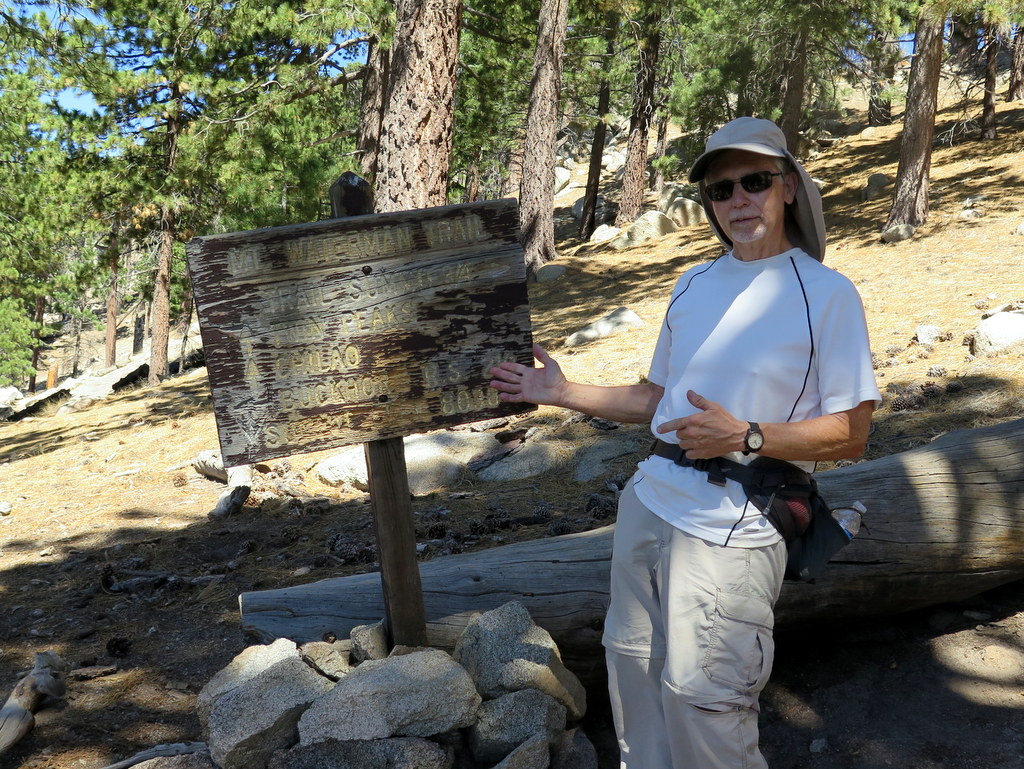

On a day when the temperature in Simi Valley was forecast to reach the 90’s, five hikers carpooled past Cloudburst Summit to the parking lot adjacent to the Buckhorn Day Use Area at mile marker 58.02 along the Angeles Crest Highway (ACH) in the San Gabriel Mountains [Angeles National Forest] in an effort to “beat the heat.” The trailhead temperature was in the 70’s as we crossed the ACH and began hiking. show more show less
July 9th – Westward Beach to Point Dume to Paradise Cove

6 hikers carpooled to Malibu and Westward Beach Road where we took advantage of limited free parking along the road and then hiked to the parking lot trailhead. The temperature was pleasant but there was fairly high humidity as we began hiking up onto Point Dume. After an easy climb, we hiked over to a platform overlooking the ocean and viewed a nearby seal rookery; we then backtracked and followed a trail and a rusty stairway as they led down to Dume Beach. show more show less
July 2nd – Mt. McCoy to the Reagan Library

23 hikers (and one dog) met at the carpool point near the intersection of Royal Avenue and Madera Road on a cool summer morning and then (since trailhead parking is quite limited) walked from there to the Mt. McCoy trailhead on Washburn Street a few blocks to the west. The hike began along the trail heading south but it quickly began climbing gradually westward along the well-maintained (but frequently “cut” by bicycle riders) trail leading to the summit via a series of switchbacks. show more show less
June 25th – Wildwood Park Loop
10 hikers arrived in the main parking lot in Wildwood Park at the west end of Avenida de los Arboles in Thousand Oaks on a cool foggy morning. After taking a group photo, we headed west on the Mesa Trail were soon greeted by a seemingly unending string of runners coming toward us; they were participants in a 10K run scheduled for that morning. show more show less
June 11th – Matilija Falls


Thirteen hikers met at the trailhead at the west end of Matilija Road a few miles northwest of Ojai on a pleasant late-spring morning. The hike began along a road that headed west through the private Matilija Canyon Ranch Wildlife Refuge where we passed by a large cage housing several peacocks. The stream crossing at the 0.4-mile mark was easy since there was no water in the creek at that point. show more show less
May 28th – Hondo Canyon to Topanga Lookout
Ten hikers arrived on a cool overcast morning at the trailhead located 0.4 mile northwest of “downtown” Topanga along Old Topanga Canyon Road where the Santa Monica Mountains National Recreation Area’s “Backbone Trail” crosses the road. As we began our hike up the steep north-facing mountain slope we crossed a dry streambed and soon passed through pretty meadows filled with dry yellow grasses and dotted with oak trees and interesting rock formations. show more show less
May 14th – Triunfo Lookout, Canyon View Trail, Grotto Trail
13 hikers carpooled to the day-use-parking area (1,631′) below the Circle X Ranger Station on Yerba Buena Road in the Santa Monica Mountains and dropped off a shuttle vehicle; we then carpooled to the Sandstone Peak Trail parking lot (2,066′) on Yerba Buena Road near Triunfo Pass (2,100′) in the Santa Monica Mountains on a cool overcast spring morning. show more show less
May 8th – Fish Canyon Narrows
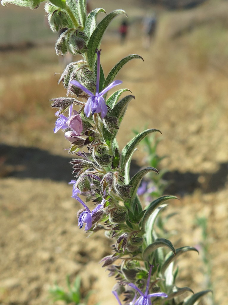
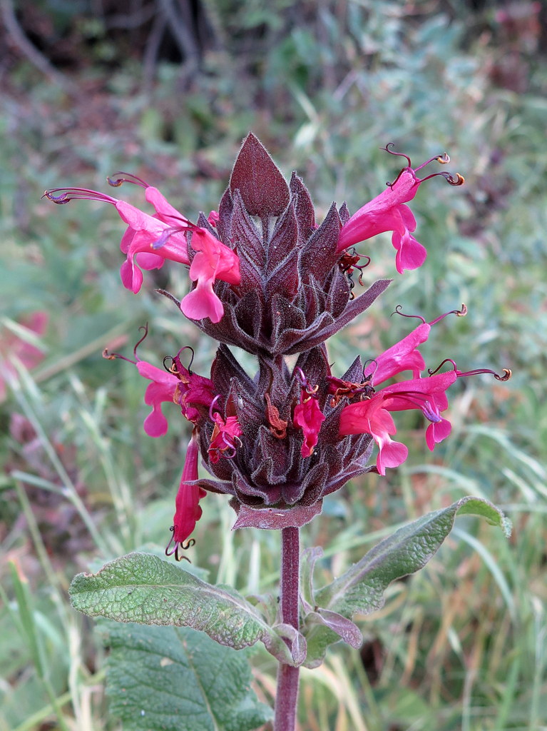
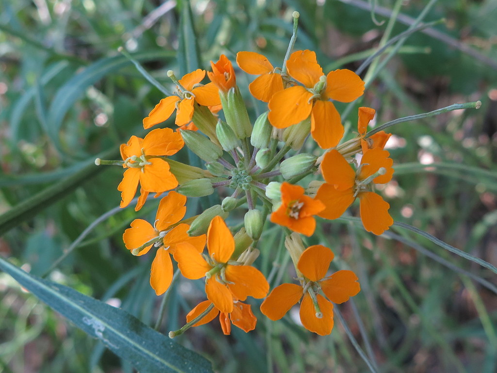
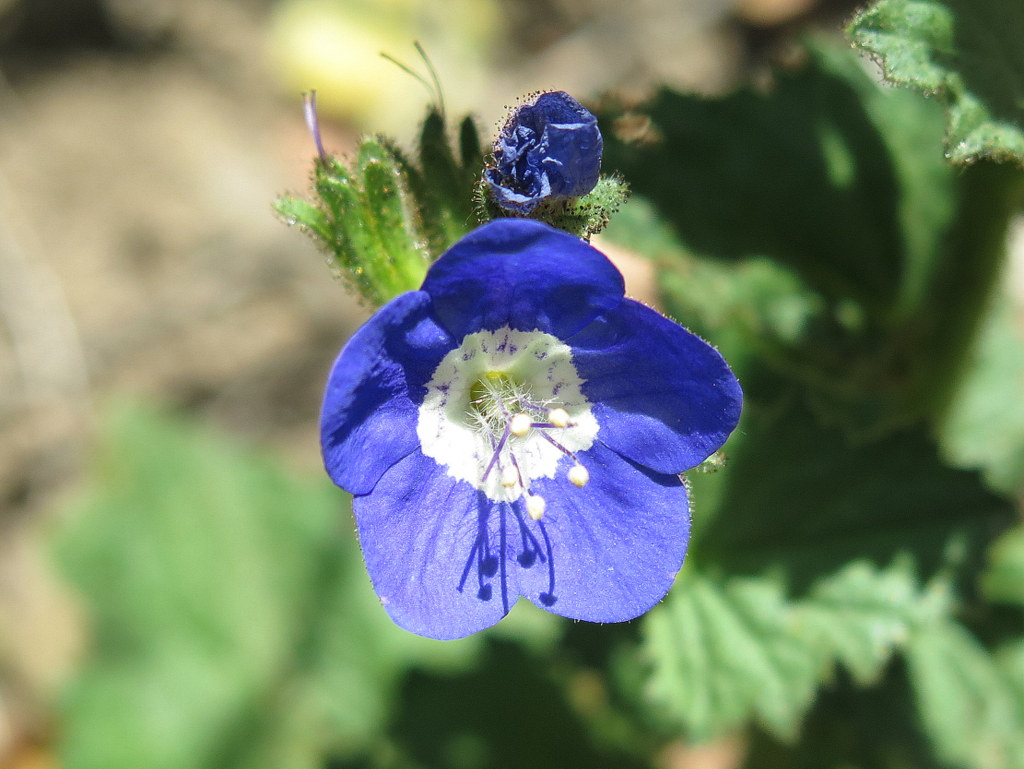
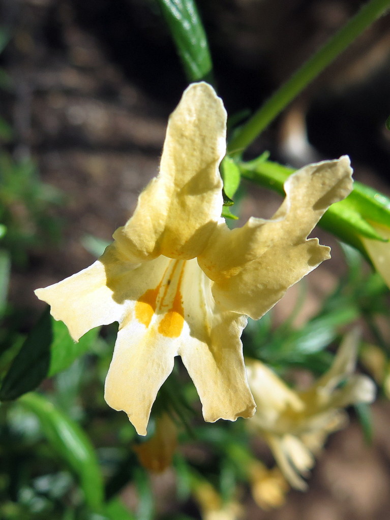
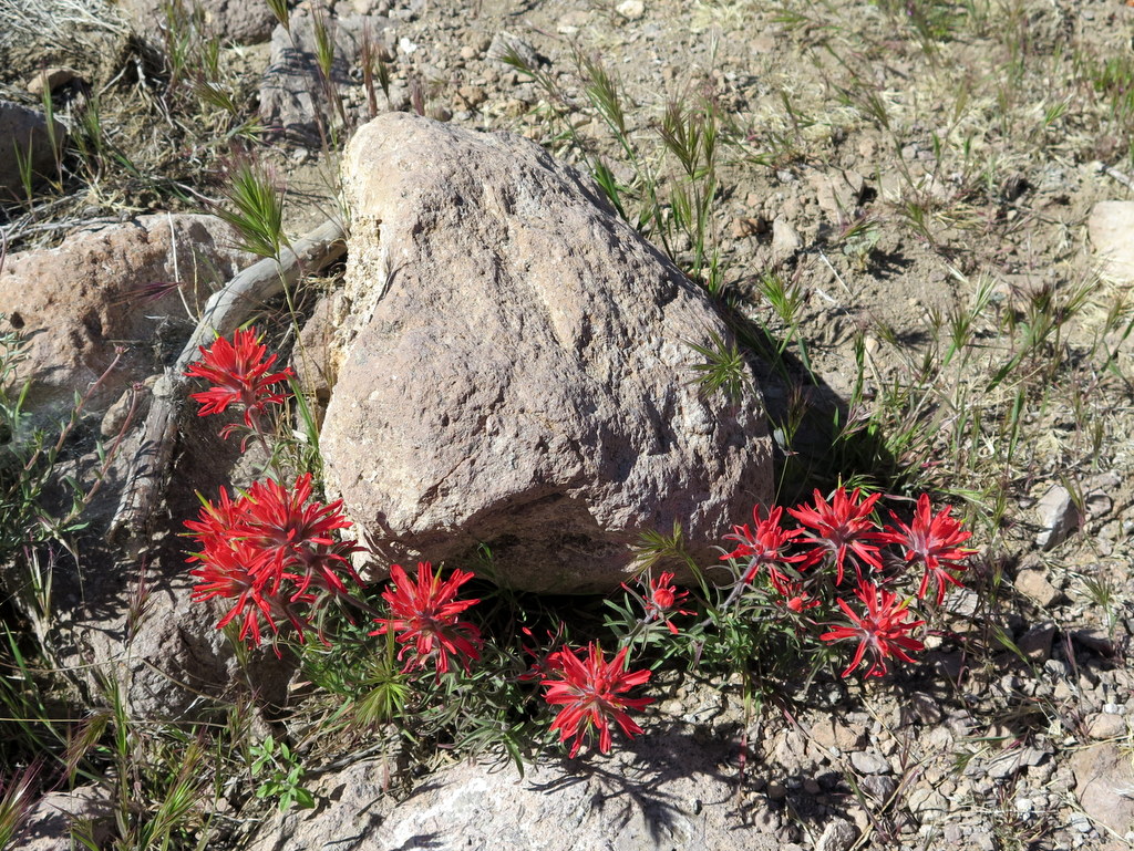
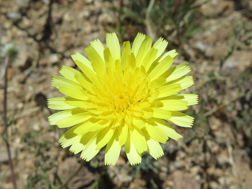
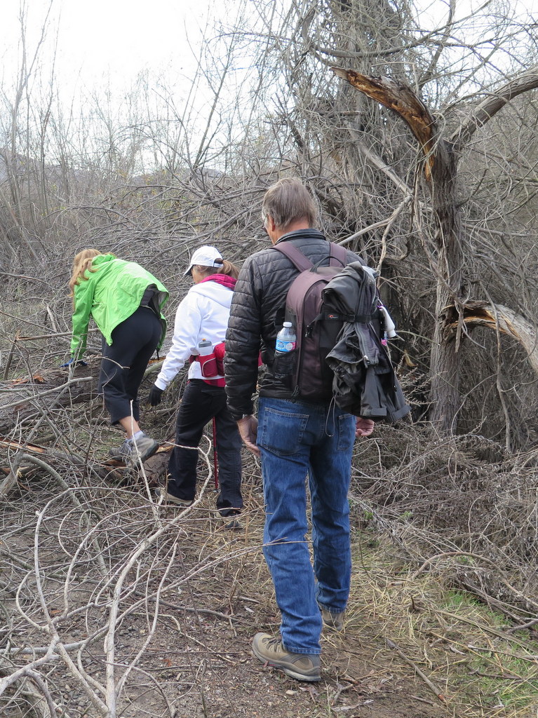
Despite forecasts of possible rain and thunderstorms, 15 hikers braved the elements for this unique hike. Fortunately the only rain we encountered fell as we were driving to the starting point of our hike at the gate at the east “end” of Templin Highway north of Castaic Lake. It was a cloudy day with pleasant temperatures during the entire hike. We began by descending northeast along the closed paved road to a concrete bridge at the mouth of Cienega Canyon [which is quite overgrown]. Passing by and continuing southward as the road turned to dirt we soon veered left (eastward) onto the abandoned easy-to-follow Warm Springs-Fish Canyon Truck Trail which passed through a narrow gorge and was bordered by a variety of beautiful blooming wildflowers; after several paved creek crossings we reached the abandoned Cienega Campground (nearly three miles from our starting point). We immediately left the Truck Trail and headed north along a lovely shaded single-track trail for about a mile to “Pianobox” [an old mining claim] where there’s a campsite. The single-track trail ended as we entered the Fish Canyon Narrows and we found ourselves rock hopping, pushing through brush, and crisscrossing the creek to follow stretches of “use” trail for the next mile or so. The stream was flowing and provided a musical accompaniment as we hiked carefully through the narrow canyon bordered by very scenic reddish hundred-foot rock walls and populated with oaks and alders. We eventually reached the Rogers Trail Camp in a small oak-shaded clearing on an oak- and sycamore-shaded bench. After we took a much-needed lunch-and-rest break we returned the way we came and returned home having completed an 11 mile hike with 1,000′ of elevation gain/loss, a hike described in 2009 by Los Angeles Magazine as the best hike in Los Angeles!
April 30th – Towsley Canyon
11 hikers (plus one dog) met at the “Ed Davis Park at Towsley Canyon” section of the 4,000-acre Santa Clarita Woodlands Park on a pleasant spring morning. We began hiking along a dirt road toward the Sonia Thompson Nature Center, crossing Towsley Creek on a concrete bridge. Soon we began a counterclockwise hike on the Towsley View Loop Trail. After passing through The Narrows section of Towsley Gorge, the trail began rising via switchbacks along the shaded eastern slope of the canyon. The verdant north-facing slopes of the Santa Susana Mountains rose steeply to the south. The single-track trail passed through sage scrub, stands of California walnut and bay laurel trees, and scattered oak trees as we made our way to the 2,450′ high point on the trail from which much of the Santa Clarita Valley could be seen. The hillsides were adorned by many blooming wildflowers which begged to be photographed. The trail then began dropping into shady Wiley Canyon which we followed downstream to a junction with the Canyon View Loop Trail which rose along the northern flank of the mountain before descending to the Sonia Thompson Nature Center. After a brief respite we were led on our first hike along a portion of the new Elder Loop Trail in the nearby Rivendale Park and Open Space which led us back to our vehicles. We returned home having completed a very pleasant 7.5 mile hike with over 1,600′ of elevation gain/loss.
April 24th – Horn Canyon to Pines Trail Camp
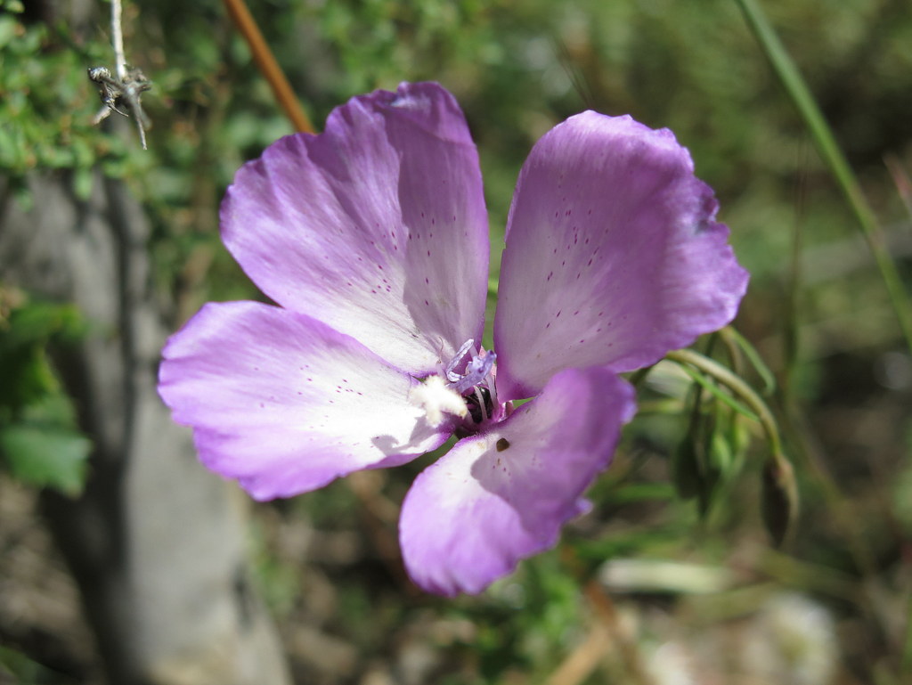
13 hikers met at the Horn Canyon trailhead adjacent to the Thacher School a few miles east of downtown Ojai on a nice spring morning. As our hike began, the trail rose gradually upward to the north along a dirt road flanked by wildflowers. The route soon became a shady trail that followed a pleasant creek (with water in it!) as it continued up toward the Nordhoff Ridge; there was an amazing array of lovely wildflowers adorning the path. After several easy stream crossings, the trail began to rise inexorably via switchbacks toward our destination and we were rewarded with great views of the Ojai Valley and onward to the ocean and Santa Cruz Island plus a view of a slice of Lake Casitas – and more beautiful wildflowers! Eventually we reached the Pines Trail Camp which provided cool breezes and some shade although most of the pine trees have been cut down or are dead but still standing [camping is no longer permitted in this campground]. After resting and eating lunch we returned the way we came, again admiring the beauty of the trail. We reached our vehicles and returned home having completed a somewhat demanding 5.5-mile hike with 1,845′ of elevation gain/loss, planning to return again next year.
April 9th – Canyon View Trail, Grotto Trail, and Circle X Ranch
3 hikers traveled to the Sandstone Peak Trail trailhead parking lot (2,066′) on Yerba Buena Road near Triunfo Pass (2,100′) in the Santa Monica Mountains on an overcast spring morning with a forecast of rain. There were a handful of vehicles in the parking lot, but no other outdoor enthusiasts were visible. Local visibility was good as we began hiking down the Canyon View Trail toward the ocean. The foliage glistened with water droplets from the overnight rain, but the trail footing was good. The canyon/mountain views were emerald green and the trail was bordered with lots of blooming wildflowers. Upon reaching the junction with the Grotto Trail, we followed it as it headed downstream along the West Fork of the Arroyo Sequit, enjoying the canyon views including stunning rock formations and more wildflowers. Eventually reaching The Grotto (1,215′), we decided not to climb over the wet and slippery giant boulders that blocked further exploration. As we began to retrace our route upstream, the promised rain began to fall, but we were prepared for it and enjoyed the rare opportunity to hike in it, especially in such a beautiful area. When we reached the junction with the Canyon View Trail, we decided to take the left fork and hike up to the Circle X Ranch ranger station and then uphill along Yerba Buena Road to our parked vehicle. We encountered no other hikers during our hike and only three vehicles along Yerba Buena Road. After leaving our wet outer garments/packs in the trunk of the car, we returned to Simi Valley having completed a 4.8-mile hike with about 900′ of elevation gain/loss.
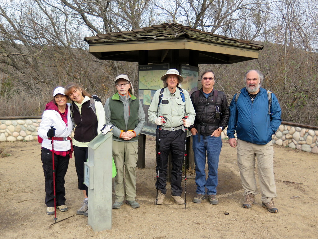
April 2nd – Nordhoff Peak Lookout Tower via the Pratt Trail
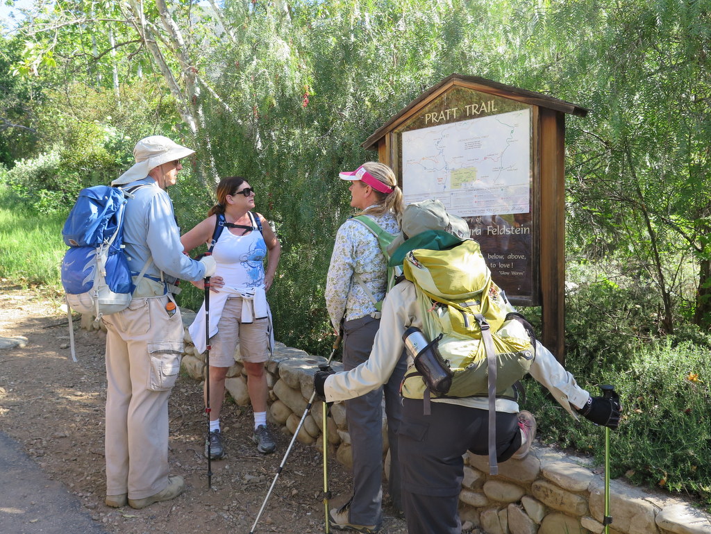
12 hikers met at the Pratt Trail trailhead near the north end of Signal Street in Ojai (just northwest of the Stewart Canyon Debris Basin) on a pleasant spring morning. As our hike began, the trail rose through a shady woodland with a smattering of wildflowers and lots of wild cucumber plants. After a mile the trail reached a plateau above the canyon with great views of the Ojai Valley. Eventually we reached a junction with the Cozy Dell Road where we encountered a group of yoga practitioners who were enjoying the nice day. The Pratt Trail then continued unrelentingly upward toward Nordhoff Peak, providing increasingly scenic views all the way to Lake Casitas and the Channel Islands. Wildflowers continued to adorn the trail and there was a surprising abundance of shade which helped us endure the rising temperature. Around noon several members of our group reached Nordhoff Ridge Road where we could see the lookout tower a mile to the east. A temporary physical ailment experienced by a member of our group caused us to return slowly to our vehicles. We then returned home having completed a hike of over 10 miles with an elevation gain/loss of over 3,000′.
Mojave National Preserve
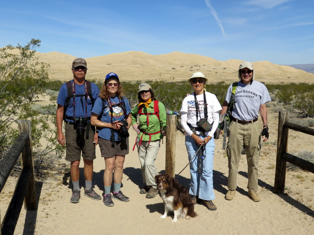
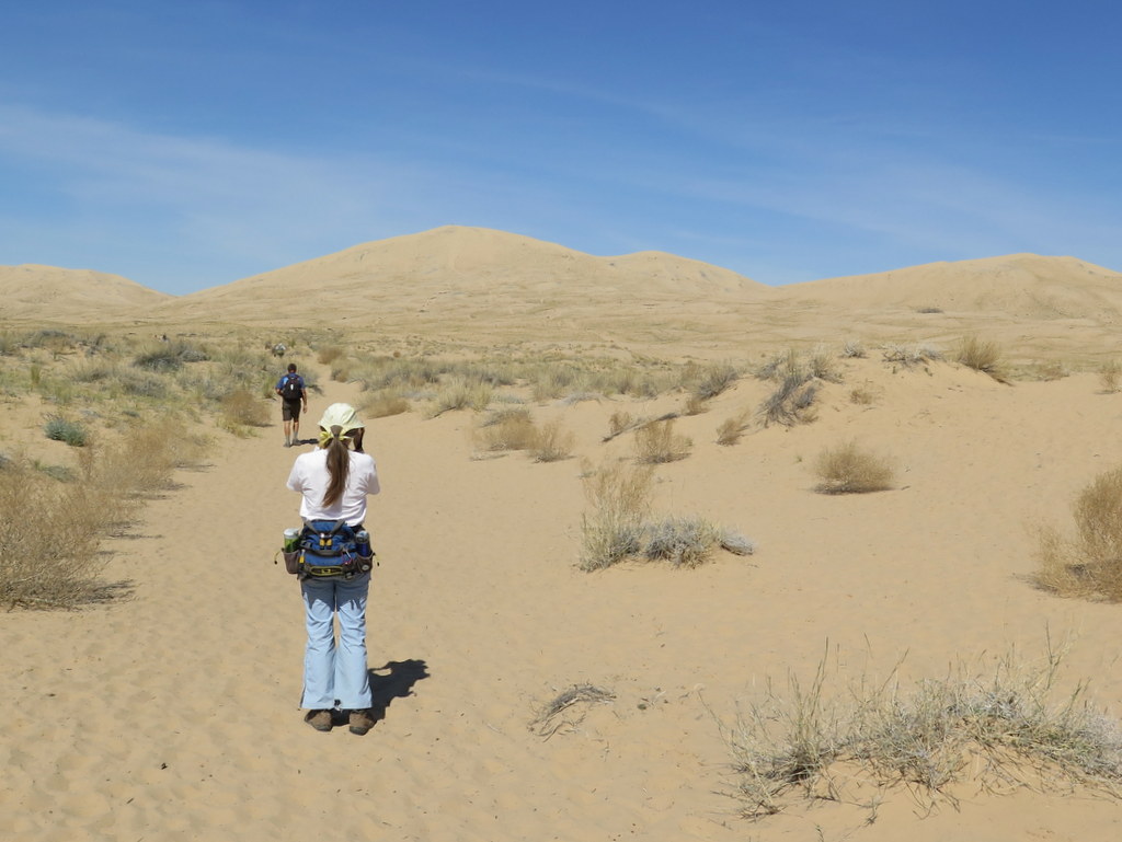
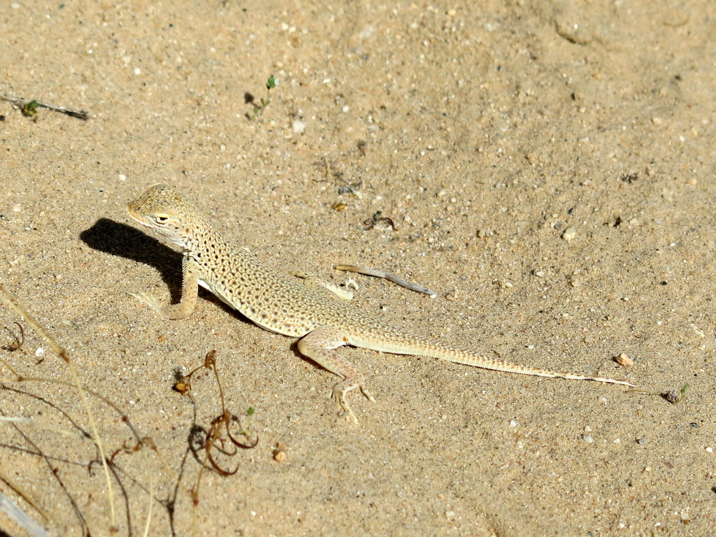
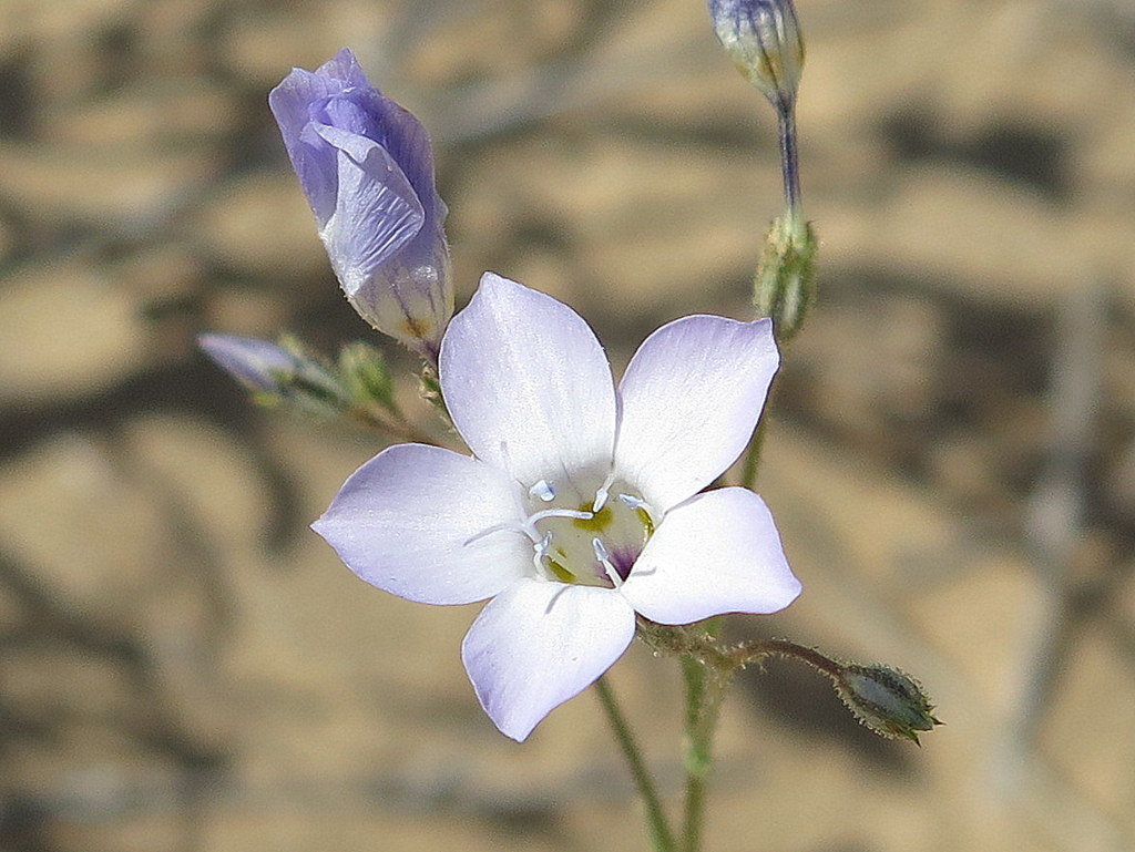
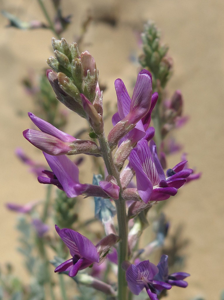
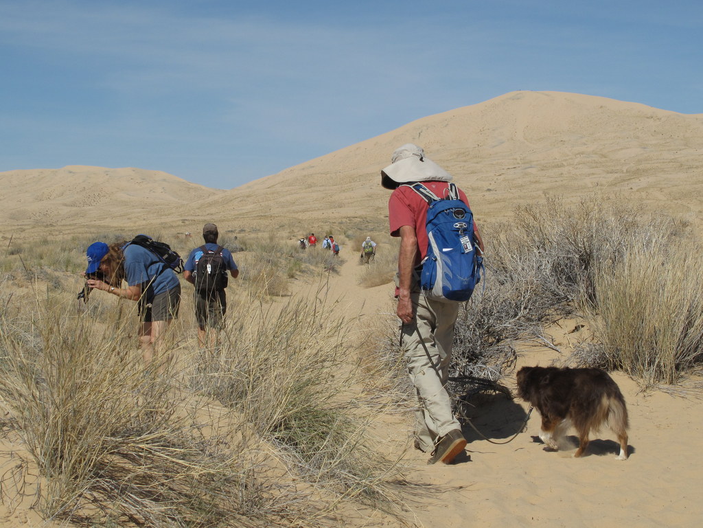
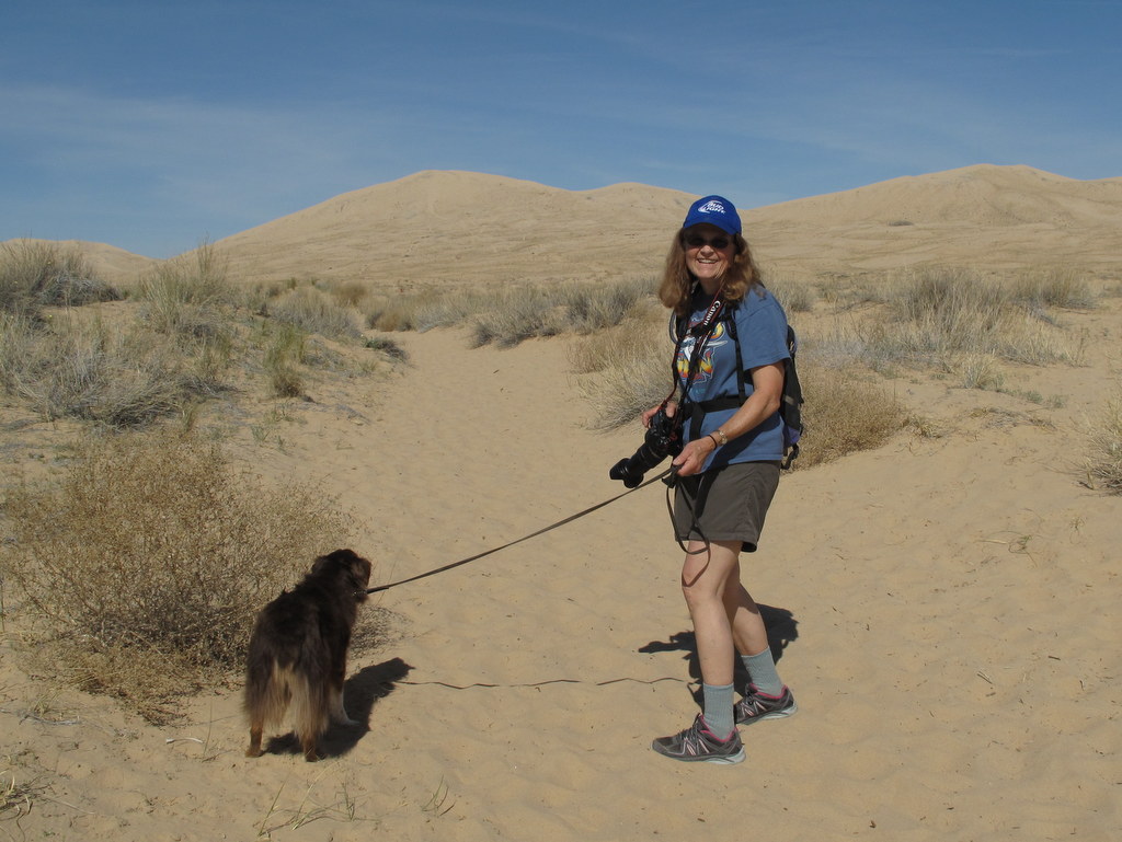
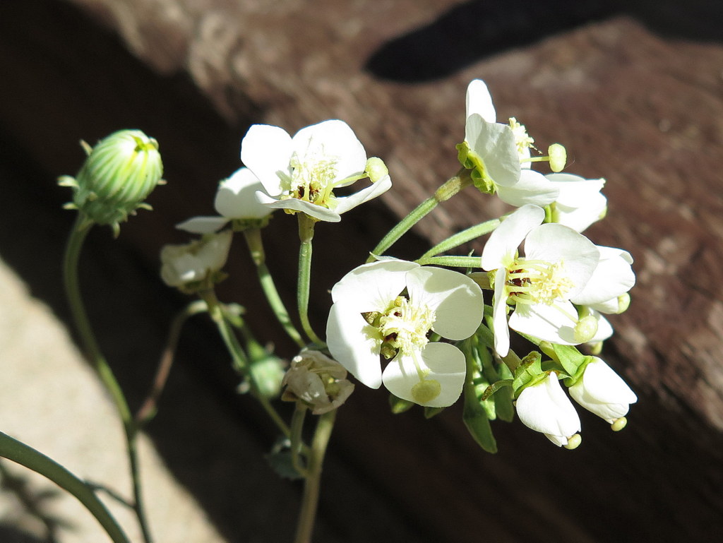
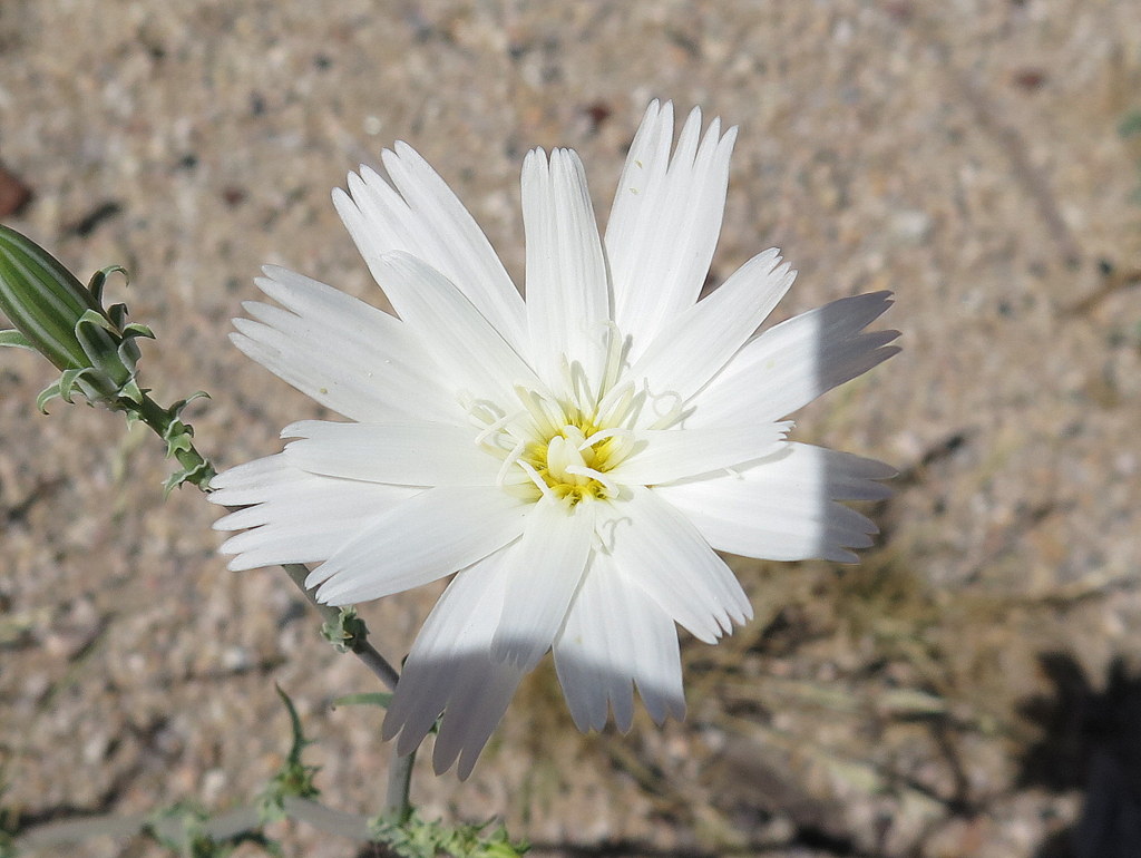
March 19th – Kelso Dunes
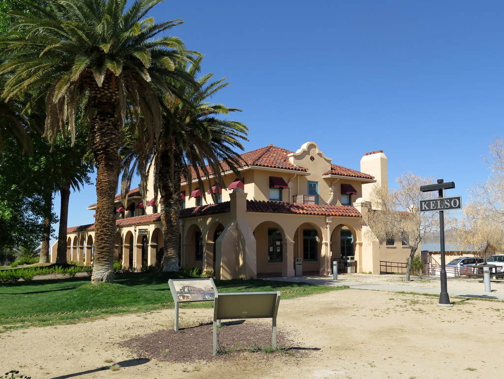
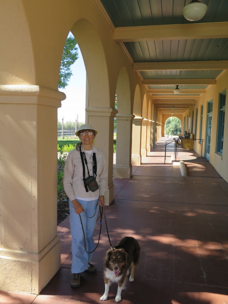
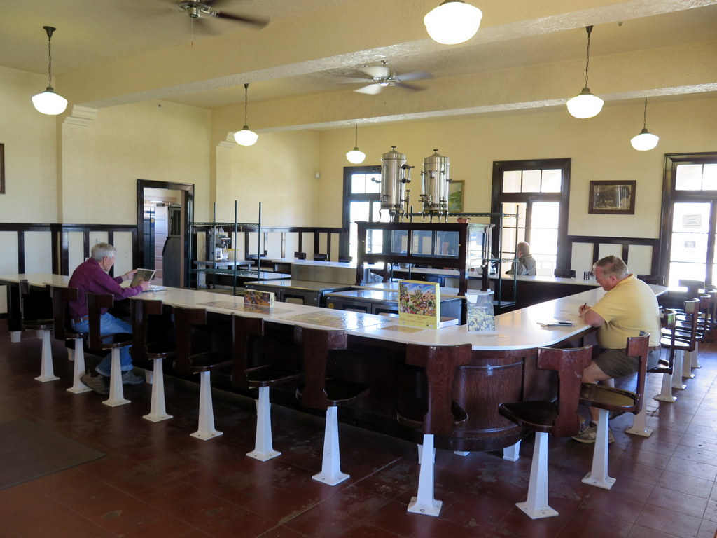
March 18th – Kelso Depot, Cinder Cone Lava Beds, and Lava Tube
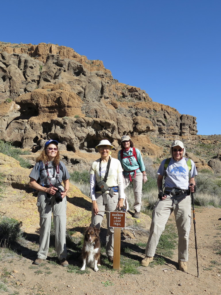
March 17th – Barber Peak Loop Trail
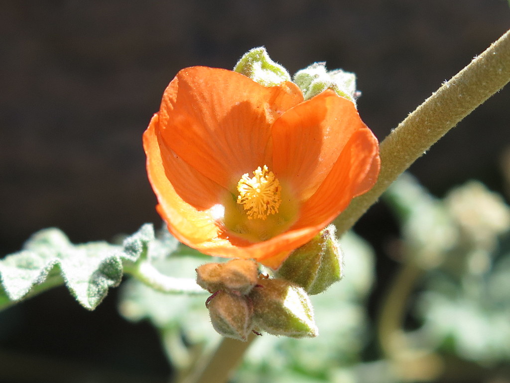
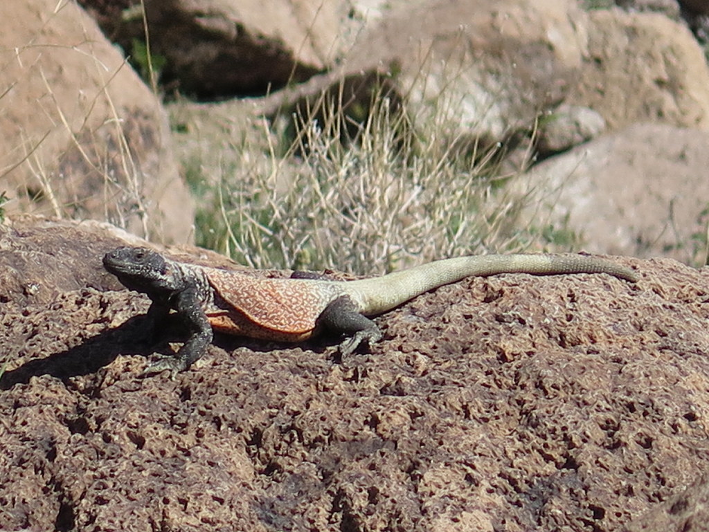
The Barber Loop Trail circumnavigates Barber Peak, which is a prominent peak west of Hole in the Wall Campground. The trail passes the Opaline Cliffs to the northwest, and returns to the Hole-in-the-Wall area via Banshee Canyon. The loop was another opportunity to enjoy the concentration of geologic formations. Desert flowers were in bloom and plentiful. We had a special opportunity to see a male Chuckwalla enjoying the morning sun. Five of us completed the 6.9 mile, 800′ elevation gain loop.
Two hikers opted to hike New York Peak. Despite a good hike description from a book, and some coaching from a local Ranger, they were unable to find the route. The were treated to a private tour of the nearby Rock House, adjacent the Rock Spring Loop Trail. The Rock House is full of history:
“While fighting in Europe during World War I, Bert Smith was exposed to poison gasses used during that war. Returning to the U.S. with scarred lungs, Bert eventually moved to the Mojave Desert in the late 1920s. When Bert built his Rock House and started living here in 1929, it was a desperate attempt to regain his health. Although he expected to survive only a short time, he lived here until 1954 – 25 years!”
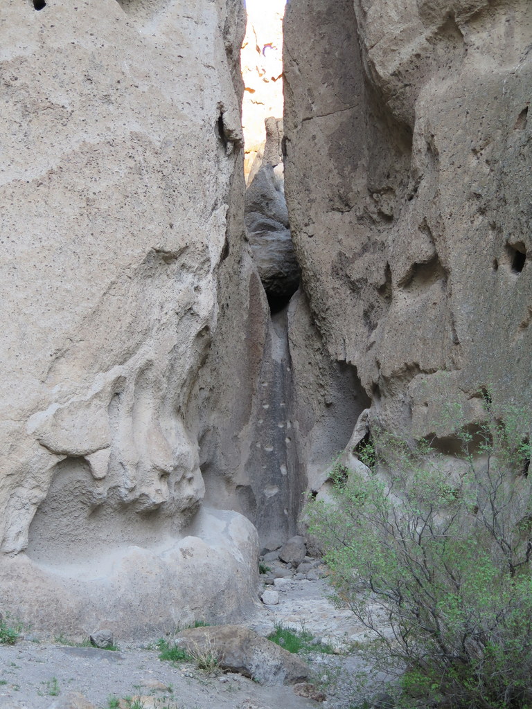
March 16th – Hole-in-the-Wall Rings Loop Trail
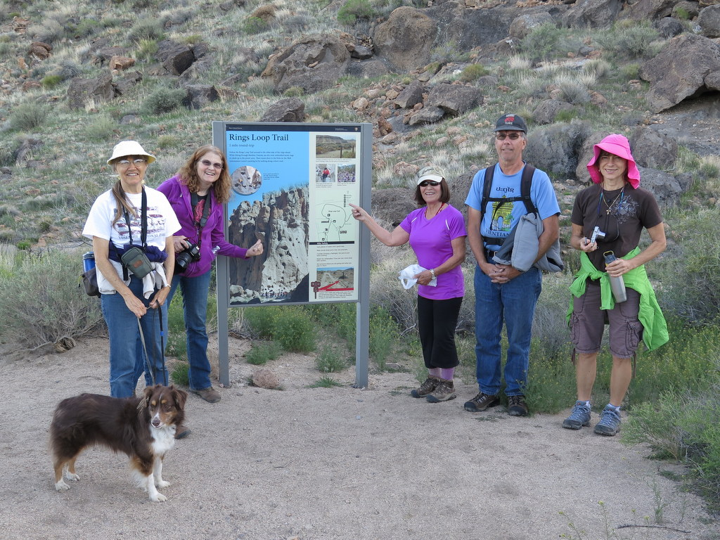
The plan was to arrive at the Black Canyon Equestrian & Group Campground mid to late afternoon, set up up tents/RVs, and then hike the nearby Hole-in-the-Wall Rings Loop Trail. “The best laid plans of mice and men often go awry.” Les’ Jeep broke down just east of Barstow, so sadly Les and Gary were unable to attend the event.
The Hole in the Wall area is a geologic wonder. From the USGS website: “About 18.5 million years ago, a powerful volcanic eruption blasted outward from the nearby Woods Mountains. Propelled by the force of rapidly rising and expanding gasses, a ground-hugging cloud of ash and rock fragments spread out at near super-sonic speeds across the countryside. Some of the rocks thrown out by the blast are 14-20 meters (60 feet) across – the largest ever documented! An area of over 600 km was covered with ash and rock fragments so hot that they welded together after they reached the ground. Almost instantly, hot, suffocating ash buried every living thing in the path of the blast. Whatever birds, mammals, and plants once flourished in Mojave Preserve at that time now lie entombed beneath the volcanic tuff that forms the colorful cliffs of Hole in the Wall.”
Six hikers completed the 2 mile, 200′ elevation loop and then headed back to the campground. The campground was spacious, quiet, isolated and clean. It was designed to support 50 people. Seven of us had the whole place to ourselves. Even the pit toilets didn’t smell. We all turned in early in anticipation of our adventures the next morning.
March 12th – Conejo Mountain

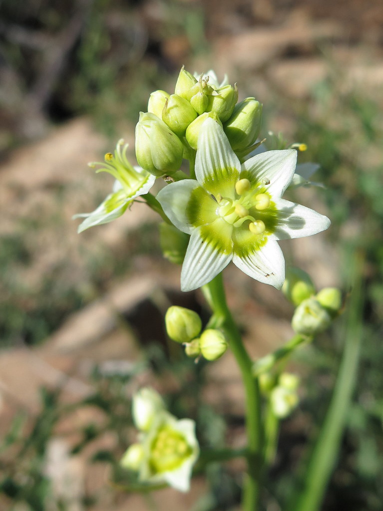

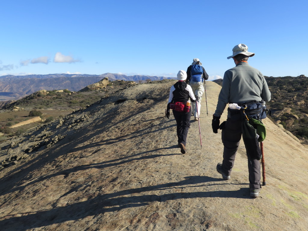
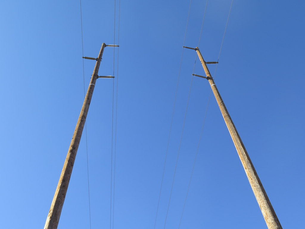
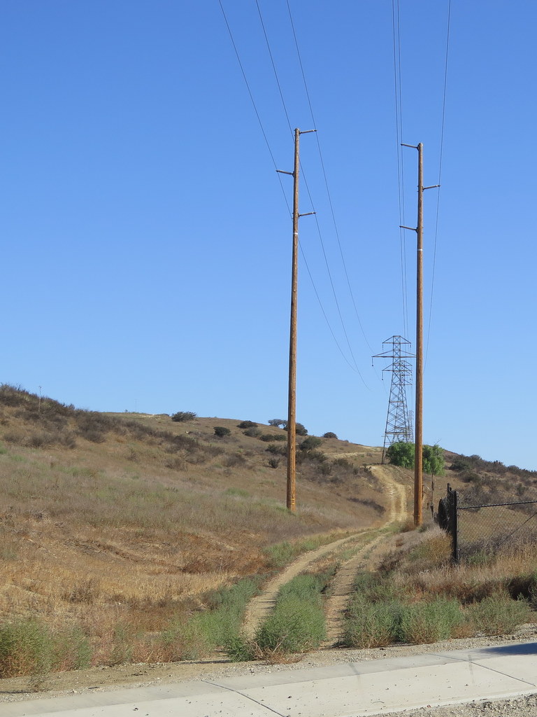
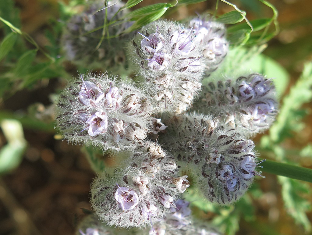
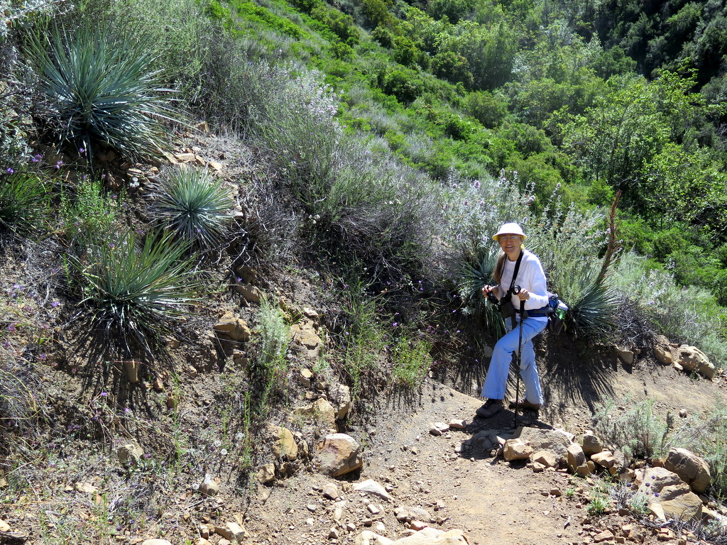
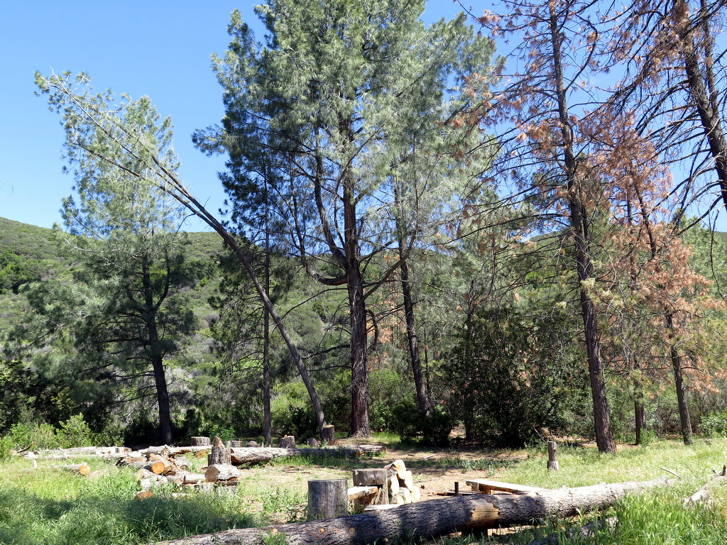
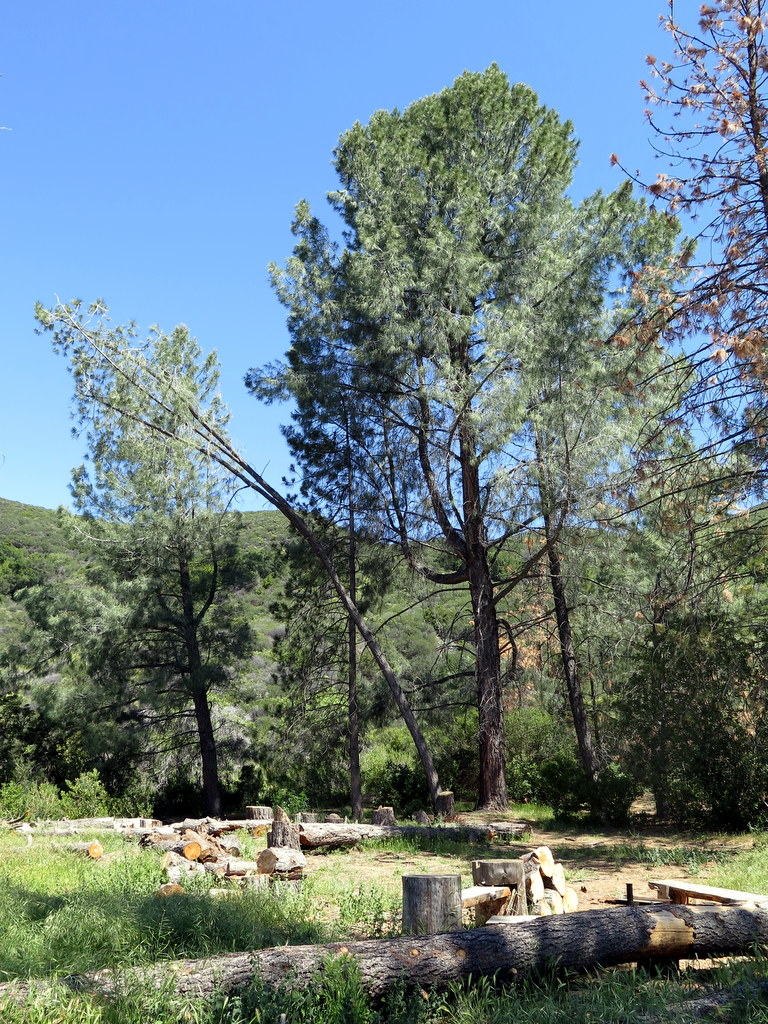
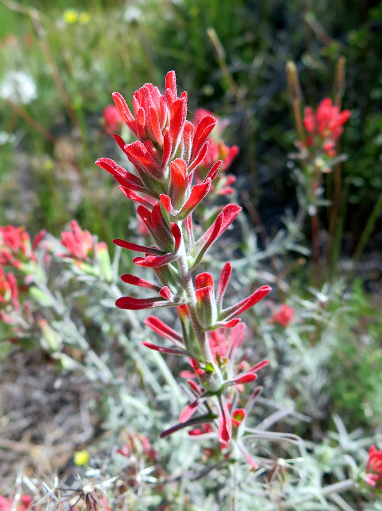
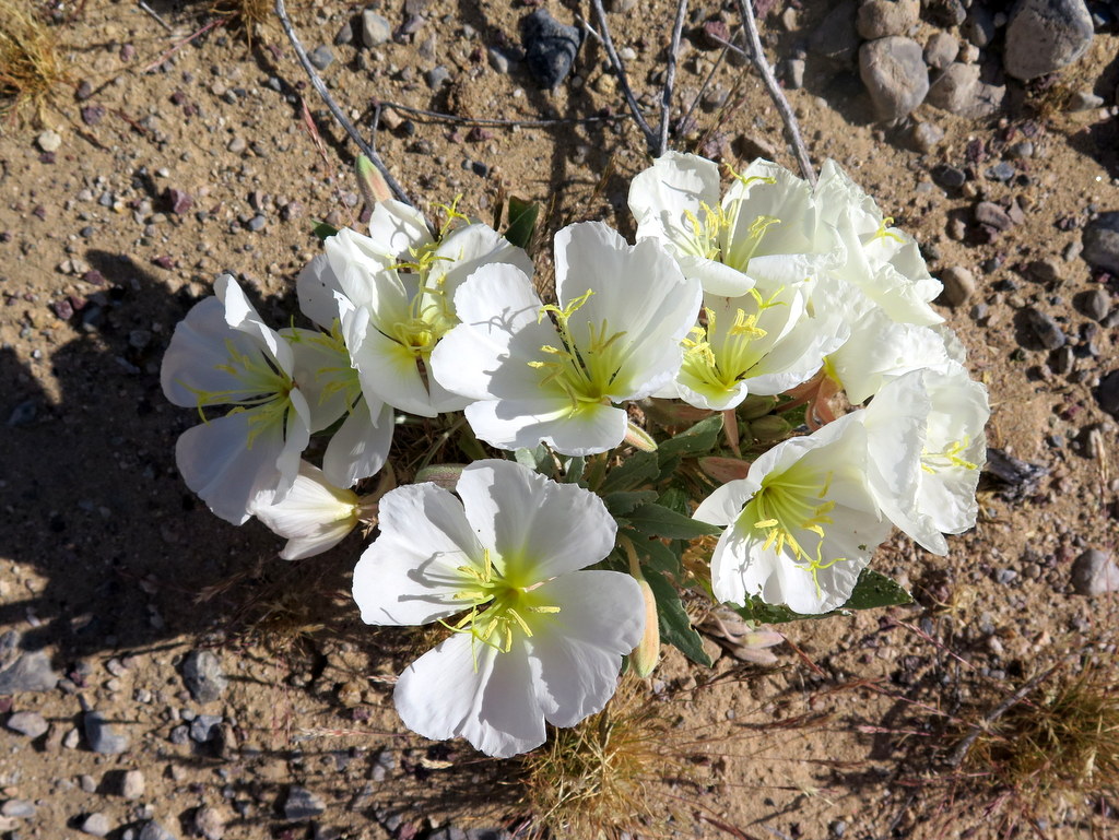
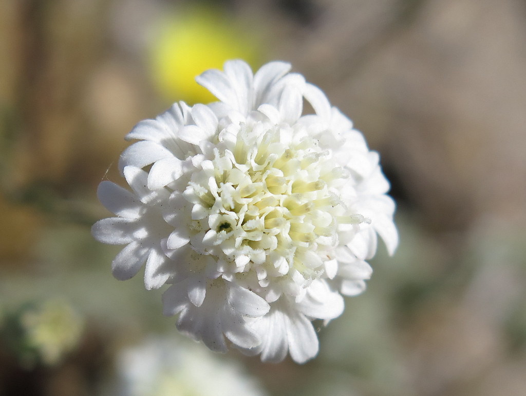
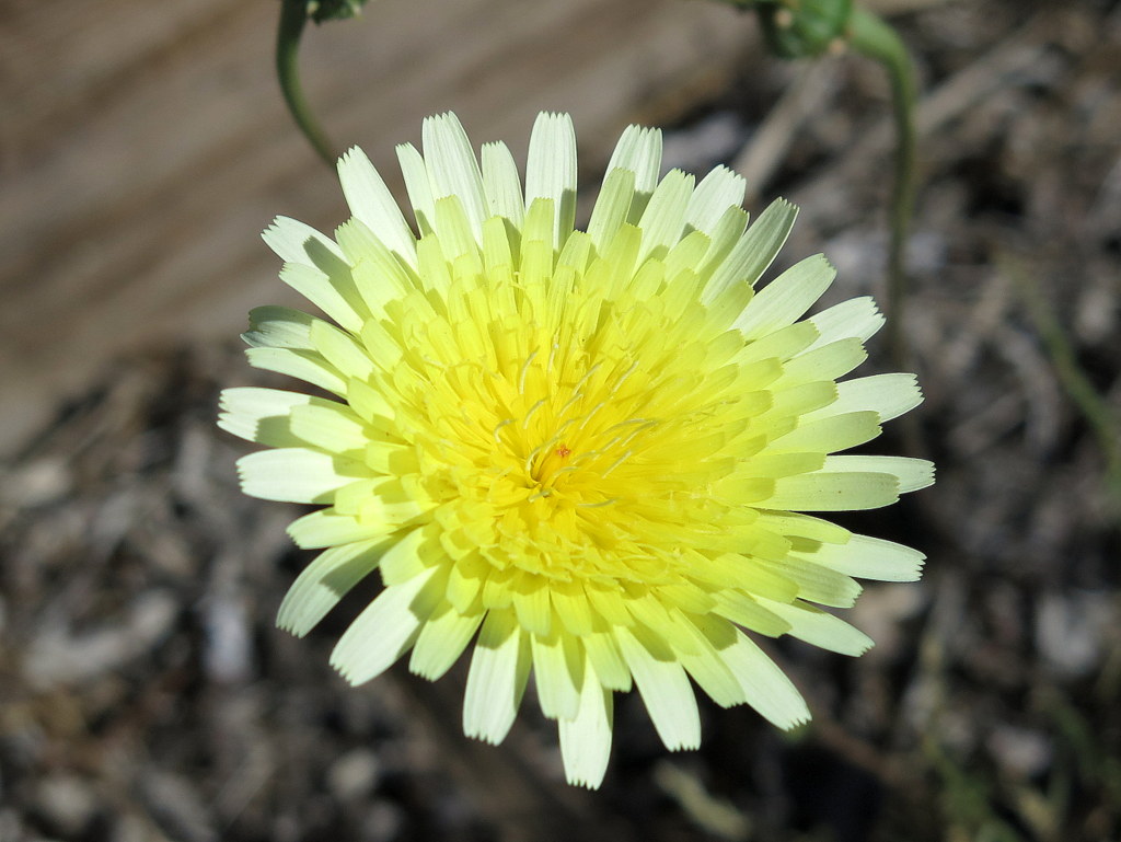
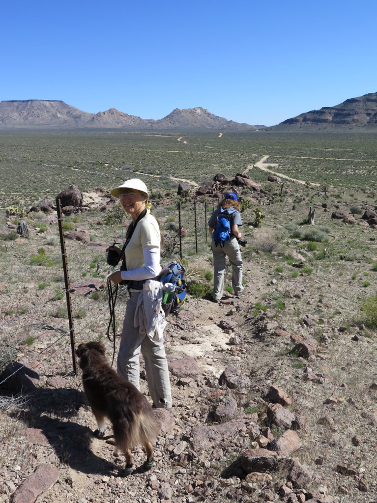
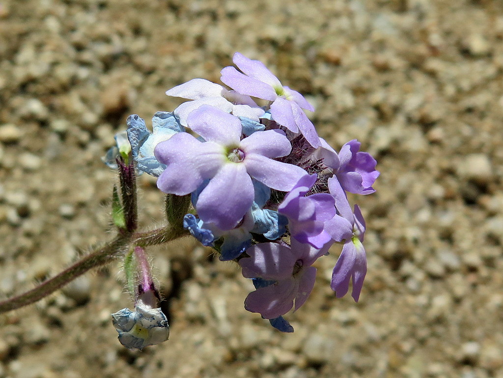
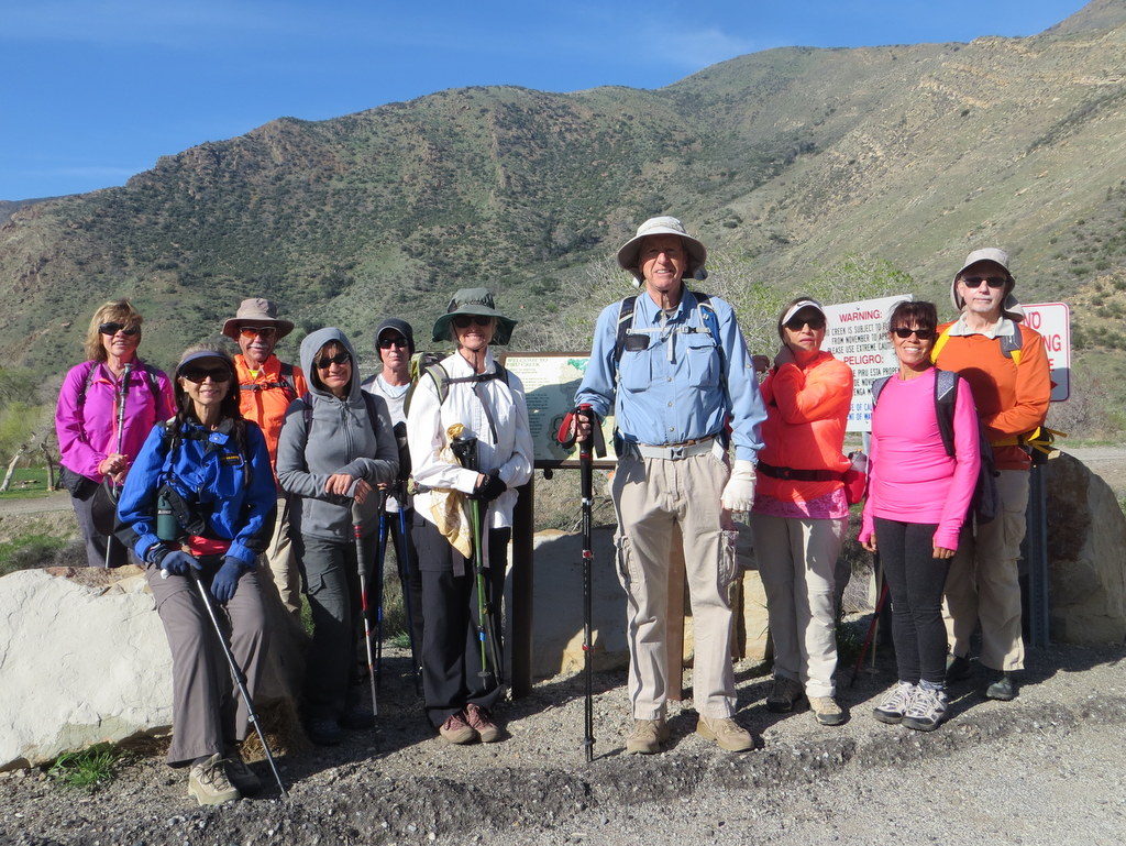
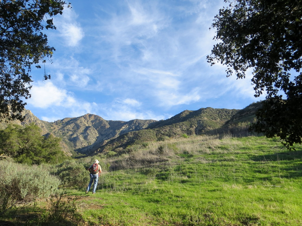
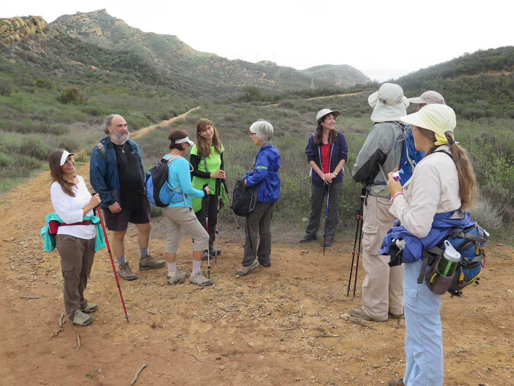
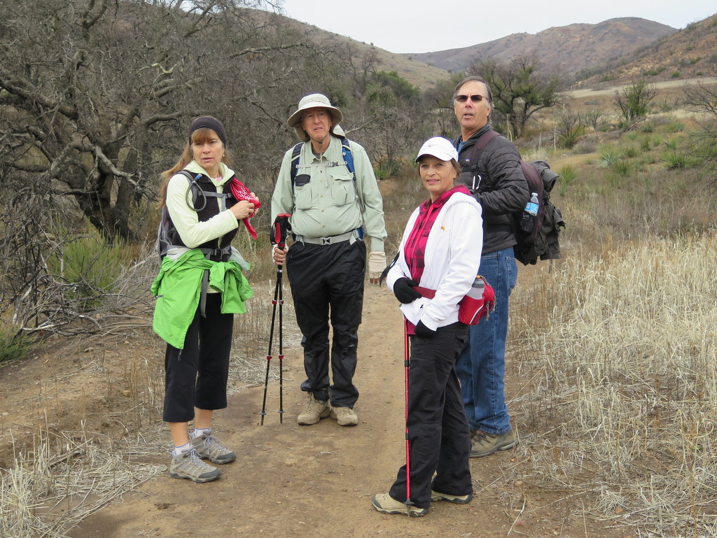
15 hikers assembled at the signed “Powerline Trail” trailhead on Via Ricardo in Newbury Park on a lovely spring-like morning – the sky was a clear blue with a few puffy white clouds, the temperature was perfect for hiking up a mountain, and there was a wide variety of blooming wildflowers on the mountainside. The trail began gently enough and soon afforded us with views of Old Boney Mountain to the east. As we reached the Edison Road we had a brief view of Camarillo and beyond to the west. We followed the Edison Road through a landscape littered with volcanic detritus to a spur road that led up to a pair of power transmission towers at which point we regrouped and followed a “use” trail which led steeply up the eastern flank of Conejo Mountain. We were in luck since the previous day’s rain had softened the dirt on the steepest section of the trail (which improved traction), but had not made it muddy. Once we summited the eastern portion of the mountain, we could see our destination: the highest point on the mountain which is “marked” by a small man-made rock cairn. We followed the “use” trail across the rock-strewn landscape to the “peak” of Conejo Mountain where we enjoyed 360-degree views of both near and distant mountains, the Pacific Ocean, and parts of several cities. We retraced our route to Via Ricardo and returned home having completed a very pleasant 5.5-mile hike with 1,600′ of elevation gain/loss on a beautiful day.
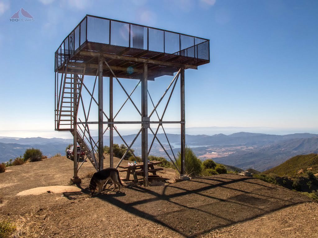
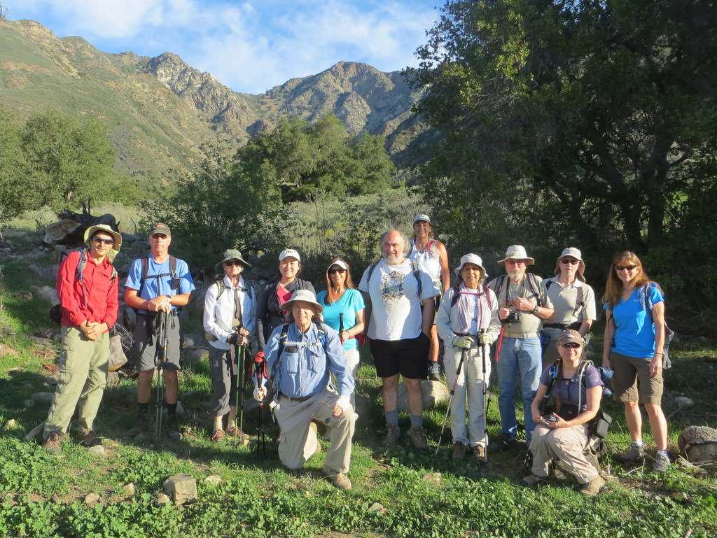
February 28th – Slide Mountain Fire Lookout from Frenchman’s Flat
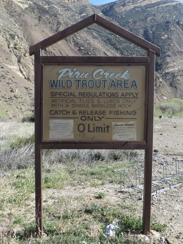
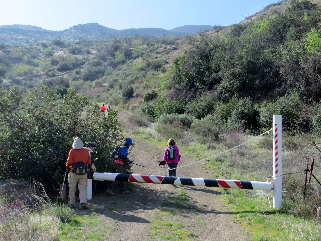
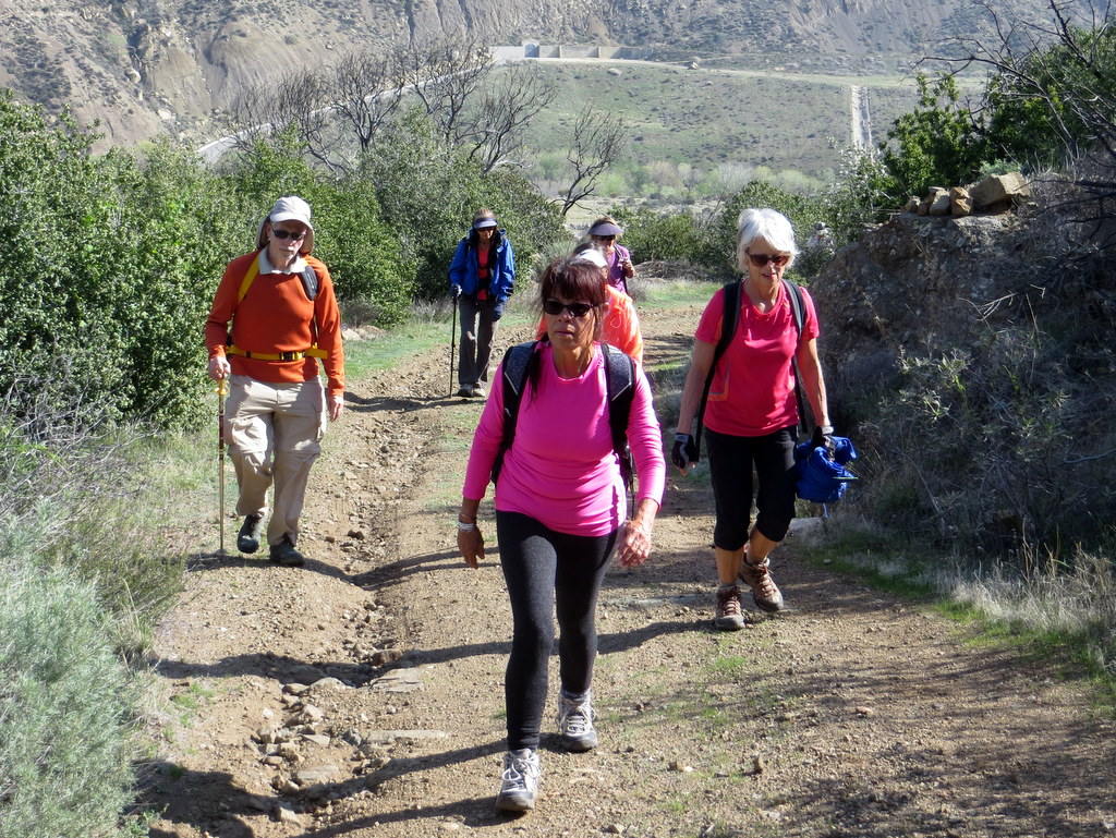
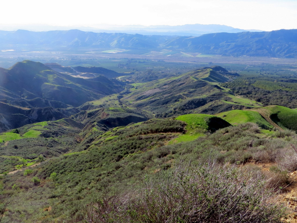
6 hikers met at the carpool point on a pleasant late-winter morning. Upon reaching Frenchman’s Flat (2,068′), the starting point of our hike, we were greeted by 7 additional hikers (and two dogs) who joined us for the hike. We began our hike by walking 1.6 miles northward along a nearly flat, all-but-abandoned section of Old Highway 99 (aka Golden State Highway) toward the Pyramid Lake dam. We were greeted by a fierce 20-mph wind blowing directly at us. The old road crossed Piru Creek on a bridge where we heard and saw the small stream flowing in a pretty wooded riparian area. Soon we reached the entrance (2,210′) to Forest Service Road/trail 18W04 which leads up Slide Mountain. The wind abated as we hiked along the steadily rising well-maintained dirt road to a small parking area known as Kermit’s Corner where the “lookout” had parked his truck. At this point FSR 18W04 became a single-track trail since it is no longer being maintained to the top of the mountain. As we continued upward we enjoyed great views of the surrounding area, particularly of Pyramid Lake to the north, and then of the seemingly endless rows of rugged mountainous ridges to the southwest. Eventually we reached our destination, the Slide Mountain Lookout Tower (4,631′) built in 1969; it is now “manned” by volunteers during the “fire season” and is the only remaining active fire lookout in the Angeles National Forest. Saturday’s volunteer, Kevin LaSota, kindly greeted us, shared some history about the lookout, and hosted us for a very interesting tour inside the lookout tower from which there are truly spectacular 360-degree views including Mt. Pinos, Frazier Mountain, Hungry Valley, Pyramid Lake, Santa Clarita, the San Gabriel Mountains, Lake Piru, the Sespe Wilderness, the Santa Clara River Valley, and the Santa Susana Mountains. We retraced our route to Frenchman’s Flat and returned home having completed a pleasant 11.5-mile hike with nearly 3,000′ of elevation gain/loss on a nice day with good visibility.
February 13th – Santa Paula Peak
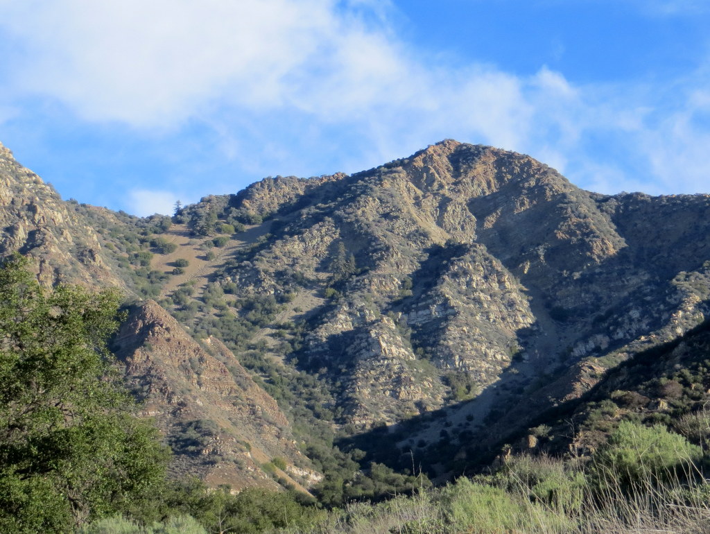
14 hikers carpooled to the entrance to a private ranch along Highway 126 a few miles west of Fillmore on a cool morning. After passing through a locked gate, we drove north several miles on paved and deeply rutted dirt roads to a parking area at the beginning of the route leading up to Santa Paula Peak (access to this trailhead is by permission/invitation only). After taking group photos, our strenuous hike began easily enough along a dirt road that passed through a beautiful oak woodland with lots of bright green grass. Soon we reached a hard-to-spot junction with the narrow, sloping, neglected trail (USFS 20W16) leading up the mountain. As we climbed steeply upward through chaparral and scrub, we were soon rewarded with great views of Santa Paula Peak (4,957′), nearby mountains, and pretty green mountainsides. The trail on the eastern flank of the mountain rose unrelentingly via switchbacks and provided ever-improving views of the surrounding area including the Santa Clara River Valley. We eventually reached the easy-to-miss spur trail leading to the peak; it presented a triple-threat challenge: it was narrow, steep, and contained a lengthy field of rocks that required extra caution to cross (and some of the needle-sharp yucca plants couldn’t be missed entirely!). However, once we arrived at the peak the 360 degree panoramic views were spectacular, including the San Gabriel Mountains, the Peninsular Ranges, two of the Channel Islands, the Topatopa Mountains, Santa Clarita, and Ojai. We returned to our vehicles the way we came having completed an 8.2-mile hike with 2,827′ of elevation gain/loss on a warm day, grateful for the opportunity to summit a little-visited peak that once hosted a fire lookout tower.
February 6th – Franklin Trail to the Los Padres National Forest Boundary
9 hikers carpooled to Carpinteria on a mild winter morning where we were met by two additional hikers. Our hike began near the Carpinteria High School as the trail began climbing through agricultural property (mostly avacados), dense chaparral, and rock outcroppings. We were soon rewarded with expansive views of the ocean/coastline, the valley floor, a salt marsh, and three of the Channel Islands including Anacapa Island, Santa Cruz Island, and Santa Rosa Island (vaguely). At the top of the Horton Ranch the single-track trail met the dirt Edison Road which we followed from then on. After stopping briefly at Frank’s Bench, we continued upward, passing through several oak woodlands with bright green grass, ferns, and a few wildflowers. Soon there were excellent views of the Santa Ynez Mountains to the north and we were treated to a gentle ocean breeze during the remainder of the hike. We turned back near the boundary of the Los Padres National Forest after hiking a little over 5 miles. Eventually the restored Franklin Trail will again reach East Camino Cielo (aka Divide Peak OHV Road) and will join the Alder Creek Trail which leads down to Jameson Lake/Reservoir to the north. We returned to our vehicles having completed a 10.5-mile hike with nearly 2,400′ of elevation gain/loss.
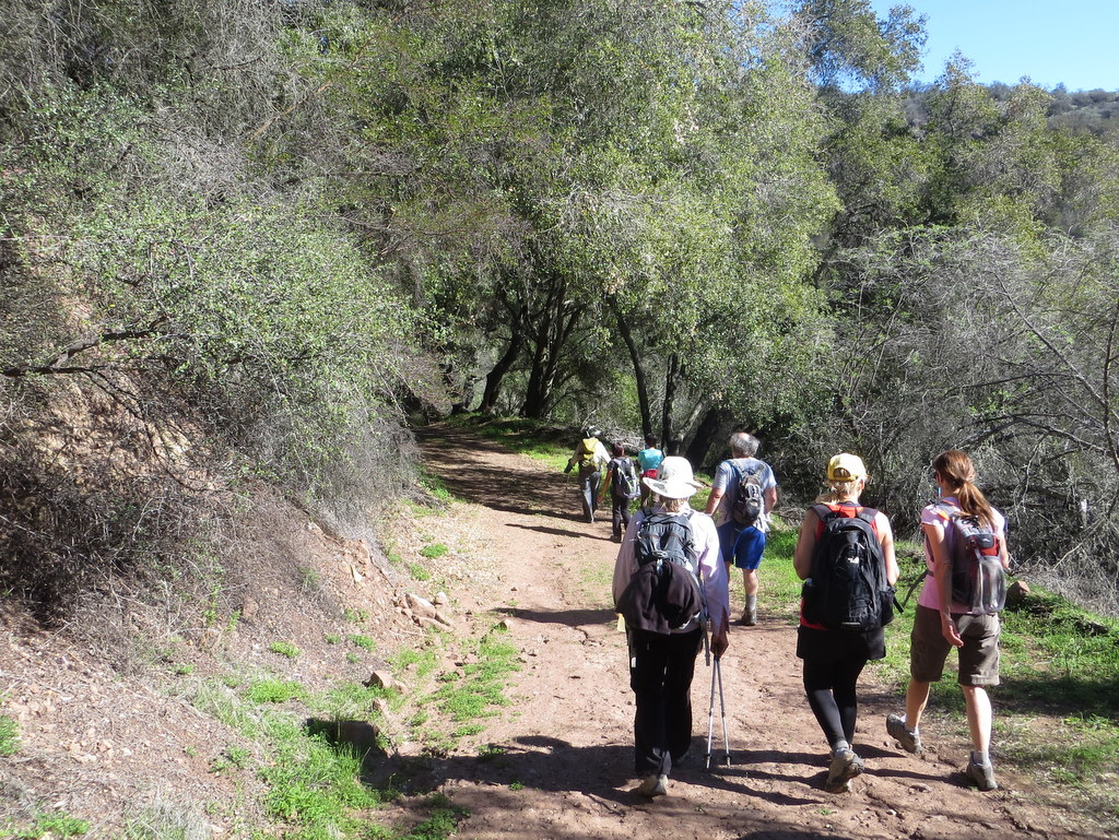
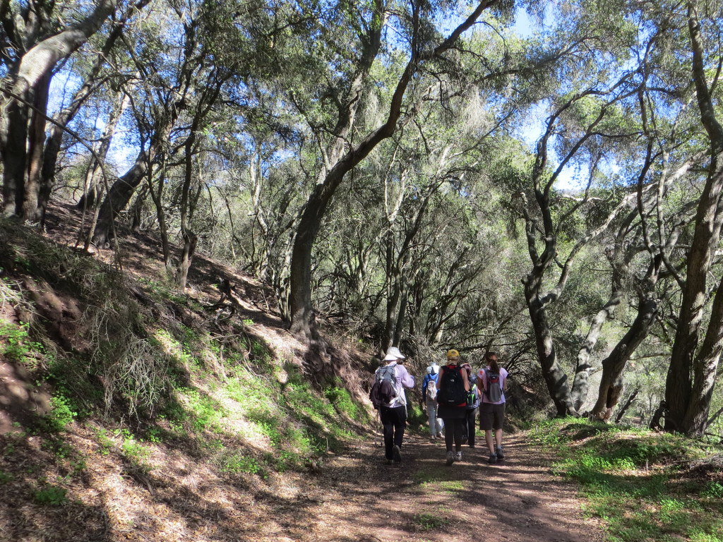
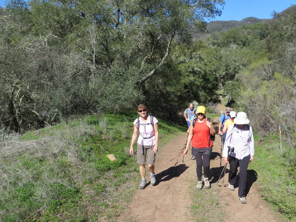
January 30th – Oak Flat Trail to Whitaker Peak to Old Highway 99
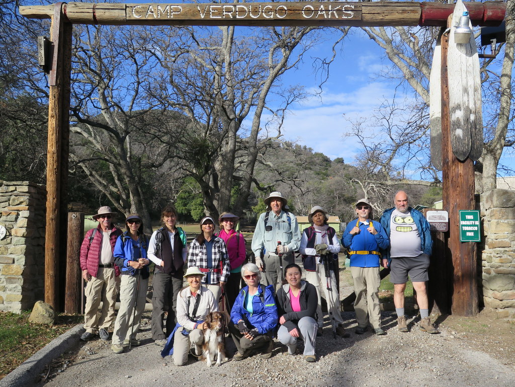
10 hikers met at the carpool point on a cool overcast morning. Since it was to be a one-way hike, we took three vehicles to the hike’s end-point at the east (lower) end of Whitaker Peak Road (6N53). After dropping off one vehicle there, we carpooled to the hike’s starting point in a large dirt parking area just outside the Verdugo Oaks boy-scout camp (2,831′) where we were met by three additional hikers who live in the area. As we began our hike, we headed southward up the well-maintained Oak Flat trail as it rose 1.5 miles through an oak woodland and then chaparral to the Whitaker Ridge dirt road (3,820′), enjoying scenic views to the east and north including Pyramid Lake. We followed the Whitaker Ridge Road southeastward down to its junction with Whitaker Peak Road which we then followed southwestward up to its end (4,119′), enjoying “ever-widening vistas of fault-tortured canyon country” and a growing “ocean” of low-lying white clouds which blocked a view of Lake Piru to the south. After a rest stop, we returned down Whitaker Peak Road all the way to Old Hwy 99 [aka Golden State Hiway] where our shuttle vehicle awaited. After retrieving our remaining vehicles we returned home having completed a pleasant 9.7-mile hike with 1,900′ of elevation gain and 1,785′ of elevation loss on another cool crisp winter morning.
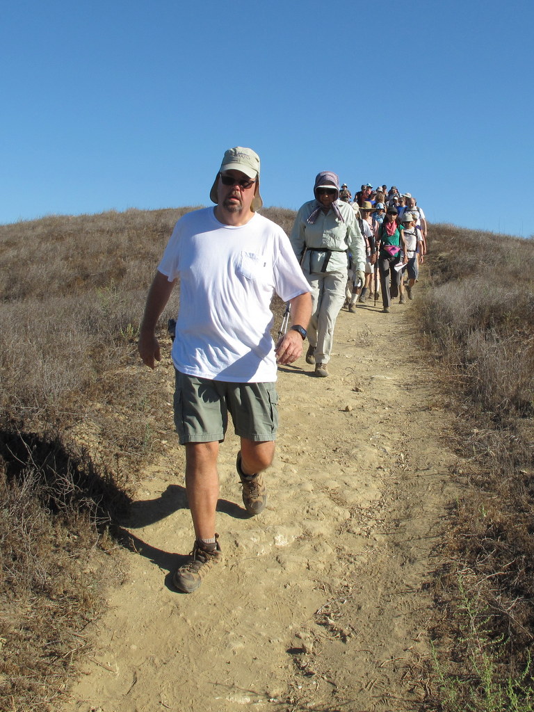
January 23rd – Sunset Hills Open Space to Oakbrook Regional Park Hike (Shuttle)

20 hikers met at the carpool point on a cool overcast morning. Since it was to be a one-way hike, we took eight vehicles to the hike’s end-point at the northwest end of Falling Star Avenue in Oak Park. After dropping off four vehicles there, we carpooled to the hike’s starting point in a dirt parking lot along Erbes Road. After the obligatory group photo was taken, we hiked up to a fine overlook of the Bard Reservoir in Simi Valley. As we then followed a trail eastward along the north side of the gated community in Sunset Hills there was enough very light rain to warrant donning rain jackets. Next we headed south into the Lang Ranch Open Space where we experienced a bit of route-finding confusion which was soon resolved as we followed the Autumn Ridge Trail to Lang Ranch Parkway where a neighborhood park provided a convenient rest stop. Our hike continued as we climbed steeply up the Oakbrook Vista Trail to a high peak which provided a 360-degree panoramic view of the surrounding areas. We then followed the Hidden Meadows Trail to Falling Star Avenue. We retrieved our other vehicles and returned home having completed a pleasant 7.5-mile hike with 1,500′ of elevation gain on a cool crisp winter morning.
January 9th – Mugu State Park – Hidden Pond Trail Lollipop Loop
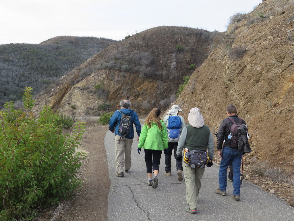
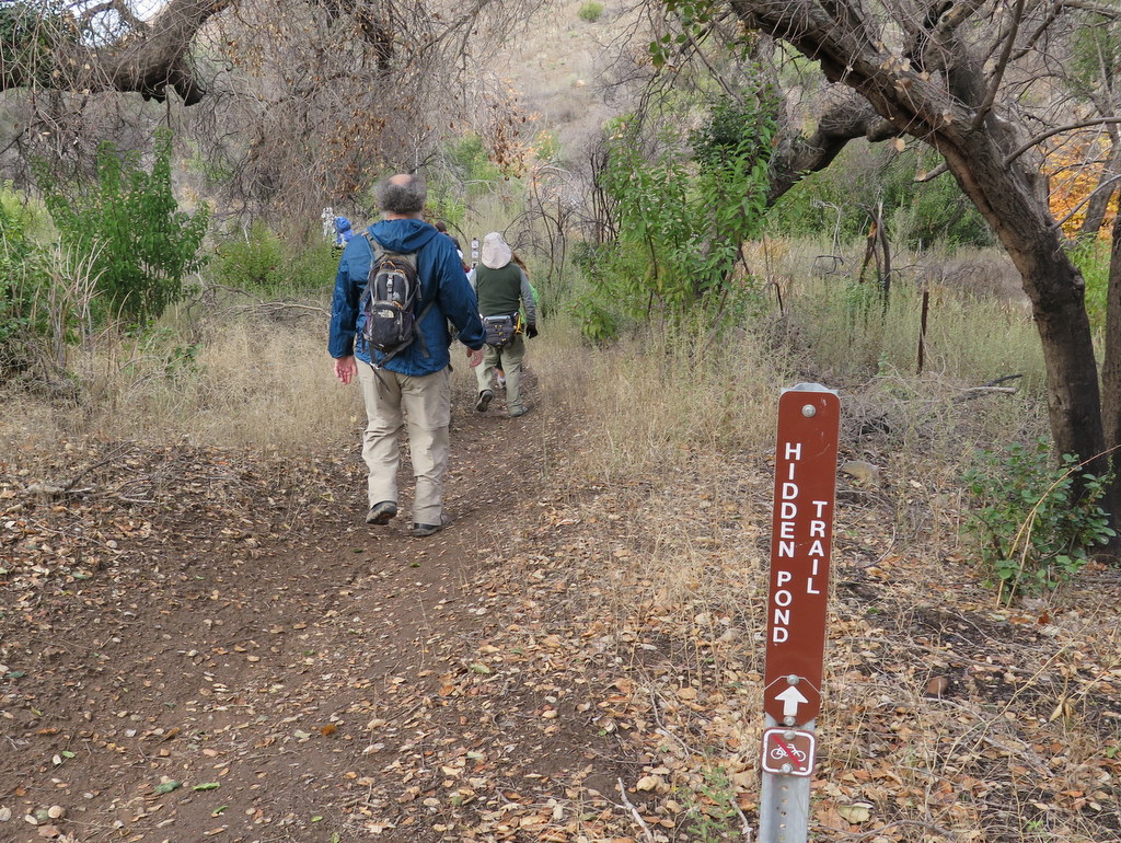
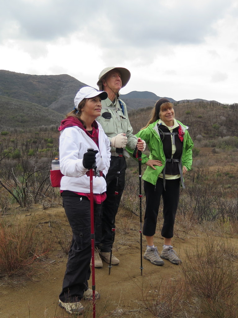
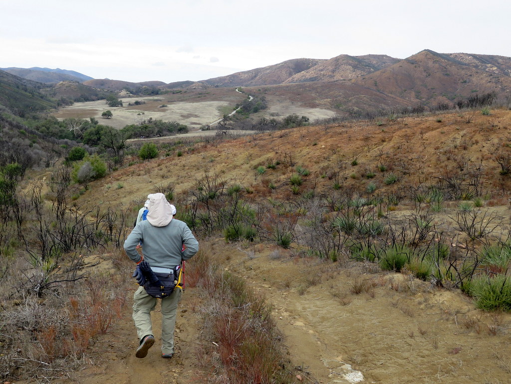
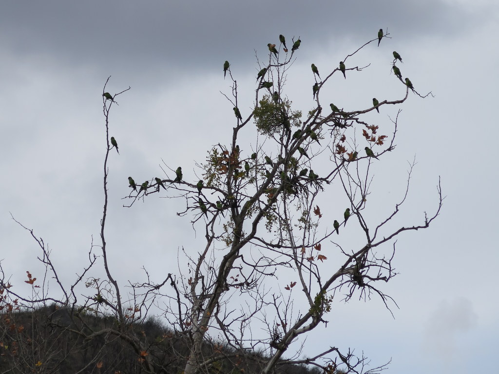
7 hikers carpooled to the main parking lot at the Rancho Sierra Vista site in Point Mugu State Park in the Santa Monica Mountains National Recreation Area (SMMNRA) on a chilly overcast winter morning. Our hike began as we hiked past the Satwiwa Native American Indian Culture Center and descended southward down a paved road into Big Sycamore Canyon. When we reached the bottom of the hill and the paved road became a dirt road, we turned right (west) onto the Hidden Pond Trail and followed it nearly three miles as it rose and fell on its way to Hidden Pond (which held no water) enjoying “backcountry” views along the way, including a flock of bright-green South American parrots. Our hike continued southward along the 2.2 mile Coyote Trail as we climbed along a ridge that provided excellent canyon and mountain views of the surrounding area. When we reached the Two Foxes Trail we stopped for a lunch/rest break. We then headed northward along the Two Foxes Trail and the Sin Nombre Trail (with its pleasant oak woodland) to a section of the Hidden Pond Trail and retraced the first part of our hike back to our vehicles, thus completing a 12.1 mile hike with about 2,400′ of elevation gain/loss on what turned out to be a good day for hiking.
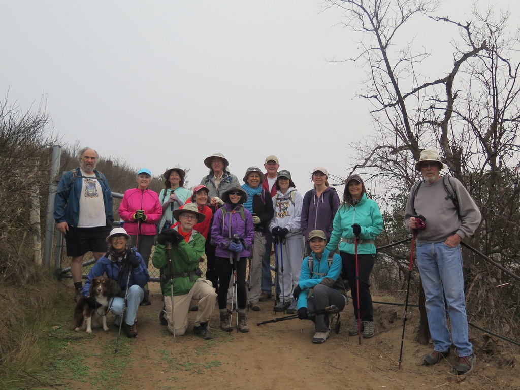
January 2nd – Charmlee Natural Area Loop
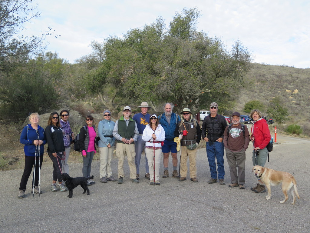
12 Trail Blazers met at Donut Delite, and carpooled to the Charmlee Natural Area parking lot, where we met 3 more hikers. It was a cool and mildly overcast morning and the light was especially good for taking scenic pictures. As we climbed to several good lookout points along the trail, we could see Santa Catalina, Santa Barbara, Anacapa and Santa Cruz Islands in the distance. In 1950, Leon and Charmian Schwartz bought the Park, hoping to build a golf course on the property. The name “Charmlee” is a combination of the first parts of their first names. We visited the remains of the only permanent structure in the Park, an A-frame ranch house, which burned to the ground in 1978. There’s something special about Charmlee that is difficult to express. Hiking its beautiful wooded canyons, experiencing the many colors of the eroding sandstone rocks, and of course taking in the expansive views, all contribute to this peaceful and tranquil place. Our leisurely hike was enjoyed by everyone. Total distance was 4 miles, with about 625′ of elevation gain and loss.