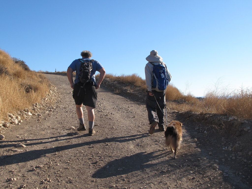
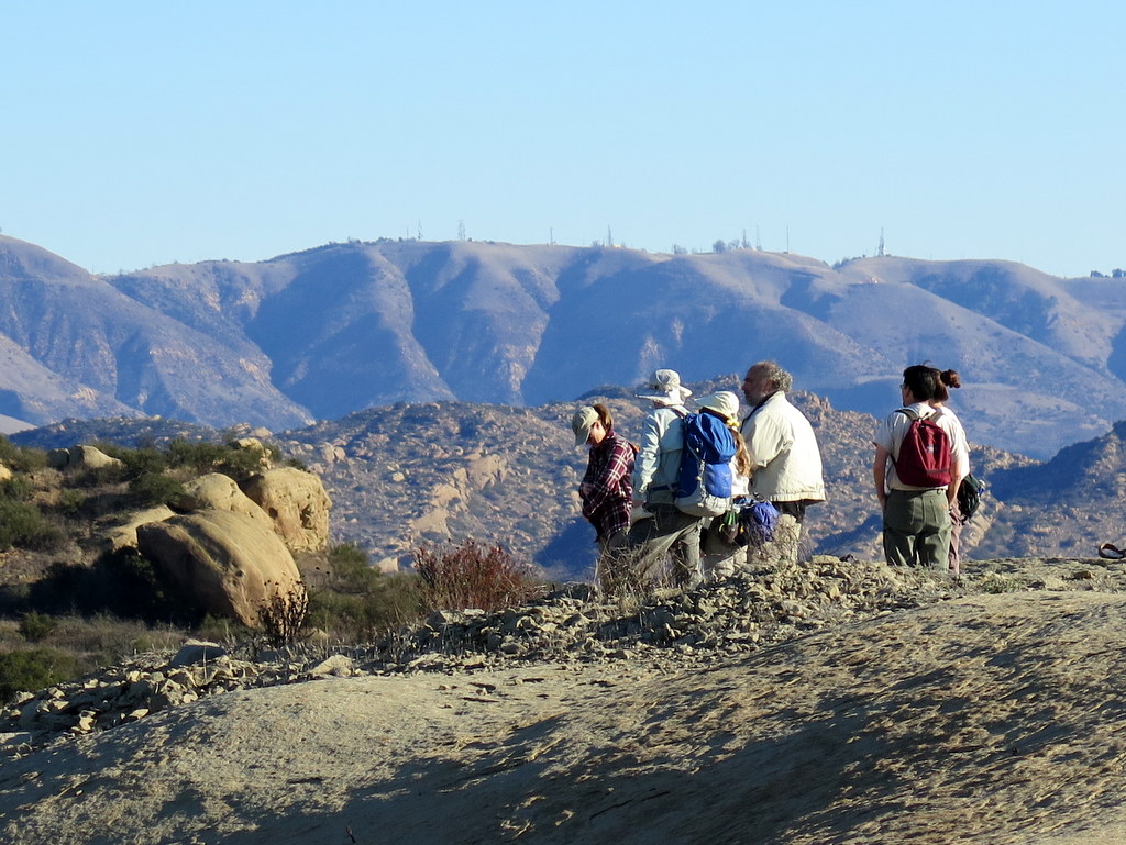
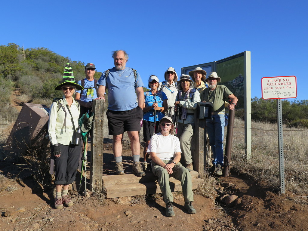
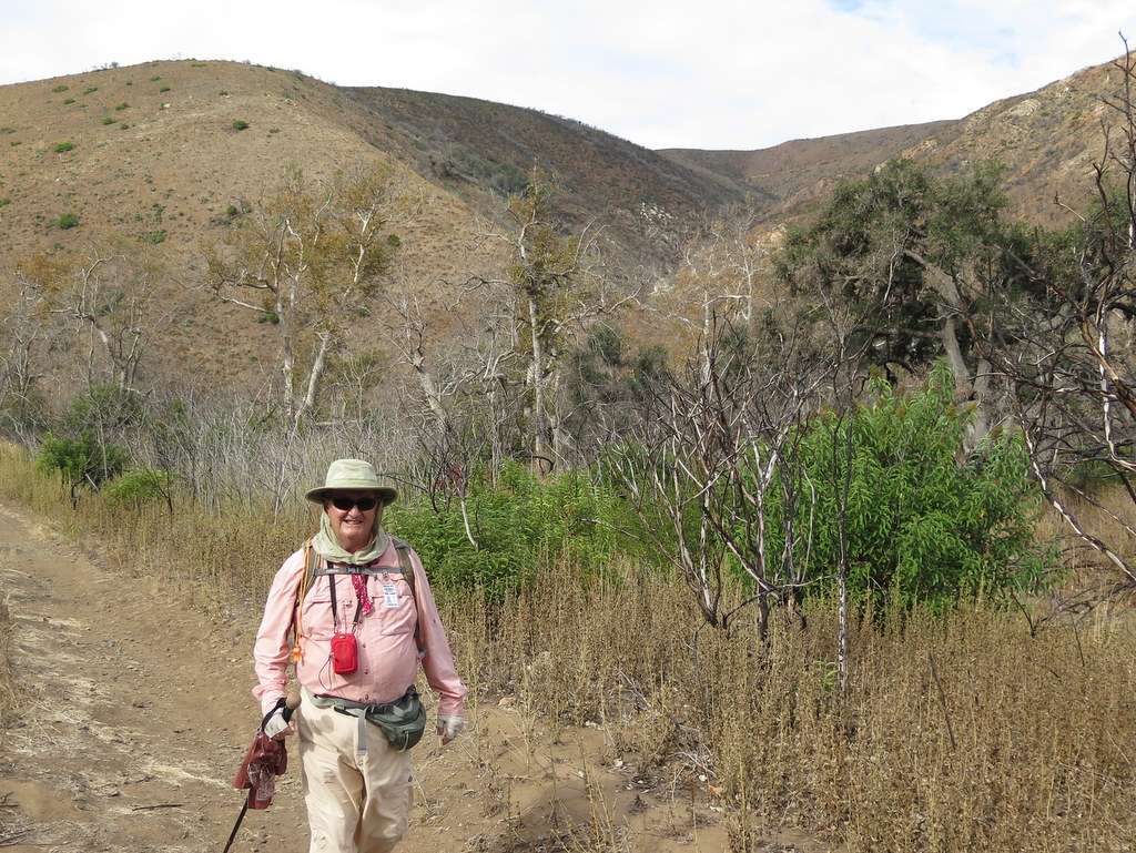
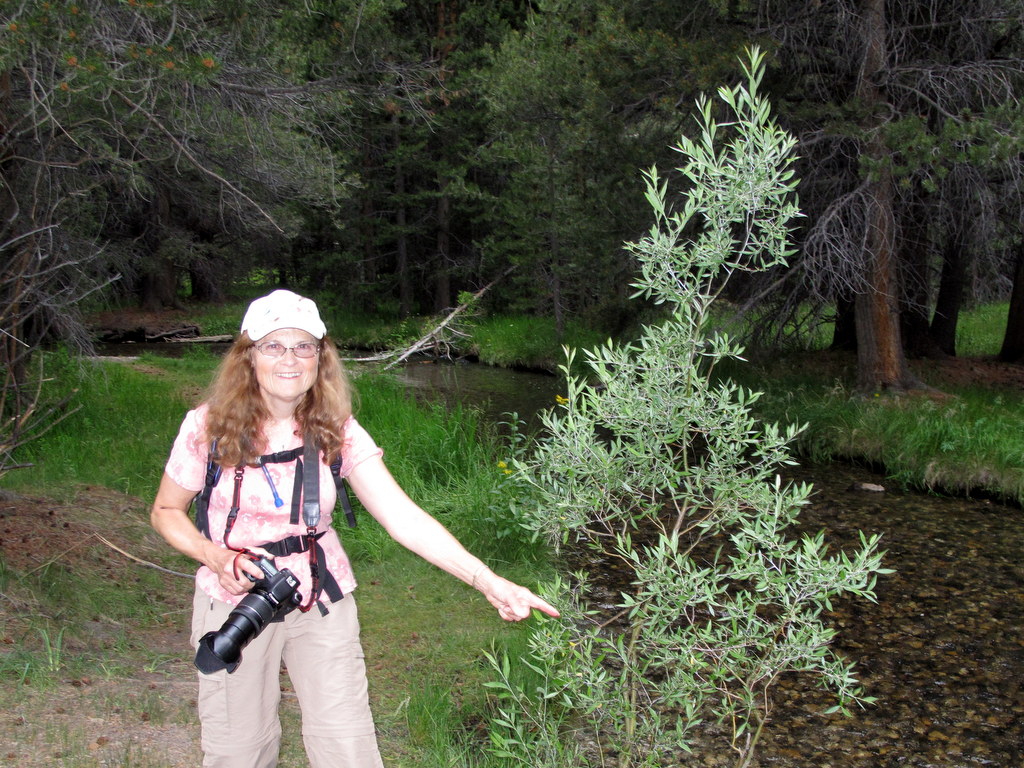
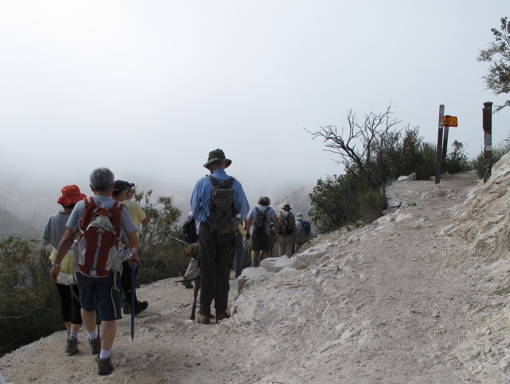
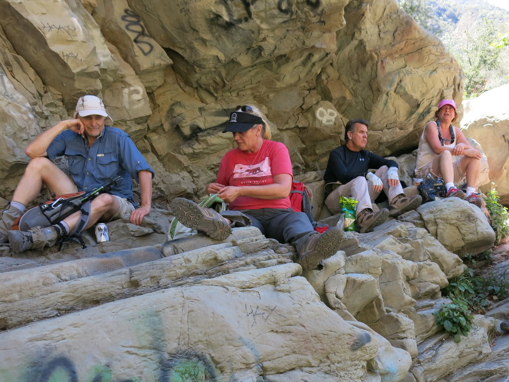
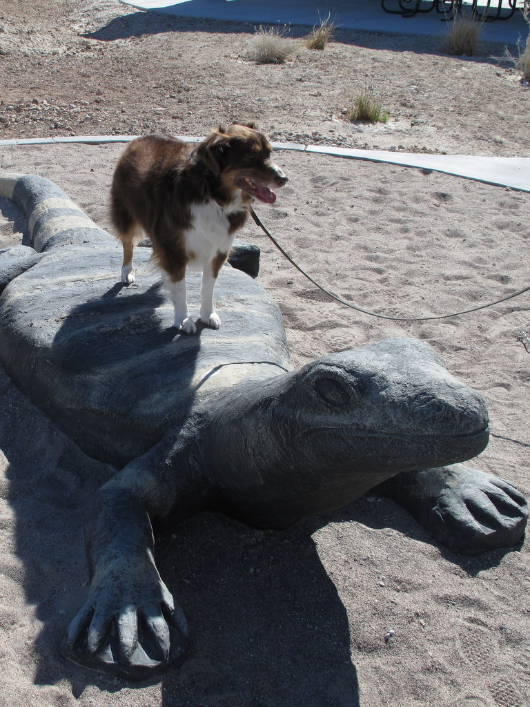
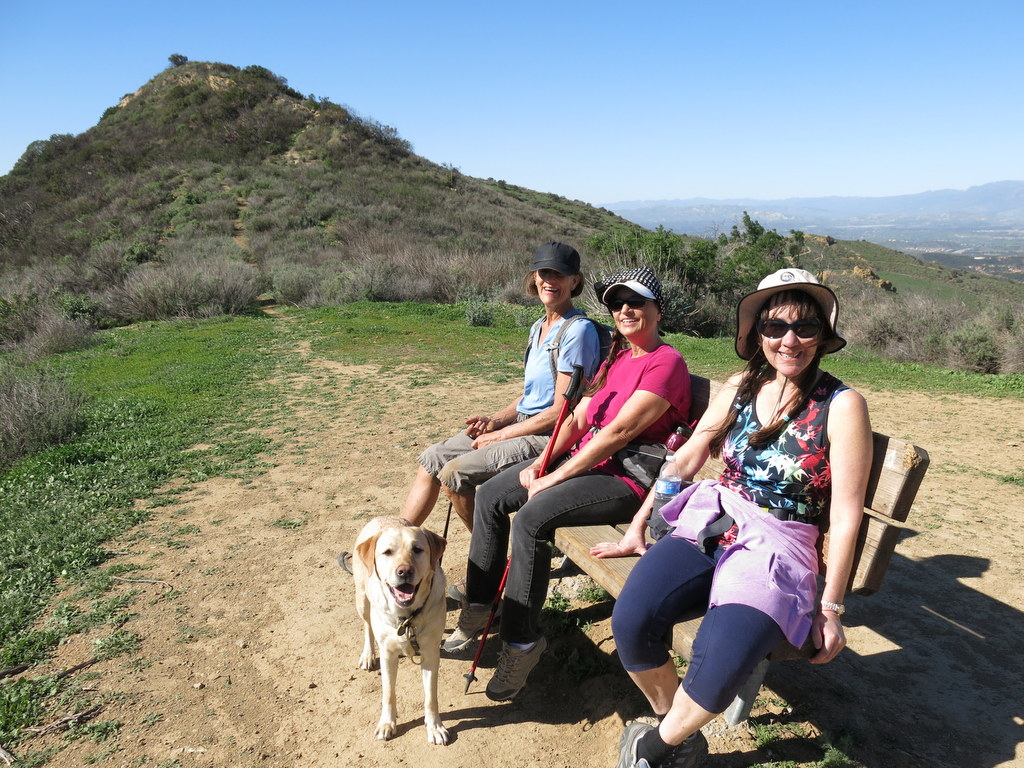
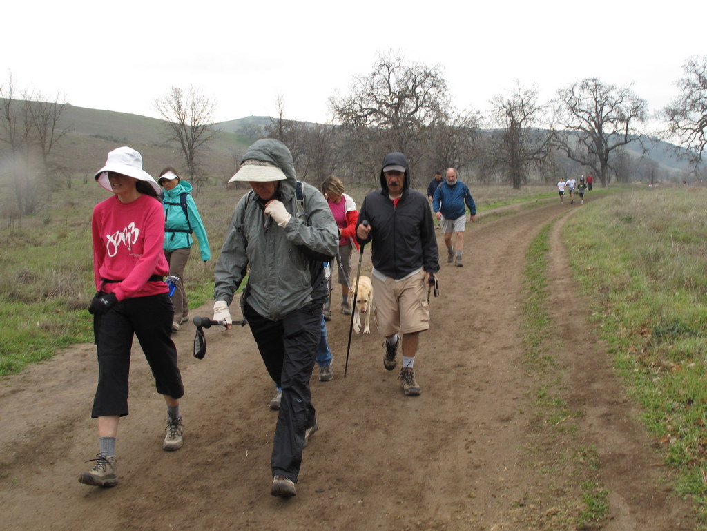
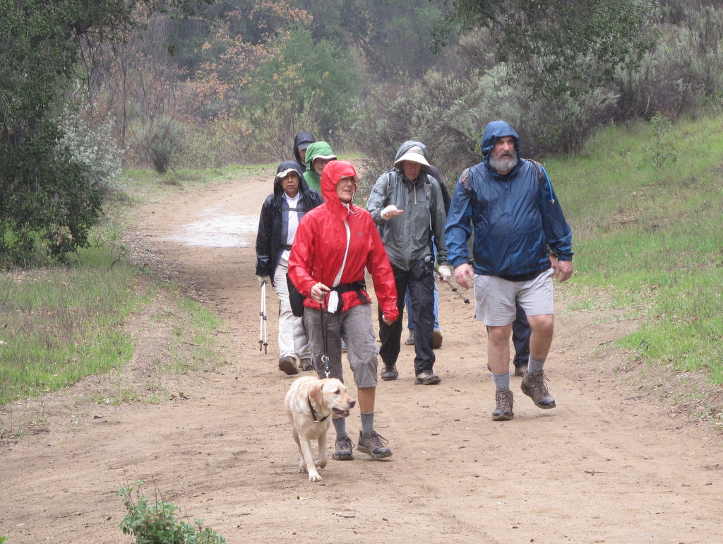
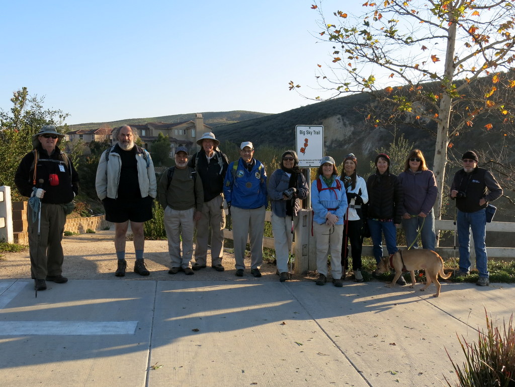
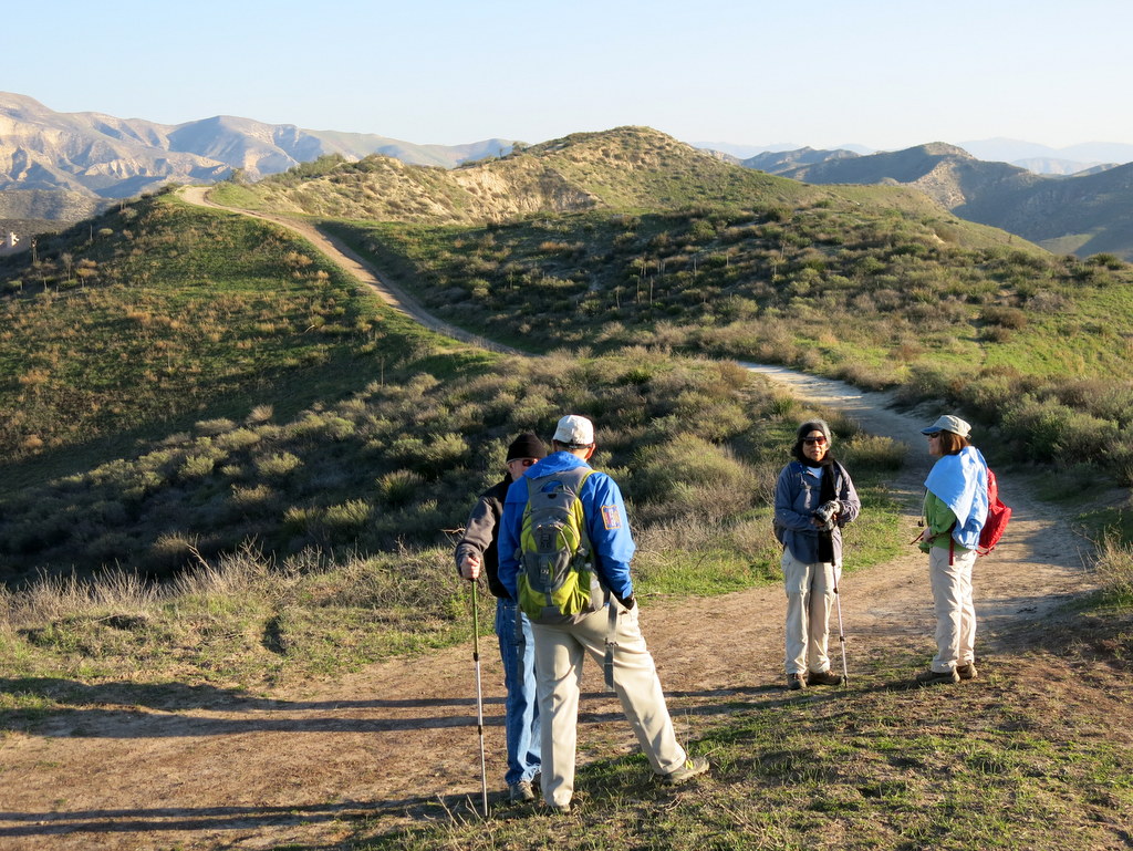
December 26th – Big Sky Loop
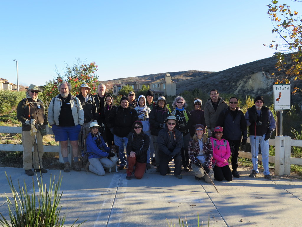
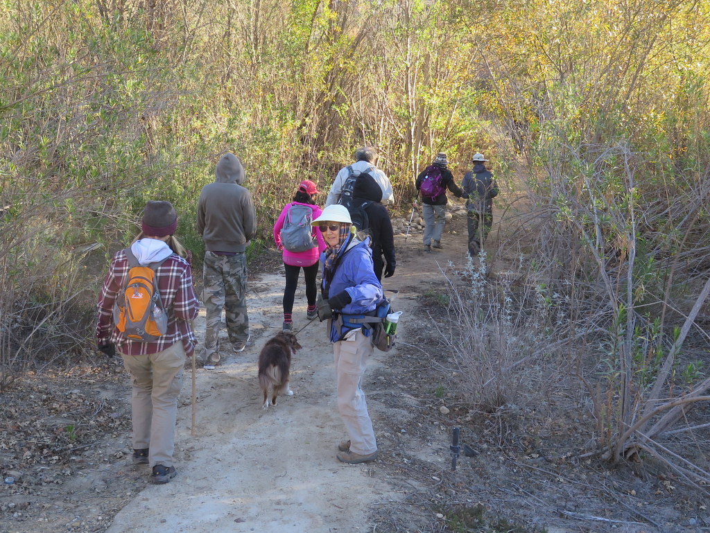
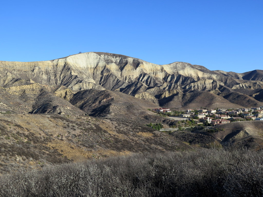
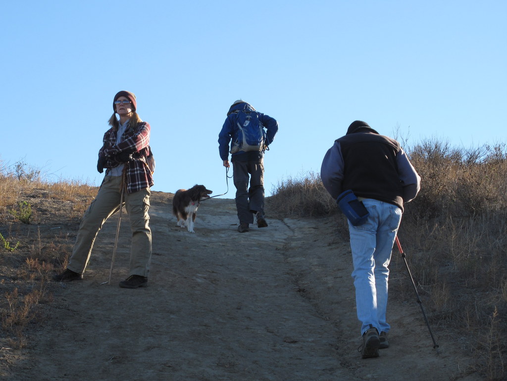
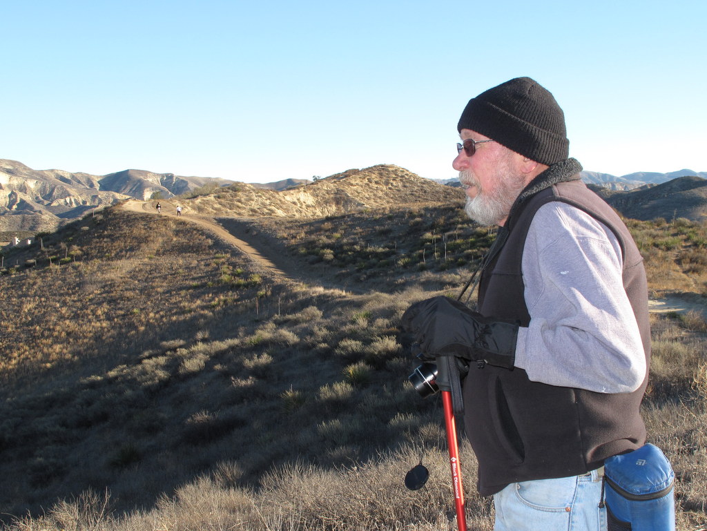
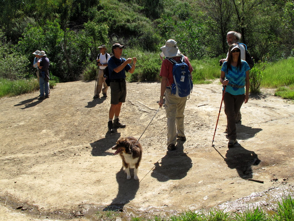
22 hikers (and one dog) met along Big Sky Place in Simi Valley on a chilly-and-windy early-winter morning for our last hike of the year. After a short walk northward on a sidewalk along Erringer Road we turned east onto the well-signed Big Sky Trail. After crossing a dry streambed, we began the loop portion of the hike as we climbed fairly steeply up to the north-south ridge to the east of the development. Upon reaching the very windy ridgetop we enjoyed views of the surrounding area including the west end of Simi Valley, the Santa Susana Mountains (particularly Whiteface Mountain), and the Simi Hills. We continued our hike by heading north along the ridge nearly to Lost Canyons Drive at which point the trail turned sharply to the south as it wound its way along the oak-lined stream that runs through the Big Sky development. Fortunately the wind had abated somewhat and we finished our invigorating outing having completed a 4.7-mile hike with 900′ of elevation gain/loss.
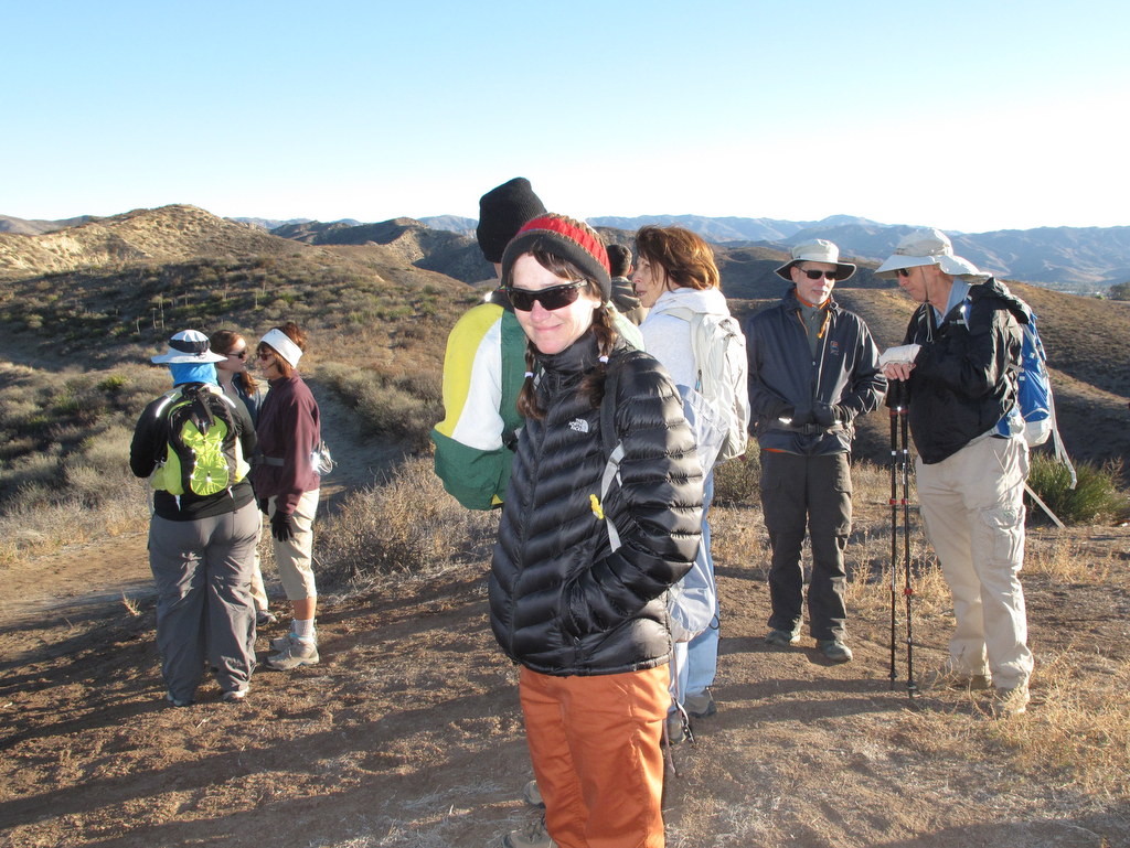
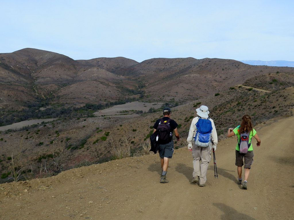
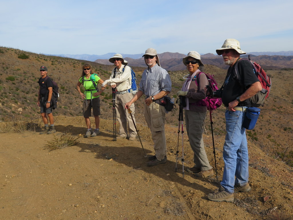
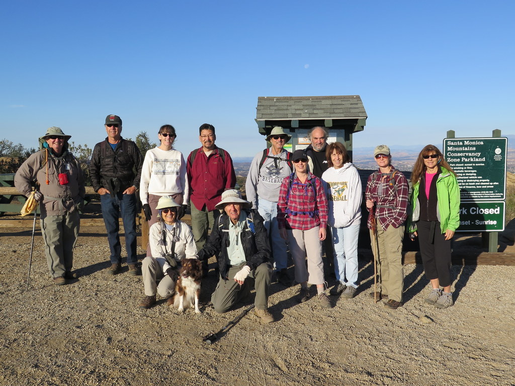
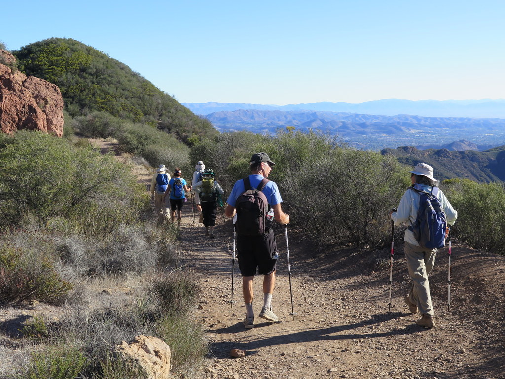
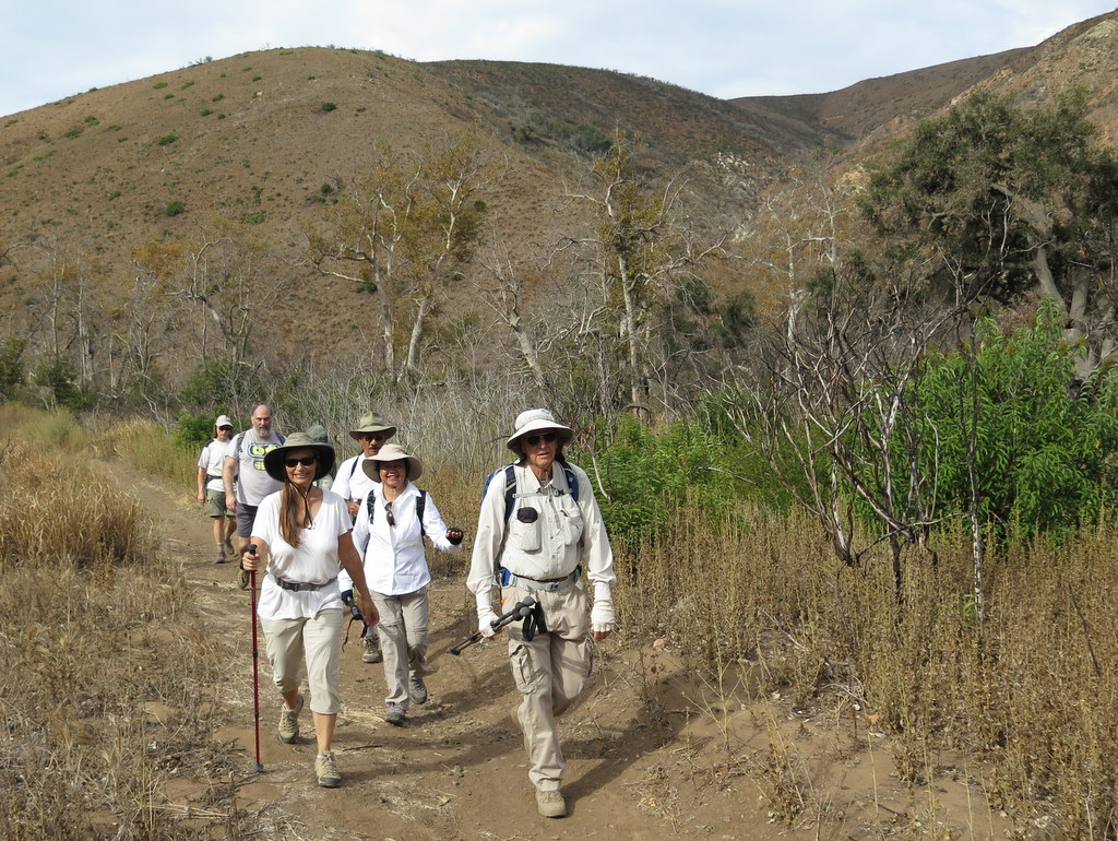
December 12th – Zuma Ridge Trail and Ocean View Trail Loop Hike
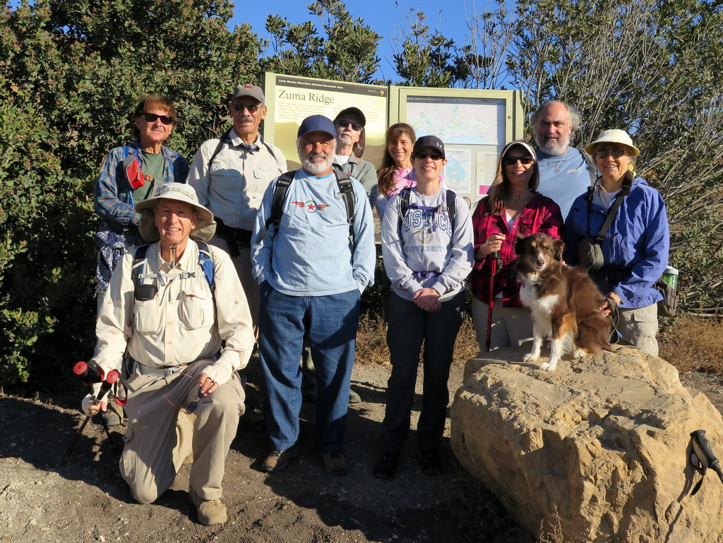
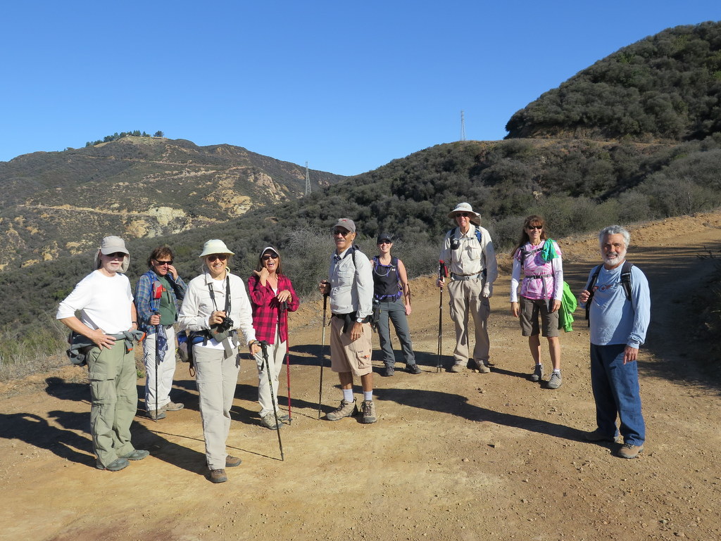
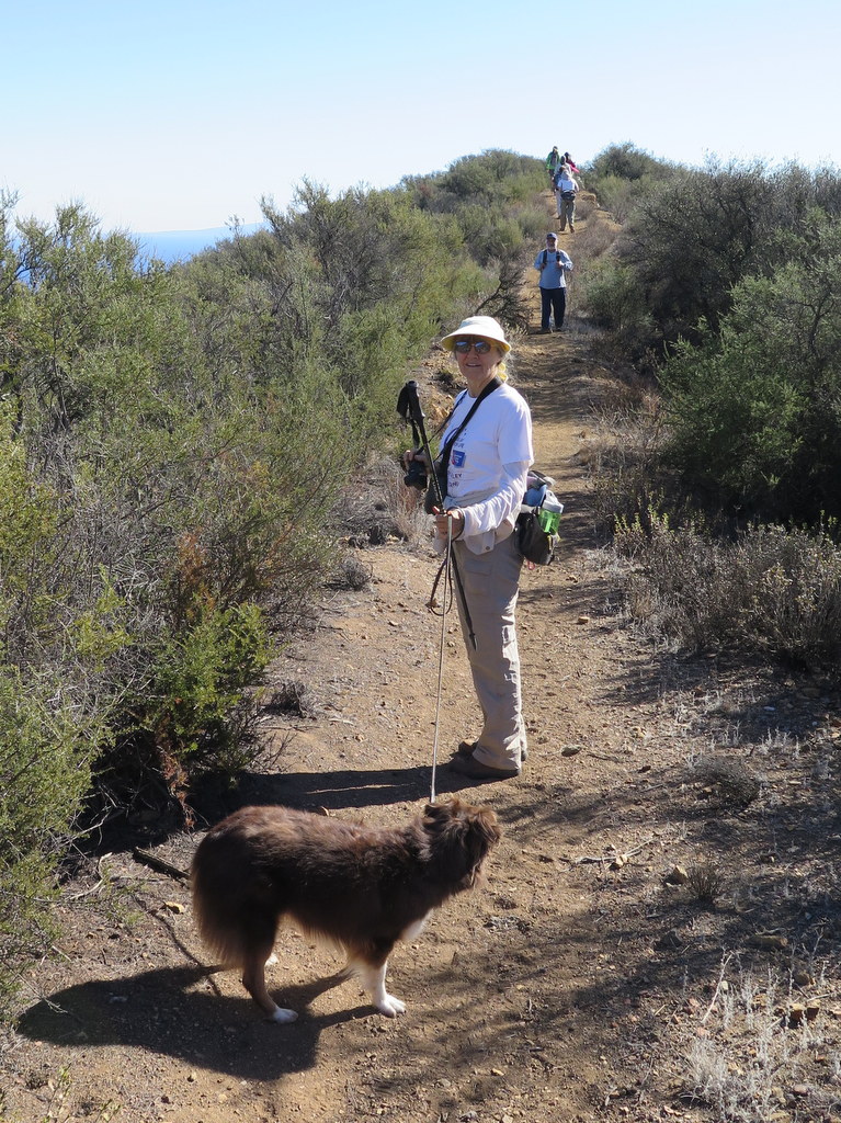
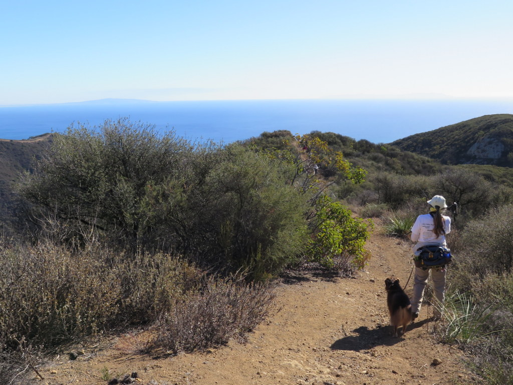
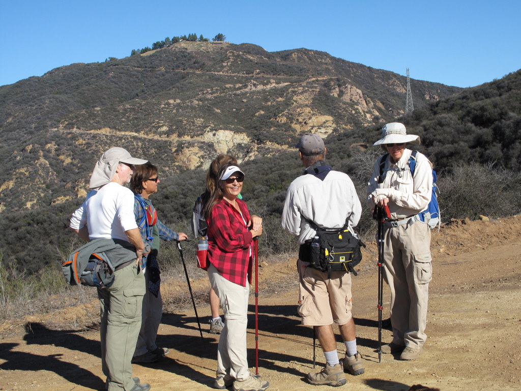
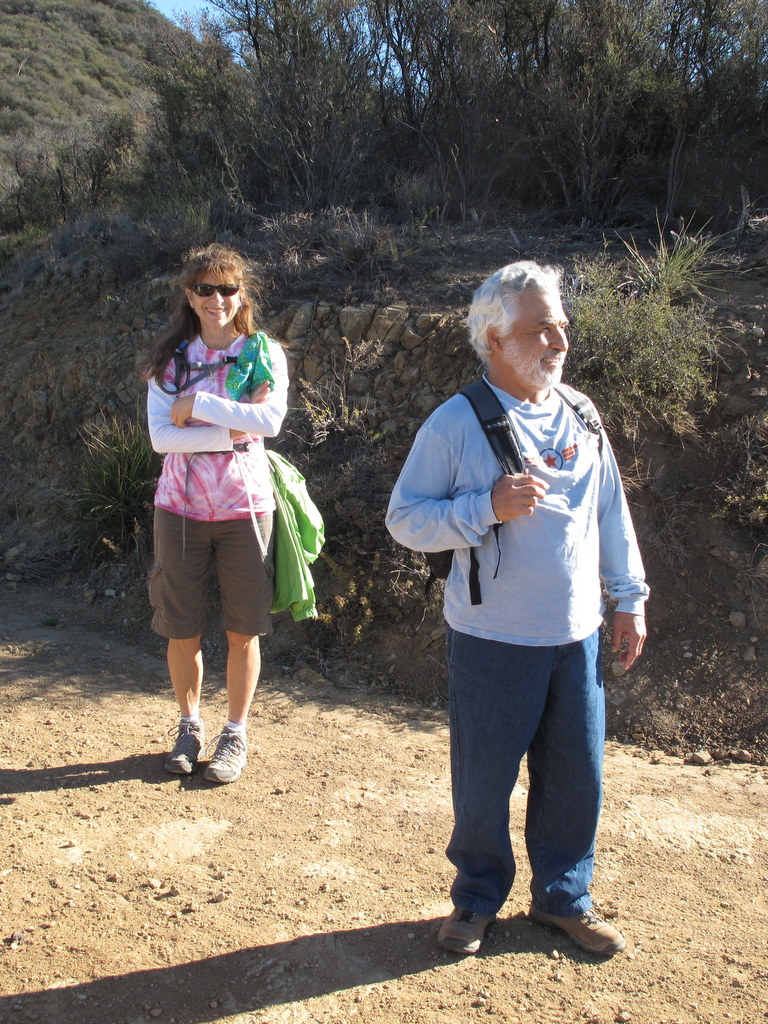
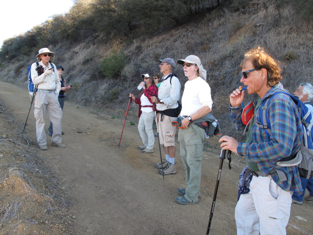
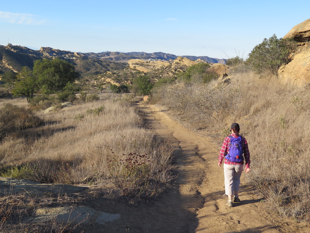
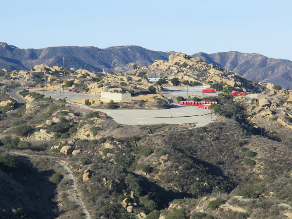
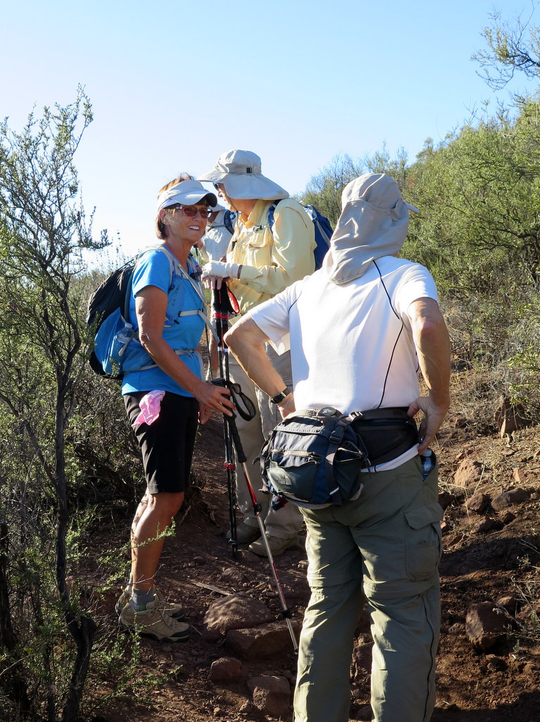
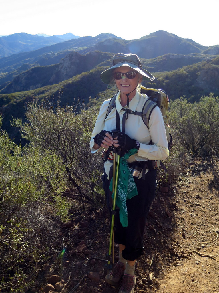
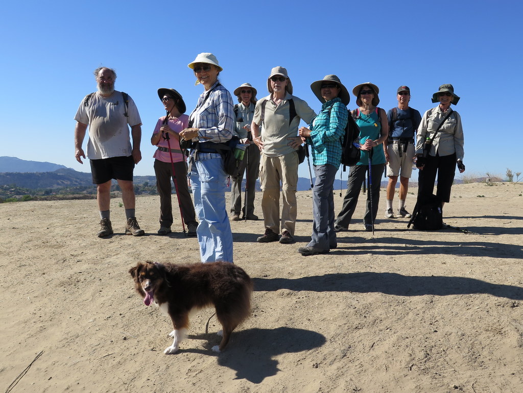
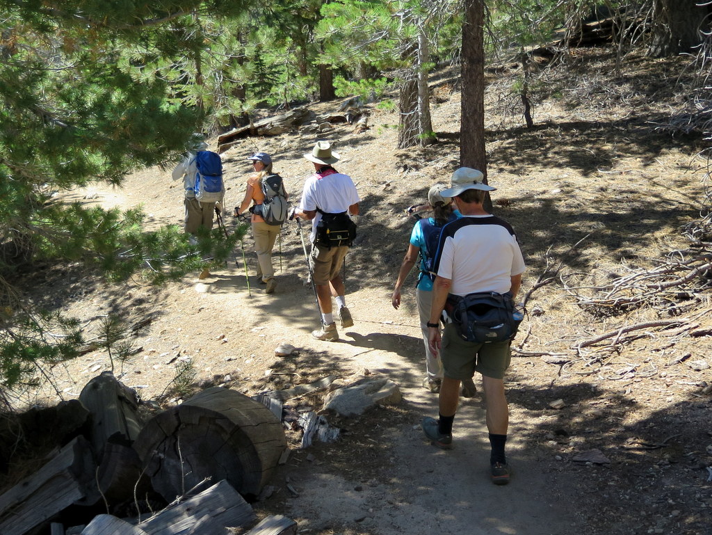
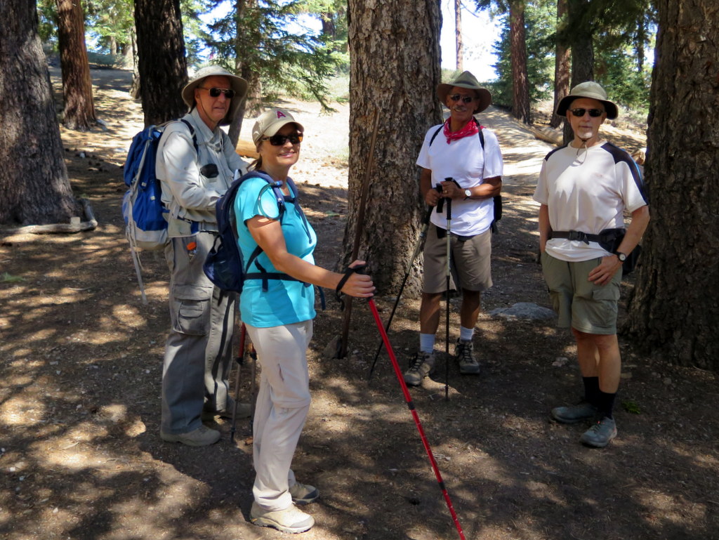
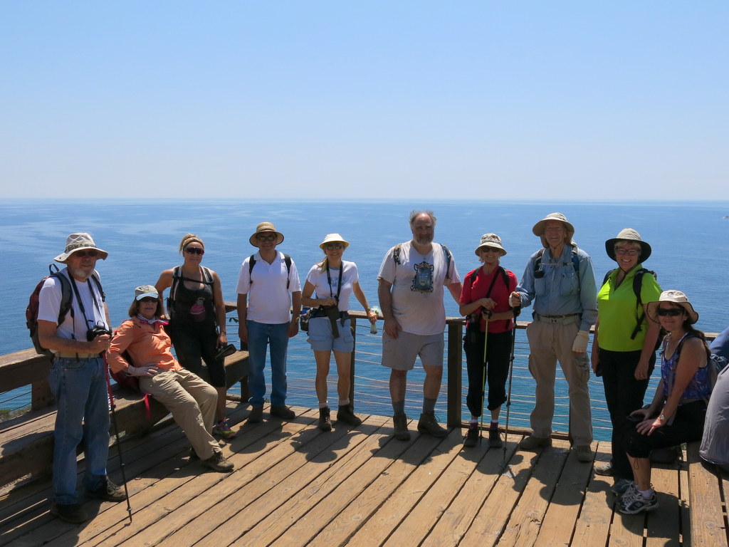
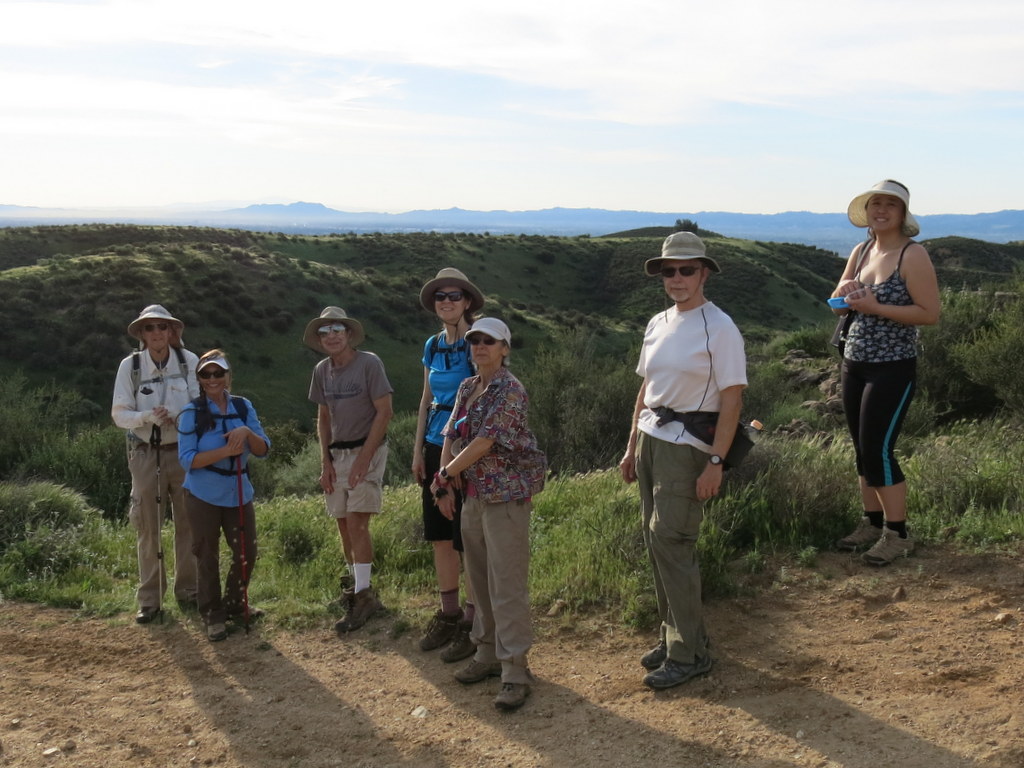
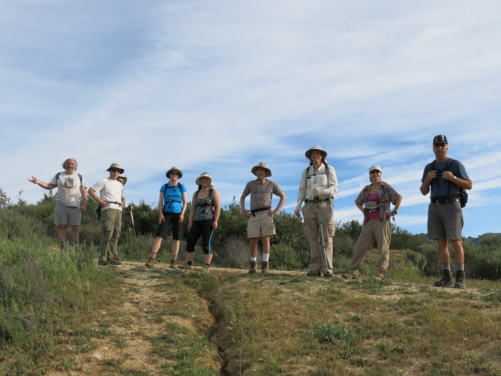
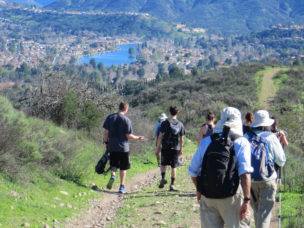
11 hikers carpooled to the trailhead in the Santa Monica Mountains at the north end of Busch Drive in Malibu near Point Dume on a chilly almost-winter morning. After a group photo was taken, our hike began steadily (but not steeply) uphill for 2.9 miles northward along the well-maintained Zuma Ridge Trail (dirt road). The air quality was good and the views – including Zuma Beach, Point Dume, the Pacific Ocean, and Santa Catalina, Santa Barbara, Anacapa, and Santa Cruz islands – steadily improved as we gained elevation. Next we descended eastward into Zuma Canyon and crossed the dry streambed at the bottom in a pleasant riparian environment. Continuing along the dirt road we began the demanding climb up the eastern wall of the canyon, stopping for a lunch/rest break part way up. Eventually we reached the Zuma Canyon Connector Trail (an actual trail) and followed it and the Kanan-Edison Road southward to a junction with the Ocean View Trail, enjoying the mountain and ocean views along the way. Finally, we followed the Ocean View Trail and the Ridge Canyon Access Trail back to our vehicles. We then headed home having completed a pleasant 11-mile hike with nearly 3,000′ of elevation gain/loss on a beautiful day for hiking.
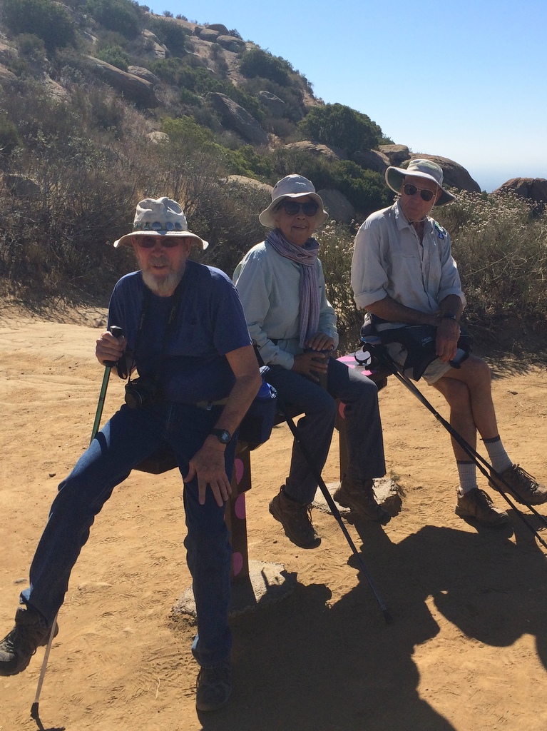
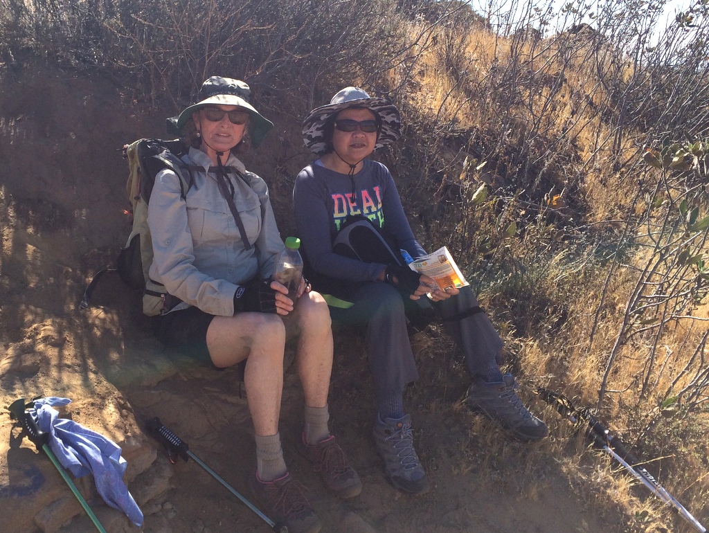
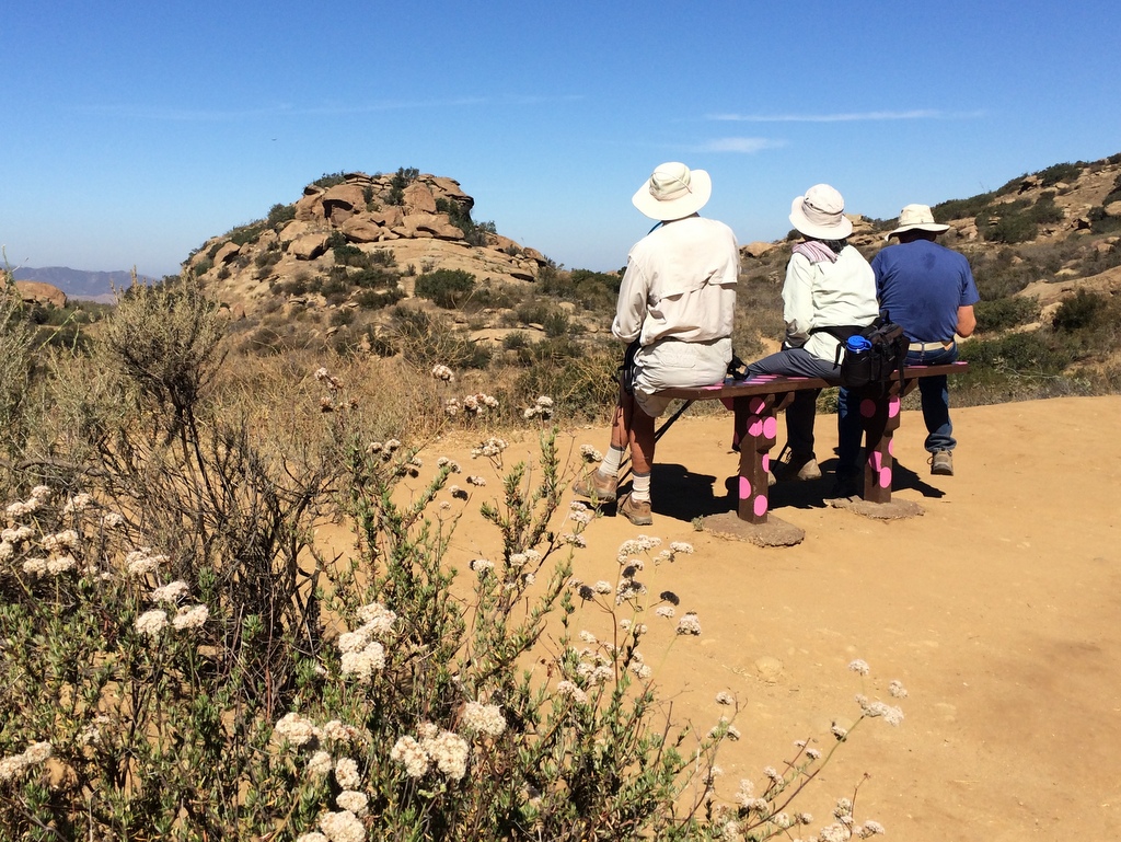
December 5th – Ray Miller Trail to La Jolla Valley, Mugu Peak and down the Chumash Trail
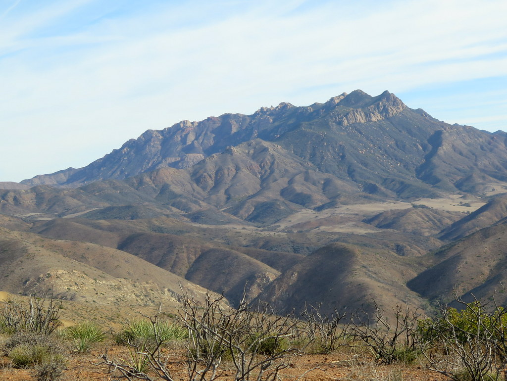
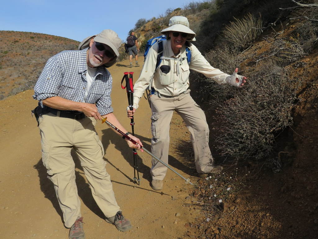
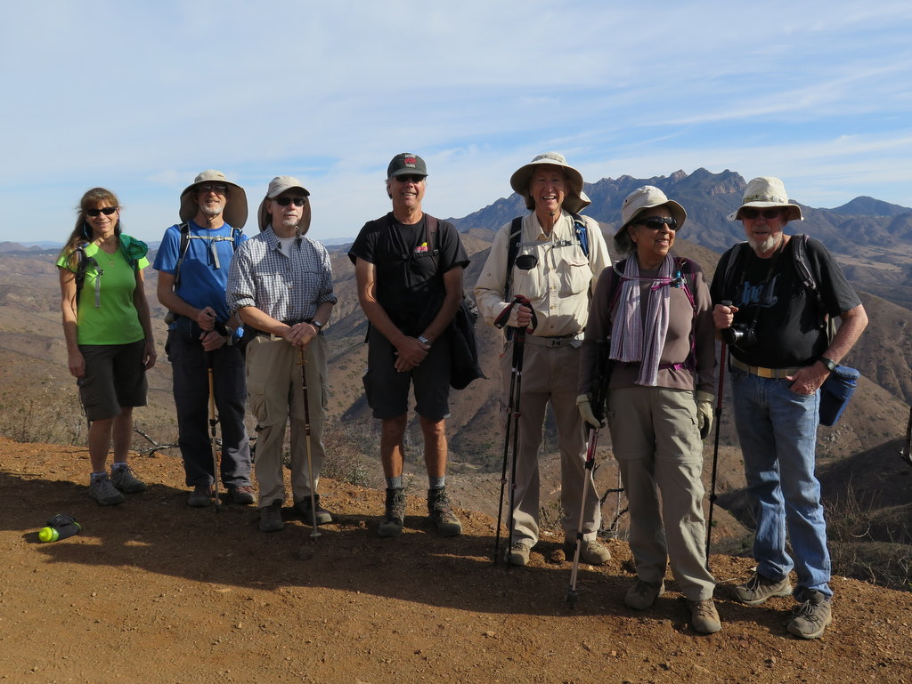

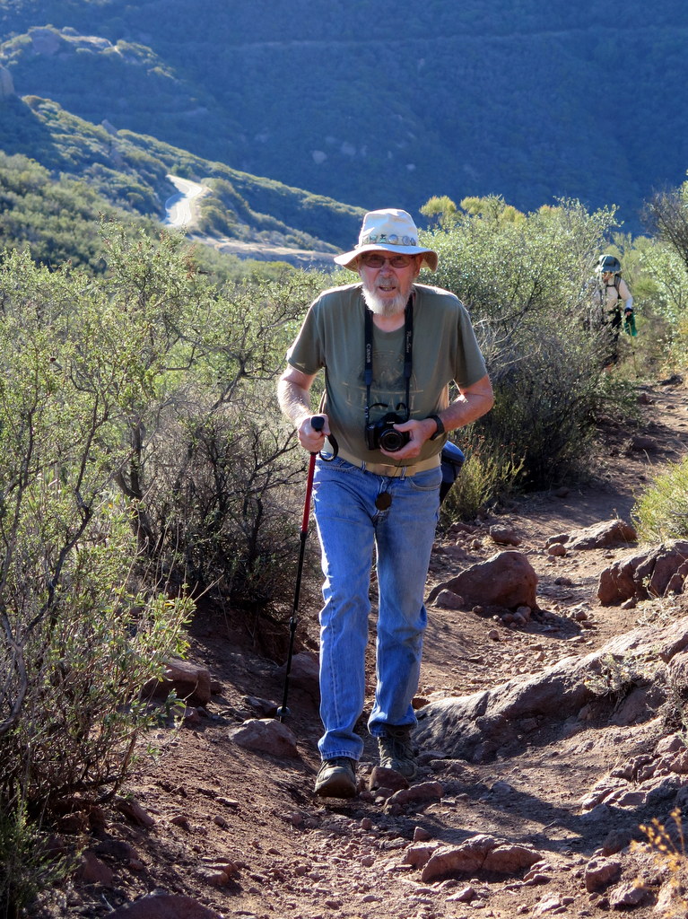
Seven hikers carpooled to the crowded Chumash Trail parking area along Pacific Coast Highway (Hwy 1) opposite the Seabee Rifle Range on a beautiful late-autumn morning. After dropping off one shuttle vehicle there, we headed on to the otherwise-empty parking lot in La Jolla Canyon. Our hike began along the Ray Miller Trail (one-end of the Santa Monica Mountains Backbone Trail) as it wound its way gently up the mountain, affording great views of the Pacific Ocean and Anacapa and Santa Cruz Islands in the Channel Islands National Park. Upon reaching the Overlook Trail (dirt road) we followed it northward to its junction with the La Jolla Valley Trail, enjoying sweeping views eastward of Serrano Valley and Boney Mountain. We descended into La Jolla Valley and the followed the La Jolla Canyon Trail southward (downstream) to its junction with the Mugu Peak Trail. We followed it uphill to a spur that took us to the mountain peak with its flagpole and American flag and panoramic views of ocean, mountains, islands and the Oxnard Plain. We descended steeply to the Chumash Trail, itself a busy steep trail, which we followed to our shuttle vehicle. After retrieving our other vehicles and then the remaining hikers, we headed home having completed a very pleasant 9.6-mile one-way hike with 2,050′ of elevation gain/loss on a great day for hiking.
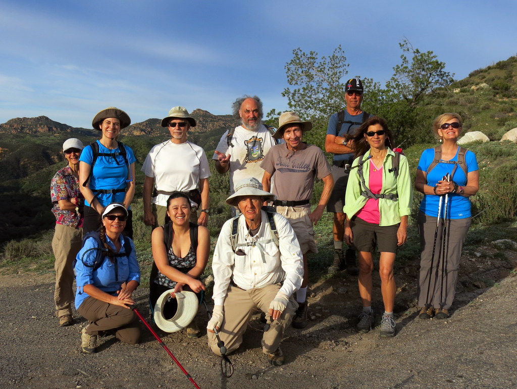
December 4th – Christmas Holiday Party Potluck


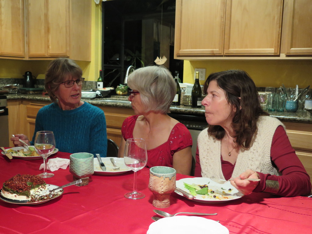


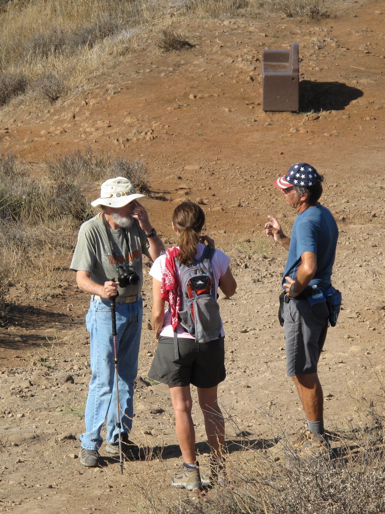
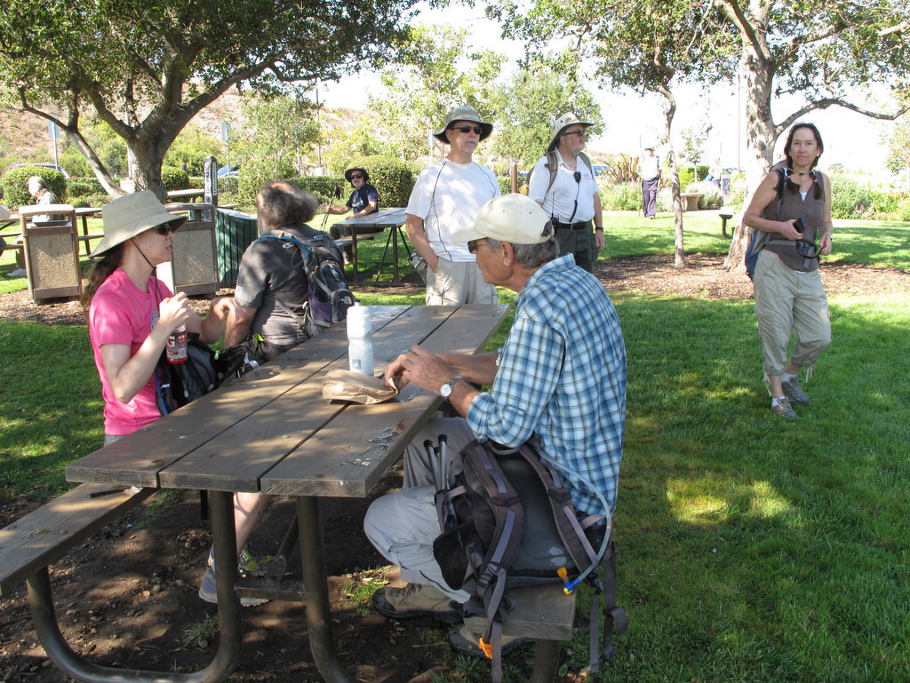
As the holiday season marked the passage of another eventful year, a couple of dozen Trail Blazers got together for an evening of camaraderie and dining. As in recent years Ursula Christie again volunteered to host us in her beautiful home which is decorated with an amazing array of unusual items, many of which she has acquired during her numerous trips abroad. Guests dressed in seasonal attire began arriving bringing with them a variety of interesting foods. Many of us marveled at how different everyone looked when not dressed in their hiking gear. Conversations bloomed as we caught up on events in the lives of friends whom we hadn’t seen for months and reminisced about shared experiences in the past. And then it was time for the main event, a potluck dinner! As usual there was a wide variety of dishes and more food than we could consume in a single meal, but we gave it our best try. After more conversation and laughter, it was time for dessert. Although all of the desserts were wonderful (and some of us tried each of them!), the crowning dessert was the one that Betty Cameron created; it was indescribably delicious. Eventually we extended holiday well wishes, promised to do it again next year, and made our way home, feeling blessed to have had yet another opportunity to spend time with good friends. Thanks again to Ursula who is a true Trail Blazers treasure.
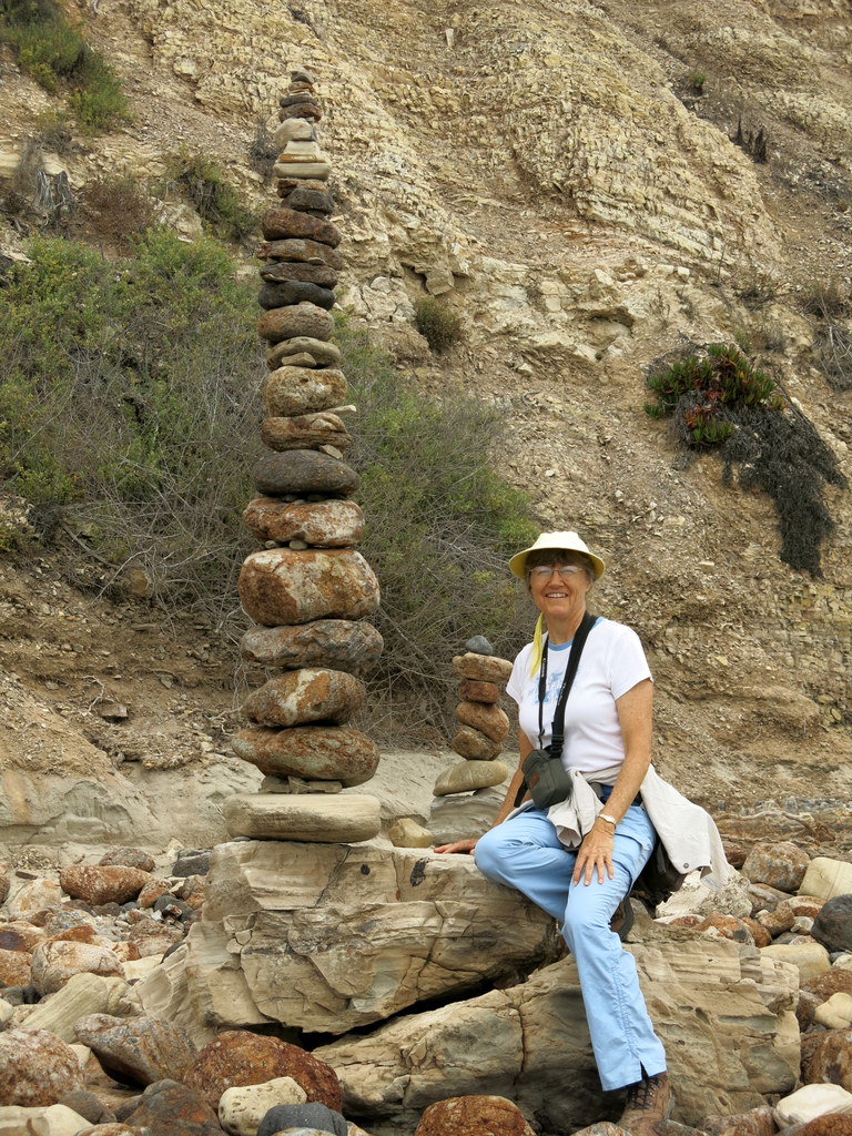
November 28th – Sage Ranch Park Loop
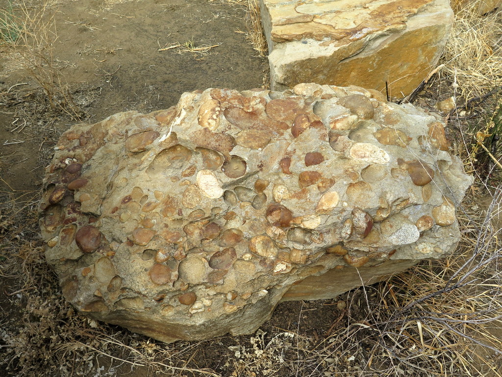
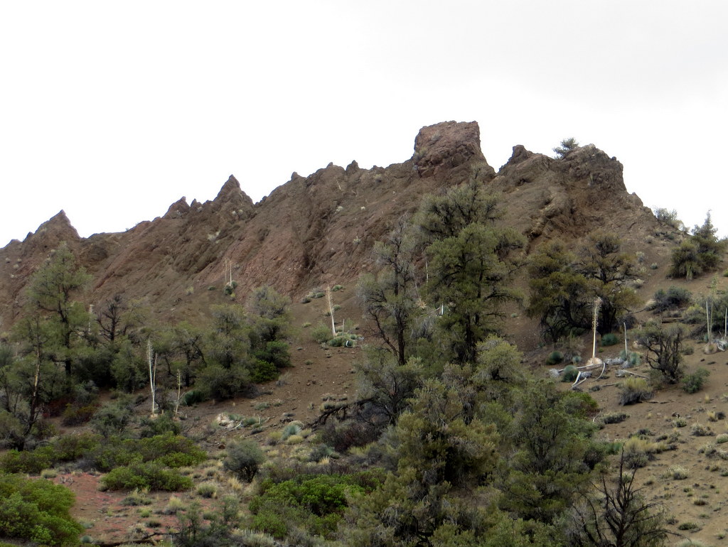
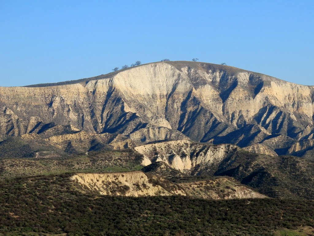
13 hikers arrived at the parking lot in Sage Ranch Park in the Simi Hills on a pleasant winter morning. The 625-acre park is located just north of the Santa Susana Field Laboratory (SSFL) (aka Rocketdyne/Boeing) at an elevation of 2,000′. It is chock-full of world-class sandstone rock formations and has lots of picnic tables shaded by large oak trees. Shortly after we began our hike, we were rewarded with views of Simi Valley and the mountains to the north. After hiking for a while we climbed up on Sandstone Ridge, a long, steep rock formation rising alongside the trail on the west side; it afforded us with excellent views of the once-bustling SSFL (many of the structures have been removed from the property as the cleanup effort continues). The effects of the continuing drought were evident on the parched flora in the area. All too soon, we completed our short, but invigorating, post-holiday stroll (3 miles with about 500′ of elevation gain).
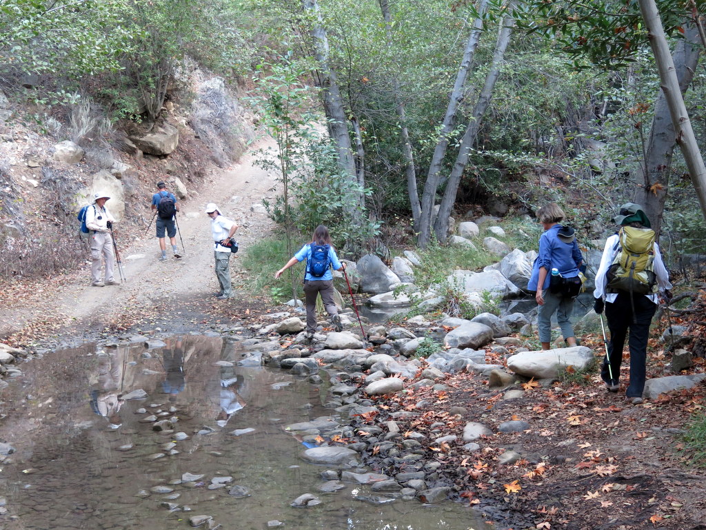
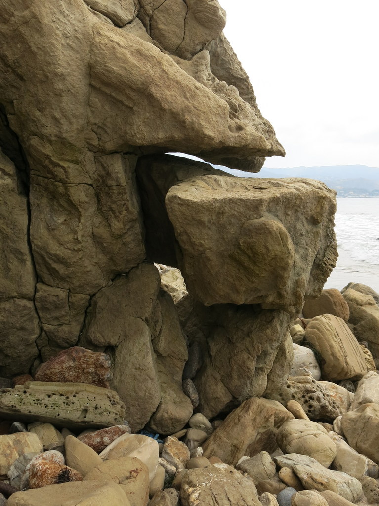
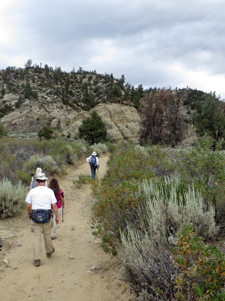
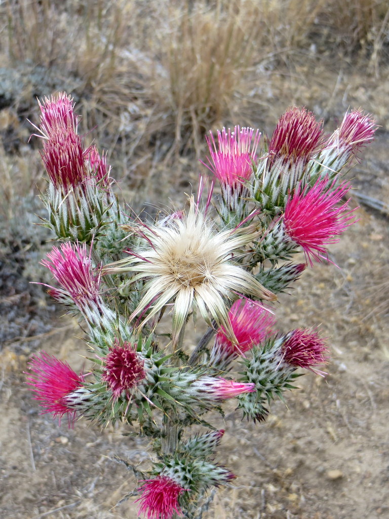
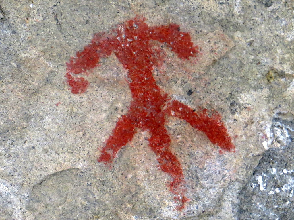
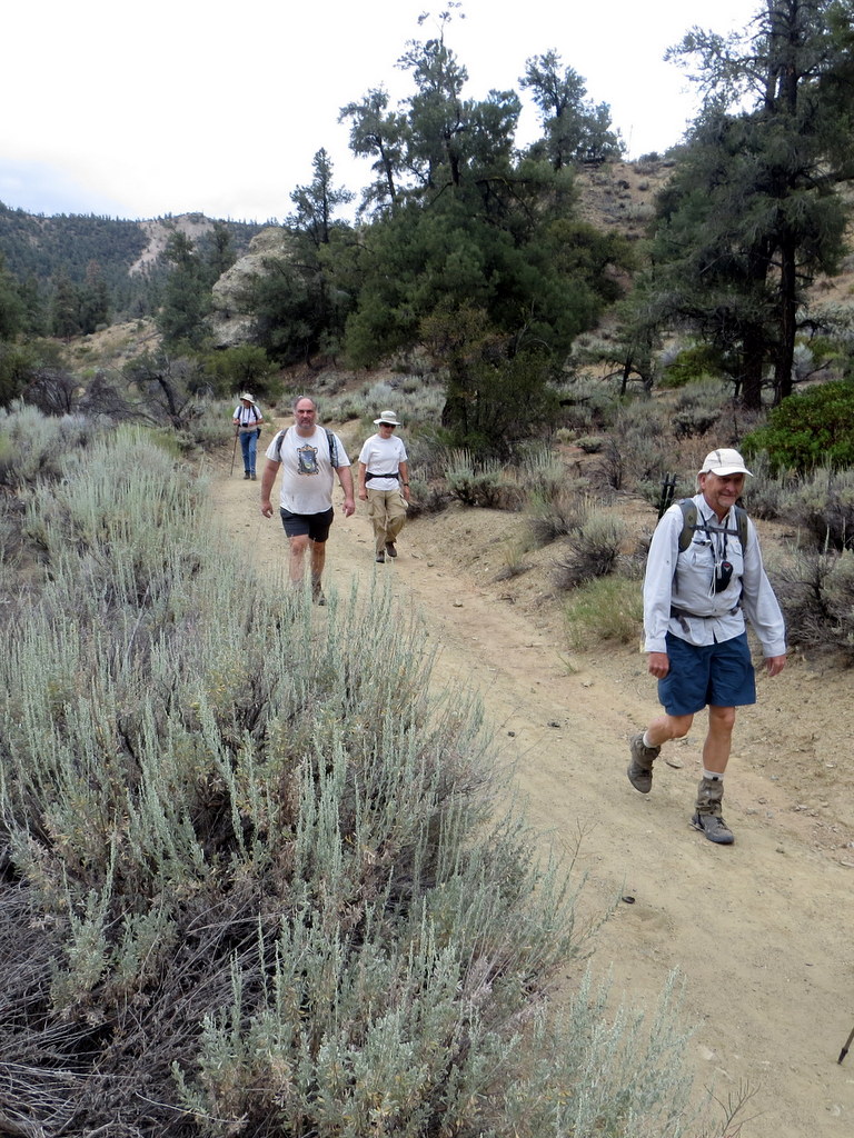
November 14th – Piedra Blanca Trail to Twin Forks Camp
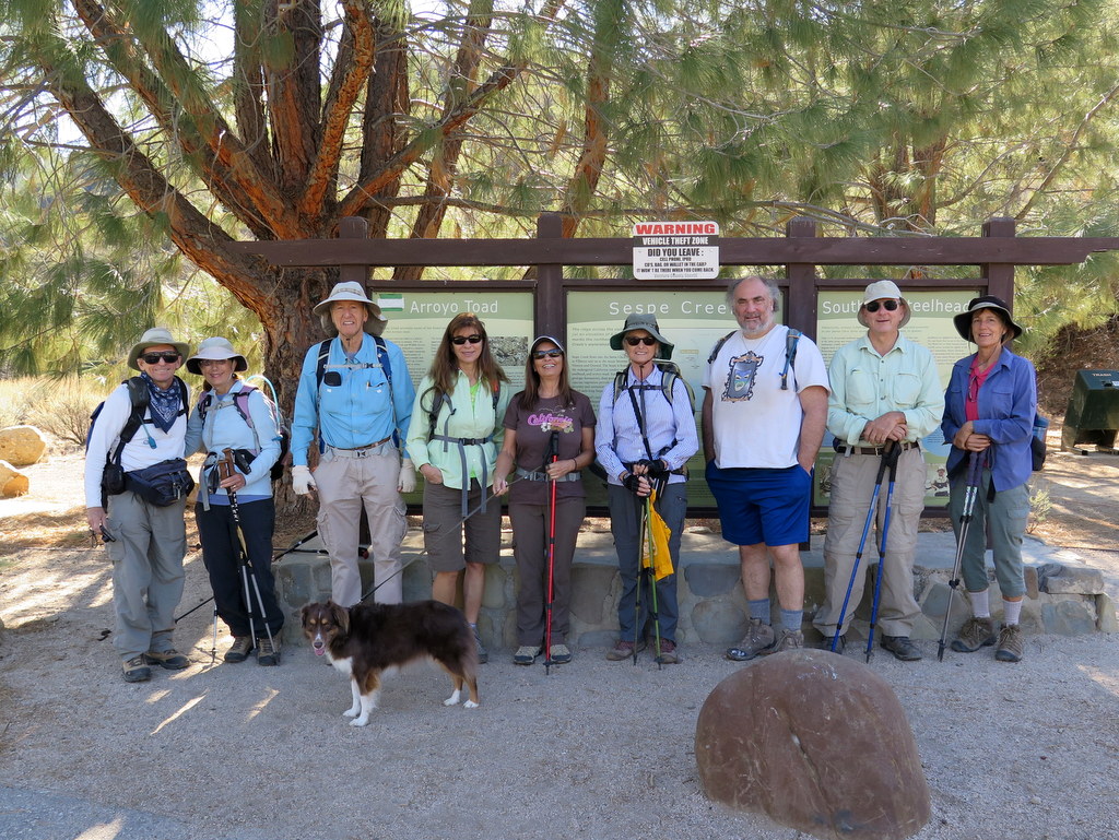
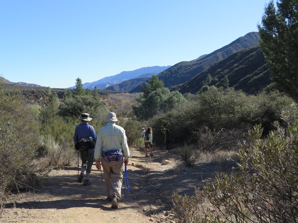
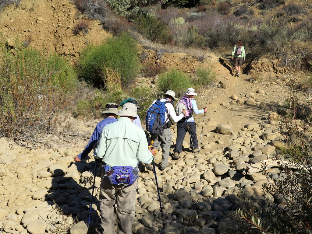
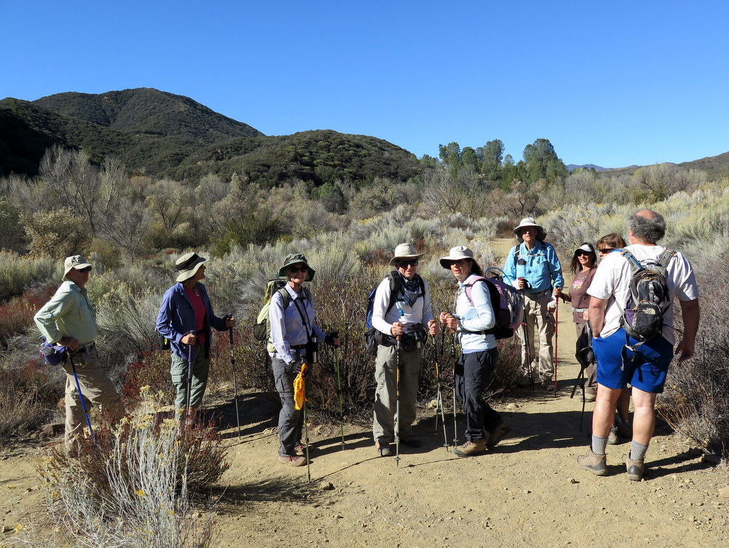
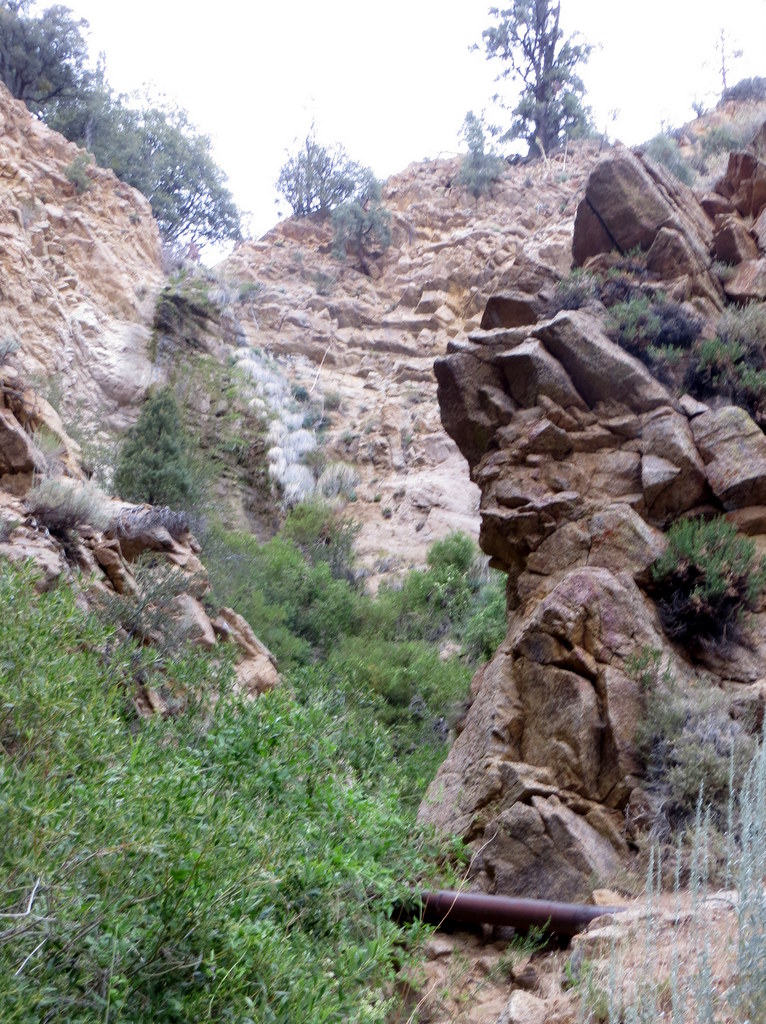
10 hikers carpooled to the Piedra Blanca Trail [aka Gene Marshall National Recreation Trail] (22W03) trailhead at the east end of Rose Valley Road (6N31 off Hwy 33) in the Los Padres National Forest north of Ojai, CA. It was a beautiful morning as we began the hike by descending to and crossing bone-dry Sespe Creek/River, the main watercourse in the southern Los Padres National Forest; it empties into the Santa Clara River in Fillmore. While admiring the brilliant fall colors (mostly yellow) along the creek, we followed the trail as it entered the Sespe Wilderness and climbed the chaparral-covered slope to the magnificent Piedra Blanca (white rock) Formations — huge white rounded sandstone outcroppings sculpted by wind and water. We then descended to Piedra Blanca Creek and followed it upstream to the large shady Piedra Blanca Camp where we viewed pictographs created by Chumash Indians on some of the boulders. We continued on to Twin Forks Camp (the turnaround point) where large conifers provided shade along the nearby creek which provided musical sounds of flowing water at times. After a leisurely lunch break we returned to the trailhead for the drive home, having completed a pleasant 7-mile hike with about 1,200′ of elevation gain/loss.
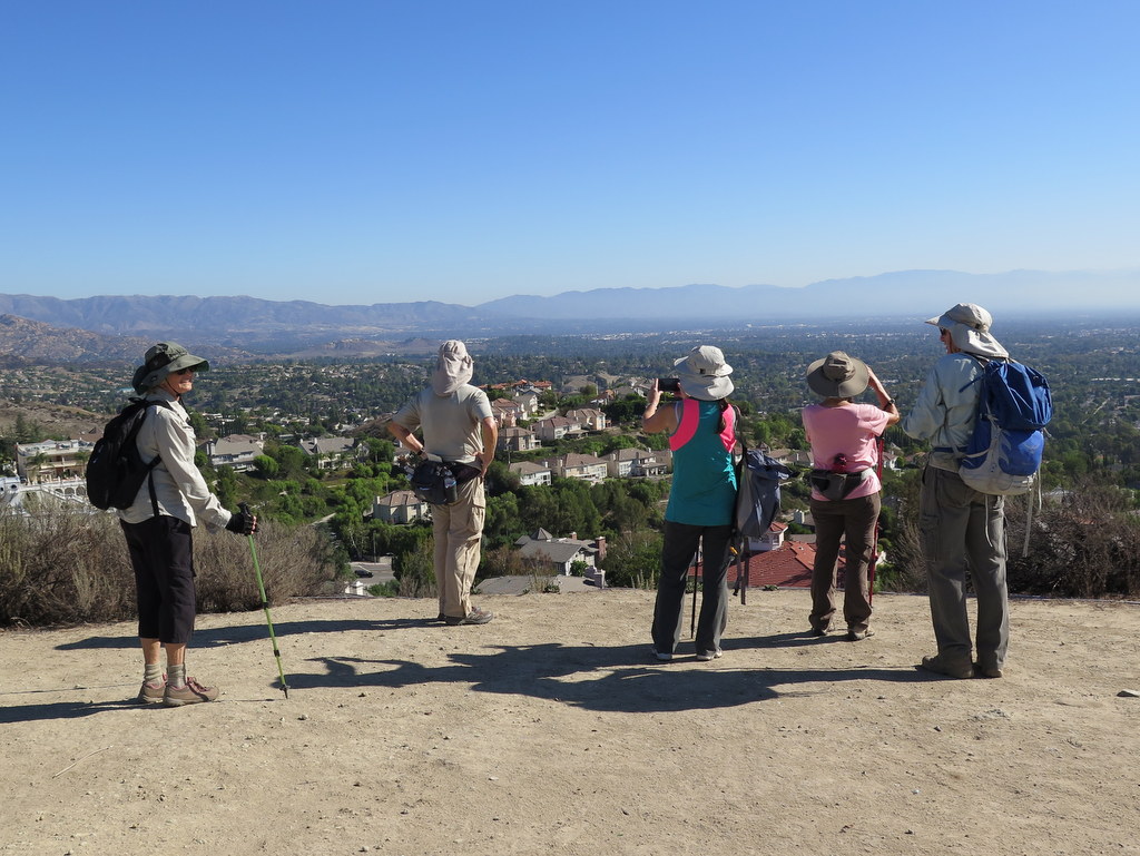
November 7th – Happy Camp Canyon Middle Range Fire Road Loop
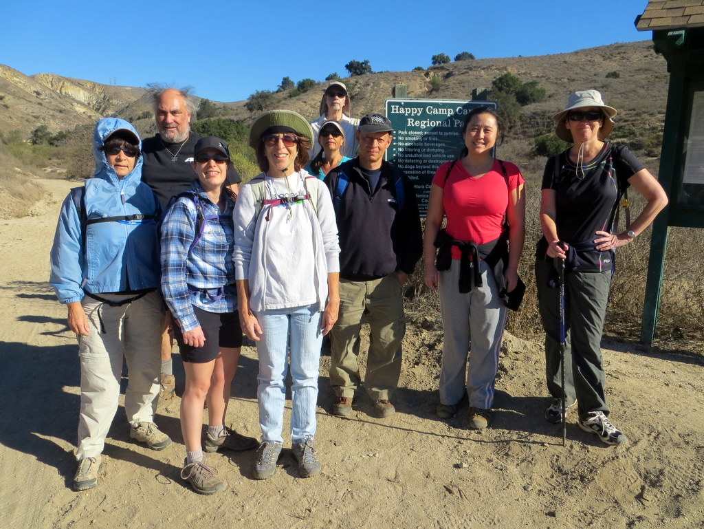
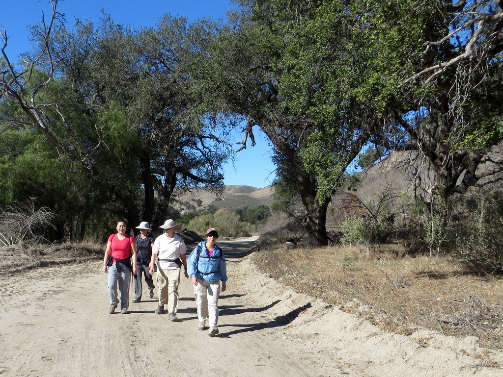
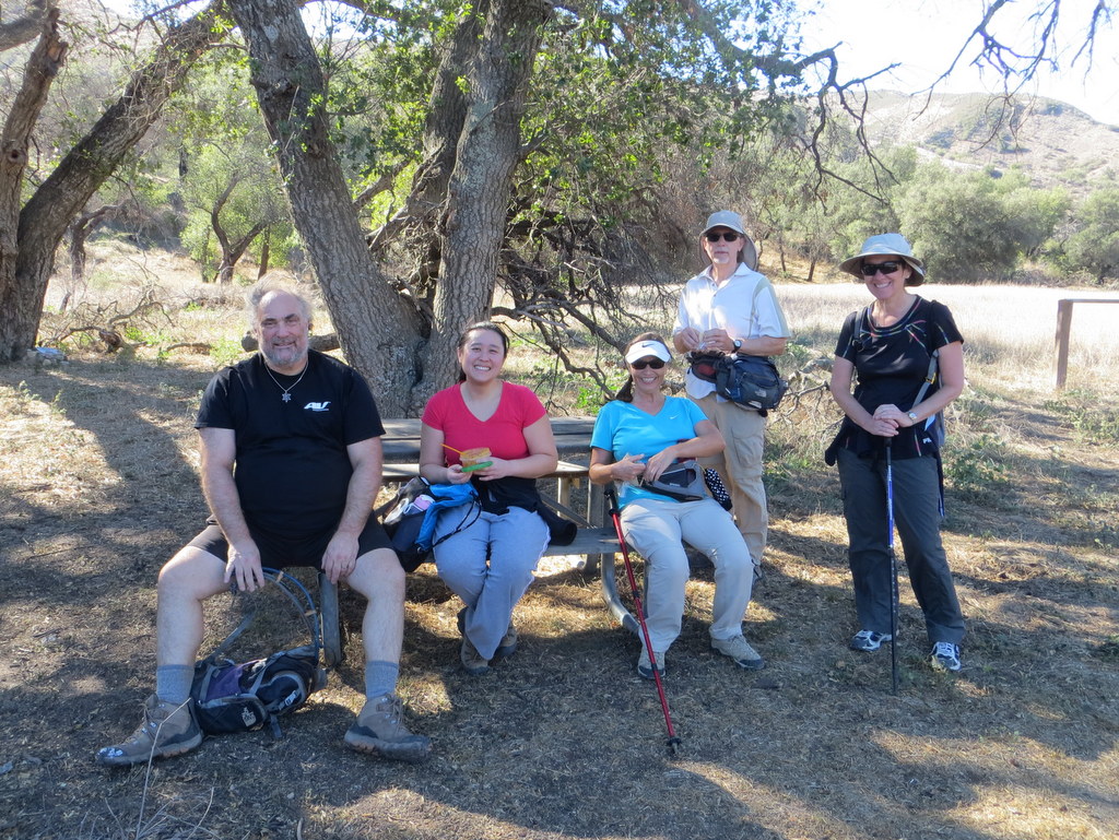
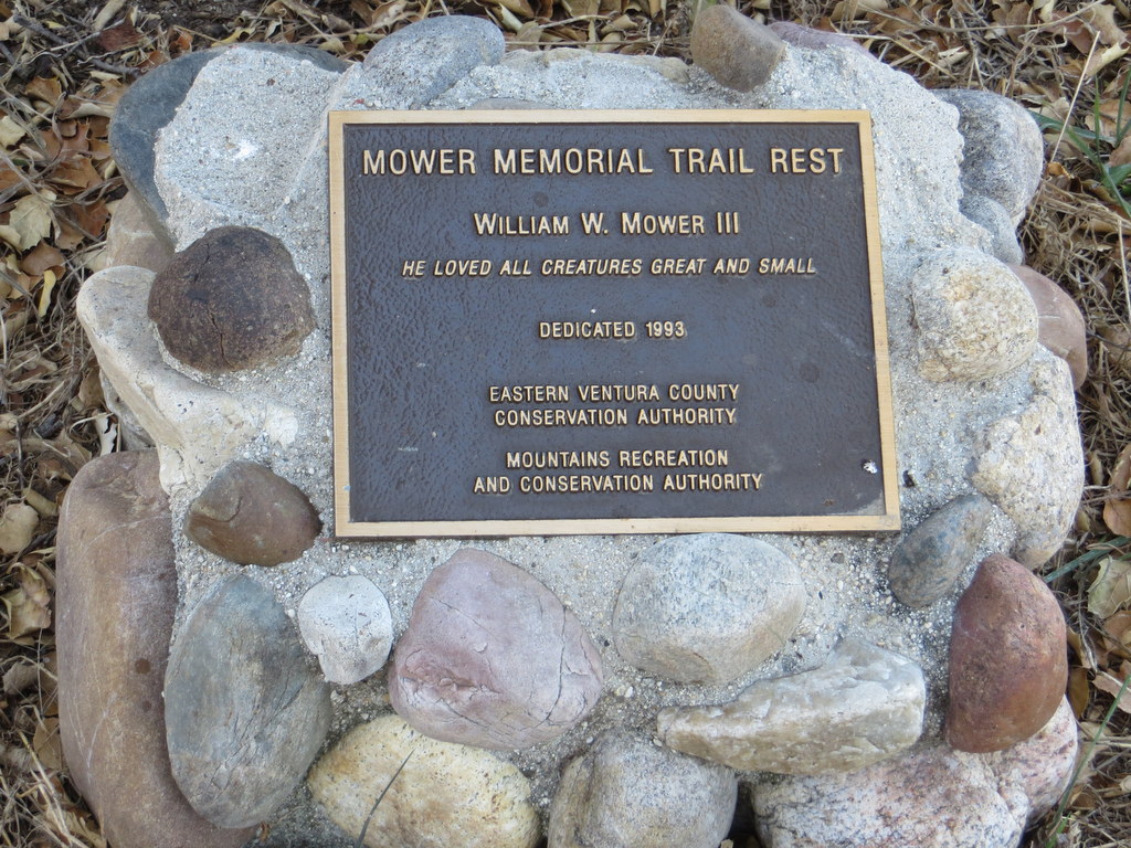
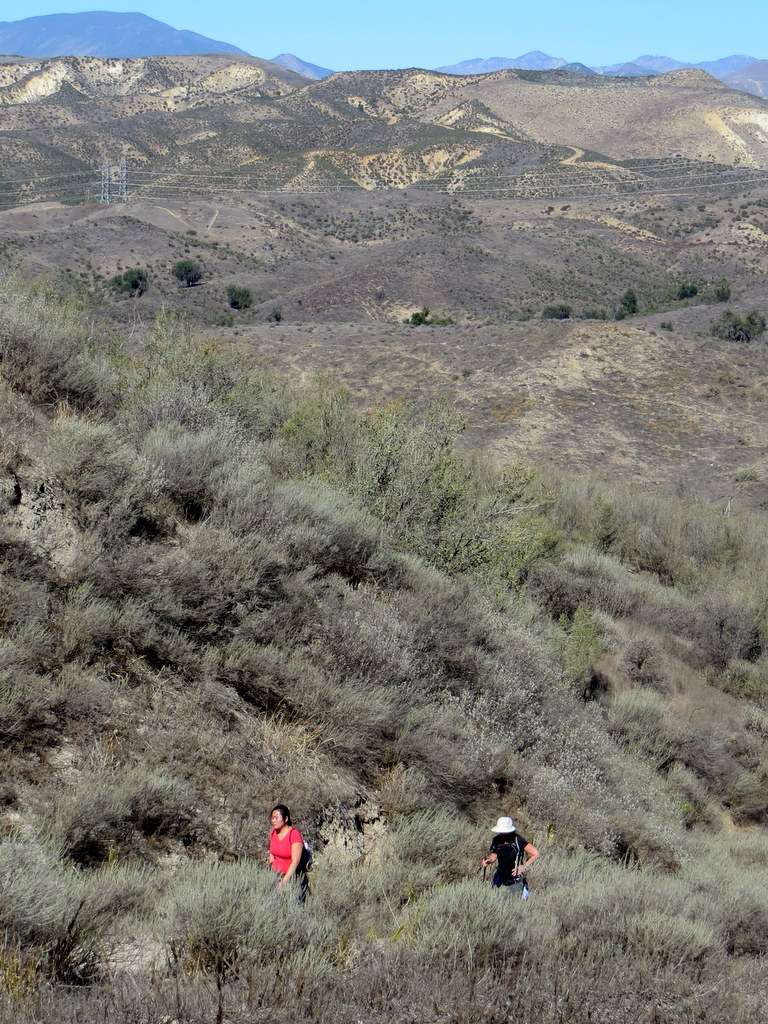
12 hikers met on a windy Saturday morning in the dirt parking lot at the east end of Broadway Road north of Moorpark. The wind was particularly ferocious as we hurriedly hiked one mile to the entrance to Happy Camp Canyon, “a lush riparian oak woodland with an intermittent stream.” Mostly protected from the wind, we followed an old ranch road eastward as it rose gradually in the canyon bottom between Oak Ridge and Big Mountain. At 4.5 miles we took a break at the Mower Memorial Trail Rest in an oak grove with picnic tables and hitching rails. We then climbed steeply for 0.5 mile up Big Mountain to the Middle Range Fire Road via an abandoned, partially eroded dirt road. Once we reached the ridge we were treated to unusually clear distant views to the south and west including the Santa Monica Mountains and two of the Channel Islands (Anacapa and Santa Cruz). We were subjected to intermittent gusts of wind during our return trip along the ridge. We eventually reached the parking lot, having completed a 10.9-mile hike with 1,200′ of elevation gain/loss.
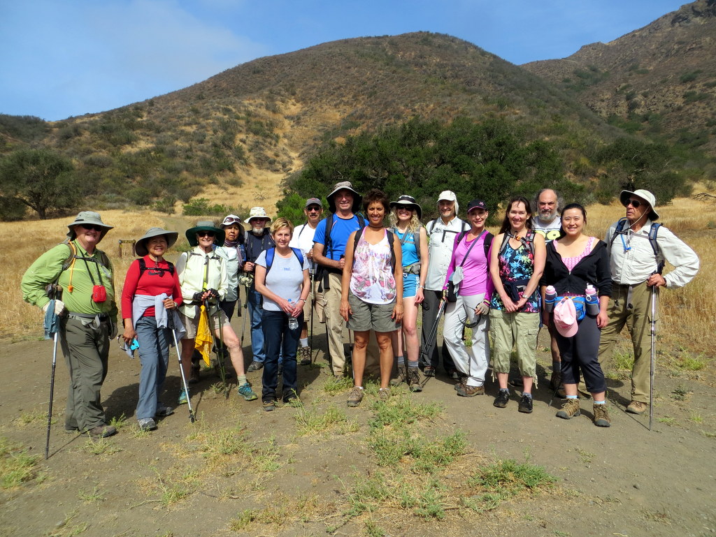
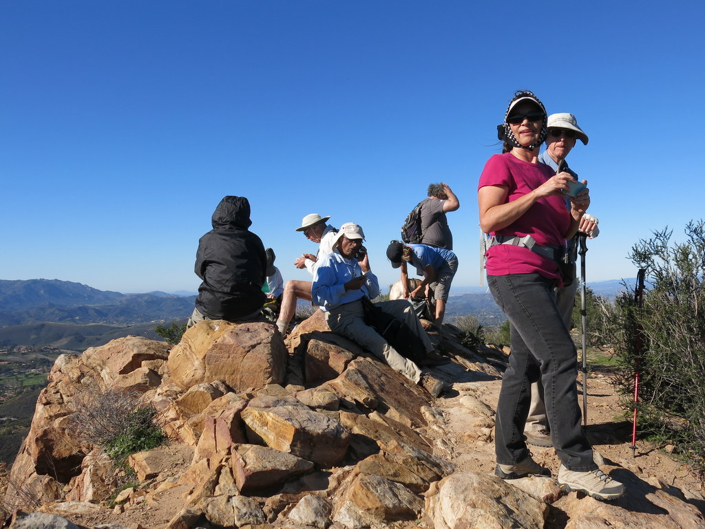
October 31st – Sandstone Peak via the Mishe Mokwa Trail
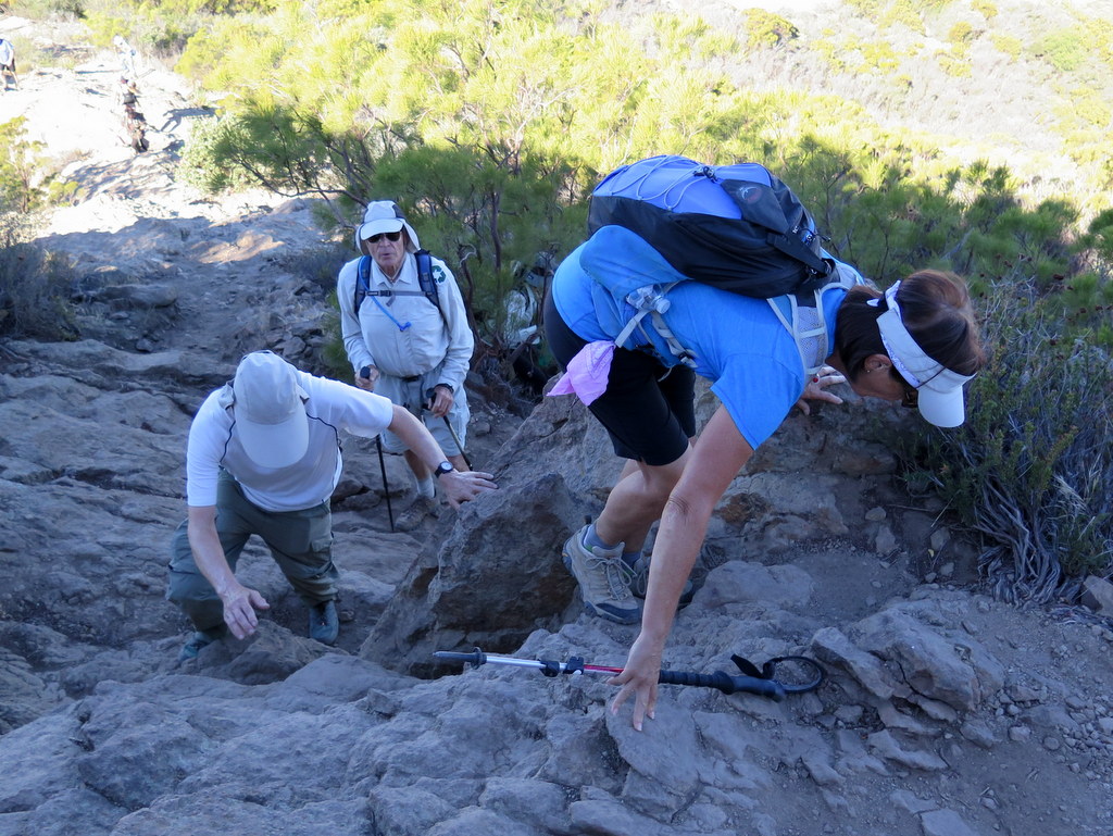
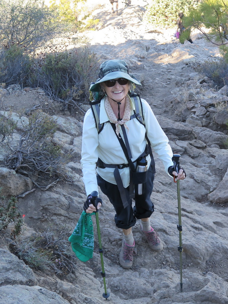
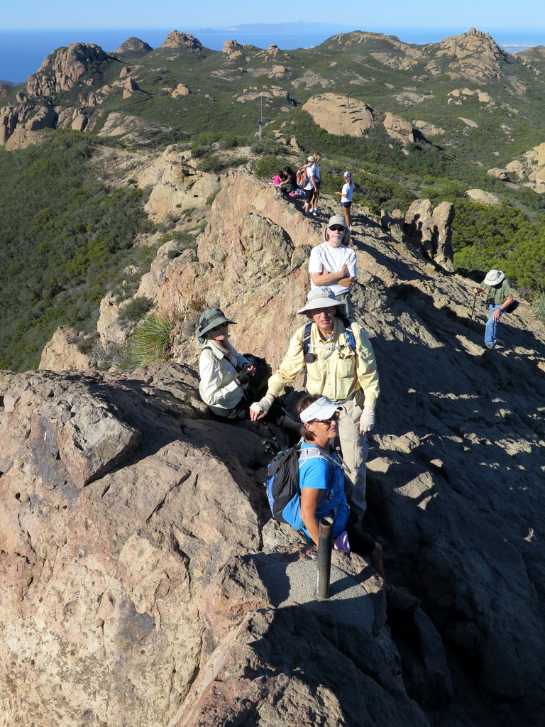
10 hikers traveled to Triunfo Pass (2,100′) in the Santa Monica Mountains (SMM) on a warm fall morning. The clockwise loop hike began on the Mishe Mokwa Trail but we soon took a connector trail over to the Sandstone Peak Trail, a portion of the SMM Backbone Trail (BBT). The trail climbed steadily upward to a junction with a spur trail leading to Sandstone Peak, gaining 850′ in the process; after gaining an additional 150′ on the spur trail we reached the summit of Sandstone Peak (3,111′) aka Mt. Allen, the highest peak in the Santa Monica Mountains. The peak is just a hunk of grayish-white rock, but it provides a stunning 360-degree view (depending on the air quality) of the ocean, the surrounding mountains, and the Oxnard Plain. Visibility was fairly good on this day and an ocean breeze mitigated the rising air temperature; we could see six (6) of the channel islands: Anacapa, Santa Cruz, Santa Catalina, Santa Barbara, San Nicholas, and San Clemente. After enjoying the view and returning to the BBT we continued on to its junction with the western end of the Mishe Mokwa Trail which we followed as it descended to the shady Split Rock picnic area in Carlisle Canyon. After taking a leisurely break, we followed the Mishe Mokwa Trail back to the parking lot, enjoying excellent views of the reddish-colored Echo Cliffs (a long stretch of sheer vertical sandstone rock faces) against the green side of Boney Mountain, and Balanced Rock, a huge house-sized boulder precariously balancing atop a smaller boulder. We headed home having completed a pleasant 6.6-mile hike with ~1,600′ of elevation gain/loss.
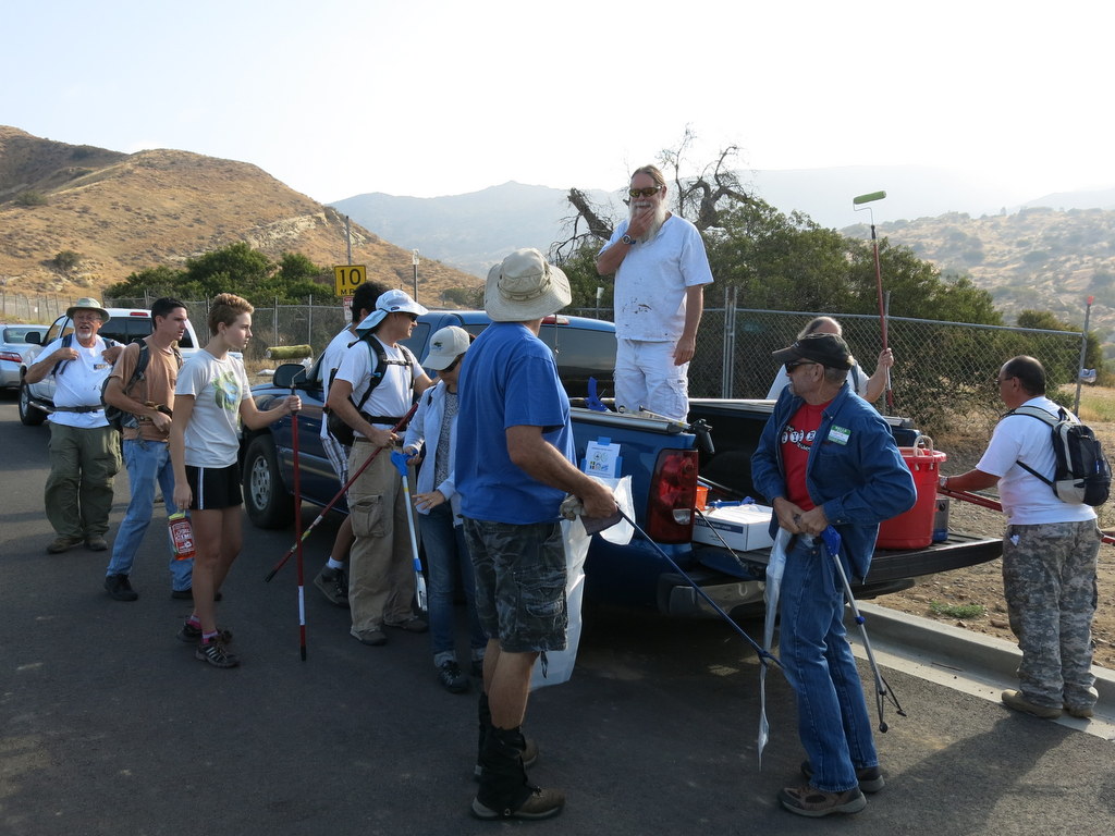
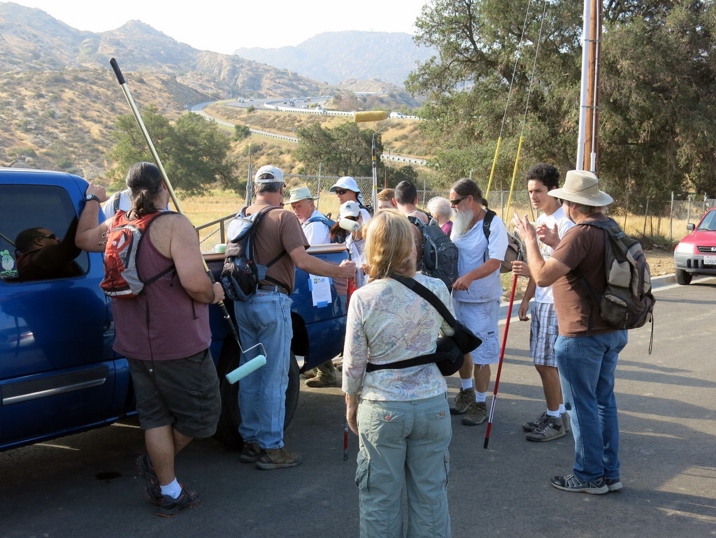
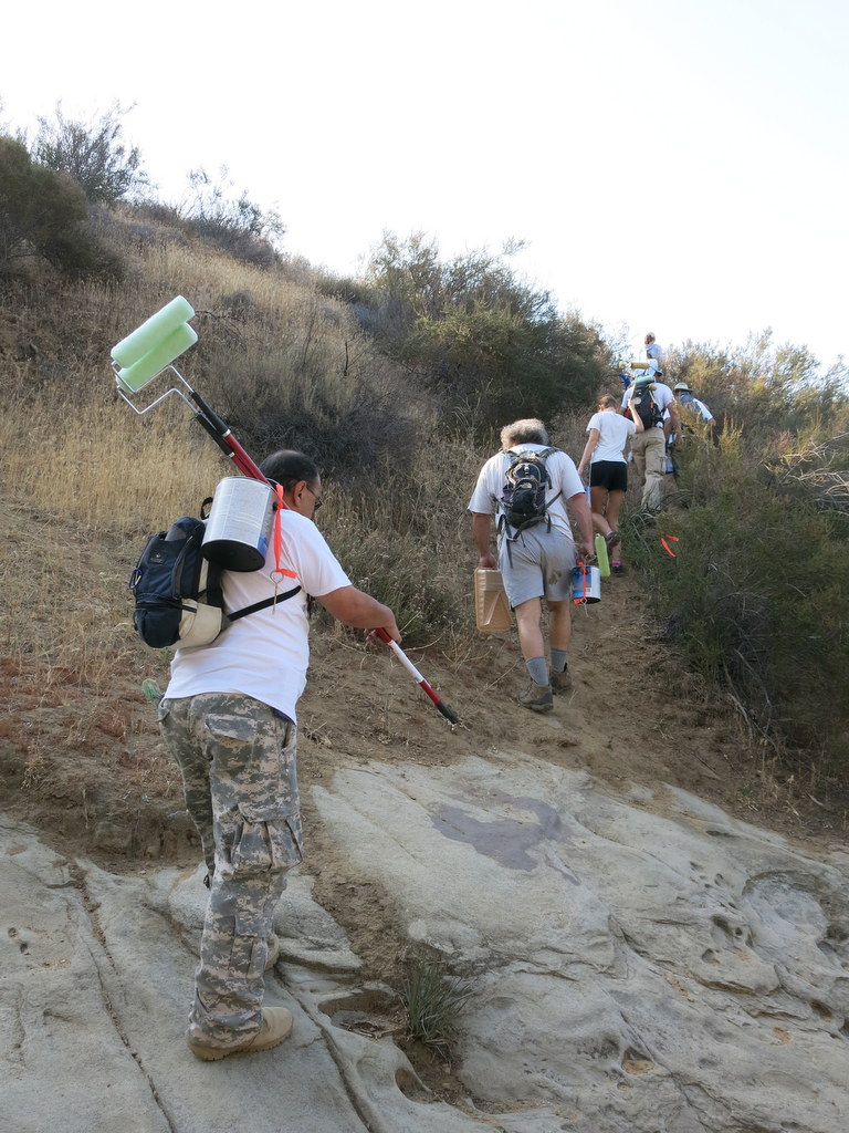
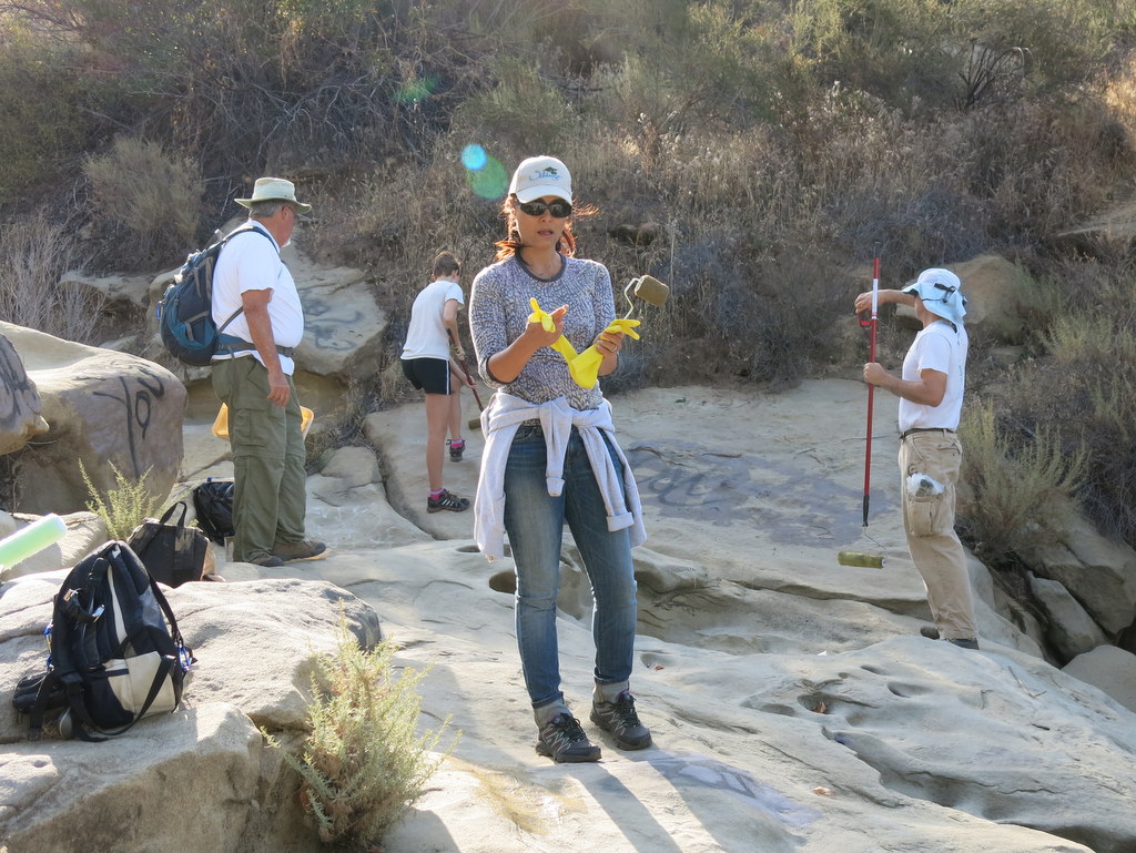
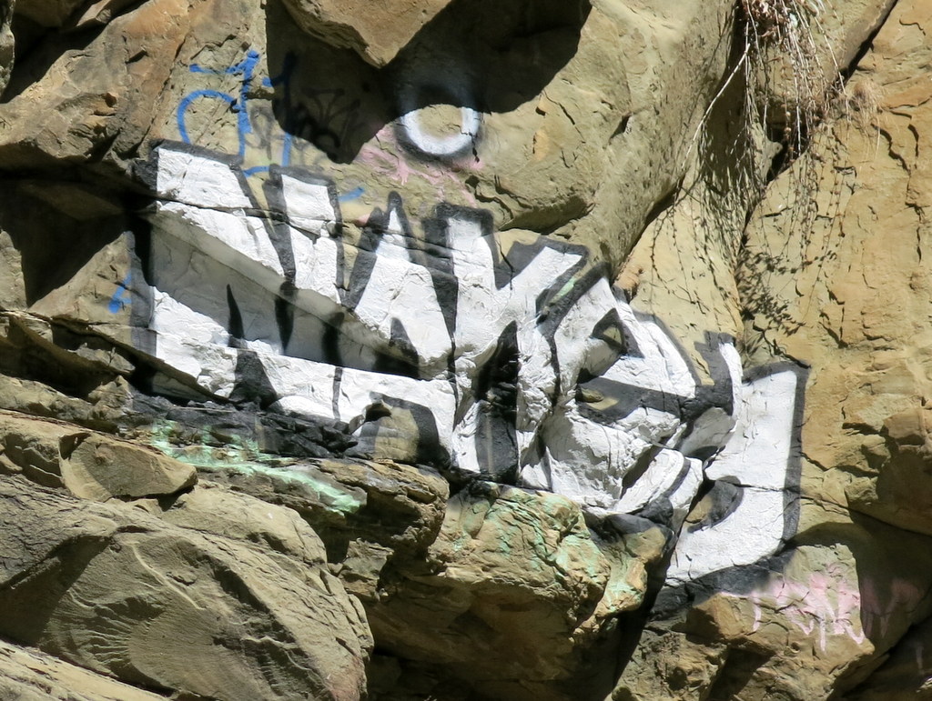
October 24th – Work Party – Wildlife Corridor Corriganville Park

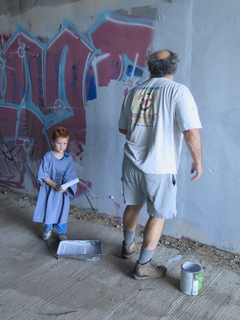
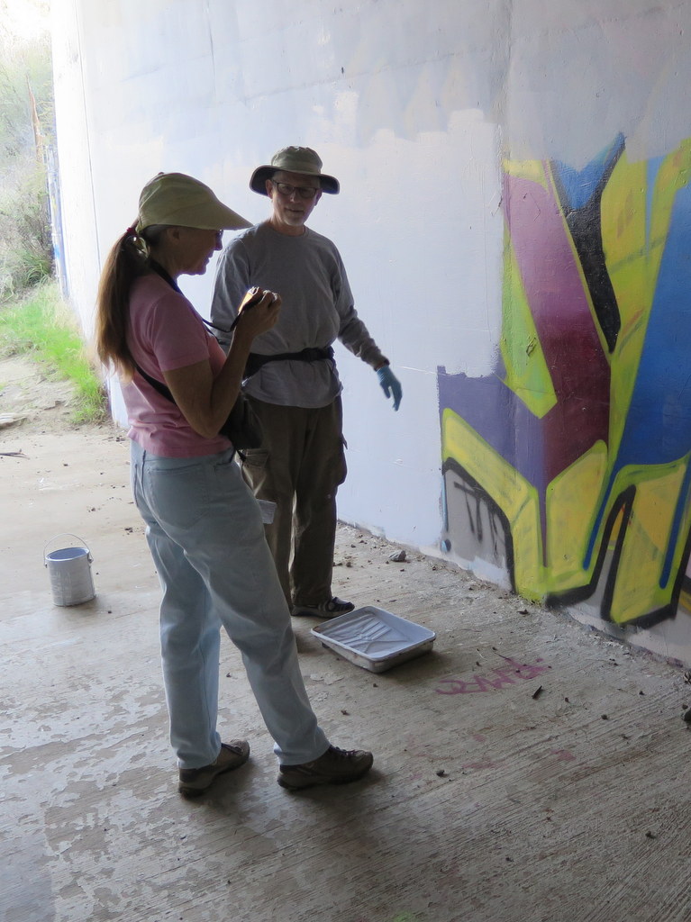
This was the seventh time, the Trail Blazers teamed up with the local Geocaching group, to clean up the Wildlife Corridor above Corriganville Park. 18 of us removed six bags of garbage and painted over the graffiti at the Corridor. Two more volunteers stayed back at the Camp Rotary picnic tables to take care of our snacks and drinks. As in past years, again we finished in record time. We were done well before the heat of the day. The massive Corridor cement maintained the coolness well from the previous night. It was a very clear day, so we enjoyed fine views of Simi Valley from the far eastern side. Many thanks to the RSRPD, for providing all we needed. We had a lot of fun and enjoyed some good conversation. Let’s do it all again next year!
October 17th – Sisar Canyon to White Ledge
7 hikers carpooled to the Sisar Canyon trailhead on Sisar Road just north of the Summit Community on Hwy 150 between Santa Paula and Ojai in the Los Padres National Forest on a cool autumn morning. The hike began on a shaded dirt fire road (4N15) which ascended to the north along the nearly dry creek that provided an occasional pleasant accompaniment. Eventually the road turned southwestward and emerged into the sunlight as it headed ever-upward [toward its eventual end at the Nordhoff Ridge Road (5N08)]. We were treated to increasingly panoramic views of the surrounding mountains including the Topa Topa Ridge to the north and Sulphur Mountain and the Ojai Valley to the south. After hiking about 3.5 miles, the trail (21W08 aka Red Reef Trail) leading to White Ledge Camp diverged from the fire road. We followed it a little over one mile to the trail camp which is situated beside a pleasant creek among towering conifers. After a welcome and refreshing respite at the trail camp, we retraced our steps downhill back to our vehicles and returned home, having completed a 9-mile hike with a total elevation gain/loss of about 2,000′.
October 10th – Mt. Waterman and the Burkhart Trail to Cooper Falls
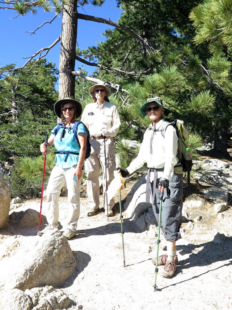
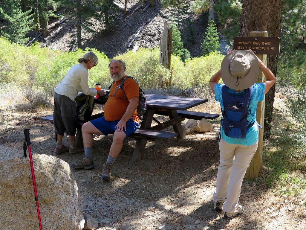
On a day when the temperature in Simi Valley was forecast to reach around 100 degrees Fahrenheit, five hikers carpooled past Cloudburst Summit to the parking lot adjacent to the Buckhorn Day Use Area at mile marker 58.02 along the Angeles Crest Highway (ACH) in the San Gabriel Mountains [Angeles National Forest] in an effort to “beat the heat.” The trailhead temperature was around 70 degrees as we crossed ACH and began hiking. The trail entered a cool shady pine-scented forest as it climbed steadily, but not steeply, up Mt. Waterman. After a little over two miles of very pleasant hiking (including cool breezes) with stunning views of mountains and canyons, we turned around and returned to our vehicle for the second part of our outing. We drove to the nearby entrance road leading down to Buckhorn Campground and followed it as it wound through the campground to the special parking lot for hikers. The temperature was still pleasant as we began our descent along the Burkhart Trail. The scenery was somewhat different from the Mt. Waterman hike, including granite reminiscent of the Sierra Nevada, beautiful towering incense cedar trees, and flowing water in the nearby stream. Upon reaching the steep “use” trail requiring the use of a rope to descend to the pool of water immediately below the Cooper Canyon waterfall, we took a short break and decided not to risk the descent to the bottom of the waterfall. We retraced our route to our vehicle and returned home to the high temperature that had been forecast, very happy to have completed an almost-perfect 8.2-mile hike with about 1,750′ of elevation gain/loss.
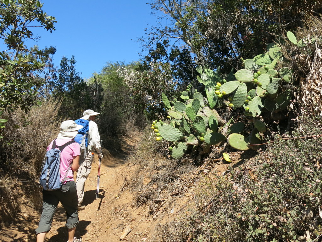
October 3rd – Ahmanson Ranch – Lasky Mesa
8 hikers (+ Heidi, a cute dog) carpooled to the trailhead at the north end of Las Virgenes Road in the Simi Hills on a pleasant morning. A short distance after the hike began we reached a T-junction and turned right onto the East Las Virgenes Canyon Trail (ELVCT), a dirt road that winds through the Upper Las Virgenes Canyon Open Space Preserve (aka Ahmanson Ranch) to the Victory trailhead at the west end of Victory Blvd in West Hills. The preserve consists of a vast expanse of rolling hills and grasslands dotted with large old oak trees. Just before we would have reached the Victory Blvd entrance parking lot, we followed an old ranch road as it climbed up onto Lasky Mesa where we ascended to an overlook that provides a panoramic view of the San Fernando Valley and the Simi Hills. Continuing our hike on Lasky Mesa we soon reached several buildings on the site of the old ranch house and some much-needed shade. NOTE: Lasky Mesa is named for Jesse L. Lasky, a key founder of Paramount Pictures. A number of famous movies were (partially) filmed here, including the sunrise scene in Gone with the Wind in which Scarlett O’Hara declares “As God is my witness, I’ll never be hungry again.” After a short break we followed a trail down to the ELVCT and the connector trail that took us back to our vehicles. We returned to Simi Valley having completed a pleasant 6.6-mile hike with around 750′ of elevation gain/loss. NOTE: Refer to the following web site for an excellent and very interesting history of the Ahmanson Ranch (and surrounding) area: http://www.moviesites.org/laskymesa.htm.
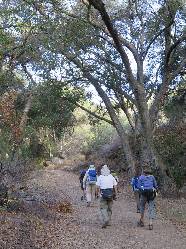
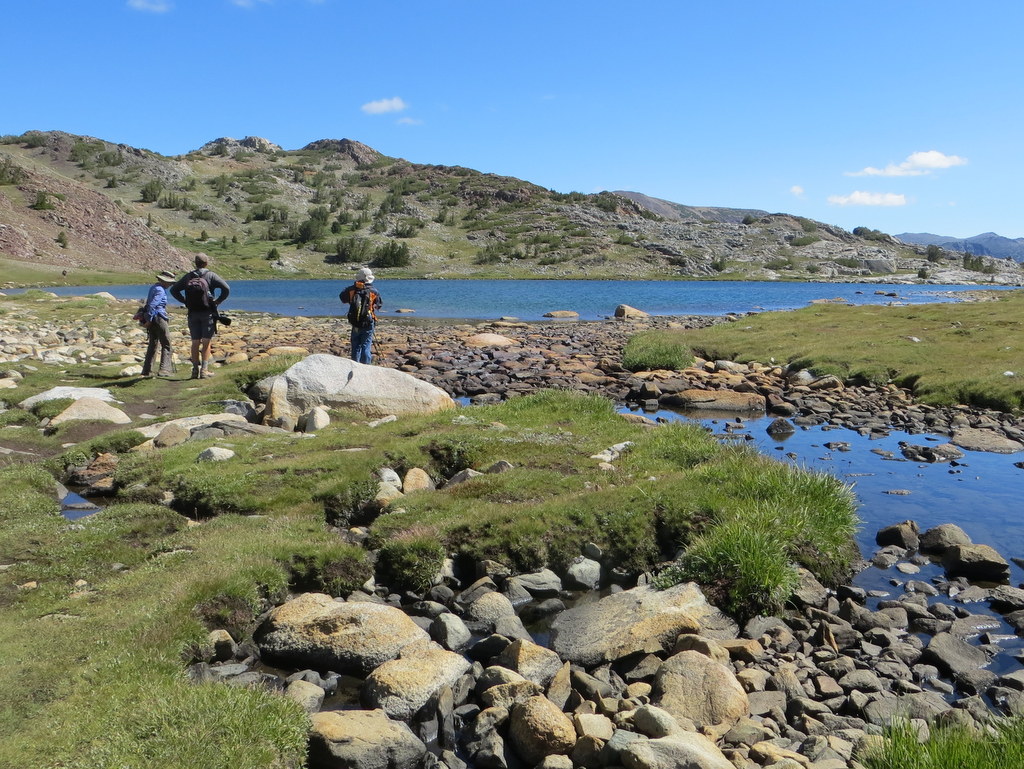
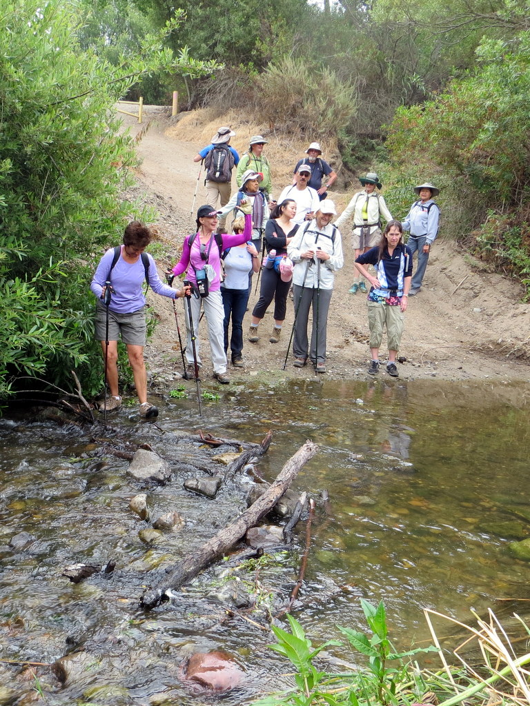
September 19th – Solstice Canyon – Sostomo Trail – Deer Valley Loop & Tropical Terrace
11 hikers carpooled to Solstice Canyon in the Santa Monica Mountains National Recreation Area on a warm, humid late-summer morning. The out-and-back hike began by following nearly dry Solstice Creek along the easy well-shaded Solstice Canyon Trail (a dirt road), taking advantage of two short trails paralleling the dirt road along the way, and reaching the Sostomo Trail after about one mile. Shortly after we began our hike we were treated to views and the loud squawks of 20 or more beautiful green wild South American parakeets/parrots flying from sycamore tree to sycamore tree. Next we followed the Sostomo Trail as it climbed steadily toward a junction with the Deer Valley Loop Trail as the day grew noticeably warmer. As the somewhat-shaded trail rose we had good views of Solstice Canyon and the Rising Sun Trail across the canyon. After reaching Deer Valley, we followed the loop trail in a clockwise direction as it ascended the mountainside to an overlook of the Pacific Ocean. As we neared the overlook a much-appreciated marine breeze cooled us a little. After a short break we completed the loop and then returned along the Sostomo Trail to the Solstice Canyon Trail. Turning left we walked a short distance to Tropical Terrace, the ruins of the Roberts house built in the 1950s and destroyed by wildfire in 1982. At one time there were giraffes, camels, buffalo, African deer, and exotic birds in the canyon. We took a break at Tropical Terrace and enjoyed the ambiance of palm trees and the drought-deprived adjacent Solstice Creek. We then returned to our vehicles via the Solstice Canyon Trail having completed a 7.1-mile hike with 1,559′ of elevation gain/loss.
September 12th – Serrano Canyon Loop
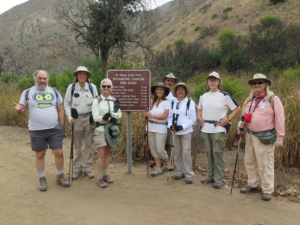
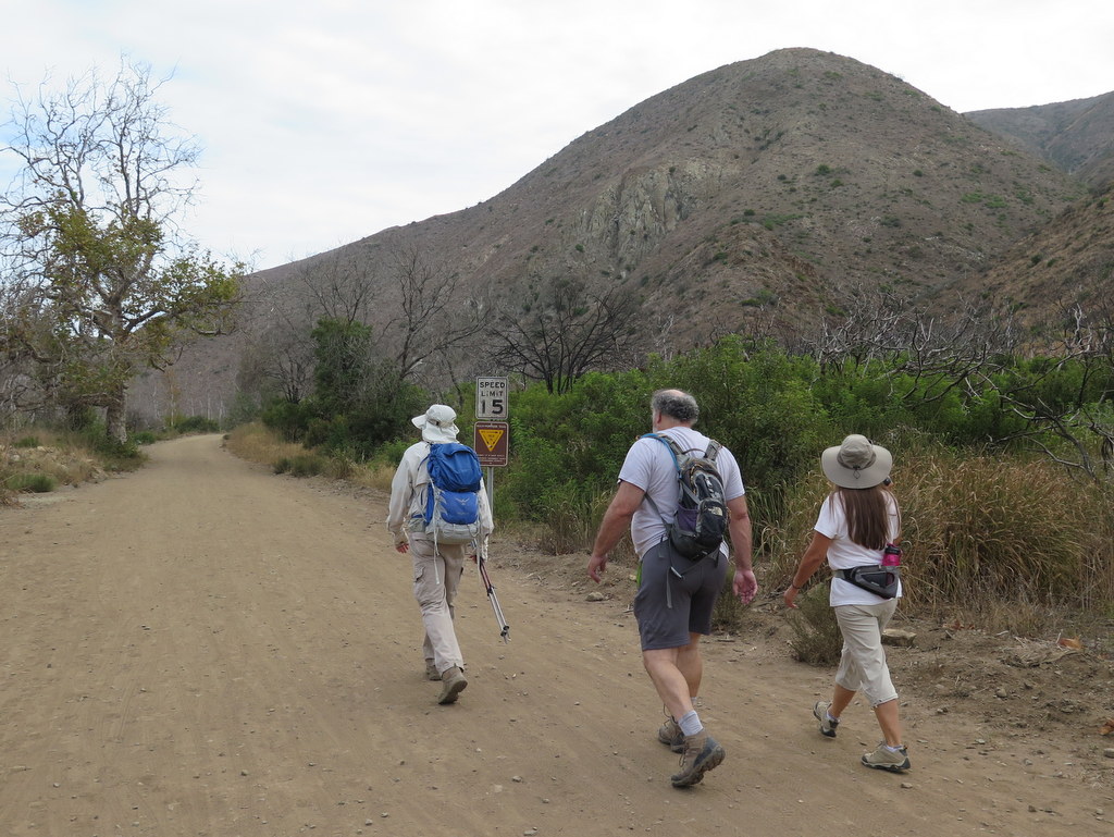
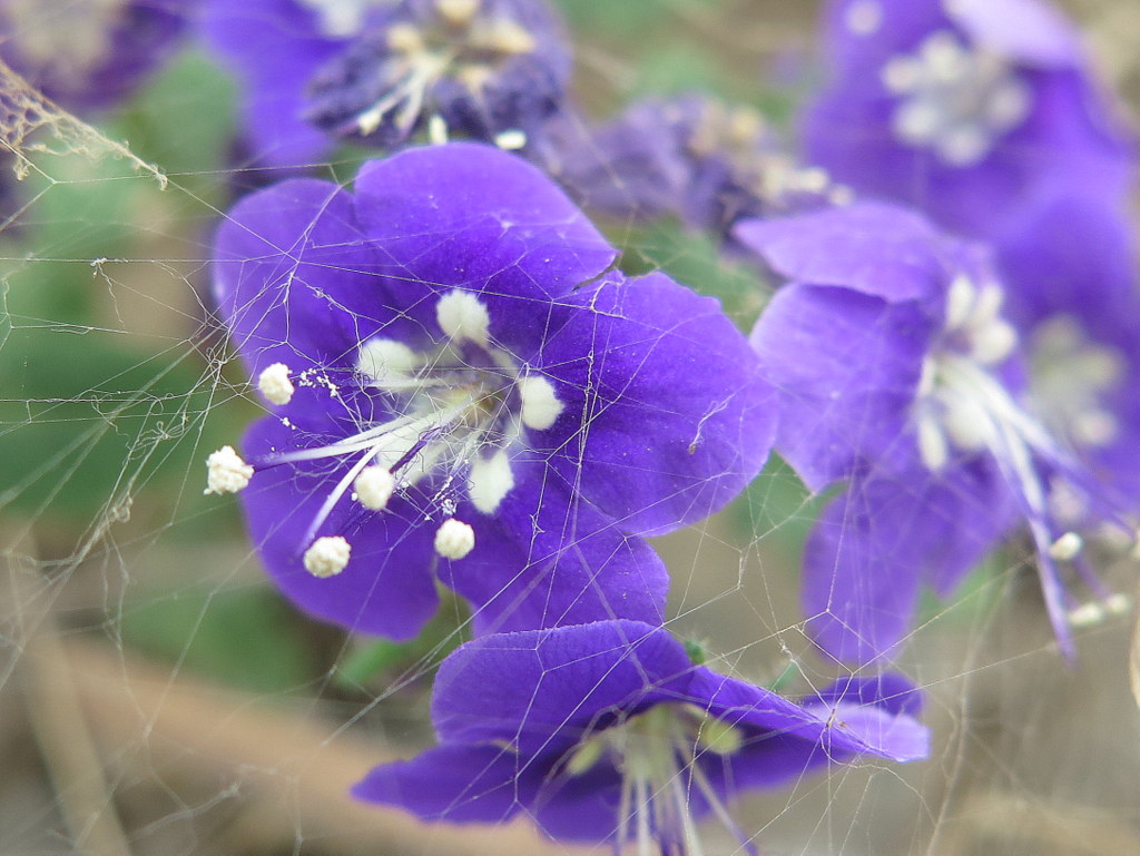
9 hikers carpooled to the Sycamore Cove parking lot in Point Mugu State Park on a day for which high temperatures were forecast. Fortunately we benefited from cloud cover during the entire hike which limited temperatures to the mid-80’s with no direct sunlight. We began our hike along the beach by passing through a tunnel under Pacific Coast Highway after which we hiked through the Big Sycamore Canyon Campground and then up the Big Sycamore Canyon dirt road a little over a mile to the Serrano Canyon trailhead. We then hiked eastward through lovely Serrano Canyon up to Serrano Valley, a vast grassland surrounded by mountains. After a short break, we hiked northward along the Serrano Valley Trail as it climbed up to a mountain ridge which provided excellent views of the surrounding area and a cool breeze. The effects of the prolonged drought were abundantly evident: there was virtually no water in the streams, the chaparral and many trees were desiccated, and there was very little wildlife (small lizards) and only cliff asters were blooming. Nevertheless, the mountainous scenery was still worth the effort to see it and we all benefited from the exercise. We descended back into Big Sycamore Canyon via the Old Boney Trail and then returned to Sycamore Cove via the Big Sycamore Canyon dirt road, thus completing an 11-mile hike with about 1,400′ of elevation gain/loss.
September 5th – Arroyo Simi Bike Path Ride – Madera Road to Yosemite Ave
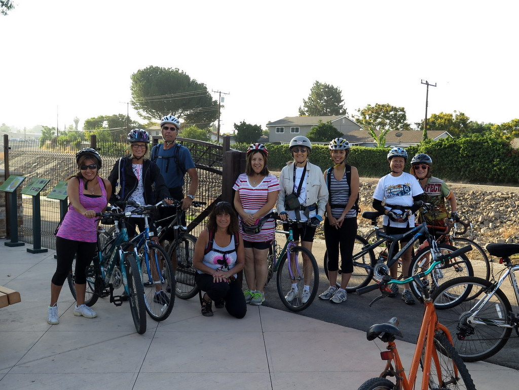

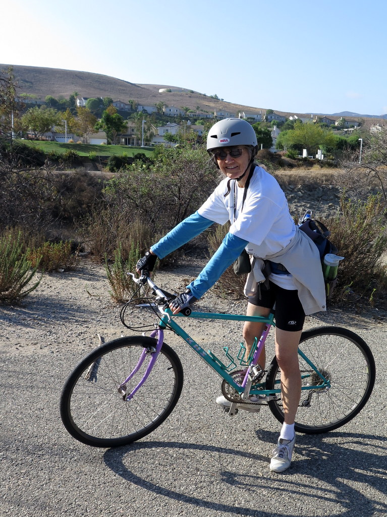
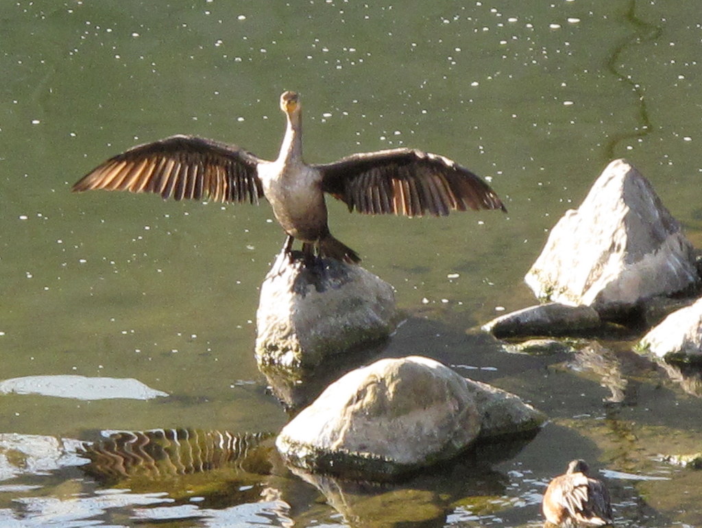
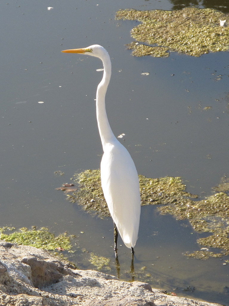
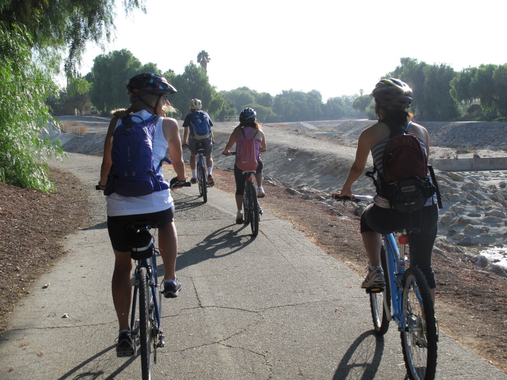
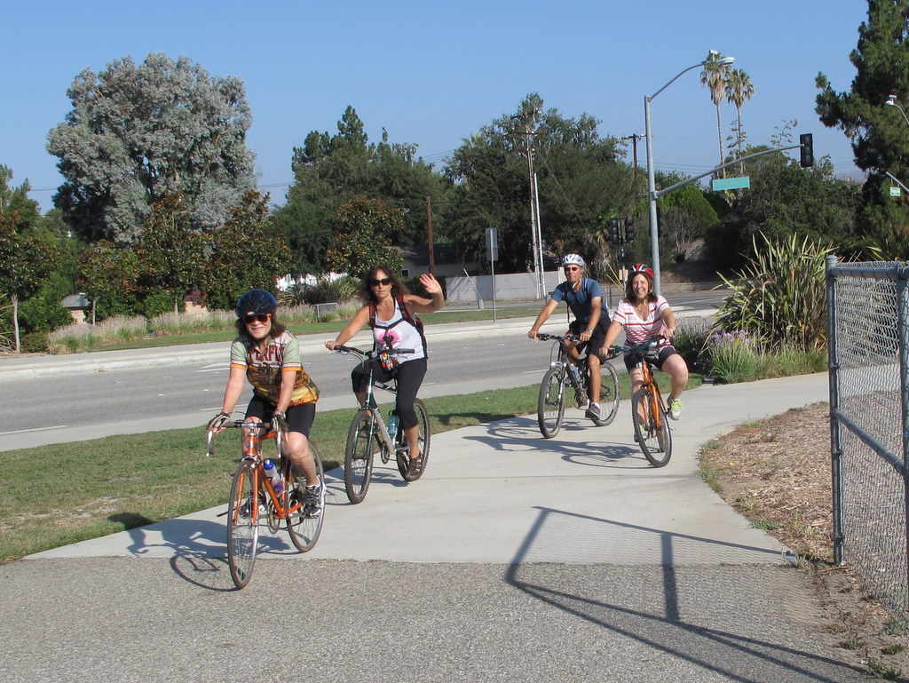
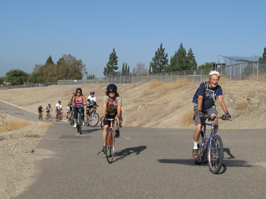
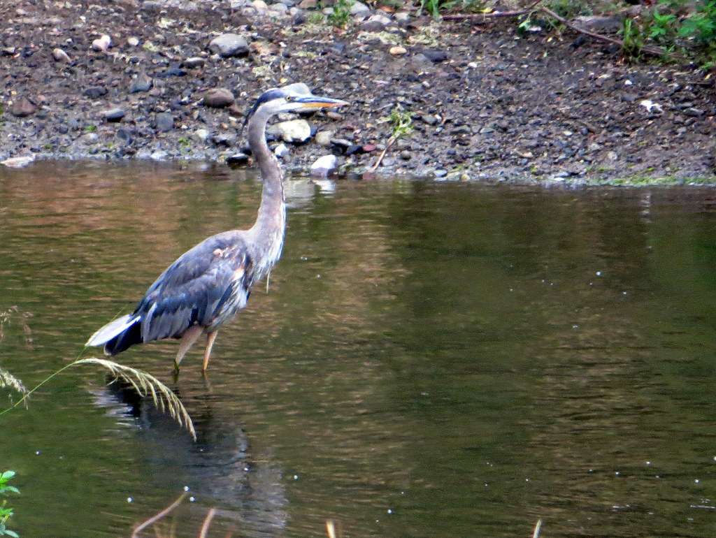
It was a cool, clear, and beautiful, early September morning and perfect for a bicycle ride. Several species of water birds were strutting their stuff in the Arroyo, especially at the western end. We saw a Great Blue Heron, a dozen egrets, and a multitude of mallards, coots and grebes. There were many more birds on our ride this year. Again, still under our severe drought conditions, many parts of the Arroyo were dry, but there was still sufficient water to support a struggling ecosystem. It was a good turnout, compared to other years. There were 12 riders in total. Returning to our cars, we completed exactly 16.1 miles, and about 350′ of total elevation gain and loss. The ride was a great change of pace from our usual hiking schedule.
August 29th – Mt. Islip from Islip Saddle via the PCT
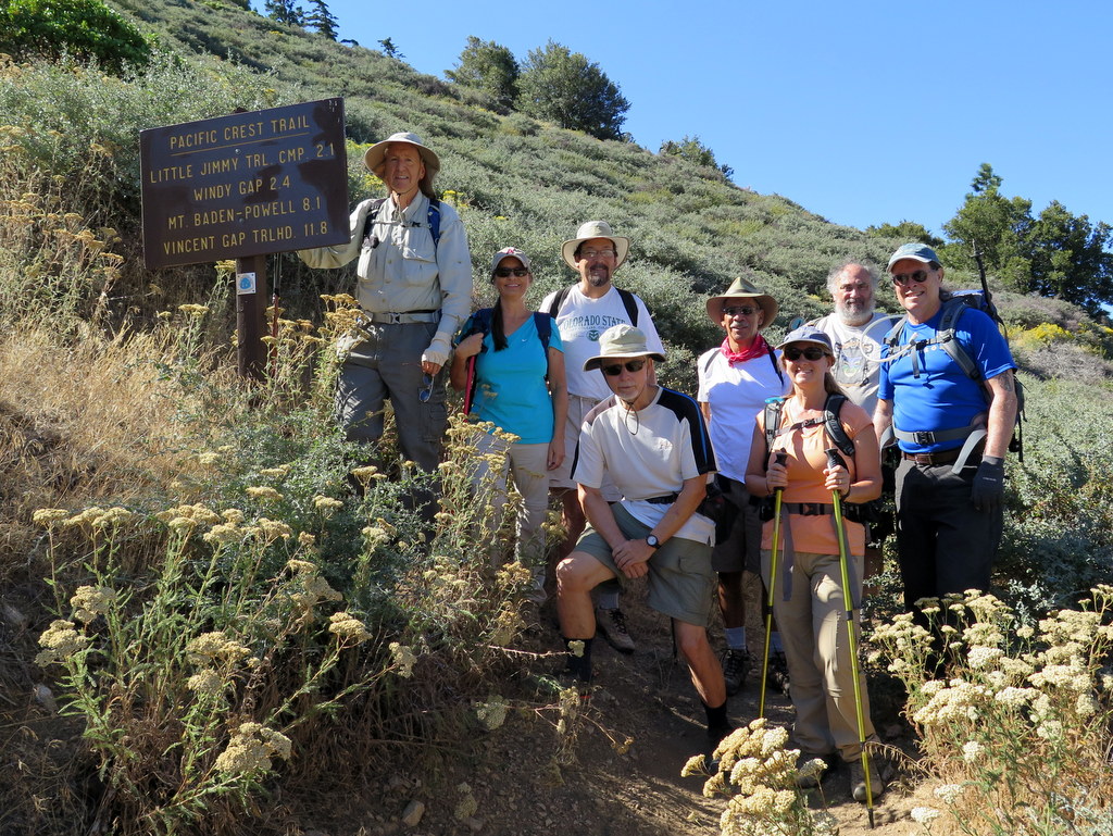
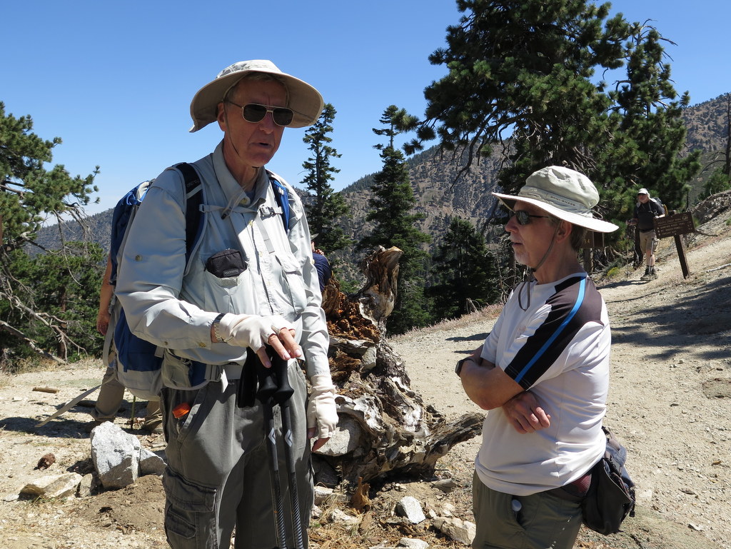
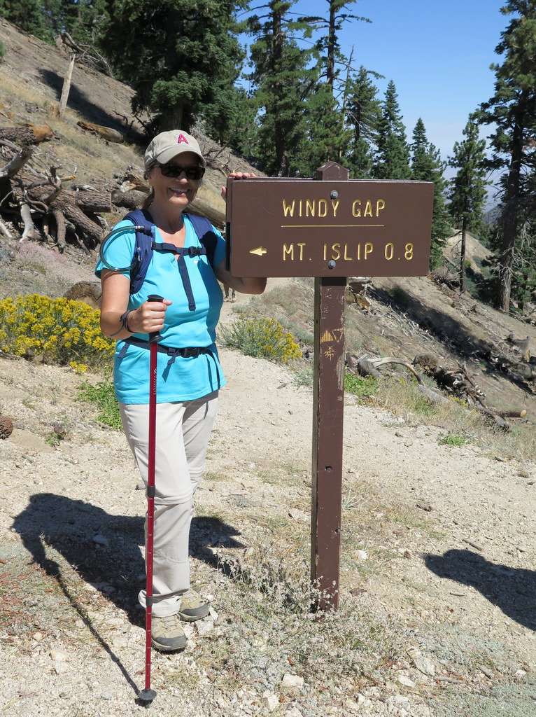
Nine hikers carpooled via the Angeles Crest Highway (Hwy 2) to Islip Saddle (6,669′) in the San Gabriel Mountains [Angeles National Forest] on an already warm morning in Simi Valley (with its forecast of temperatures approaching 100 degrees Fahrenheit during the day). Our hike began along the Pacific Crest Trail (PCT) opposite the Islip Saddle parking lot; the temperature was a pleasant 75 degrees. The trail climbed eastward soon skirting a large meadow and then entering a pine-scented forest. After two miles of hiking we reached shady Little Jimmy Trail Camp (7,501′) which is equipped with picnic tables and bathrooms; many backpackers had already set up camp. We then continued on to appropriately named Windy Gap (7,588′), passing many hikers along the way. Next we followed the Islip Ridge Trail to the south as we climbed to the peak of Mt. Islip (8,250′). Once there we took a lunch break and enjoyed the 360-degree views of the surrounding mountains, the Antelope Valley, and the Crystal Lake Recreation Area to the east. Leaving Mt. Islip, we descended to Little Jimmy Trail Camp via an old trail, bypassing Windy Gap. We then retraced our route to the parking lot at Islip Saddle. We arrived back home having completed a very pleasant 7.6-mile hike with 1,683′ of elevation gain/loss while enjoying mild temperatures, cool breezes, lots of shade, and some blooming wildflowers.
August 23rd – Malibu Bluffs Park to the Malibu Pier
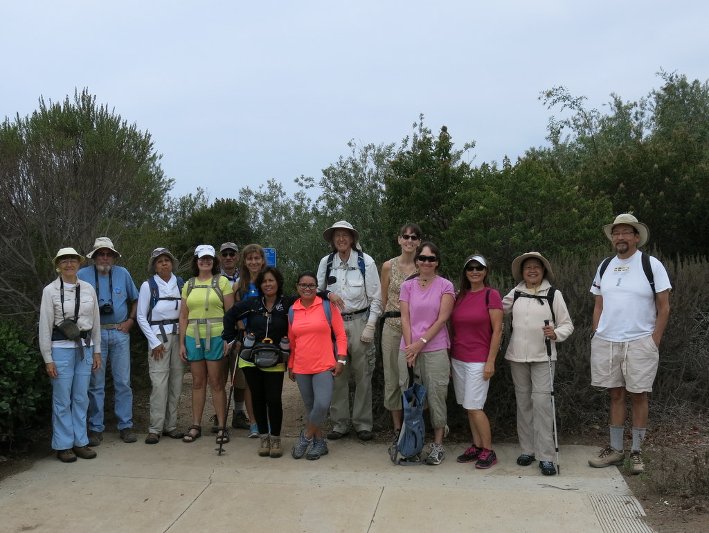
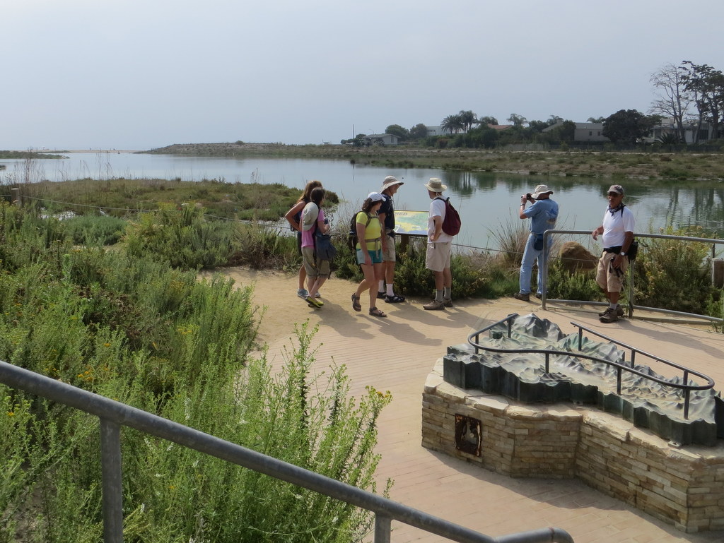
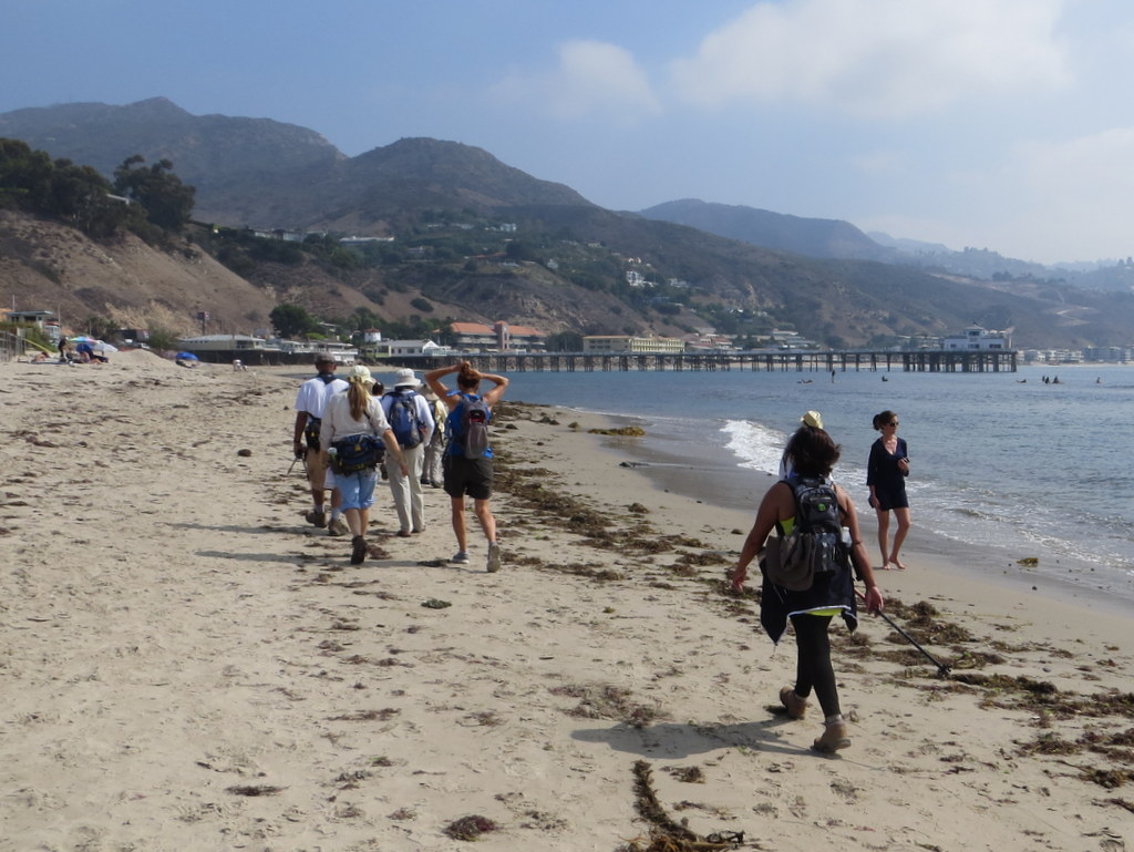
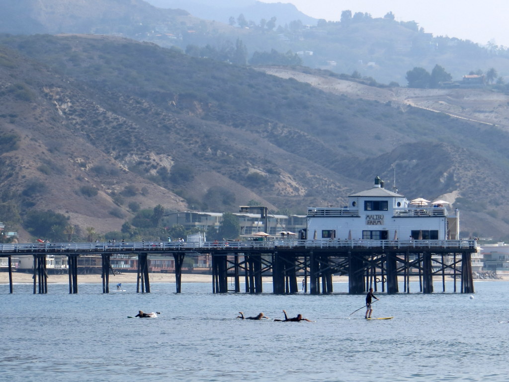
15 hikers carpooled to Malibu Bluffs Park (at the intersection of Malibu Canyon Road and Pacific Coast Highway) on a pleasantly cool morning. When we arrived at the park a light marine layer continued the cool temperature. As we began our hike from the trailhead near the northwest corner of the parking lot, we made our way along one of many trails through chaparral to the Malibu Bluffs and descended to Malibu Road. Heading east we soon located one of the few public stairways leading down to the public beach. We continued eastward along the nice beach enjoying the beautiful ocean and sky until we reached a point at which continuing would have required significant wading. We retraced our route to Malibu Road and followed it eastward past expensive beachfront homes until we reached lovely Malibu Lagoon (at Cross Creek Road). Skirting the lagoon we walked along kelp-festooned Malibu Lagoon State Beach to Malibu Pier where we took a lengthy break and watched paddle boarders. Returning along Malibu Road to the public stairway we’d originally taken down to the beach, several hikers decided to return to the parking lot; the rest of the group again descended to the beach and walked westward along it until it curved to the right. We then returned along the beach and followed a different trail back to the parking lot. We headed home having completed an 8.8 mile hike with about 350′ of elevation gain/loss on a very nice day at the beach.
August 15th – Temescal Gateway Park to Will Rogers State Historic Park via Rivas Canyon
Only 4 hikers carpooled to the upper parking lot at Temescal Gateway Park, a lovely refuge from the nearby urban congestion that borders Topanga State Park. Despite severe heat warnings for much of the greater Los Angeles area, the park was teeming with hikers. Our hike began along a paved road that led pleasantly past rustic buildings constructed in the 1920’s for the Methodist Church as a west coast center for the Chautauqua movement. The whole area is shaded by towering eucalyptus trees as well as oak trees and a variety of other non-native trees such as palms and conifers. We soon joined the shady trail that led up to the northeast over a ridge before descending into heavily shaded Rustic Canyon. Atop the ridge we had good views to the south and east, particularly of the ocean. Despite the ongoing drought we spotted a few blooming plants, mainly cliff asters. After hiking downstream (no water) through Rustic Canyon we followed a short connector trail to Will Rogers State Historic Park where we took a lunch break on the front porch of the old ranch house and enjoyed the rocking chairs and the views of the spacious green lawn and the nearby polo field. We then returned to Temescal Gateway Park and our vehicles via the Rivas Canyon trail, completing a 6.0-mile hike with 1,136′ of elevation gain/loss on a warm and humid day.
August 8th – Westward Beach to Point Dume to Paradise Cove
11 hikers carpooled to Malibu and Westward Beach Road where we took advantage of limited free parking along the road and then hiked to the parking lot trailhead. The temperature was pleasant but there was high humidity as we began hiking up and over Point Dume. After an easy climb onto Point Dume, we followed a trail as it led down to Dume Beach. The tide was ebbing as we leisurely walked along a stretch of rocks and then sandy beach for two miles, enjoying the ocean sounds and sights, eventually arriving at the Paradise Cove Beach Cafe (http://www.paradisecovemalibu.com), a landmark for decades. We rested for a while in the free-of-charge Adirondack chairs facing the ocean outside the restaurant; there were lots of beachgoers enjoying the day. Since the rising tide threatened to cut off our return route, we soon resumed our hike and headed back along the beach the way we had come. After climbing back onto Point Dume, we hiked to an observation platform which afforded views of the ocean; we spotted numerous seals lounging on rocks. We continued on the trail around the point and descended to the parking lot where preparations for a wedding on the beach had been completed and guests were arriving. Agreeing that the outing was a nice change of pace, we then headed home having completed an easy 5-mile hike [plus a mile each way to/from where we parked] with about 350′ of elevation gain.
August 1st – Newton Canyon
Thirteen hikers, met at the Donut Delite parking lot and carpooled to the Newton Canyon Trailhead, where we met two more hikers from Thousand Oaks. The Newton Canon trail follows a segment of the Backbone Trail, known for its extensive riparian canopy. It is the shade, provided by this canopy, that makes this hike a good choice in the hot Summer months. A quick check with NOAA weather indicated that the forecast trailhead temperature, near the end our our hike, would be about 85 degrees. Humidity was very high today, so the comfort window was short. Turns out, NOAA’s forecast was almost spot on. We stopped about a half-mile before the end of our hike, because the heat and humidity were becoming increasingly uncomfortable. There were no wildflowers in evidence, except a few Indian Pink blooms. The automobile AC felt very good, having completed just over about 6.2 miles, with 1,280′ of total elevation gain.
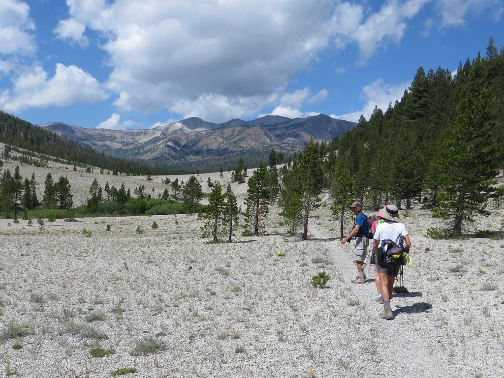
Eastern Sierra Hiking and Camping Trip
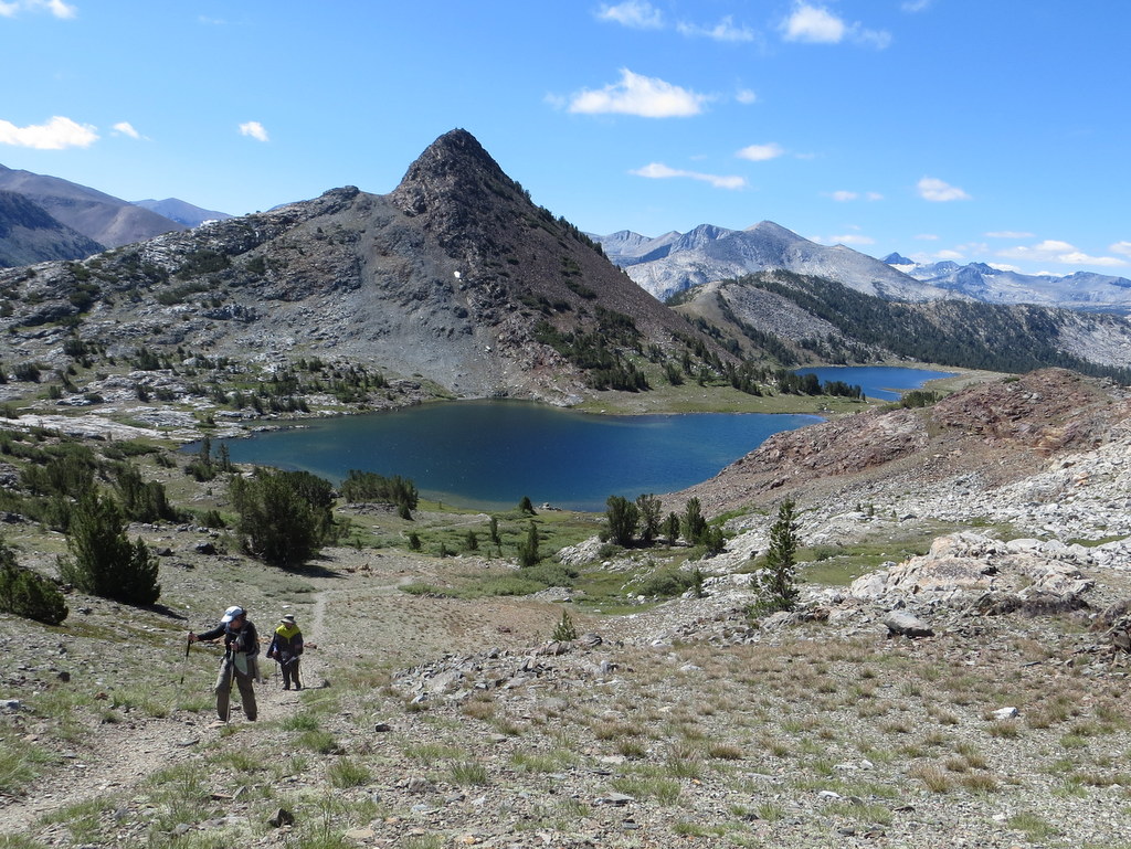
July 25th – Highway 120 to Bennettville and up to Fantail lake
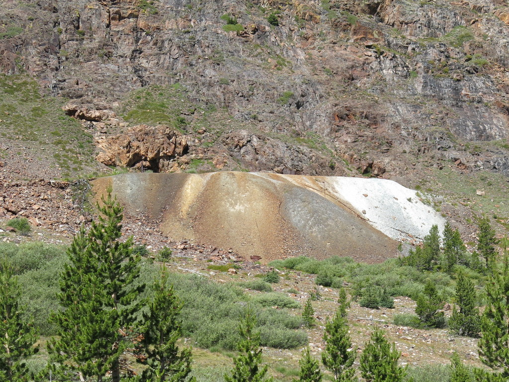
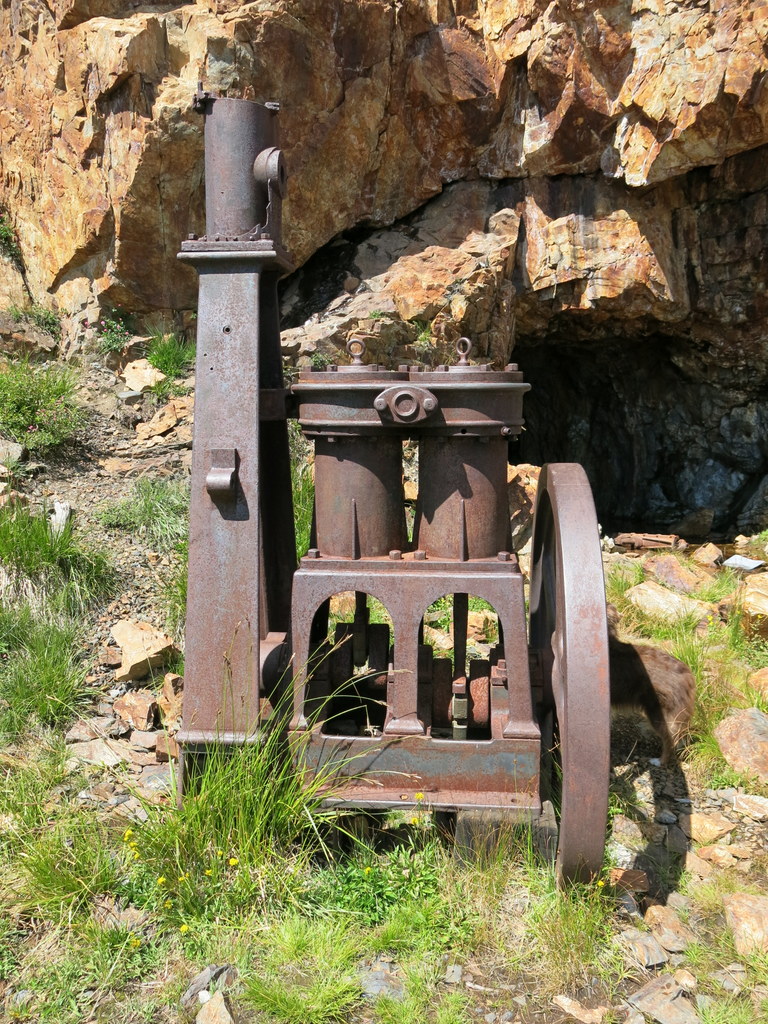
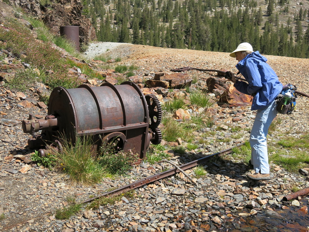
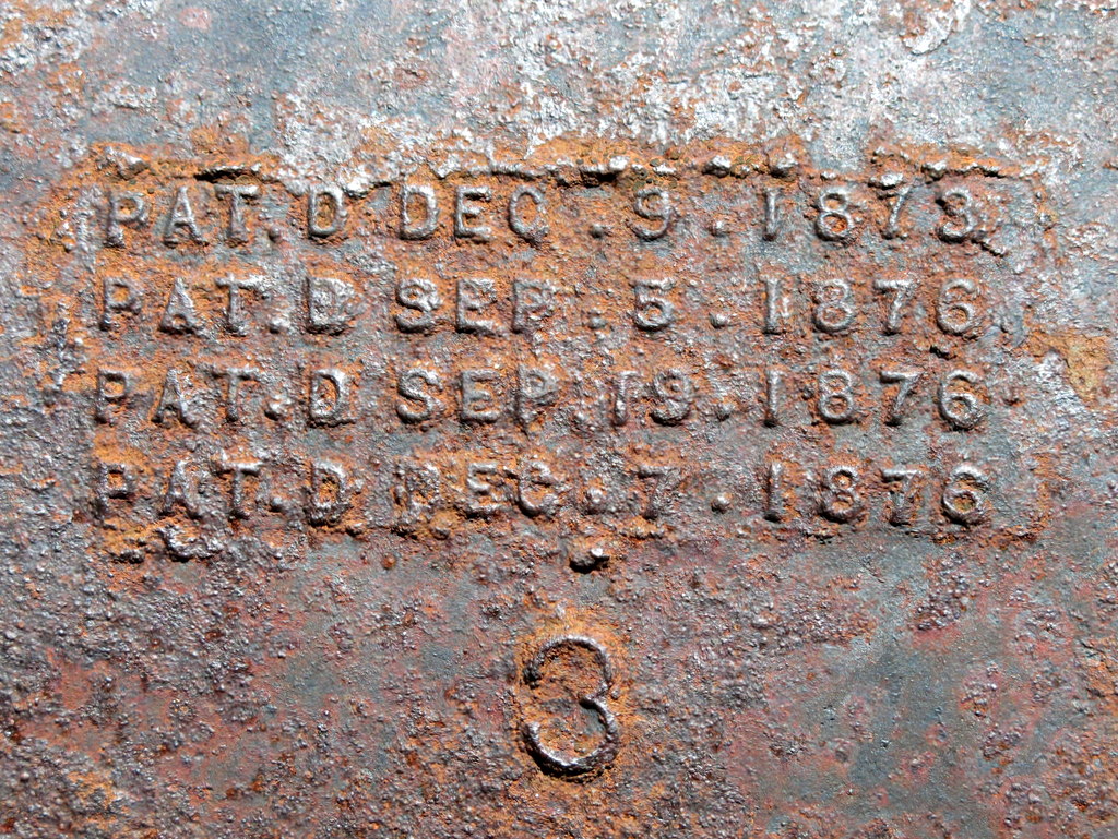
Bennettville was a 19th century silver mining community. The Assay Office (small building) and Bark/Bunkhouse (large building) are all that remain of the original 14 buildings. Although short-lived (1882 – 1884), this community was the primary reason for the construction of the Tioga Pass Road (Highway 120). The US Forest Service and the State of California, restored these remaining structures to historic specifications during the summer of 1993. A 1,784′ tunnel was blasted into solid rock by the Great Sierra Mining Company, in an attempt to intersect the silver lode from above, on the eastern side of the Tioga Pass summit. No silver ore was ever recovered. In 1889, a new company called the Great Sierra Consolidated Silver Company, extended the tunnel an additional 216′, but again silver ore was never found.
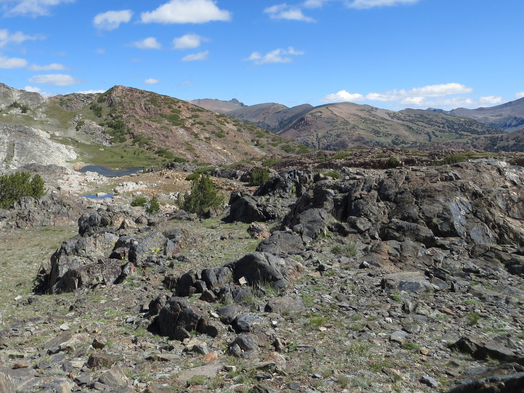
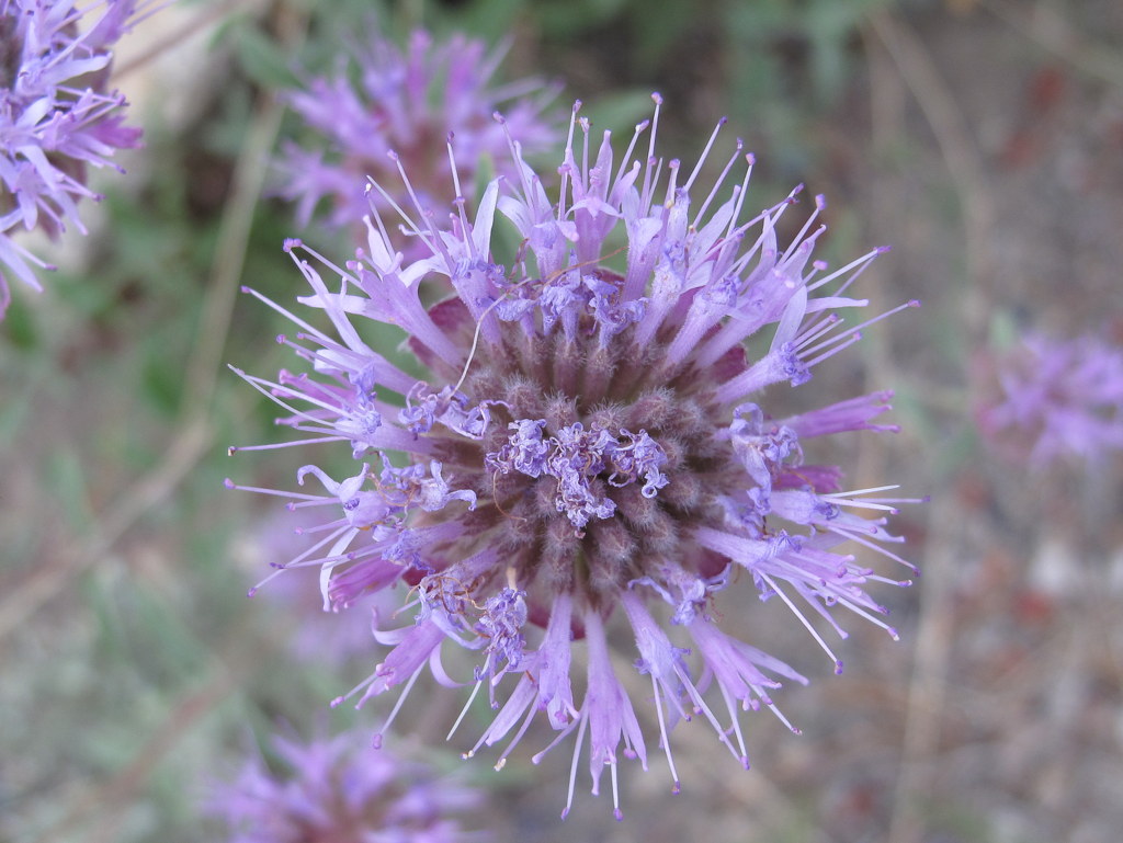
Our hike started at the Tioga Pass Road, adjacent the northwestern since of Tioga Lake. We passed 3 unnamed lakes before reaching the tunnel in Bennettville. Near the tunnel, were some relatively well preserved mining equipment, including a two-cylinder steam engine, boilers, jackhammer and pump. Continuing up the drainage, we passed the picturesque Shell, Mine and Fantail Lakes. Two members of our group continued on to Spuller Lake, adding another mile and a few hundred feet of elevation gain to their hike. In all, this hike had everything you could ever want, including much evidence of glaciation and colorful wildflowers. Each lake we encountered seemed more beautiful than the last.
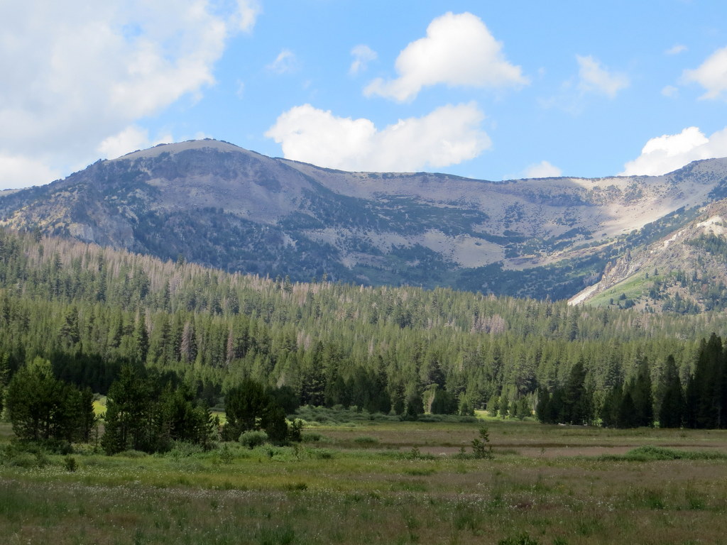
July 24th – Gaylor Lakes and the Great Sierra Mine Trail
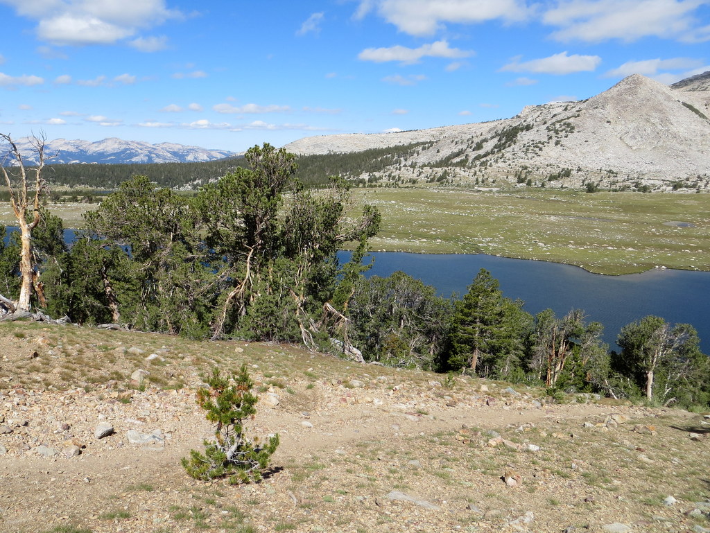
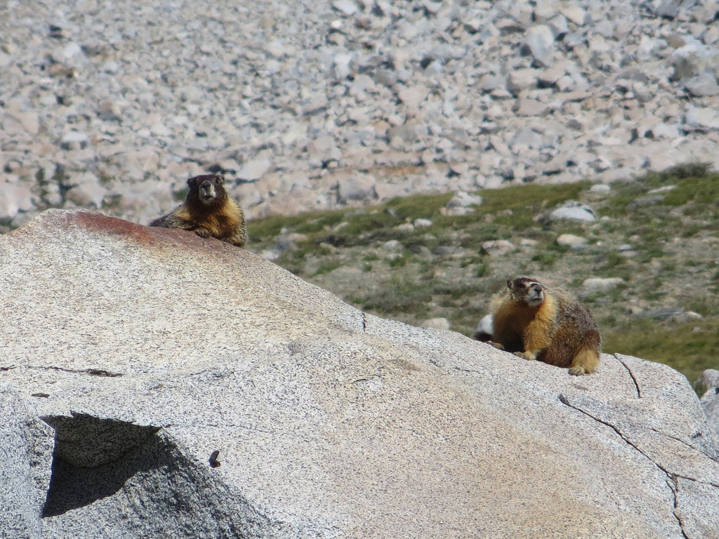
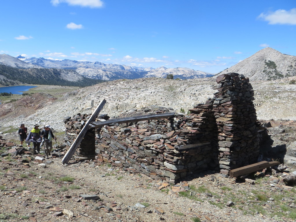
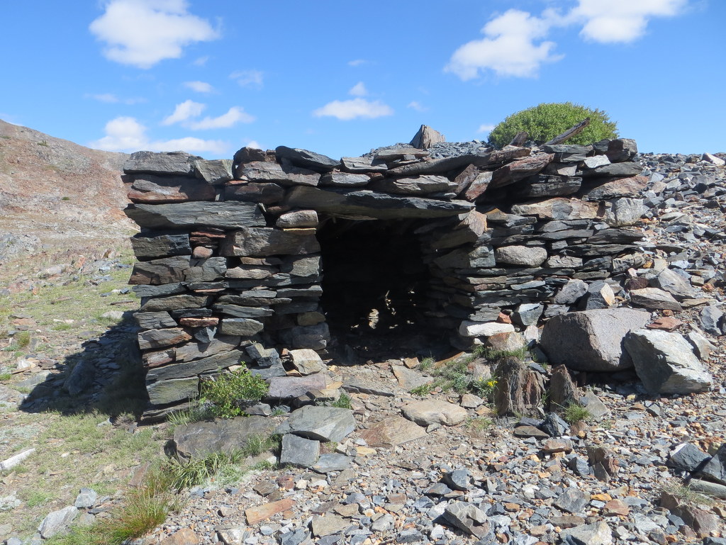
The trailhead is located just west of the Tioga Pass Entrance Station to Yosemite National Park. At first the trail rose steeply through a forest as it gained 600′; it then descended to Gaylor Lake #1 near which we spotted some marmots. The view of the mountain peaks to the south/southwest was spectacular. The trail then ascended to Gaylor Lake #2 and then up to the ruins of a silver mining operation. The Great Sierra Mine Historic Site preserves the site of the largest mining operation in what would become Yosemite National Park. The Sheepherder silver lode was discovered in 1860 and all claims were bought out by the Great Sierra Consolidated Silver Mining Company which established the company town of Dana which was soon relocated to Bennettville (see below). The mining operation was a failure.
Several of the hikers decided to hike over to Granite Lakes and then southwest along a trail to Tioga Road where they were picked up by a fellow camper. This added several miles but little elevation gain to their hike.
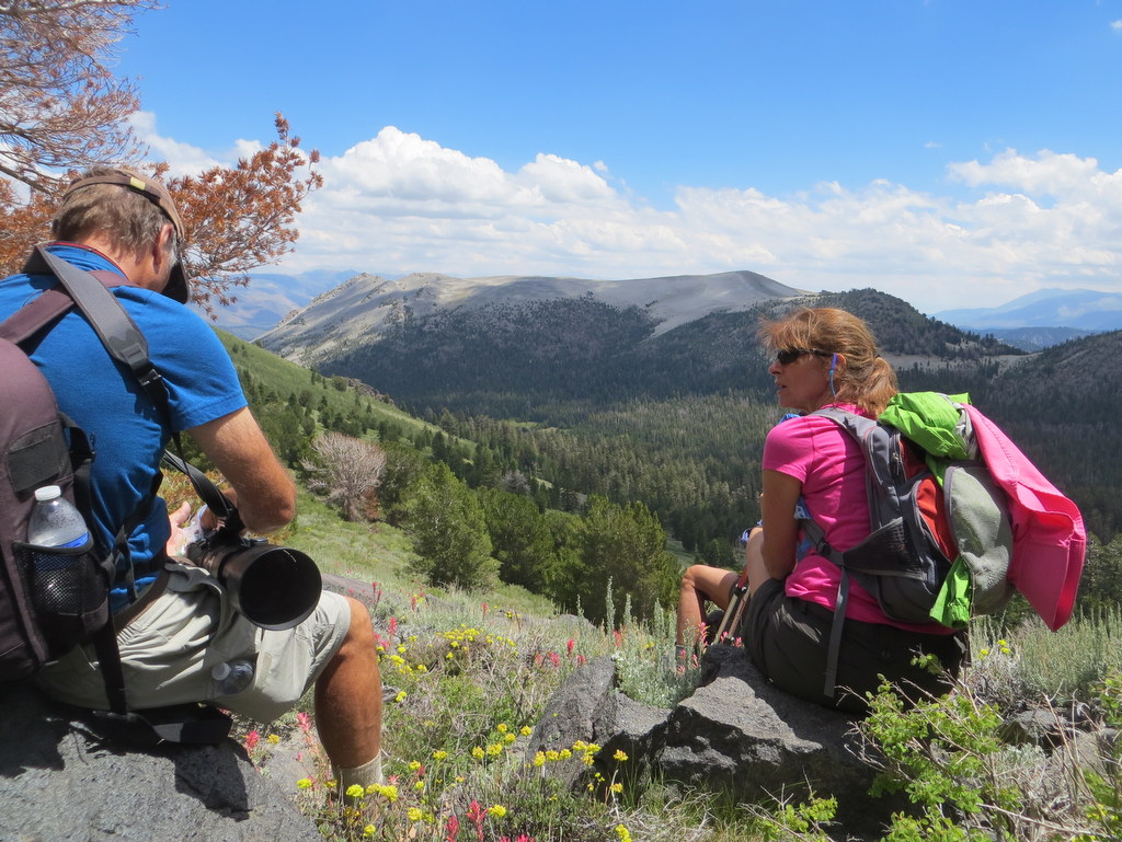
July 23rd – Obsidian Dome, Glass Creek Trail, and Cross-country to Yost Lake
Obsidian Dome (0.8 mile w/130′ elevation gain/loss)
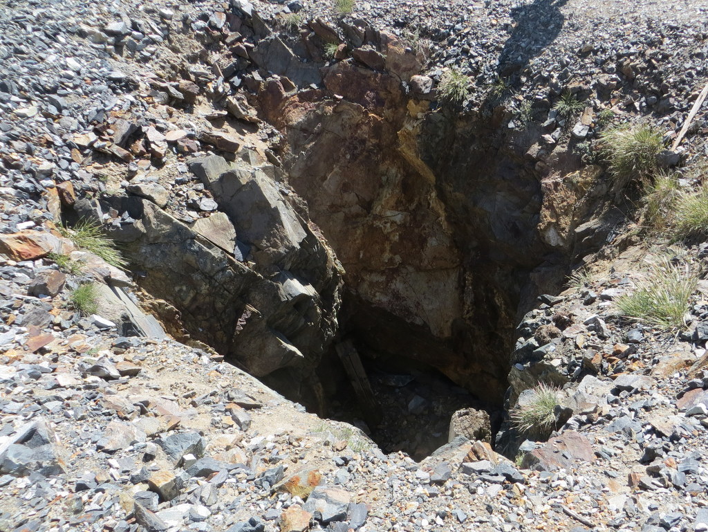
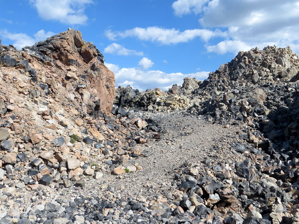
Heading south from June Lake on Hwy 395 toward Mammoth Lakes, we turned right (west) on signed Obsidian Dome Road after a few miles. We followed this well-graded dirt road to a sign reading “Obsidian Dome Parking;” ignoring the sign we continued driving south on the dirt road (staying left at a junction with a road leading to Hartley Springs Campground) and eventually reached a second fork in the road. We took the left fork a short distance and parked near a dirt road cut into the hill on the left. Hiking up the hill, we were soon atop the southwestern section of the Obsidian Dome (8,281′), a huge collapsed volcanic dome (a mile in diameter) created out of lava which solidified to black glass; it’s made up of giant (car-sized) obsidian boulders and smaller obsidian pieces as well as rhyolite. This small part of the dome is an awe-inspiring otherworldly wonderland of multi-colored rock formations; it stands out uniquely on Google Earth due to its high concentration of obsidian (black glass).
Glass Creek Trail (2.0 miles w/500′ elevation gain/loss – or further)
Leaving the Obsidian Dome, we drove a very short distance back to the fork in the road and turned left; we then drove a short distance to the trailhead parking lot (at a dead-end in the road) for the Glass Creek Trail. As it entered the Owens River Headwaters Wilderness, the pleasant trail climbed gently along Glass Creek which is lightly forested with lodgepole pines, Jeffrey pines, and red firs, but then it rose steeply beside a long series of noisy cascades to a relatively level area where it led to a low ridge (8,665′) with views of the towering High Sierra peaks to the west. After continuing cross-country through the large meadow for a while, some of the hikers turned back and returned to the parking lot.
Cross-country to Yost Lake (6.5 miles with 1,162′ of elevation gain)
Several of the hikers continued on and soon began climbing steeply cross-country up a forested mountain slope to a high knob from which Yost Meadow could be seen and then descended cross-country to the Yost Lake Trail which provided views of Yost Lake (9,090′), Silver Lake (7,226′), Gull Lake (7,628′), and June Lake (7,630′); the trail crossed Fern Creek on the way down. These hikers were picked up by their fellow campers at the trailhead parking area on the June Lake Loop not far from the Double Eagle Resort and Spa.
July 22nd – Lundy Canyon Trail
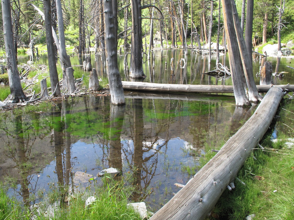
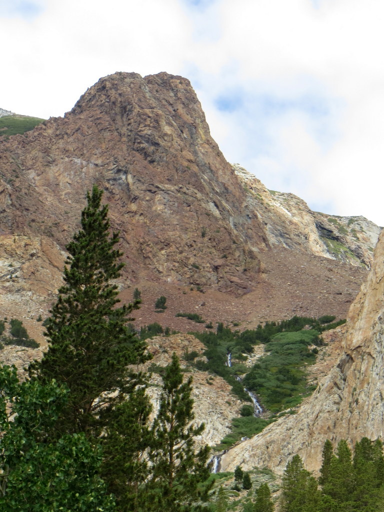
After driving past Lundy Lake to the west end of Lundy Lake Road, we reached the Lundy Canyon trailhead (8,120′). The trail, bordered by quaking aspens, led along Mill Creek into Lundy Canyon. We soon reached a large beaver pond which provided us with stunning views of the lower Lundy Canyon Falls, the forested slopes ahead, and the peaks of the cirque beneath Black Mountain at the head of the canyon. After taking many photos, we followed the trail as it rose and passed near the top of the falls and then entered the Hoover Wilderness. We hiked past several beaver ponds, meadows, countless wildflowers, and several beautiful tributary creeks with active cascades; we crossed several streams on logs and rocks. Eventually we reached the ruins of a small building; continuing onward the trail passed through wooded areas and more meadows with picturesque waterfalls as we gained more altitude. When we neared the head of the cirque the trail began rising much more steeply on the granite-rock-covered mountainside toward Lundy Pass (10,320′). Eventually everyone turned back before reaching the pass due to the increasing risk of injury from a fall and the likelihood of rain (and perhaps lightning). We did get rained on during the return hike but it wasn’t a heavy rain and we donned our rain gear. All-in-all it was a strenuous but beautiful hike.
The hikers who had not visited the Black Point Fissures area on Tuesday (see below), did so immediately after the Lundy Canyon Trail hike.
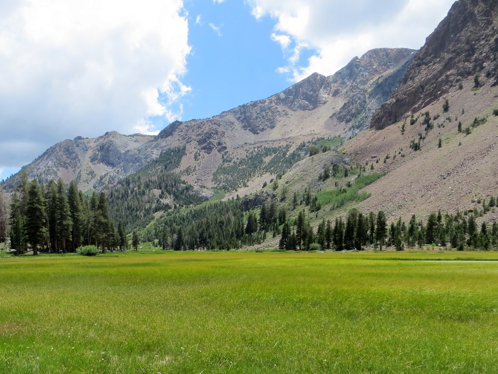
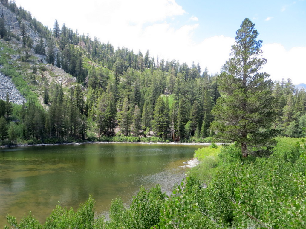
July 21st – Walker Lake to Mono Pass
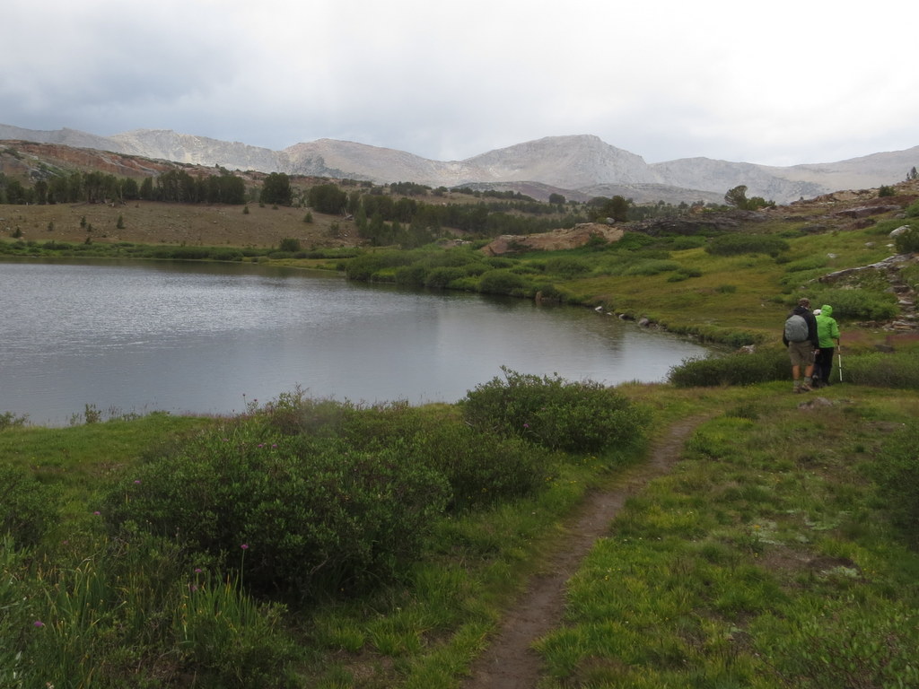
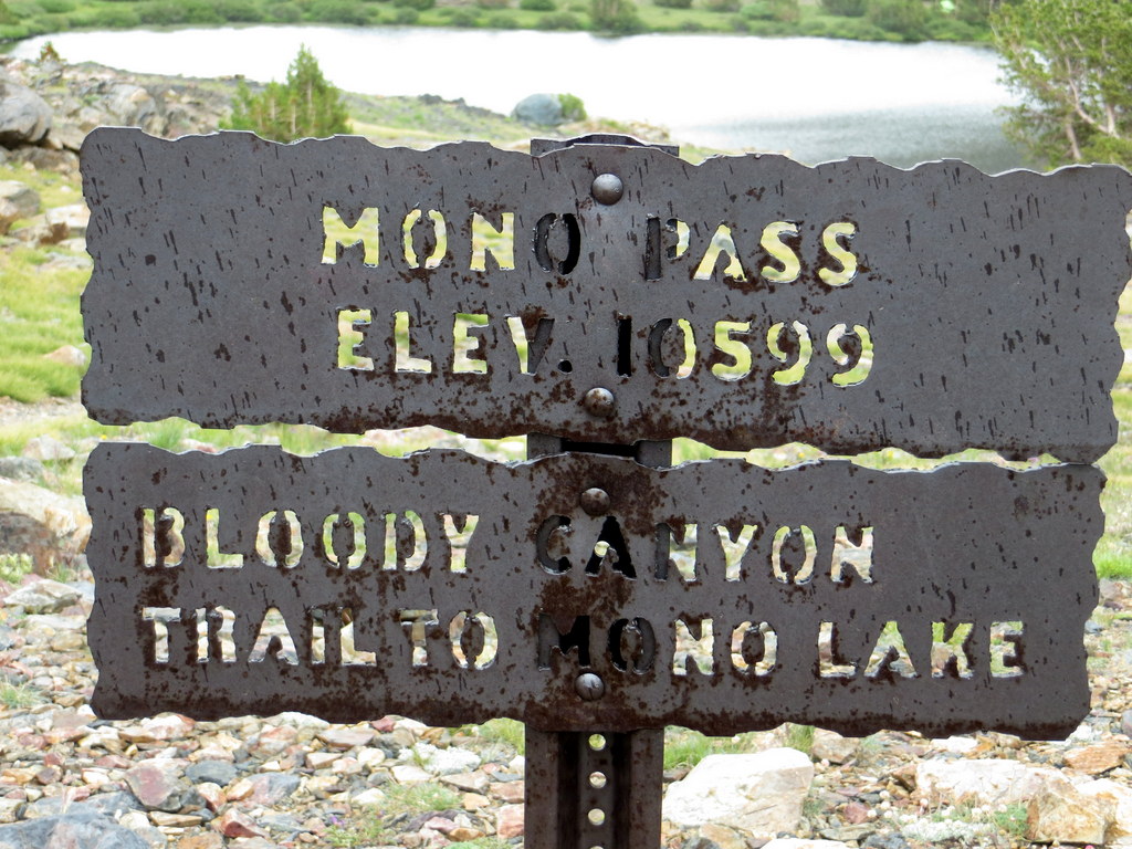
After a short climb from the trailhead parking area (8,200′) on Sawmill Canyon Road (FSR 1S23), the trail descended several hundred feet to lovely Walker Lake (7,942′); from there the trail entered a forest of conifers and we soon began climbing along the rocky trail beside a pretty stream with many cascades. As we gained altitude we passed through several meadows adorned with stunning wildflowers, eventually passing scenic Lower and Upper Sardine Lakes as we made our way to Mono Pass (10,620′) on the eastern edge of Yosemite National Park. This route, known as Bloody Canyon, was used to cross the Sierra Nevada before wagon roads were built; it is named for the injuries to stock animals that made this rugged crossing. NOTE: This Mono Pass (10,620′) should not be confused with the Mono Pass (12,045′) that connects Little Lakes Valley (Rock Creek) with Pioneer Basin.
Some of the hikers decided not to hike up toward Mono Pass; instead they explored the Walker Lake area. Later this group drove over to the Black Point Fissures area on the northwest side of Mono Lake. Black Point is a low volcanic hill, composed of ash and brownish-yellow conglomerate; it conceals several deep, narrow fissures which resemble small slot canyons. The fissures (which can be explored on foot) can be reached from the west via Cemetery Road and a dirt 4WD access road (we had to walk the last mile to the end of the access road due to abuse by previous vehicular traffic) — The fissures are located almost due west from the end of the access road (not down near the lake)
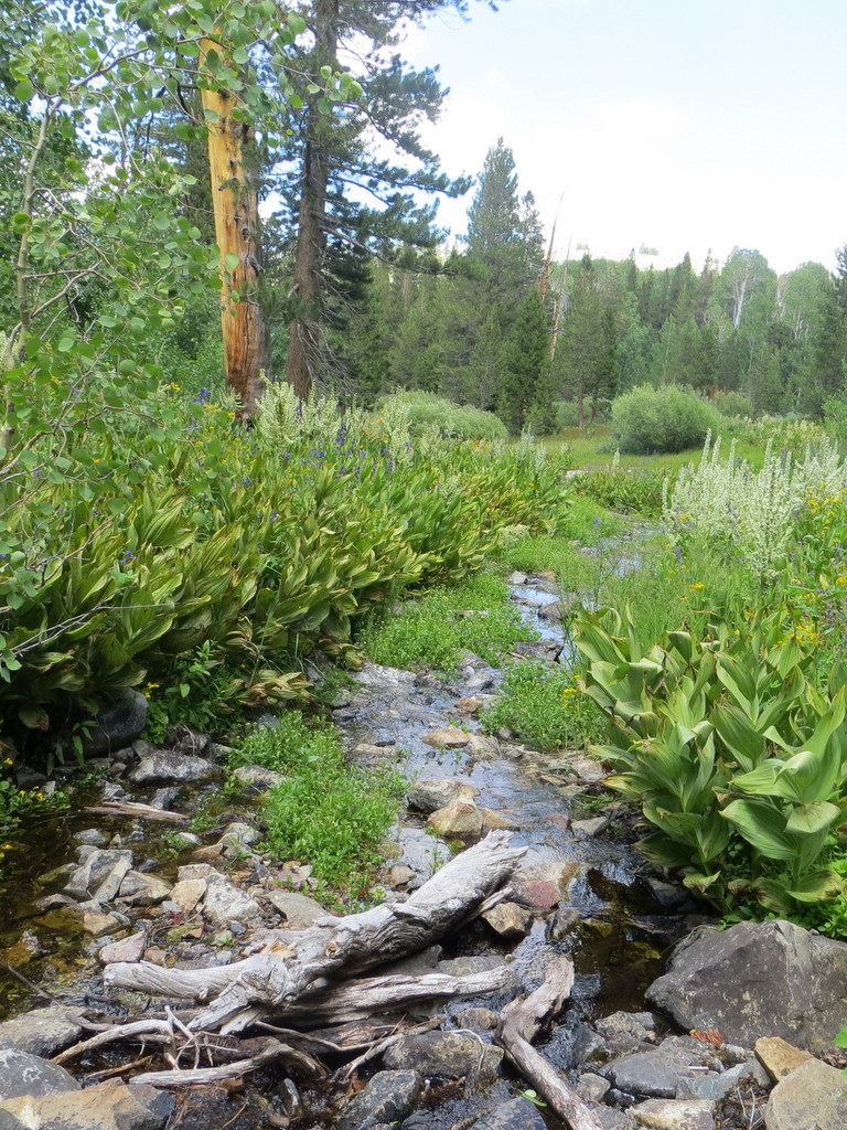
July 20th – Parker Lake
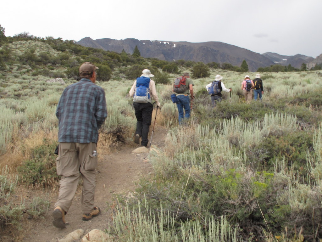
After arriving at Oh! Ridge Campground (~7,705′) on the northeastern shore of June Lake, checking in, and setting up camp, most of the 11 Rancho Simi Trailblazers who participated in the six-day outing in the Eastern Sierra Nevada headed for the Parker Lake (8,320′) hiking trailhead located west of Grant Lake on the June Lake Loop (Hwy 158) at the southwestern end of Parker Lake Road for a late-afternoon hike. At first the trail rose somewhat steeply amid sagebrush and abundant wildflowers as it entered Parker Canyon. It then rose gently beside quaking-aspen-lined Parker Creek which was flowing pleasantly despite the below-normal snowpack this past winter, until it reached lovely Parker Lake located in the granite cirque below Kolp Peak at the head of the canyon. On the return trip, there were good views of Mono Lake in the distance.
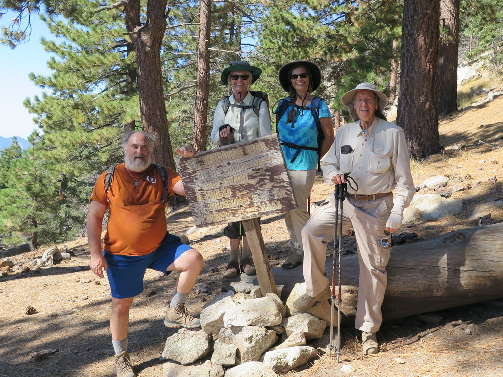
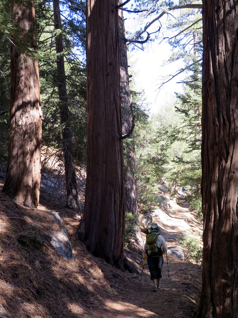
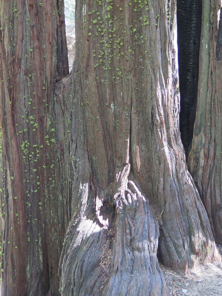
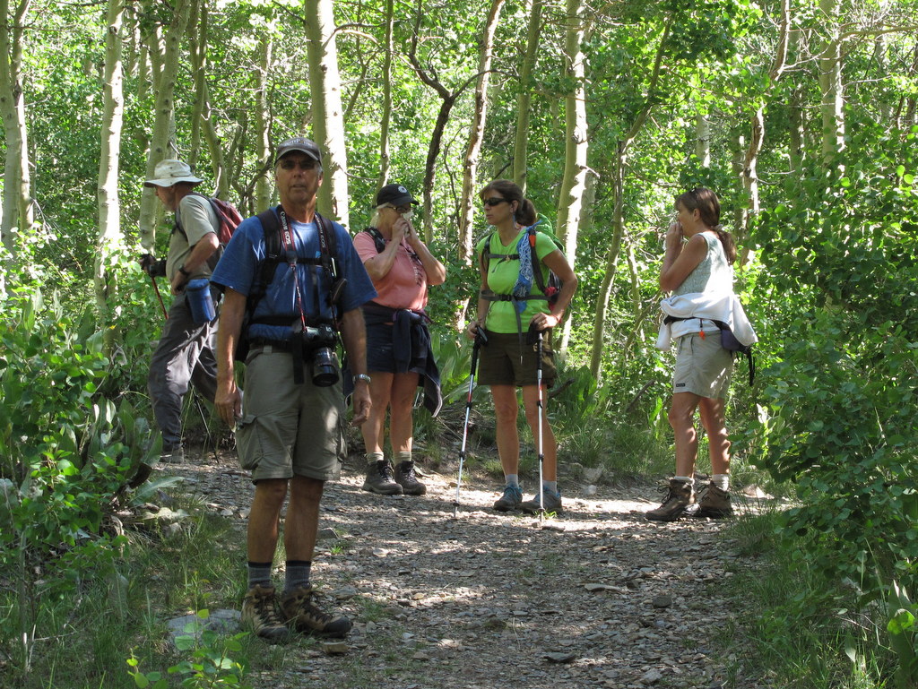
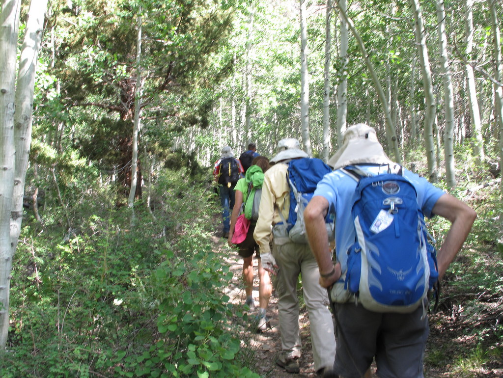
July 18th – Camp Three Falls to Lily Meadows
Eight hikers carpooled to the entrance to Camp Three Falls on Boy Scout Camp Road in Lockwood Valley on a beautiful morning with puffy white clouds and a blue sky. We began our hike along the lower end of the North Fork [of Lockwood Creek] Trail (22W02). At first the trail was a dirt road that led through the busy Boy Scout Camp; we followed the road as it continued through low hills dotted with pine trees and interesting rock formations until we reached North Falls, currently dry due to the ongoing drought. We then followed a narrow trail as it climbed up the mountainside to skirt the dry waterfall; this took us to a vantage point that provided us with a fine view to the southeast. The trail then followed Lockwood Creek upstream through a surprisingly verdant narrow canyon populated with a wide variety of blooming wildflowers as well as heavy brush in the streambed, though no water was visible. Eventually we emerged into the lovely pine forest surrounding Lily Meadows where we took advantage of a picnic table with benches for our lunch break. Deciding not to continue further up the mountain, we returned the way we had come. Shortly before we reached our cars the threatening sky delivered a 15-minute deluge of rain; we sheltered in a breezeway outside of a boy-scout-camp building until the rain let up and then headed for our cars. We returned home having completed a very pleasant 7.8-mile hike with 1,293′ of elevation gain/loss.
July 11th – Mt. San Jacinto via the Palm Springs Tramway
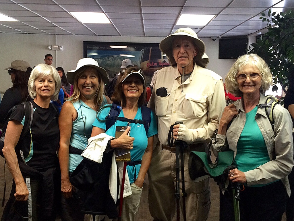
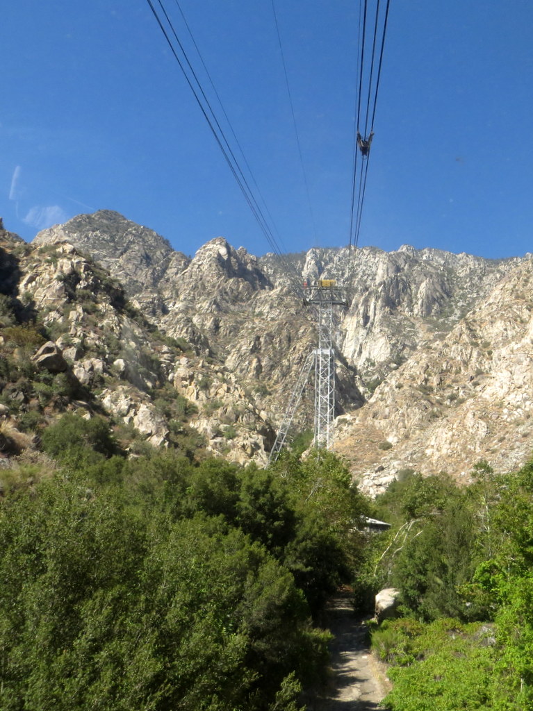
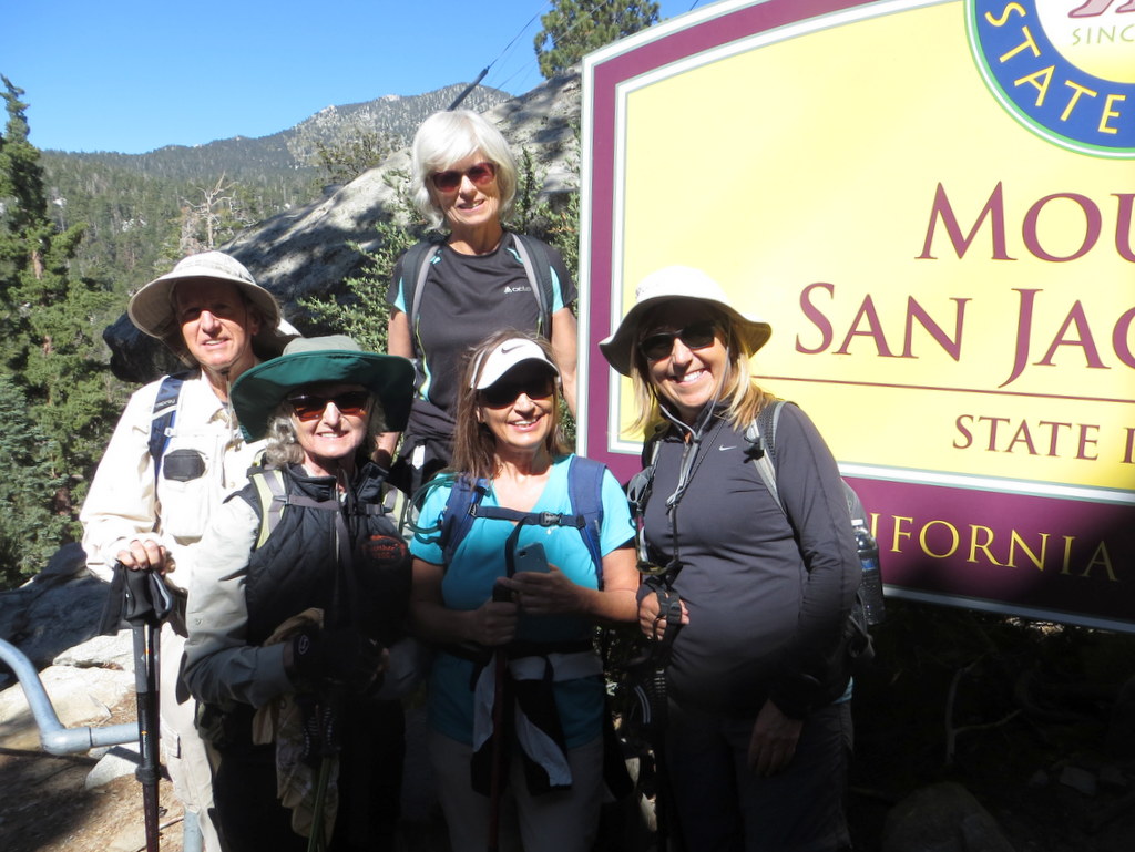
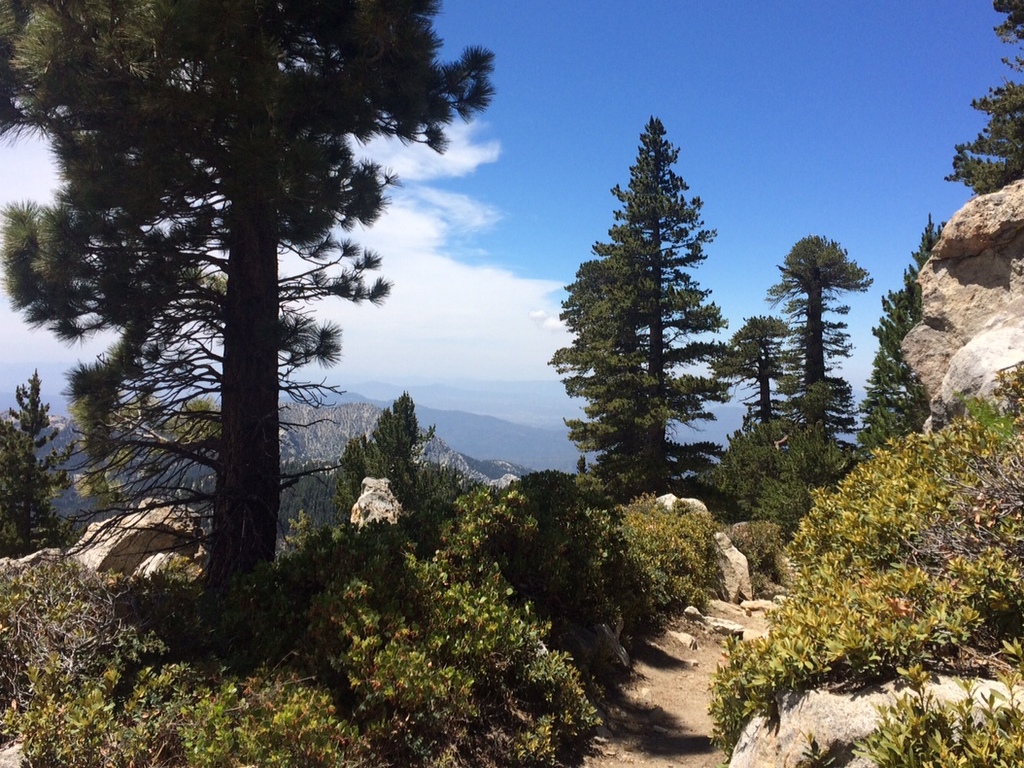
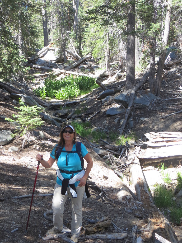
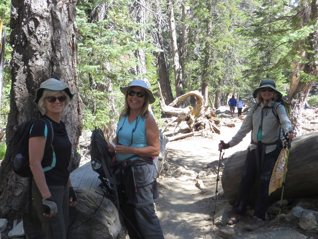
Five hikers arrived at the Palm Springs Aerial Tramway (with its rotating cabin providing a 360-degree view) around 8:45 a.m. on an unusually cool morning for a scenic 10-minute vertical lift from 2,643′ at the Valley Station to 8,516′ at the Mountain Station where the trail for our hike to the peak of Mt. San Jacinto (10,834′) began in the 14,000-acre San Jacinto Wilderness and State Park. We were greeted by a clear, pleasantly cool, pine-scented morning with a beautiful blue sky as we began our hike, pausing briefly at the nearby Long Valley Ranger Station to obtain a free day-hiking permit. The trail soon began rising through a lovely forest of conifers; the nearby streambed was dry. After hiking about 2.5 miles, we reached Round Valley, the location of one of only four campgrounds in the park. NOTE: A pipe near the trail junction provides a steady stream of water during the “wet season,” but it was dry today. We continued our hike, heading east along the trail as it climbed steadily (and steeply) to Wellman’s Divide where we took a short break and enjoyed somewhat murky views of the desert and the Santa Rosa Mountains to the east. Resuming our hike we headed west on the rocky trail as it climbed along the rim of a large bowl-shaped valley providing beautiful views to the north; we spotted the Tramway Mountain Station (where we had begun our hike) across the valley. Eventually we reached a switchback in the trail which allowed us to continue our climb, but now to the southeast. Soon we reached a trail junction with a sign proclaiming that a right turn would take us to the base of the summit in 0.3 mile. We soon reached a stone shelter built by the Civilian Conservation Corps in the 1930’s. From there several of us began scrambling carefully up large boulders to the actual mountain peak where there was a horde of “peak baggers,” took photos, rested, and enjoyed the panoramic views. After a brief stay, we regrouped and retraced our steps to the Mountain Tramway Terminal and descended to our vehicles, very tired but happy, having completed an 11.5-mile hike with ~2,600′ of elevation gain/loss.
July 4th – Mt. McCoy to the Reagan Library
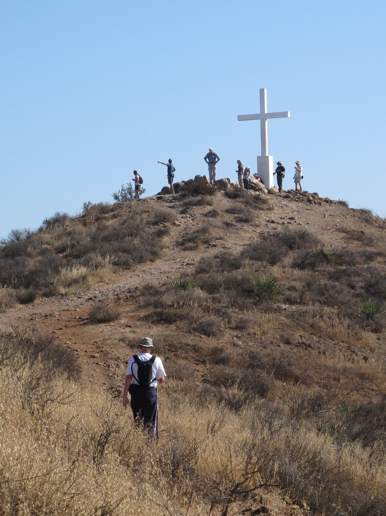
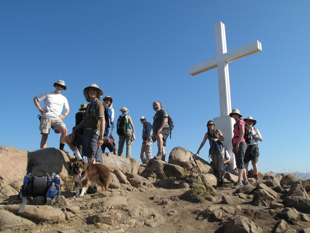
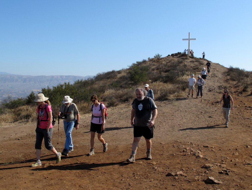
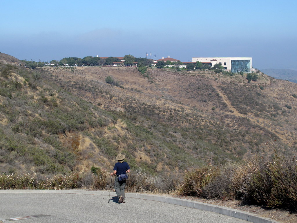
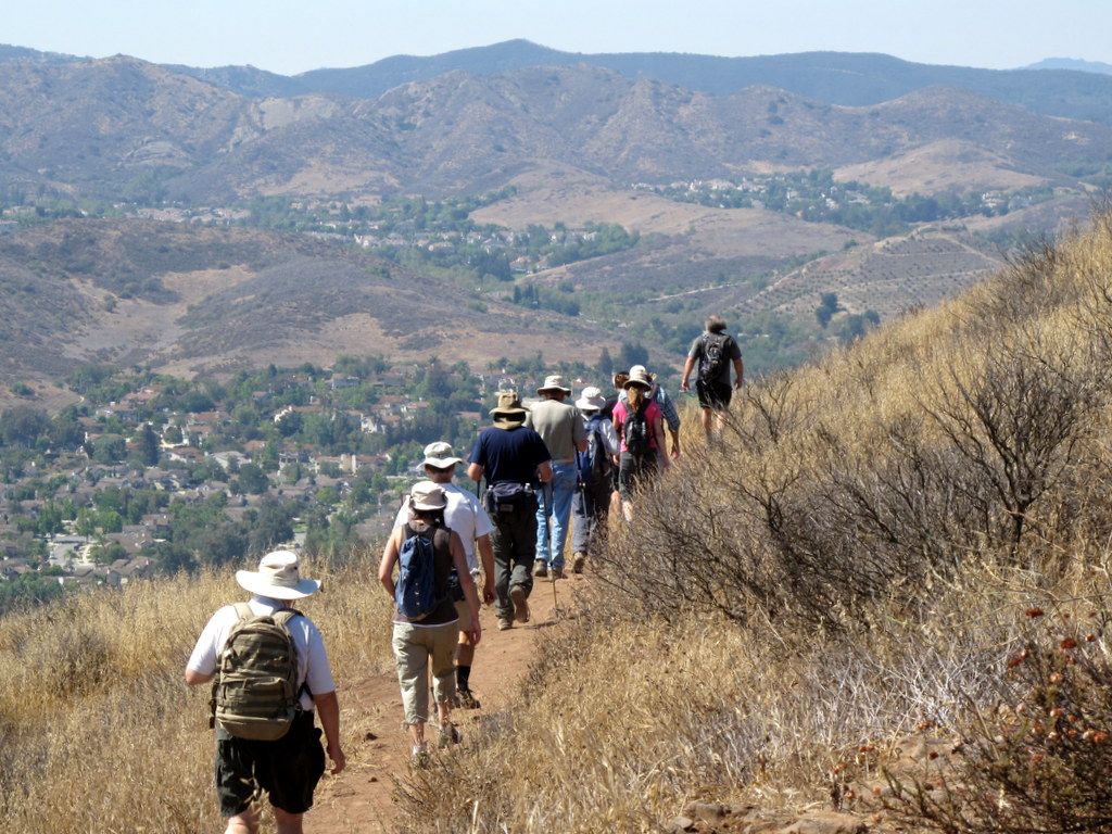
18 hikers met at the carpool point, near the intersection of Royal Avenue and Madera Road, on relatively cool morning. From there, we walked to the Mt. McCoy trailhead on Washburn Street, a few blocks to the west. The hike began along the trail heading south, but quickly began climbing gradually westward along the well-maintained trail, leading to the summit via a series of 27 switchbacks. As the trail rose up the mountainside, we were rewarded with excellent views of the western end of Simi Valley, including Sinaloa Lake, Wood Ranch, and the Bard Reservoir. The prominent white concrete cross at the peak, was erected in 1941. After a short break to enjoy the panoramic view, we hiked southwest to Presidential Drive and then hiked along it to the west side of the library where President Reagan was buried in 2004. The setting of the library is quite beautiful, but we didn’t stay long, because the Library was preparing for the 4th of July festivities. Eventually we returned the way we came completing a 6-mile hike with 900′ of elevation gain/loss, glad that we returned before the heat of the day.
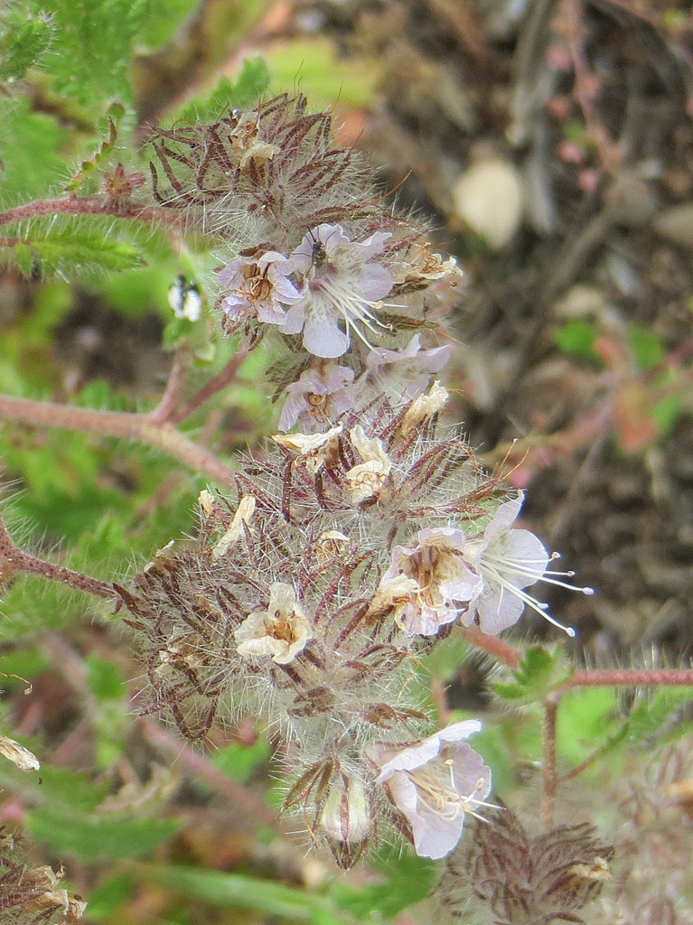
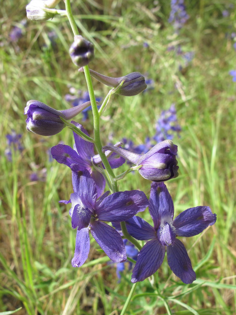
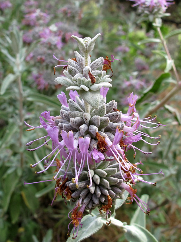
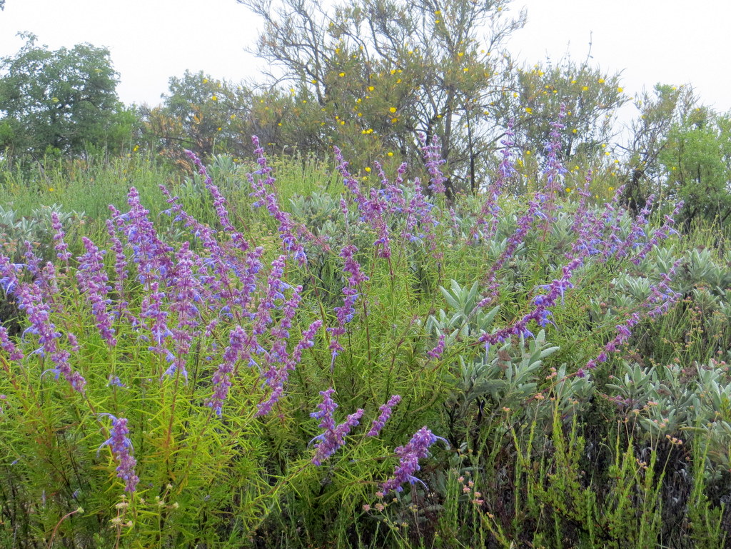
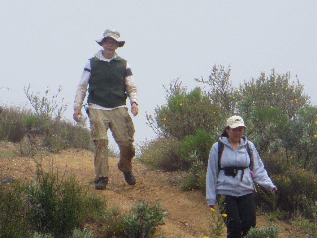
June 28th – San Gabriel Peak from Eaton Saddle on the Mt. Wilson Road
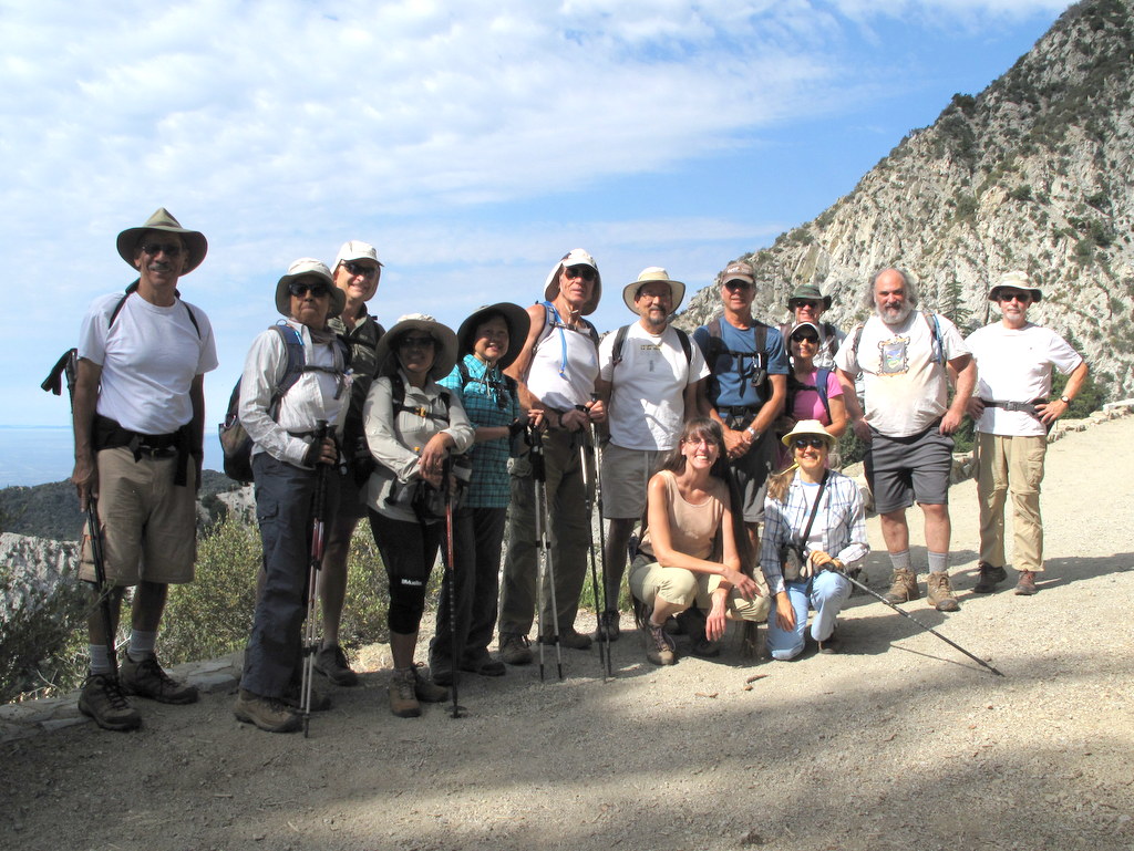
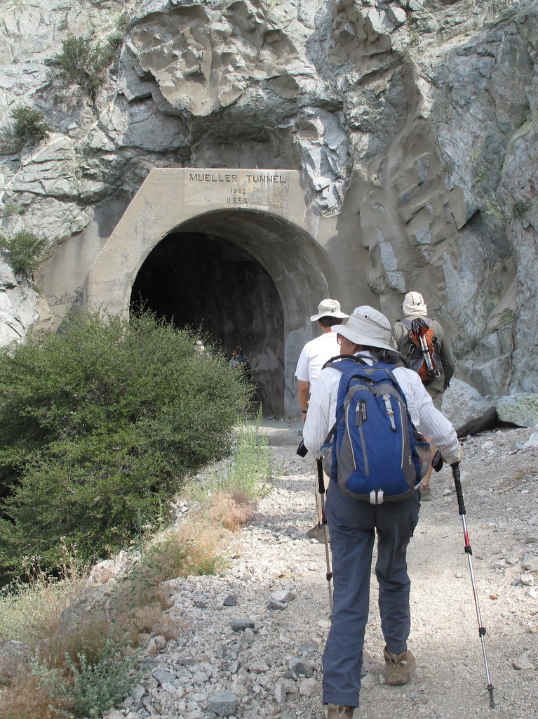
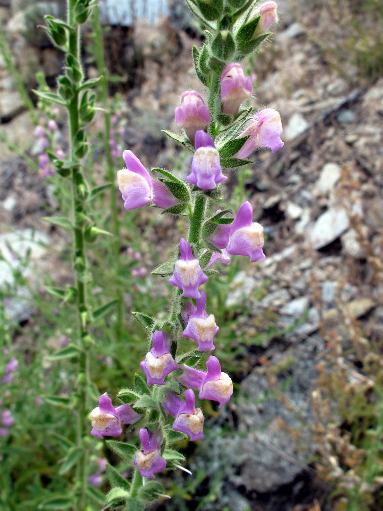
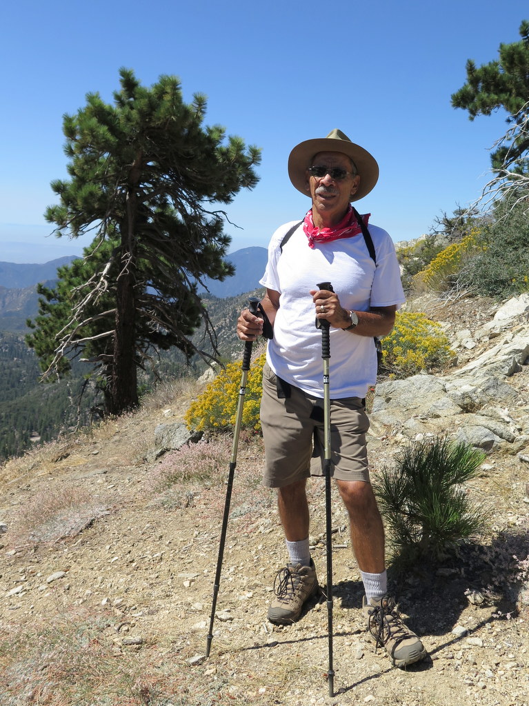
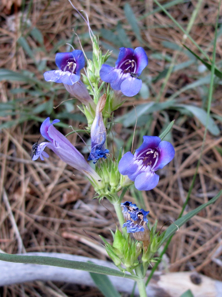
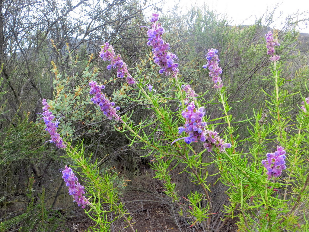
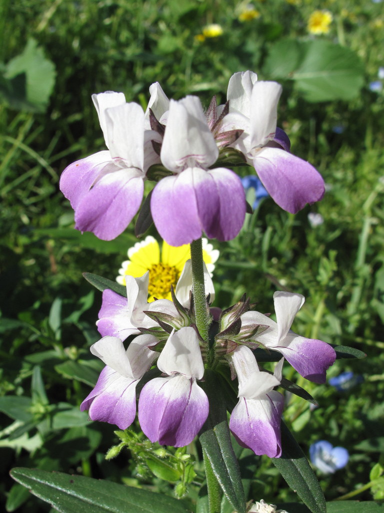
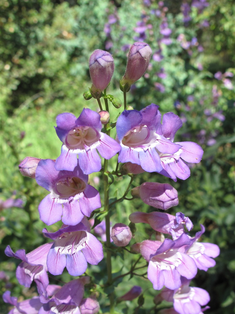
14 Trail Blazers carpooled to the Eaton Saddle trailhead (5,119′) on the Mt. Wilson Road. Somebody’s car said it was 81 degrees when we arrived, not far from the 82 degrees forecast high. We arrived just in time for a temperature inversion with plenty of humidity from the monsoonal moisture to the south. Later on in the hike, we enjoyed the gathering cloud cover, shielding us from the direct sun. Passing through the Meuller Tunnel, we first summited Mt. Lowe (5,603′) and enjoyed the expansive views. Retracing our steps, we continued on to San Gabriel Peak (6,161′) and then Mount Disappointment (5,960′), where we again enjoyed grand views. The saddle between these two prominent peaks was one of 17 Nike Missile Defense System locations in the Los Angeles area during the 1950’s. From Mt. Disappointment, we hiked back down to Mt. Wilson Road, via a steep, wooded single-track trail, where many of the lower tree branches were cut and stored along the way. During the hike, we were delighted with many species of wildflowers. There was a fine showing of Spanish Broom, Poodle Dog Bush, Rose Snapdragon, Showy Penstemon, Golden Yarrow, and others, requiring a look through our San Gabriel Mountain area flower books. All in all, it was a fine hike enjoyed by everyone.
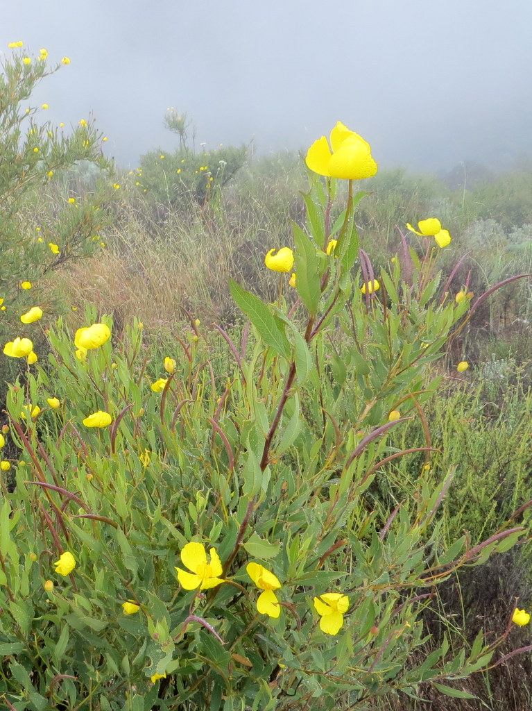
June 20th – The Hummingbird Trail – Rocky Peak Park


10 hikers met in the paved parking area on the east side of Kuehner Avenue just north of Hwy 118 in Simi Valley to hike up the Hummingbird Trail. It was already around 80 degrees Fahrenheit (with a forecast in the mid-90’s later in the day) as we began our eastward climb to the Rocky Peak Fire Road. The trail passed through (and on) a variety of imposing sandstone rock formations along the way including very large boulders and giant slabs of sandstone rock, many with small “caves.” There were sweeping views of eastern Simi Valley, the Santa Susana Mountains, and the Simi Hills and even a few blooming Plummer’s mariposa lilies despite the ongoing drought. We passed or were passed by a variety of other hikers and bicycle riders along the steadily ascending trail. Reaching the Rocky Peak Fire Road, we rested and enjoyed a much-appreciated cool breeze. We retraced our route and reached the trailhead (and our air-conditioned vehicles!) having completed a pleasant 4.65-mile hike with about 1,200′ of elevation gain/loss.
June 13th – Switzer Falls and Bear Canyon


Fifteen hikers (and two dogs) carpooled to the trailhead at the Switzer Picnic Area (10 miles from La Canada Flintridge along the Angeles Crest Highway) in the San Gabriel Mountains. It was a cool morning as we hiked along a pleasant heavily shaded trail (the remnants of an old asphalt road) one mile downstream along the Arroyo Seco to the remains of the Commodore Switzer Trail Camp which was a bustling weekend spot around 100 years ago. The Switzer Falls are a short distance further downstream, but the U.S. Forest Service warns the hiker not to continue downstream. Instead, the trail crossed to the west side of the stream and climbed the hillside to skirt the narrow gorge; parts of the hillside trail were fenced in to protect hikers from falling. Soon the trail dropped into the Arroyo Seco gorge downstream from Switzer Falls. After heading upstream and visiting the real Switzer Fall (not just the lower cascades), we followed the trail downstream to the point at which the creek in Bear Canyon flows into the Arroyo Seco and then began climbing steadily upstream in rugged Bear Canyon. We crossed the gurgling stream many times on our way to the Bear Canyon Trail Camp, our turnaround point, four miles from the trailhead. Although their size was greatly diminished by the ongoing drought, there were many pools, cascades, and small waterfalls along the way and tall big-cone spruce trees provided heavy shade; wildflowers (including Humboldt and Plummer’s mariposa lilies) and ferns made their presence known. The trail camp is situated in a very nice spot, enticing one to linger. After a lunch break we returned the way we had come and eventually reached the parking lot and returned to Simi Valley having hiked nearly 9.4 miles with about 1,700′ of elevation gain/loss.
June 6th – Hummingbird Trail Work Party & Cache In Trash Out Event – National Trails Day


18 Trail Blazers and local geocachers came to the combination work party, and Cache In Cache Out (CITO) event, held at Hummingbird Creek Trail this morning. Almost 500 pounds of trash was collected, removed and recycled. A dozen cans of paint were hauled up the dry waterfall, to cover the graffiti. As in past years, everything we needed was supplied by Alcoa Fastening Systems & Rings, all thanks to Mike Howard. 10 Girls scouts, and also 2 den-mothers, helped collect trash with is. Many thanks to all who attended! Much was accomplished and good fun was had by all.
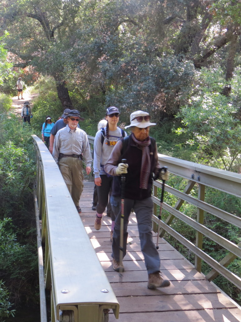
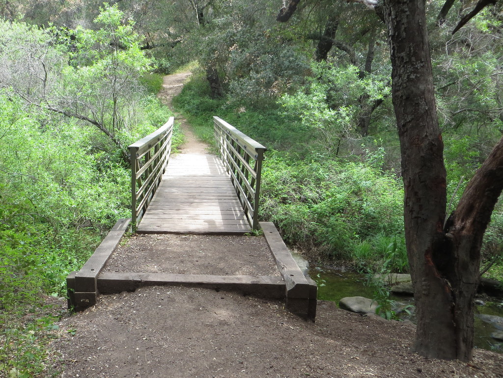
May 16th – Wildwood Park – Arroyo Conejo Creek, Lynnmere Trail Loop
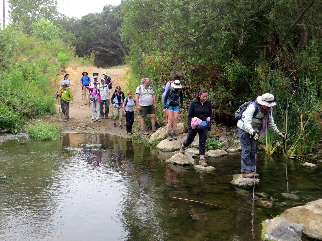
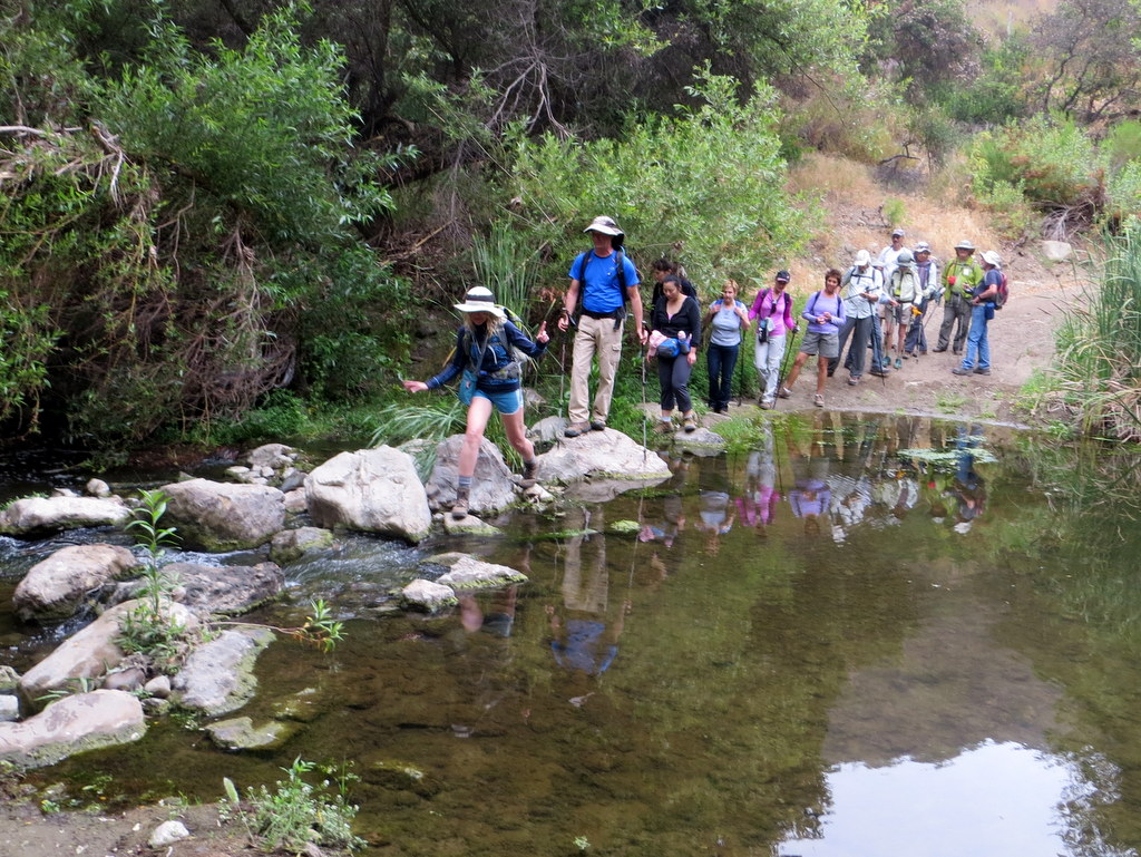


17 hikers arrived at 8:30 a.m. at the trailhead at the northwest end of Calle Yucca on the south side of Wildwood Park in Thousand Oaks on a still-cool morning. As the hike began we descended into the shady canyon through which the Arroyo Conejo Creek runs. The trail (an old dirt road) ran through a pleasant woodland of oak and walnut trees; we crossed the creek four times by carefully stepping on rocks in the stream (hiking poles are advised) before reaching the new (2005) Hill Canyon Wetlands, home of coots, mallards, herons, and pond turtles. Leaving the wetlands, we made our final “wet” stream crossing and then hiked along a narrow trail through some tall brush soon reaching an open grassland. We then hiked north to a very nice bridge and crossed over Wildwood Creek to Hill Canyon Road which we followed to a trail which skirts the modern-looking Hill Canyon Wastewater Treatment Plant. Continuing past the junction with the Lizard Rock Trail, we headed upstream through Wildwood Canyon where we spotted a camera-shy king snake. After stopping to enjoy Paradise Falls, the trail soon crossed Wildwood creek for the last time and we ascended along a fairly steep dirt road until it met the Lynnmere Trail. Taking the west fork, we followed the trail as it led us around the north side of the mountain and then climbed southward to the top of the mountain, affording us with a spectacular 360-degree view of the surrounding mountains and a refreshing ocean breeze (the day had become hot). We then descended back to the original trailhead and headed home having completed an enjoyable 8.3-mile loop hike with 1,020′ of elevation gain/loss.
May 16th – Upper Zuma Canyon and Zuma Ridge to Buzzards Roost

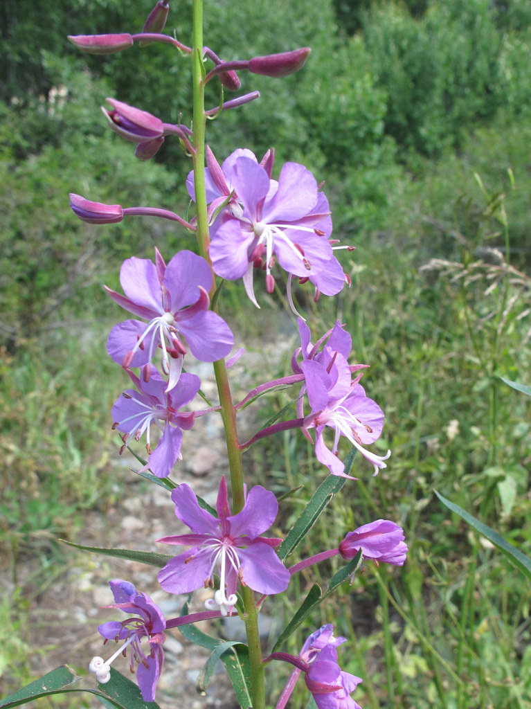
14 hikers met at the carpool point near the intersection of Royal Avenue and Madera Road on a nice morning and then traveled to the Upper Zuma Canyon trailhead on Kanan Dume Road just before Tunnel #1. The hike began by heading west along the Santa Monica Mountains Backbone Trail (BBT) as it descended into Upper Zuma Canyon. After crossing Newton Creek, the well-shaded trail rose and then fell before reaching a very nice bridge crossing Zuma Creek. We continued following the BBT, enjoying lovely mountain views and a plethora of colorful blooming plants (including fireweed, sticky monkey flower, golden yarrow, caterpillar phacelia, buckwheat, poppies, cliff asters, thistle, black mustard, deerweed, scotch broom, poison oak, and one wild rose. Upon reaching a trail junction 2.5 miles from the trailhead, we headed southward steadily uphill on the Zuma Ridge Trail (actually a well-graded dirt road) toward Buzzard’s Roost where we climbed to a viewpoint just to the west. We enjoyed spectacular views of the surrounding mountains and the ocean (including Zuma Beach) before returning to the trailhead. We headed home having completed a pleasant 8.5-mile hike with 1,771′ of elevation gain/loss.
May 9th – East Canyon to Mission Point

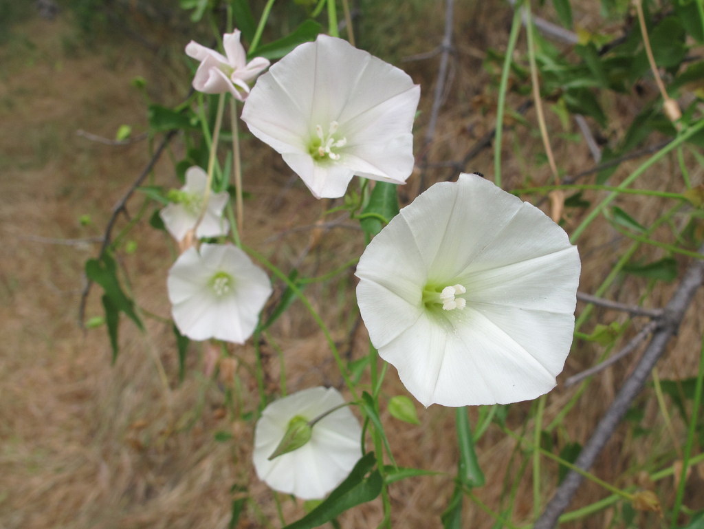


11 hikers met in Simi Valley and then carpooled to the “East Canyon, Rice Canyon, and Michael D. Antonovich Open Space” section of the 4,000-acre Santa Clarita Woodlands Park via I5 and “The Old Road” in Santa Clarita. Two additional hikers joined us at the trailhead and we began hiking southward along the non-maintained and somewhat-eroded East Canyon Motorway as it followed the small creek in the canyon bottom. The route was lined with bay laurel, black walnut, cottonwood, sycamore, and oak trees. Soon the dirt road began rising more steeply along the western side of a wooded ridge decorated with a colorful variety of wildflowers including clarkia, cliff asters, Chinese houses, golden yarrow, mariposa lilies, and others. We enjoyed views of the steep slopes to the west and relics of the bigcone Douglas-fir trees that once covered the mountain. An intermittent breeze cooled us as the road led us upward to a junction with Bridge Road (and the Oat Mountain Motorway) which is blocked by a SoCal Gas fence and gate. Having reached the highest point in our hike, we headed southeast along the very pleasant Corral Sunshine Motorway to Mission Point which provides a panoramic view of the San Fernando Valley and beyond. After resting, we retraced our route to the trailhead and returned home having completed a 9-mile hike with about 1,700′ of elevation gain/loss on a great day for mountain hiking.
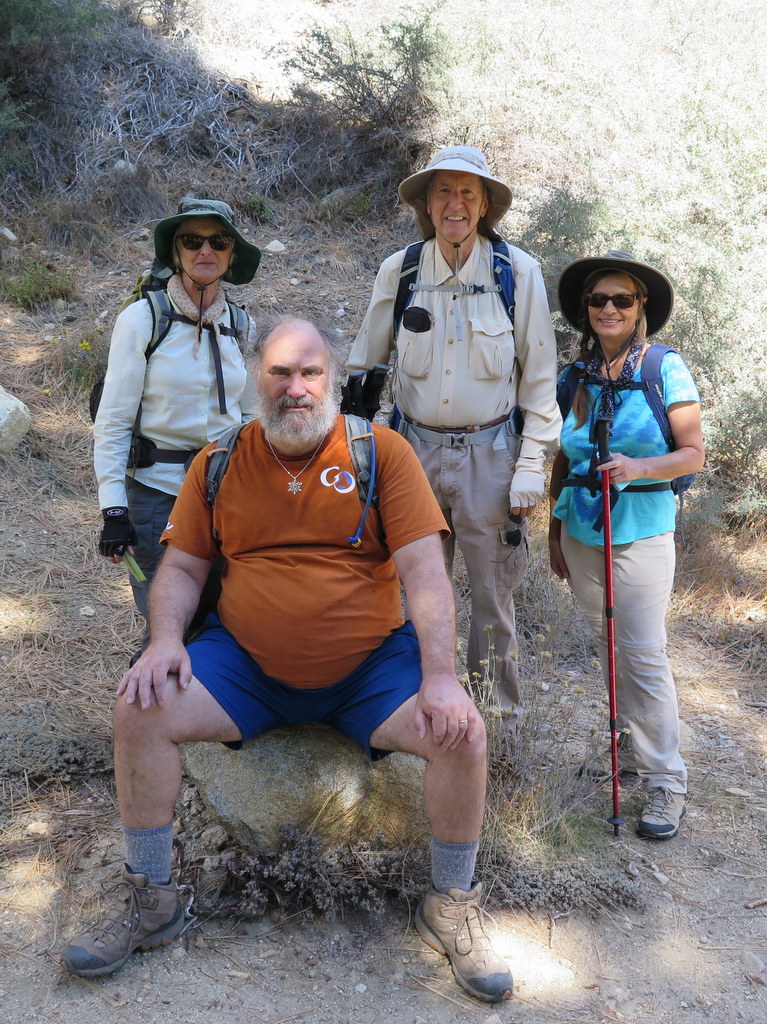
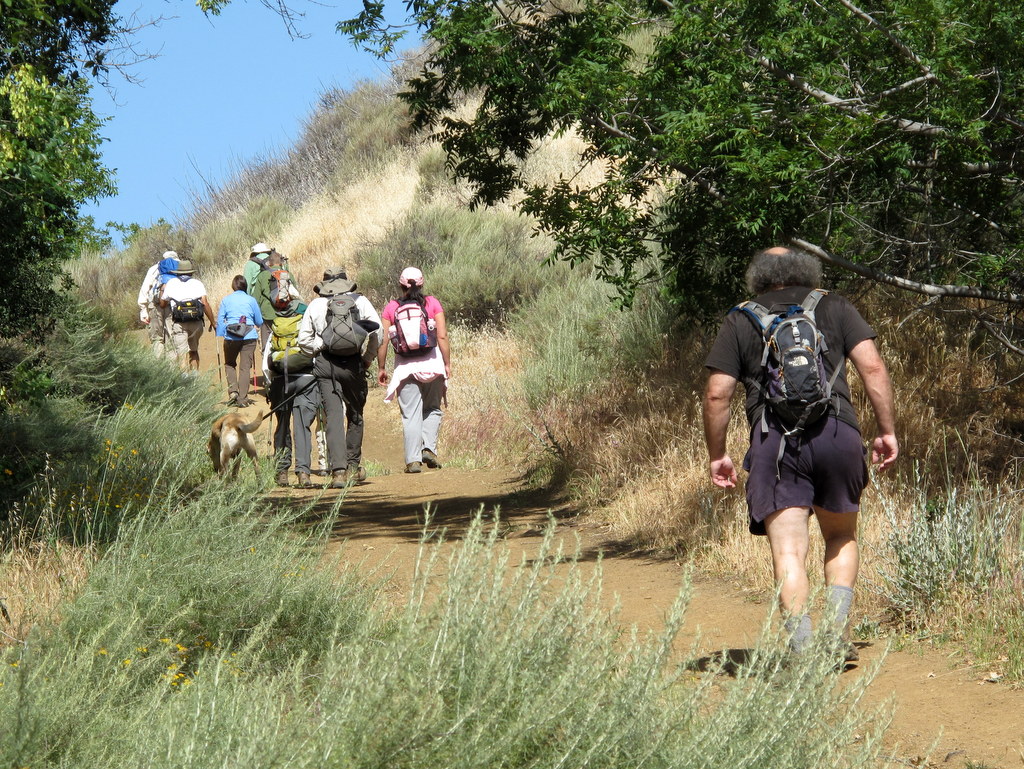
May 2nd – Santa Paula Canyon
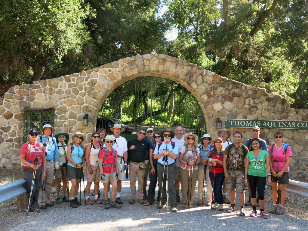

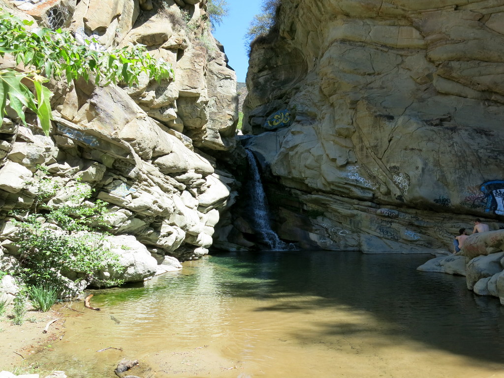

On an unseasonably warm spring day 22 hikers began an out-and-back hike in Santa Paula Canyon from the trailhead on Highway 150 a few miles northwest of Santa Paula, a quaint town located in the agricultural Santa Clara River Valley and referred to as the “Citrus Capital of the World” for its orange, lemon, and avocado groves. The initial portion of the hike involved skirting the campus of Thomas Aquinas College, the Ferndale Ranch, avocado groves, and an oil field with mountains looming in the distance. The vegetation in the canyon has made a striking comeback since the winter floods of 2005 washed out much of the old road/trail along Santa Paula Creek. We followed a heavily shaded single-track trail along the pleasantly flowing creek until we reached the point where the old dirt road (narrowed by erosion and plant growth) rose steadily up the east side of the canyon to the Big Cone Campground which has several nice campsites nestled in a grove of big cone Douglas fir trees. Soon after passing the campground we descended into a ravine created by major erosion and climbed up a fairly steep slope on the opposite side. The trail then continued a short distance before it descended again, this time to a tributary of Santa Paula Creek. From there we followed the main trail a short distance northward to a junction with a steep use trail that we carefully descended to a picturesque waterfall and punchbowl where we rested and enjoyed the scenery. After we climbed back up the use trail, we followed the main trail from which we were soon able to look down at the large pool below the waterfall and into the narrow gorge through which the creek flows before it becomes a waterfall. We then explored the nearby slick-rock slide area above the waterfall which was dry due to ongoing drought conditions. The main trail – now named the Last Chance Trail – continues northward eventually connecting to other trails providing access to the wilderness areas to the north. However, on this day we went no further. We returned to the trailhead the way we came, completing a pleasant 8-mile hike with around 1,350′ of elevation gain/loss.
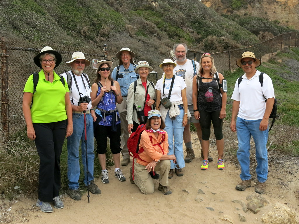
April 25th – Romero Canyon Lollipop Loop
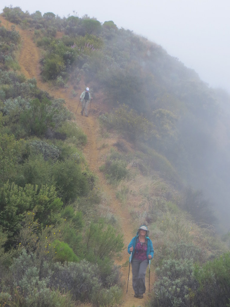
13 hikers gathered in Simi Valley and then carpooled northwest to the trailhead in lovely Montecito via Hwy 23, Hwy 101, Sheffield Drive, Romero Canyon Road, and Bella Vista Drive. After securing parking, donning our hiking gear, and taking a group photo, the hike began along the east side of well-shaded Romero Creek on a cool overcast foggy morning. As the trail ascended through verdant forested Romero Canyon, the creek cascaded soothingly over boulders on its way to the ocean and there were views of a couple of small waterfalls. The trail climbed steadily and fairly steeply reaching unpaved Old Romero Canyon Road at the two-mile point as a light rain began falling. After a much-needed rest break, we crossed the road and continued up the mountain via a trail that provided limited views of Romero Canyon due to the fog. The trail eventually reached the ridgeline and led westward to Romero Saddle at the east end of paved Camino Cielo (highway in the sky). After taking a lunch break at the colorful graffiti-adorned water tank which shielded us from a chilly wind we headed west on Camino Cielo which was adorned with a surprising display of blooming plants including many varieties of wildflowers. As we hiked the sun came out and we enjoyed views of the Santa Ynez River valley and the mountains of the Dick Smith Wilderness and the San Rafael Wilderness to the north/northwest. When we reached the junction with the upper end of Old Romero Canyon Road, we turned left (south) and continued downhill on the unpaved and mostly single-track road. We then retraced our route downhill along Romero Creek, eventually reaching our vehicles having completed a pleasant 10-mile hike with about 2,500′ of elevation gain/loss.
April 12th – Towsley Canyon Loop
10 hikers (plus one dog) met at the “Ed Davis Park at Towsley Canyon” section of the 4,000-acre Santa Clarita Woodlands Park on a pleasant spring morning. We began hiking along a dirt road toward the Sonia Thompson Nature Center, crossing Towsley Creek on a concrete bridge. Soon we began a counterclockwise hike on the Towsley View Loop Trail. After passing through The Narrows section of Towsley Gorge, the trail began rising via switchbacks along the shaded eastern slope of the canyon. Many other hikers and runners were also enjoying the beautiful day. The verdant north-facing slopes of the Santa Susana Mountains rose steeply to the south. The single-track trail passed through sage scrub, stands of California walnut, bay laurel, and scattered oak trees as we made our way to the 2,450′ high point on the trail from which much of the Santa Clarita Valley could be seen. The hillsides were adorned by many blooming wildflowers which begged to be photographed. The trail then began dropping into shady Wiley Canyon which we followed downstream to a junction with the Canyon View Loop Trail which rose along the northern flank of the mountain before descending to the Sonia Thompson Nature Center. After resting in the shaded grassy area near the nature center, we followed the paved road back to our vehicles, having completed a pleasant 6.9-mile hike with 1,423′ of elevation gain/loss.
April 4th – Descanso Gardens
15 hikers carpooled via I-210 to 150-acre Descanso Gardens in La Canada Flintridge on a nice spring morning. After paying the $9.00 ($6.00 for seniors) entrance fee the group headed for the new California Natives Garden (8 acres of native plants), passing through the beautiful Rose Garden and a lake on the way. Many blooming native plants provided a colorful palette along the trail and on the hillsides. We spotted Canada geese, mallard ducks, coots, and turtles in a lake and several smaller ponds. Continuing our exploration of the grounds we visited the Bird Observation structure, spent some more time in the Rose Garden and passed through a large oak forest with its inviting shaded pathways. Returning to the Center Circle (near the entrance to the Gardens) we headed for the Japanese Garden with its teahouse, bridges, blooming plants, and winding walkways. Next we headed up to the Boddy House, originally the 12,000 square foot home of Manchester Boddy, the founder of Descanso Gardens; the house is now a museum and an interpretive center. After exploring the Boddy House we headed for the Lilac Garden and then returned to the Center Circle for a quick lunch outside the Descanso Cafe. We then returned to Simi Valley having spent several hours in a truly beautiful environment and having walked/hiked 4.2 miles with 351′ of elevation gain/loss.
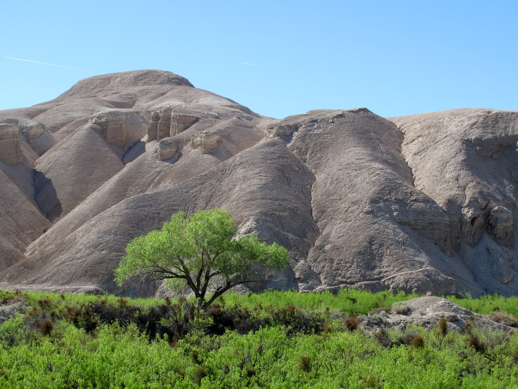
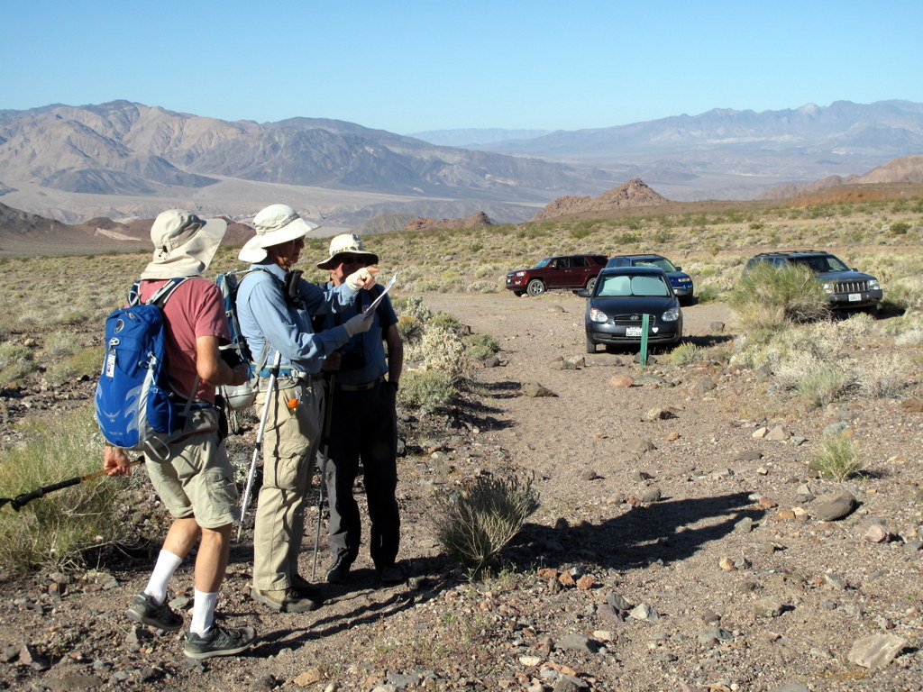
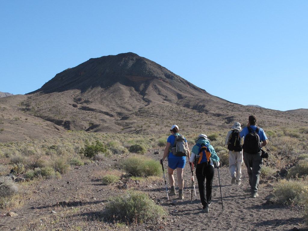
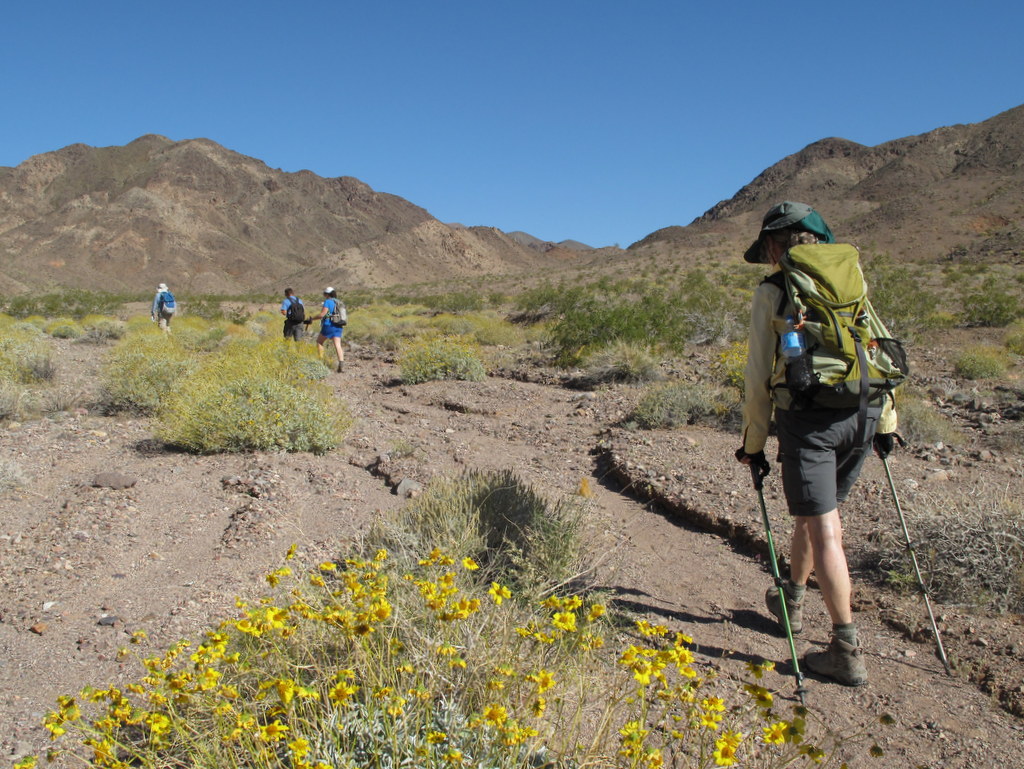
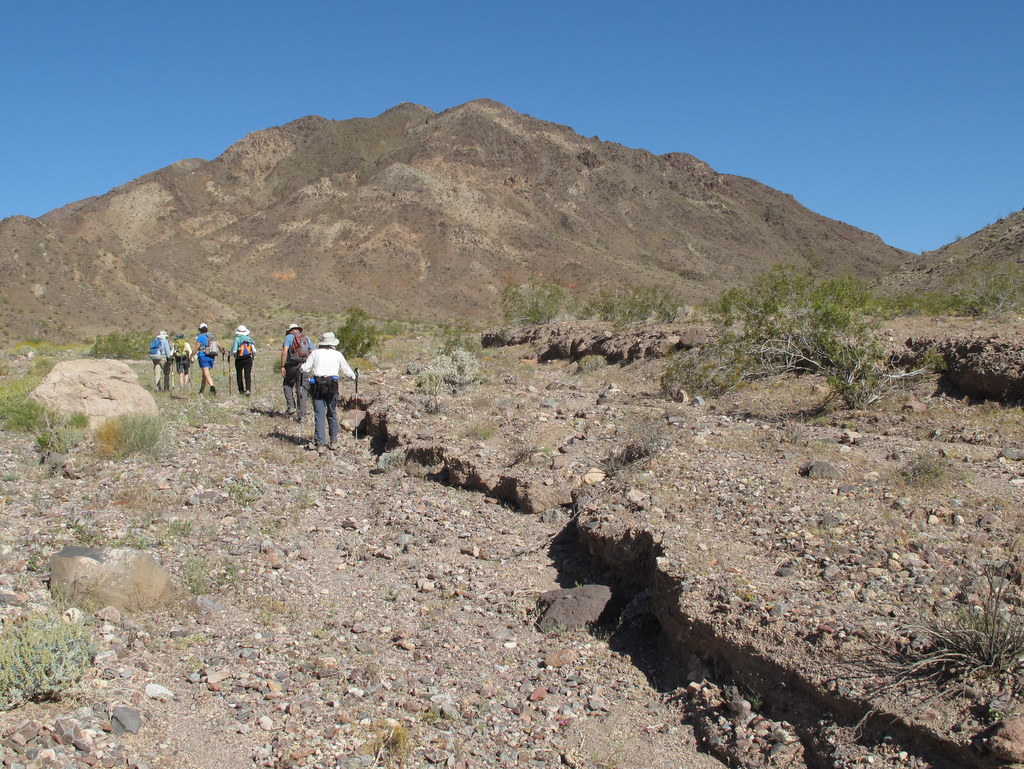
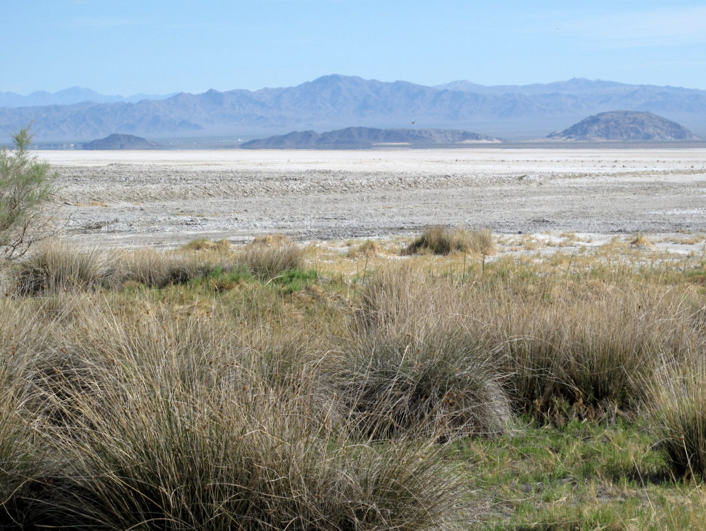
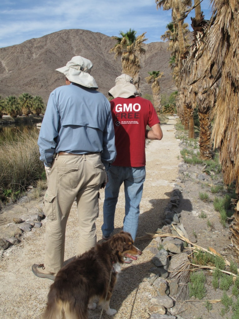
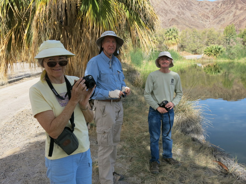
Wednesday, March 25th – Southern Death Valley: Dublin Gulch
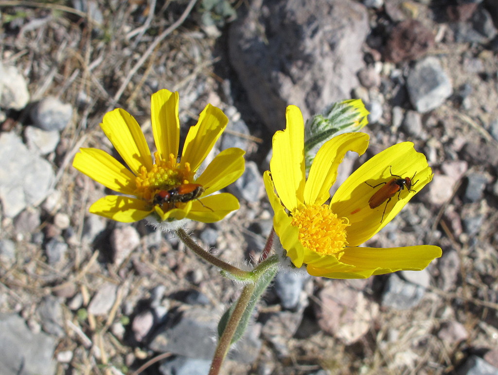
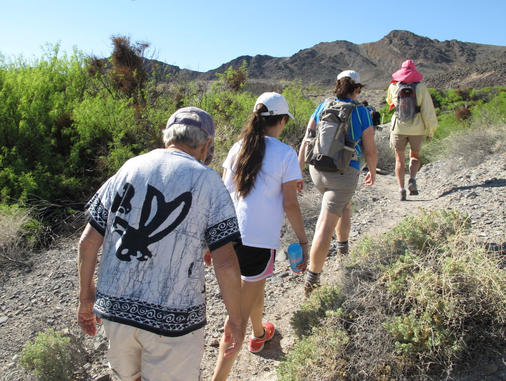
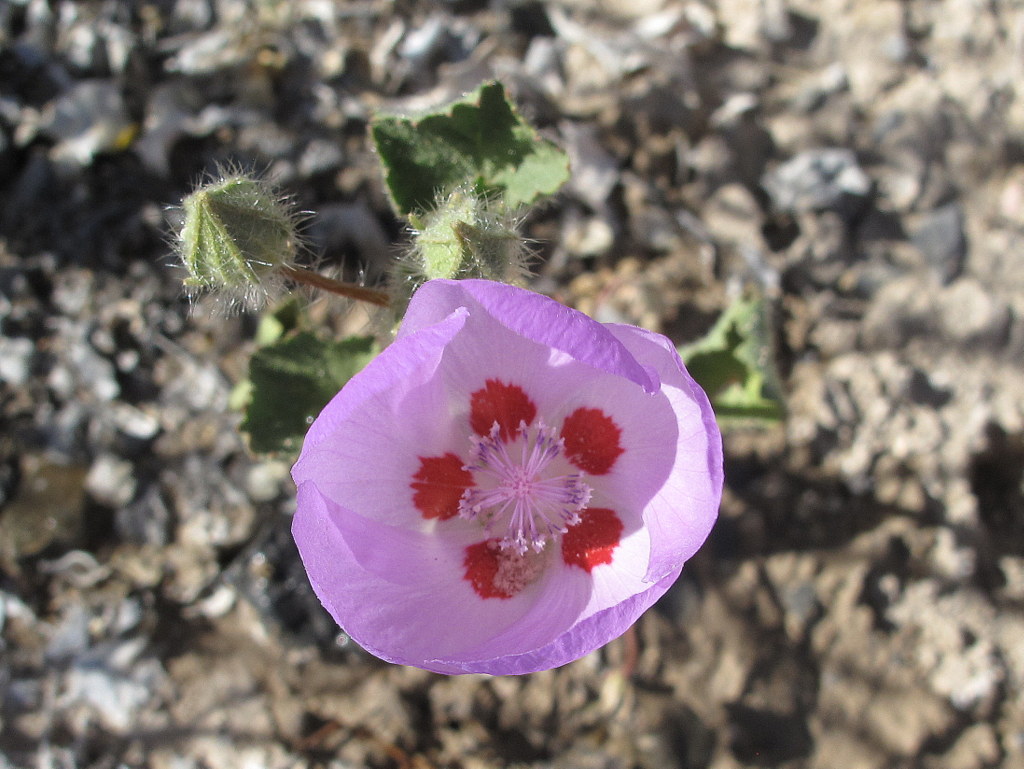
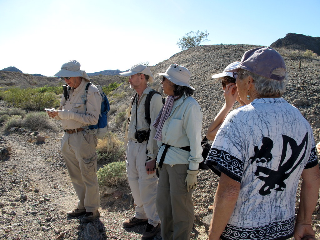
13 Rancho Simi Trailblazers gathered at the Shoshone RV Park/Campground (1,584′) along CA Hwy 127 just south of Death Valley National Park (DVNP) for several days of camping, hiking, and sightseeing in a starkly scenic setting that most visitors simply drive through on their way to DVNP. After setting up camp on the green grass of the tent-camping area of the RV Park we began our desert adventure in the oasis-dotted Amargosa River Natural Area by hiking in the Shoshone Hills a short walking distance southwest of the campground. A counterclockwise loop trail lined with a variety of small wildflowers (including the beautiful desert five-spot) and blooming cacti led us into the nearby desert foothills to the west as it rose about 300′ with views of the surrounding mountains. After turning eastward the trail descended through Dublin Gulch past interesting historical sites such as the Dublin Caves, the clay mine area, and the Shoshone Cemetery. After completing the loop we walked north along Hwy 127 to the campground having completed a 3.7-mile hike with 300′ of elevation gain/loss. NOTE: The Shoshone RV Park/Campground has very good facilities for tent campers including a grassy area (with several large trees) for pitching tents, free showers, a swimming pool, a library building with a refrigerator and microwave oven, laundry facilities, and potable water; nearby there are a general store, a restaurant, and a gas station.
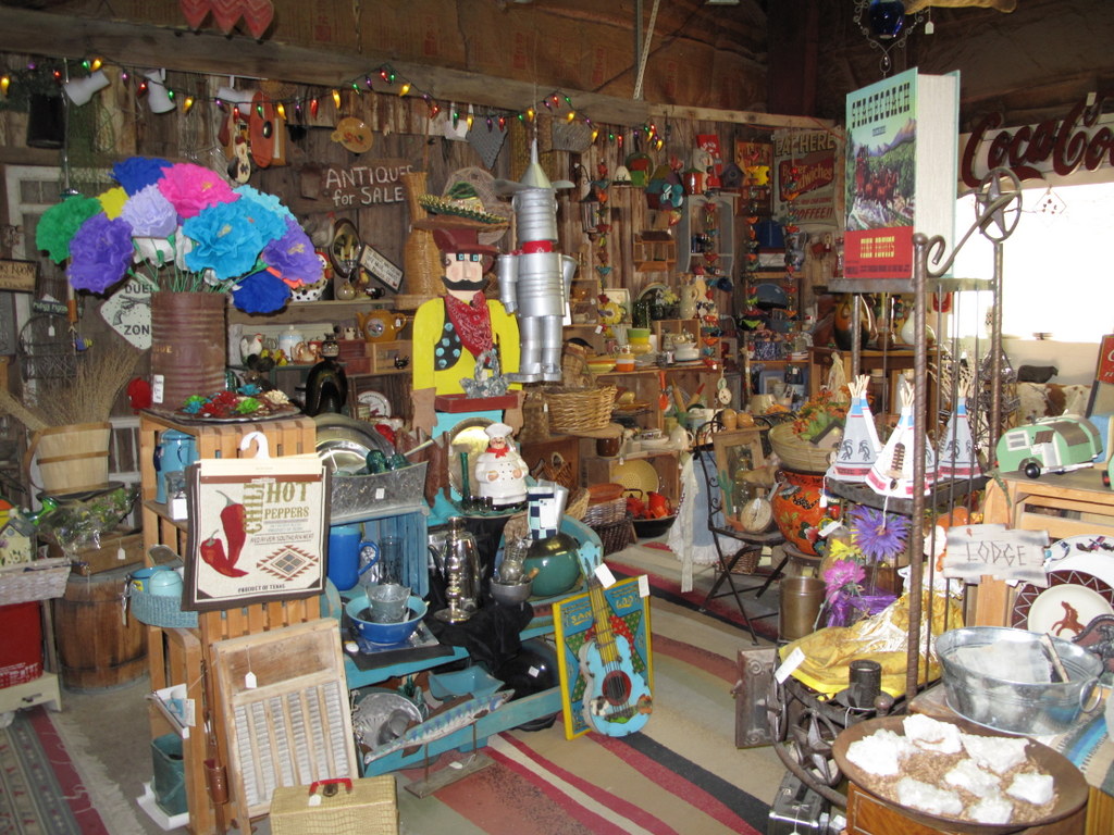
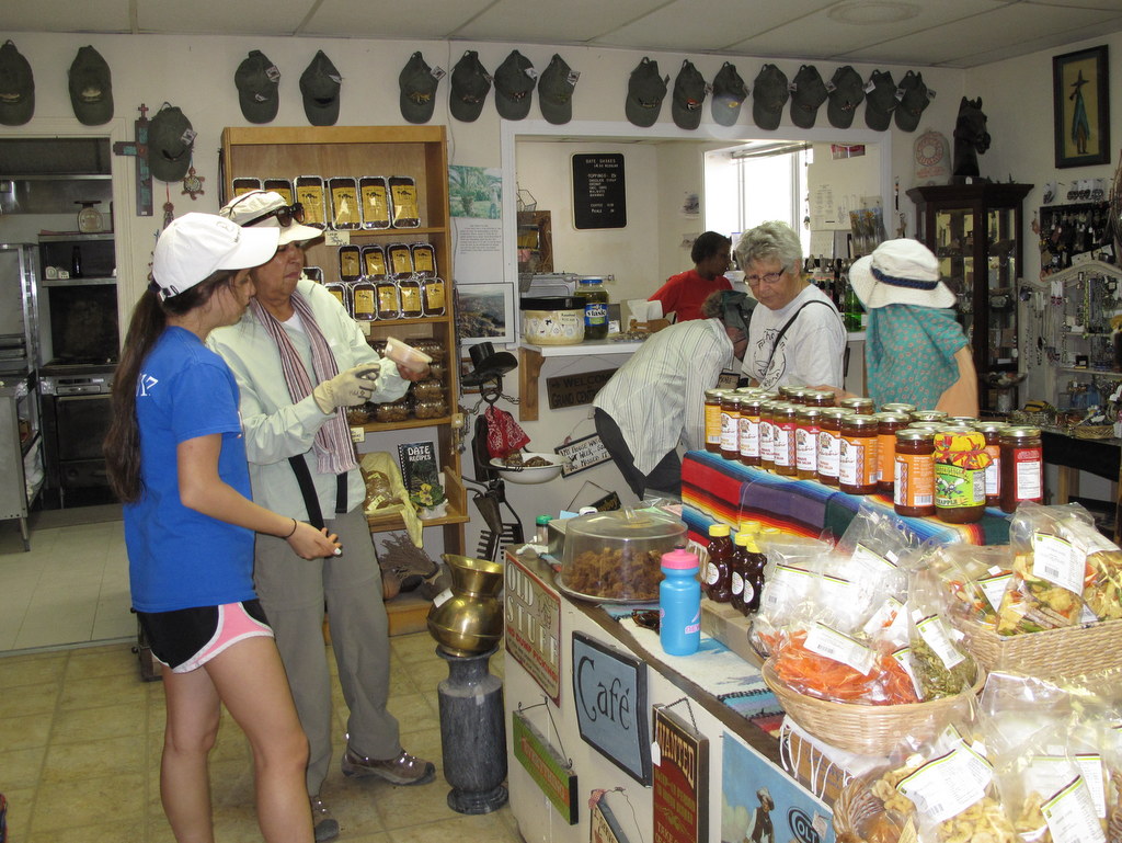
Thursday, March 26th – Southern Death Valley: Tecopa Peak and China Ranch
After breakfast we carpooled over to Tecopa Hot Springs (1,400′) where we hiked up Tecopa Peak (1719′) from the parking lot near Pastels Bistro. There is a small cross atop the peak and there are good views of the surrounding desert and mountains. After this morning warm-up, we drove over to China Ranch (1,233′) via paved roads and finally a curving dirt road that descended through a slot canyon to a wide “hidden” canyon. The ranch is actually a small date palm farm that includes a gift shop open to the public. The area is a lush oasis of greenery along the Amargosa River in the forbidding Mojave Desert; there are towering cottonwoods, willows, and spectacular views of nearby mountains. The stream contains very small pupfish and the Old Spanish Trail, the historic Tonopah & Tidewater railroad bed, and abandoned mines are nearby. After exploring the ranch itself, we hiked downstream along the Amargosa River and its riparian environment to a surprising waterfall and then across the canyon and a short distance into a slot canyon (until we were blocked by a rockfall in the canyon). After hiking back to the gift shop we sampled the dates and date shakes and then returned to the Shoshone RV Park/Campground having completed a 5.5-mile hike with 350′ of elevation gain/loss.
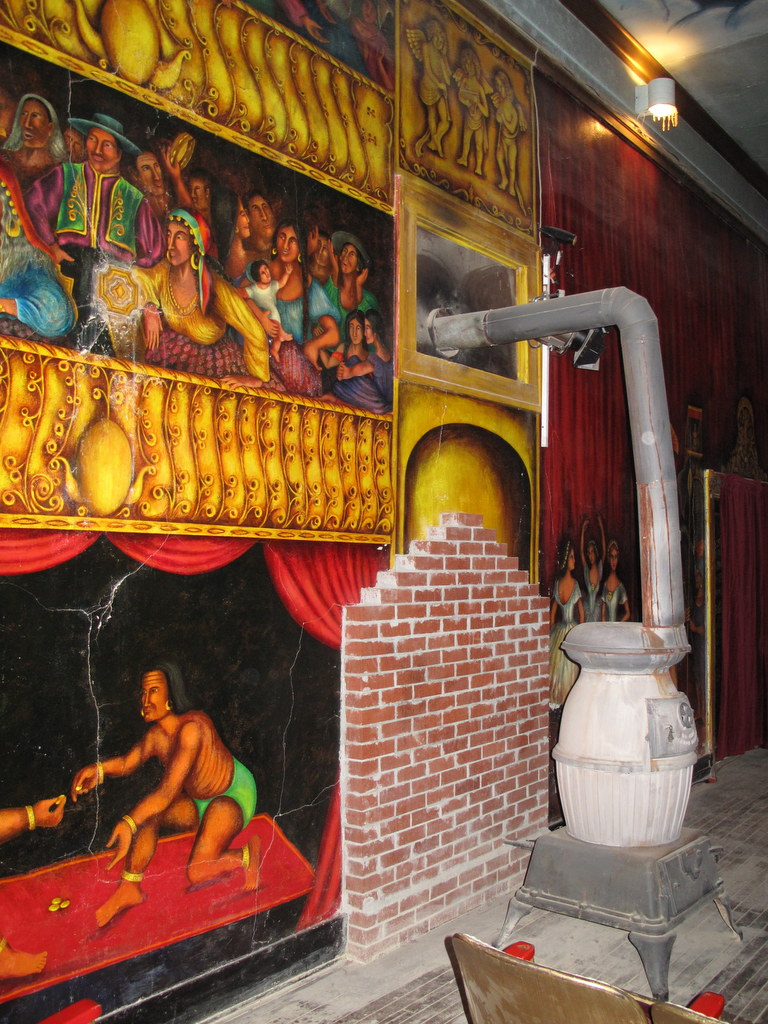
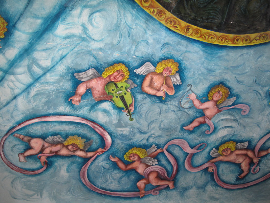
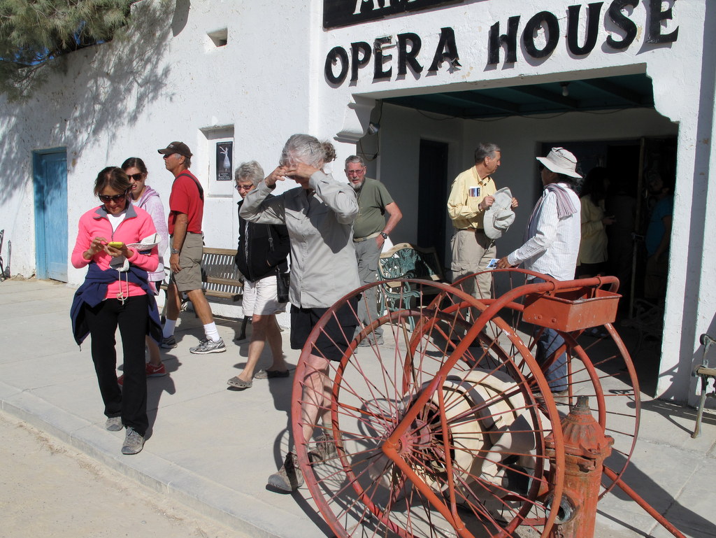
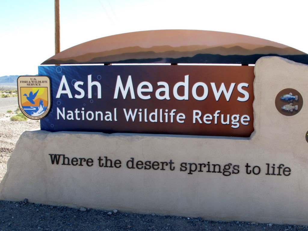
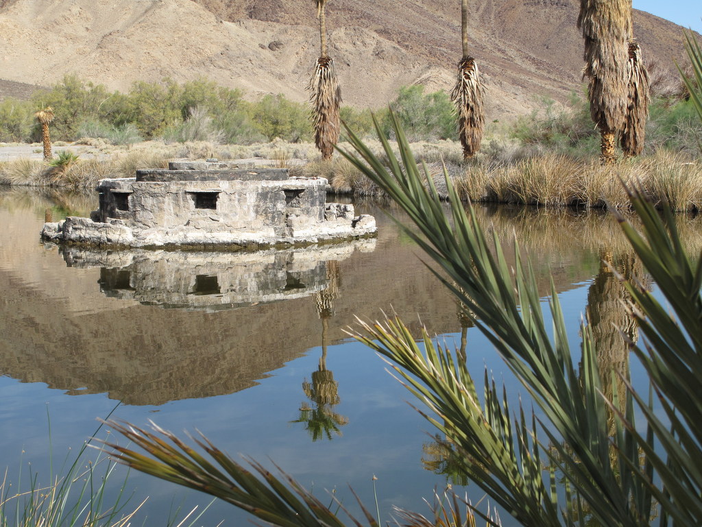
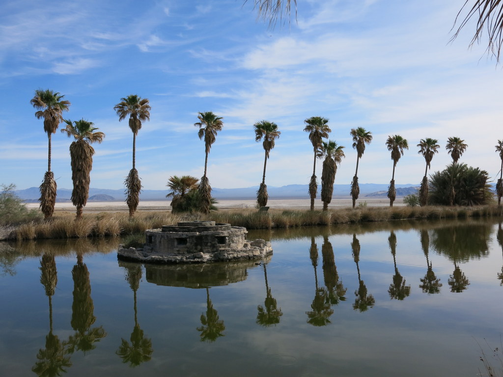
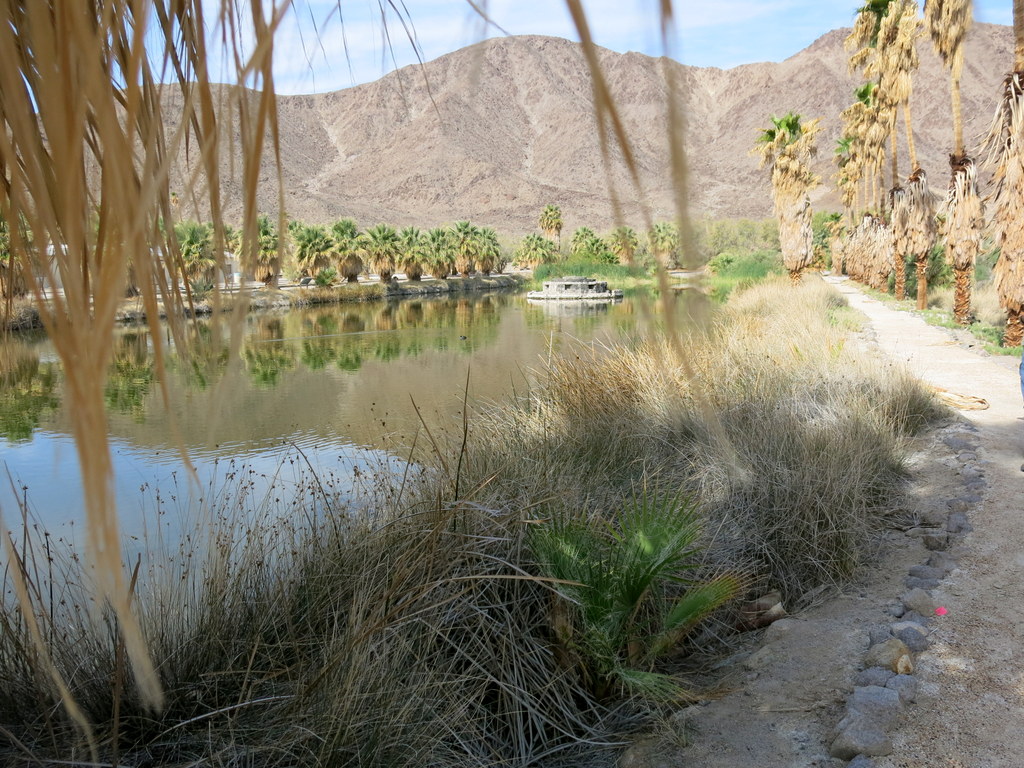
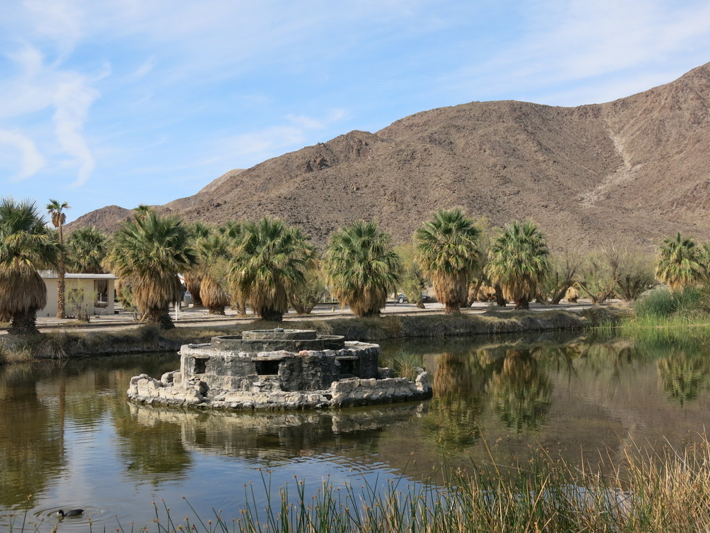
Friday, March 27th – Southern Death Valley: Amargosa Opera House Tour, Ash Meadows National Wildlife Preserve, Pastel’s Bistro
We carpooled north along Hiway 27 to Death Valley Junction where we had a 9:00 a.m. appointment for a guided tour of the Amargosa Opera House (and hotel). We learned that Marta Becket (the owner) staged dance and mime shows from 1968 until her last show in February, 2012 [she is still alive but is reportedly “in failing health”]. Ms Becket was a “jill of all trades,” painting murals on the walls and ceiling of the opera house, creating a different performance each season, making the props, dresses, and costumes, writing the music, and performing ballet and pantomime. Up until the 60’s she had been on Broadway, Radio City, and Carnegie Hall. NOTE: Jenna Rita McClintock is performing a tribute to Marta three nights a week at the opera house. Leaving Death Valley Junction we continued north on Hwy 127 into Nevada where we explored Ash Meadows National Wildlife Refuge (2,200′) where surface and ground water are provided by the Amargosa River and springs fed by water percolating from the Spring Mountains to the northeast. We visited the Visitor Center and Crystal Spring Boardwalk, the Point of Rocks Boardwalk, Devils Hole, the Crystal Reservoir, and the Longstreet Spring Boardwalk in this 22,000-acre refuge which protects spring-fed wetlands, dunes, and uplands habitat which are home to at least 24 plant and animal species endemic to southern Nevada; it also serves as a resting point for migrating birds. This night most of our group had dinner at Pastels Bistro in Tecopa Hot Springs. The restaurant is a gem in the desert; the food and its presentation are outstanding (the chef worked for many years as a chef in a Las Vegas strip hotel). We enjoyed a great evening and after dinner some of us were treated to views of Jupiter and the Earth’s moon via a telescope with great clarity provided by a local resident across the highway from the restaurant. We returned to the campground having hiked about two miles with 150′ of elevation gain/loss.
Saturday, March 28th – Southern Death Valley: Virgin Springs
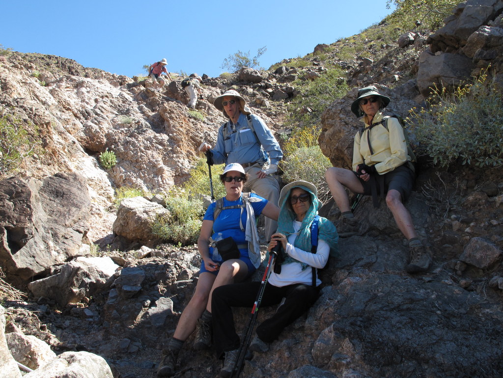
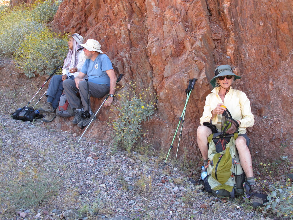
After breakfast we carpooled westward on Hwy 178 to Jubilee Pass and then drove up a one-mile dirt/gravel road to the signed Virgin Spring Canyon trailhead. After referring to a hike description found on the Internet, we headed cross-country up into the canyon to the north/northwest over ground that was carpeted with many varieties of small wildflowers. After a while as the day grew hotter, deciding not to continue the search for the reportedly dry Virgin Spring, we followed an interesting narrow side canyon up to a dry waterfall where we turned around. After returning to our vehicles and resting and rehydrating, we decided to hike along a “trail” and then cross-country northeast to a ridge which provided views of the area; there were lots of wildflowers along the way. Bowing to the heat we returned to the campground having completed a 5.2 miles 2-part hike with 1,008′ of elevation gain/loss.
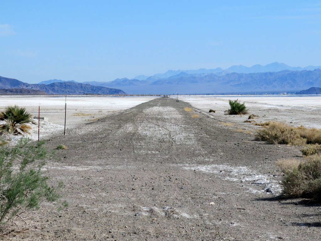
Sunday, March 29th – Zzyzx/Soda Springs
We had an even-better-than-expected time in the Amargosa River Natural Area. The weather was warm (but hot the last two afternoons), the scenery was often surprising and even awe-inspiring, and the camaraderie was enjoyable.
NOTE: Several of the participants visited Zzyzx, CA (formerly Camp Soda and Soda Springs) in the Mojave National Preserve on the way home. It’s located a few miles west of the junction of I-15 and Hwy 127 via a five-mile access road (which was in good condition). We strolled around the now-defunct Zzyzx Mineral Springs and Health Spa which is now the site of the Desert Studies Center and Lake Tuendae (a refuge habitat of the Mohave tui chub). California State University manages the land in and around Zzyzx. It was worth the visit.
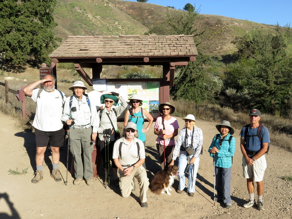
March 14th – Joughin Ranch, Deerlake Highlands, Devil Canyon Loop
12 hikers met in the dirt parking lot at the Michael D. Antonovich Regional Park at Joughin Ranch near the upper end of the paved Browns Canyon Road north of Chatsworth on a day expected to be a record-breaking scorcher. Our Oat Mountain hiking route was changed to one that offered less elevation gain than originally planned as well as shade in Devil Canyon. We began by hiking southeastward on a dirt road through the Deer Lake Highlands which were adorned with bright green grass and a variety of wildflowers. After exploring the remains (chimneys and foundations) of a housing tract long since lost to wildfire, we descended into the cool sanctuary of Devil Canyon and followed the well-shaded trail upstream a couple of miles to the canyon’s junction with Ybarra Canyon, enjoying interesting rock formations and the Dudleya chalk liveforever plants growing on them. After a brief rest break by the large nearby dam, we headed northward up shady Ybarra Canyon and then into and up a shady side canyon to its east. There was a proliferation of colorful wildflowers along the trail as it rose out of the canyon and left the oak woodland behind. Upon reaching the dirt road we had followed initially we were briefly punished by the extreme heat of the day as we made our way back to our vehicles and returned home having completed a pleasant 6-mile hike with 1,071′ of elevation gain/loss.
March 7th – North Malibu Creek State Park Loop


14 hikers carpooled to the starting (and ending) point of our planned loop hike in Malibu Creek State Park on a pleasant late spring morning. We began hiking northward along the North Grassland Trail as it passed through the lovely verdant landscape. We soon reached the dirt Liberty Canyon Fire Road which we followed through the oak-dotted rolling hills of the Liberty Canyon Natural Preserve to the Phantom Trail’s northern trailhead. We soon climbed steadily up a heavily wooded slope heading southward until we emerged into the sunlight high on a ridge. Continuing southward along the ridge we encountered beautiful meadows of bright green grass, California poppies, lupine, and mariposa lilies as well as distant views of the surrounding area. Eventually the trail dropped down to Mulholland Drive which we crossed to the Cistern Trail which led us to the Lookout Trail. As we descended the Lookout Trail we had views of Century Lake and the surrounding craggy mountains as well as more displays of blooming wildflowers. We followed Crags Road eastward to the picturesque Rock Pool (along Malibu Creek) where we took a leisurely lunch/rest break. Next we visited the park’s Visitor Center where we enjoyed the displays of endemic animals and birds. We then searched for and found the ruins of the Mott Adobe Ruins along Mott Road before completing our loop by rock-hopping across Malibu Creek and following the Grassland Trail northward to our vehicles, thus completing a very scenic 9.3 mile hike with 1,400′ of elevation gain/loss.
February 28th – New Millennium Loop Trail


Despite a threat of rain, 7 hikers (+ one dog) met at the Bark Park on Las Virgenes Road in Calabasas on a crisp late-winter morning. We began our hike under sunny skies along a 1.2-mile gently rising connector trail to a junction with the New Millennium loop Trail that circles around mountainous terrain in the Santa Monica Mountains. Electing to hike in a counterclockwise direction, we headed south and then east along stunningly beautiful hillsides carpeted with bright green grass interspersed with splashes of color provided by a variety of blooming wildflowers including lupine, sunflowers, California poppies, mariposa lilies, and other species. Reaching the southeast corner of the loop, the trail climbed via a series of exposed switchbacks to panoramic views of the area, including Calabasas Peak to the east and the mountain-top enclave of Calabasas Park Estates immediately to our west. As we headed northward the trail rose and fell near the fence line of the mountain-top community before dropping through a verdant grassland dotted with oak trees to Parkway Calabasas (and the gated entrance to the Oaks of Calabasas community). Continuing northward we climbed via exposed switchbacks to a large water tank at the crest of the mountain. After taking a lunch/rest break we continued as the trail dropped down the beautiful grassy, oak-dotted mountainside and began heading westward and then climbed back up the mountain to an old dirt road. Ignoring the noise pollution from Hwy 101, we followed the dirt road until it dropped into a canyon to the south. The trail then followed a stream to a junction at which we took the left fork and followed long easy switchbacks as the trail made its final climb southward. We soon reached the junction with the trail connecting to Bark Park and followed it down to the parking lot completing a magnificent 14-mile hike with 2,500′ of elevation gain/loss on a lovely day for hiking.
February 14th – Johnson Motorway to Rocky Peak


11 hikers met at the trailhead on Iverson Road just outside the gated southern entrance to Indian Springs Estates in Chatsworth on a nice winter morning. After following the easement through the upscale gated community, we reached the beginning of the unpaved Johnson Motorway (once a toll road). The trail (an old dirt and sandstone roadbed) rose westward until it met a short “driveway” leading north to the ruins of the ranch house that was built by Ann and Neils Johnson who were the first English-speaking homesteaders in the San Fernando Valley; they had built their primary home in “Chatsworth Park” in the 1870’s. Leaving the ruins, we followed the Johnson Motorway as it passed through a landscape of dramatic rock formations, climbing steadily, but not steeply, toward the Rocky Peak Fire Road; the temperature also climbed steadily. After 3.5 miles we reached the fire road where we took a short break. We then headed southward along the Rocky Peak Fire Road enjoying views (enhanced by lots of bright green grass and some wildflowers) of Simi Valley. A short spur trail led us to an overlook of the San Fernando Valley near Rocky Peak. We retraced our route downhill back to our vehicles and returned home having completed a pleasant 9.5-mile hike with about 1,836′ of total elevation gain.
February 7th – Griffith Park: Mt. Hollywood Trail from Ferndell Park
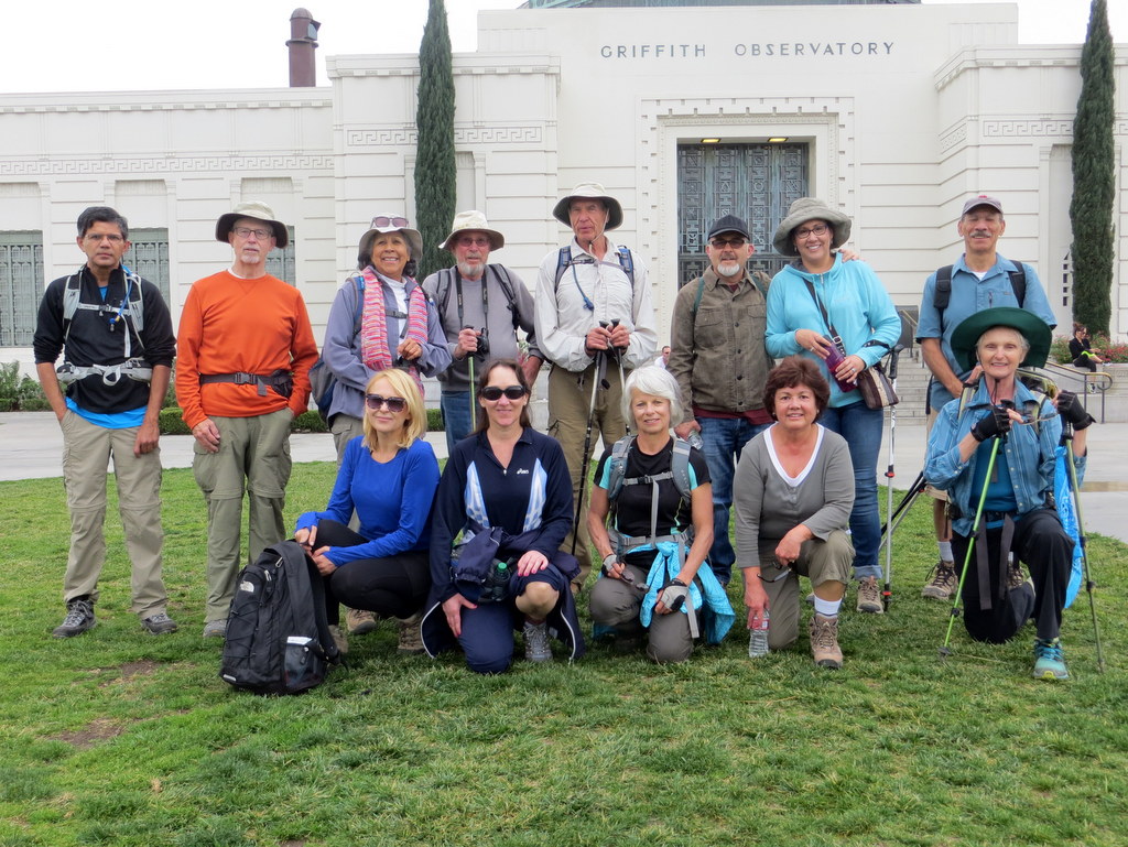
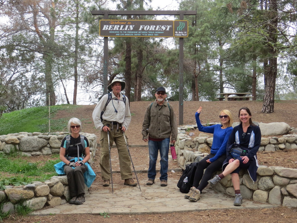
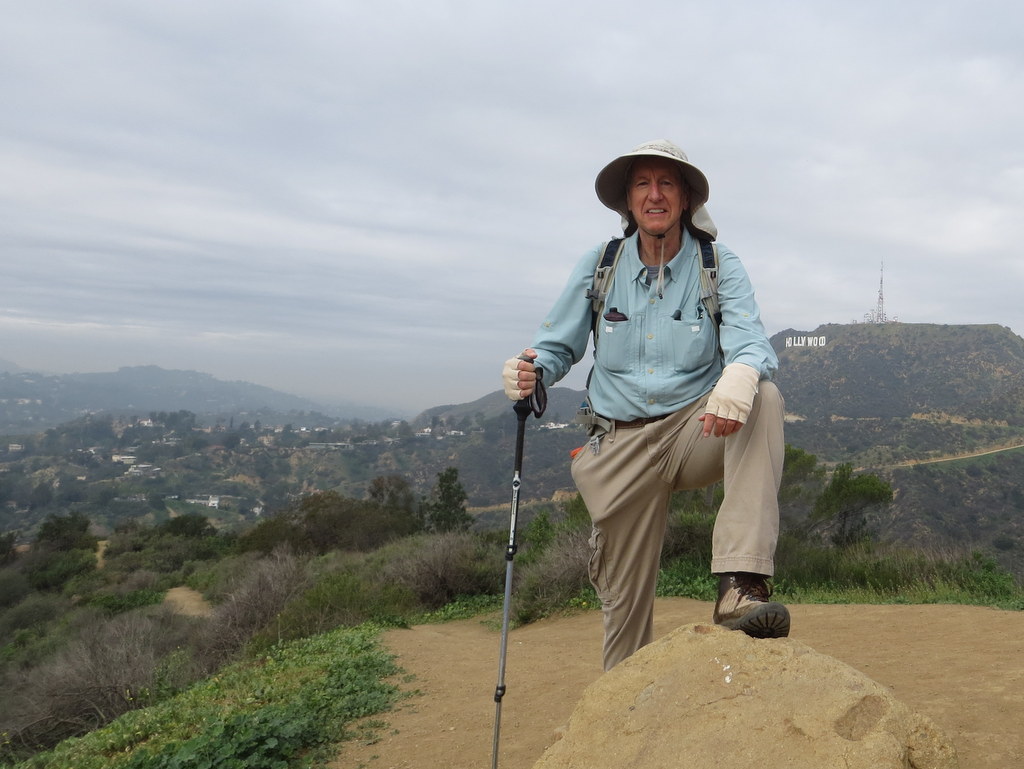
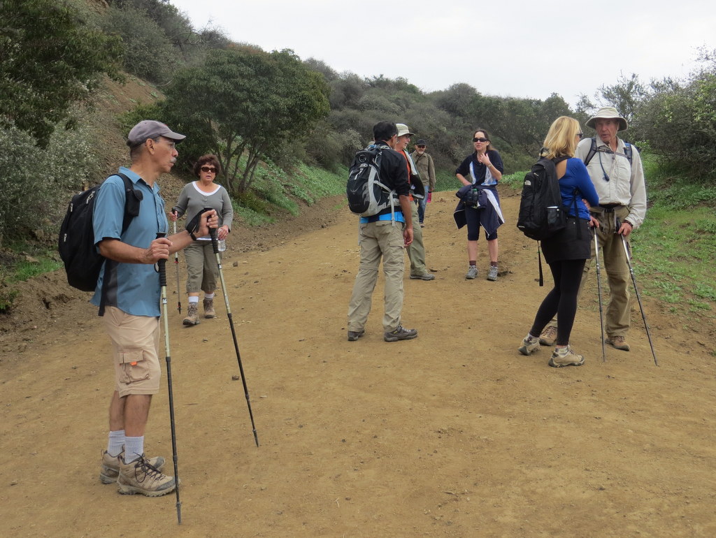
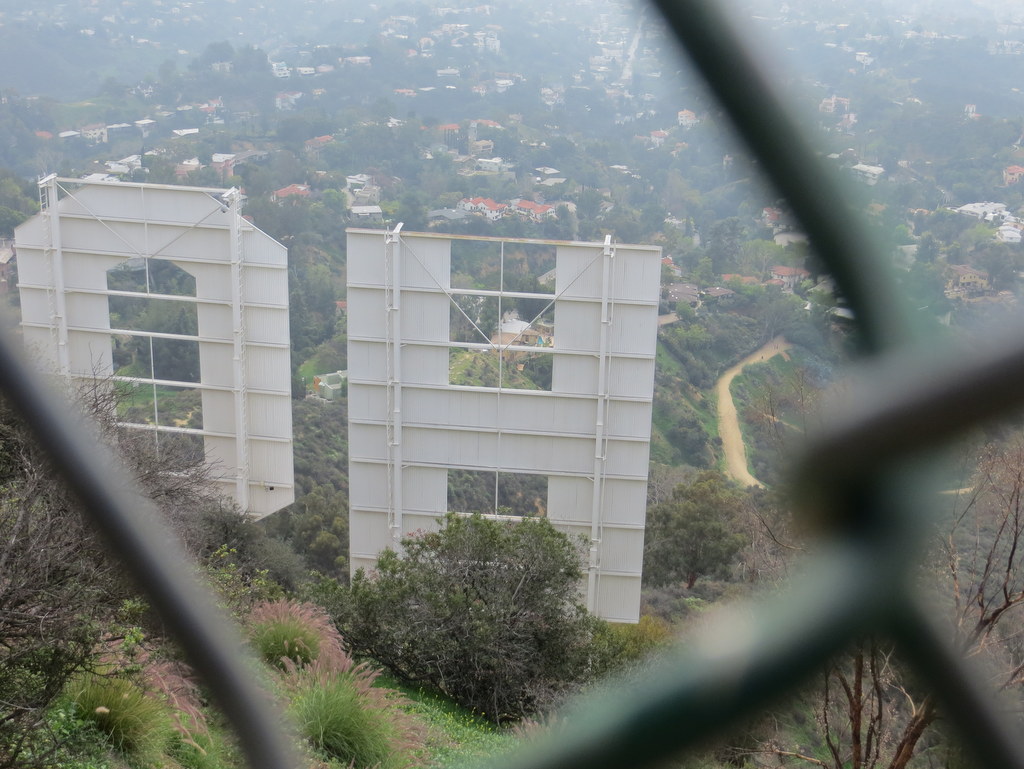

14 hikers carpooled to the Ferndell area (600′) near the southwest corner of Griffith Park on an overcast morning threatening light rain. Our hike began on a well-shaded trail dominated by large oak and sycamore trees, but soon began climbing northward on the East Observatory Trail (a dirt fire road), reaching the Griffith Park Observatory (1,131′) in a mile or so. After a group photo was taken, we continued northward on the Charlie Turner Trail through the Berlin Forest; we, then crossed the Mt. Hollywood Drive tunnel and followed another dirt fire road as it wound its way uphill to the Mount Hollywood overlook (1,625′), the highest point in Griffith Park. The 360-degree view of the surrounding area was limited by the overcast sky. After taking a break, we headed north and then west (passing near Mt. Bell and Mt. Chapel) via a combination of dirt fire roads and one narrow single-track trail to the top of Mt. Lee (1,680′), just above the famous Hollywood sign. We returned to our vehicles via Mt. Lee Drive, the Mulholland Trail the abandoned Mt. Hollywood Drive, and the West Trail, reaching them just as a light rain started. Happy but tired, we headed home having completed a 10-mile hike with 1,884′ of elevation gain/loss on a nice day for hiking with cool temperatures and beautiful green hillsides.
January 31st – Los Robles Trail and Triunfo Canyon Trail Shuttle Hike
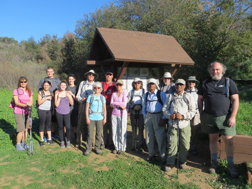
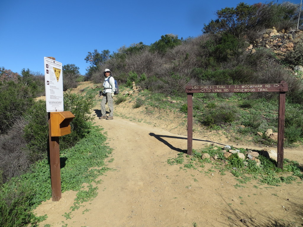
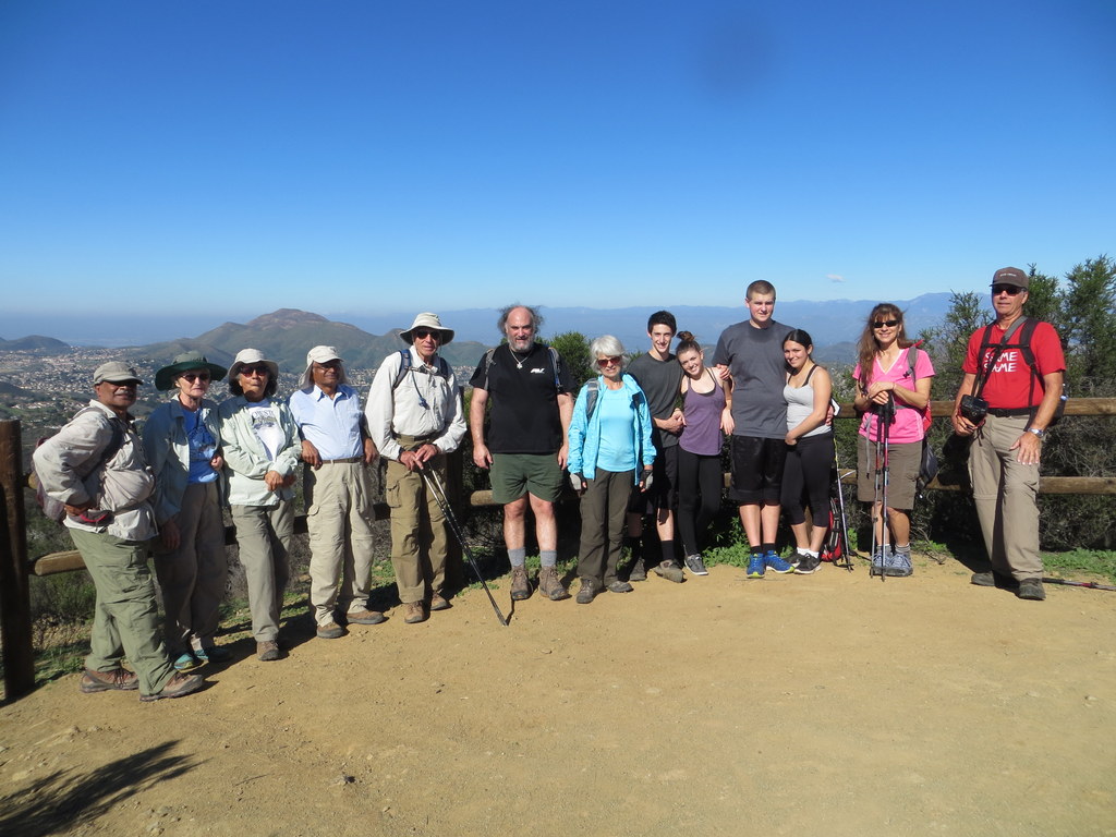

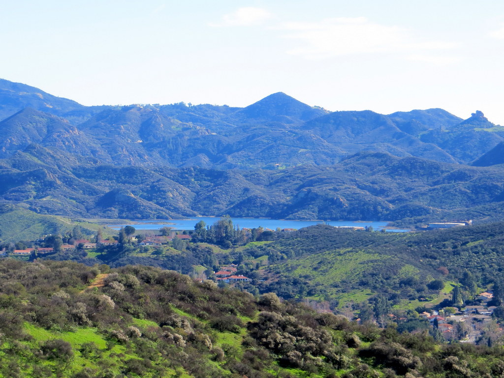
16 hikers met at the Donut Delite carpool point in Simi Valley at 8:00 a.m. on a cool winter morning. Since it was to be a one-way hike, we dropped shuttle vehicles off at Triunfo Community Park in Thousand Oaks where our one-way hike would end. We then drove to the trailhead in a dirt parking lot at the west end of the Los Robles Trail on Potrero Road in Newbury Park. As our hike began, we headed east on the Los Robles Trail as it wound its way along the mountain slopes to Angel Vista, a viewpoint overlooking the Conejo Valley, Boney Mountain, and beautiful Hidden Valley with its many horse ranches. The day was perfect for hiking with nice temperatures, cool breezes, blue skies with interesting cloud formations, and lots of bright new green grass in the meadows. After leaving Angel Vista on the well-maintained trail and passing a short connector trail that leads to the south end of Moorpark Road, we paused for a lunch/rest break at a picnic table in an oak grove before continuing our journey on a wide dirt road. A mile or so after passing a junction with a trail leading down into White Horse Canyon, we reached the upper end of the Triunfo Canyon Trail which we followed down to our shuttle vehicles, passing a large field of shooting star wildflowers near the bottom. We retrieved our other vehicles and returned to Simi Valley having completed an 11.4-mile hike with 2,207′ of elevation gain on a gorgeous day.
January 24th – Simi Peak from the Long Canyon trailhead via the Albertson Motorway and China Flat


16 hikers (+ two dogs) met in the Long Canyon Trail parking lot (1,130′) near the junction of Wood Ranch Parkway and Long Canyon Road on a relatively cool morning with a stiff wind. As the hike began we climbed the moderately strenuous Long Canyon Trail to a ridge (1,560′) east of Simi Valley; along the way there were good views of the west end of Simi Valley and beyond, including the Bard Reservoir. Braving the strongly gusting wind, the group continued eastward along a fire/ranch road to a single-track trail that connected to the Albertson Motorway, a wide, nicely graded dirt fire road that is roughly parallel to Hwy 118. We followed the motorway eastward to a junction (2,121′) with the primary north-south trail/road that runs through China Flat (~2,050′), a lovely grassy meadow that is dotted with oak trees. The wind had abated as we followed a winding trail (the China Flat Loop Trail) to the south until its junction (2,148′) with the Simi Peak Trail. We then began the final ascent along the fairly well-maintained trail to Simi Peak (2,403′), the highest point in the Simi Hills (which occupy the area between Simi Valley and Highway 101 and between Highway 23 and the San Fernando Valley). We rested atop the peak and enjoyed the panoramic view, including looking down at Oak Park to the south. After a while we returned to the Long Canyon Trail parking lot, deviating slightly from our earlier route, thus completing a 10-mile hike through the beautiful green Simi Hills.
January 10th – Cheeseboro Canyon – Palo Comado Canyon Loop
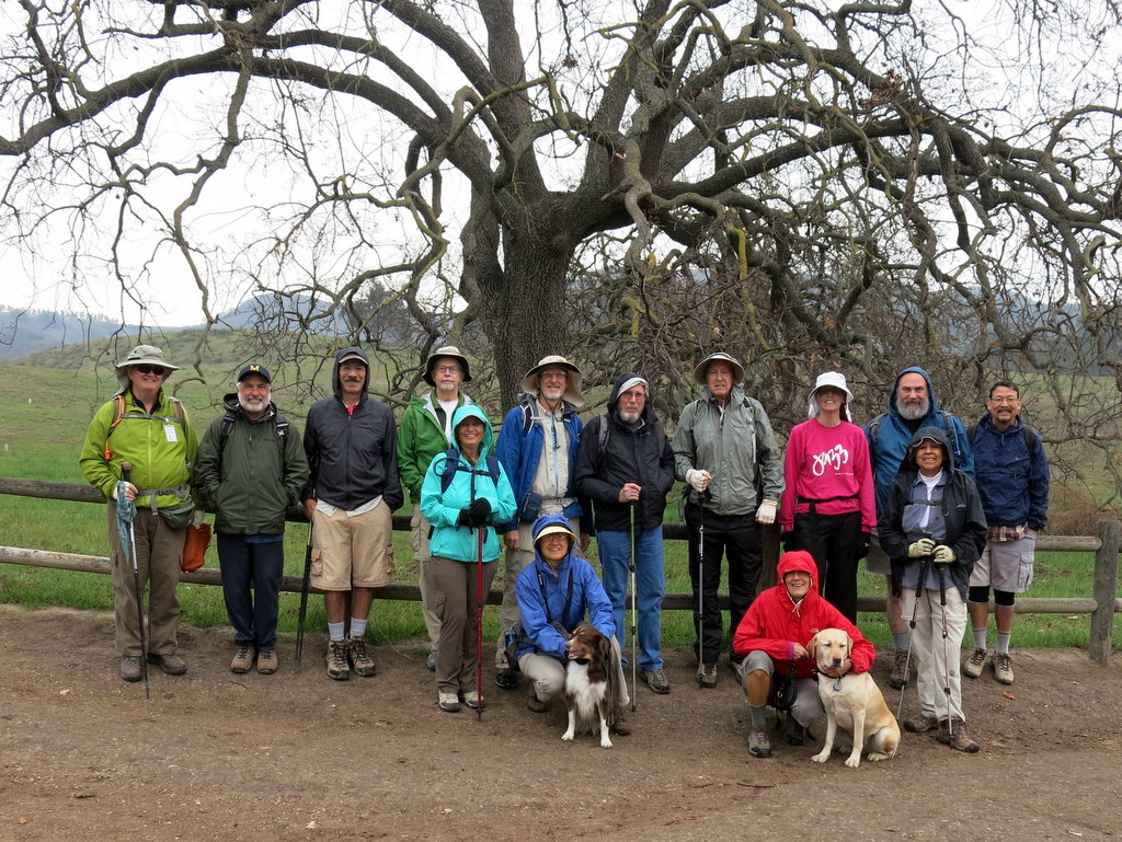

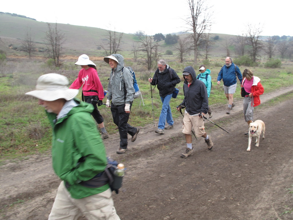


14 hikers (+ two dogs) carpooled to the Cheeseboro Canyon trailhead in the Simi Hills on an overcast morning with a forecast of light rain. After donning our rain gear we began our hike by heading north on the Cheeseboro Canyon trail toward Shepherd’s Flat. After hiking about 2.5 miles along the nearly level dirt road through grasslands and oak woodlands we reached a junction with the Ranch Center Trail. Given the steadily falling rain and the increasingly muddy trail, we decided to shorten our planned route by heading westward over a ridge to Palo Comado Canyon [rather than continuing northward]. Upon reaching Palo Comado Canyon we headed south in that canyon and then east on a connector road to the Modelo Trail which we followed southward until we reached the original trailhead, thus completing a somewhat shorter loop than originally planned. We reached our vehicles having completed an 8.25-mile hike with around 1,300′ of elevation gain/loss on a wet morning enhanced by the beauty of the surrounding green hills and trees glistening with raindrops.
January 3rd – Big Sky Loop
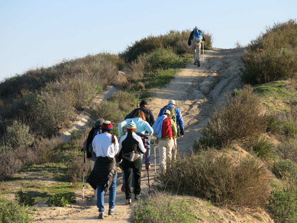


12 hikers (and one dog) met along Big Sky Place in Simi Valley on a cold winter morning for our first hike of the new year. After a short walk northward on a sidewalk on Erringer Road we turned east onto the well-signed Big Sky Trail. After crossing a small stream, we began the loop portion of the hike as we climbed fairly steeply up to the north-south ridge to the east of the development. Upon reaching the ridgetop we enjoyed views of the surrounding area including the west end of Simi Valley, the Santa Susana Mountains (particularly Whiteface Mountain), the Simi Hills, and blurry views of Anacapa Island and Santa Cruz Island. We continued our hike by heading north along the ridge nearly to Lost Canyons Drive at which point the trail turned sharply to the south as it wound its way along the oak-lined stream that runs through the Big Sky development. Recent rains had resulted in bright green grass in places along the trail and we heard several frogs along the streambed. We finished our invigorating outing having completed a 4.7-mile hike with 900′ of elevation gain/loss.